Golden Tussock and a DOC Hut above the Cardrona Valley
The Meg Hut Pack Track climbs from the Cardrona Valley into the Pisa Conservation Area, following an old high-country route to a musterers' hut beside the Roaring Meg / Te Wai a Korokio river. The track starts from the Tuohys Gully car park, just off Cardrona Valley Road, roughly halfway between Wānaka and Queenstown. It is a steady climb on a rough 4WD track of around 650 metres, but the reward of golden tussock hills in Summer and Autumn, snow-covered ridges in Winter, and a beautifully positioned hut is considerable.
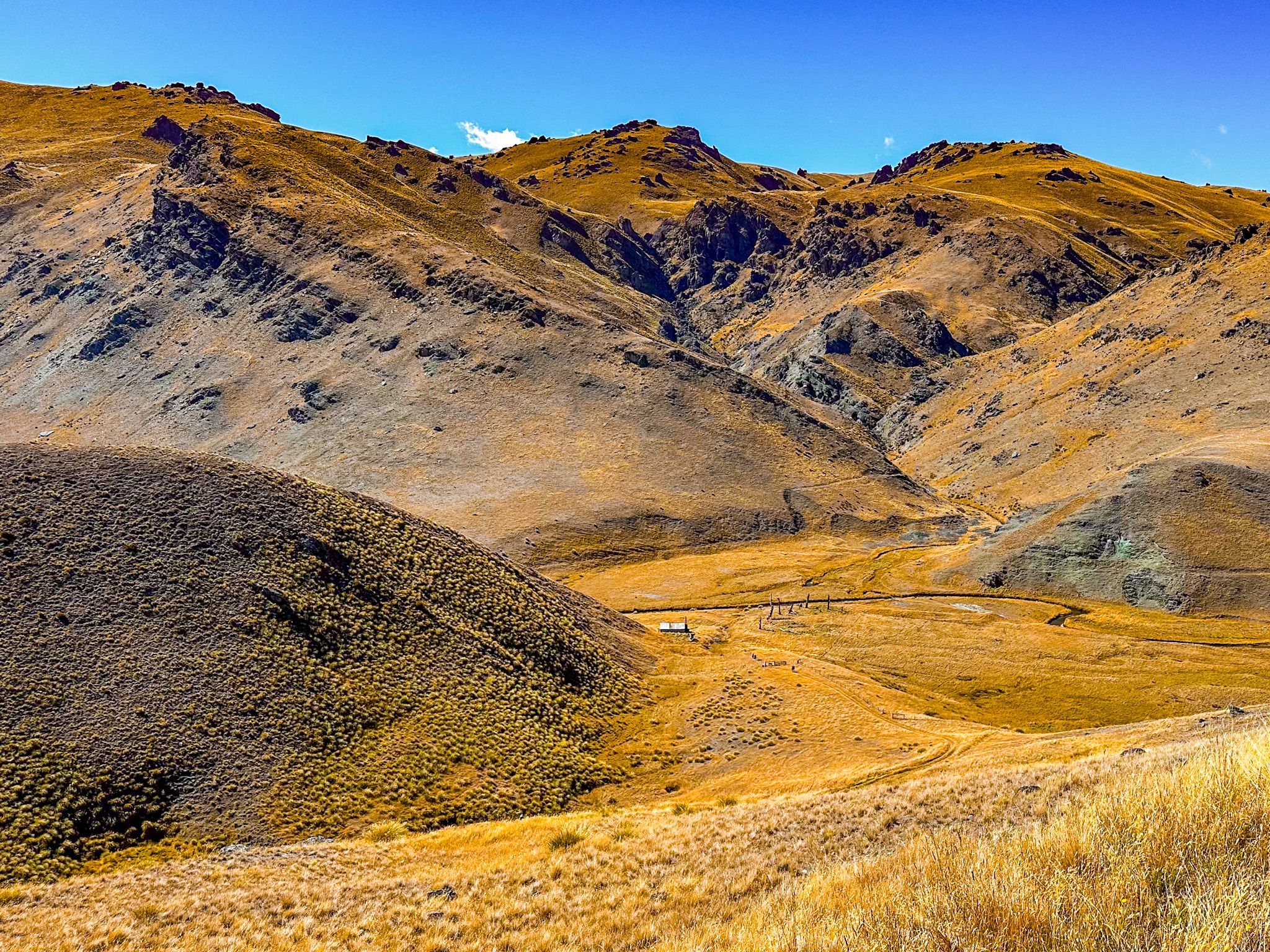
The Climb to Tuohys Saddle
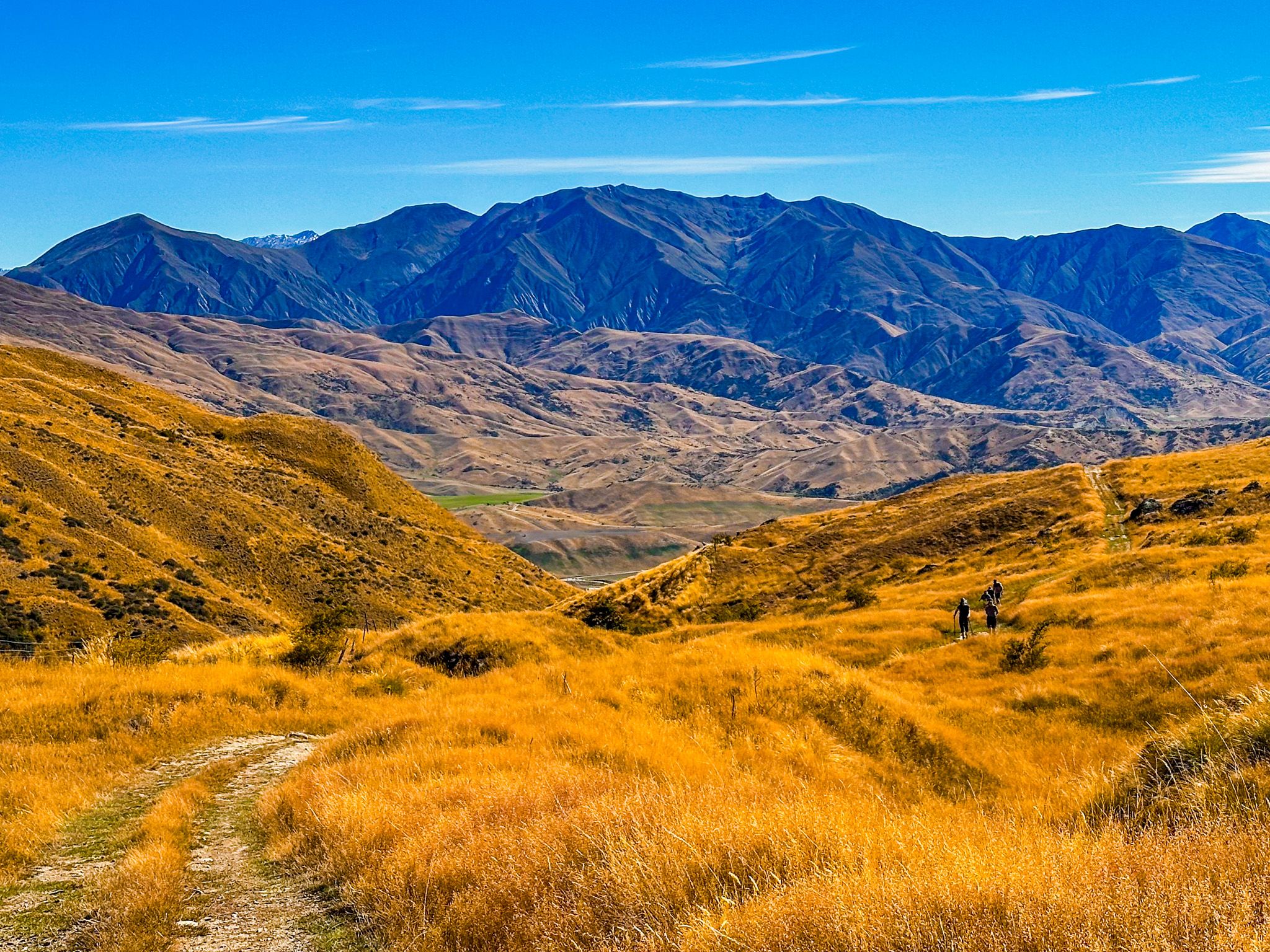
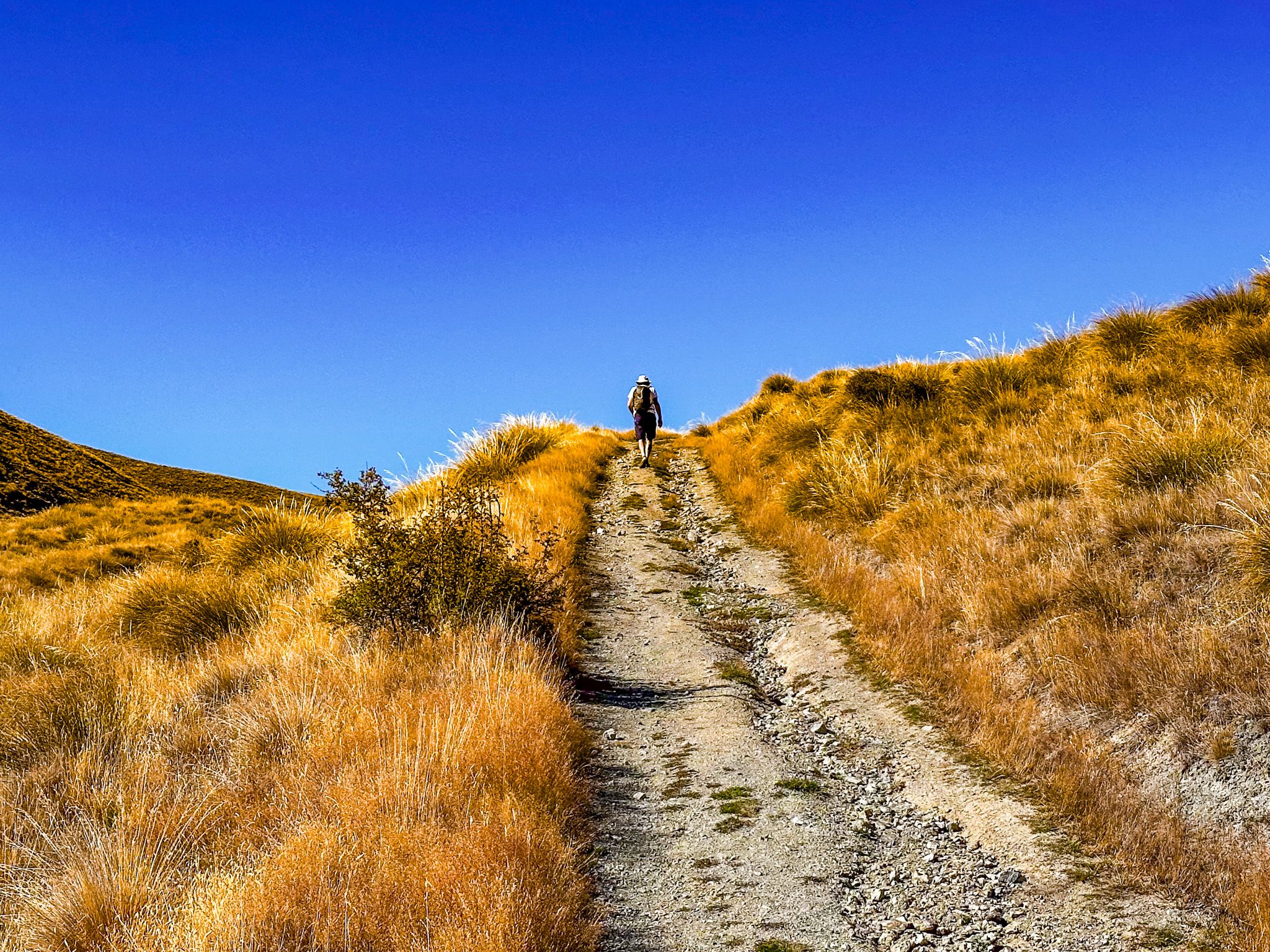
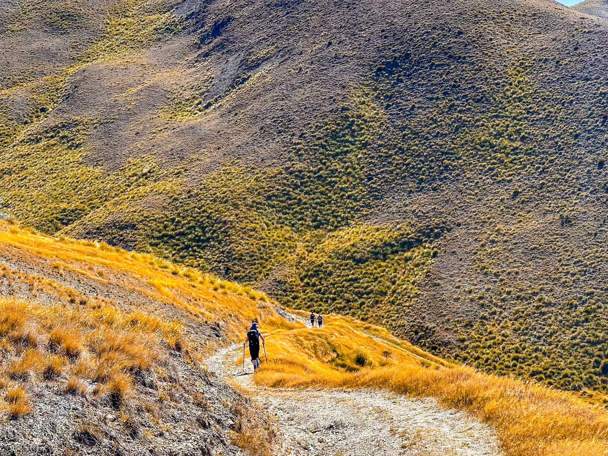
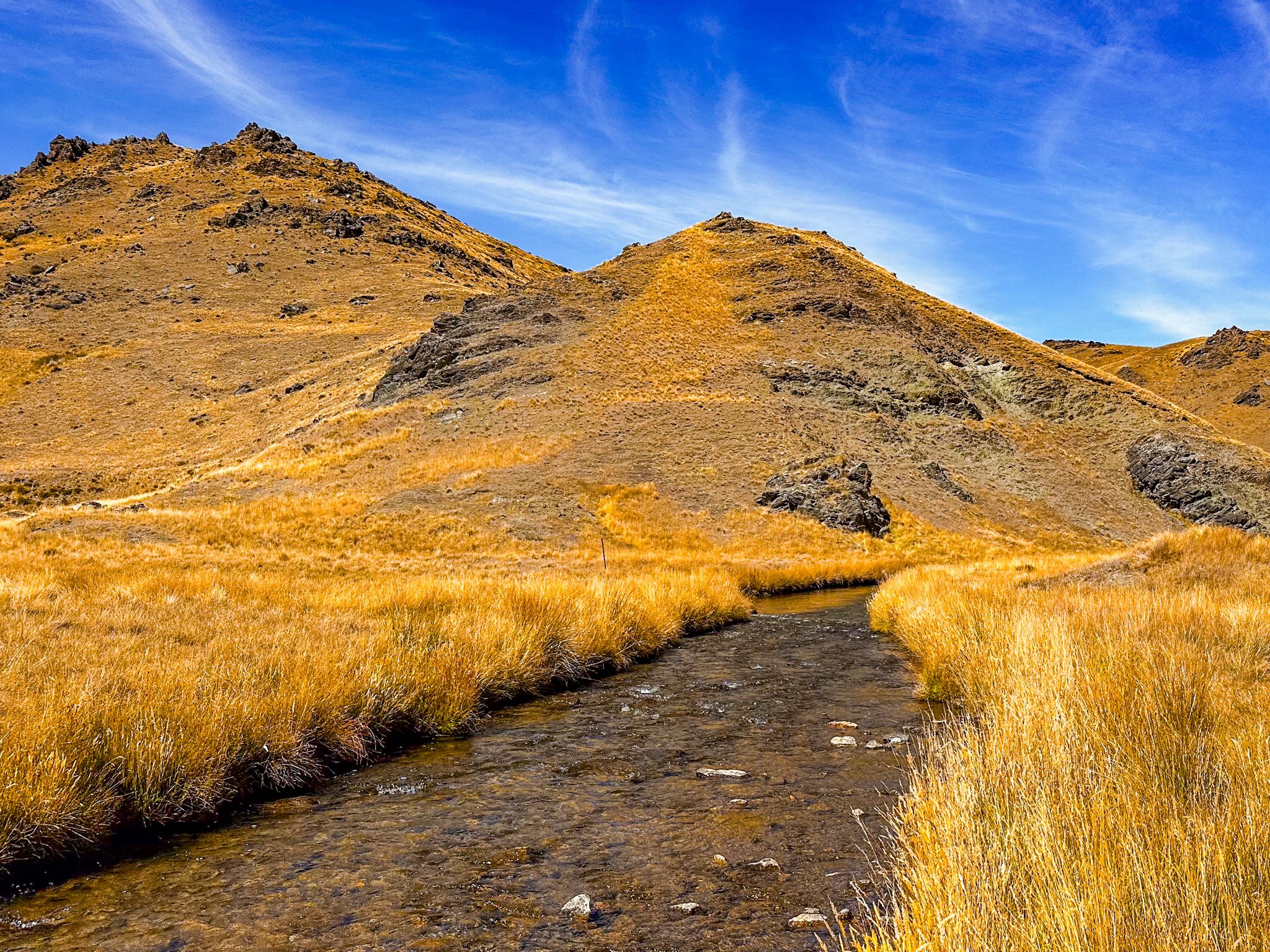
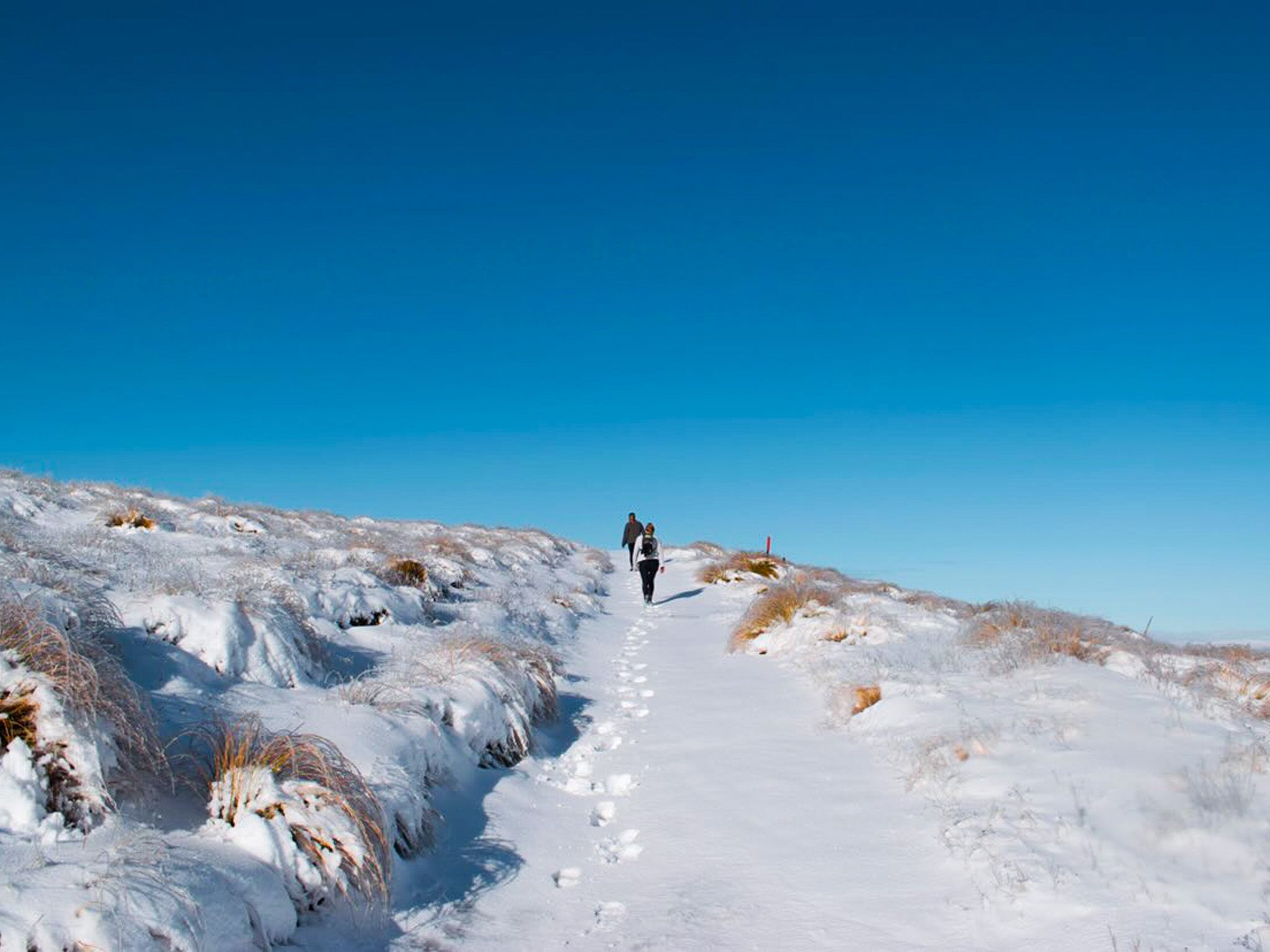
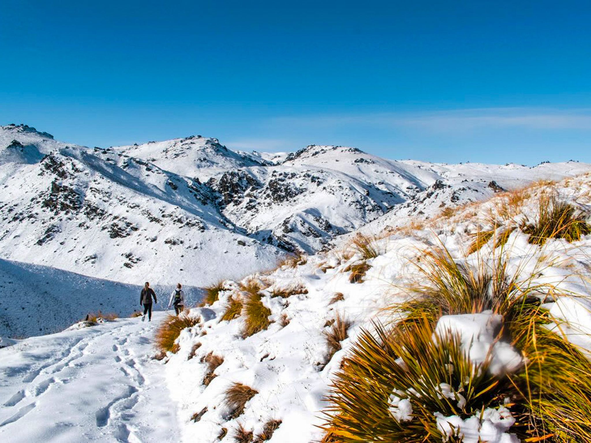
From the car park, the track follows an old four-wheel drive road up through the broad Tuohys Gully, gaining height steadily on a well-marked route. The landscape is open and characteristically Central Otago: dry grass giving way to tussock, with wide skies and distant ridgelines. There is no shade, so sun protection and water are essential.
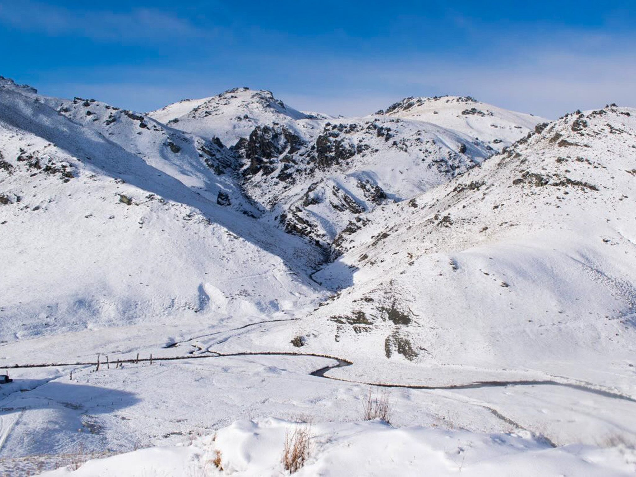
The track tops out at Tuohys Saddle at 1,140 metres, with wide views across the Cardrona Valley and surrounding ranges. At the saddle, the track divides: the left fork descends around 200 metres to Meg Hut; the right continues as the Roaring Meg Pack Track all the way to the Roaring Meg power station site and State Highway 6 in the Kawarau Gorge.
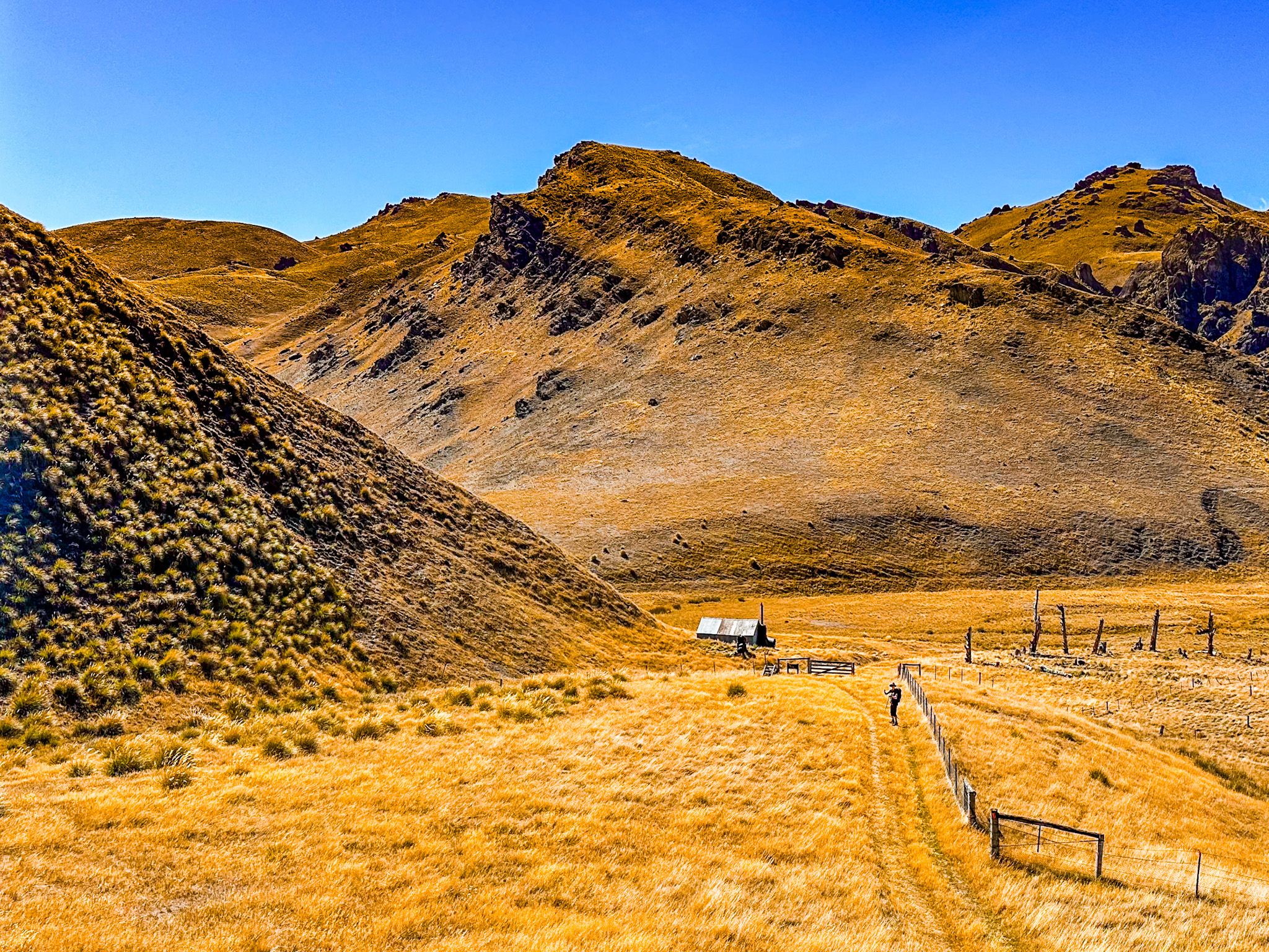
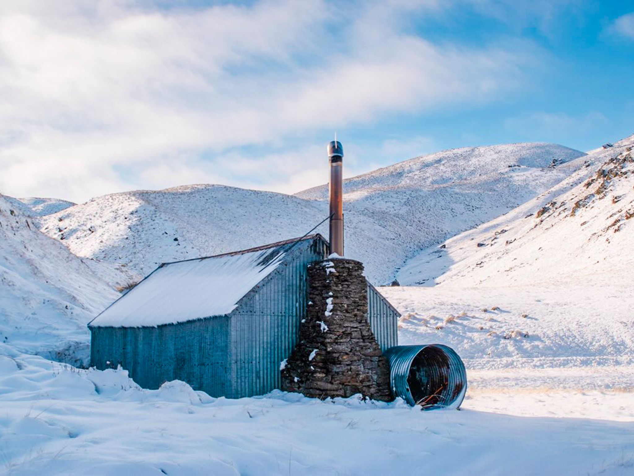
Meg Hut
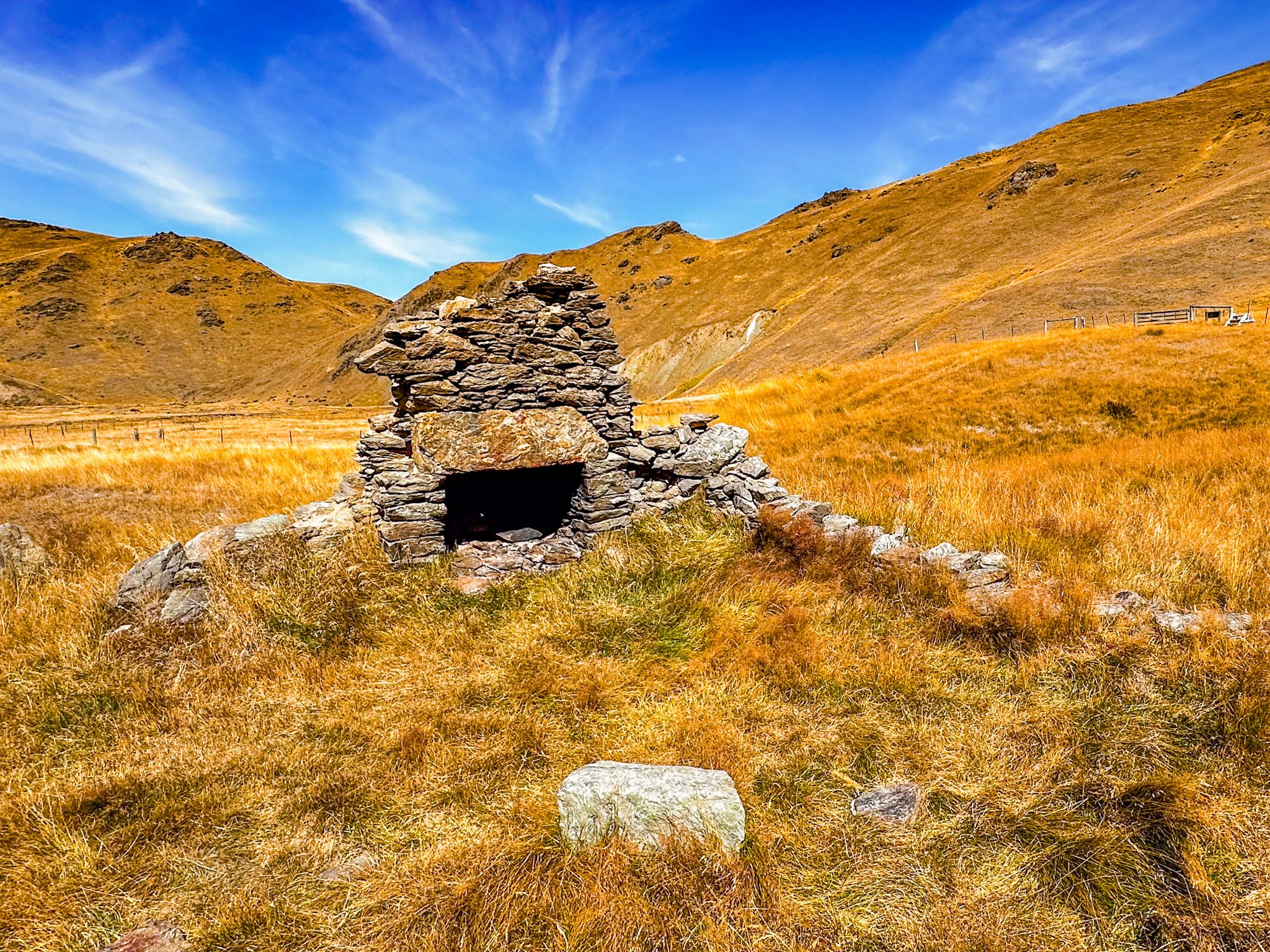
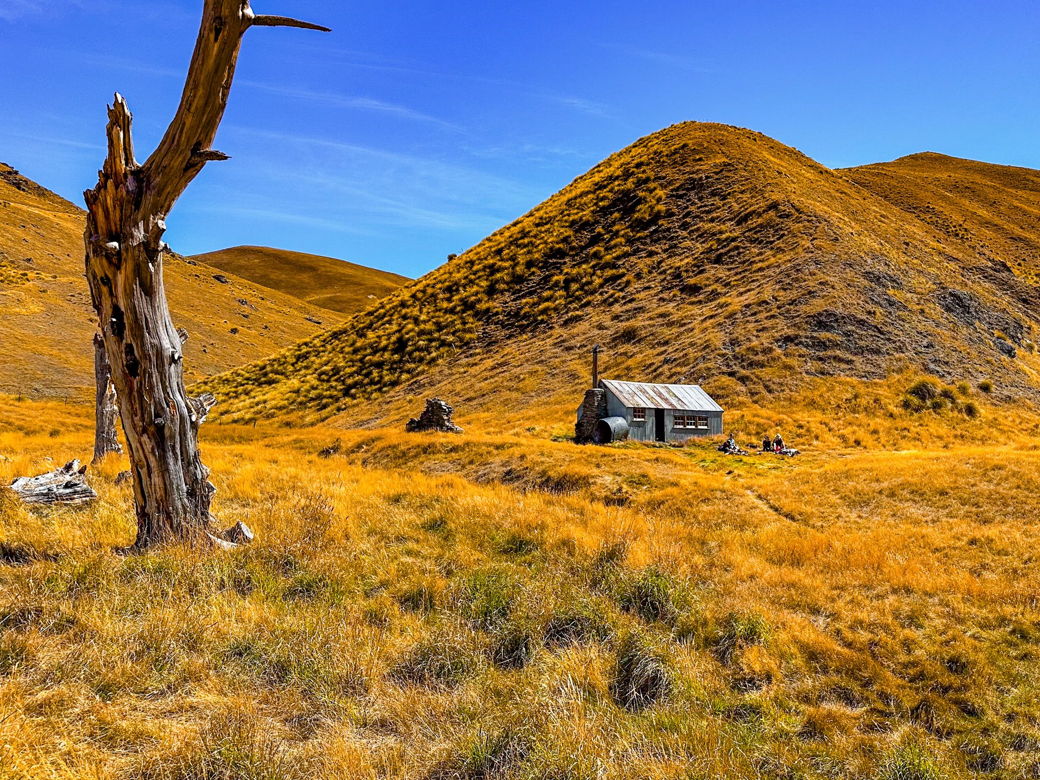
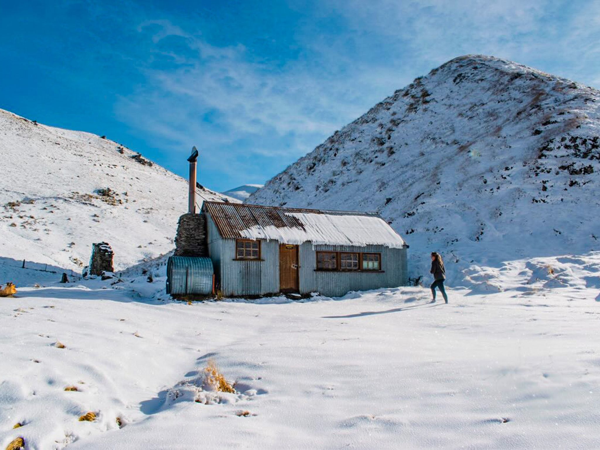
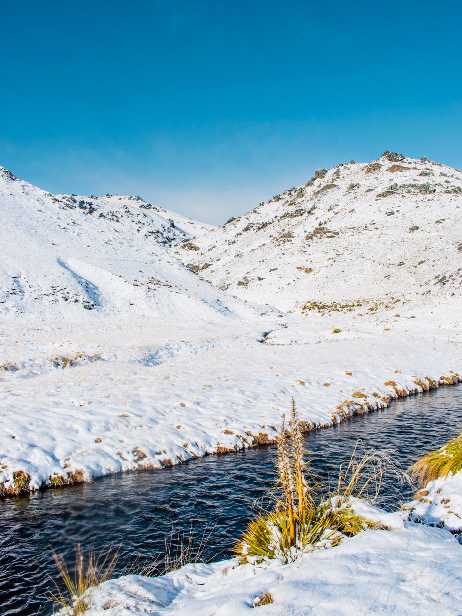
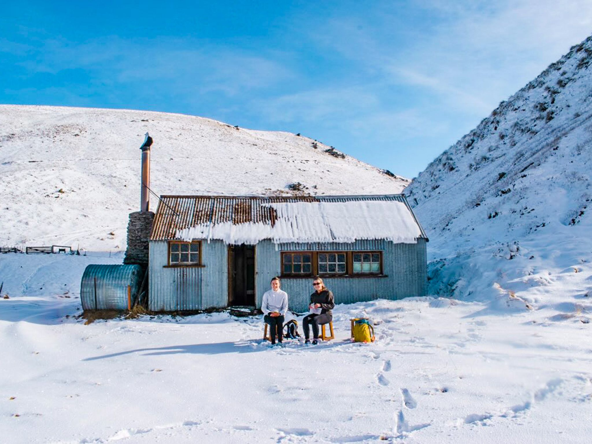
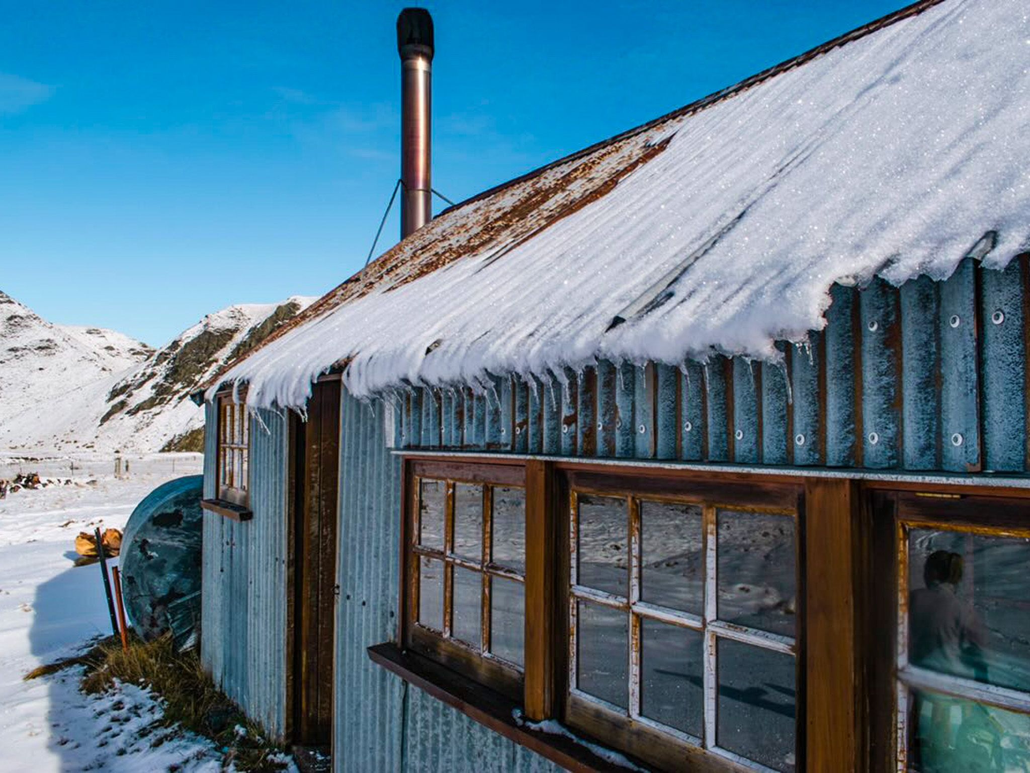
The walk down to Meg Hut is steep but spectacular, with the hut set in a golden tussock valley, surrounded by rounded peaks to either side. The hut is on the track side of the river, which wanders through the length of the valley. The DOC hut includes a fireplace, a supply of firewood, and is a relative luxury in the bare hills of Central Otago. It was originally built in 1958 for the musterers working high-country runs in the area, and the stone remains of an earlier hut are visible nearby.
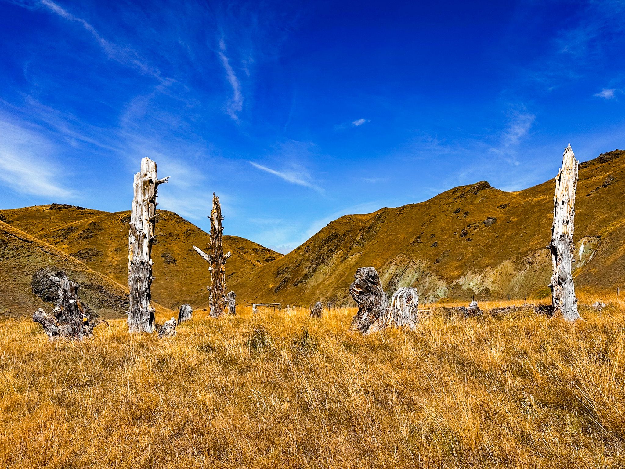
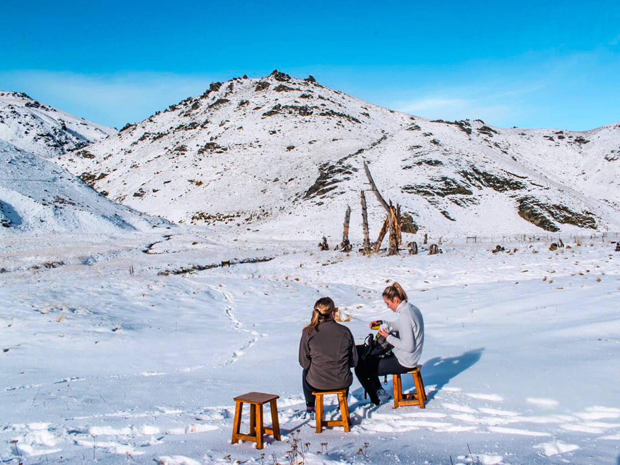
Near the hut, there is a small cluster of dead tree trunks and stumps from trees planted long ago, most likely by early travellers, gold prospectors, or musterers. In a landscape entirely without trees, they are a striking and unexpected sight.
The return trip from the car park is around 14 kilometres and takes five to six hours at an easy pace, with a lunch break at the hut. Choose a fine day.
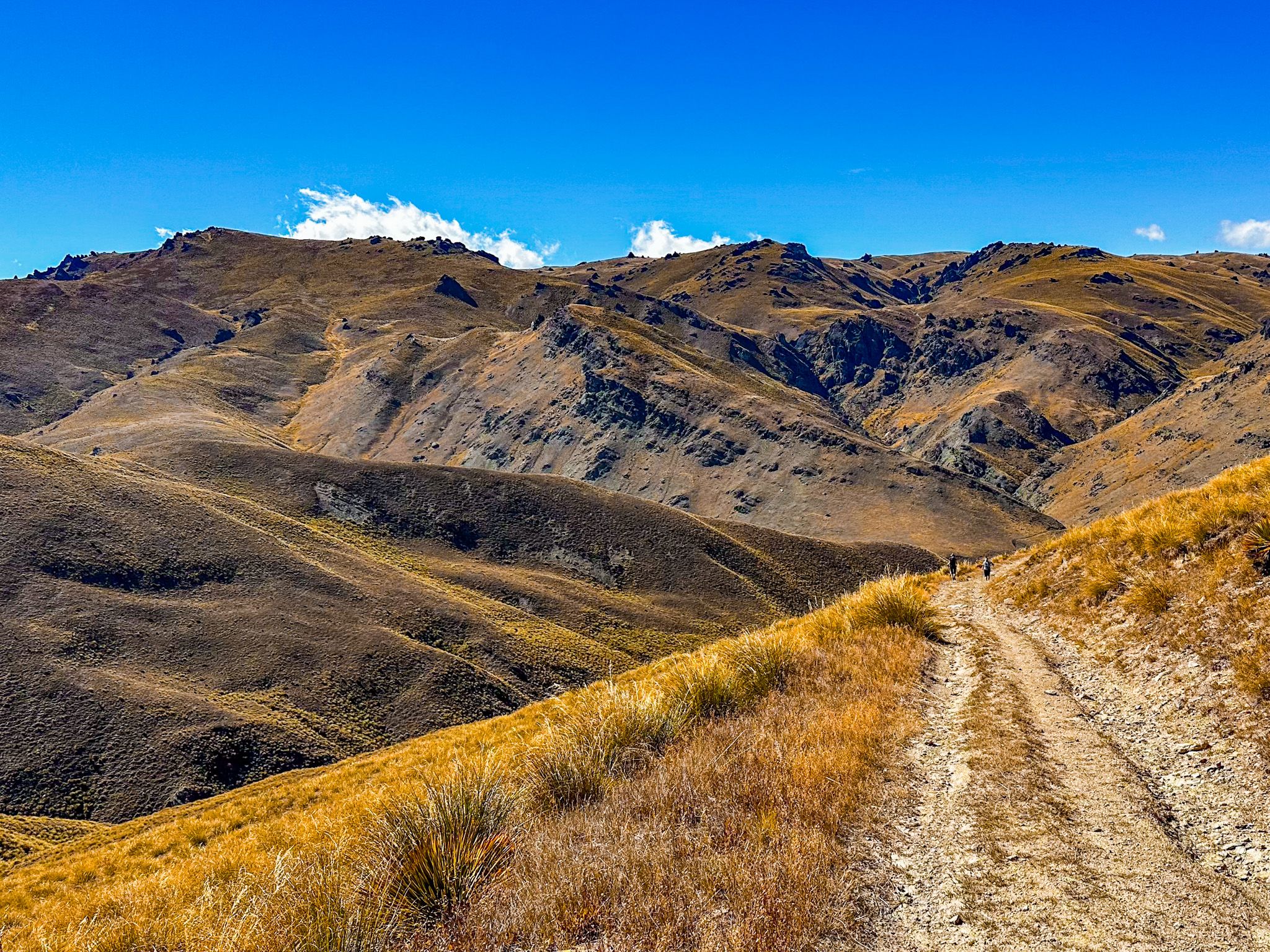
From Meg Hut, you can also continue on the Cardrona-Cromwell Pack Track to Deep Creek Hut and eventually Cromwell, following ridge lines through the Pisa Conservation Area. This is a historic route that was first walked by miners moving through the hills in the 1860s.
Seasonal Character and Onward Options
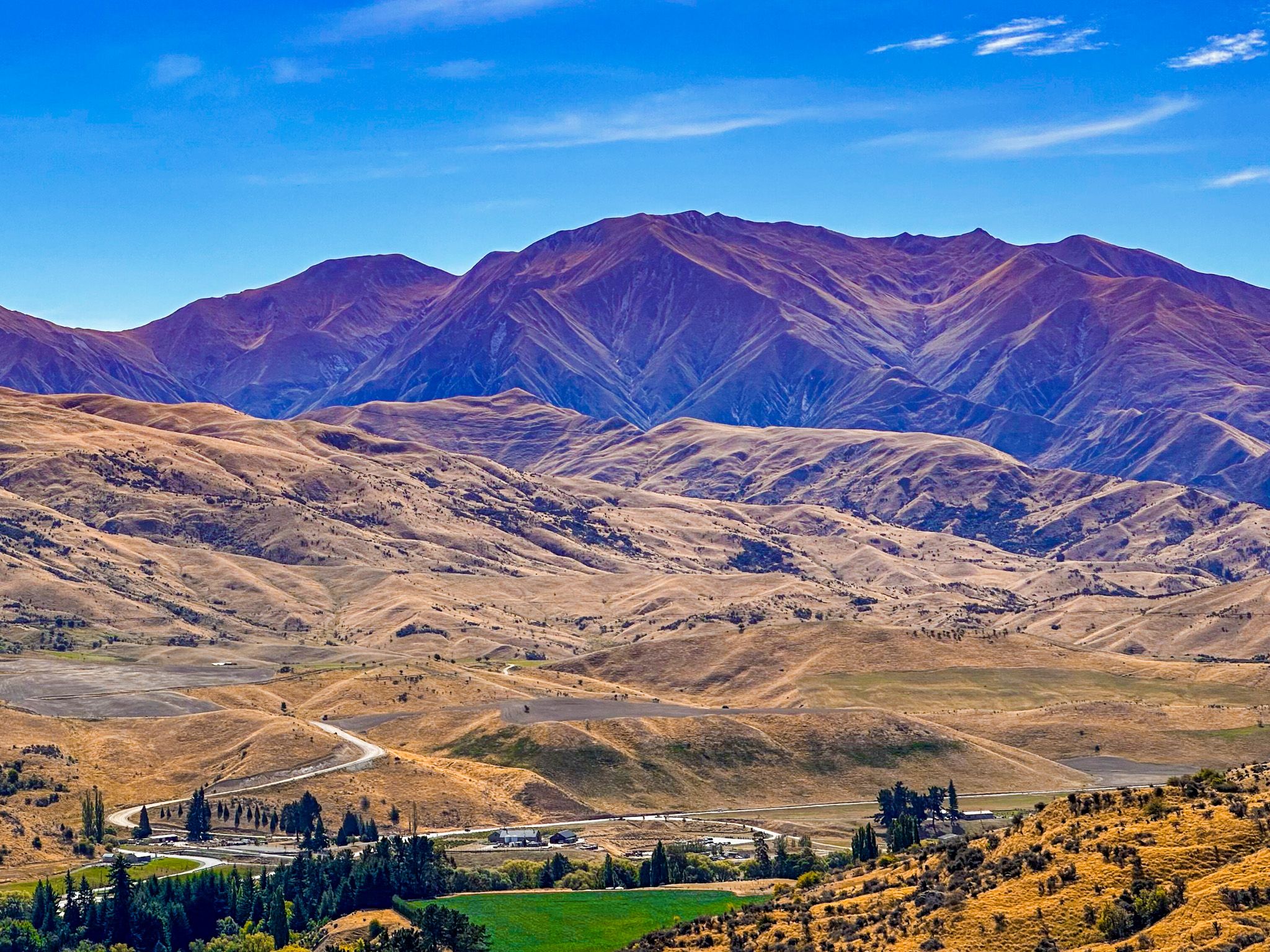
The track's character changes dramatically with the seasons. In Summer and Autumn, the tussock and golden grass create a warm, saturated landscape that is especially photogenic. In Winter, snow reaches the saddle and the tops regularly, and can settle in the river basin by the hut, giving it a remote, alpine feel.

How to Get There
From Wānaka, drive south on Cardrona Valley Road towards Queenstown. Just before the township of Cardrona, turn left onto Tuohys Gully Road, immediately before the Snow Farm / Cardrona Alpine Resort turnoff. The Tuohys Gully car park is a short distance along this road, where the track is signposted.
The drive from Wānaka takes around 30 minutes. Parking is limited, so an early start is recommended on busy weekends. There are no facilities at the car park, and the nearest toilets and services are in the township of Cardrona.
Other walks around Wānaka include Mount Iron, Roys Peak, the Glendhu Bay Track, the Motutapu River Track, Diamond Lake and Rocky Mountain.
Photo Credit: Georgia (@the_cornishpixietravels) for the wonderful Winter snow shots