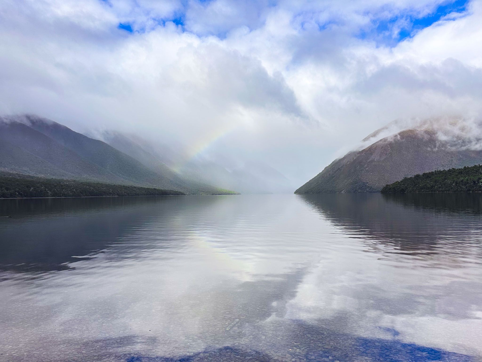
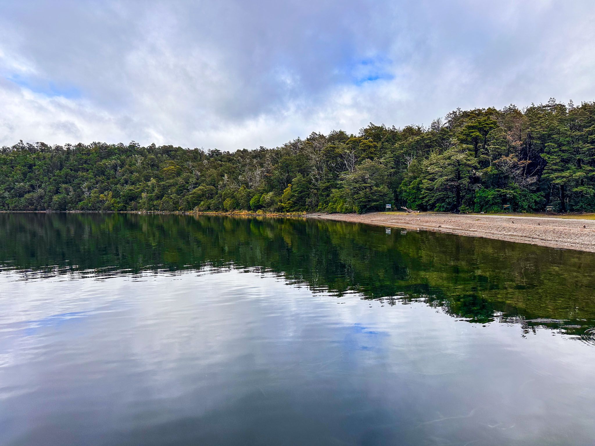
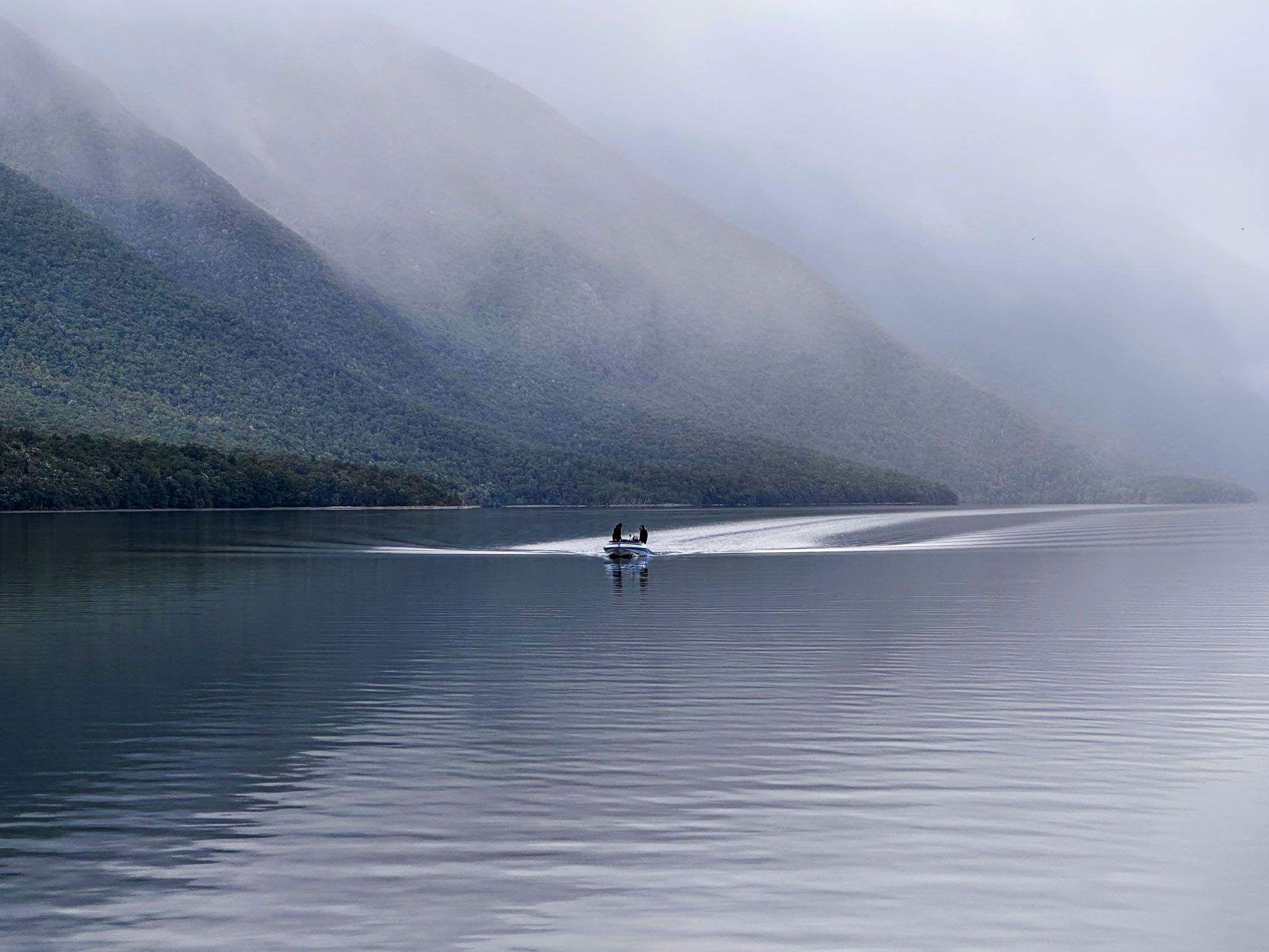
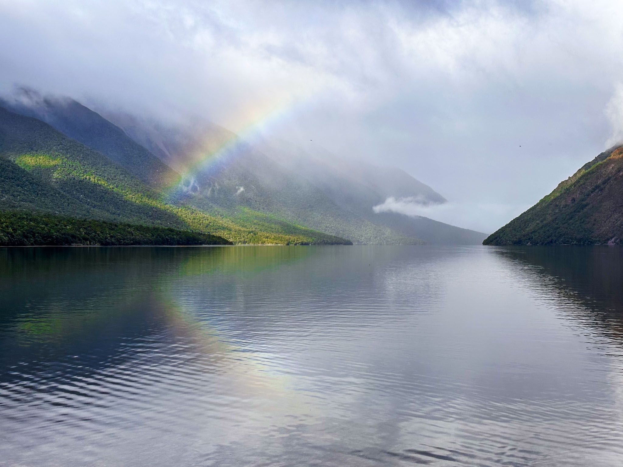
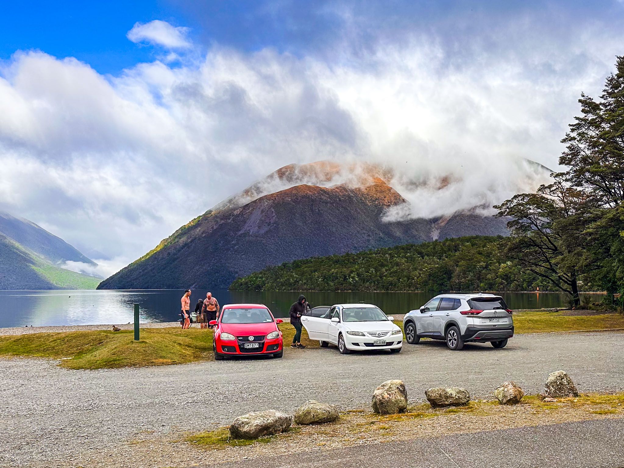
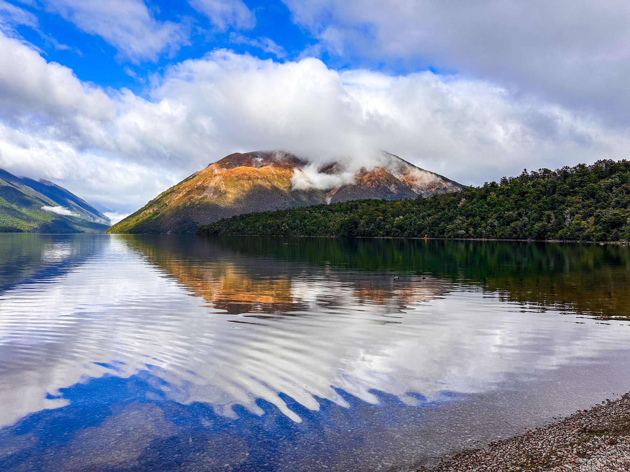
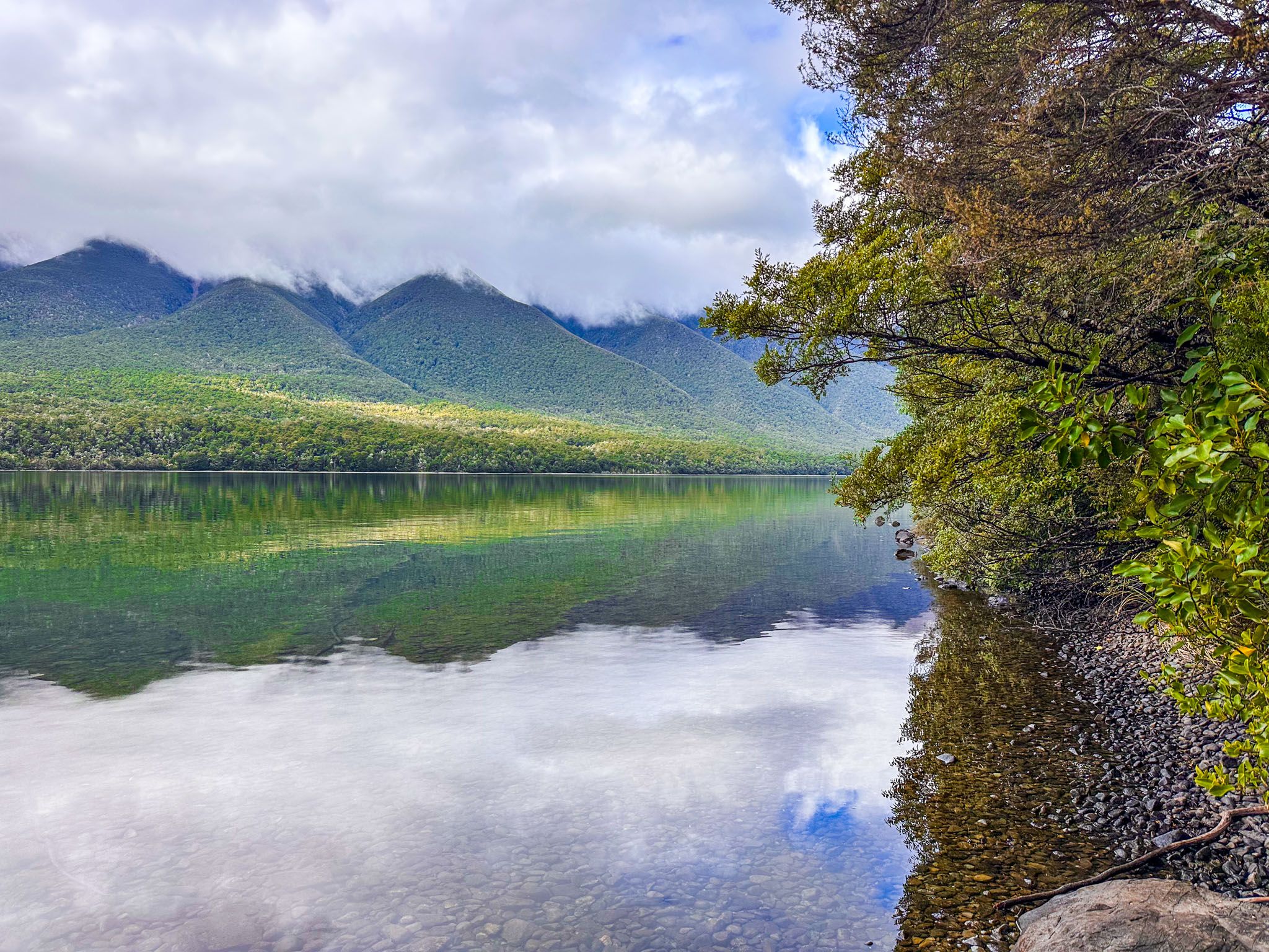
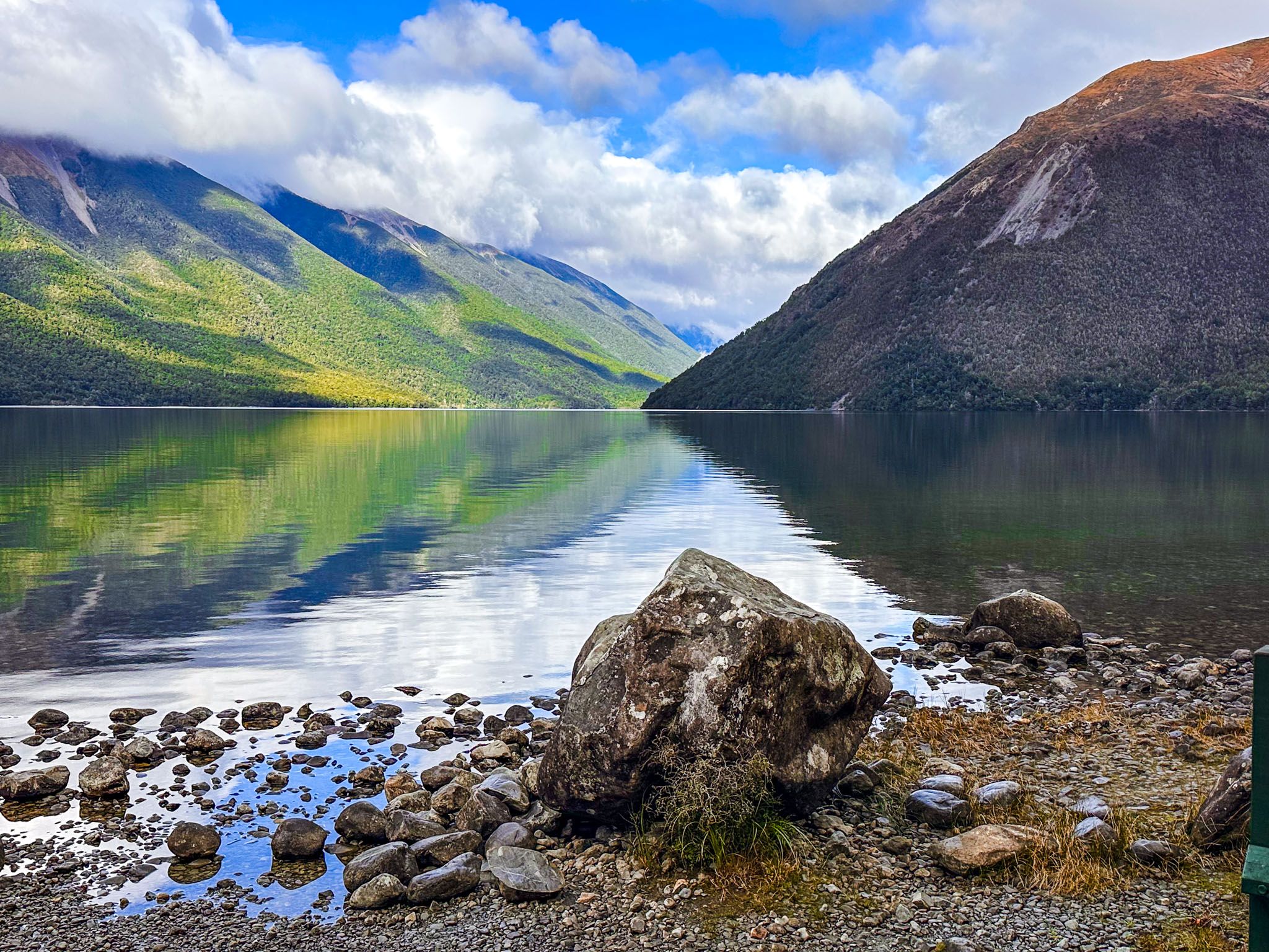
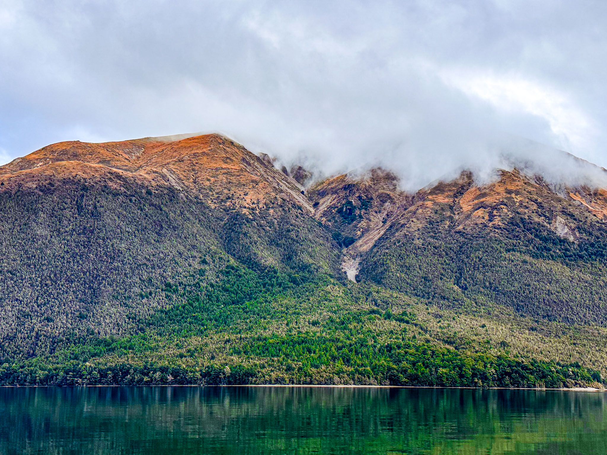
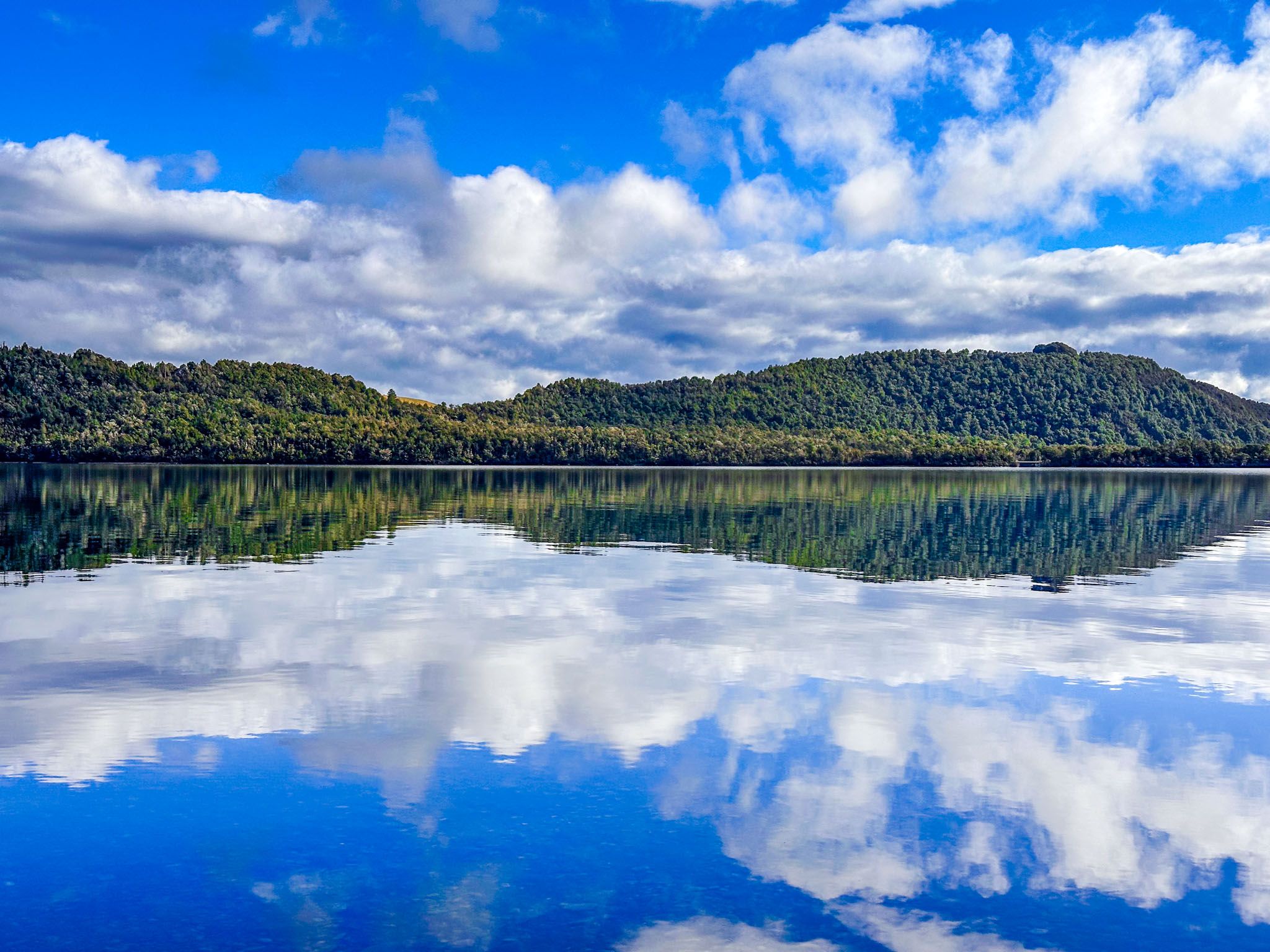
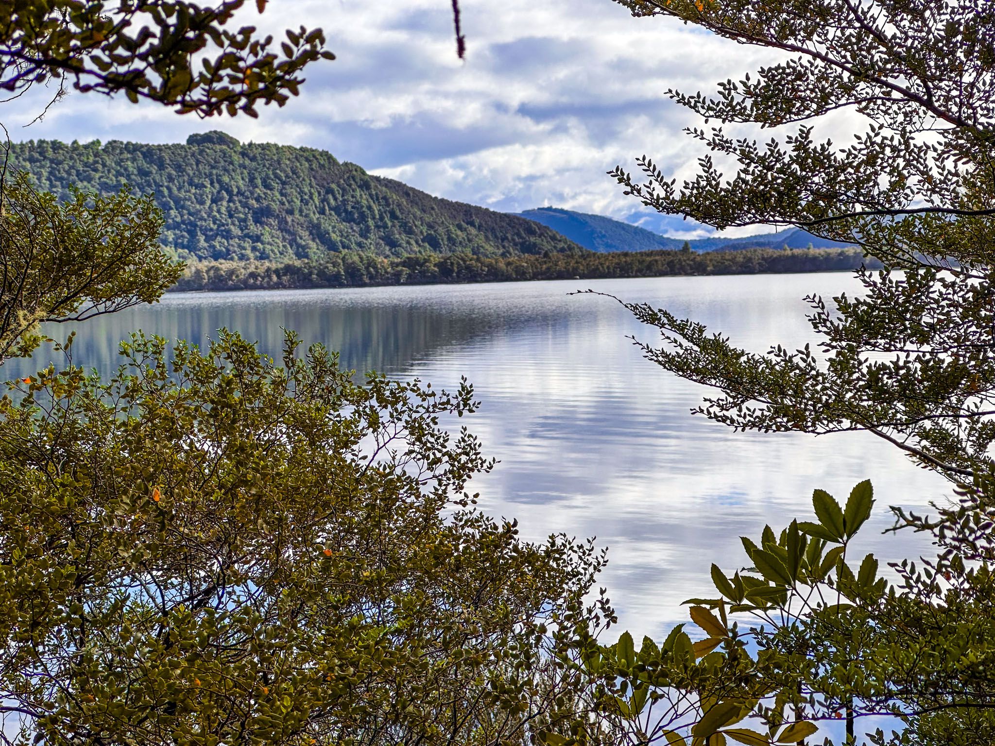
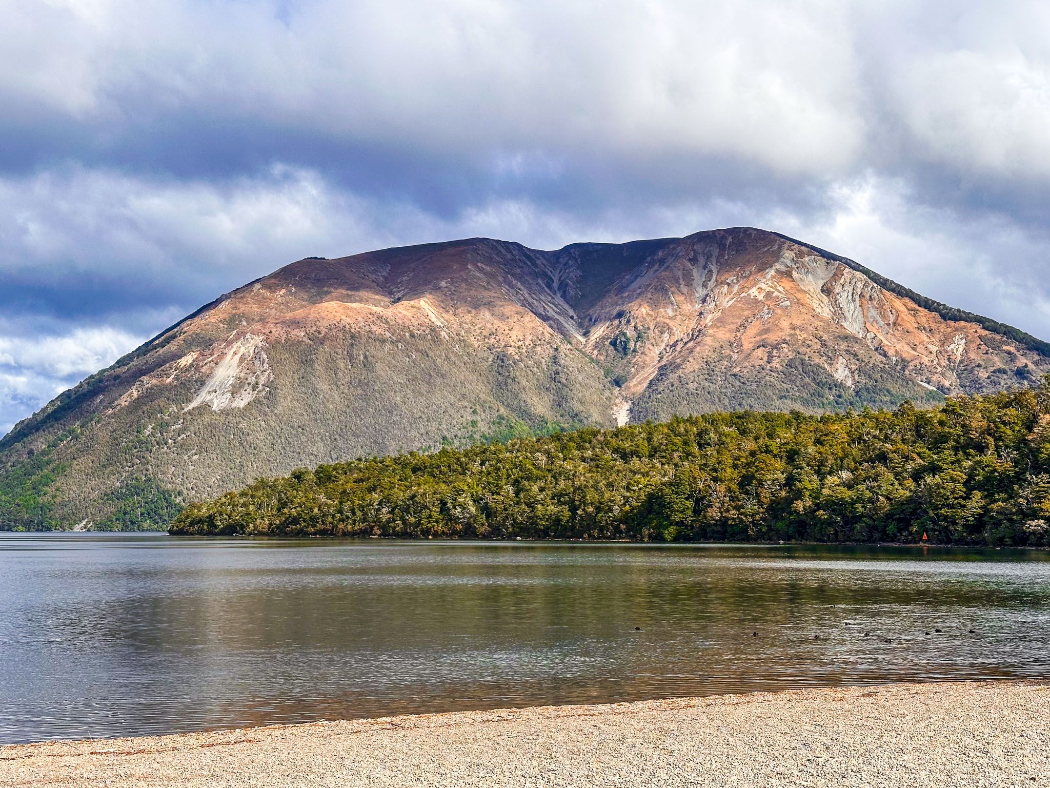
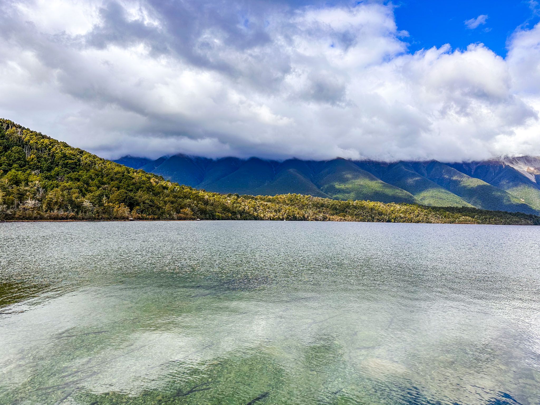
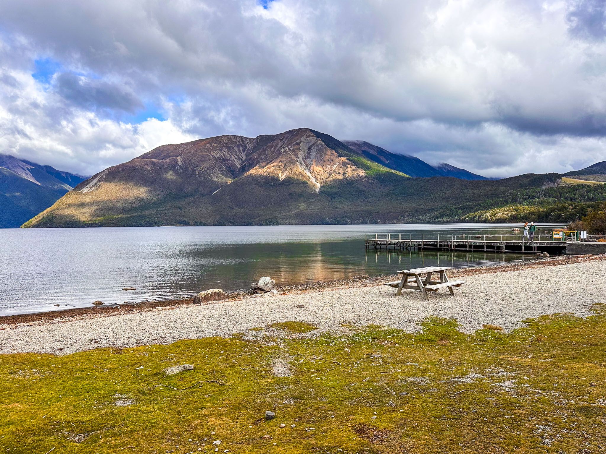
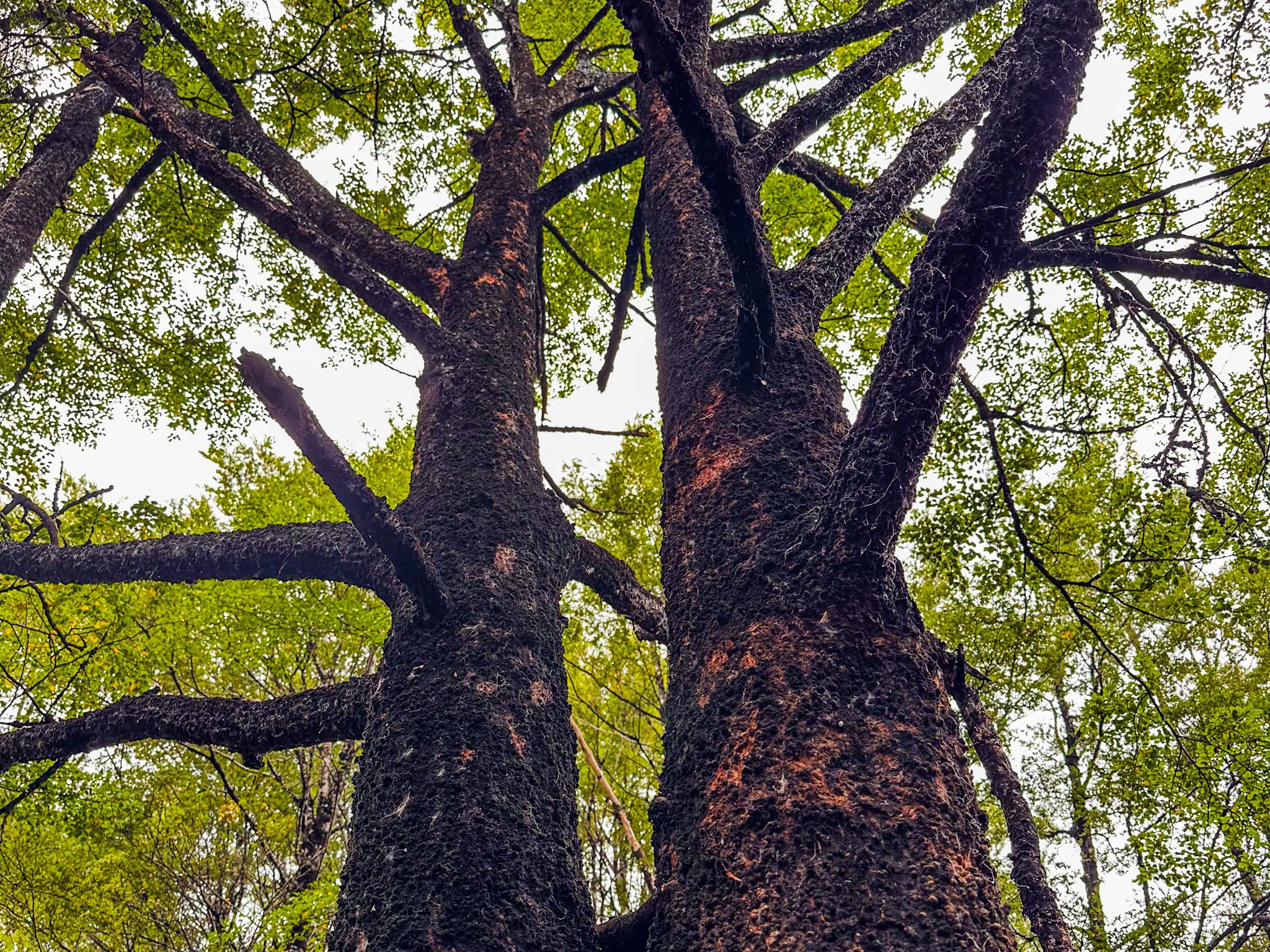
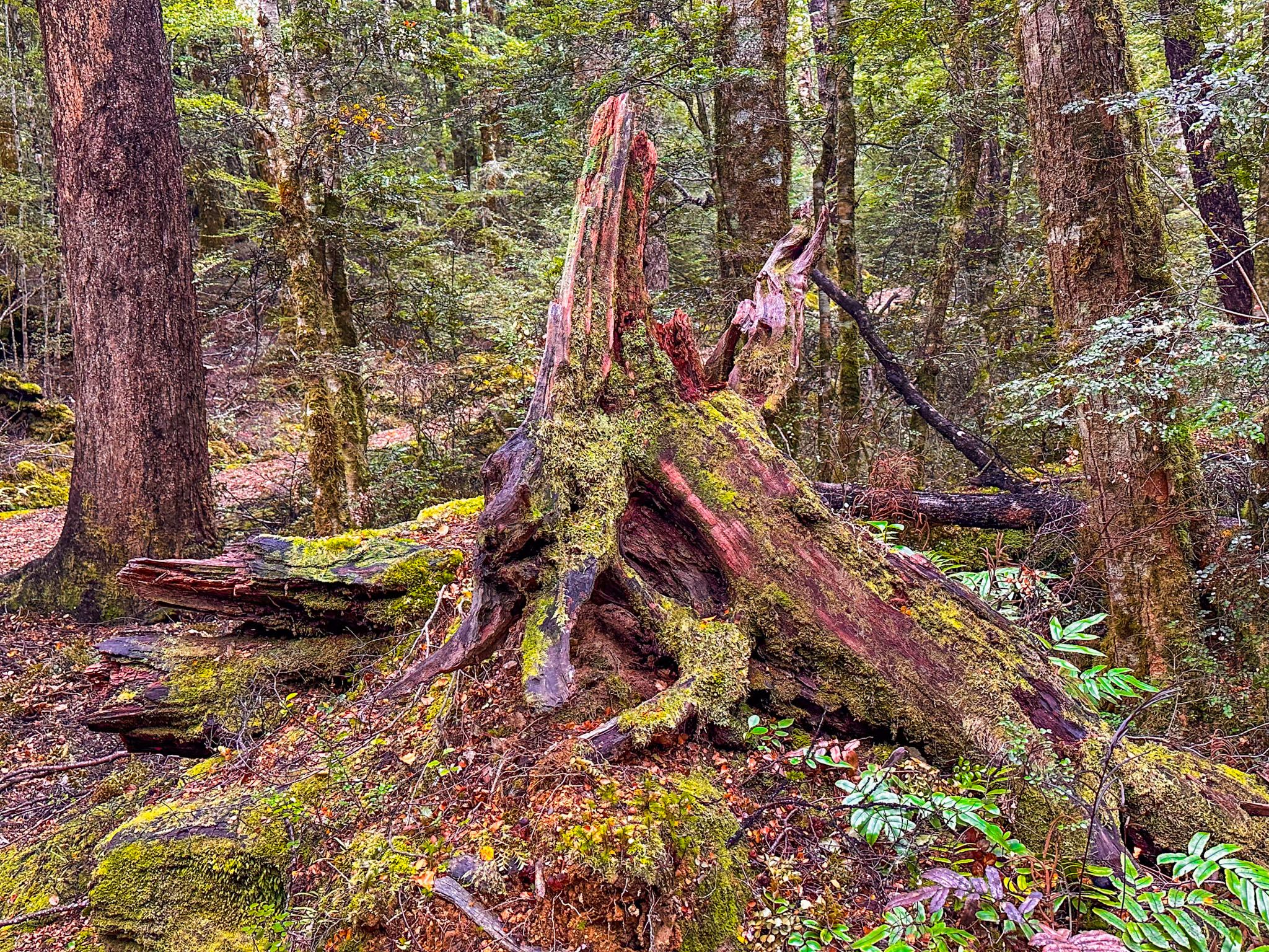
Lake Rotoiti is a mountain lake 620 metres above sea level within Nelson Lakes National Park. The lake is 82 metres deep and was gouged out by the Travers Glacier between 20,000 and 12,000 years ago. It is fed by the Travers River from the south and, in turn, feeds the Buller River from its northern end in West Bay. The west side of the lake is dominated by Mount Robert and the north end of the Travers Range, while the east side is bounded by the St Arnaud Range. Surrounded by lush beech forests, the lake is a popular spot for hiking and water-based outdoor activities. The small community of Saint Arnaud lies at the northern end of the lake, just below the southern end of the Richmond Range.
A notable feature of the lake and its surrounding mountains is the impact of erosion. Glacial epics have excavated the lake, but post-epic periods have been dominated by ongoing erosion of the surrounding mountains, resulting in the accumulation of sediment in the lake. Barring another glacial epic, the mountains will flatten and the lake will be filled in!
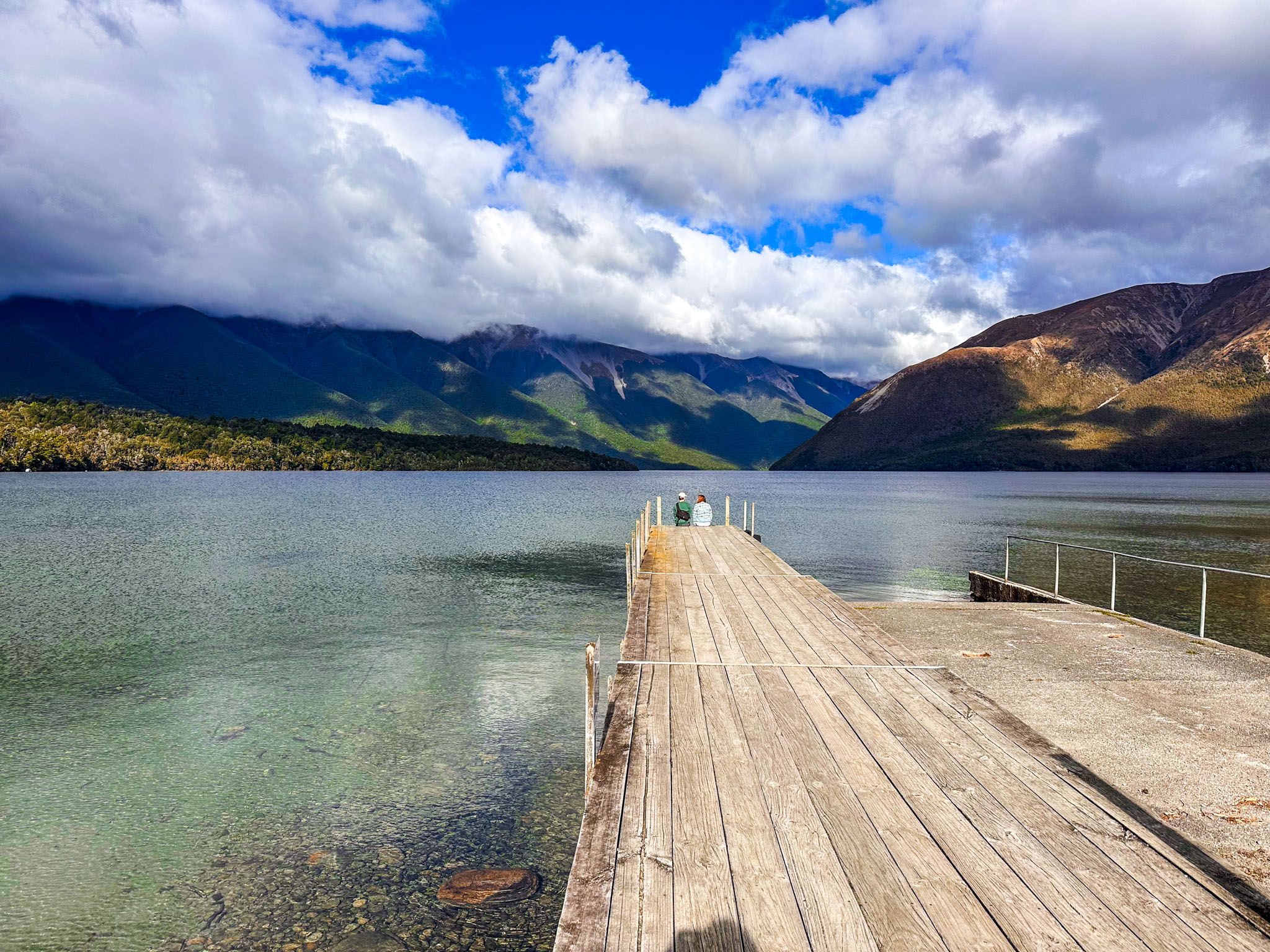
The lake has two main access points, both of which have campsites. Kerr Bay is on the south side of St Arnaud, with a large reserve and a short walk to the fabulous DOC Visitor Centre. The Kerr Bay Campsite is at the east end of the bay. West Bay, with the Jetty campsite and Buller campsite, is a larger bay to the west of the town and Kerr Bay. Between the bays lies the Brunner Peninsula, which is covered in regenerating beech forest.
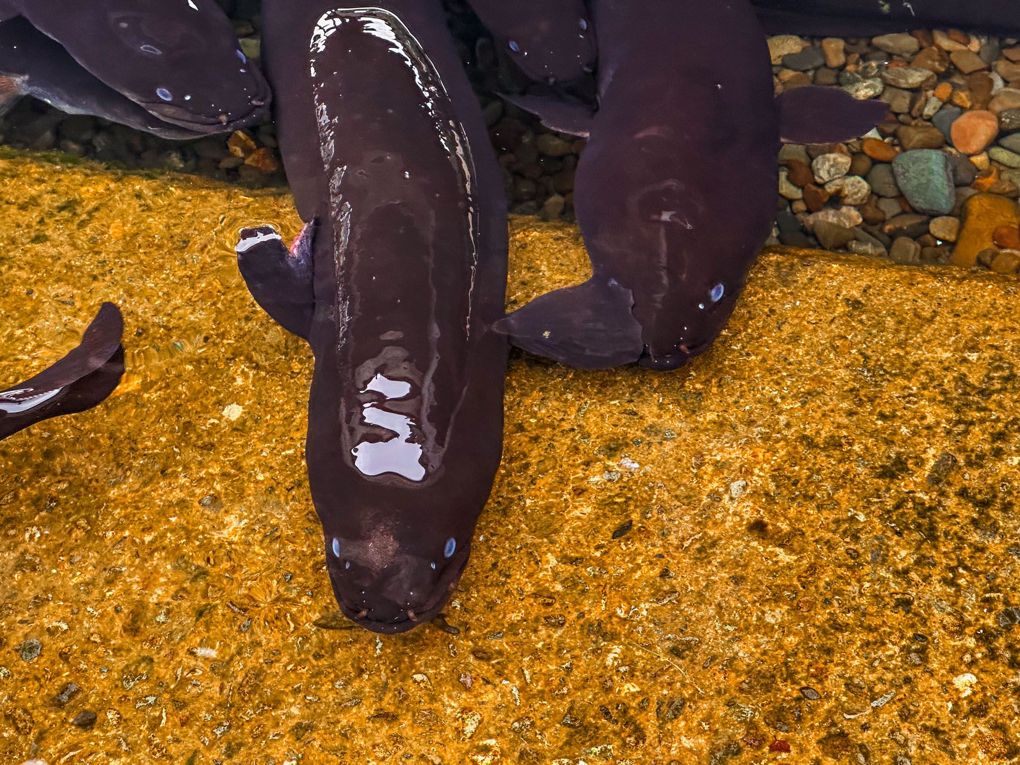
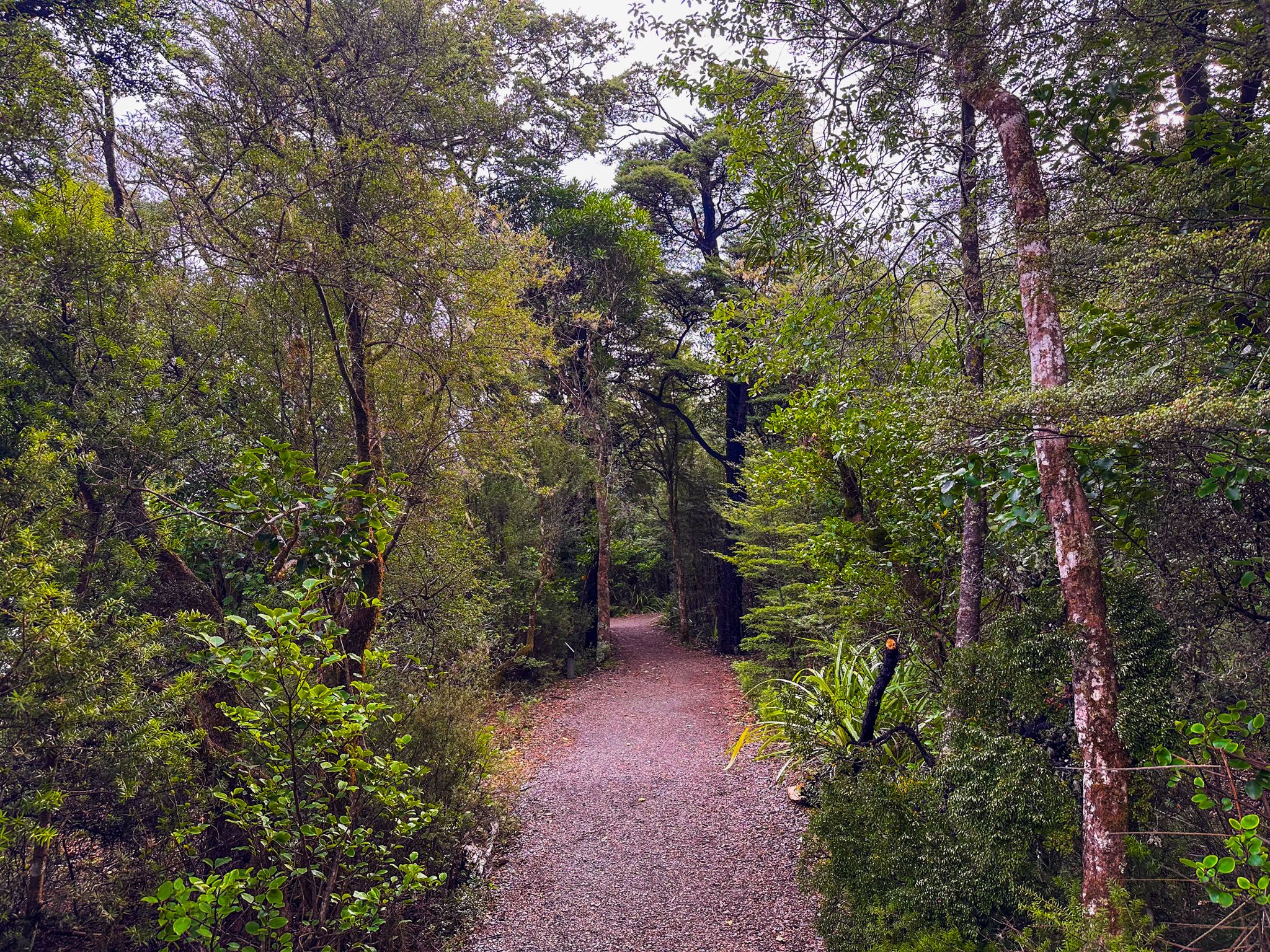
There are several easy walking tracks, with forest and lakeside trails and loops, such as the Brunner Peninsula Nature Walk and the Honeydew Walk. Stick to the area around Kerr Bay for the best beech forest experience. while West Bay is dominated by younger mānuka and kānuka regrowth. A water taxi service is available to take hikers to hiking trailheads at the south end of the lake. There are jetties in both bays, and a family of large eels are ever present at the one in Kerr Bay. They are perfectly safe, so don’t be put off swimming or jumping from the jetty.
The Māori translation of Rotoiti means "little lake." John Sylvanus Cotterell was the first European to sight the lake in 1842 as part of a project to survey the region on behalf of the New Zealand Company, following European settlement at Nelson. Unfortunately, he, along with other European settlers, was killed by Māori at the Wairau Affray in 1943.
Rotoiti was named Lake Arthur by Thomas Brunner and Charles Heaphy in November 1843, after Captain Arthur Wakefield, who was also killed at the Wairau Affray. However, the Māori name remained in widespread usage and is the official name. For a while, the lake, along with Pourangahau / Mount Robert, was part of Lake Station, which was just one part of the massive landholdings of the Scottish immigrant John Kerr. He also introduced trout to the lake.
Kerr Bay on Lake Rotoiti is accessible via Kerr Bay Road from State Highway 63, and West Bay is accessible via Mount Robert Road, a short distance northwest on State Highway 63.
