Exploring the Kauri Coast
The Kauri Coast is a scenic stretch along State Highway 12, part of the Twin Coast Discovery Highway, located on the east side of Northland, New Zealand. This route extends from Brynderwyn to Hokianga Harbour and is renowned for its ancient kauri trees in Waipoua Forest and Trounson Kauri Park, stunning beaches along the Tasman Sea, and a rich historical backdrop. While the drive can be completed in about 2.5 hours, taking several days allows for a more immersive experience.
The Legacy of Kauri Trees
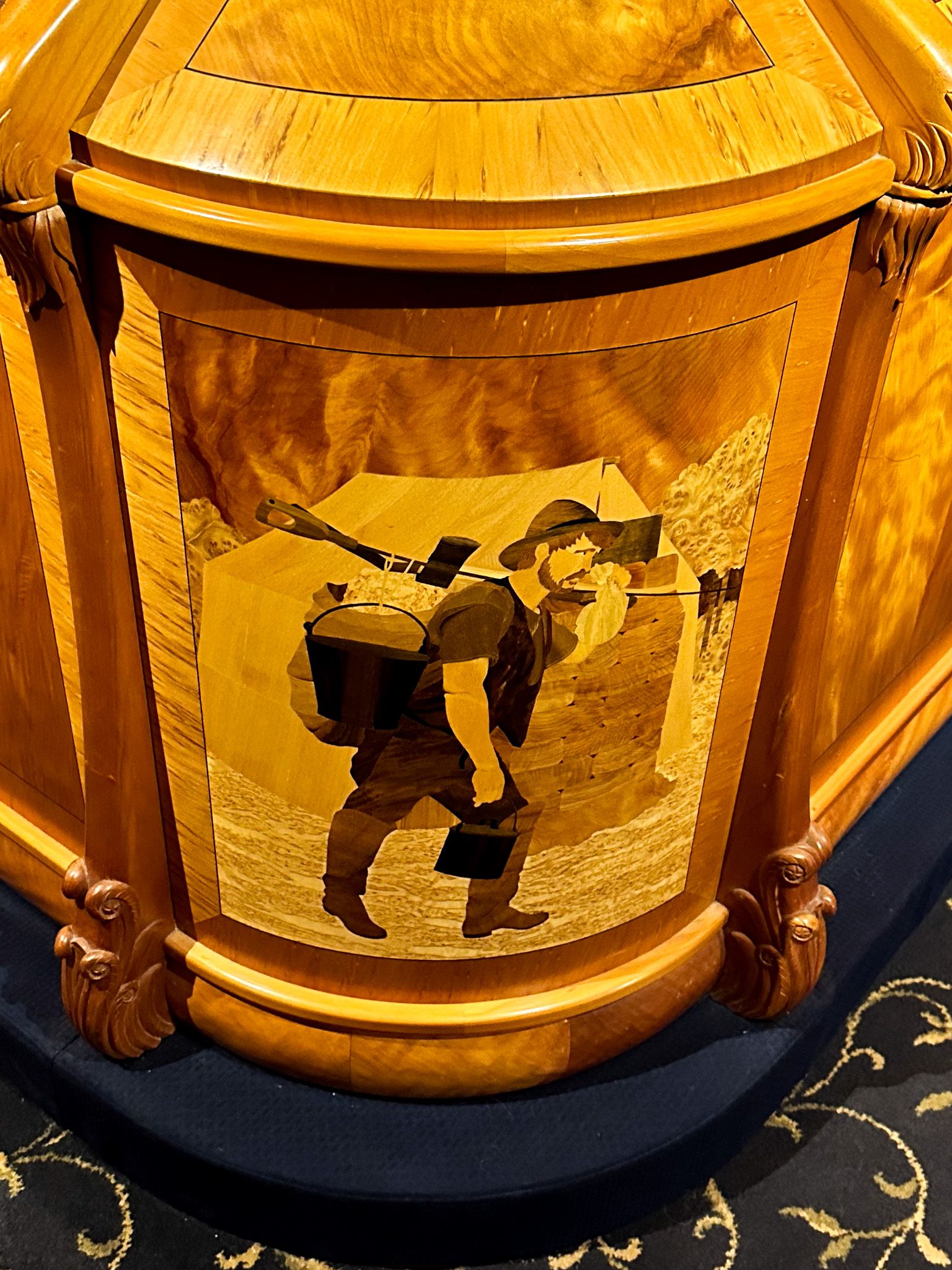
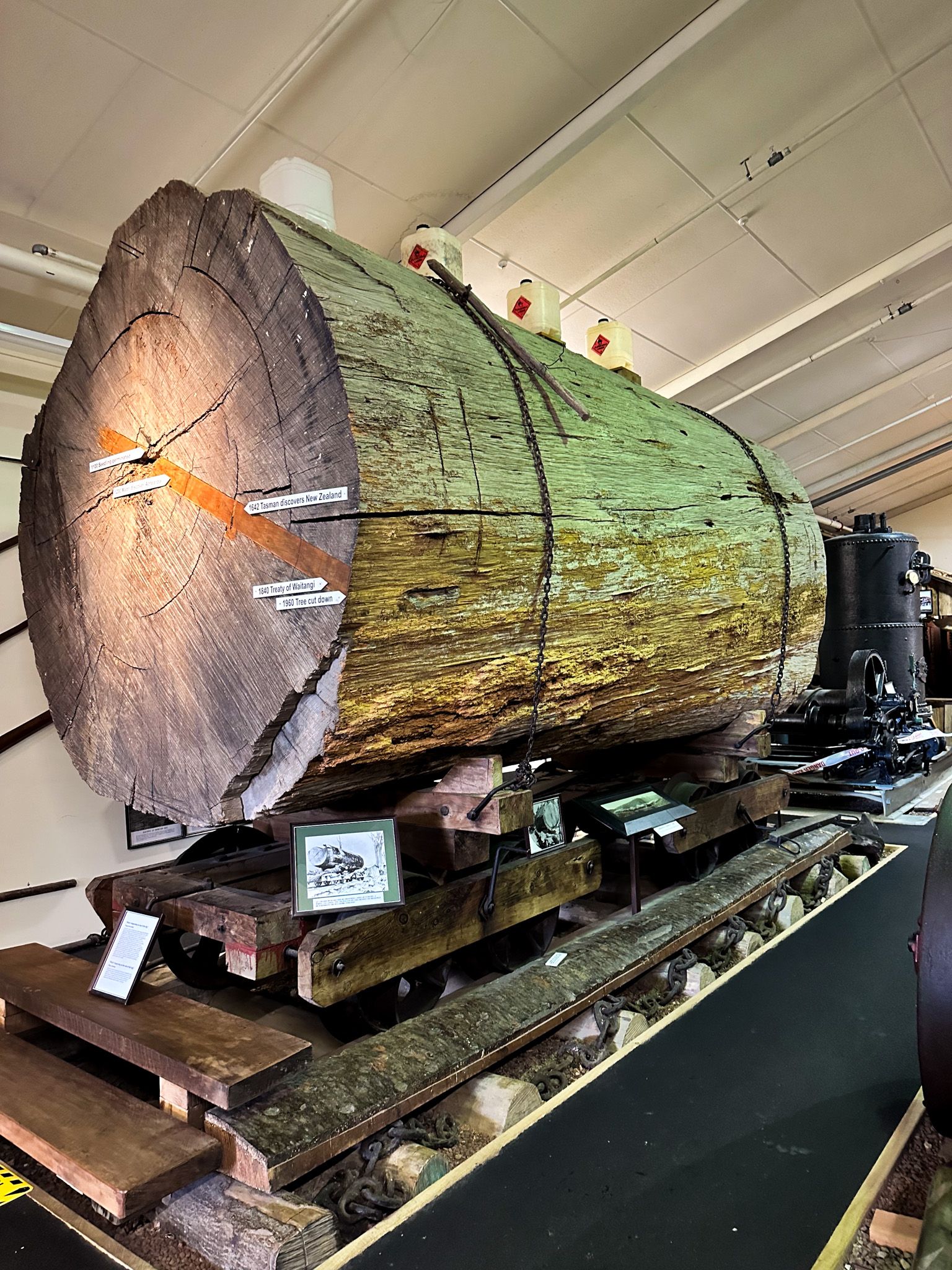
The Kauri Coast derives its name from the massive kauri trees that still thrive in the region. These trees are remnants of the vast kauri forests that once covered Northland before European settlers arrived. To understand the transformation of these forests into farmland, a visit to the Kauri Museum in Matakohe is recommended. This museum offers insights into the impact of pioneering settlers. For those with extra time, short detours to the nearby Kauri Bushmans Reserve and Piroa Falls are worthwhile.
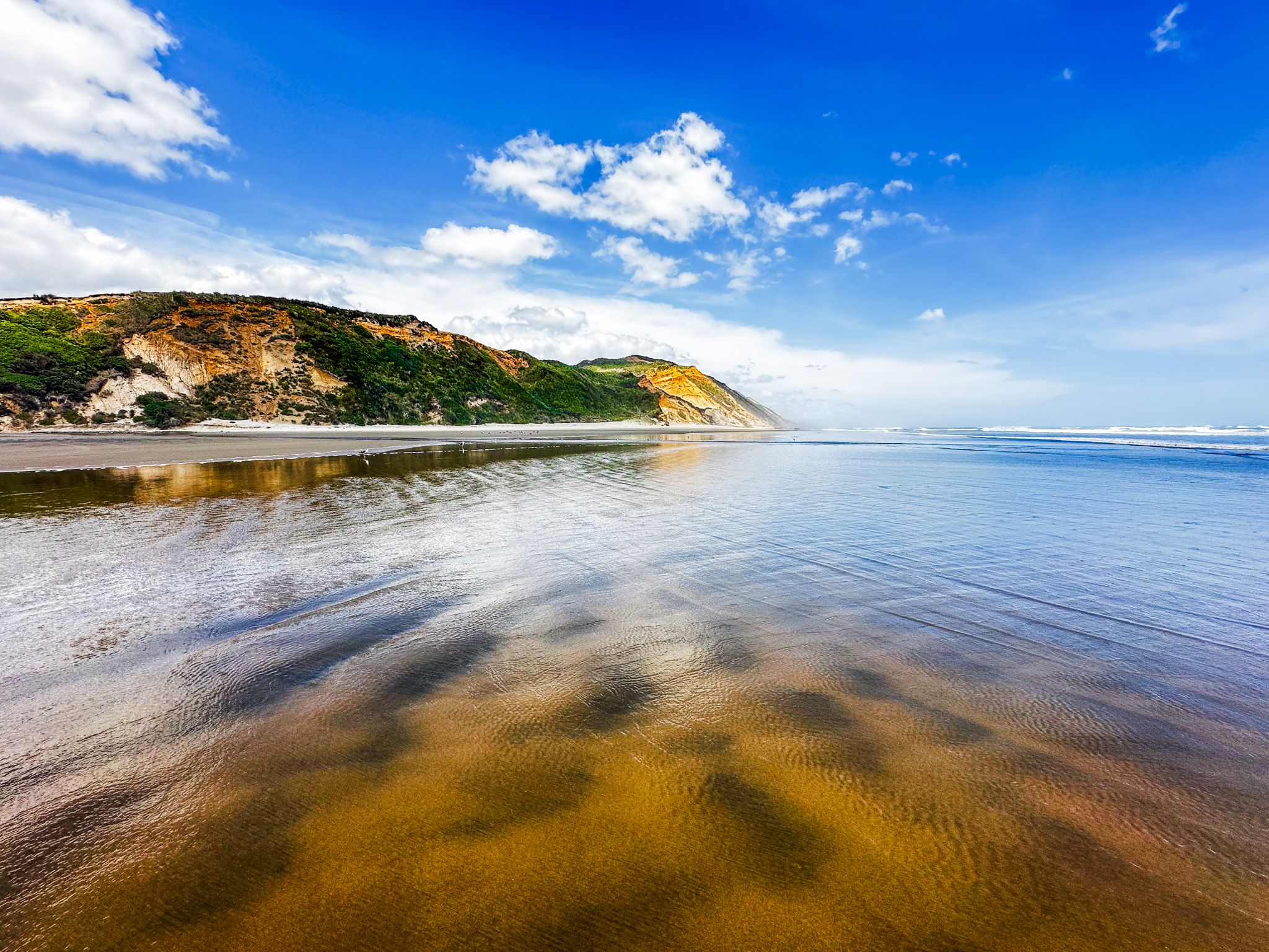
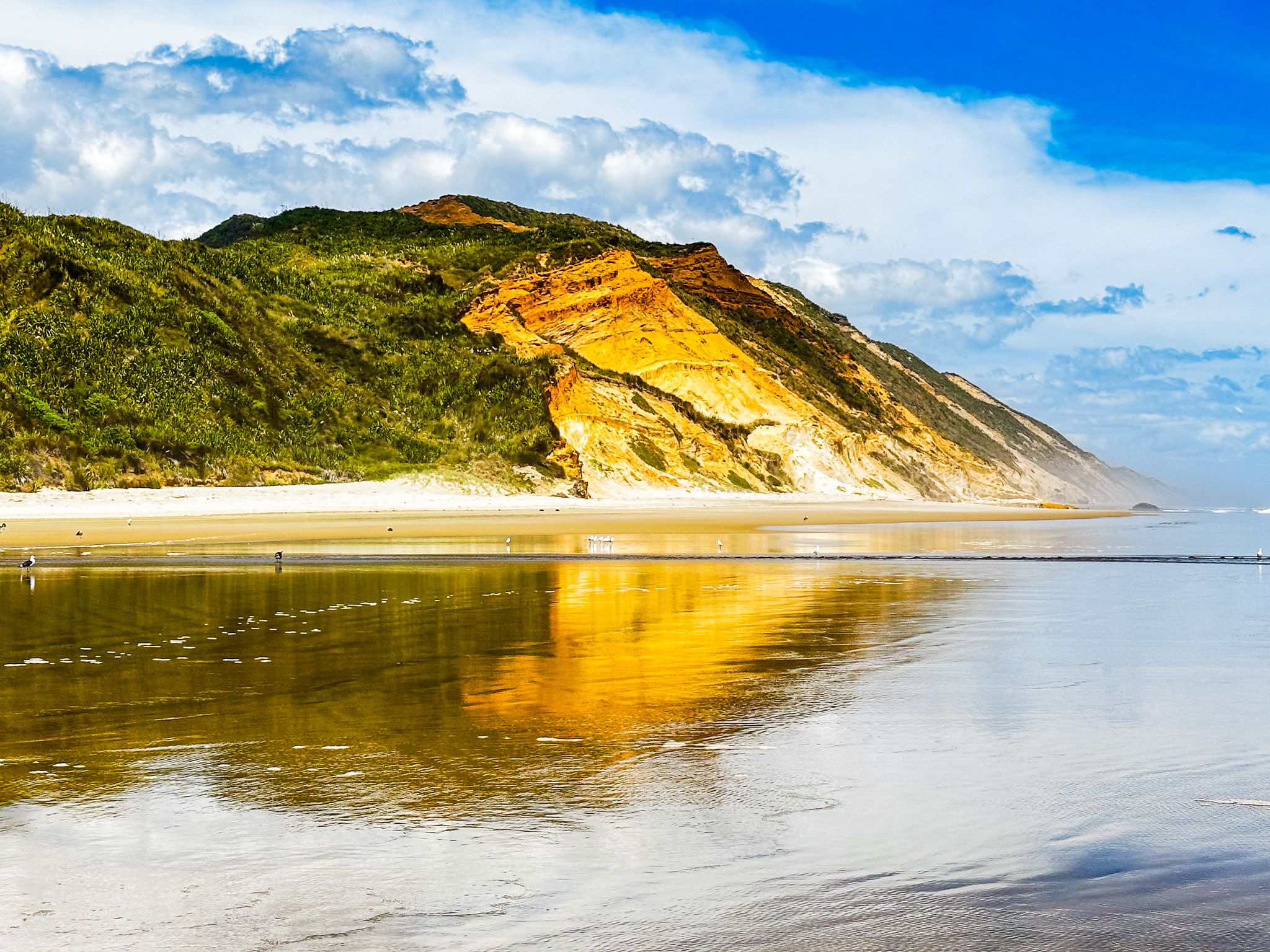
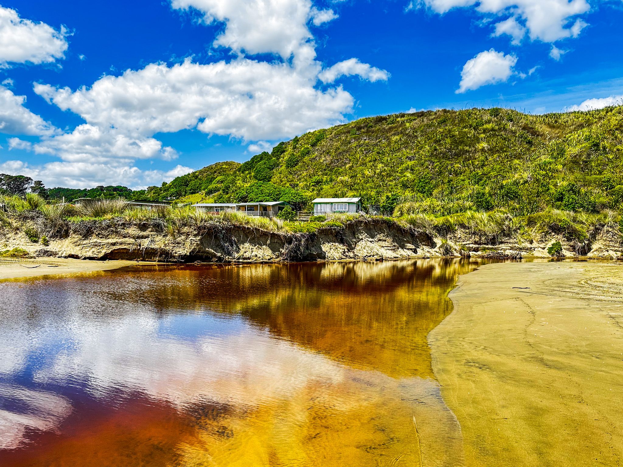
Dargaville and Ripiro Beach
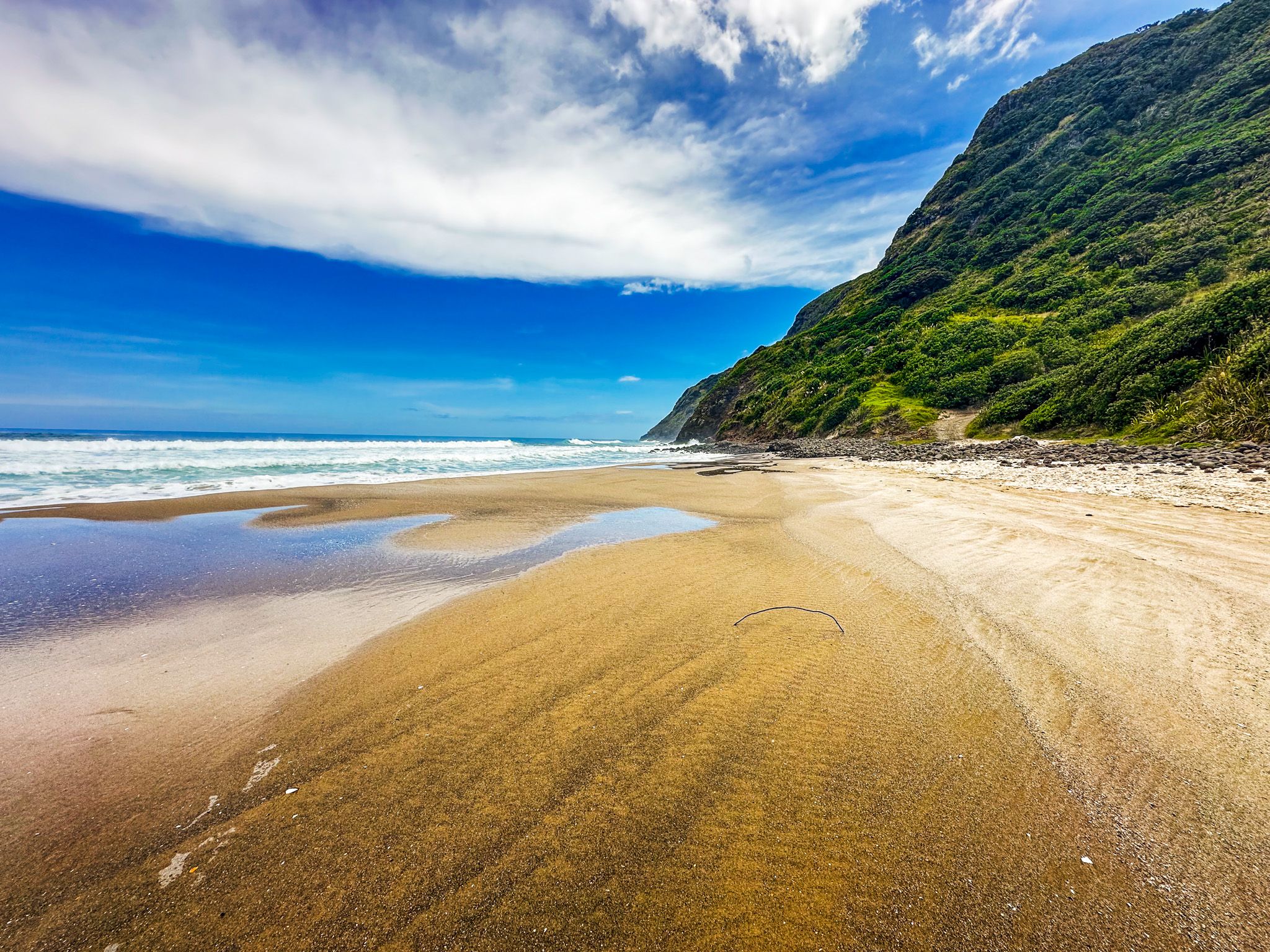
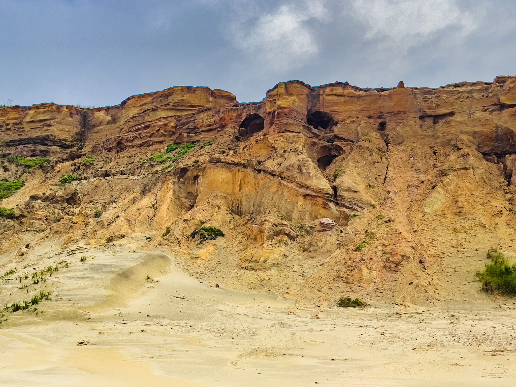
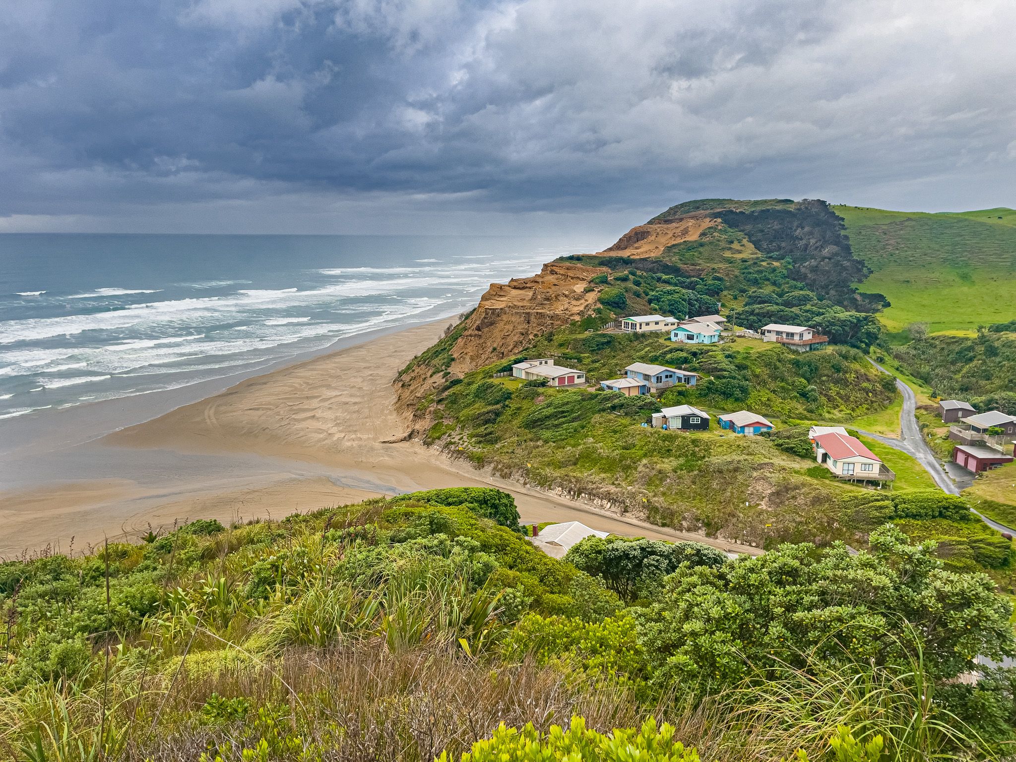
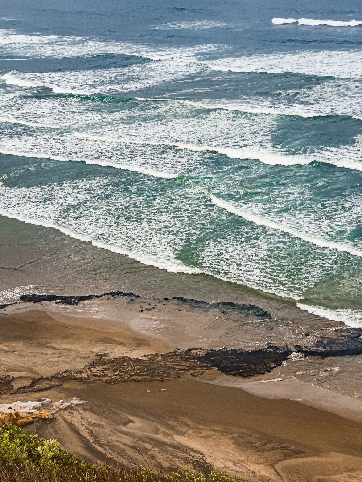
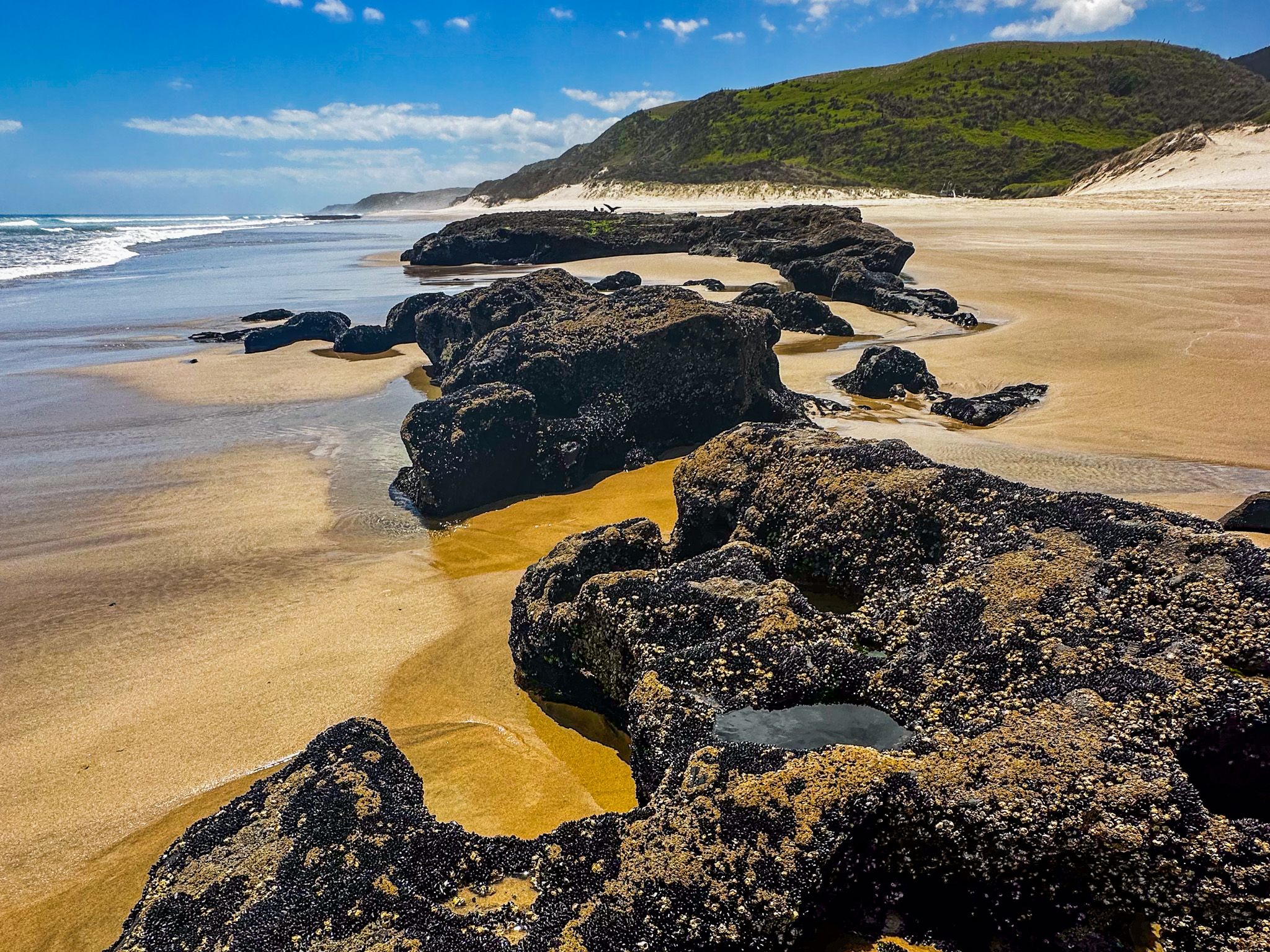
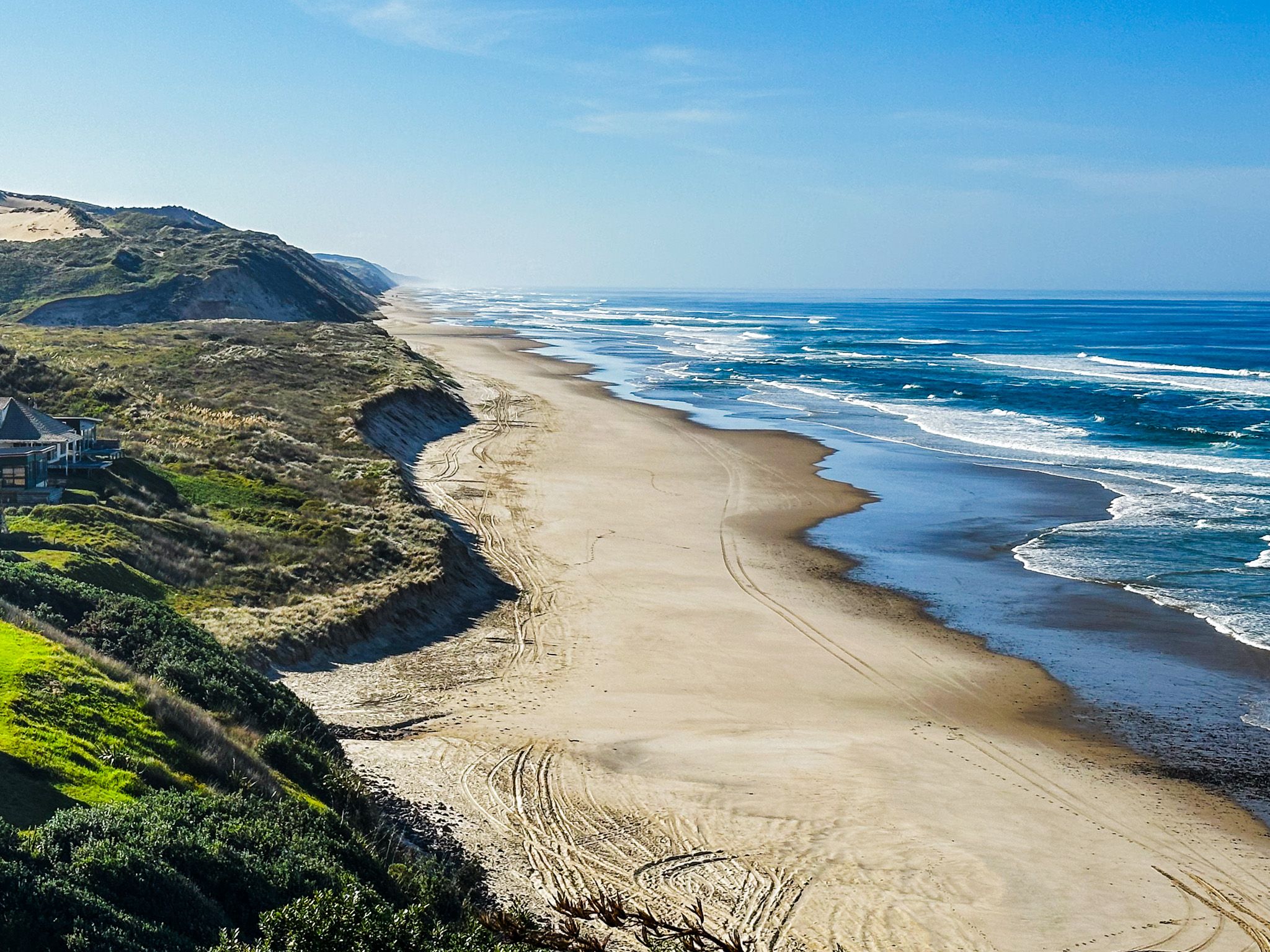
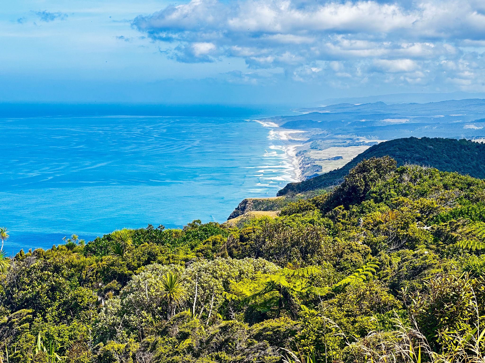
Dargaville serves as the main town along the route, offering various dining and accommodation options. A short drive from Dargaville leads to Baylys Beach, part of the extraordinary Ripiro Beach, which stretches 107 km, making it New Zealand's longest beach. Visitors can drive on the beach to Aranga Beach at the north end, within four hours on either side of low tide. Access to Ripiro Beach is also available at Glinks Gully, south of Baylys Beach, Omamari, and Aranga Beach, with camping options at these locations. At Aranga, a half-day walk to the top of Maunganui Bluff offers one of New Zealand's best coastal views.
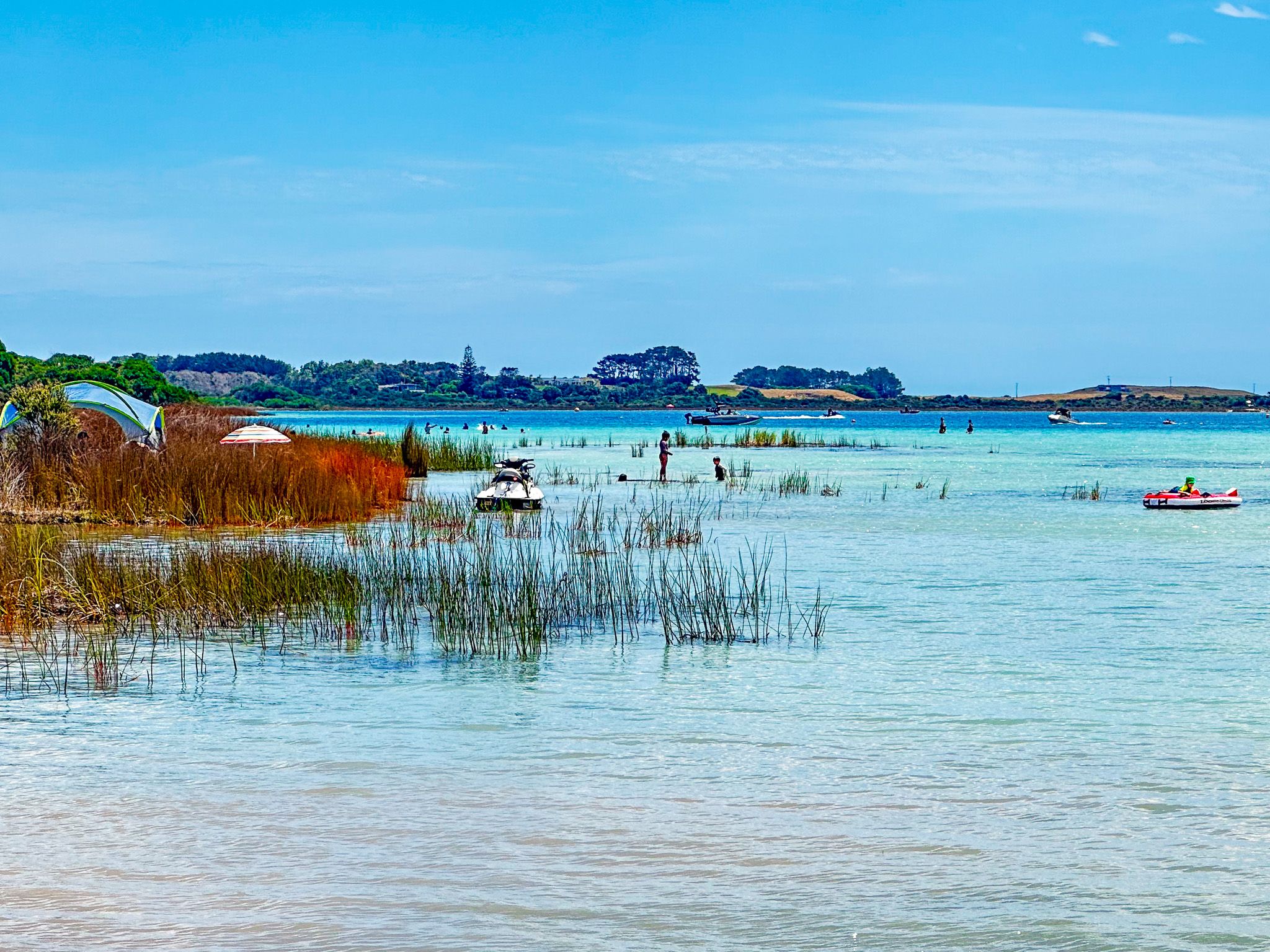
Kai Iwi Lakes and Trounson Kauri Park
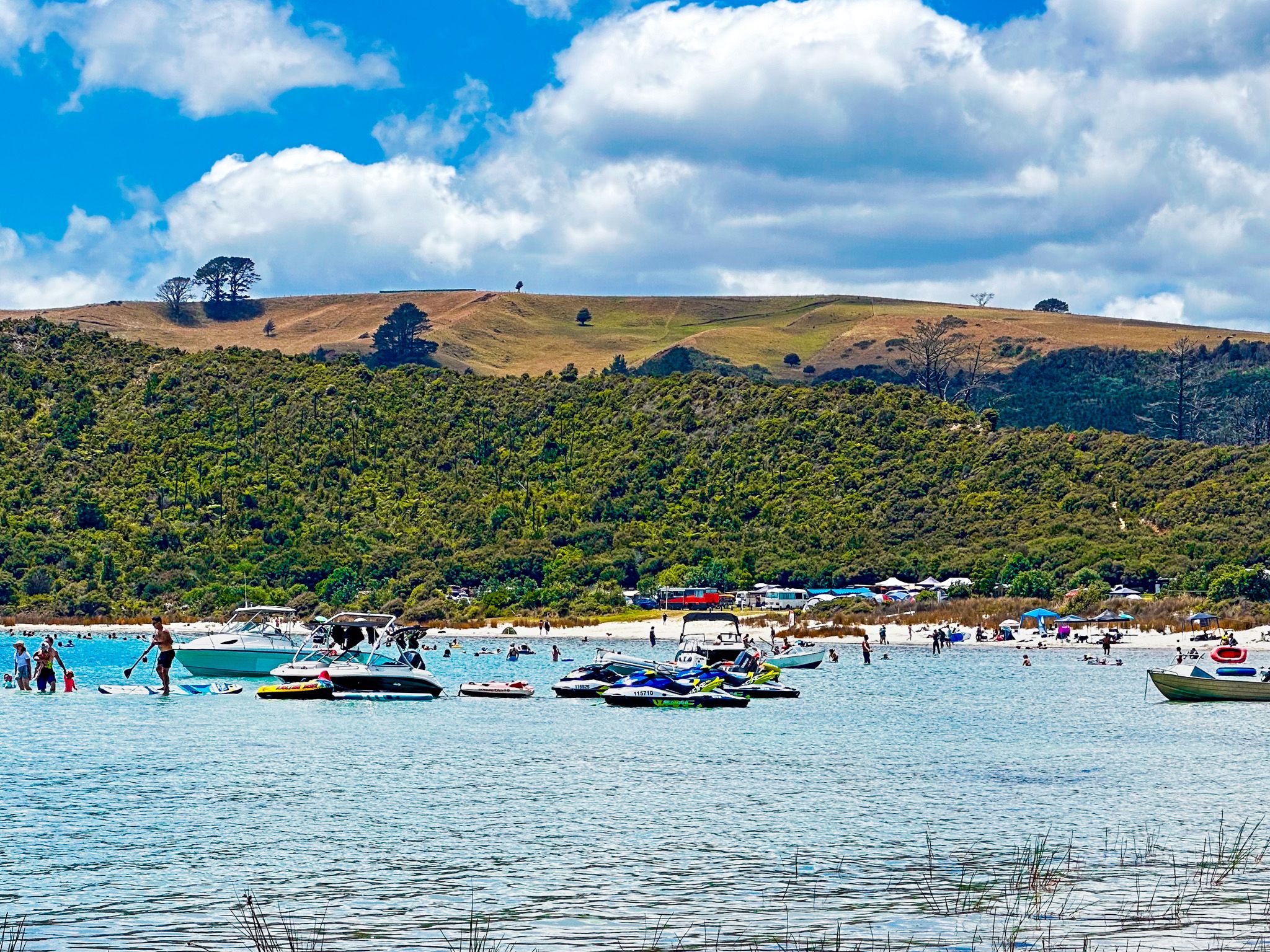
Continuing north on State Highway 12 from Dargaville, visitors will find Kai Iwi Lakes near Omamari. These picturesque dune lakes provide opportunities for water activities and walking, with two commercial campgrounds available. After visiting Kai Iwi Lakes and before reaching the turnoff to Aranga Beach, a side road leads to Trounson Kauri Park. This park features a superb short loop walk among ancient trees and an adjacent DOC campsite. At night, there is a chance to spot kiwi birds.
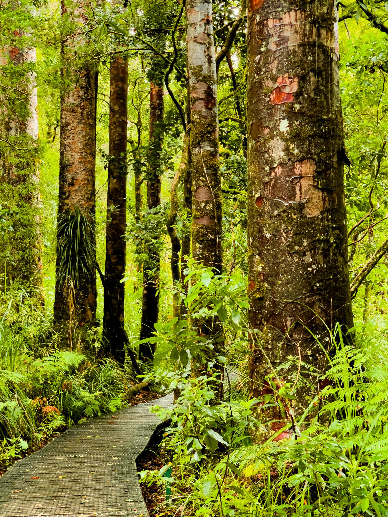
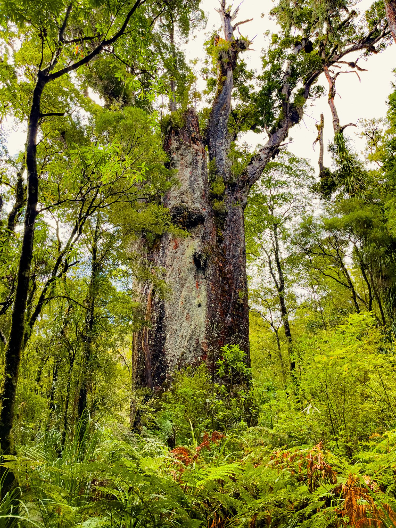
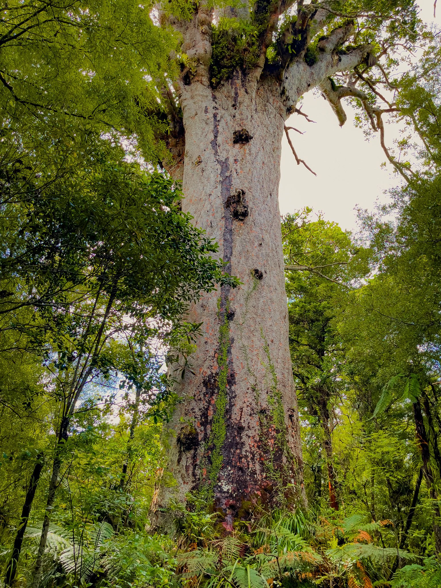
Waipoua Forest and Iconic Trees
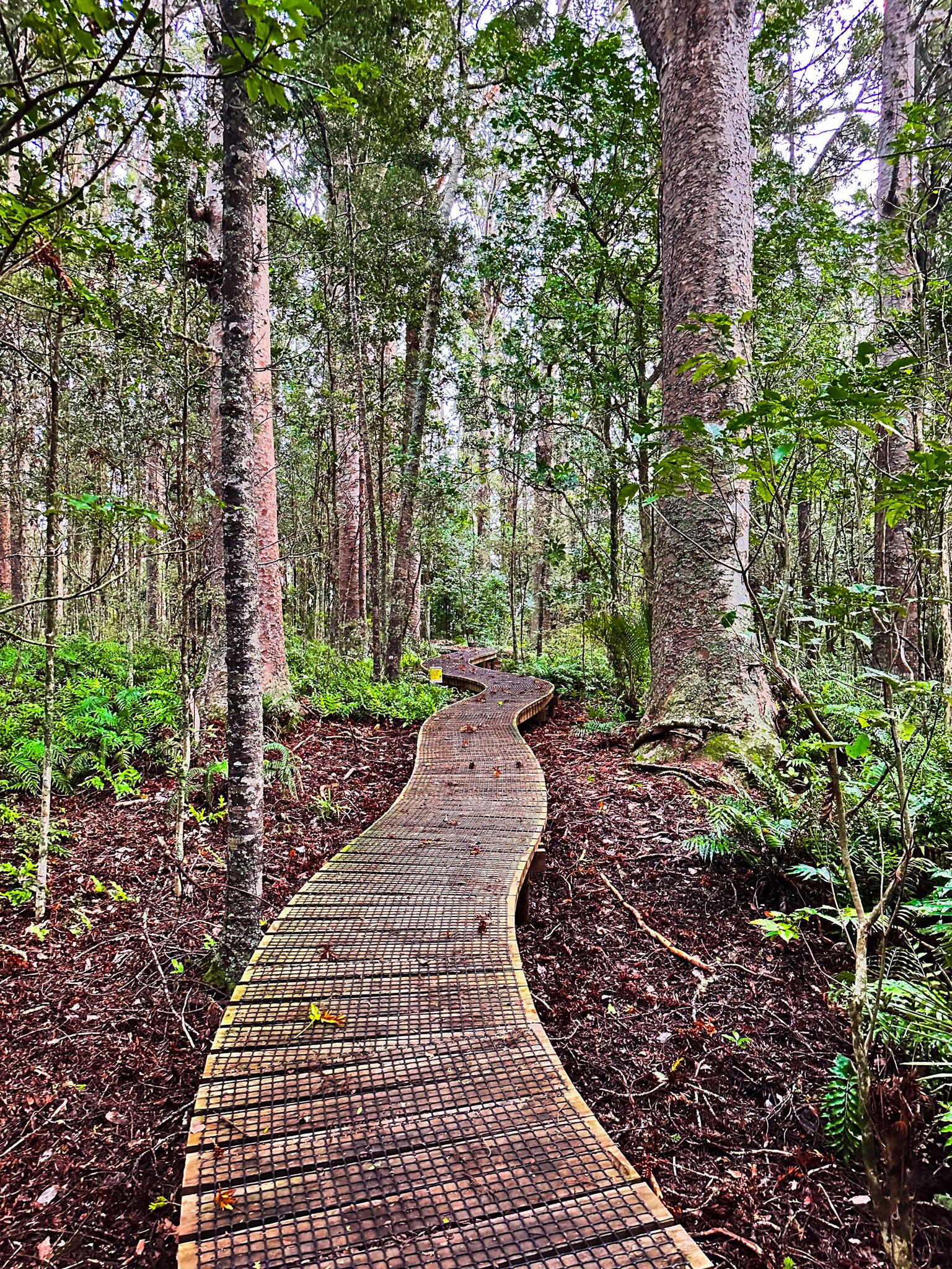
Returning to State Highway 12, the journey continues into Waipoua Forest, where the landscape becomes increasingly dramatic with giant ancient trees lining the twisting road. Visitors can stop for a short walk to see Te Matua Ngahere, a spectacular 2,000-year-old tree, and Tane Mahuta, New Zealand's most famous tree. A campsite is available on Waipoua River Road for those wishing to stay overnight.

Hokianga Harbour and Nearby Attractions
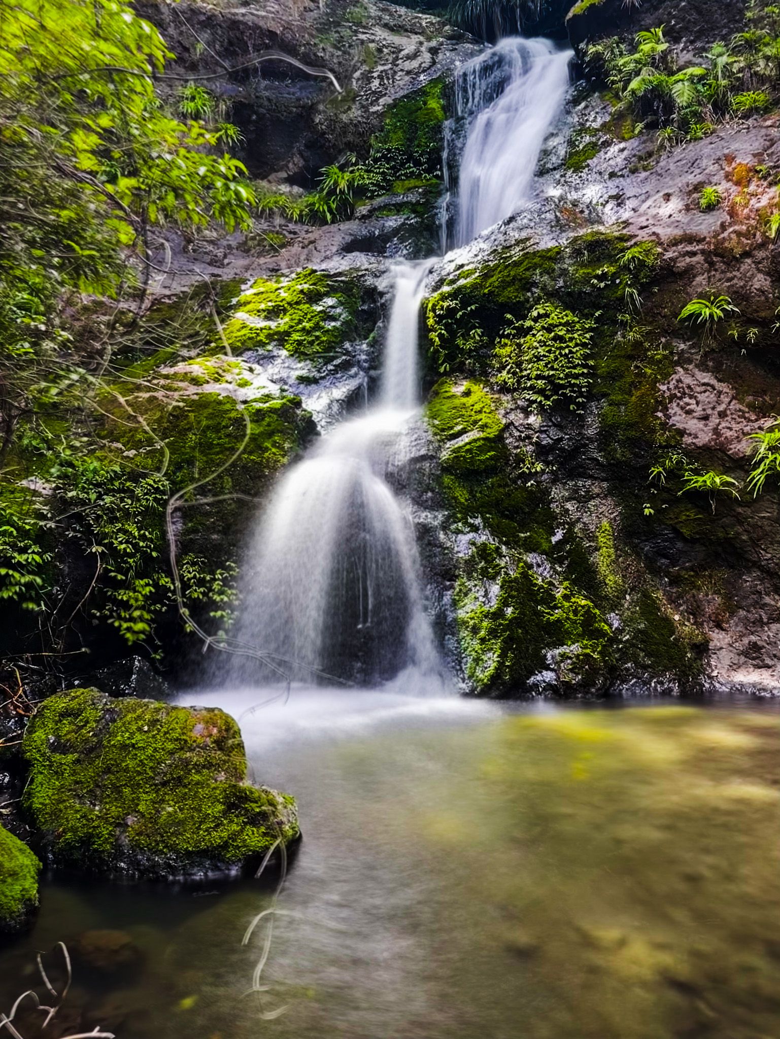
After exiting Waipoua Forest, the drive to Hokianga Harbour is brief. However, travellers might consider side trips to Waiotemarama Waterfall and Waimamaku Beach (Kaikai Beach) for additional exploration.
How to Get There
To reach the Kauri Coast, begin your journey on State Highway 12, which is part of the Twin Coast Discovery Highway. This scenic route runs from Brynderwyn to Hokianga Harbour, offering numerous opportunities to explore the natural beauty and historical sites of Northland.