Forest and Cascade Walk along the Pelorus River
Elvy Waterfalls Track is an attractive forest and riverside track, with two waterfalls in the Pelorus Bridge Scenic Reserve, midway between Blenheim and Nelson on State Highway 6. It leads you through the rainforest along the Pelorus / Te Hoiere River and then follows two side streams a short distance to reveal attractive waterfalls. The track is also part of a loop with the Trig K Track that takes you to the top of the 417 metre hill south of Pelorus Bridge.
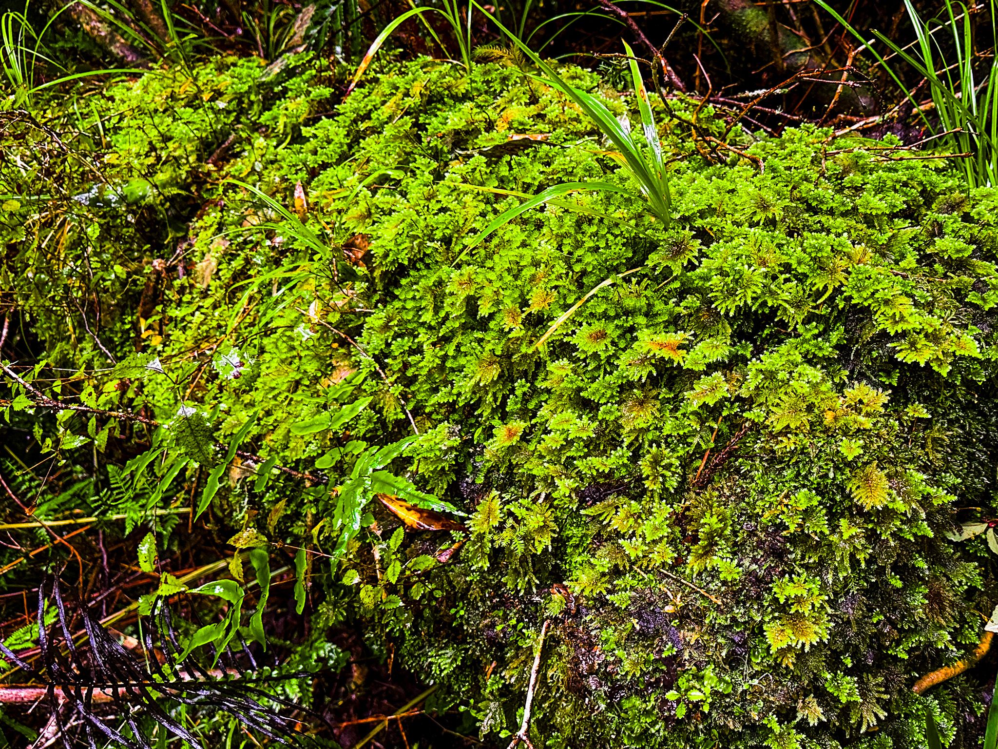
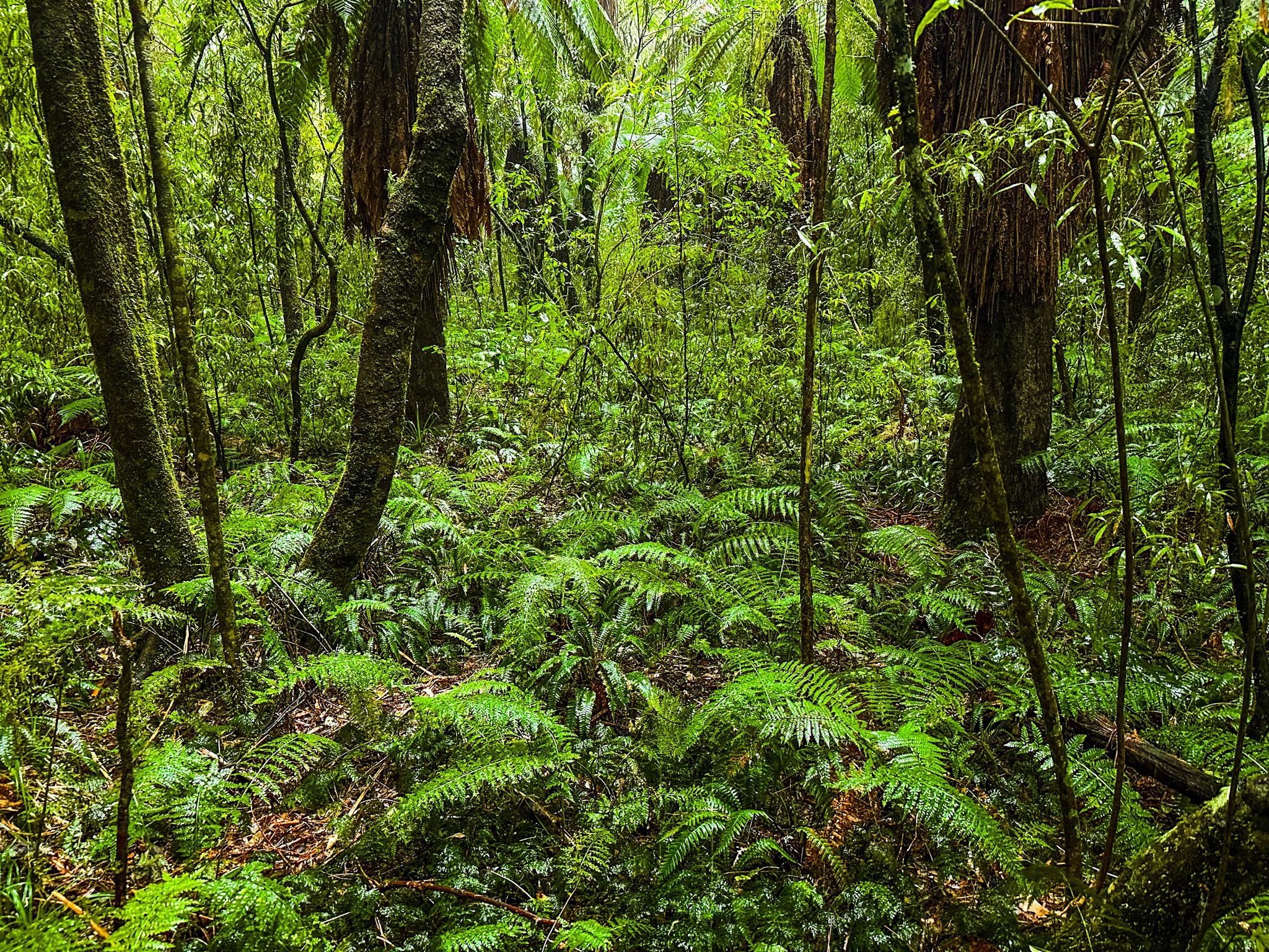
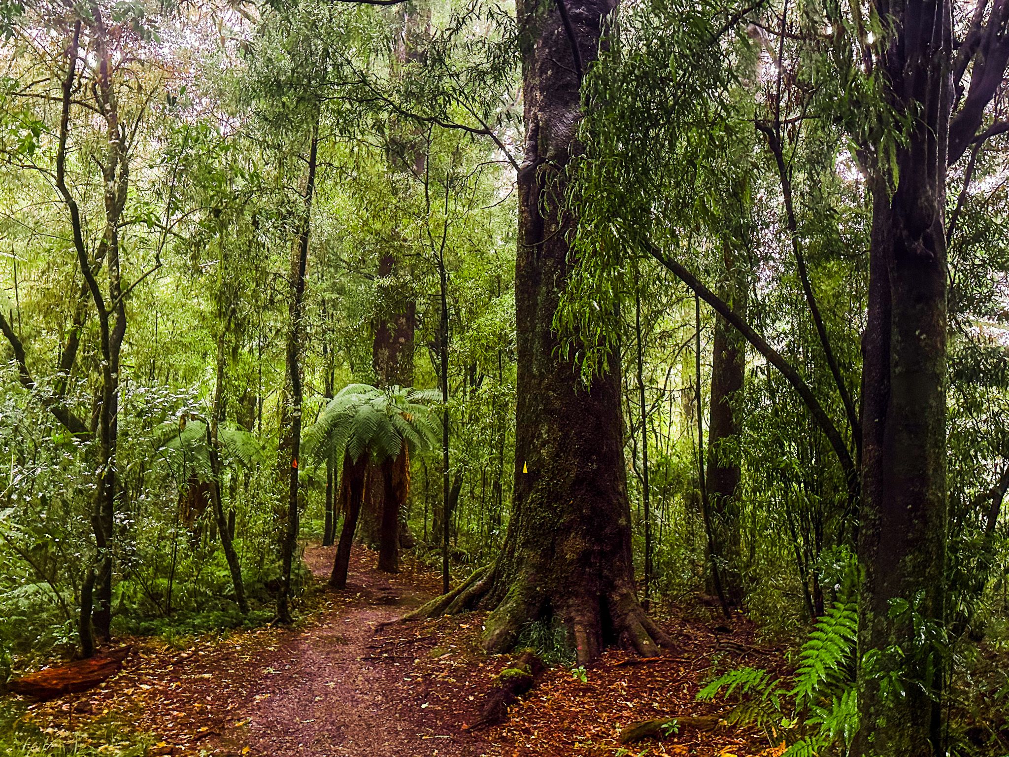
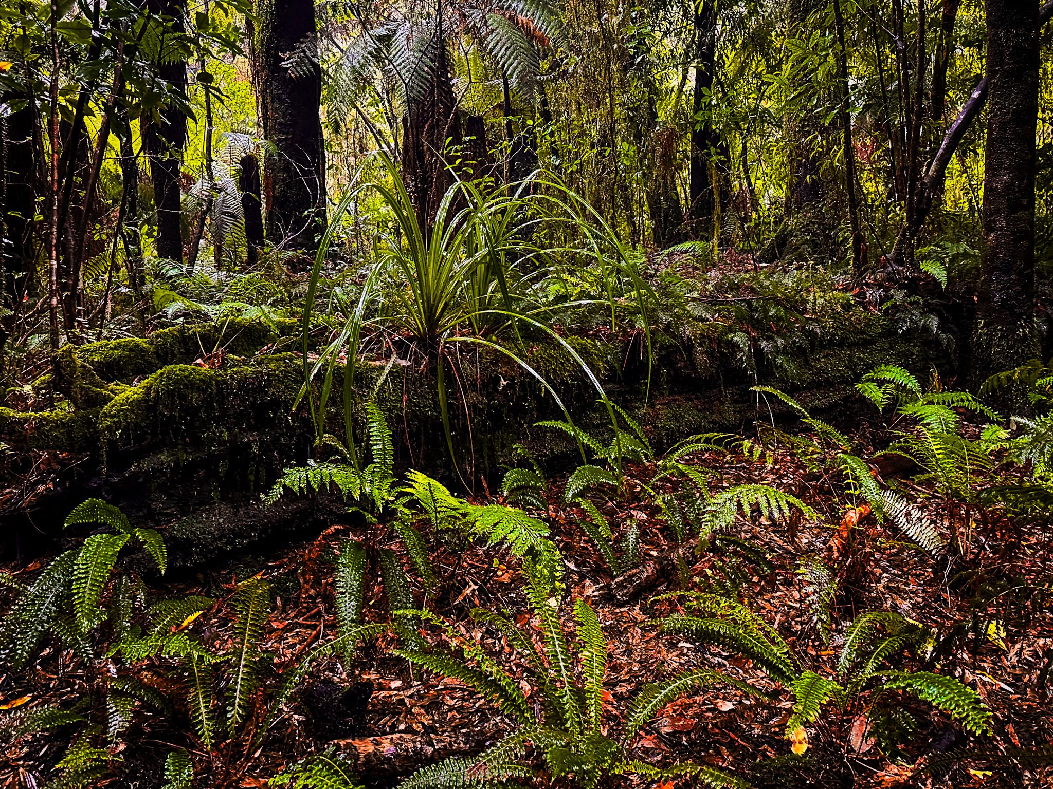
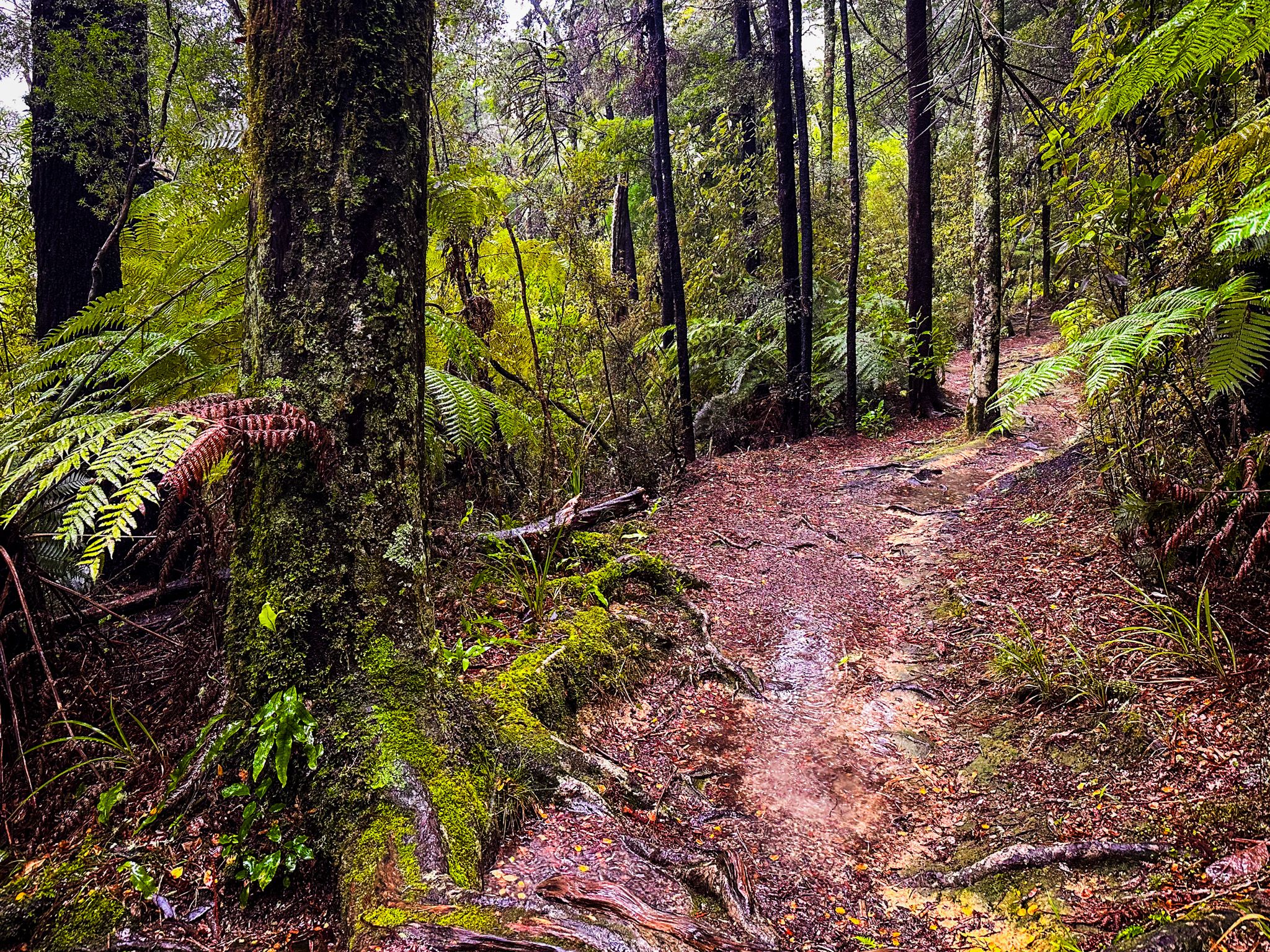
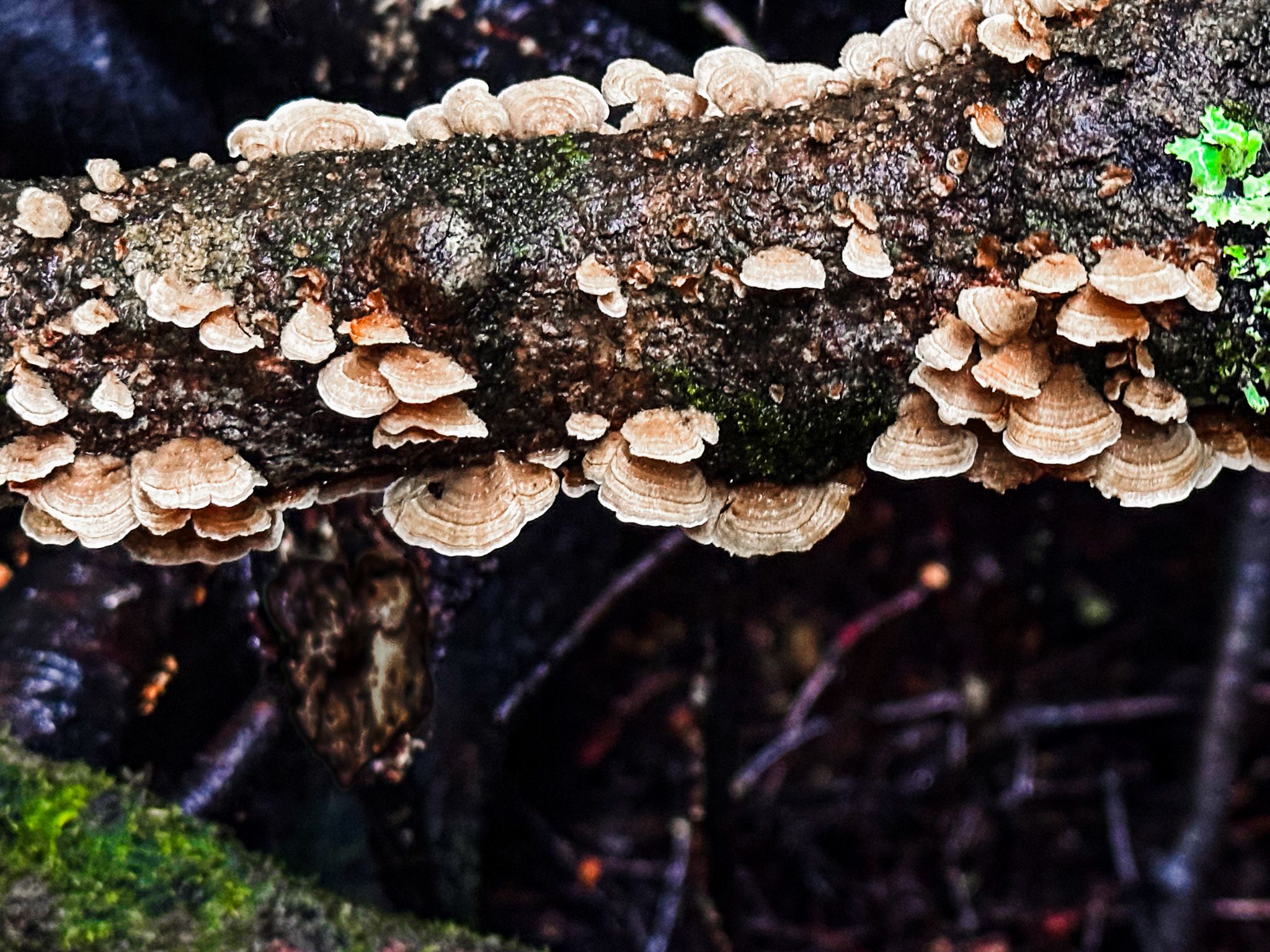
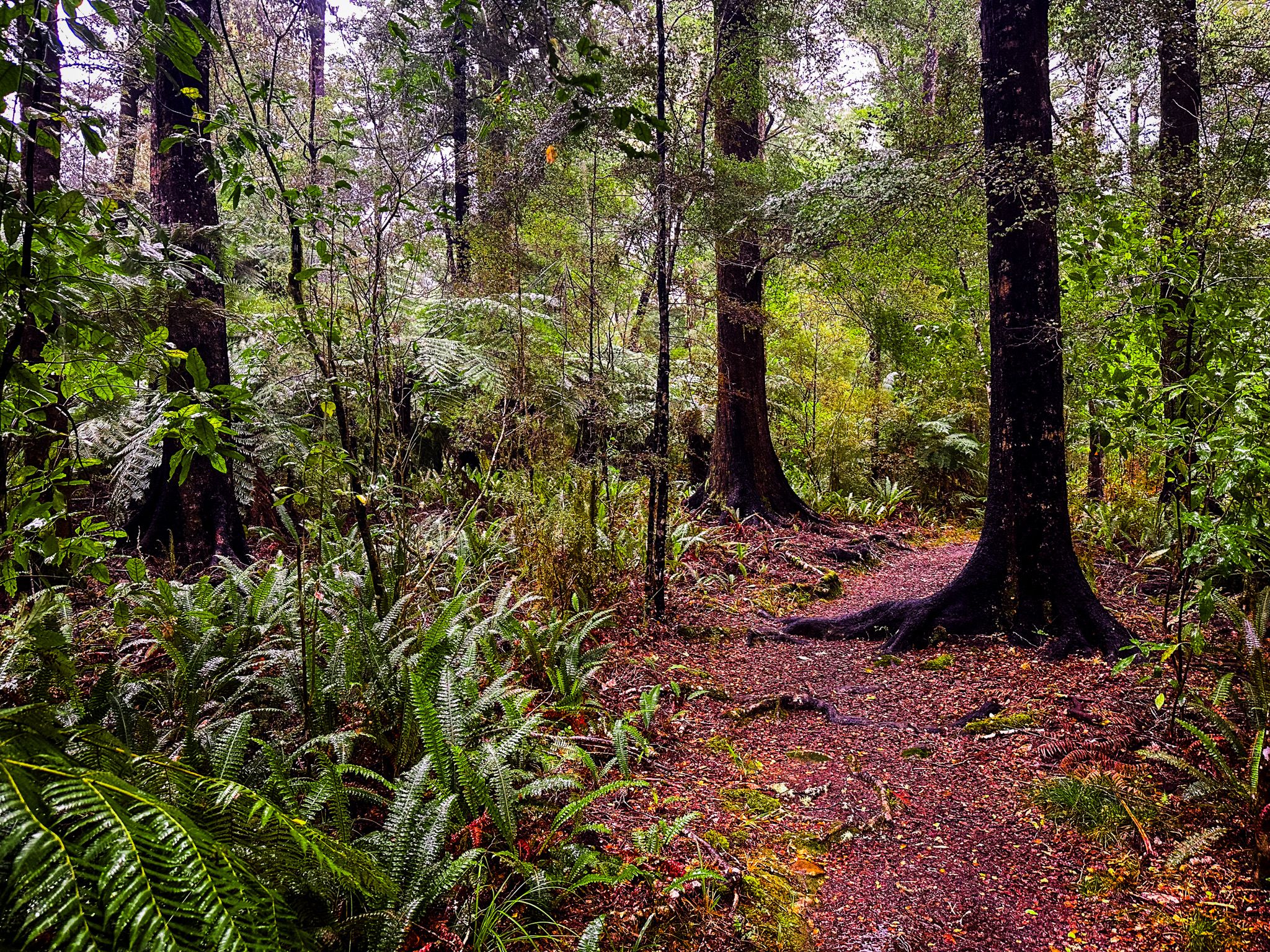
The Reserve protects some of the richest lowland forests in Marlborough. The canopy early on the track includes tall podocarps and broadleaf trees, while the stream edges are lined with mosses and ferns. Native birds are often heard in the gully, with tūī, bellbird, and fantail among the regular calls.
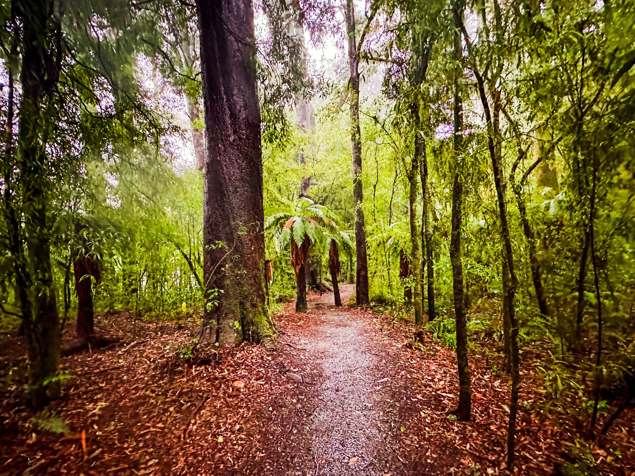
The track starts at the Pelorus Bridge car park, which has a café, toilets, and picnic facilities. Follow either the Tawa Walk, with its prominent big trees, to connect to the Elvy Falls Track, or the road to the campsite, and from there, follow the sign to the track.
Two Waterfalls and Stream Crossings
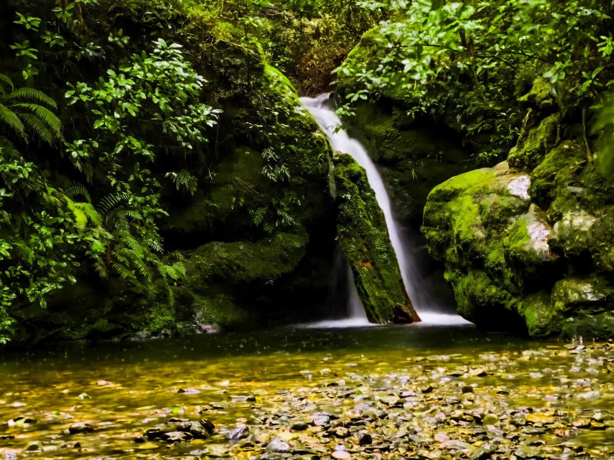
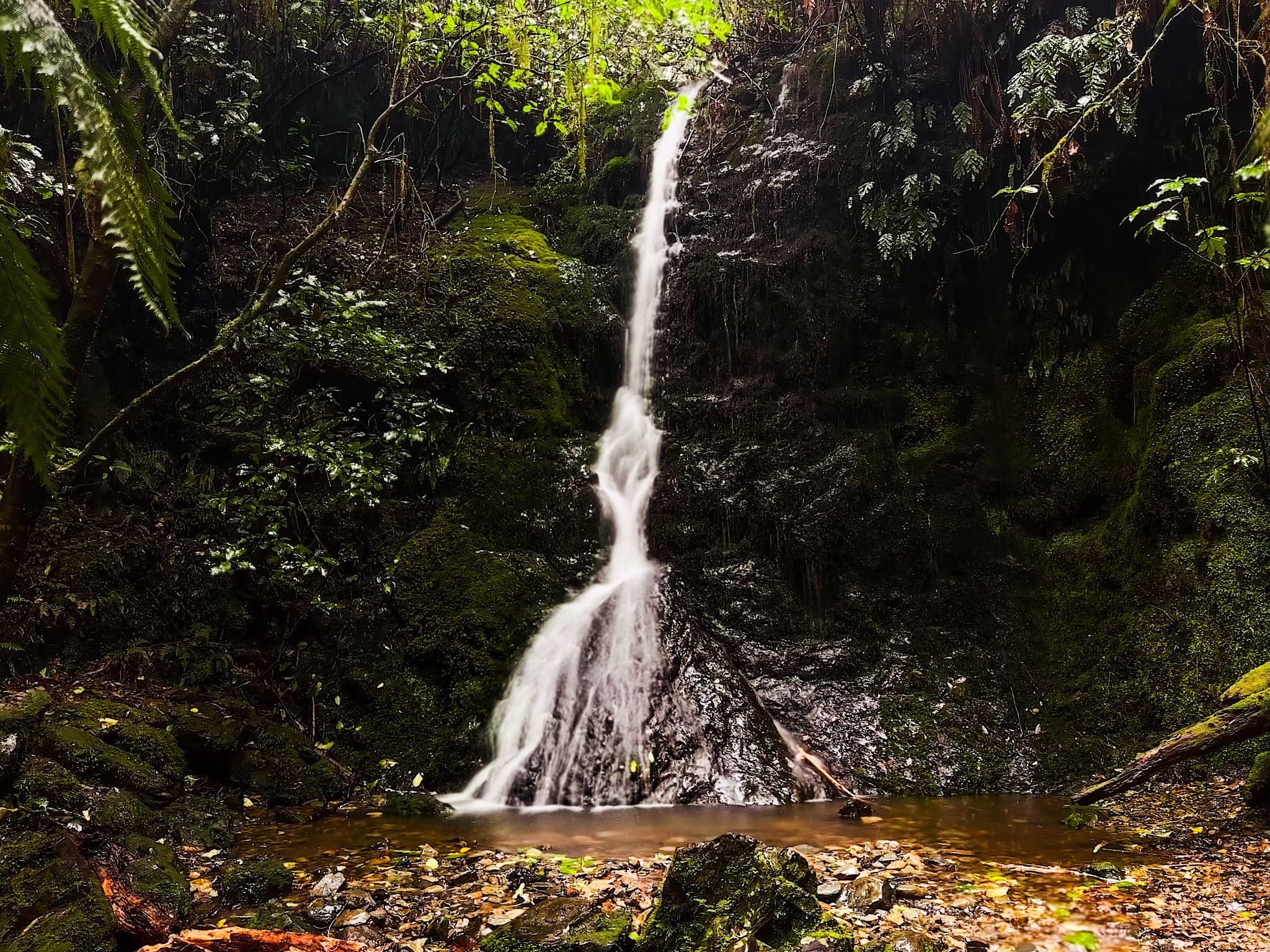
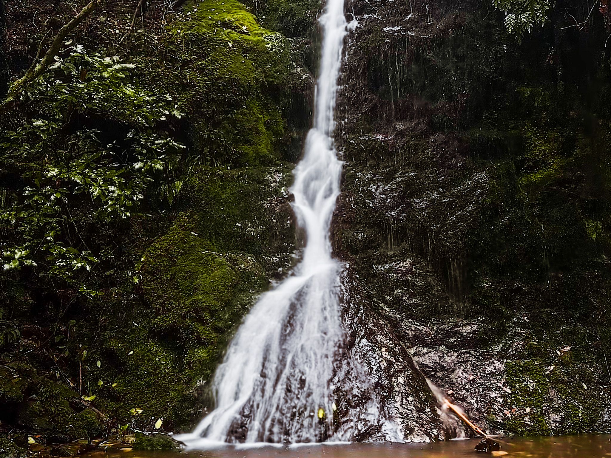
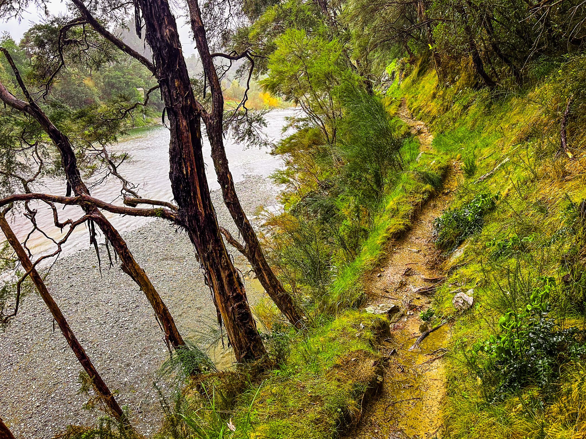
The first waterfall is the higher of the two and sits about halfway along the track, shortly after the first intersection with the Trig K Track. To reach it, you cross a small stream, which is usually straightforward even when the water is up. The second waterfall is found at the end of the track near where it meets the start of the Trig K Track. A large log partly obscures the view, but a wide pool lies at its base. Crossing the stream again allows you to approach the falls more closely. This crossing is also easy and shallow.

Track Conditions and Care Points
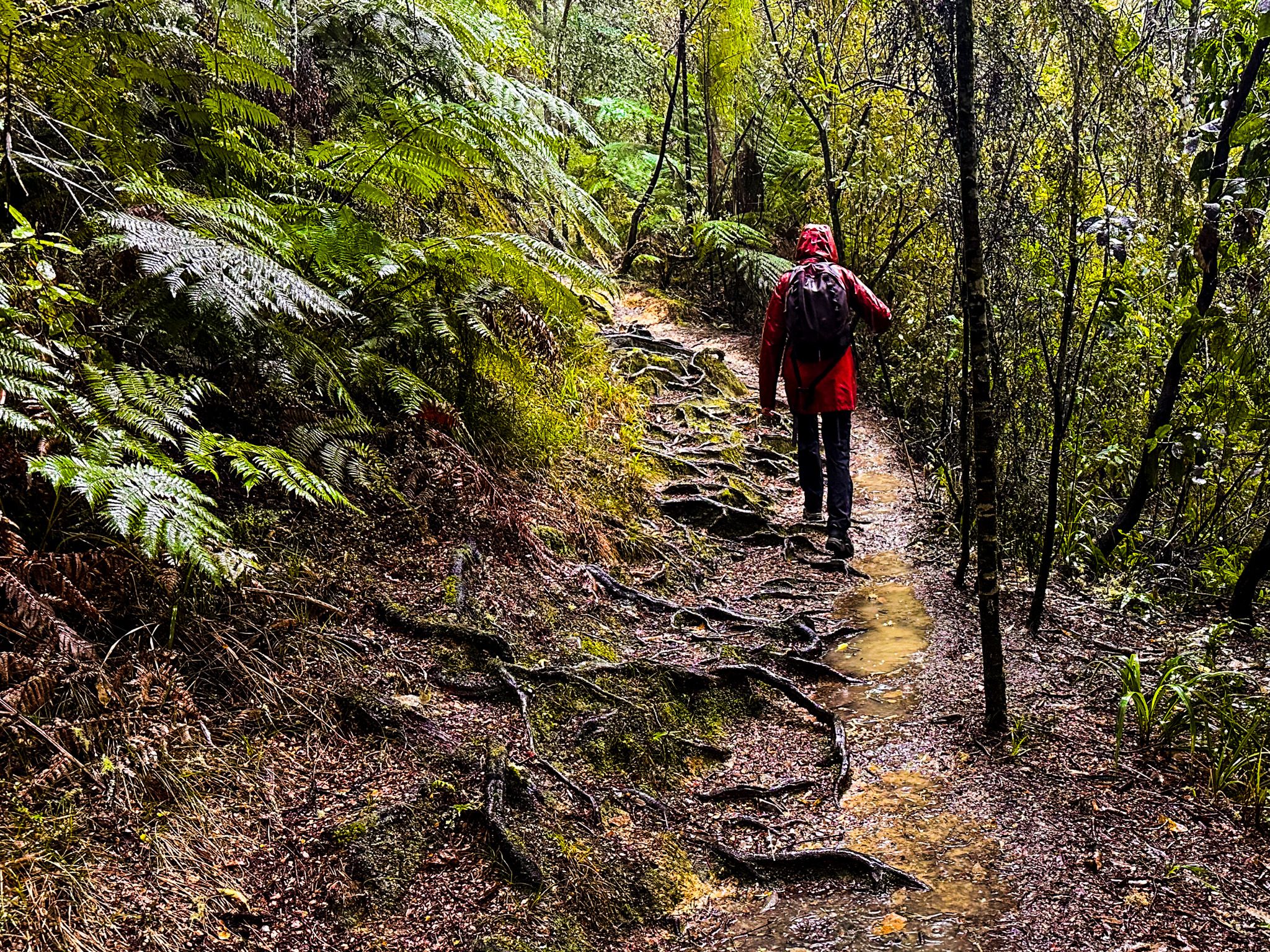
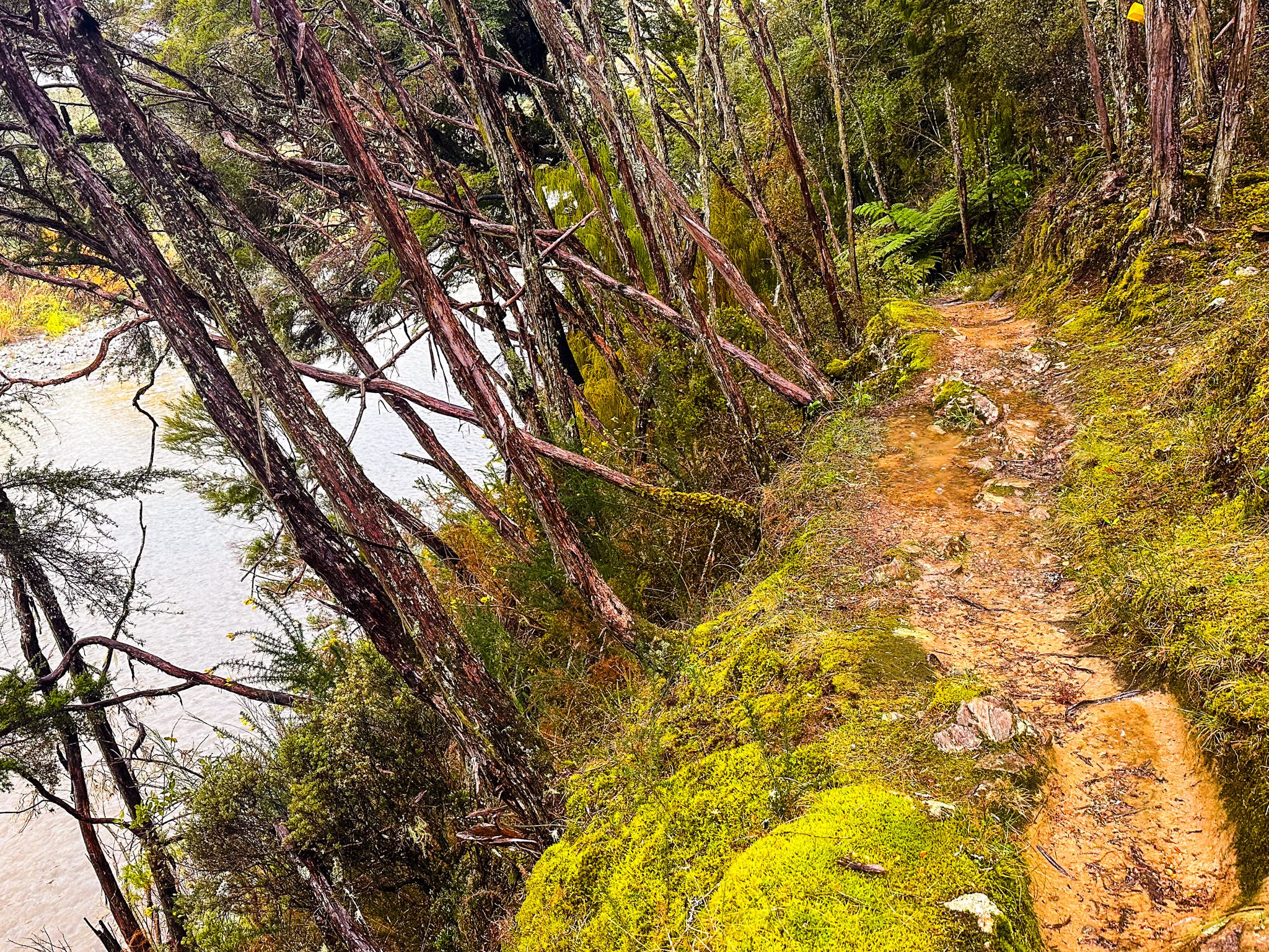
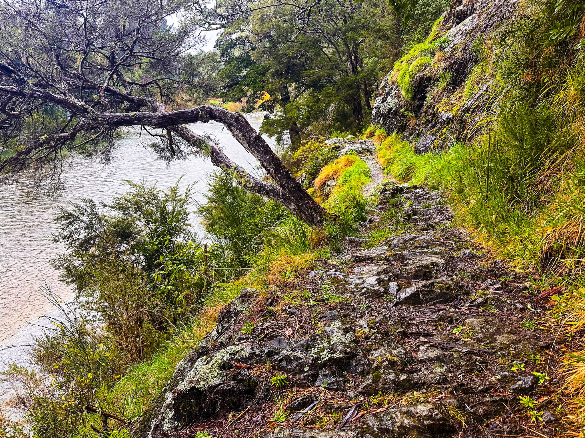
The walk takes about two hours return and is mostly straightforward, but the surface is rough in places. Between the first and second falls, the track narrows and hugs the cliff above the river, requiring extra caution. Roots, rocks, and wet ground are common underfoot. Despite this, the route is manageable for most walkers prepared for uneven terrain.
Getting There
Pelorus Bridge Scenic Reserve lies on State Highway 6, about 18 kilometres west of Havelock. From Havelock, follow SH 6 toward Nelson and look for the reserve entrance just before the bridge. Parking is beside the café and visitor facilities.
If you have more time, walk out onto the Pelorus Bridge for the view of the river and explore the river below the bridge. Other tracks include Circle Loop Track, also a section of Te Araroa, and the Tōtara Walk, all of which feature big mature trees. To the east is Canvastown and the Wakamarina Valley gold country.