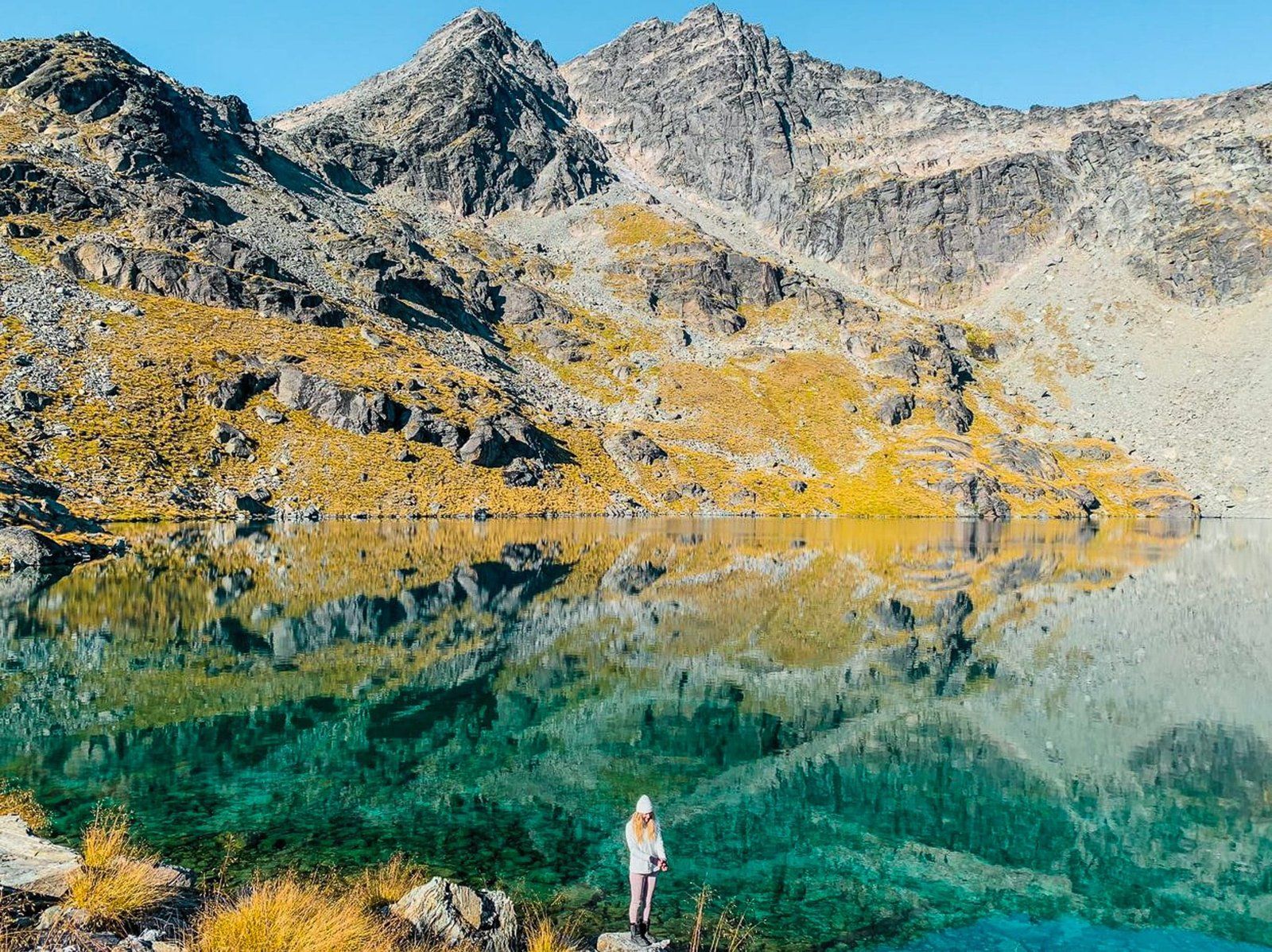
Discover Lake Alta in The Remarkables
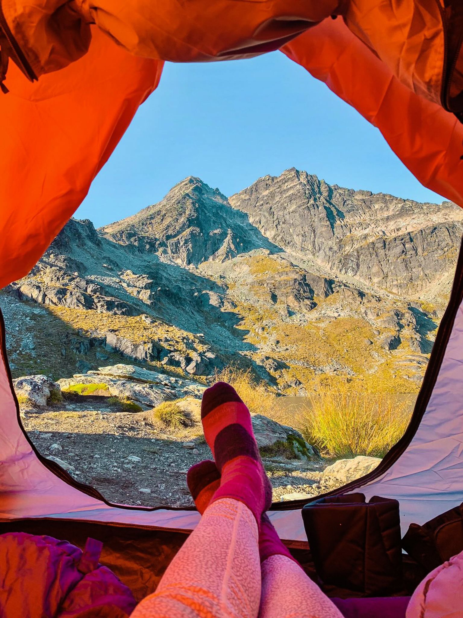
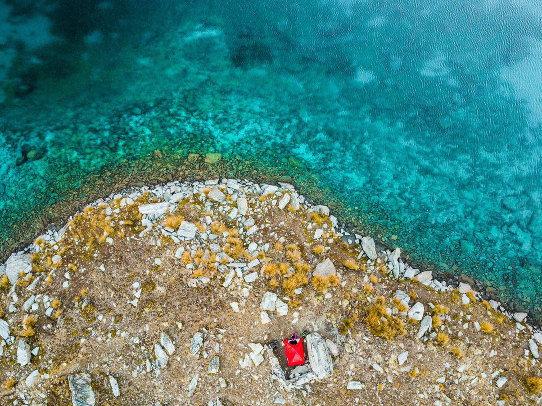
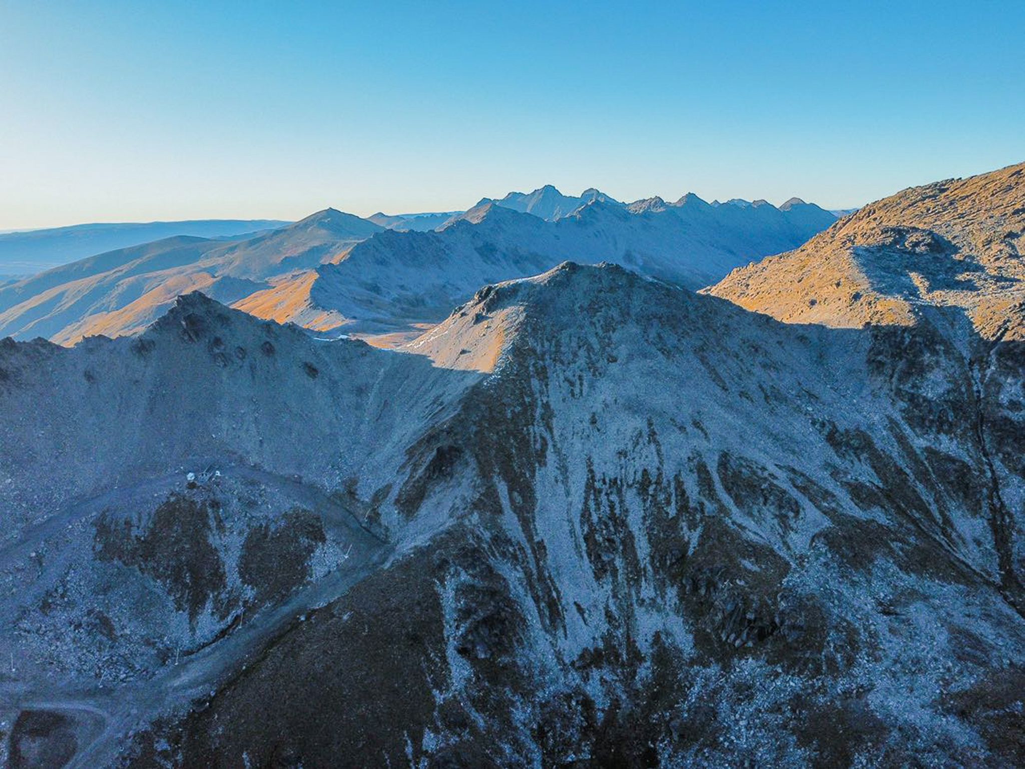
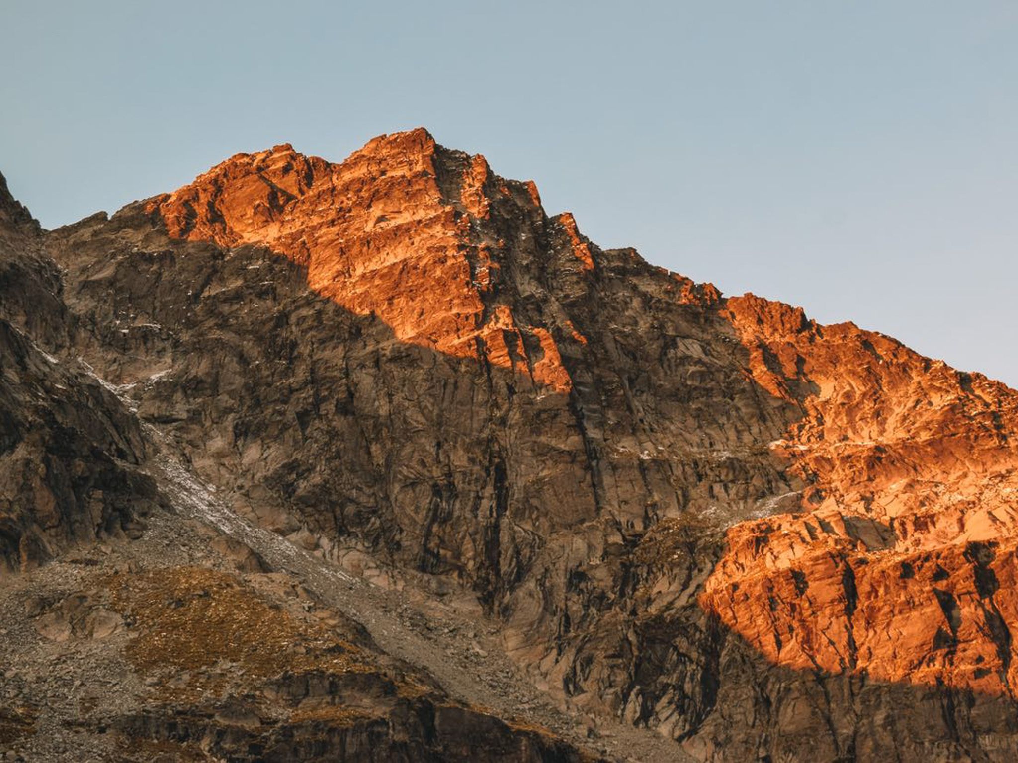
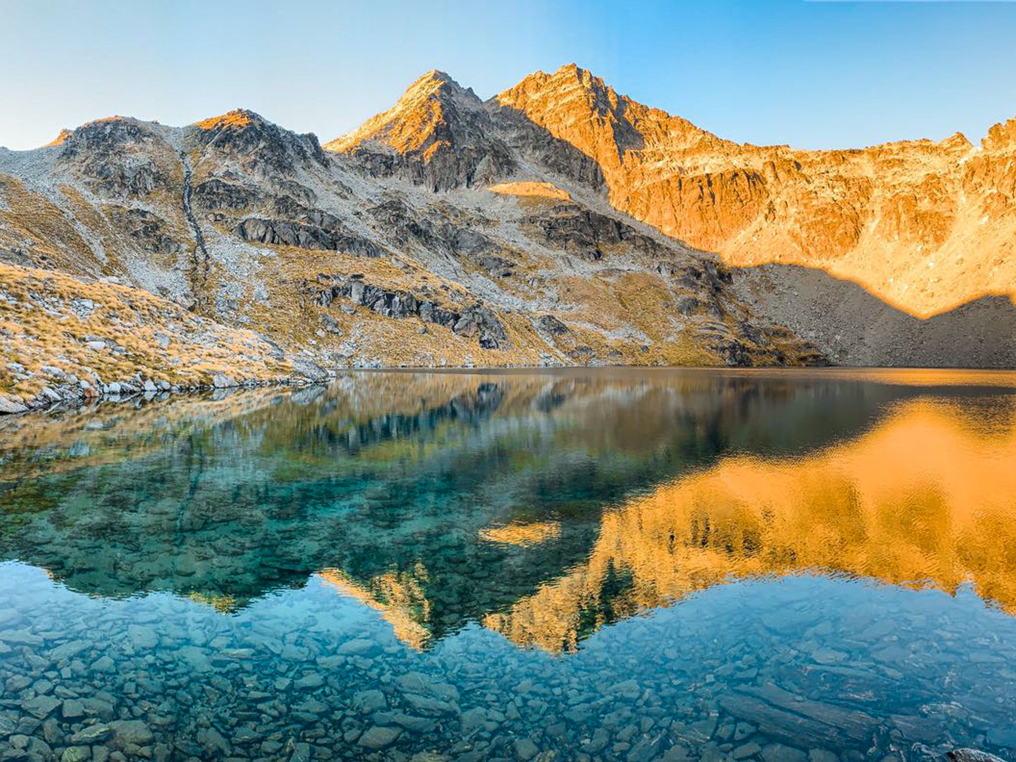
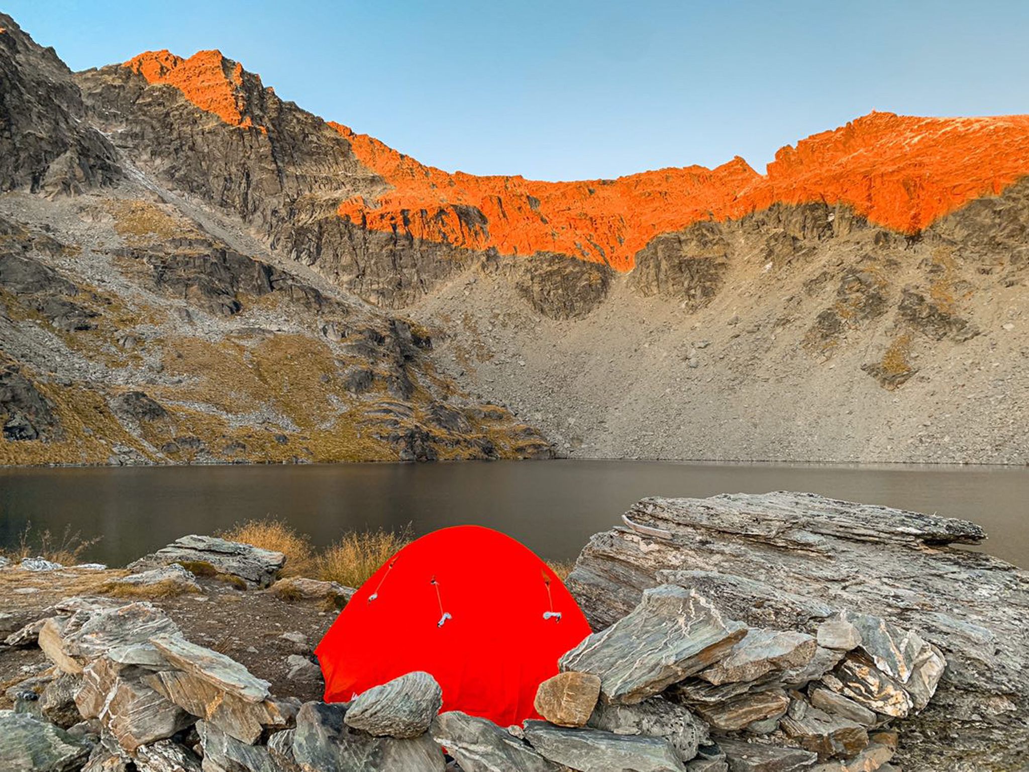
Lake Alta is situated high in The Remarkables, a striking mountain range reaching 2,200 metres near Queenstown. The lake sits at 1801 metres, within a bowl below the pointed peaks of the Remarkables, up to 500 metres above the lake. This range overlooks Lake Wakatipu, with its northern end positioned directly above Queenstown Airport. The hike to Lake Alta begins at the top of the Remakables Skifield road, with breathtaking views on the drive up.
Hiking to Lake Alta
From the parking area, it is a 1.7 km walk along a track that follows the Alta chairlift. Once you reach the top of the lift, follow the cairns through the mountain wetlands and over the ridge to reach Lake Alta. The hike takes approximately 40 minutes each way. During the ski season, the Alta chairlift can take you most of the way up, but the lake is likely to be frozen and covered in snow.
Exploring the Wye Creek Route
For those with more time, a reasonable level of high-country tramping experience, and the ability to arrange a second vehicle, the Wye Creek Route offers an extended adventure. This route takes you up to a pass at 2,000 metres, directly above Lake Alta. From there, you can tramp south to the Wye Creek Dam, with the option of crossing a pipeline to explore a series of waterfalls on the Wye Creek South Branch. From the dam, it is all downhill to a car park above Lake Wakatipu.
Preparing for Alpine Conditions
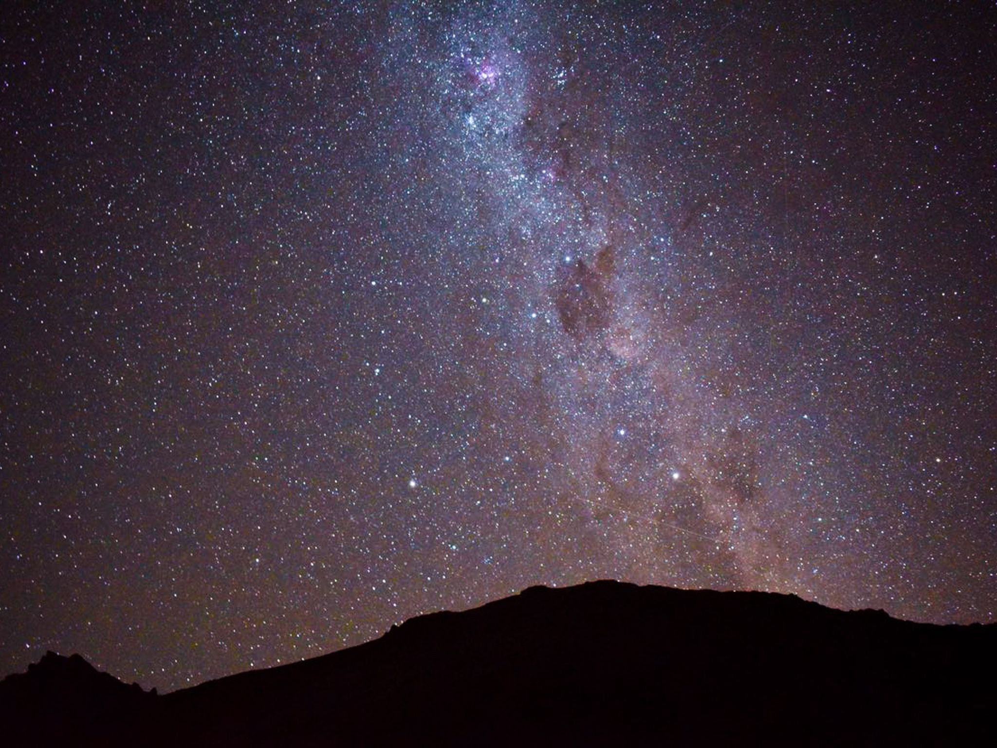
Even in summer, the weather in these mountain altitudes can be cold and unpredictable. It is advisable to consult the New Zealand Mountain Safety Council (NZMSC) for guidance on preparing for alpine conditions.
Getting to Lake Alta
To reach Lake Alta, drive along State Highway 6, just south of Franklin, and follow the sign-posted ski field road to the parking area at 1,600 metres.
Other high country walks in the region include New Chum Gully, Sawpit Gully, and Queenstown Hill. Ben Lomond is a mountain directly behind Queenstown, partly accessible by gondola. Easier lowland walks include Lake Hayes and the Arrow River Trail.