
A lesser known but interesting part of the South Island is the area around the Hakatere Conservation Park. It includes the Ashburton Lakes, Erewhon, and Mount Sunday on the northeast side of the Rangitata River Valley. We focus here on a road trip, but there is extensive hiking in the Hakatere Conservation Park as well.
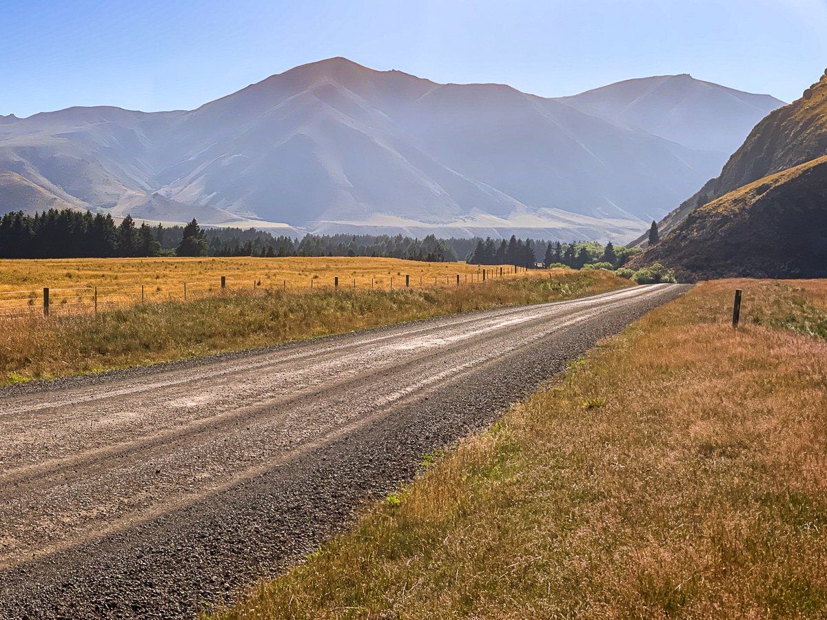
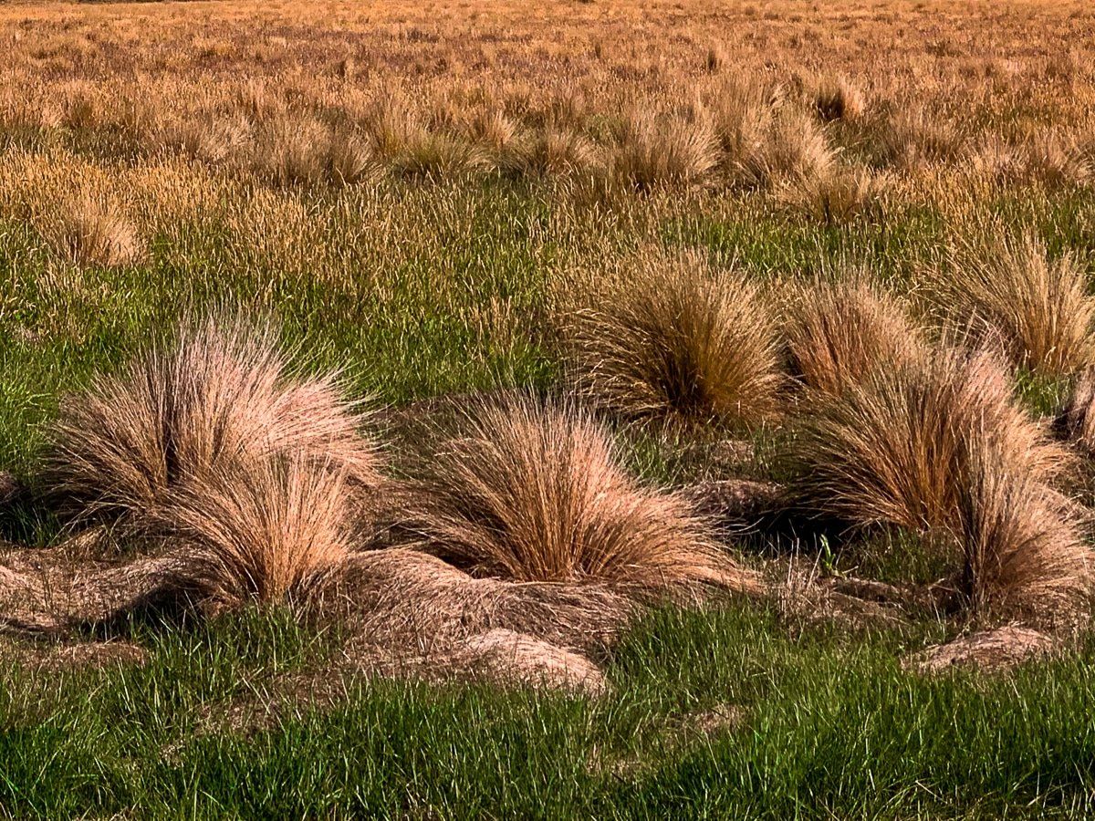
You access the area from the small town of Mt Somer on the Canterbury Plains, taking the Ashburton Gorge Road. This region is dry, like other eastern parts of the Southern Alps, and dominated by large farm stations, tussock, small lakes, rivers and streams. If you could cross the Rangitata, you end up in Mesopotamia and the Peel Forest.
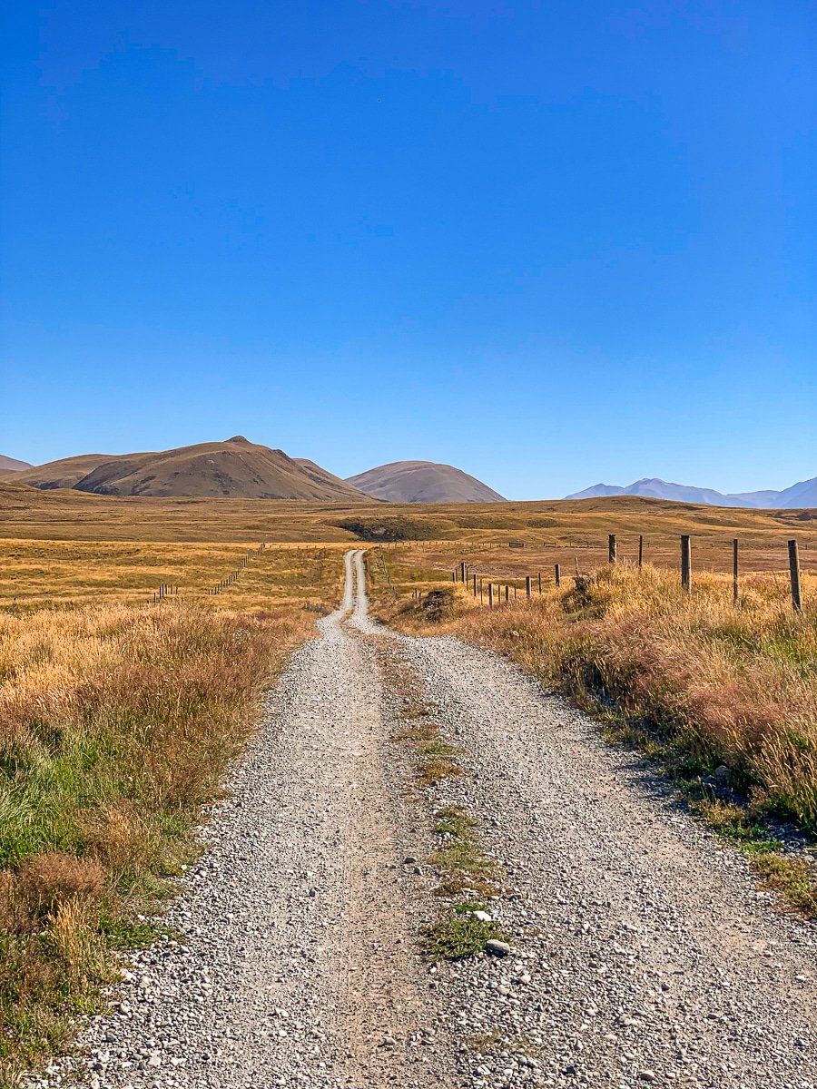
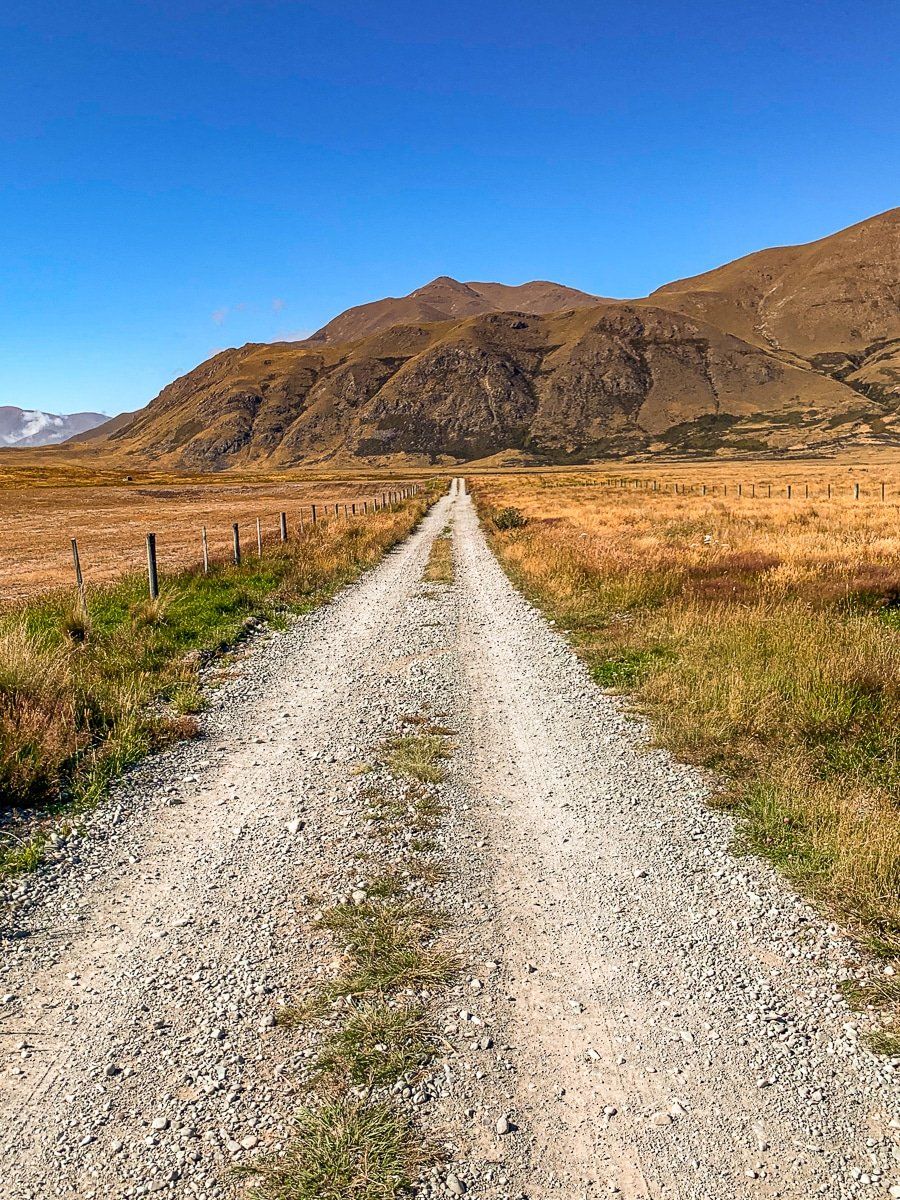
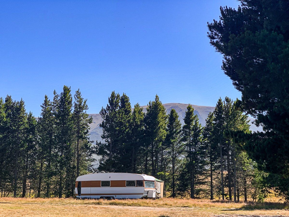
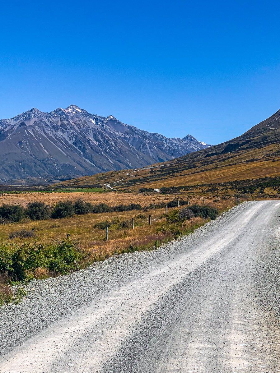
There are several places to camp, accommodation around Lake Clearwater, and a lodge at Mt Potts that supports heli-skiing, but it is quite remote and there are no shops beyond Mt Somers. The trip is on a metal road shortly after the hamlet of Hakatere, and the walk to Mt Sunday more or less marks the end of the road.
Hakatere
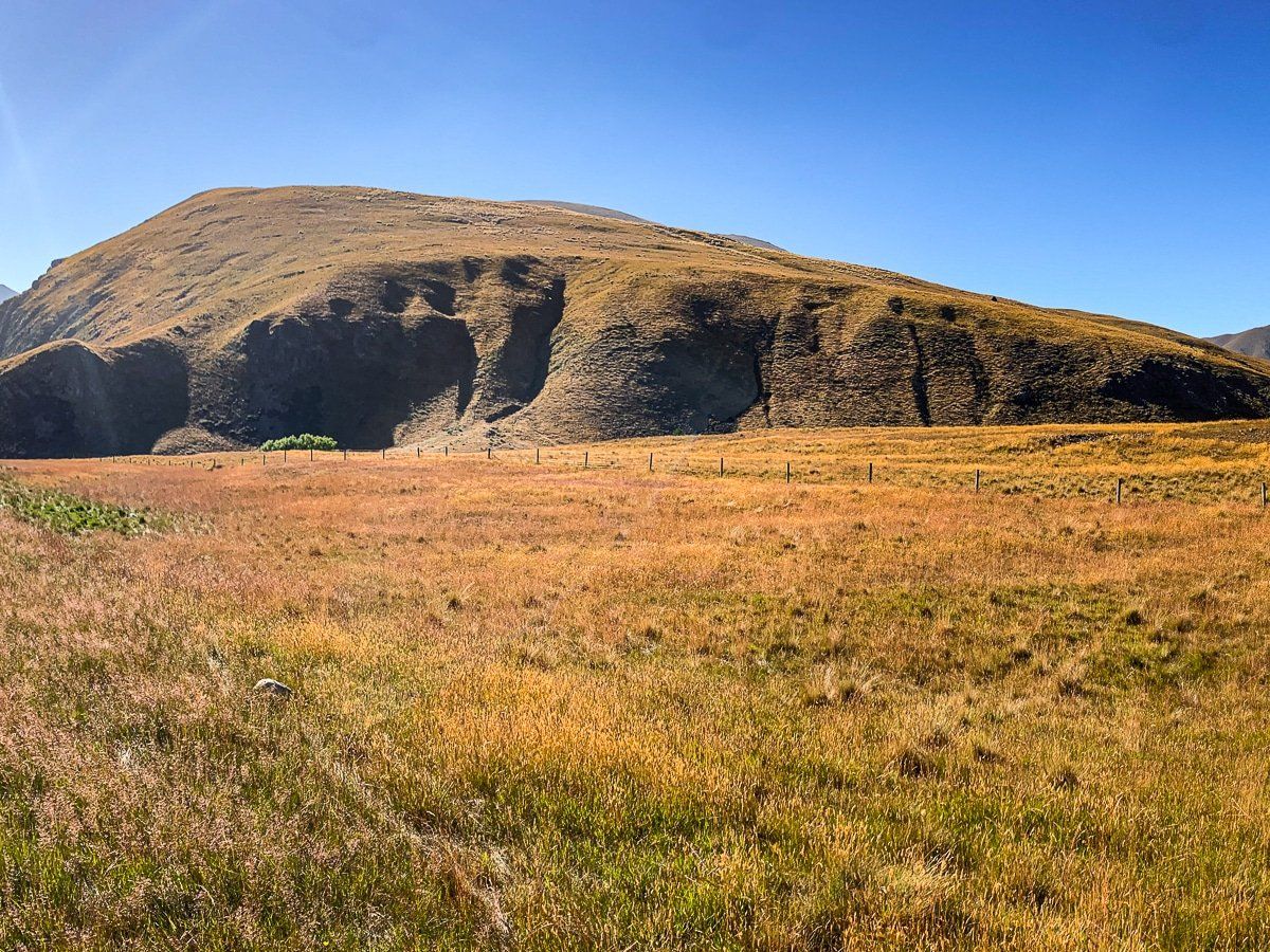
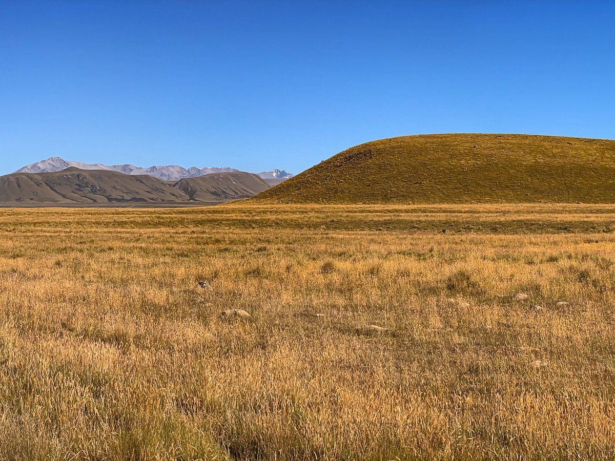
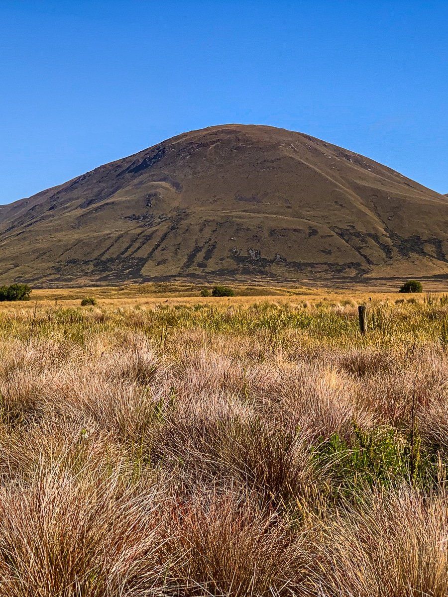
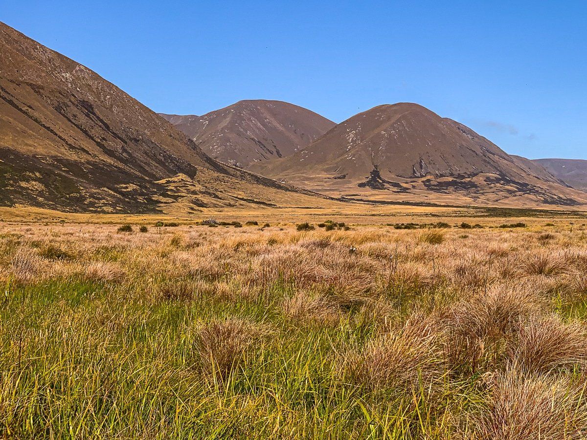
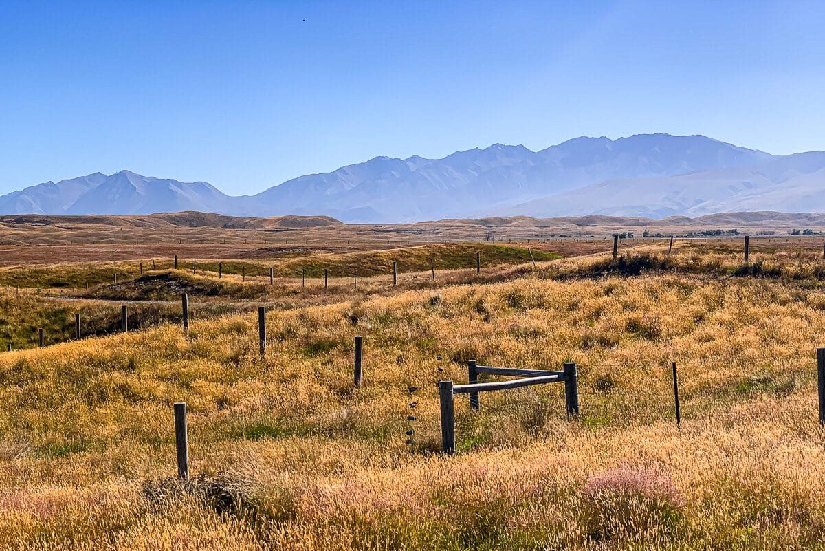
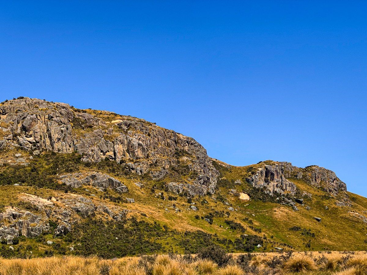
As you drive towards the Ashburton Lakes, you enter the Hakatere Conservation Park at about 600 metres above sea level. The park is very extensive at 60,000 hectares, and takes in various areas around the Ashburton Lakes and between the Rakaia River and Rangitata River.
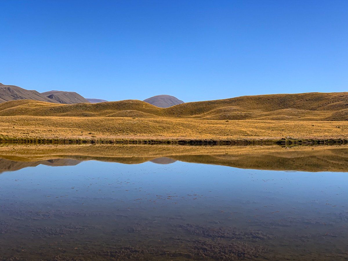
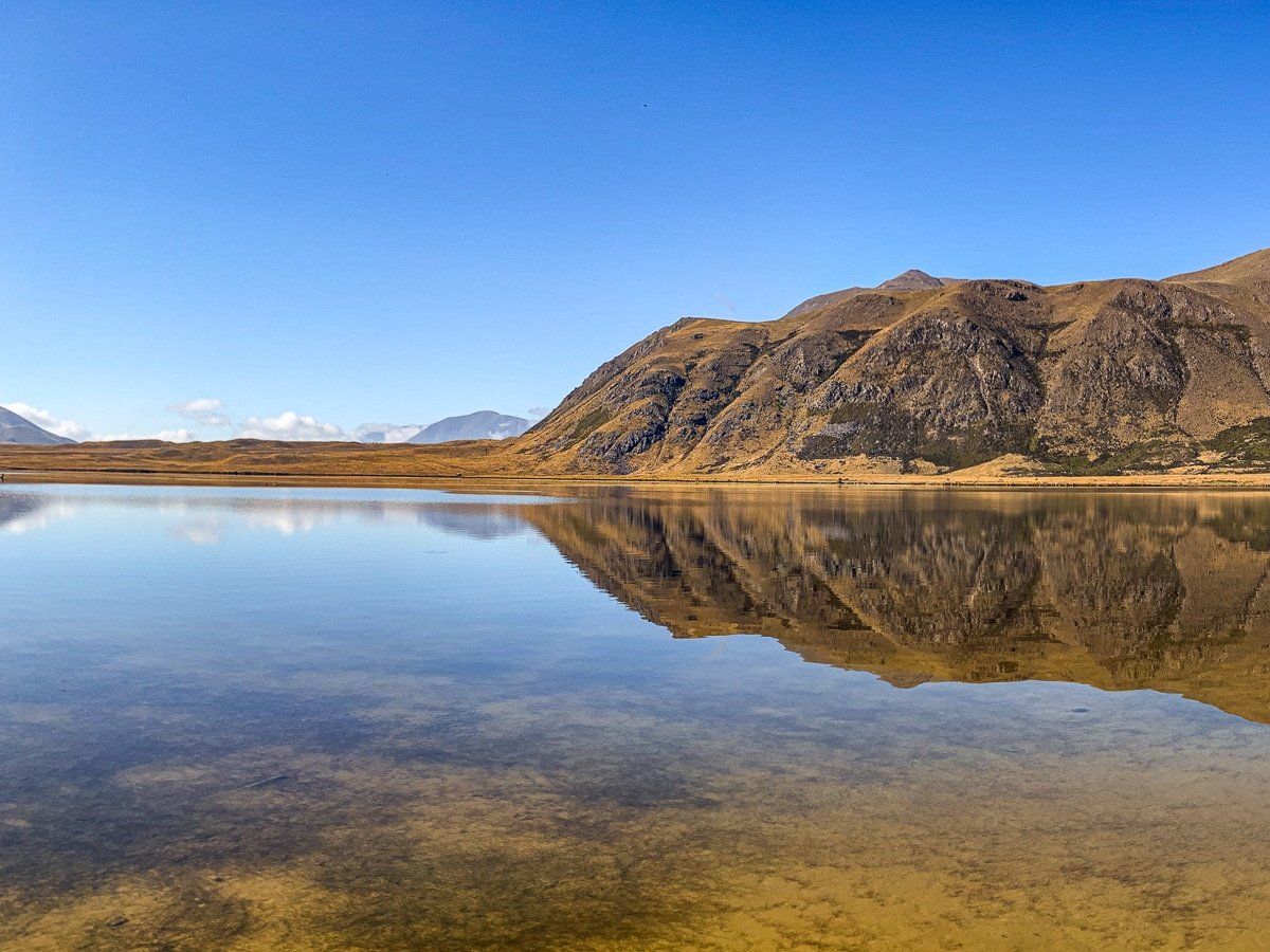
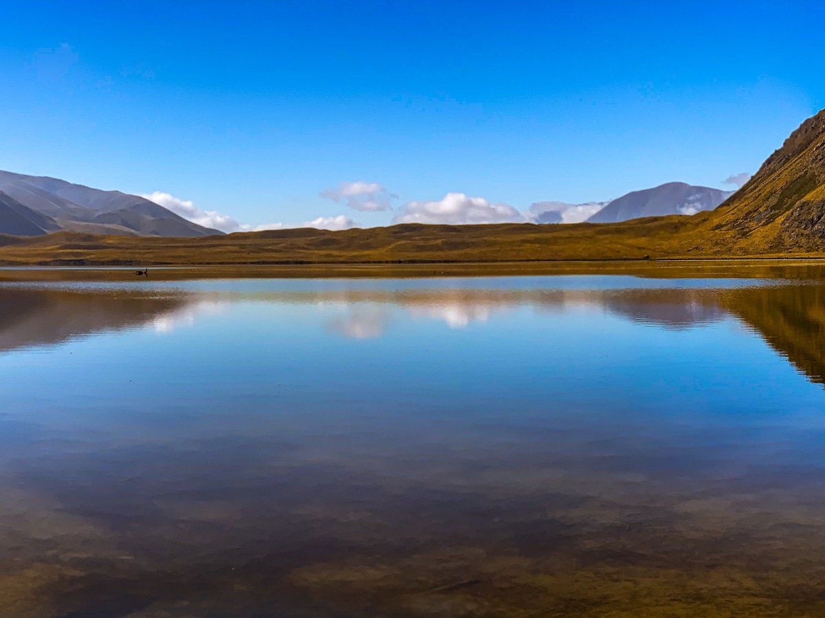
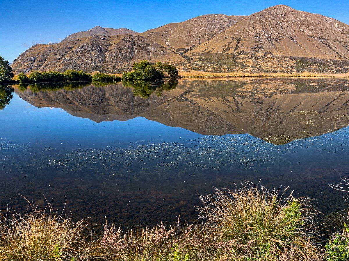
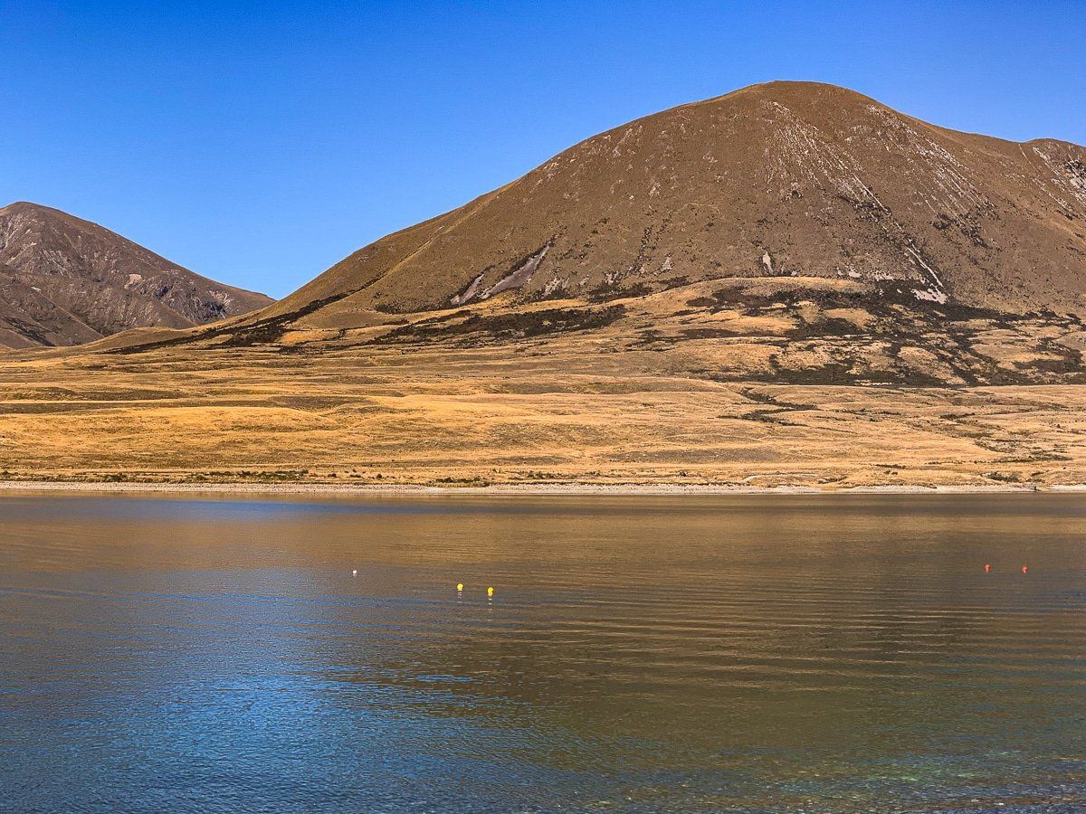
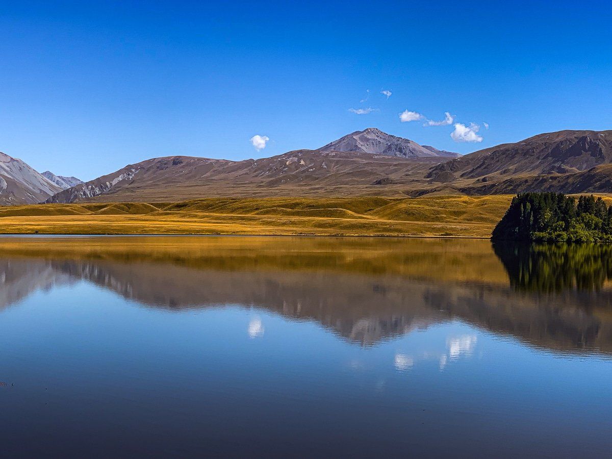
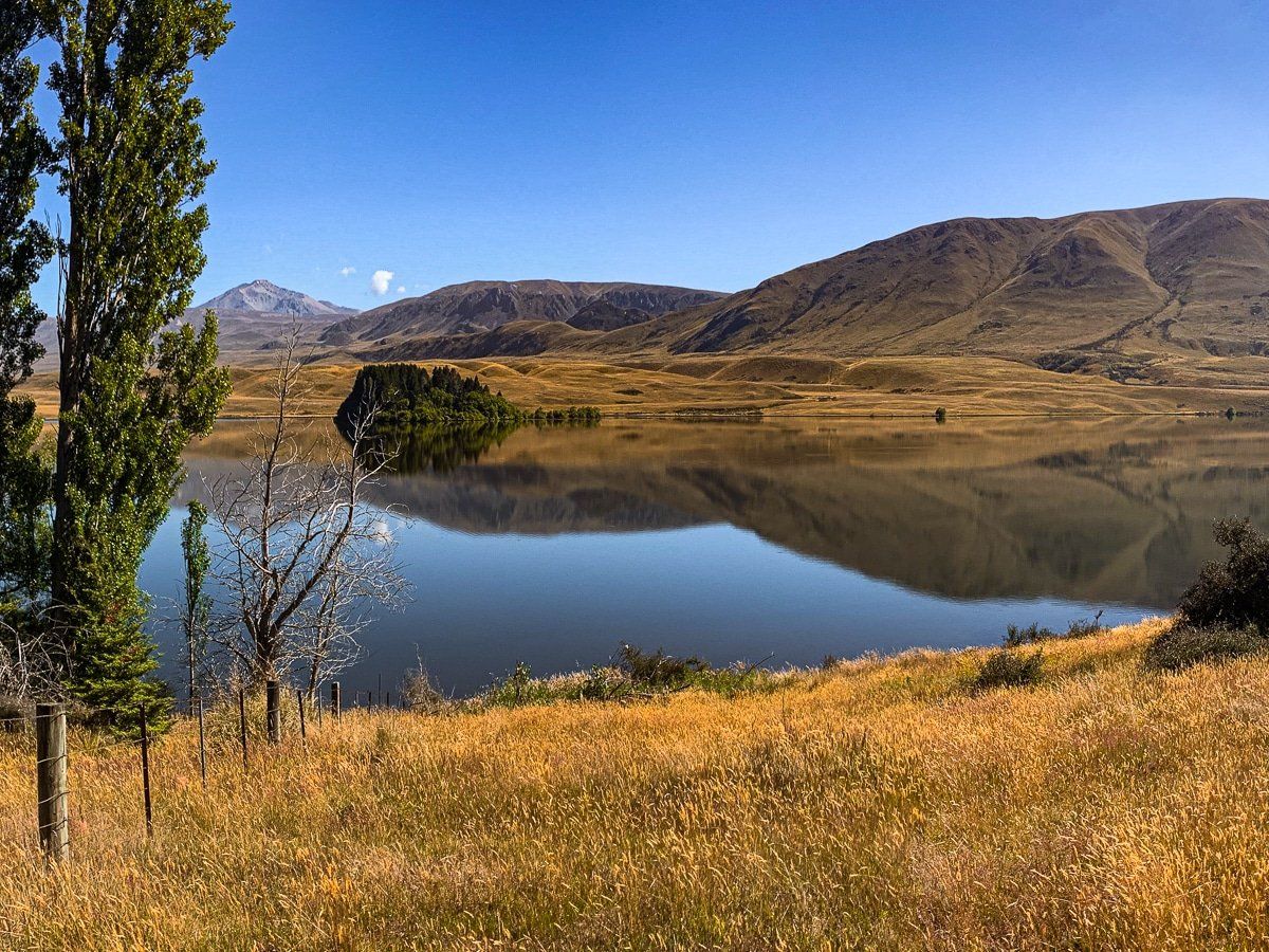
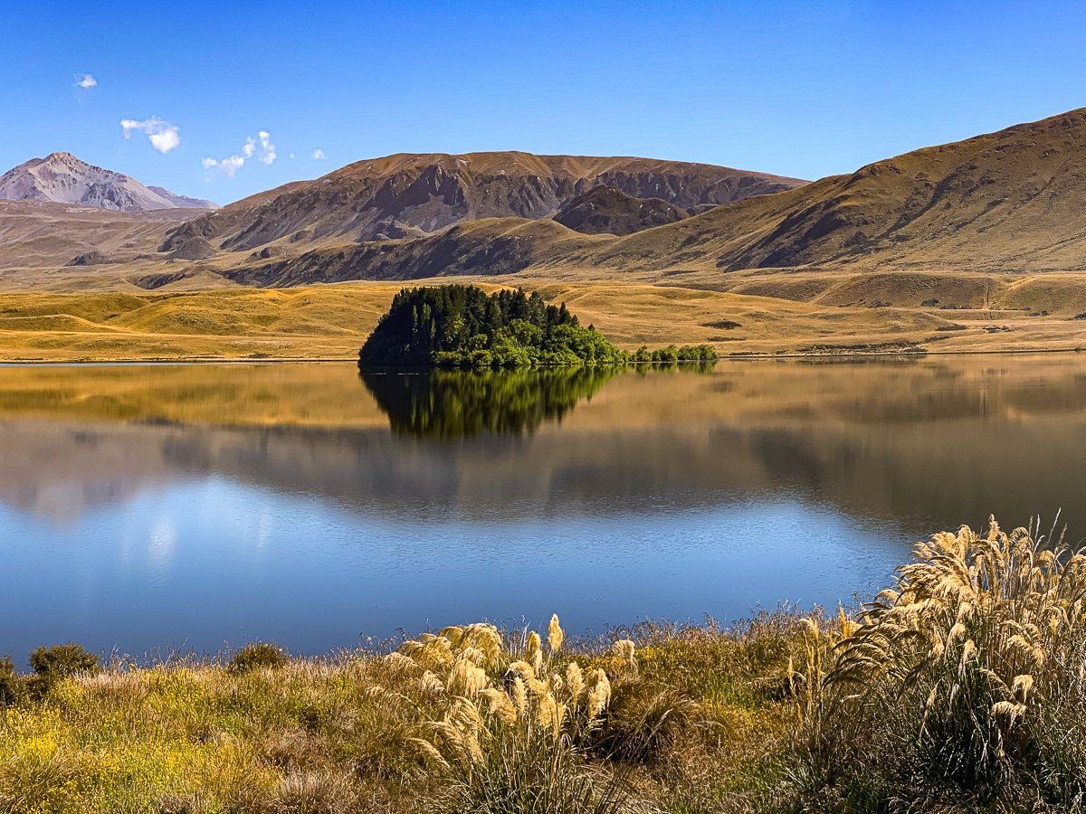
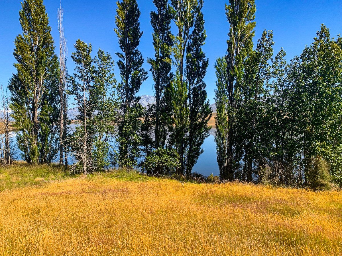
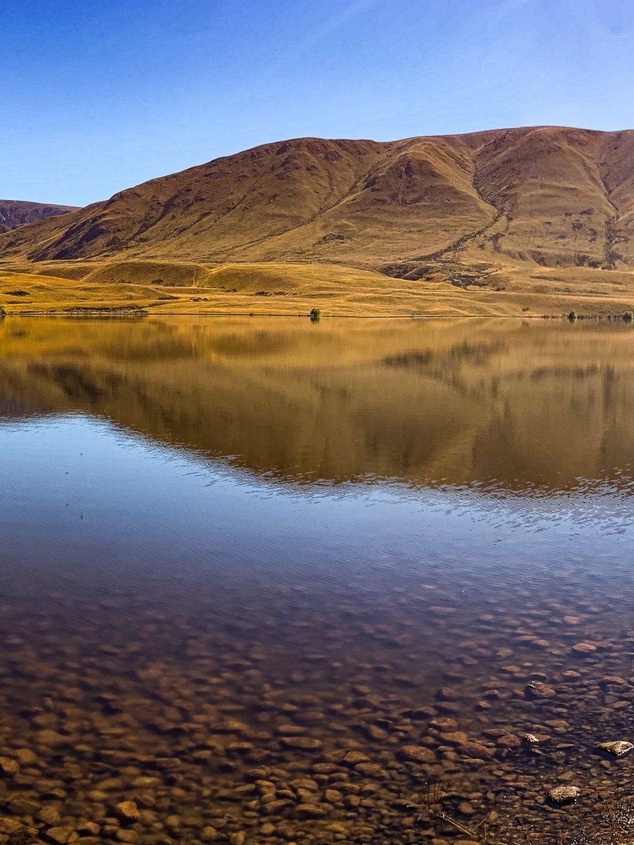
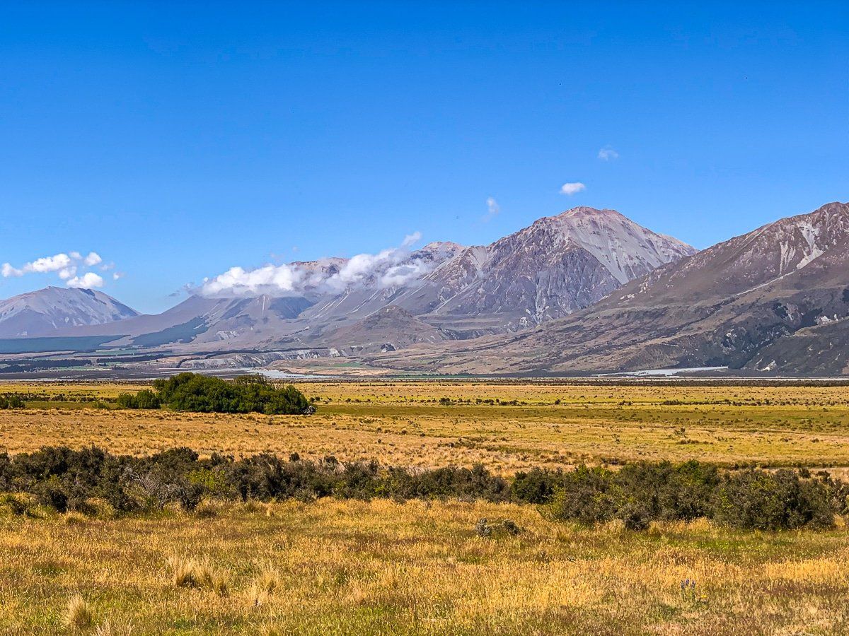
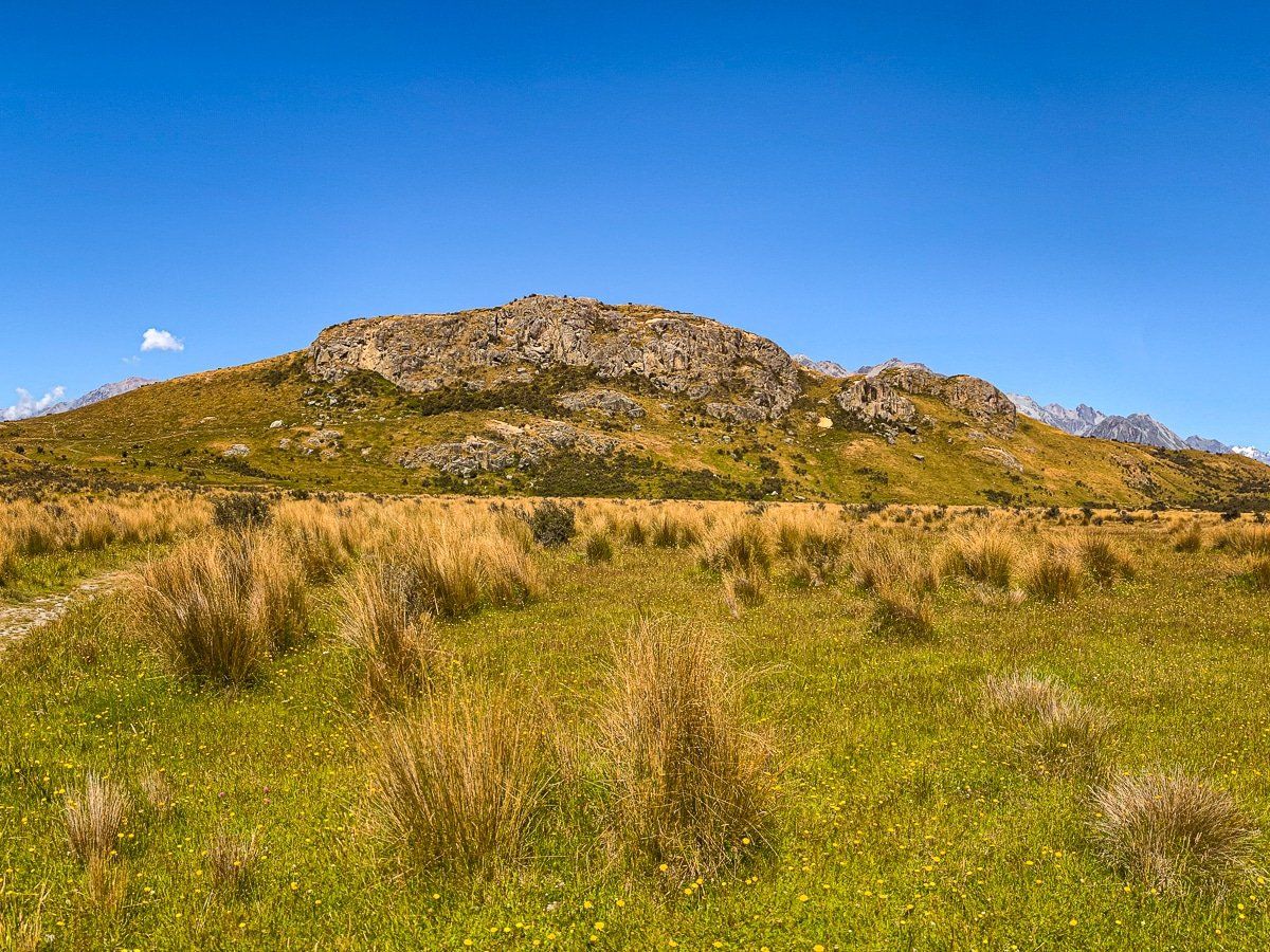
As you approach the lakes, you cross an area called Fagans Downs, a wide, dry plain surrounded by distant mountains and a scattering of lakes and wetlands. You can drive to several of the lakes, and there are tracks that take you to others. Regardless, the contrast between dry and wet is amazing, and makes for superb lake reflections on a calm day.
Lake Emma
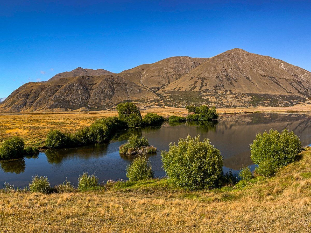
Lake Emma is a short side trip from the main road. The lake is middling in size and exceedingly pretty – a great spot for a picnic, with fishing for trout in season. It is a 4WD road to get there, but we had no trouble in a small car.
Lake Roundabout
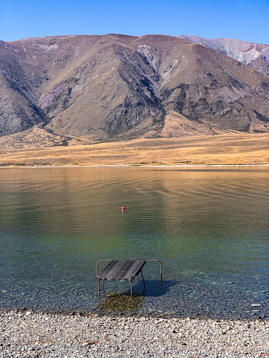
From the Lake Emma access road, there’s a short track to reach Lake Roundabout, a small and very pretty lake. Fly fishing is permitted here in season.
Lake Camp Otautari
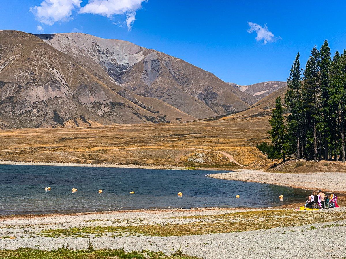
A little further along the main road is Lake Camp Otautari. As its name suggests, there’s a large campground here with facilities. The beaches are decent, but as this is one of the few lakes in the region where you can use a powered boat, it tends to be less peaceful than the other lakes.
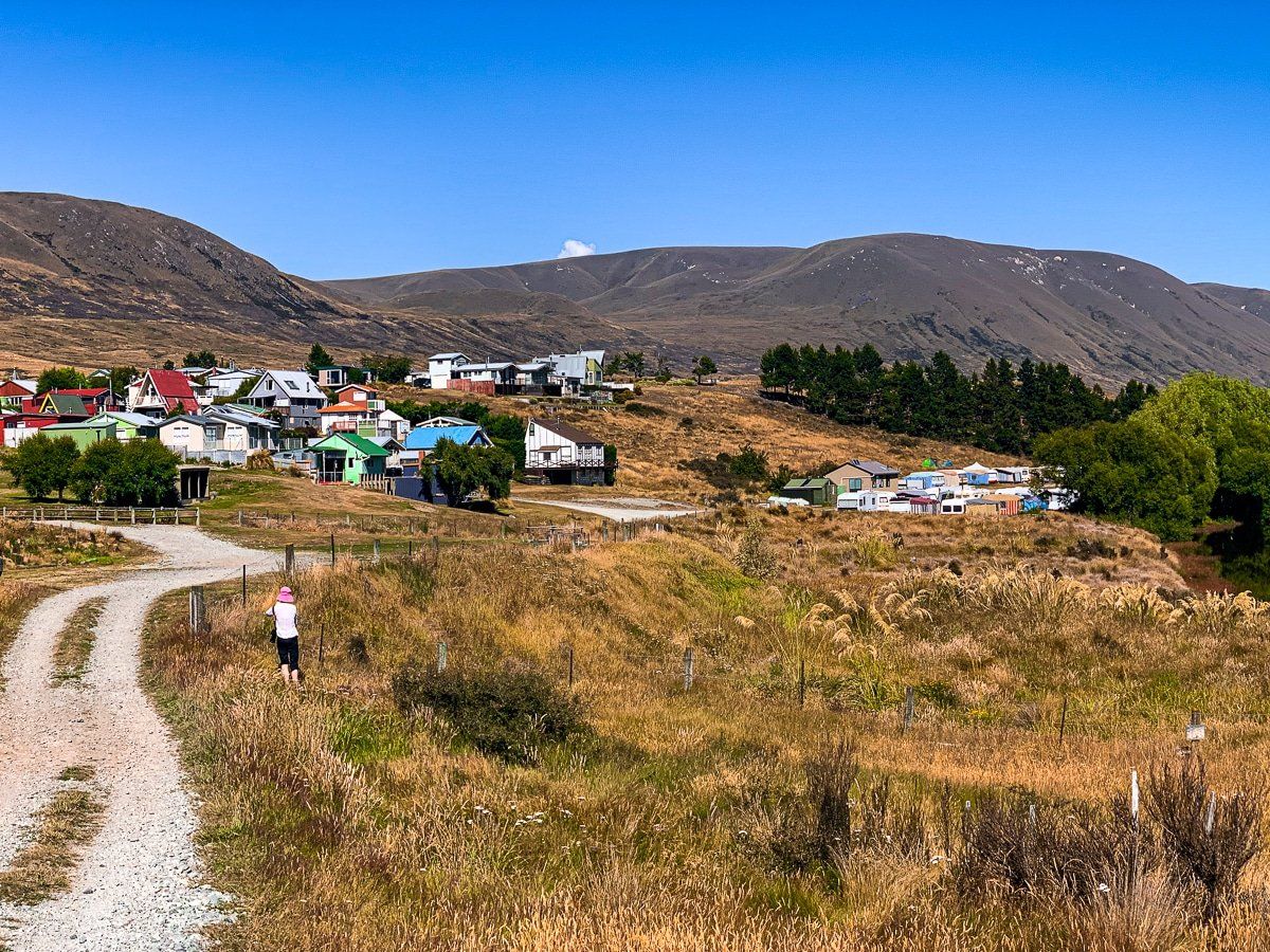
Lake Clearwater
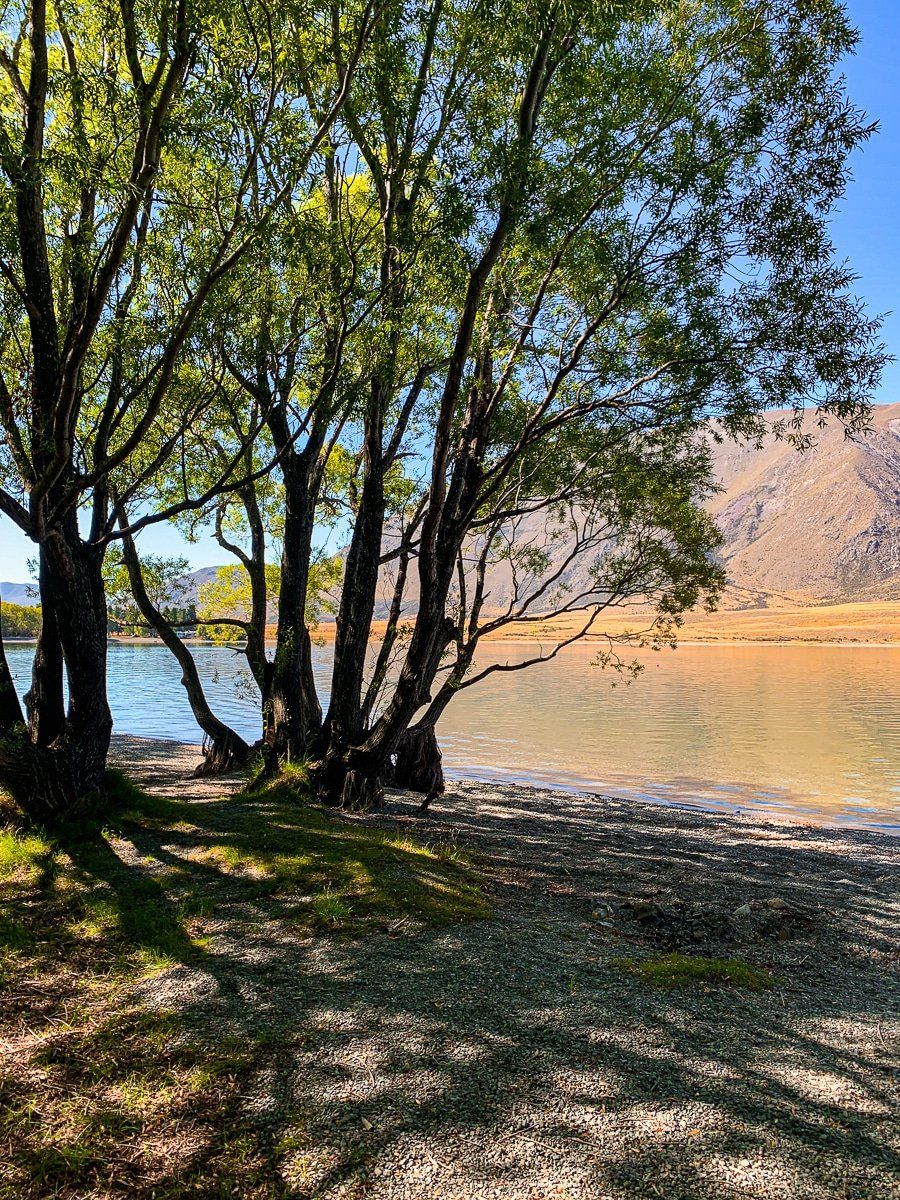
The larger Lake Clearwater is immediately adjacent to Lake Camp Otautari. Lake Clearwater has the only built up area around the Ashburton Lakes, with quite a large number of holiday homes and a campground, but no shops.
You get access to several hiking tracks from the hamlet. There is a loop around the lake (10.5 kms) that also connects with a track to the top of Mt Guy and the Te Araroa Trail. If you’re climbing Mt Guy from the loop track, allow 1.5 to 2 hours, with a climb of 600 vertical metres.
Erewhon
Erewhon, famous only in New Zealand, is “nowhere” spelt backwards. Presumably the families that established the most remote big sheep stations on either side of the Rangitata River about 150 years ago had an interesting sense of humour; the station on the other side was named Mesopotamia.
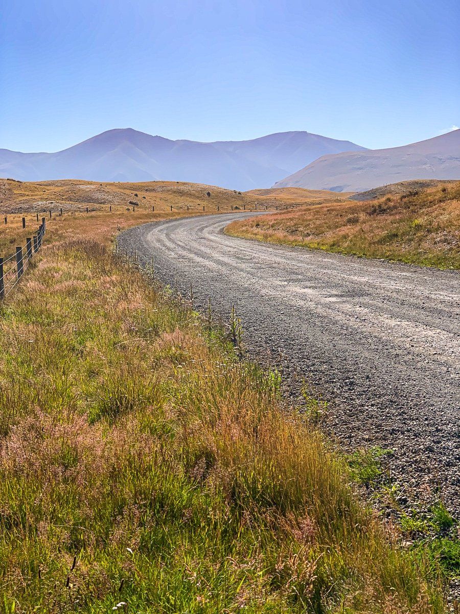
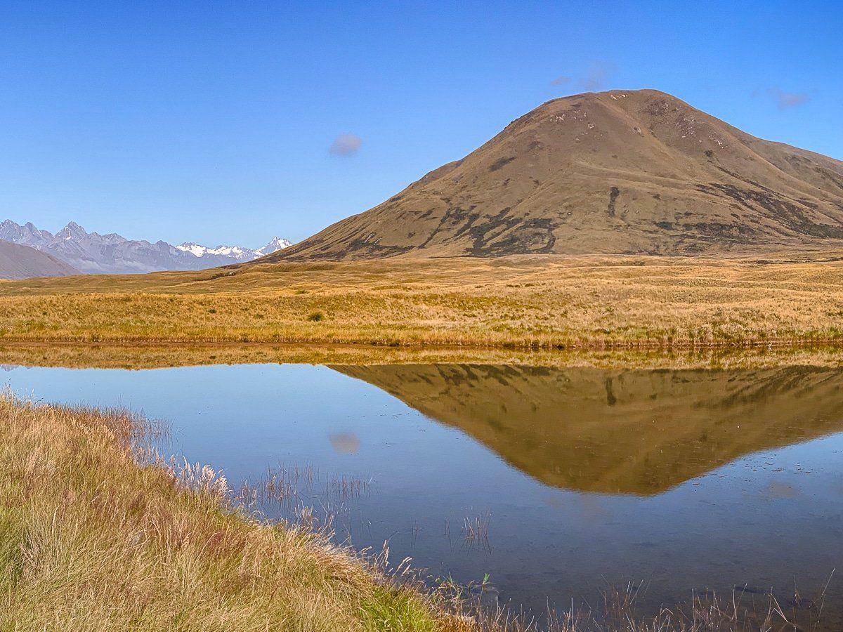
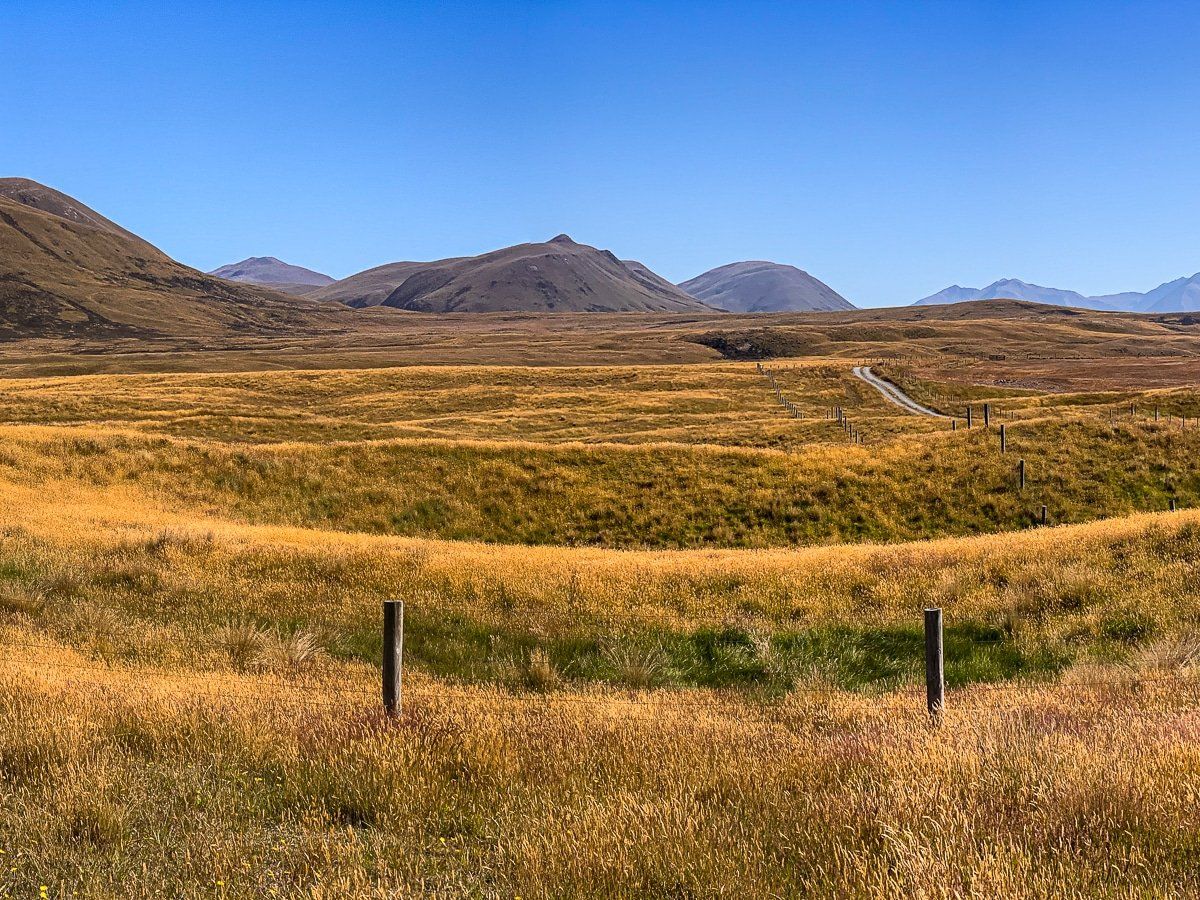
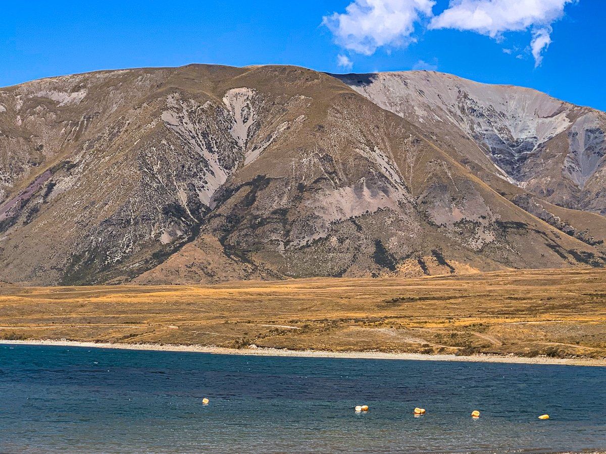
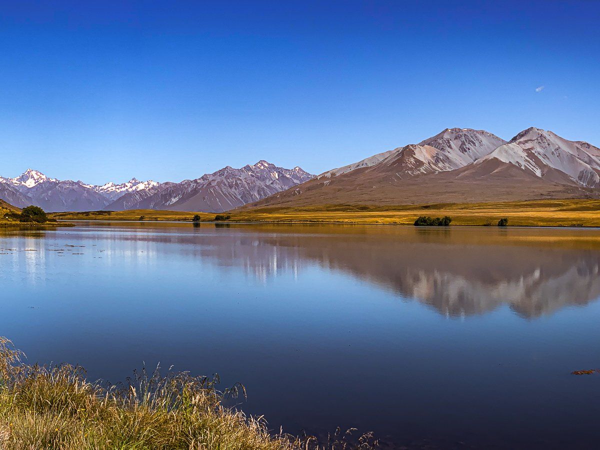
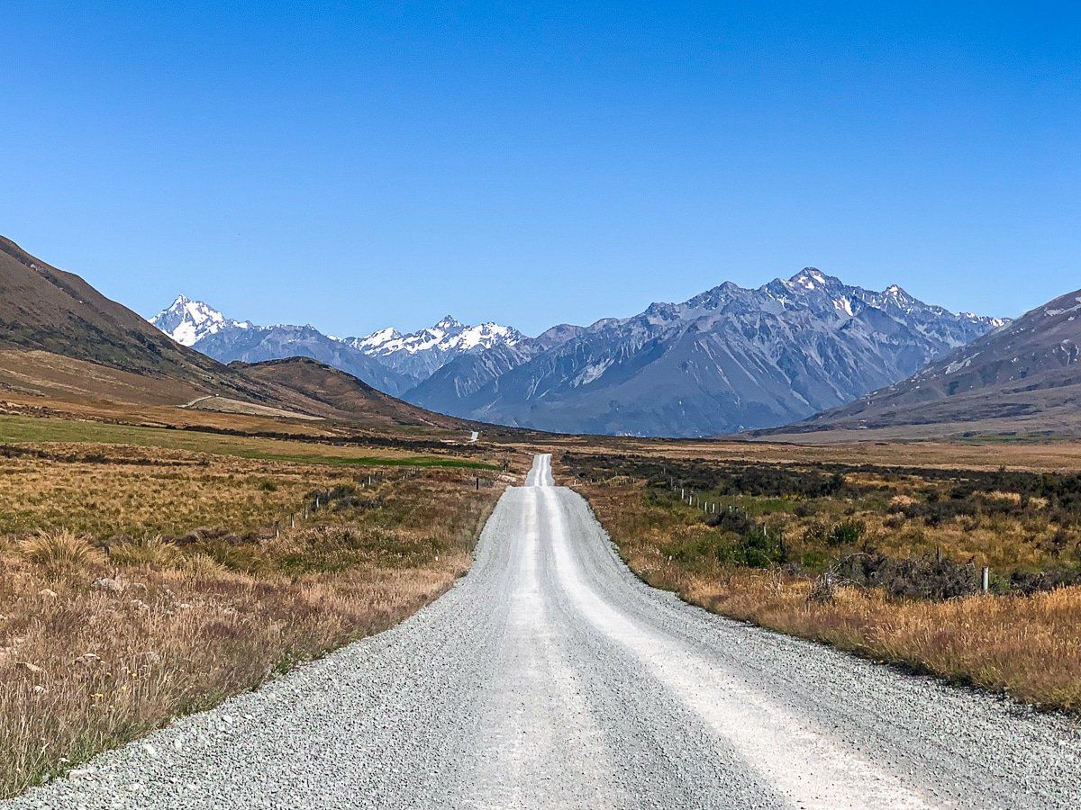
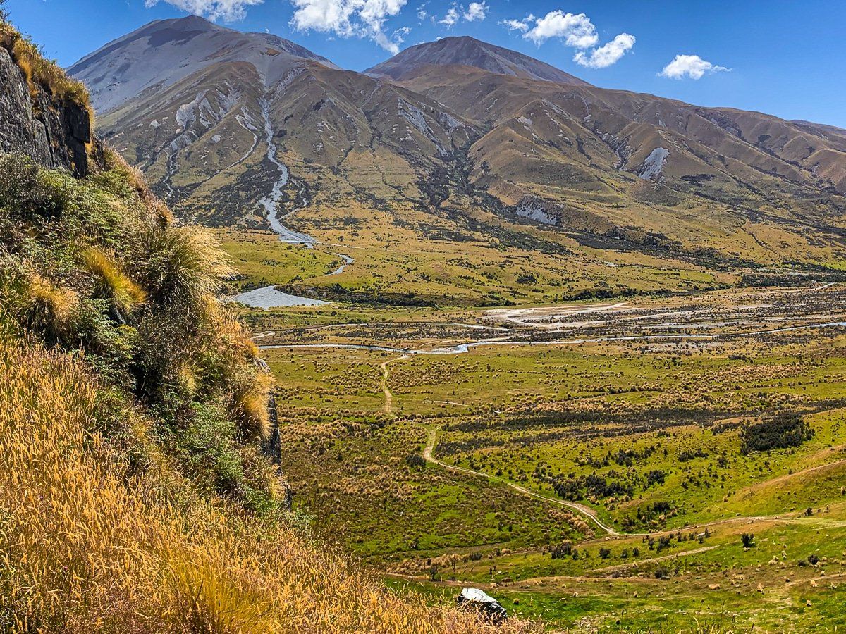
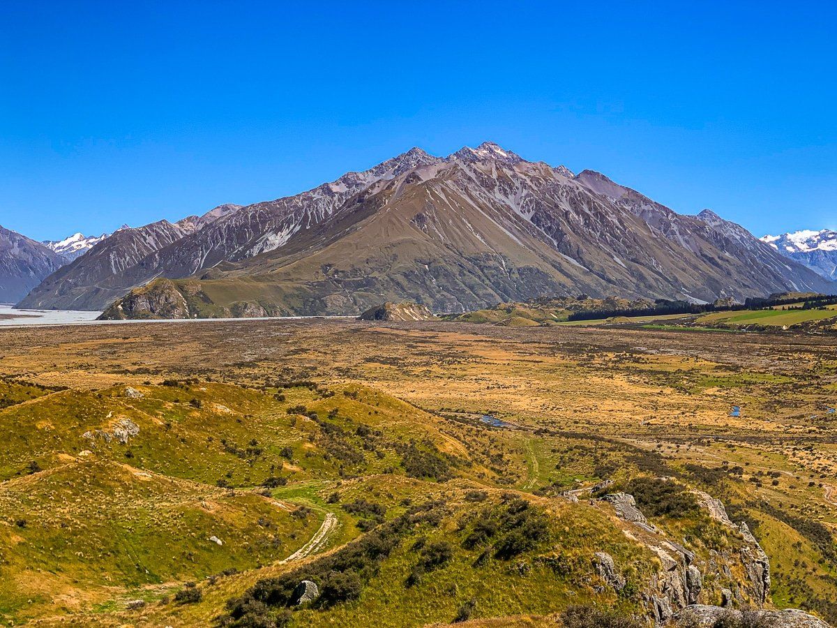
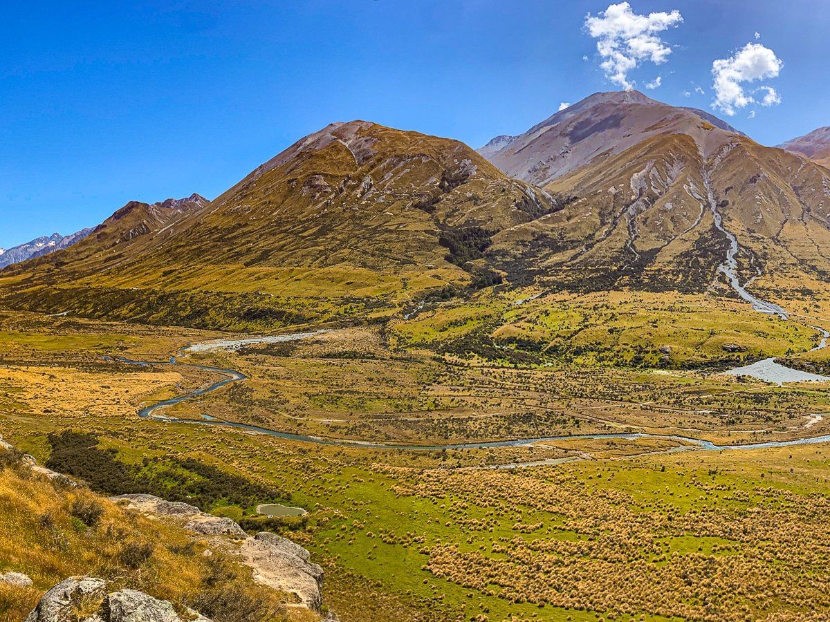
It’s about a 20 km drive from Lake Clearwater to the Mt Sunday walking track. Although this (or a stay at the Mt Potts lodge) is the main reason for taking the trip, the view is also worth it and you can stop almost anywhere.
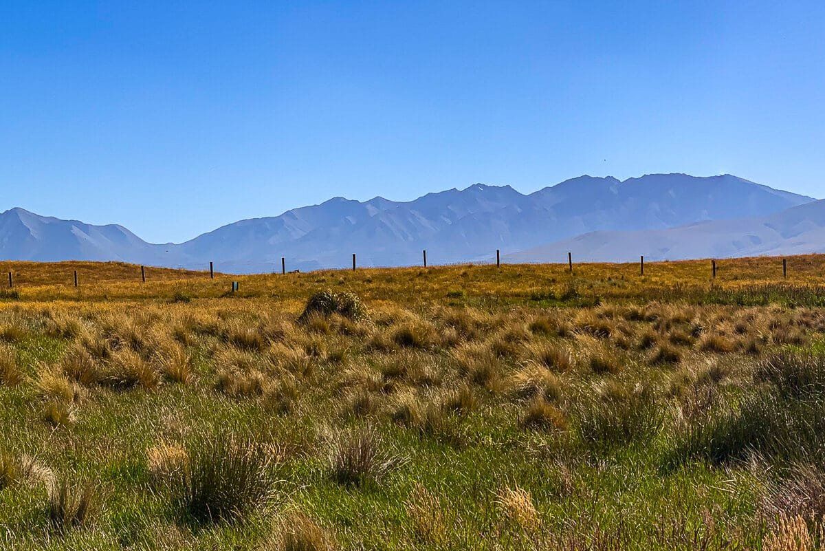
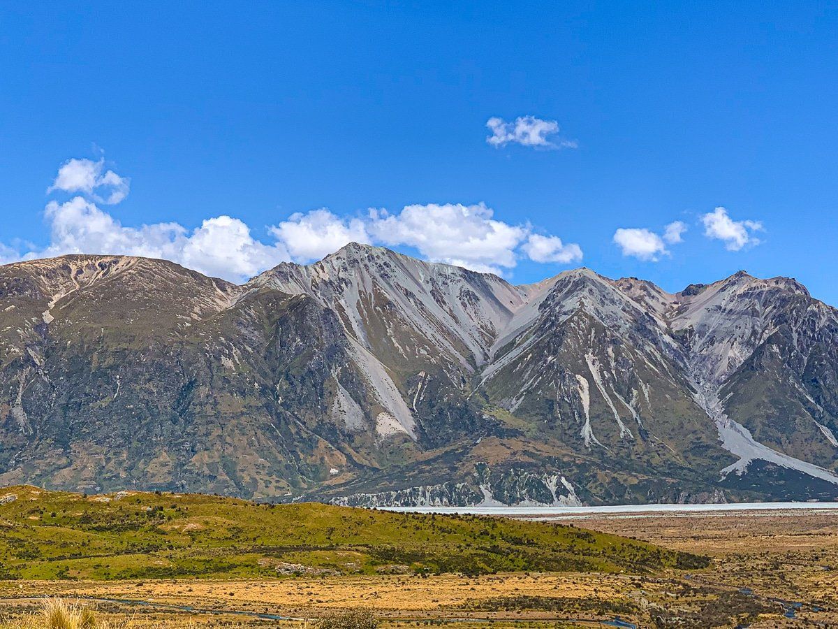
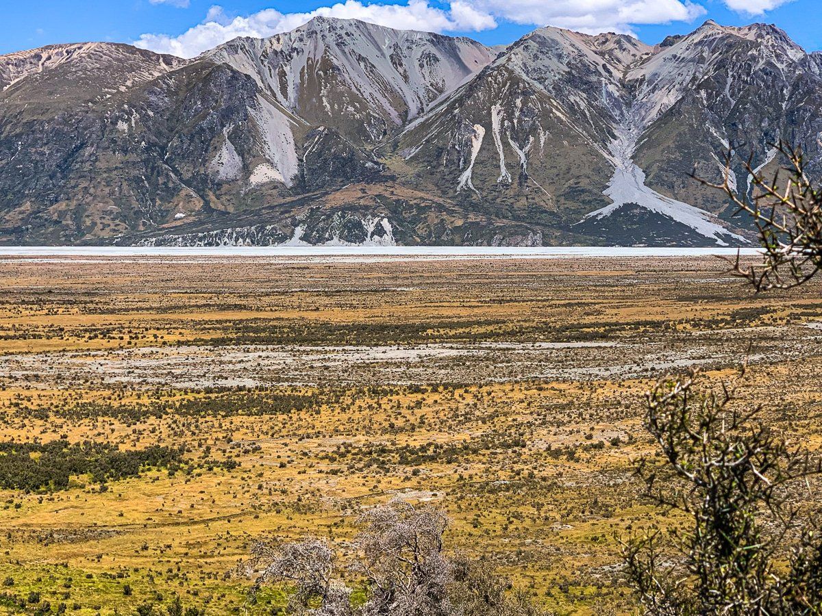
The northeast side of the road is dominated by Mt Potts (2,184 metres high) and the southwest by the Rangitata River Valley, backed by the Black Mountain Range. To the northwest, you’ll be able to pick out glaciers around the main divide. In winter, you probably won’t be able to tell the difference as most peaks will have snow.
Mount Sunday track
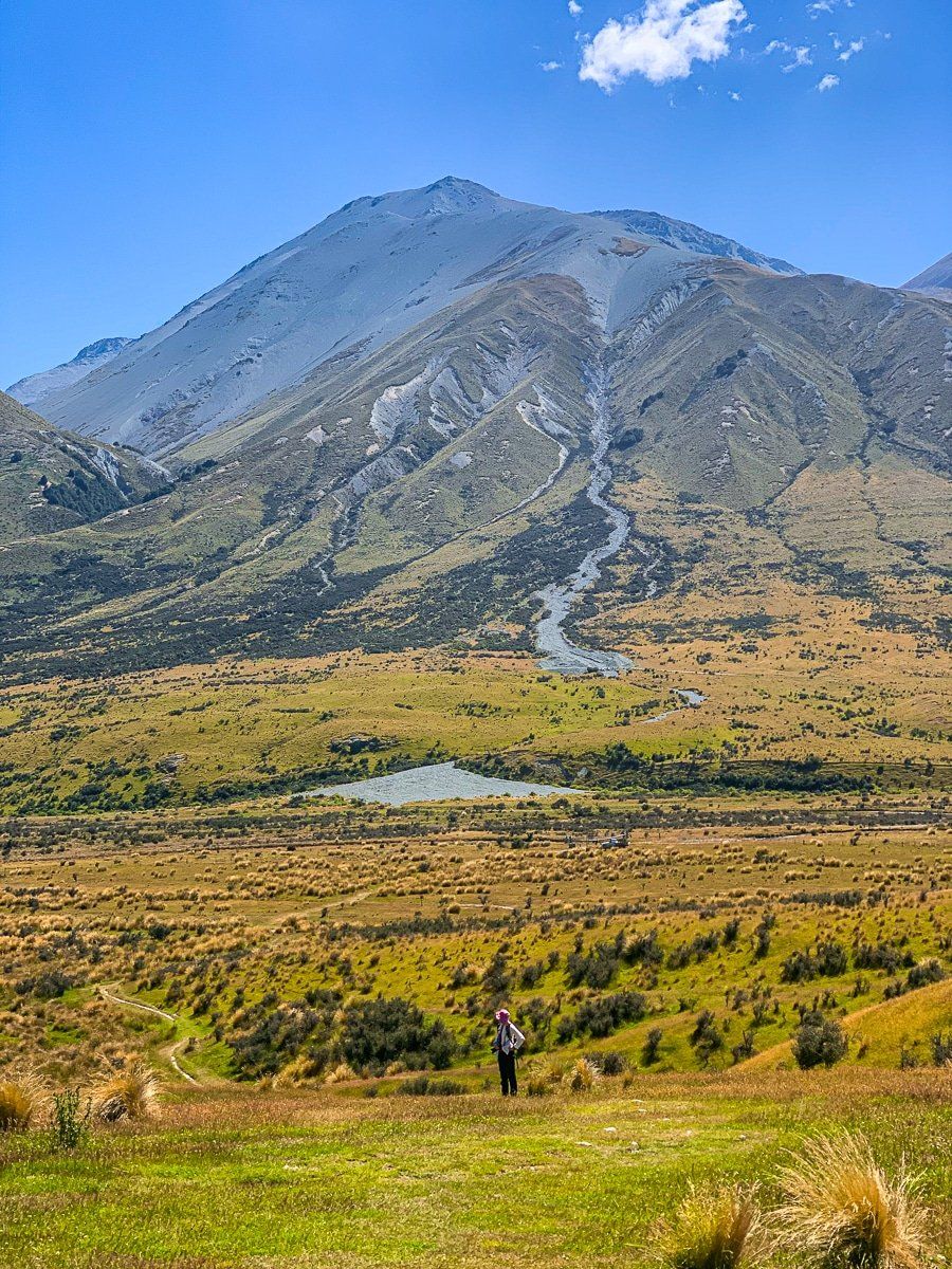
Mount Sunday was once a nondescript hill, but it was made famous in The Two Towers movie as the location of Edoras. Despite the fame, we had the track to ourselves the day we did the walk.
The Mt Sunday track is marked by an obvious car park and trail sign. It’s about 2 kms to the peak, mostly flat but with quite a steep climb at the end on the grassy slope to the left of the rock face. Although you don’t gain that much height, you still get fantastic 360 degree views of the valley and surrounding mountains. The top is quite flat and it’s relatively easy to imagine how they built a substantial movie set at the top to create Edoras, although you won’t see any evidence of the set.
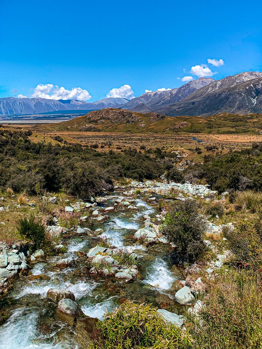
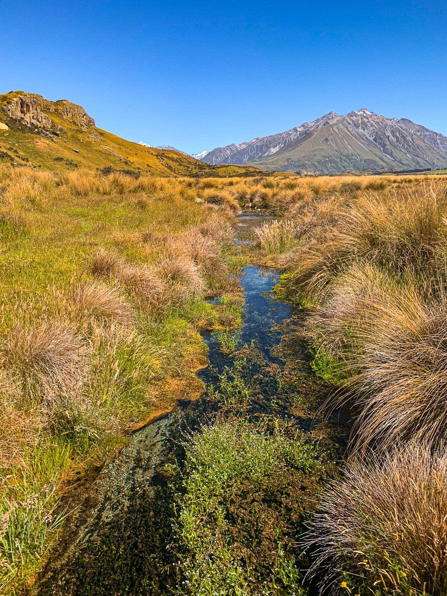
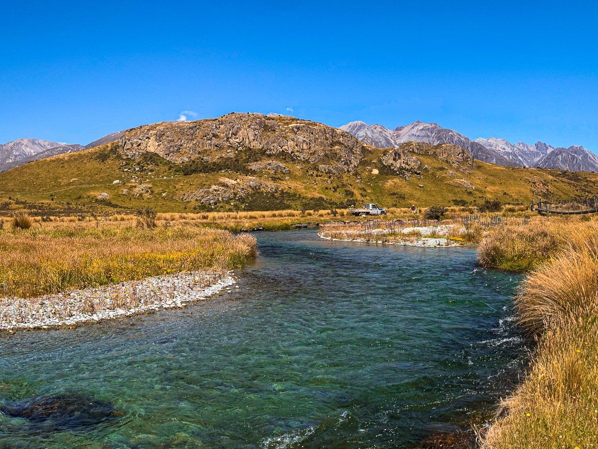
Another interesting feature of this walk is the very pretty, cold stream you cross and wind around. It is apparently one of the highest quality freshwater streams in New Zealand and an important location for wild salmon spawning.
Want more Canterbury trip ideas?
Check out our posts about Lewis Pass Road to Reefton, Reefton to Arthur’s Pass, Kaikoura to Hanmer Springs, Lake Pukaki to Lindis, or Geraldine to Tekapo.