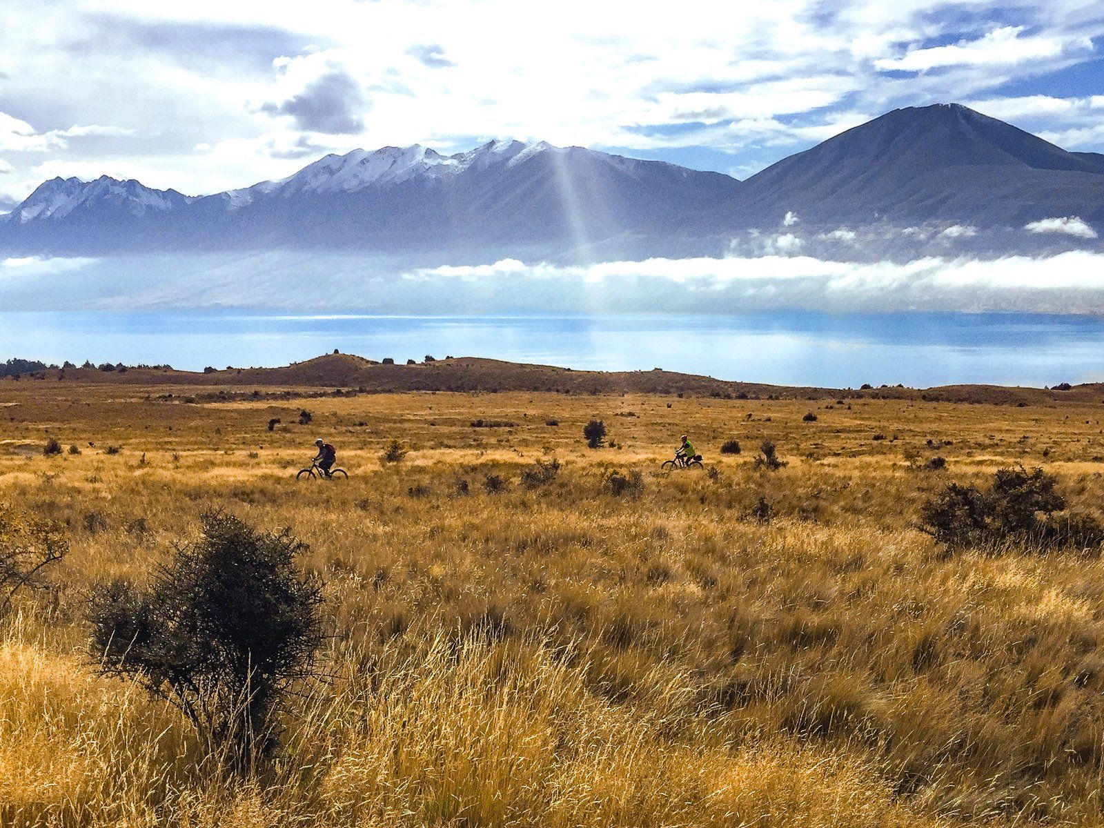
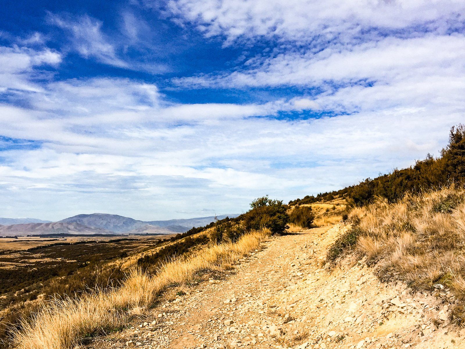
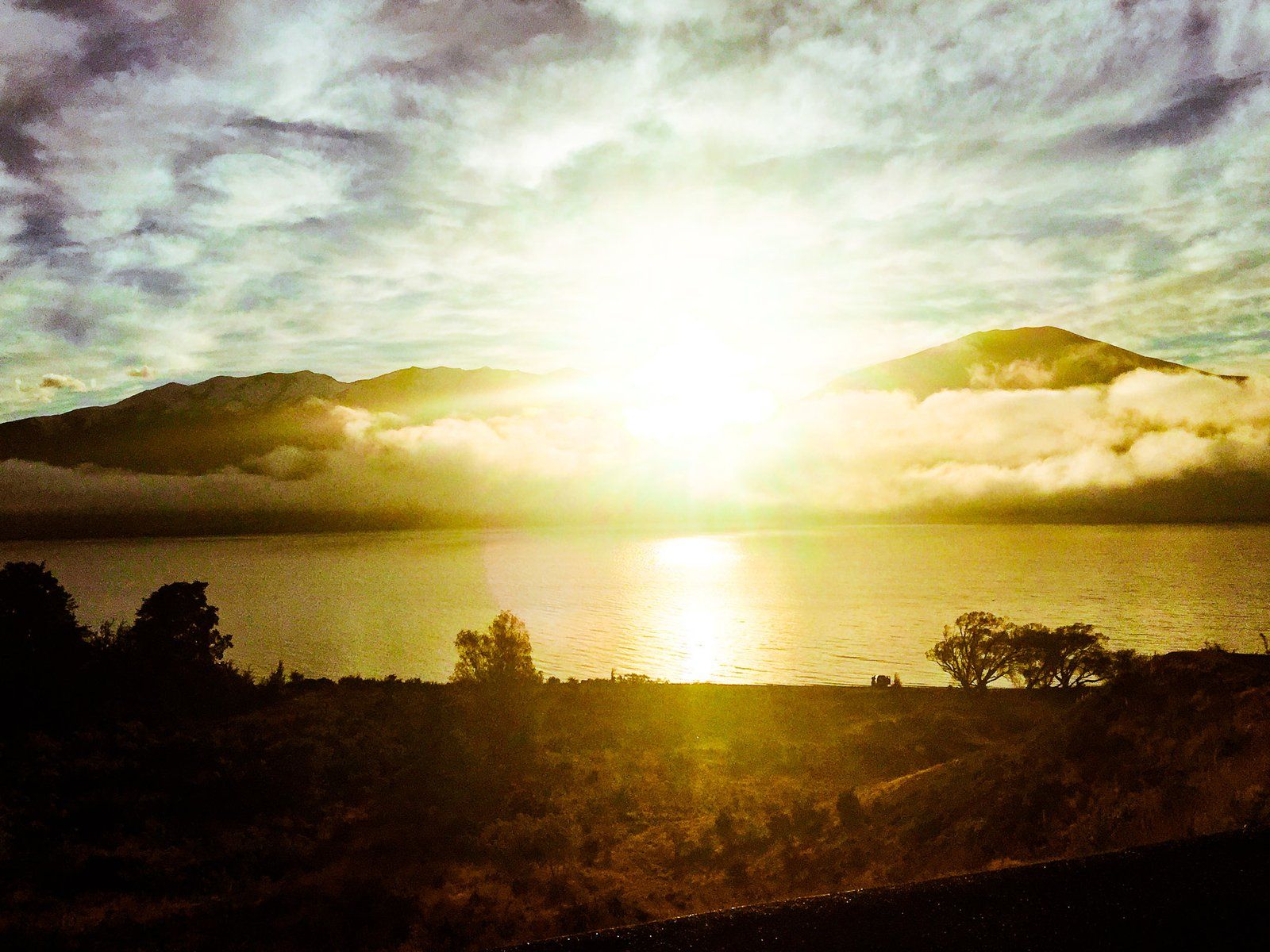
The Tarnbrae Track is 16 km long and runs from the Ōhau Lodge across the face of the Ōhau Range to Quailburn Road. It is best known as a section of the A2O Cycle Trail, but it is also a relatively easy walk to the spectacular open views from the side of the Ōhau Range.
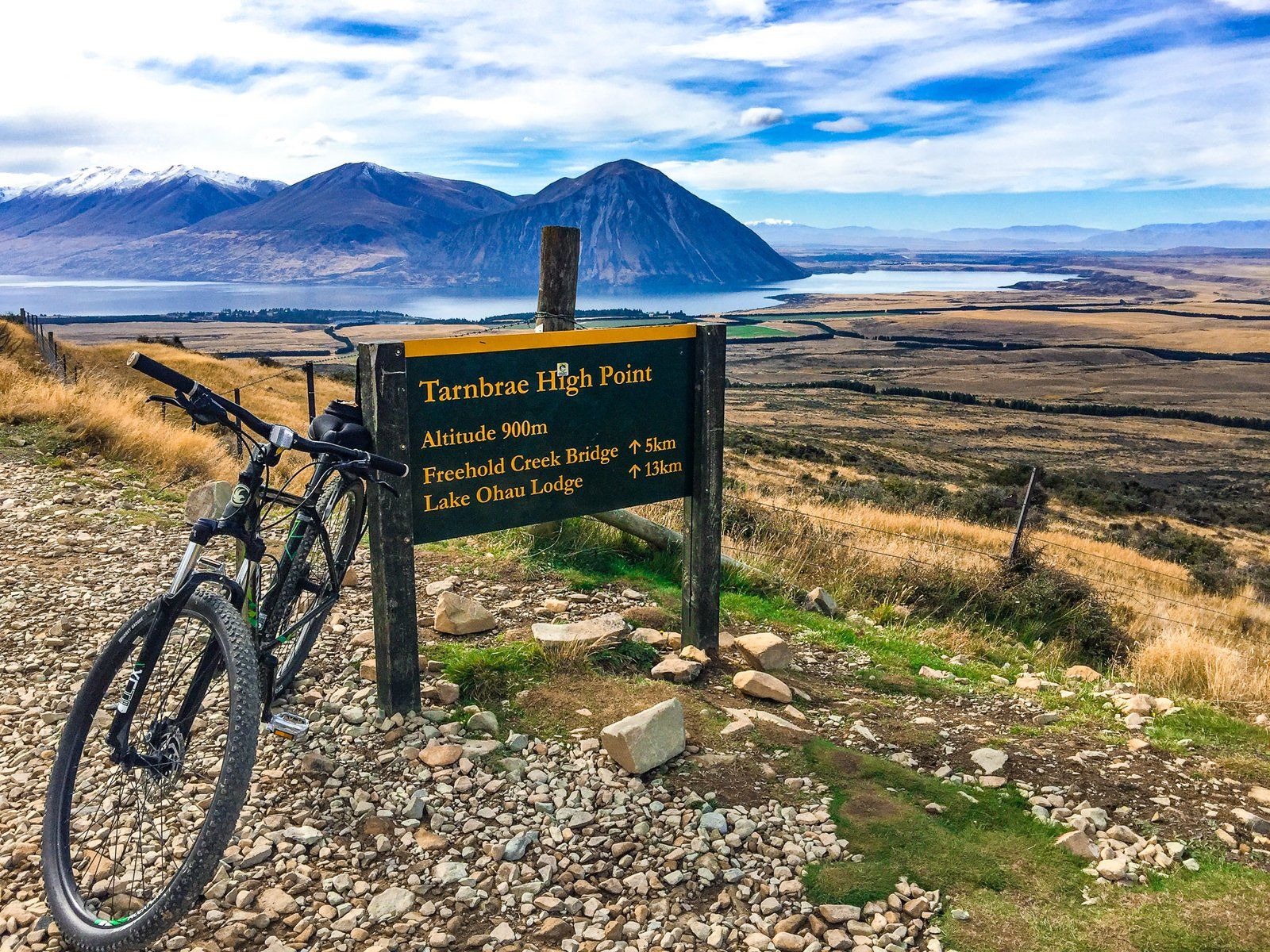
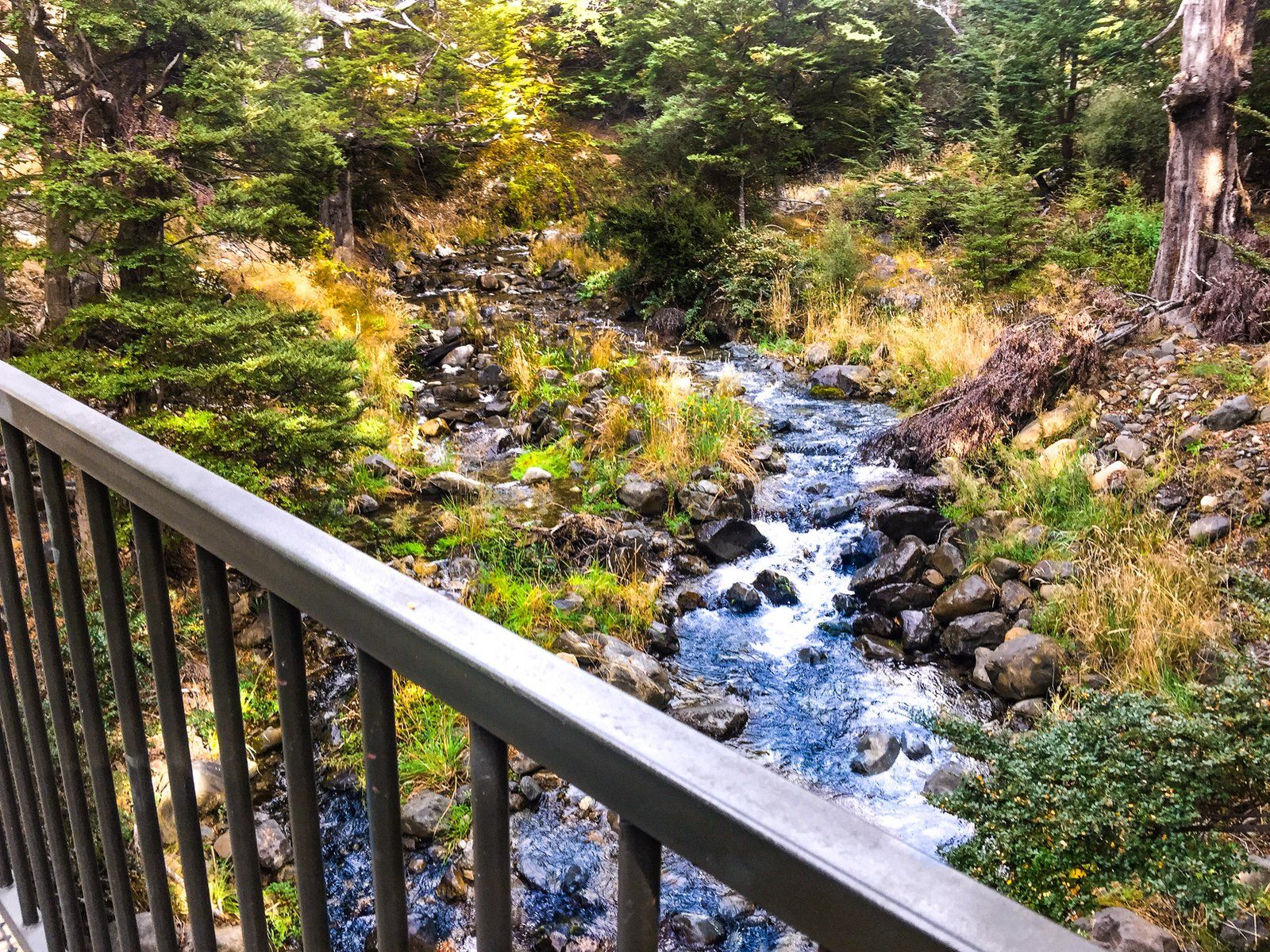
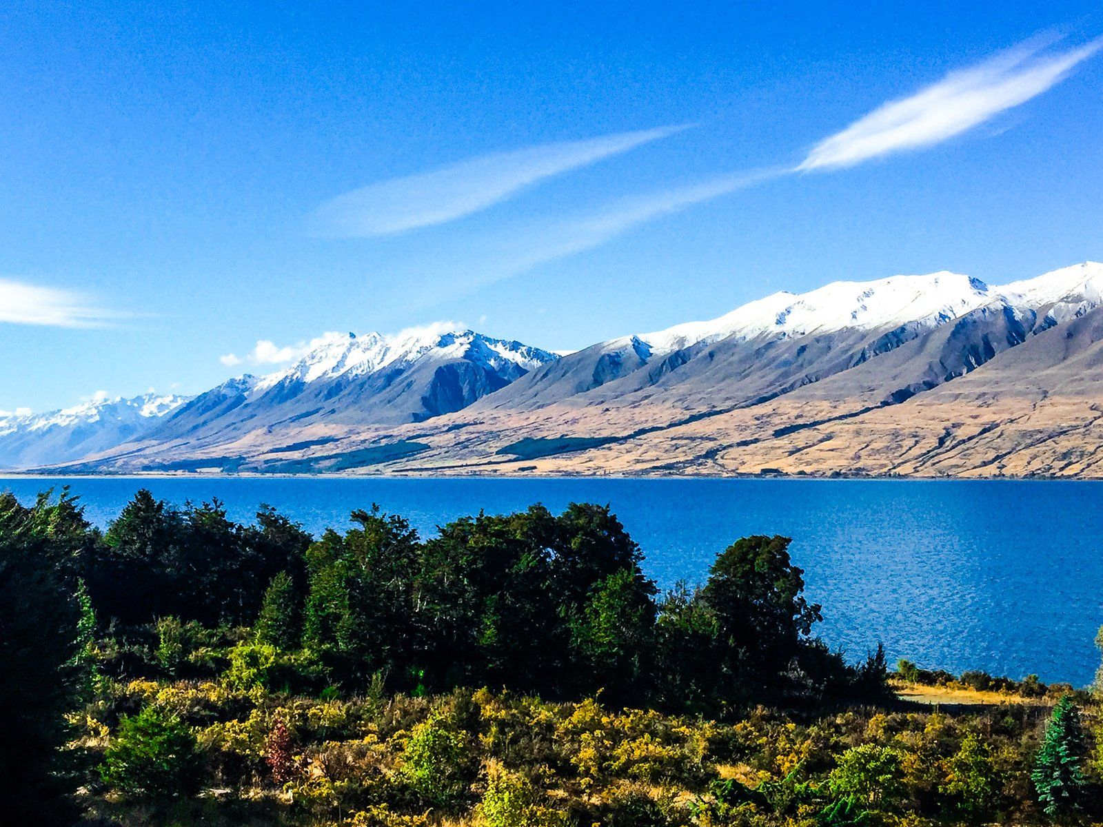
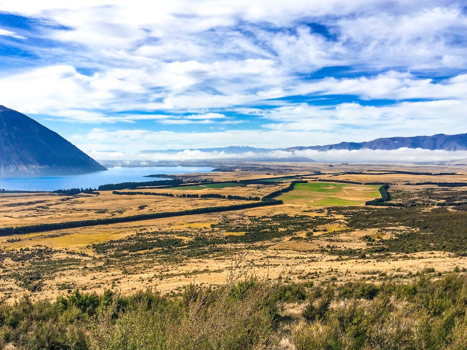
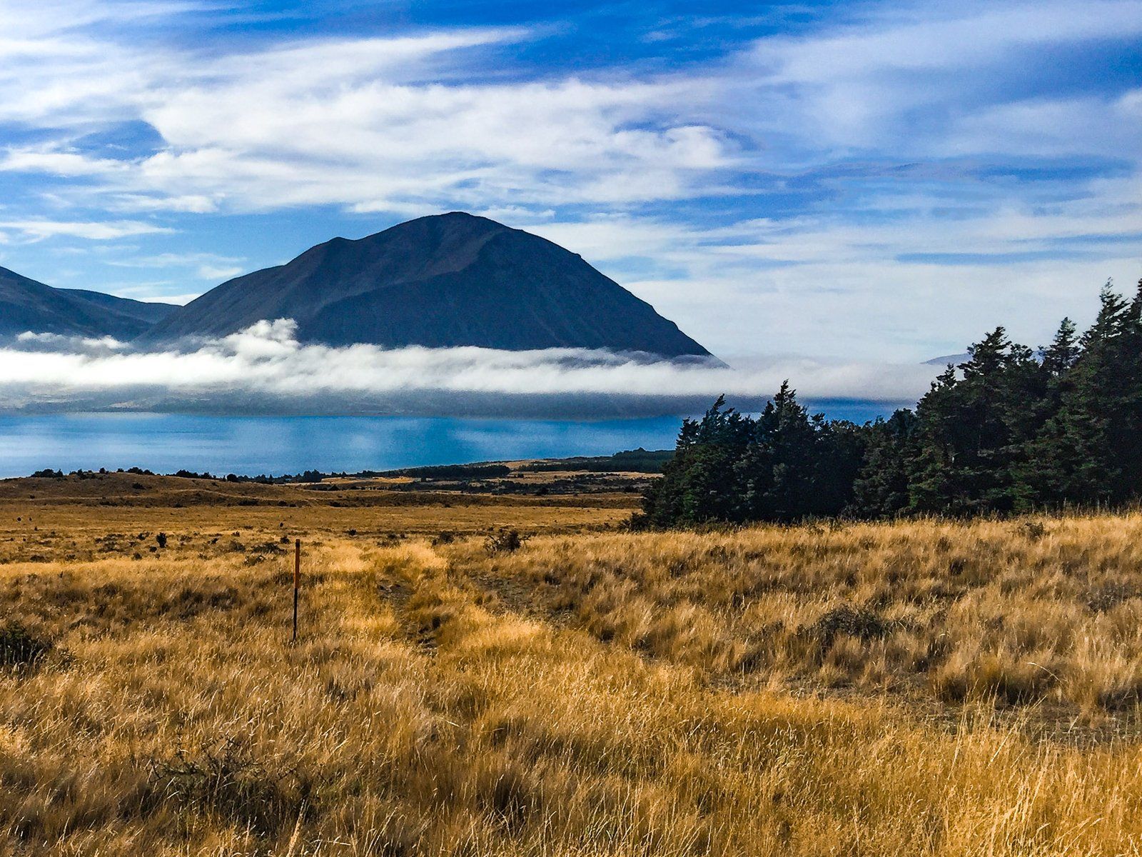
It rises from around 540 metres at Lake Ōhau Lodge to 900 metres at its highest point, 13 km along the track. The track starts in tussock grasslands, has a short section through remnant beech forest near Freehold Creek, and is mainly tussock to the high point. For most of the track, the views over the lake and the Mackenzie Basin are unobstructed and fabulous.
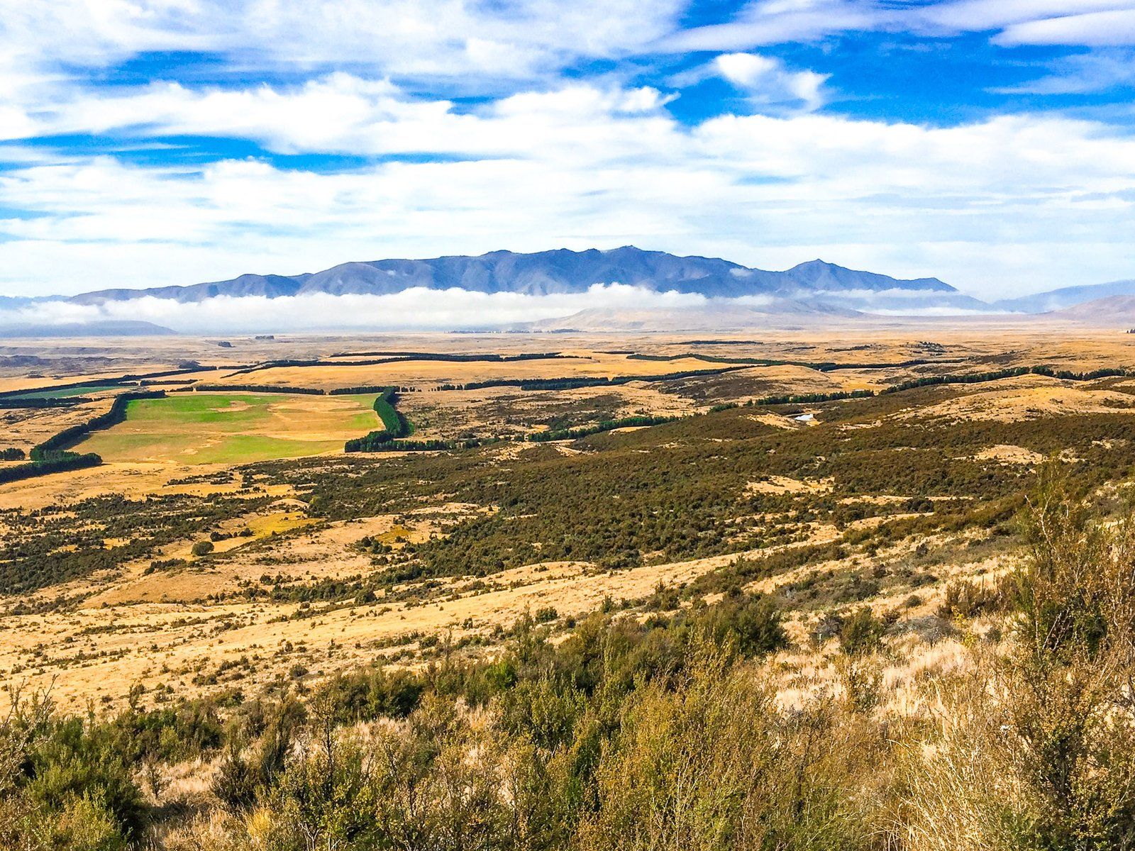
From the high point, the track drops quite quickly to the flats at the base of the range. The track then passes along the edge of the Ōhau Moraines Wetland for four km to Quailburn Road. There, you can take a short detour to the Quailburn historic site. There is a woolshed, sheep dip, homestead, and some hut ruins dating from 1866. These were part of Benmore Station, one of the largest sheep stations during the 1870s.
There is also a DOC campsite at Quailburn and the short Quailburn Track up the Quail Burn. This starts at the end of the road.