Routeburn Falls is typically an overnight stay on the Routeburn Track, but it can be done as a day trip. The walk starts at Routeburn Shelter at the end of Routeburn Road. It is exceptional and takes about three hours each way. To access the track, consider staying overnight at Kinloch or Glenorchy on Lake Wakatipu to minimise pre-walk travel time.
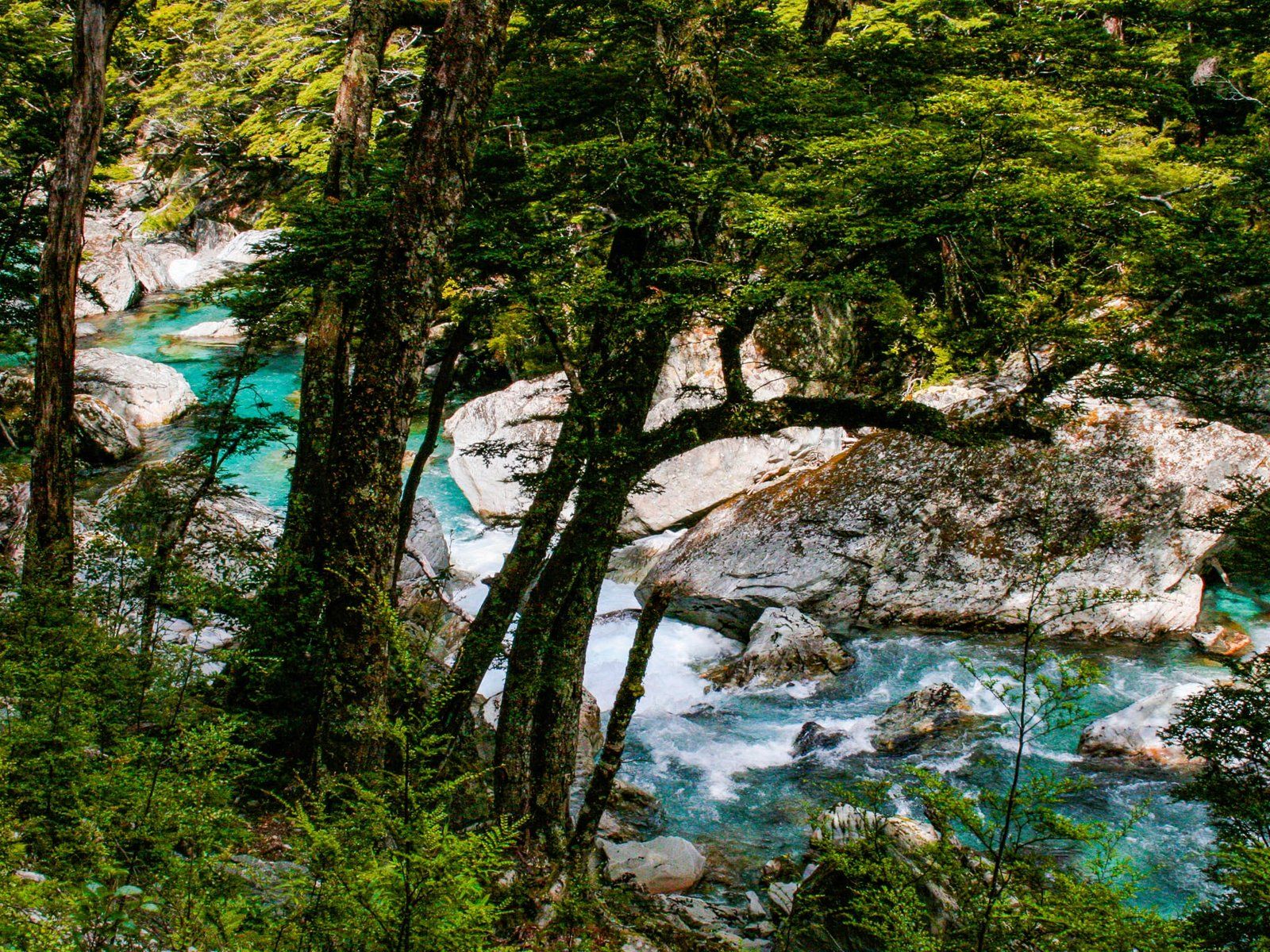
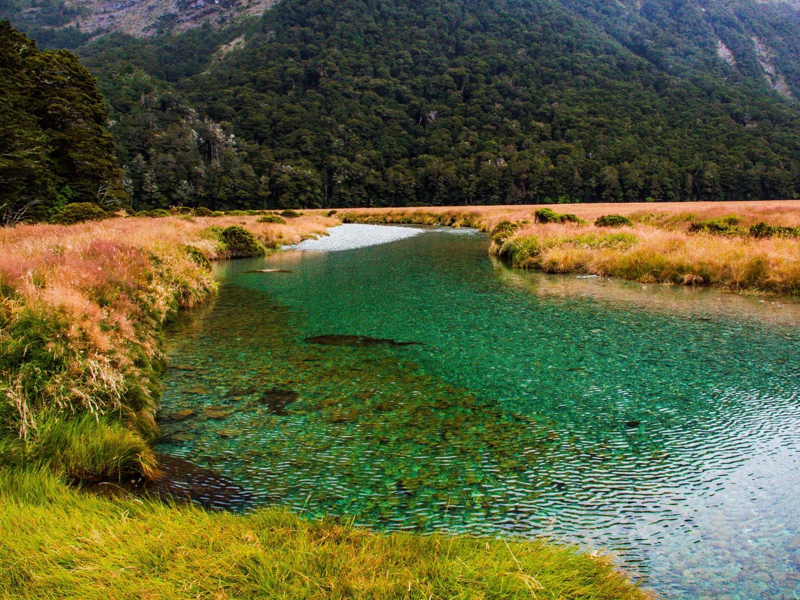
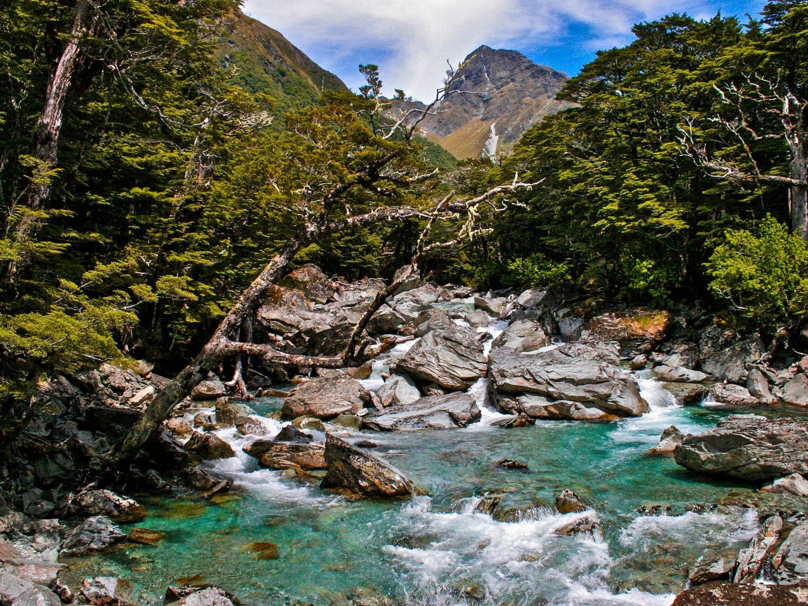
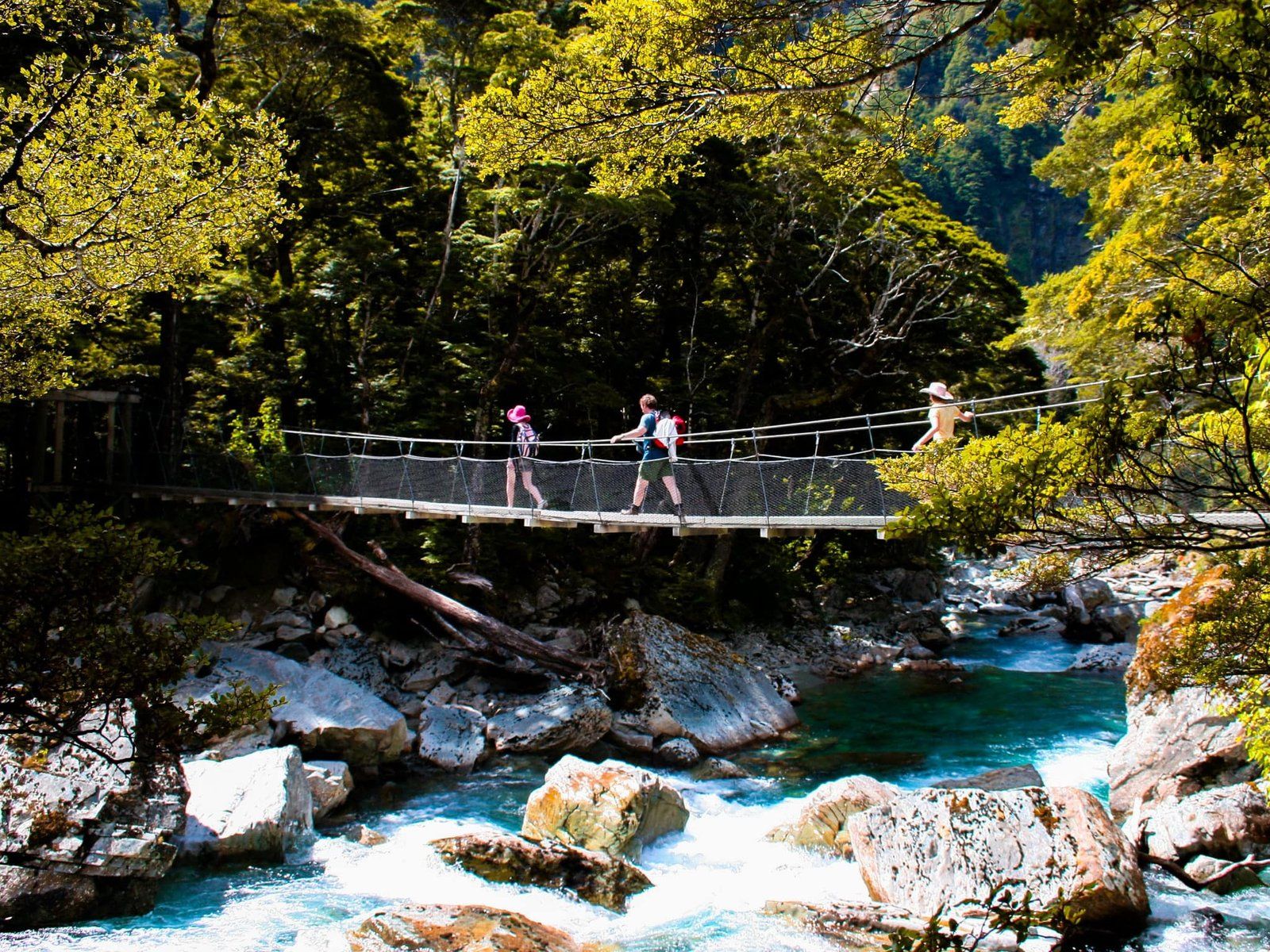
The first part of the walk follows the Route Burn (stream) for just over six km to Routeburn Flats, where there is a hut and campsite. This section is an easy walk, mostly surrounded by beech forest and gaining only 200 metres in height. The stream is attractive, with turquoise colours and tumbling rapids. It is also accessible, with beaches in a couple of places. At one point, a bridge crosses another stream that flows from a steep gorge into the Route Burn. This gorge is used for guided canyoning trips.
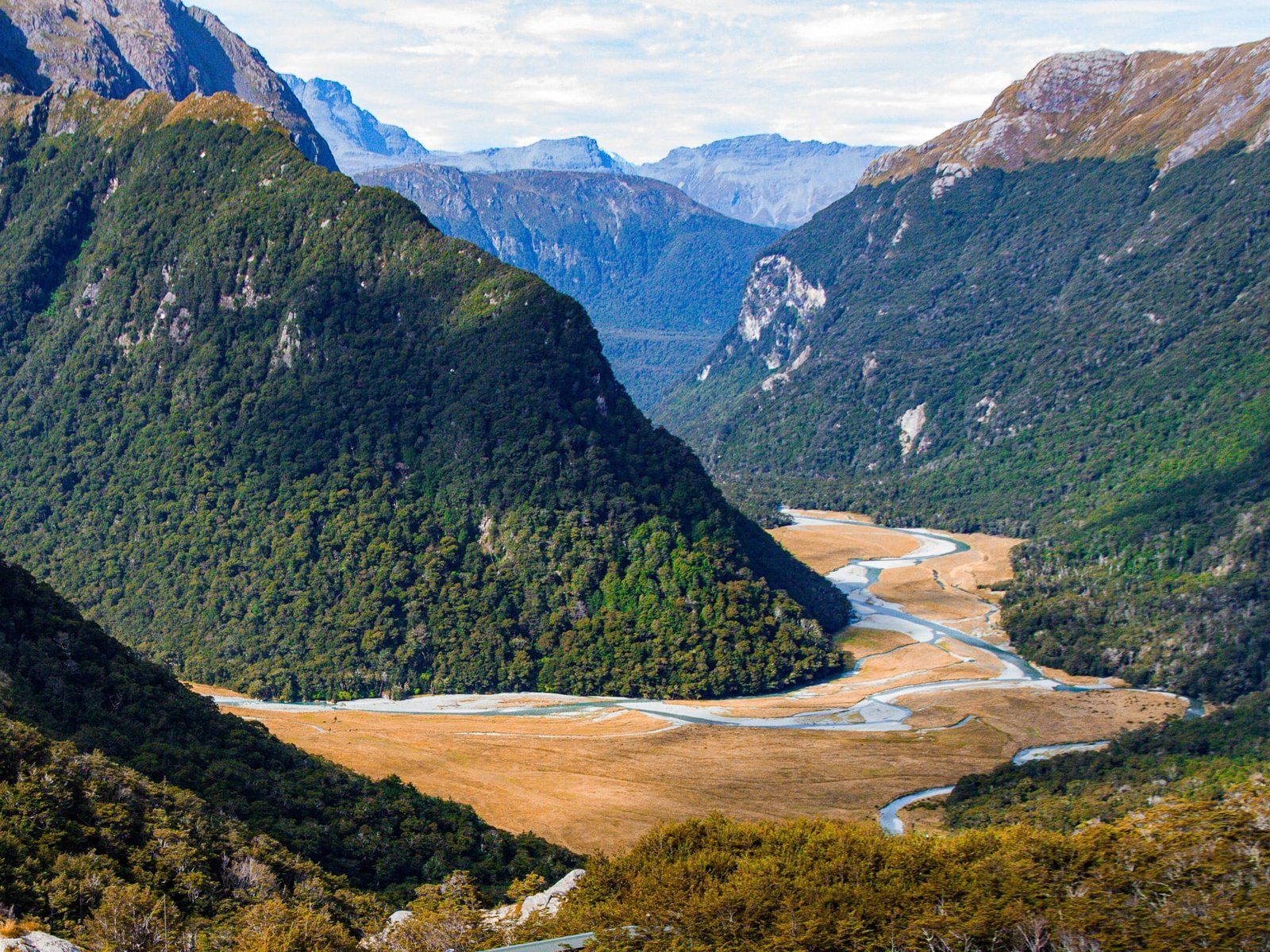
It takes about 90 minutes to two hours to get to Routeburn Flats, with its stunning meadow campsite, bisected by the Route Burn and surrounded by mountains and beech forest. It’s a great spot for a picnic and a good place to turn around if time is limited.
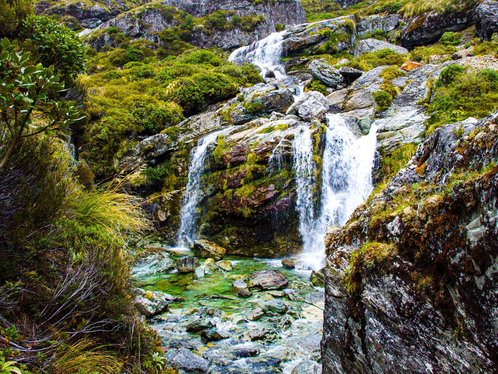
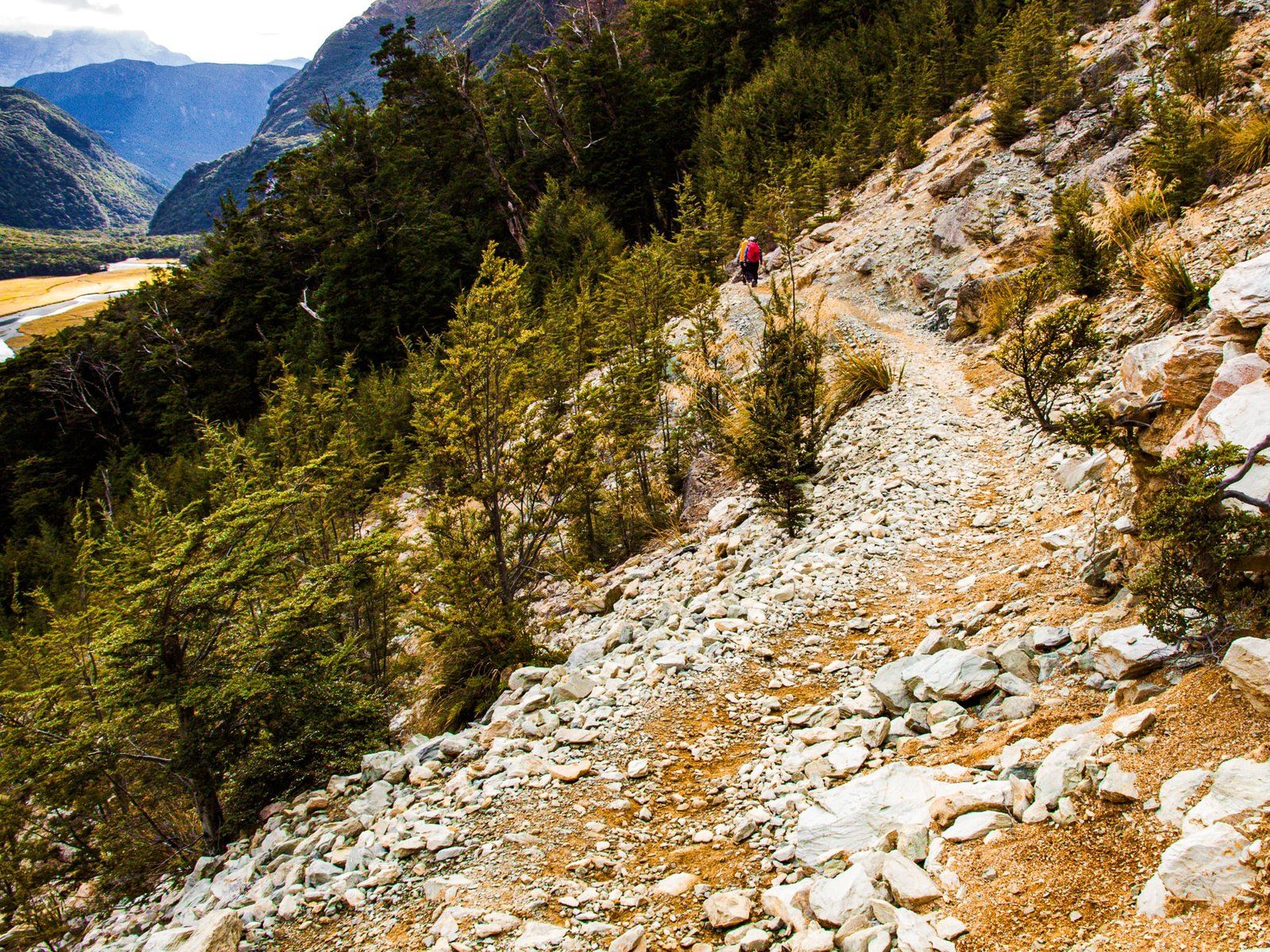
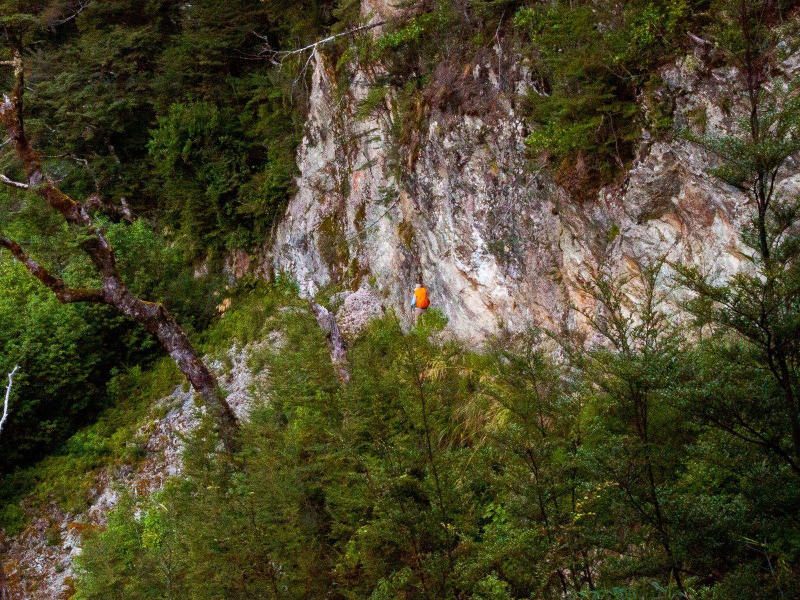
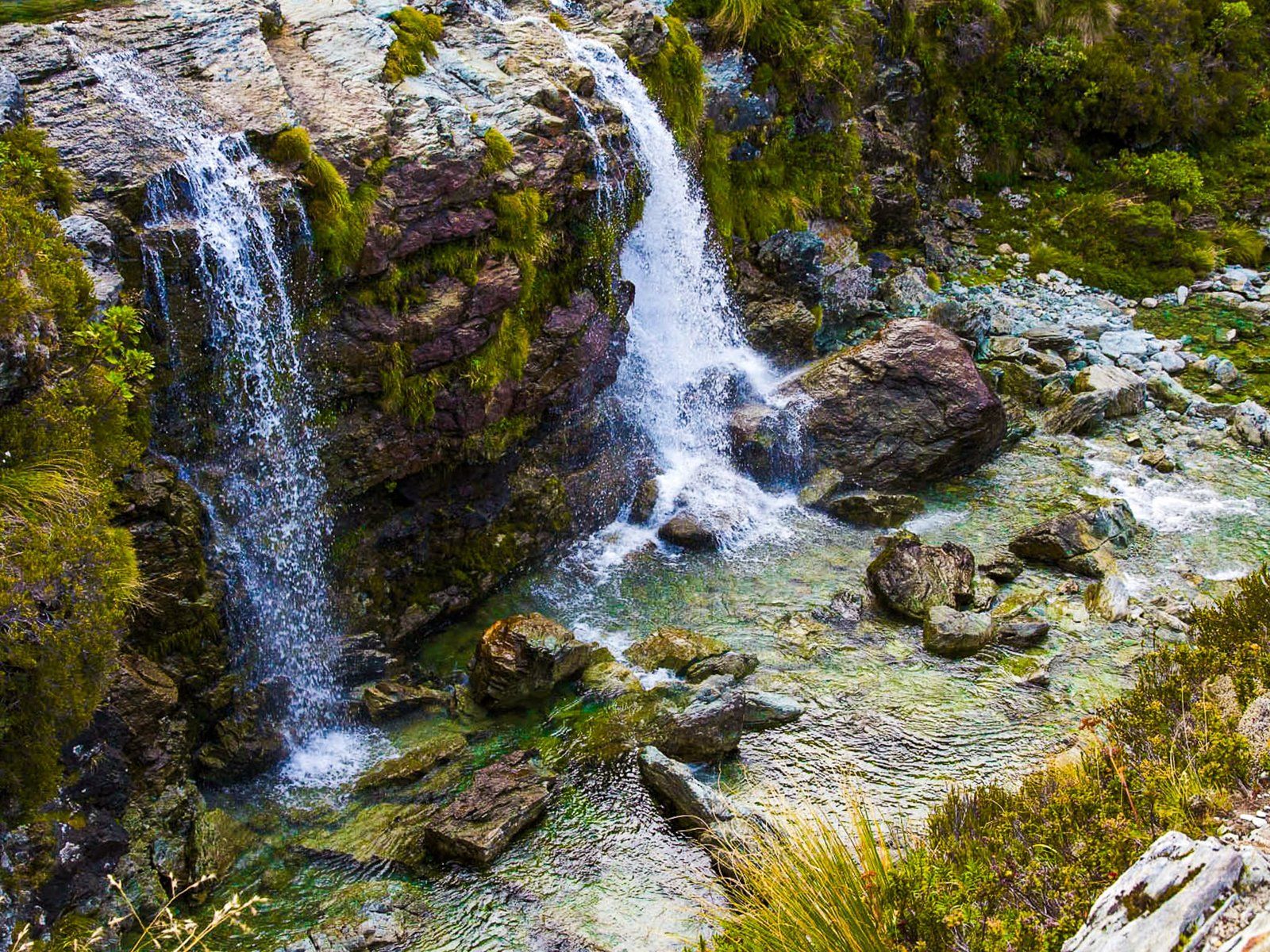
It is a two-and-a-half km walk from the Flats with a 200-metre climb to the Falls. Although most of the height gain is in the first kilometre, it remains relatively easy. In any event, the views back over the Flats and down the valley are spectacular. About halfway up, the track crosses an old slip area, which is particularly open. After 45 minutes, you will see the DOC Routeburn Falls Hut and a private lodge. The Falls are easy to find just to the north of the buildings and accessible. Weirdly, Topo Maps claim the falls are 176 metres high, but they are about 20 metres. Perhaps they are allowing for the cascading drops of the Route Burn below the Falls down to Routeburn Flats.