The Otago Peninsula (Muaūpoko) is a top South Island destination for those who want a remote experience by day and city comfort by night. It sits between Otago Harbour and the Pacific Ocean, on the South Island's east coast, at the north end of Dunedin City.
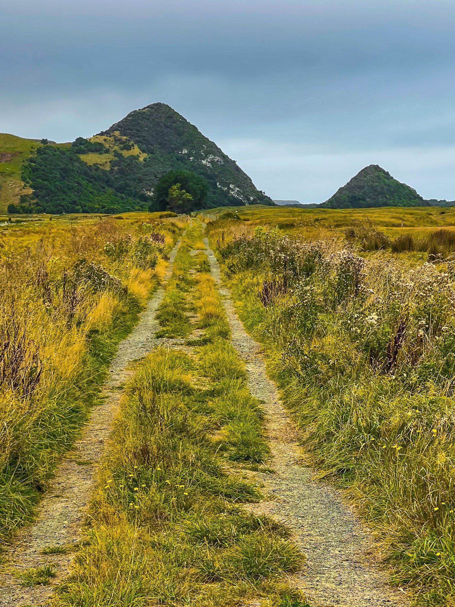
The terrain is mostly steeply rugged hills created by the eroded remains of half of an ancient multi-vent shield volcano, the Dunedin Volcano. This was active between 10 and 16 million years ago and is now heavily eroded. The other half of the ancient volcano is the range of hills on the northwest side of Otago Harbour, including the high point at Mt Cargill. The harbour was once a large part of the volcanic core. A notable feature of the Peninsula is the almost perfectly formed Harbour Cone, an obvious pointer to one of the vents over 10 million years ago.
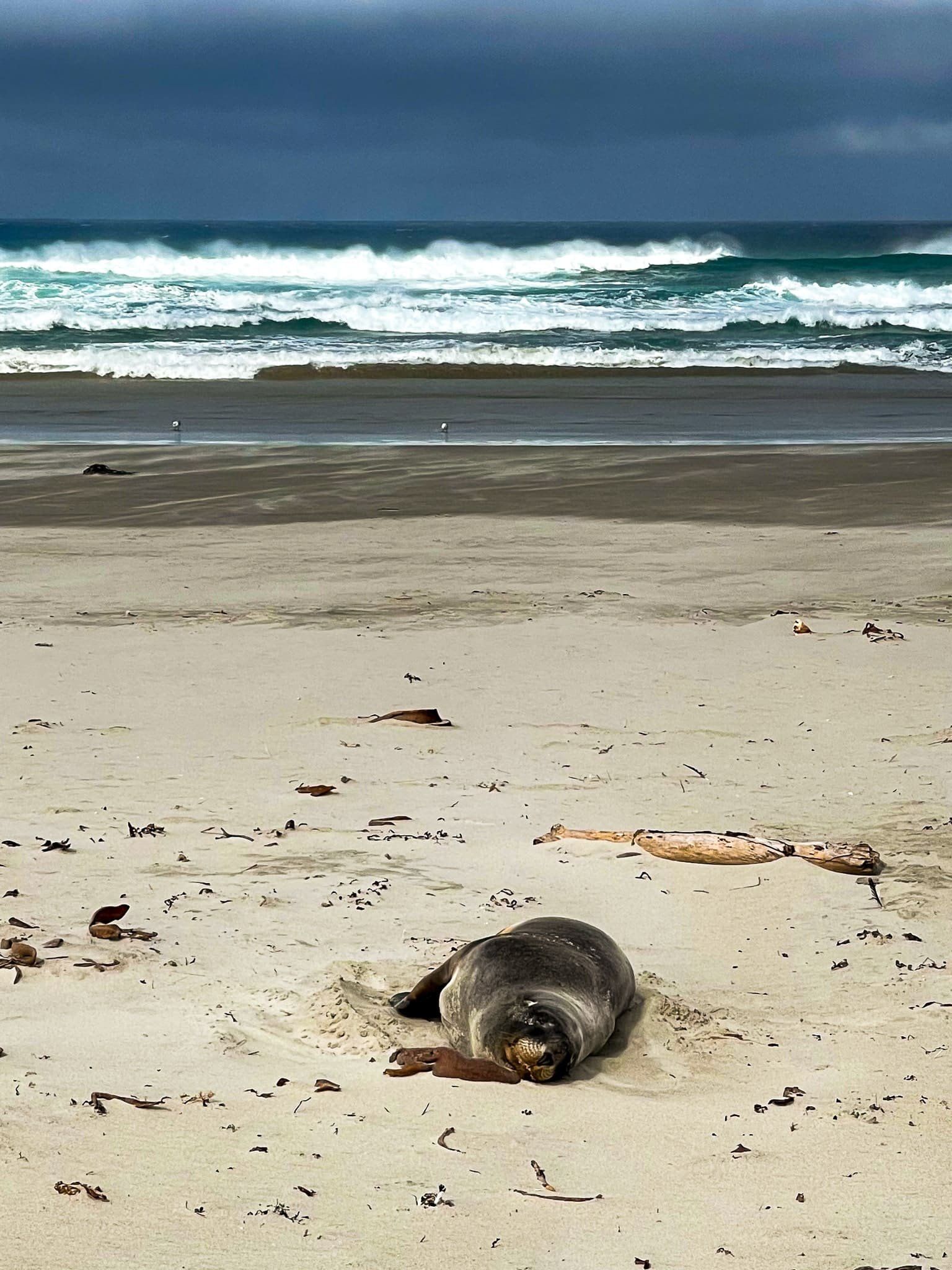
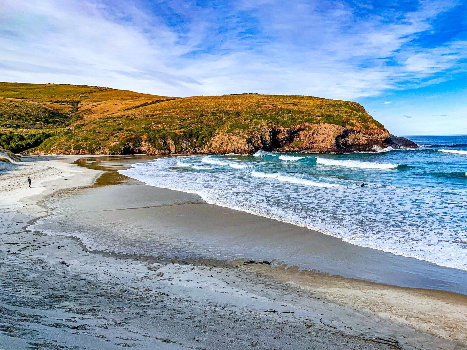
The Dunedin suburbs of Waverly and Andersons Bay are at the south end of the Peninsula, and a few villages are scattered up Portobello Road on the harbourside. But once you’re up on Highcliff Road, accessible from Portobello or Waverley, it’s a rural backcountry. There are few people, fabulous views, and access to several beautiful ocean surf beaches, with sea lions, seals, and rare yellow-eyed penguins (hoiho). Be willing to be there at dawn or dusk to see penguins. The northern point of Taiaroa Head is the only mainland albatross breeding ground in the world, although there is a fee for access to the viewpoint.
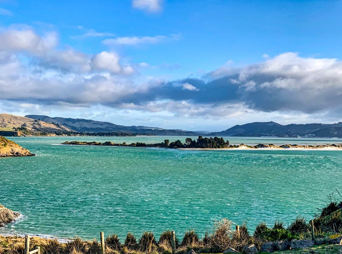
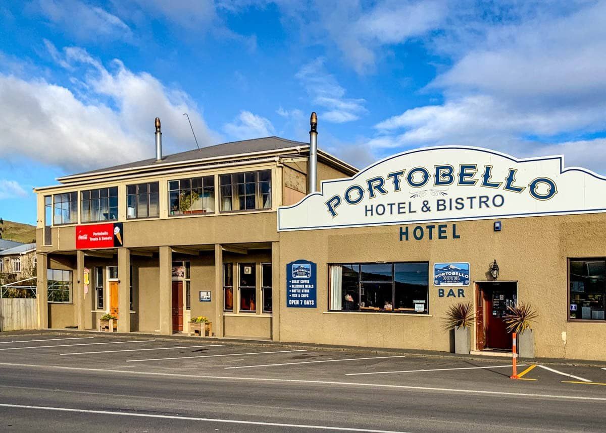
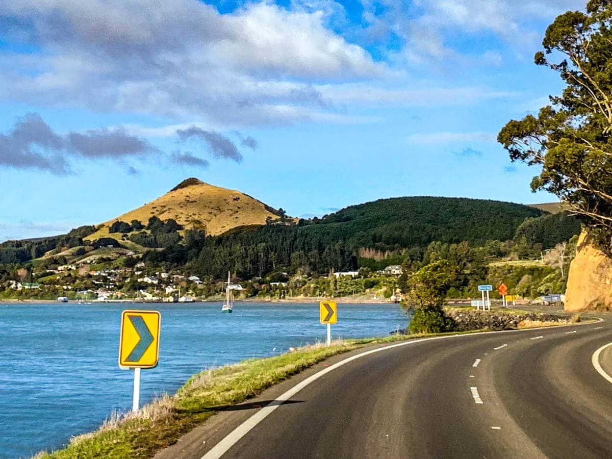
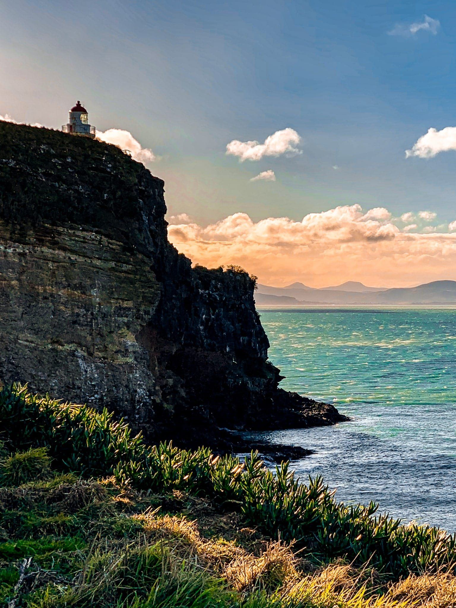
To explore the Peninsula, start on Portobello Road from Andersons Bay inlet and follow the harbour coast. There is also a shared walking and cycling track. From Portobello, continue on the coast on Harrington Road to the end at Taiaroa Head. Along the way, there are several small bays to stop at and the pretty village of Portobello. Portobello has a mini peninsula, at the end of which is the Portobello Marine Laboratory, part of the University of Otago. Quarantine Island / Kamau Taurua is just beyond the peninsula. Tairoa Head is worth the visit even if you don’t pay to see the albatross, with fabulous views to Aramoana and from the cliff edge over the ocean to the north.
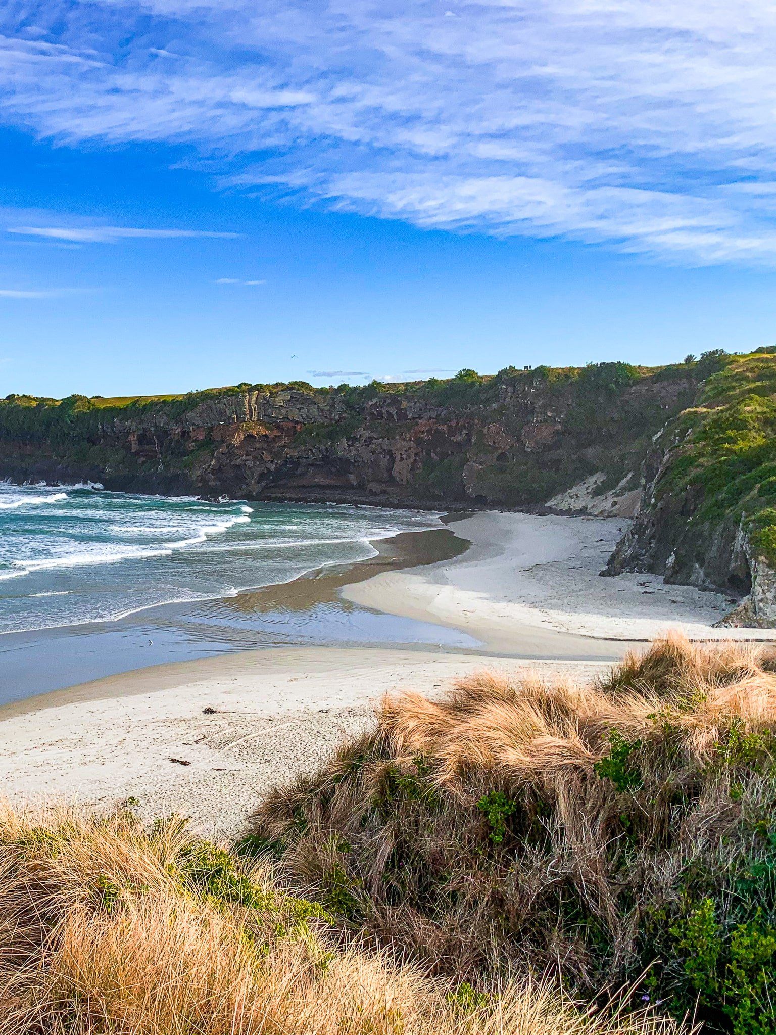
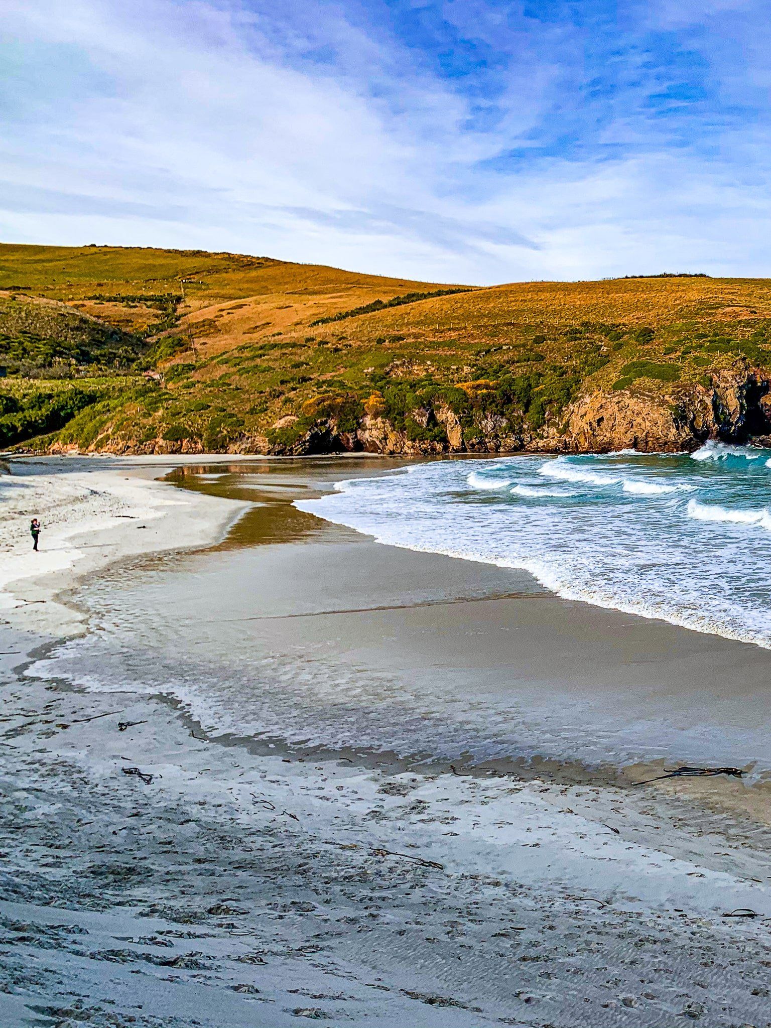
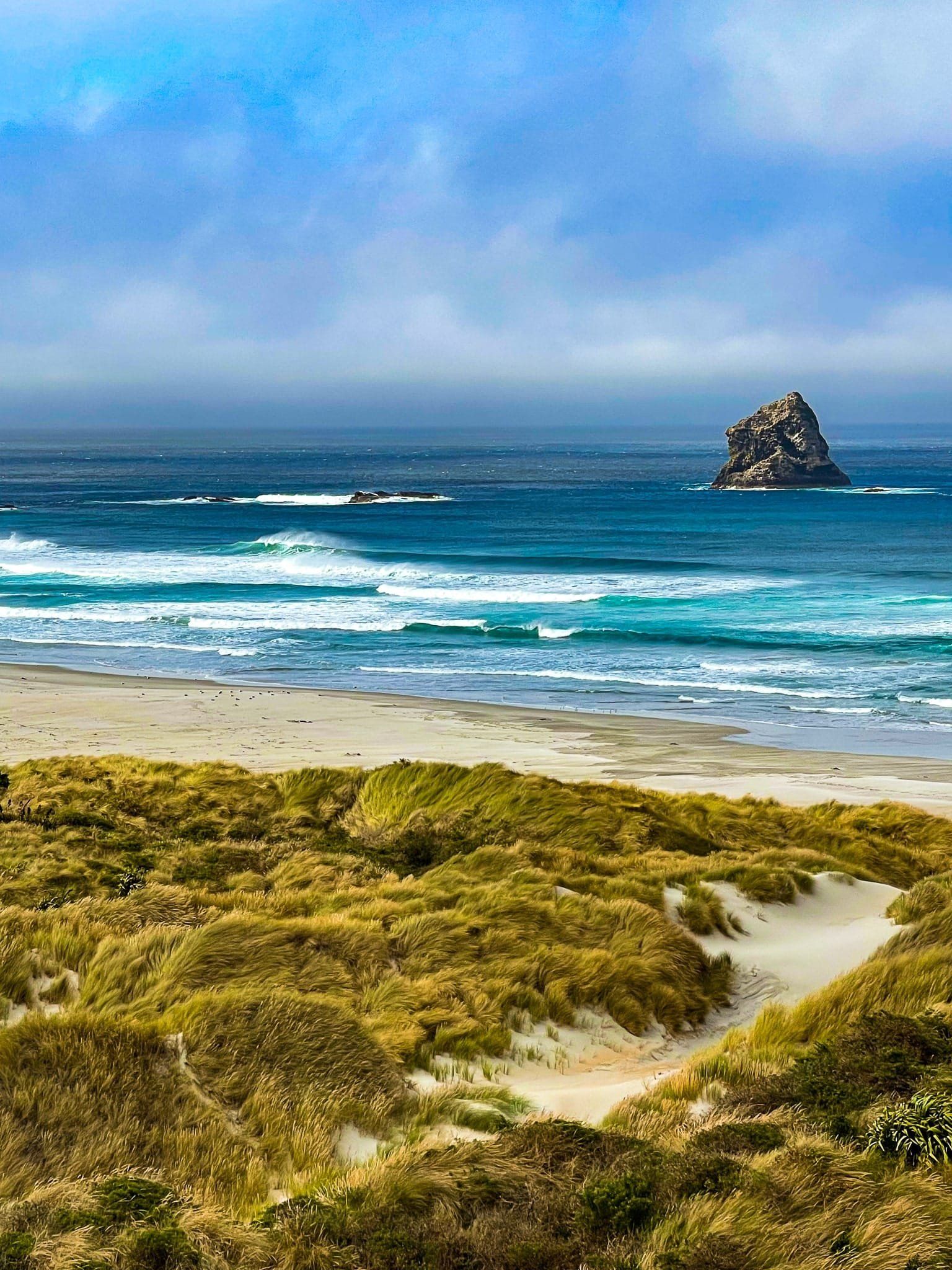
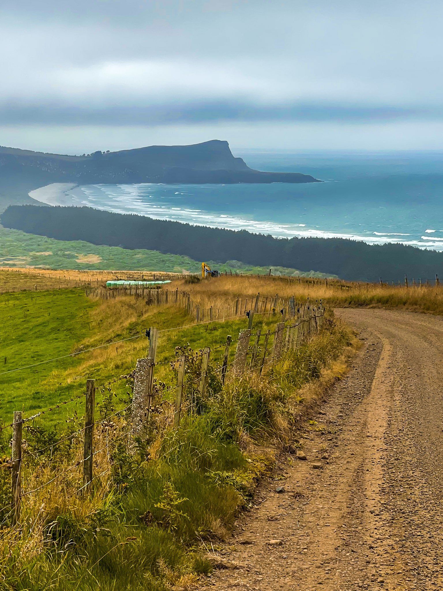
Return to Portobello and head inland on Allans Beach Road. Follow this to the beach. Don’t stand on a sea lion! You can also take a detour and one-hour return walk to even more remote Victory Beach (named for a shipwreck in the 1800s). Then connect with Highcliff Road at Portobello. This narrow, windy road climbs steeply around Harbour Cone to a 240-metre-high ridge above Hooper Inlet. From there, access the best walks on the peninsula at Sandymount and Sandfly Bay. Look out at Lovers Leap from the edge of a 240-metre cliff on the Sandymount loop walk.
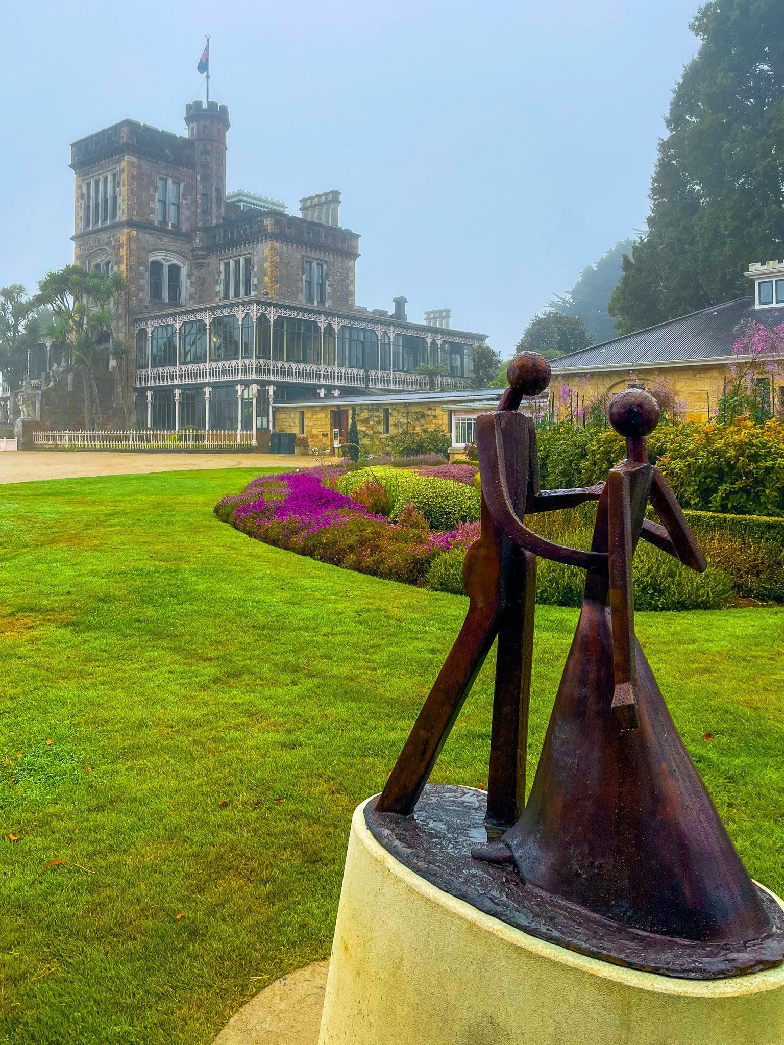
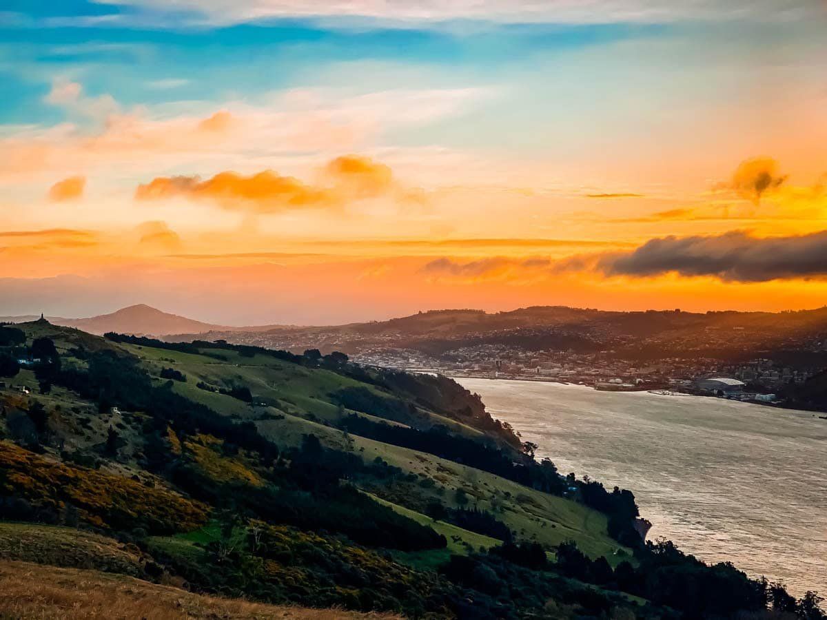
Continue to arrive at the high point of the road at Highcliff (300 metres). The views across the harbour to Dunedin are superb, and there are walking options from the ridge to the Pacific coast. A side trip also takes you to Larnach Castle, the only castle in NZ and worth a couple of hours or so to visit the gardens and interior.
If you have limited time, do Portobello Road and Highcliff Road as a loop, with a stop at Sandymount for one of the walks, about three hours. If you want to explore it all, allow about three days!