Lovers Leap is about halfway around the Sandymount Loop. The track goes around the base of the mount, connecting with another to Sandfly Bay and with the hike to the top.
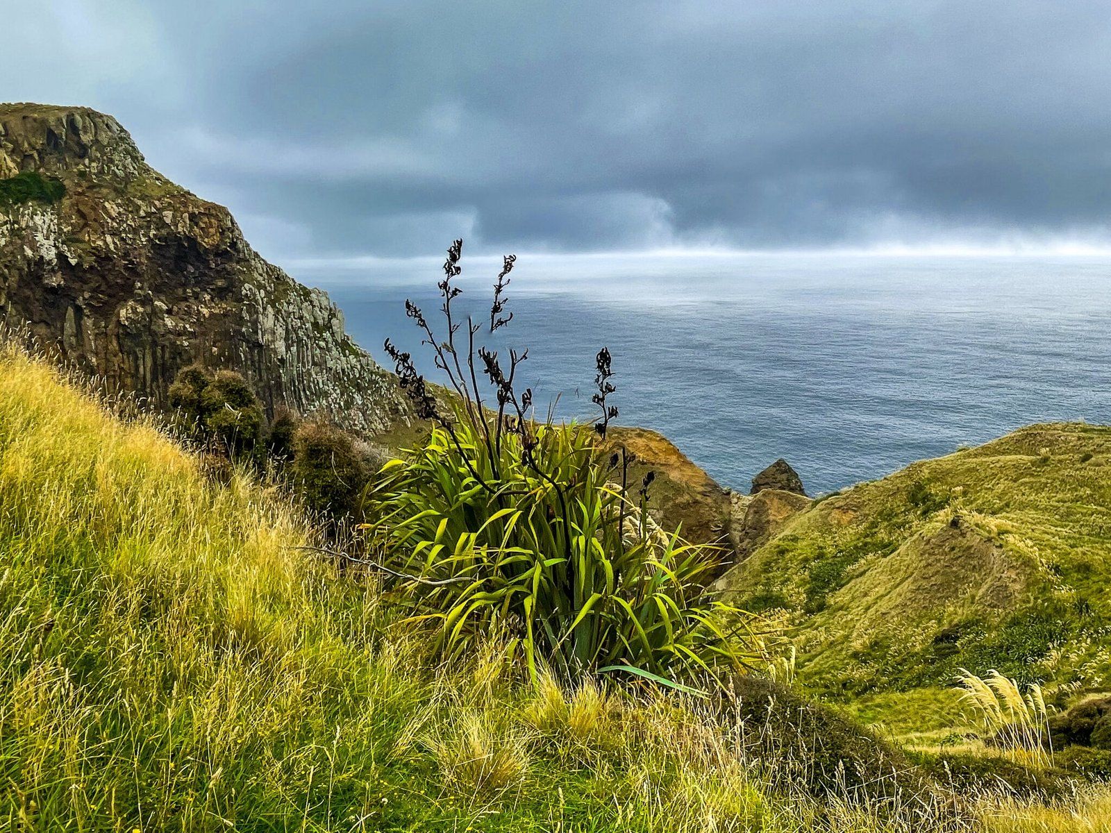
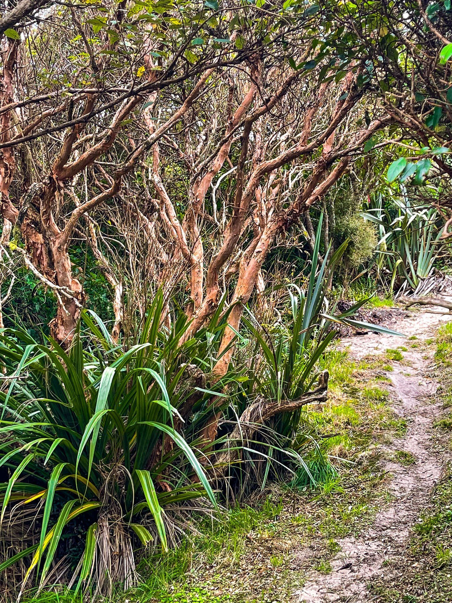
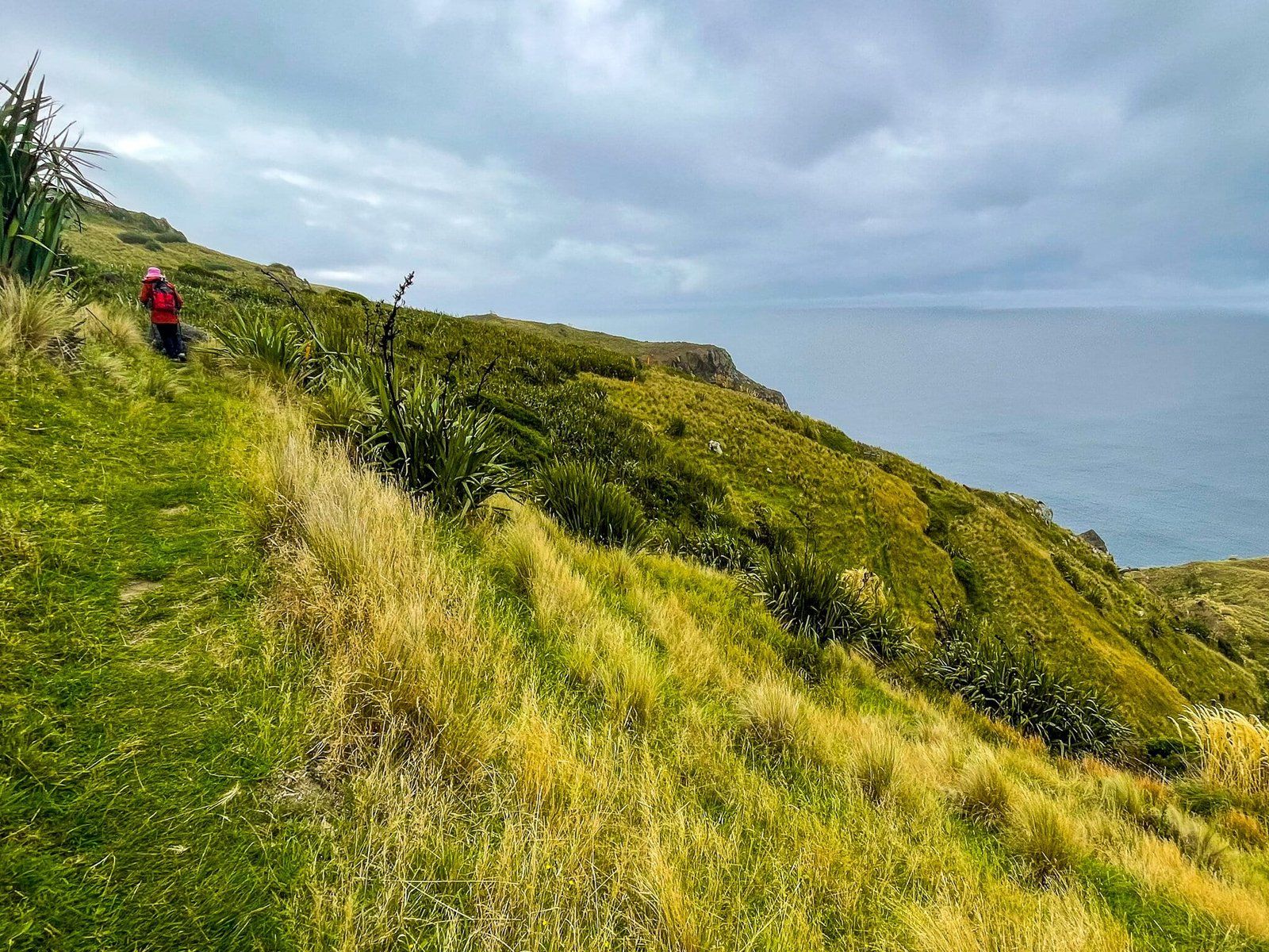
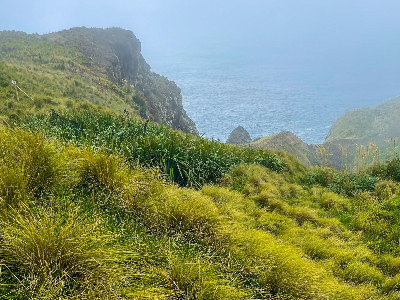
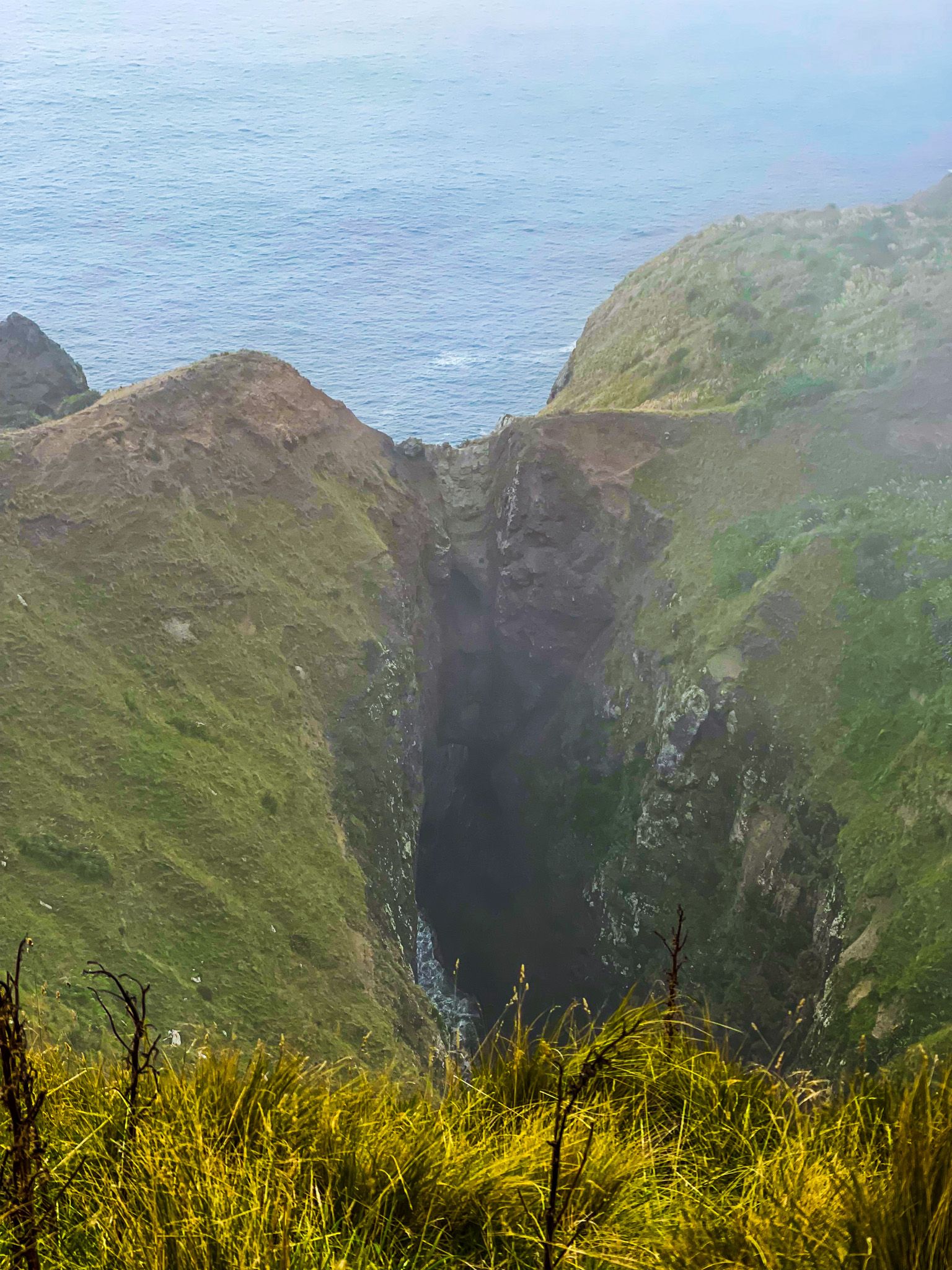
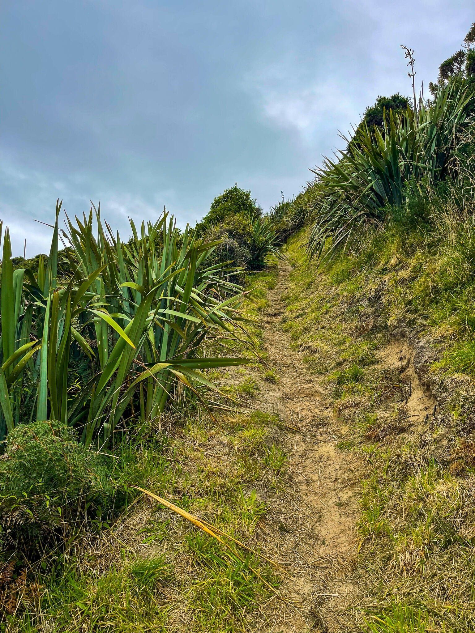
Walking from west to east, it initially passes through a pretty section of regenerating forest. It then opens onto a steep grassy slope below the mount, with superb views down to the coast. From here, continue on to find Lovers Leap, a natural bridge. It is marked on Topo Map, Google and the DOC website, but there is no signpost, and you can’t see it from the track, nor is there an obvious set of footprints to follow in the grass. If you were to do the walk without knowing it was there, you would miss it!
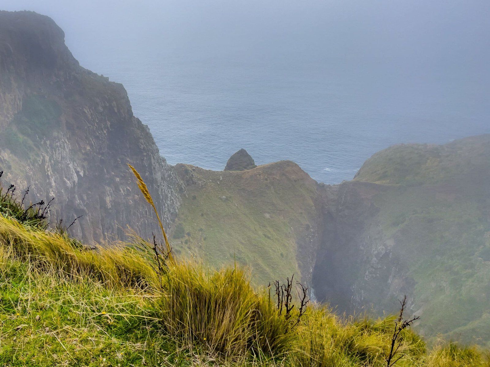
To be sure of finding it, head off the trail towards the coast once the slope flattens out. After about 20 to 40 metres, you will realise you are walking towards a cliff edge, but you will see it well before it becomes risky. As you get closer to the edge, you should be able to see the cliff rolling away to the east and Lovers Leap practically in front of you. Unfortunately, we faffed around a bit figuring this out, and the fog rolled in just as we got to the best viewing position!