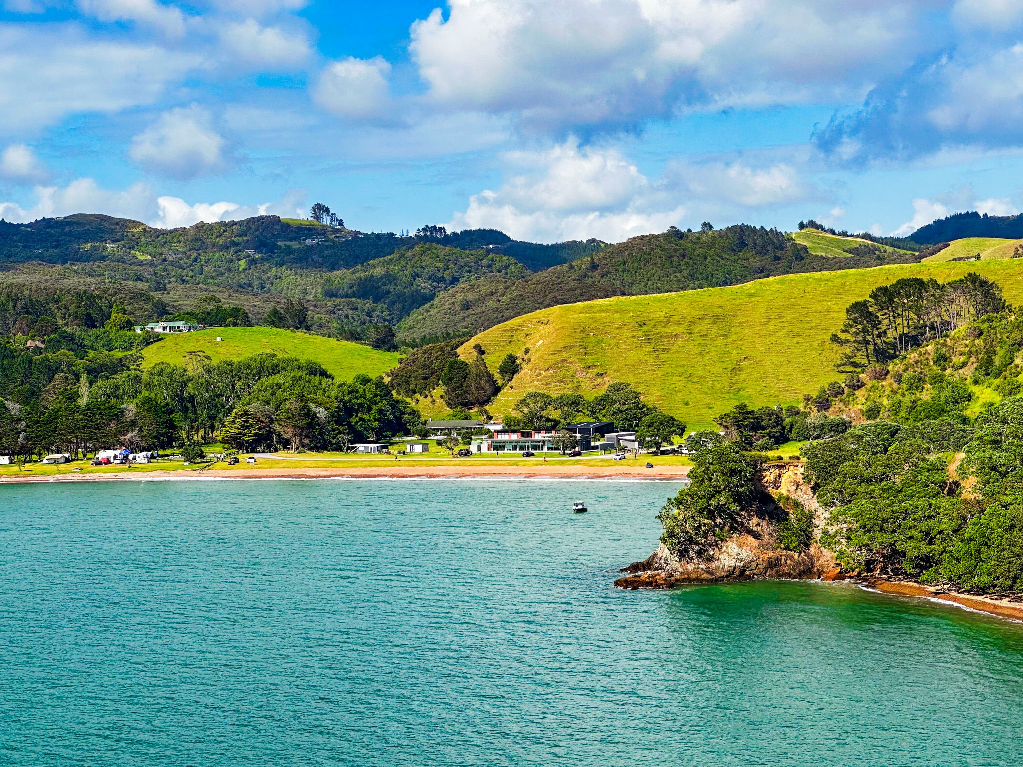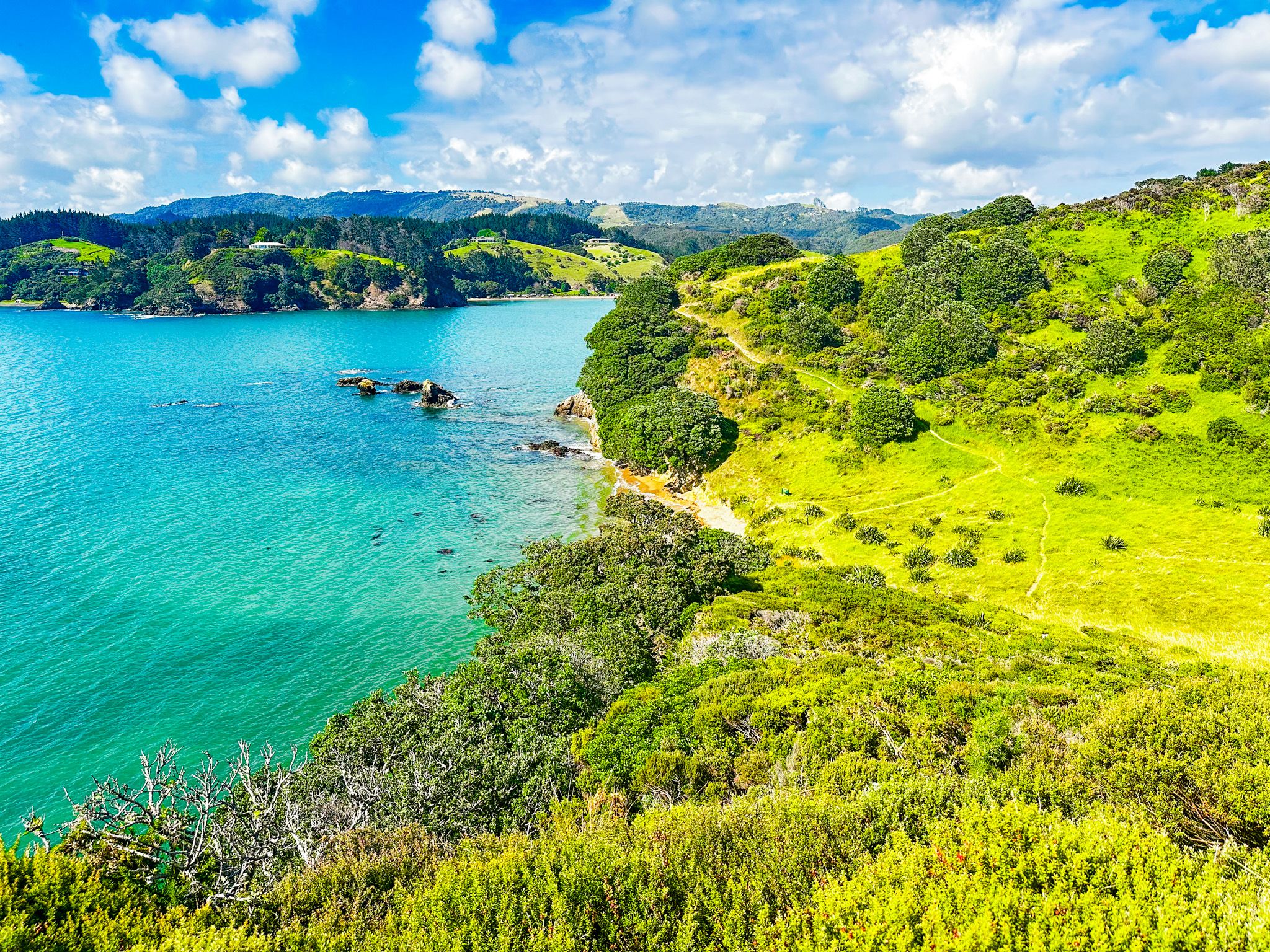
Mahinepua Penisula Track is a 3 km, 2-hour return walking track with spectacular views on the north side of Mahinepua Bay. The track starts at the end of Mahinepau Road in Mahinepua Bay, initially following a gated private road behind and above the beach to the start of the Mahinepua Peninsula. From there, the track enters the Mahinepua Scenic Reserve. The reserve was created when DOC took over the peninsula in 1978 when it was being farmed. Today, regenerating coastal shrubs and trees, including rare native mistletoe, cover much of the peninsula. Look for the mistletoe flowers around January.
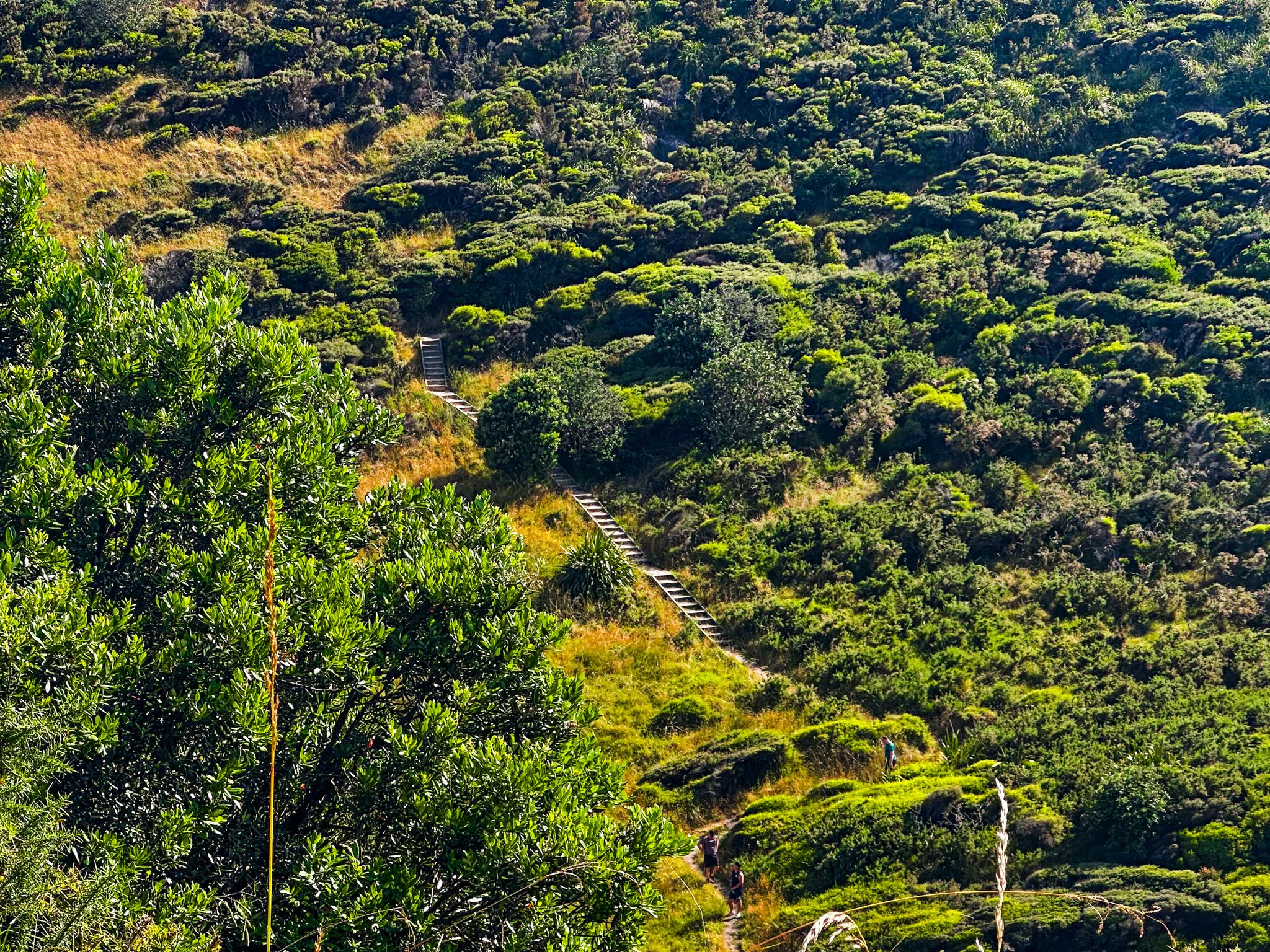
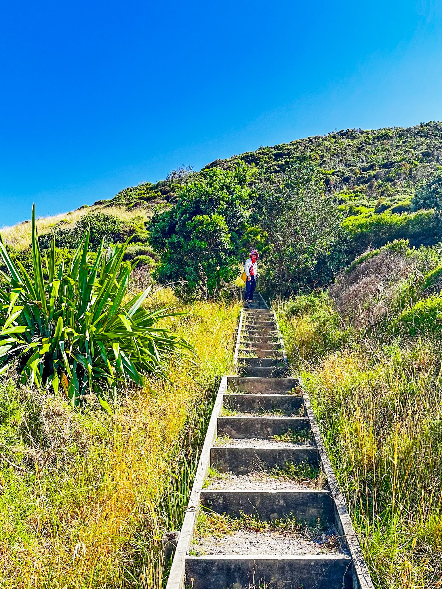
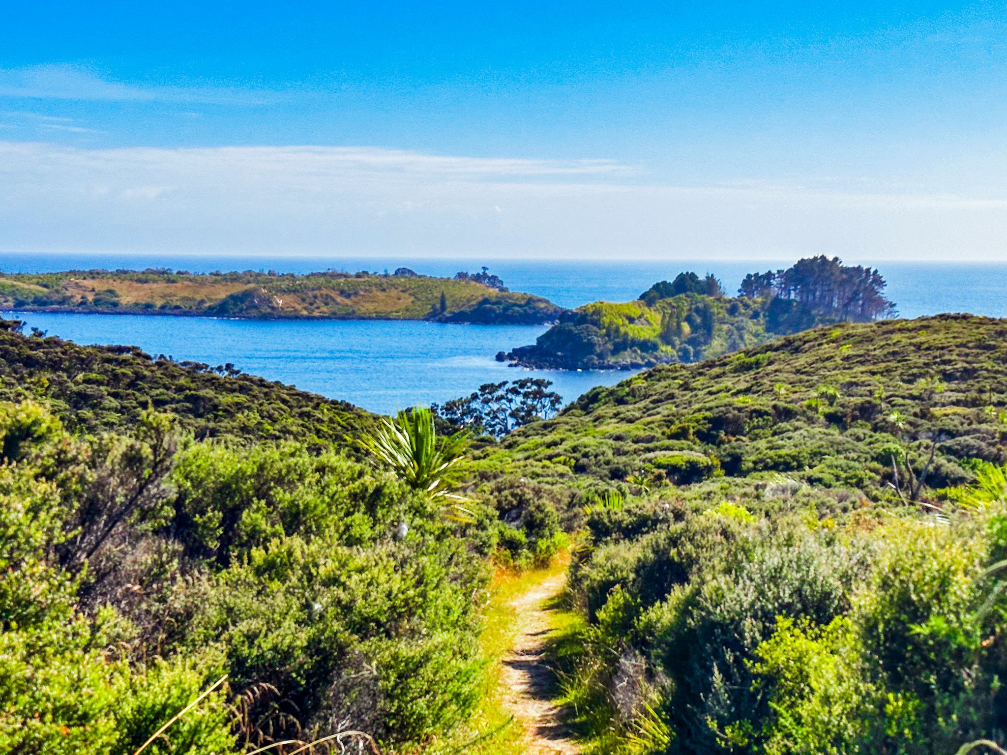
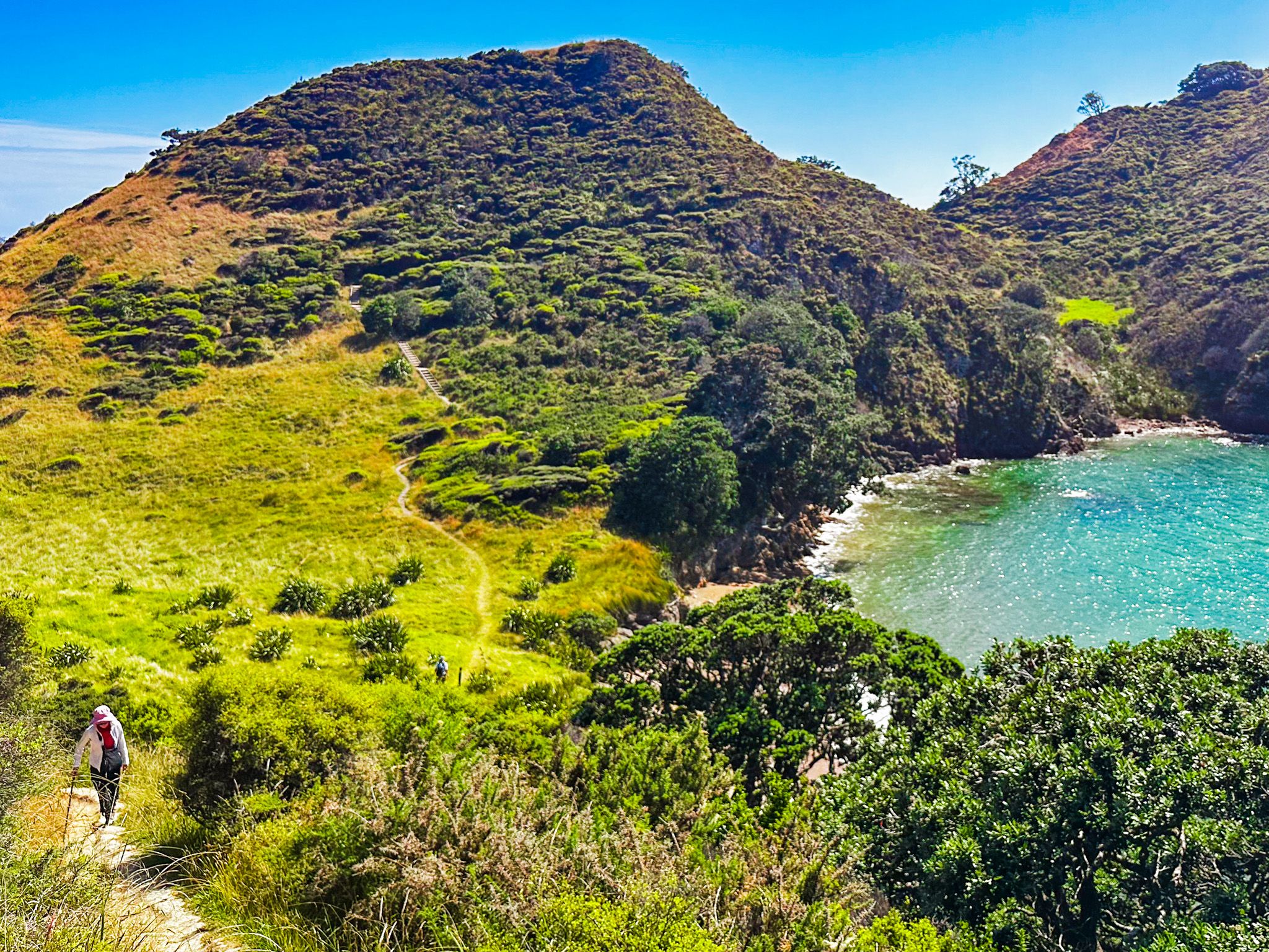
The track is a mix of gravel and clay with 200 formed steps to protect a significant pā site. There are a couple of steep sections over the 60 to 80-metre humps which are a feature of the peninsula. Steep drops in several places provide superb views but require care with small children. The clay sections may also be slippery if it’s wet.
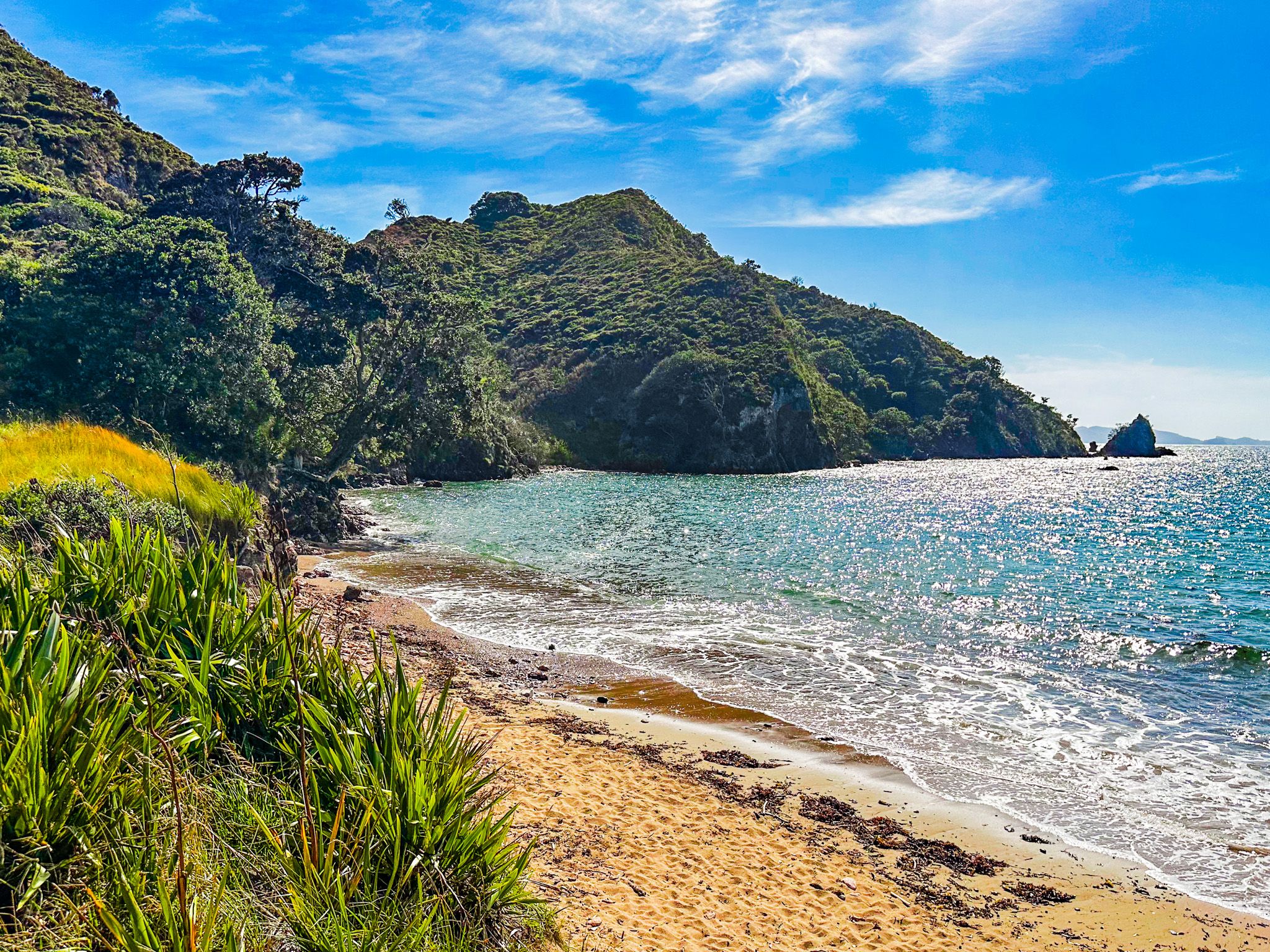
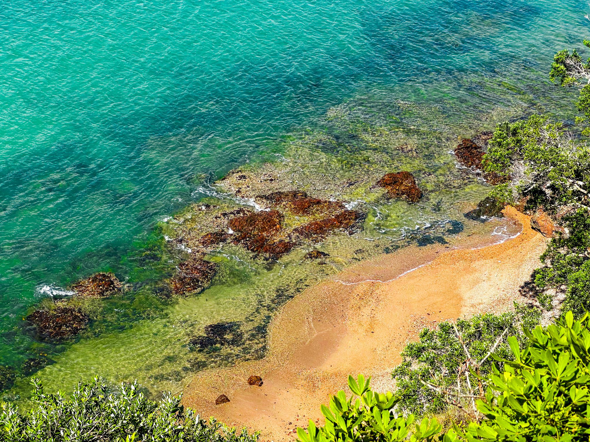
After the first hump, with fabulous views over the bay, there is a narrow, flat grassed section with small beaches on either side. The east side beach faces the bay and has golden sand, and the west side beach faces the ocean and is stony. The track then climbs a series of steps over a second hump at 78 metres to one of several pā sites. There is a large grassed area and more fantastic views.
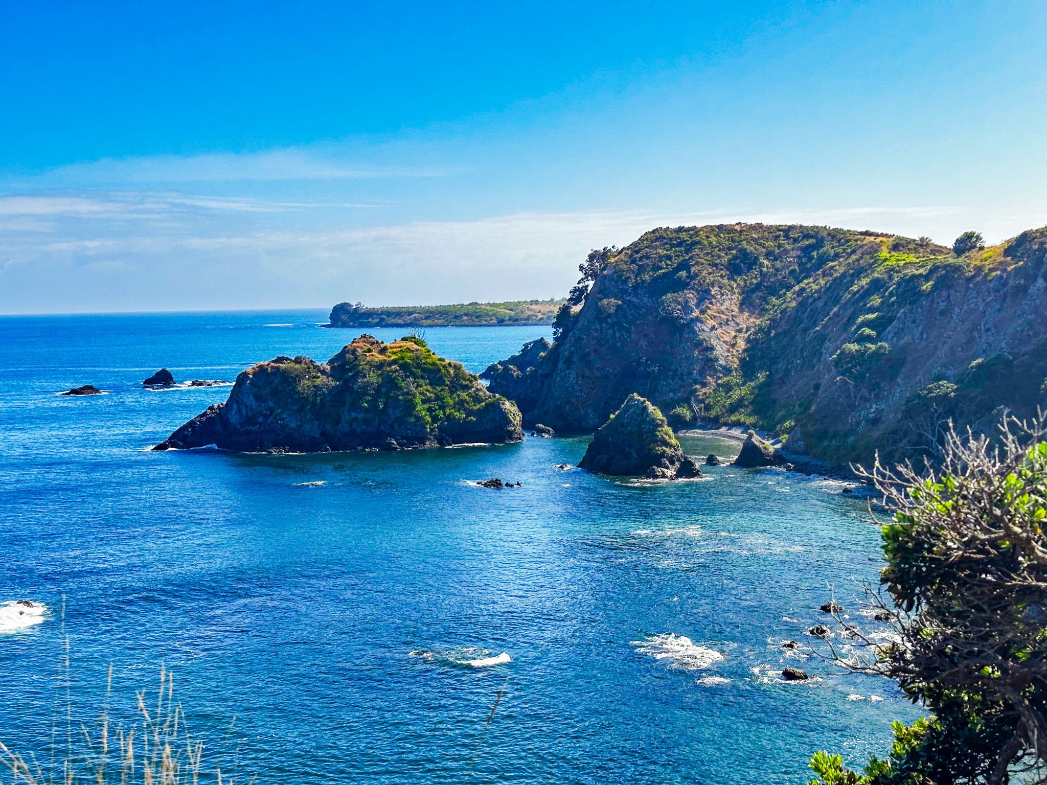
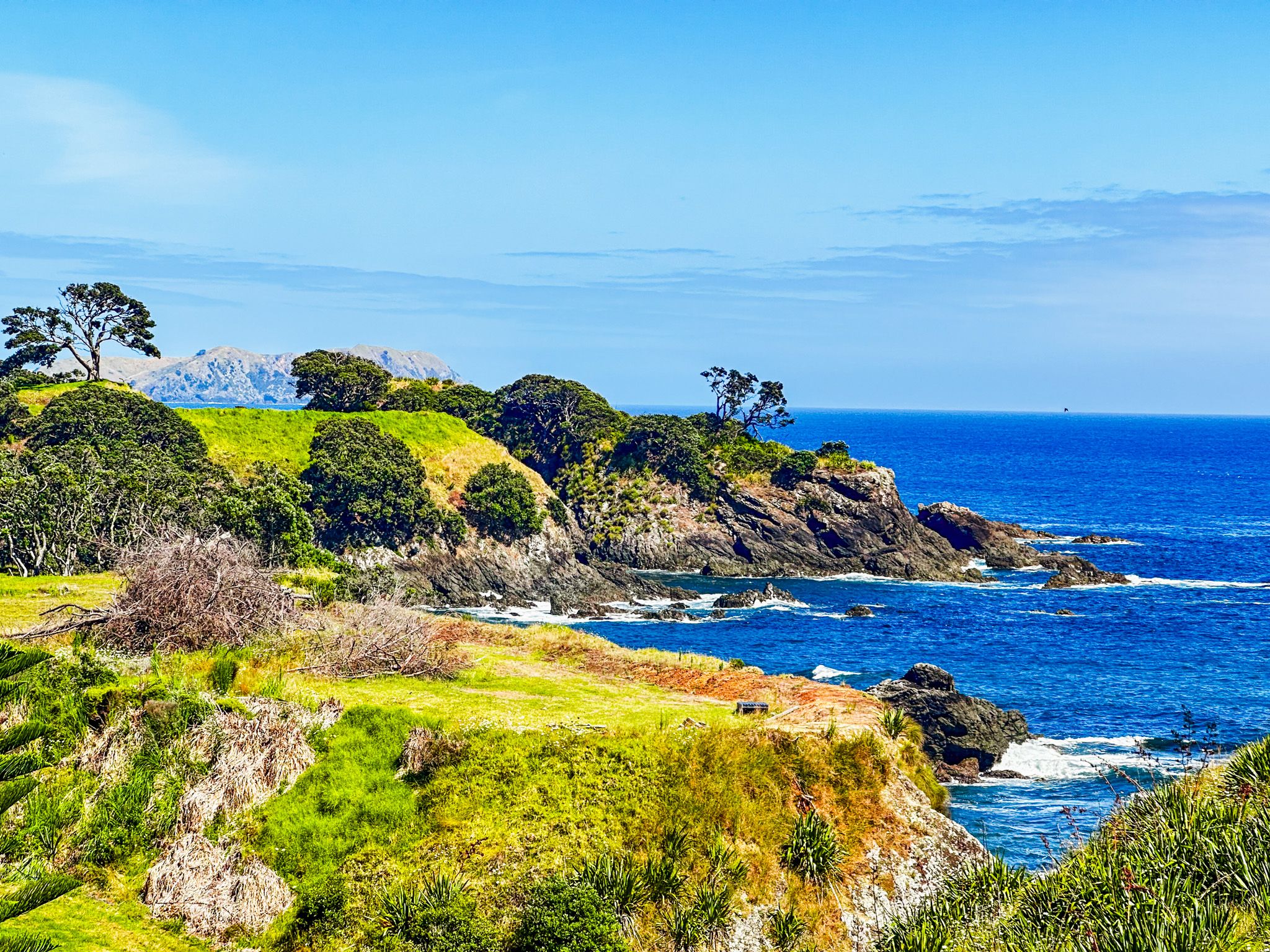
Shortly after the second hump, there is a loop around a third hump. This section takes you to more views and a trig point near the peninsula's tip. In addition to the coast, you will see the Cavalli Islands. On a clear day, you may pick out Cape Brett to the south and Karikari Peninsula to the north.