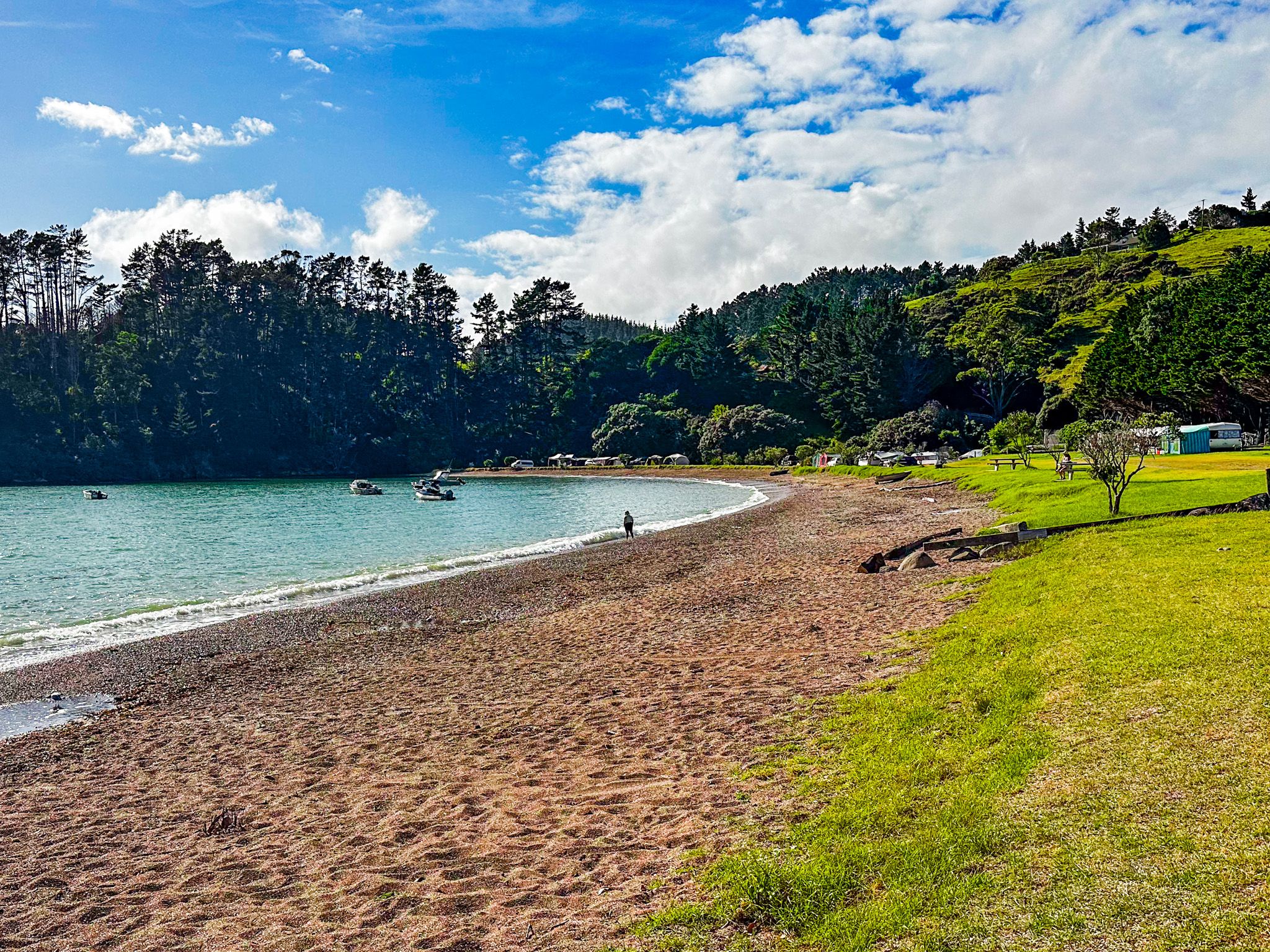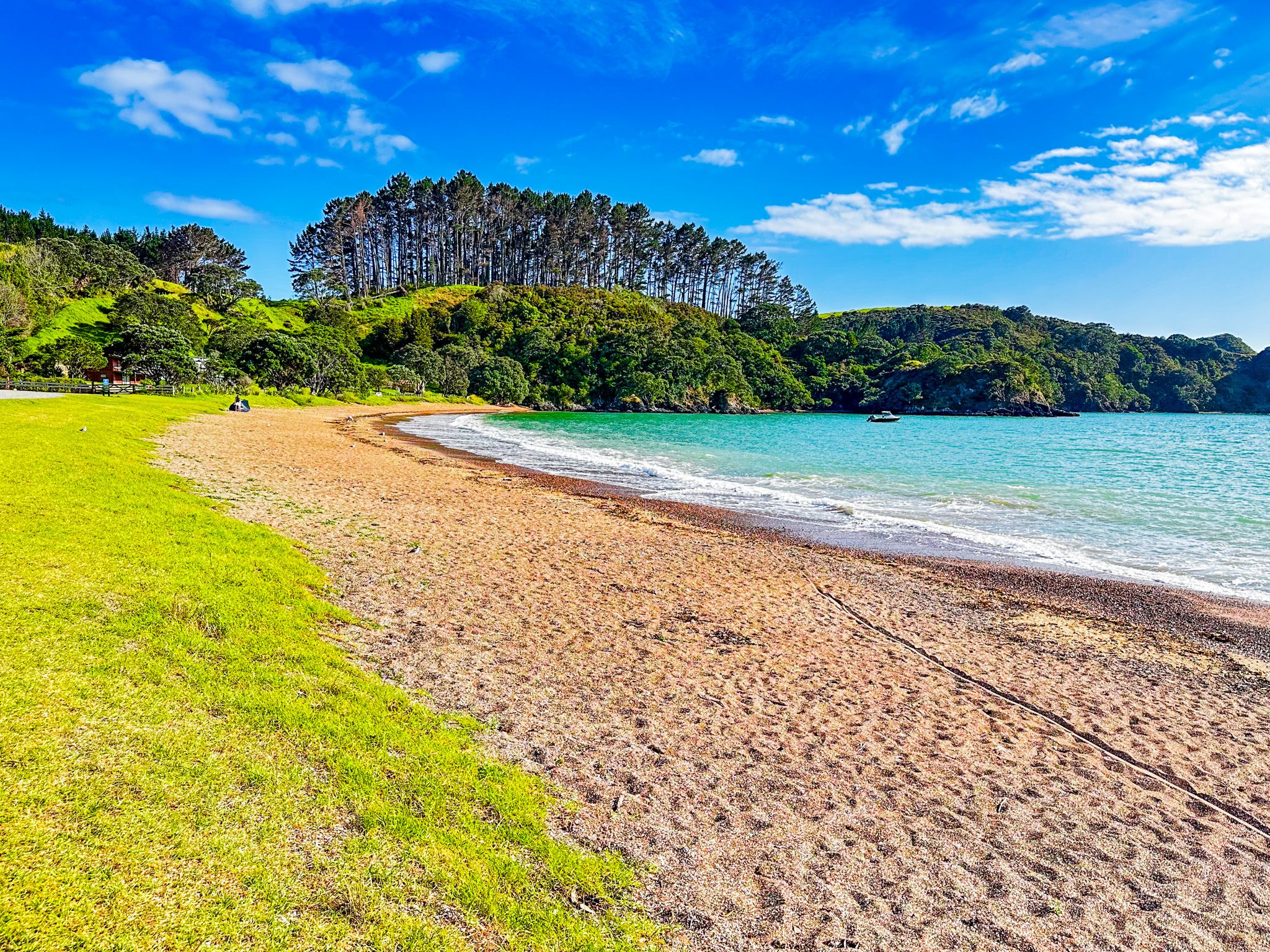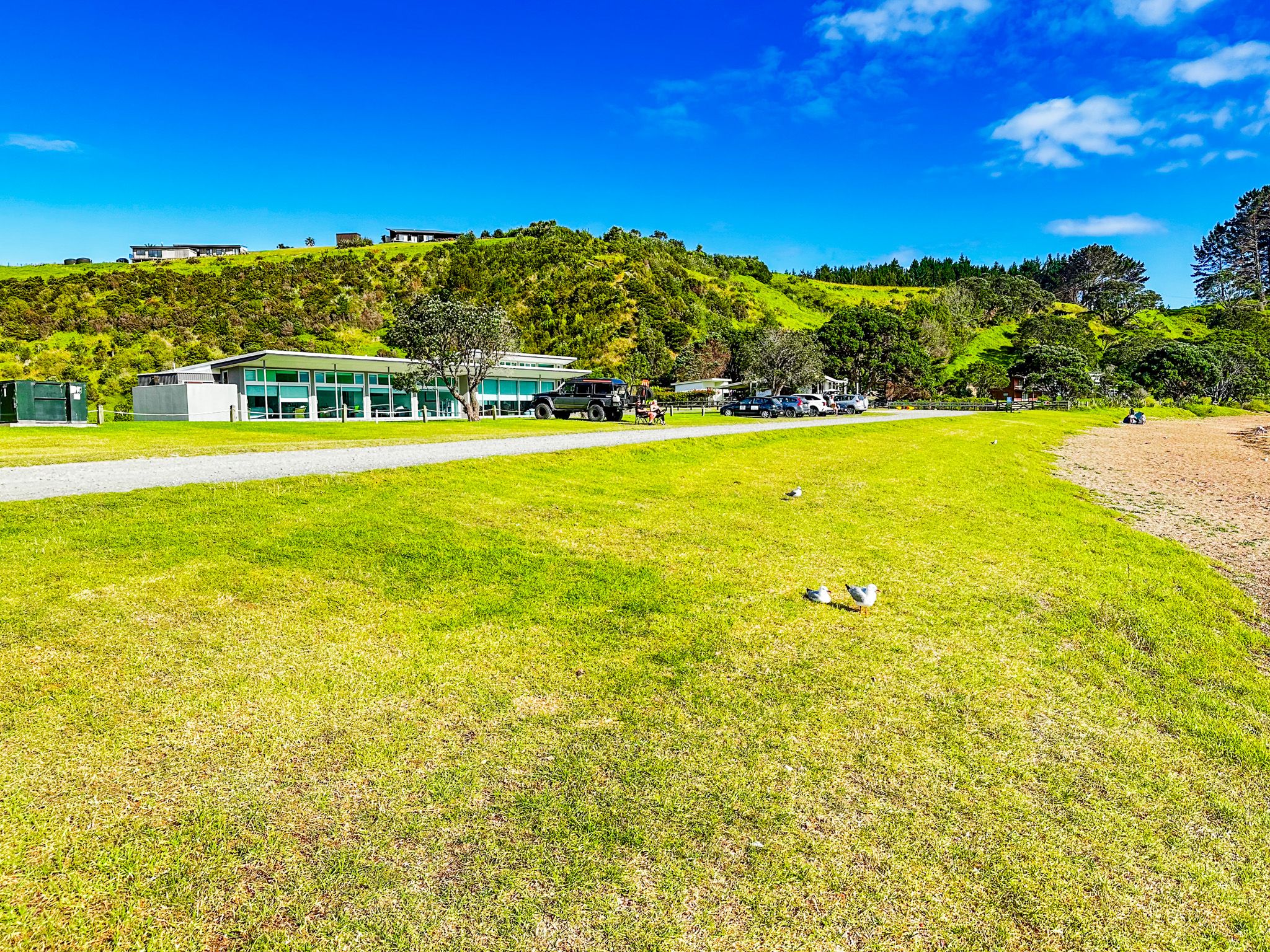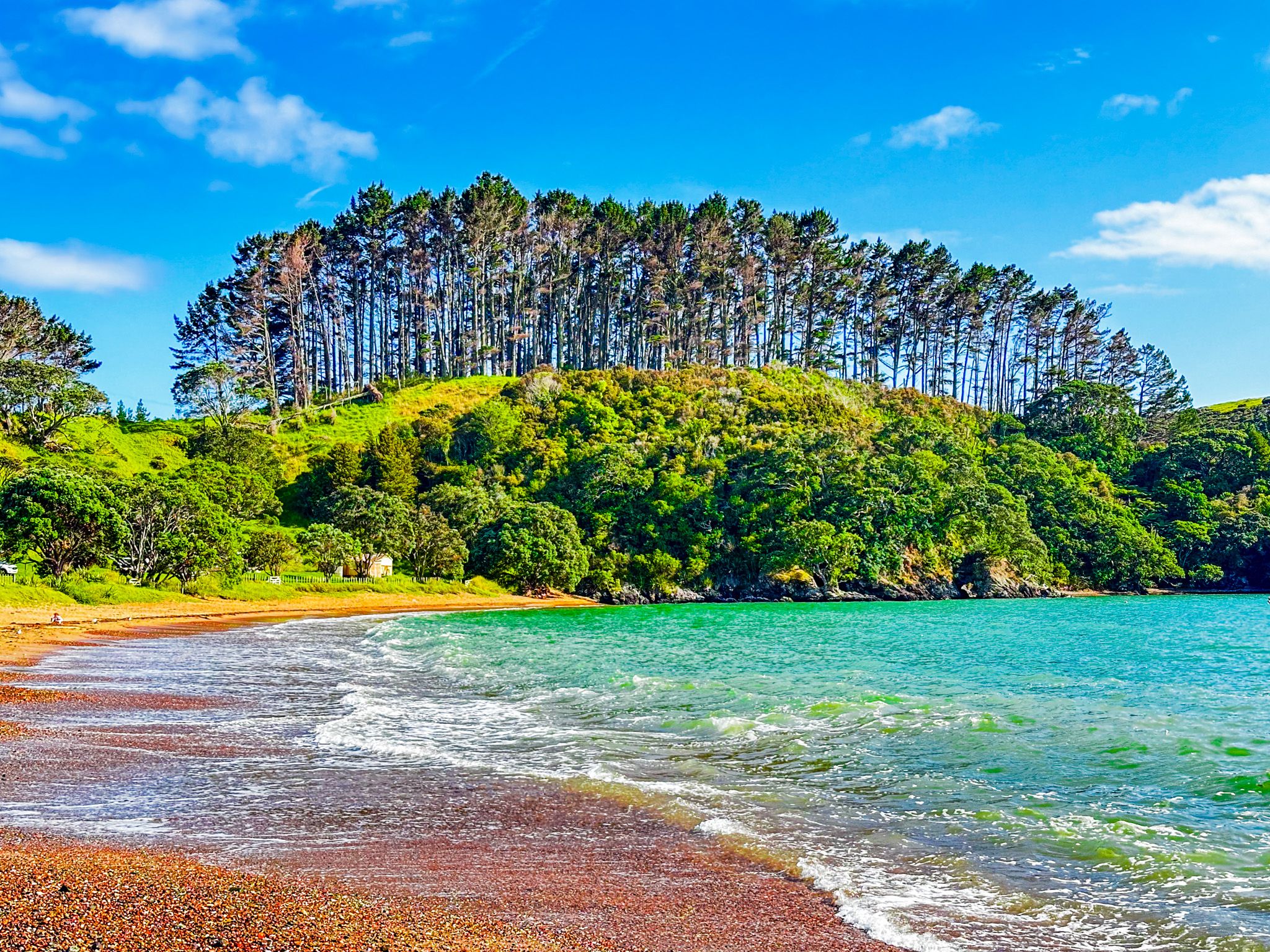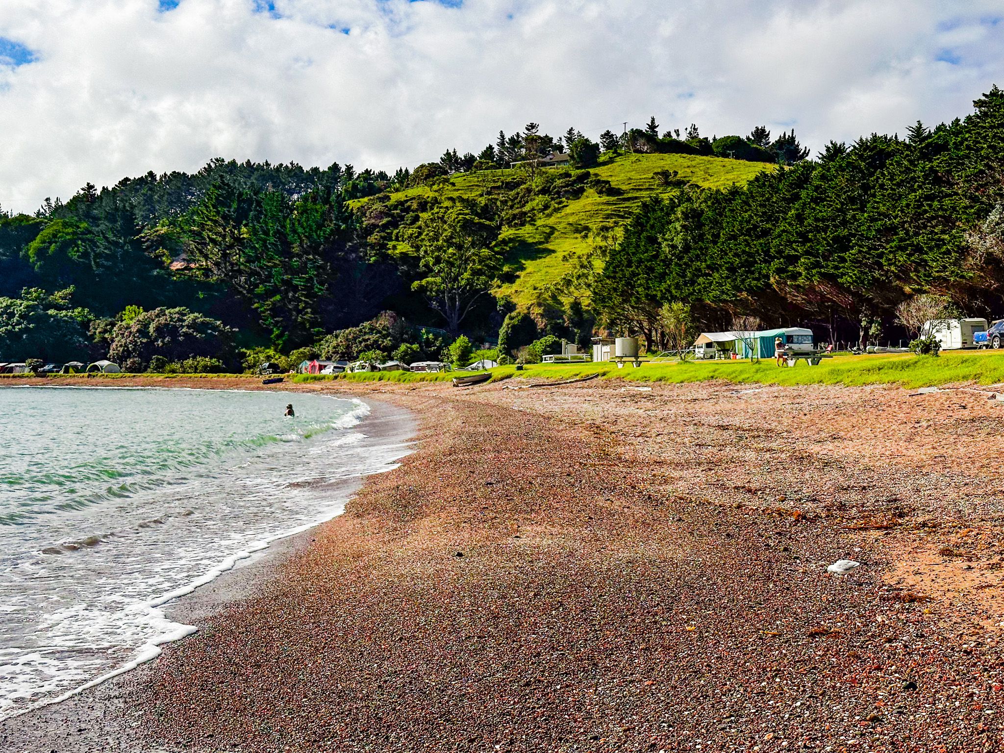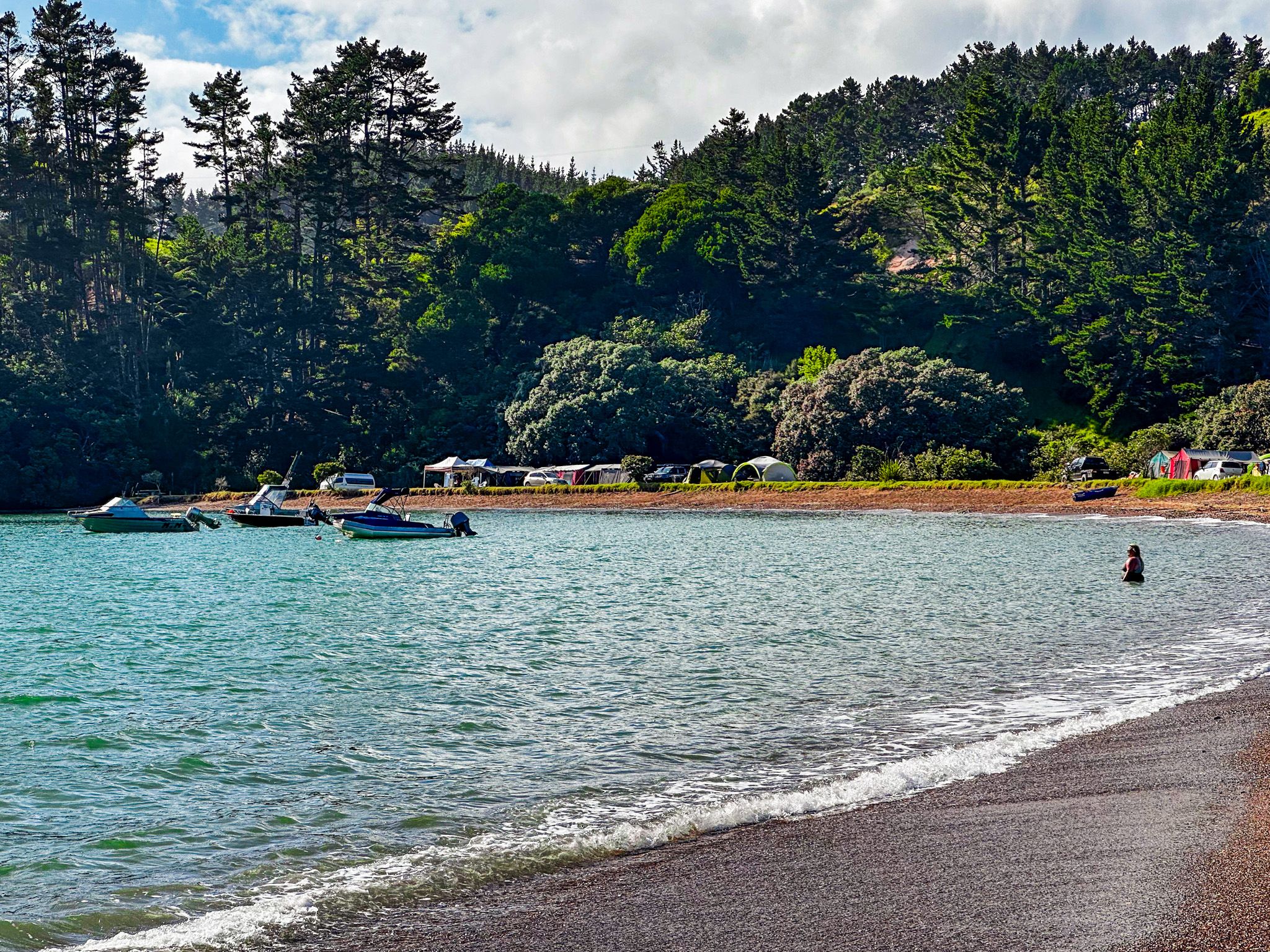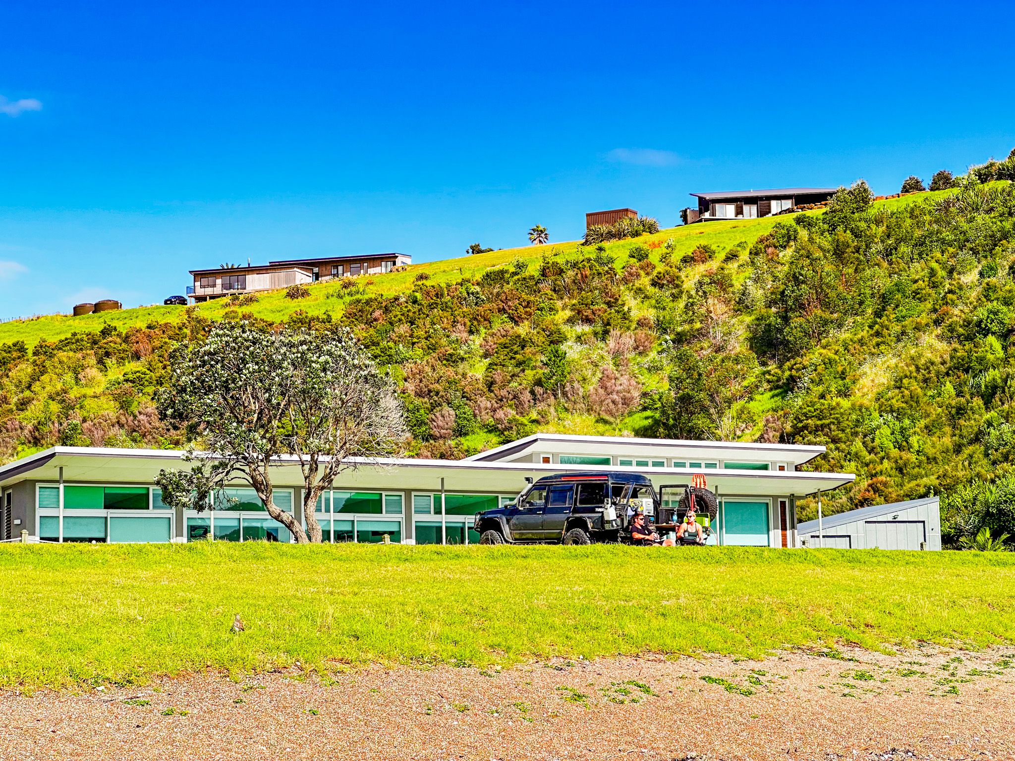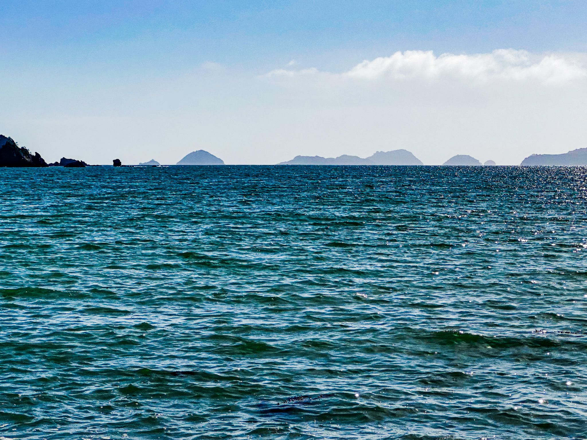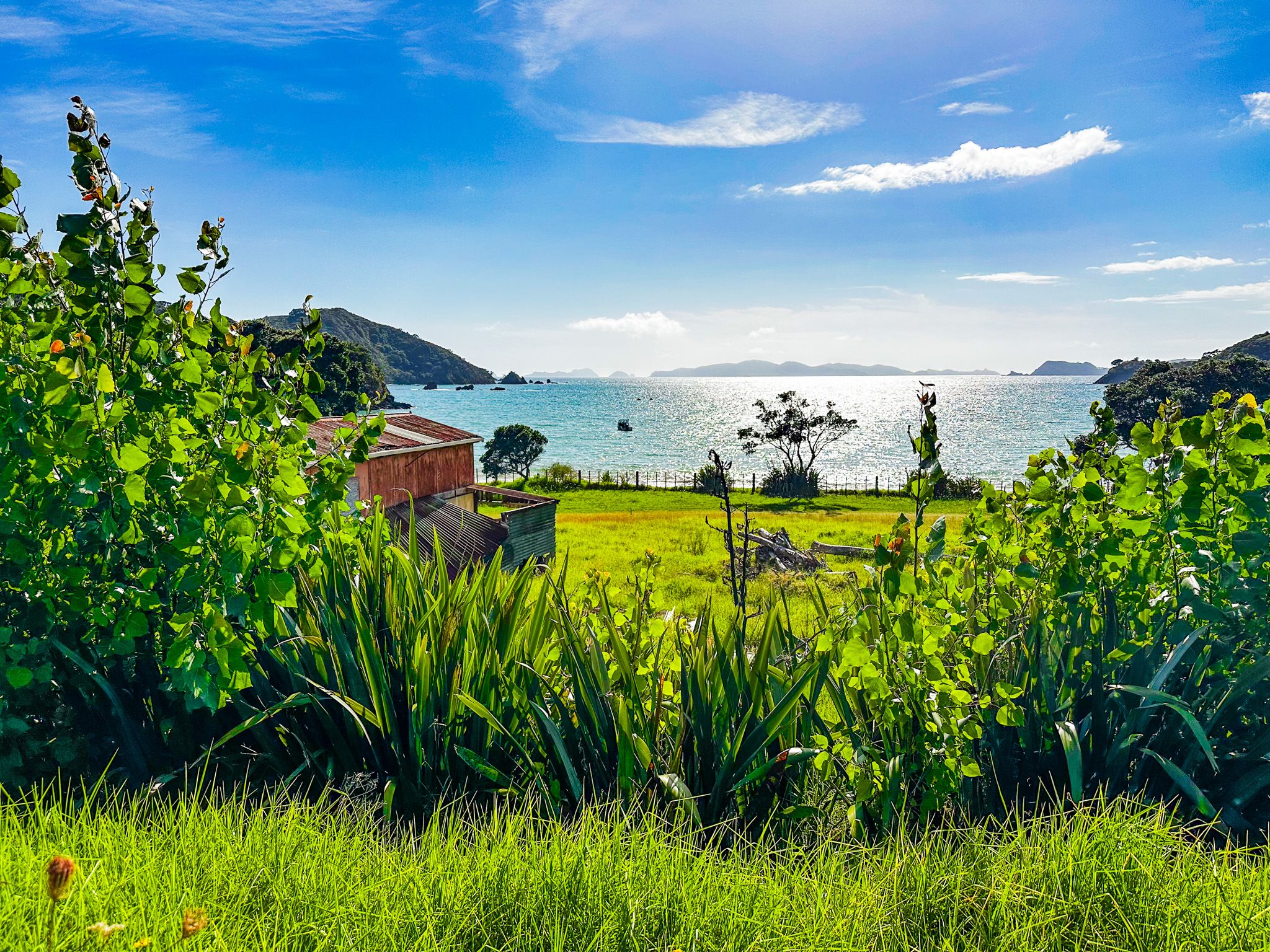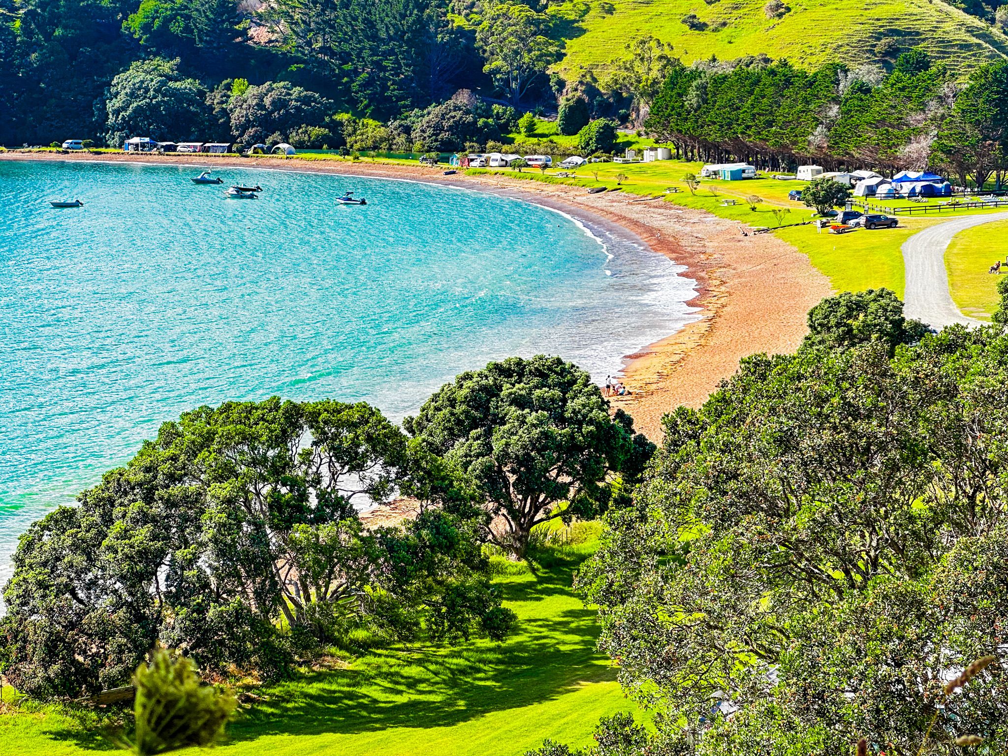
Pretty Mahinepua Bay is a short side trip from Wainui Road in Northland. The bay has a 600-metre long crescent-shaped beach. A cemetery and reserve are at the south end, and several holiday homes are to the north. The beach is reasonably safe for swimming and small boats, well sheltered by the 4.5 km long Mahinepua Peninsula on the north side of the bay.
When Europeans arrived, the bay was in the borderlands between Ngapui and Ngati Kahu iwi. Several pā sites were on the peninsula's high ground, with gardens in the valley and hills behind the beach. Unfortunately for the locals, they were victims of Hongi Hika’s various southern military campaigns during the Musket Wars and the area was left depopulated. Europeans were essentially free to take it over, and by 1912, the area was being extensively farmed.
In 1978, the peninsula came under DOC management control. DOC developed the superb peninsula walking track, surrounded by regenerating native bush and forest.
Mahinepua is about halfway between Matauri Bay and Whangaroa Harbour. Take Wainui Road, about 15 minutes from either end and then take a short side trip on Mahinepua Road to the beach.