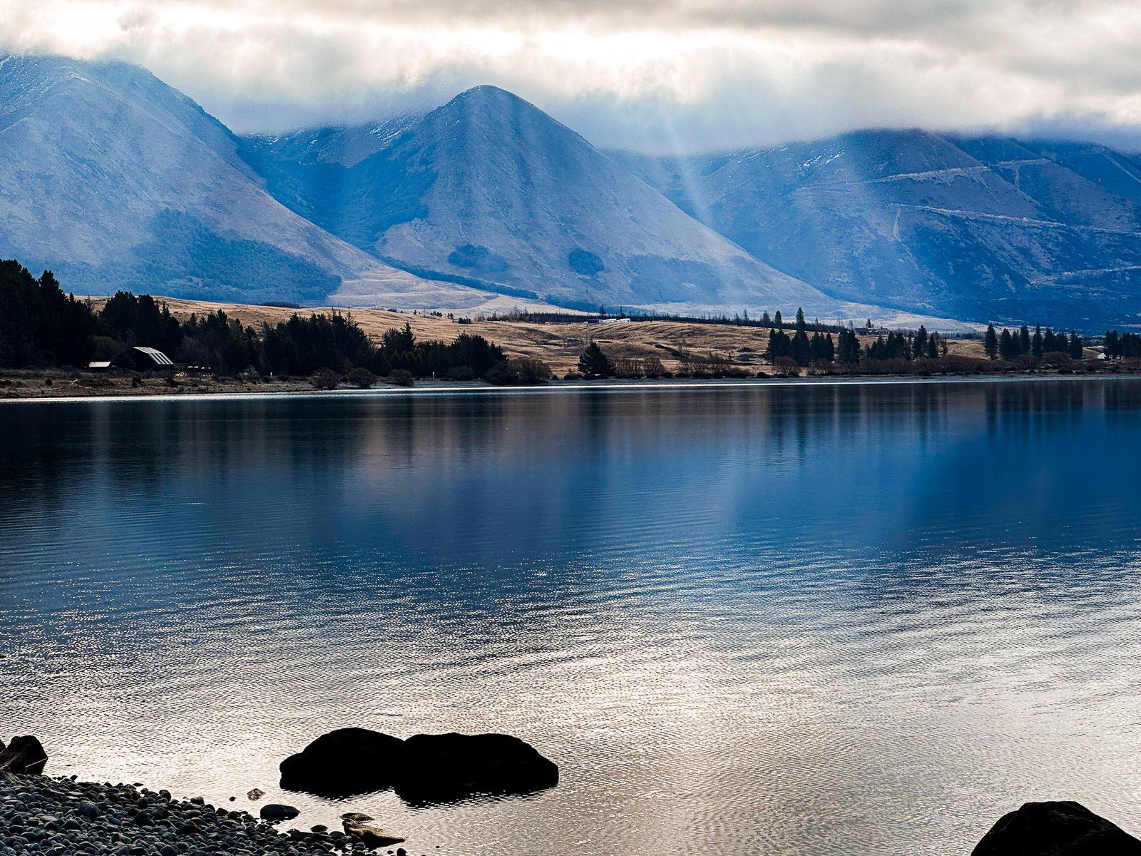
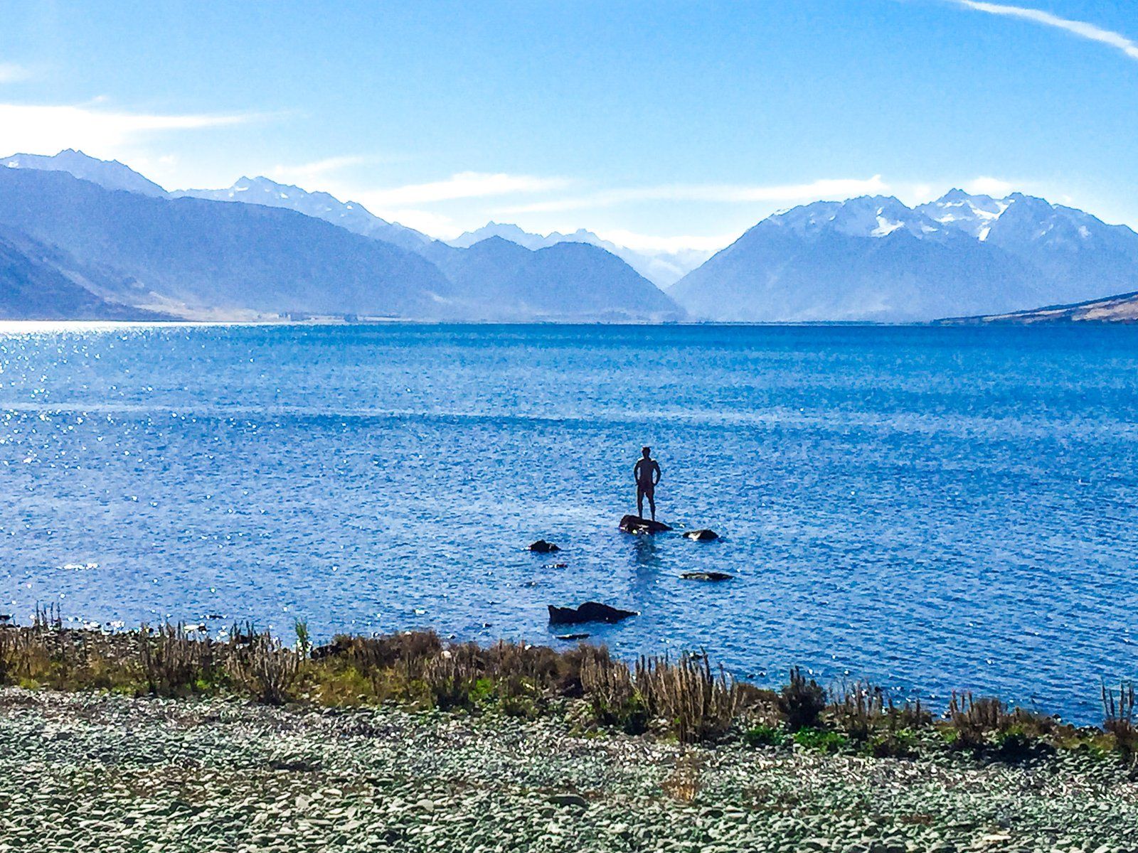
Lake Ōhau Track is a beautiful, easy eight km shared cycle and walking track around the south end of Lake Ōhau, Canterbury. It runs between Lake Ōhau Road to the west and Glen Lyon Road to the east. It follows the edge of the lake, with superb views of Ben Ōhau, the 1,522-metre peak immediately on the north side of the lake.
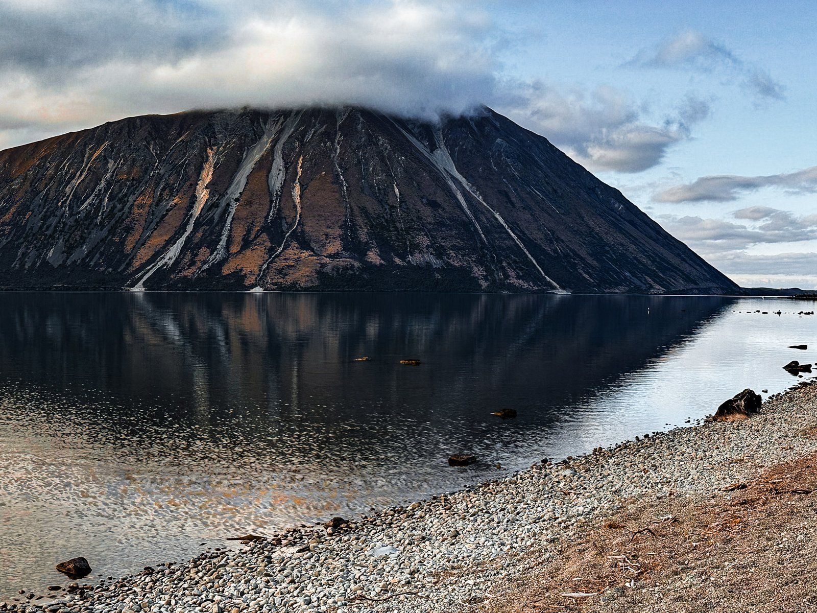
At the Lake Ōhau Road end of the track, there is a large car park in front of a gravel beach. The view is down the lake from the beach to the Hopkins Valley and surrounding mountain ranges. Ben Ōhau, at 1,522 metres, dominates towards the northeast at the front of the Ben Ōhau Range. The Barrier Range runs along the west side of the lake.
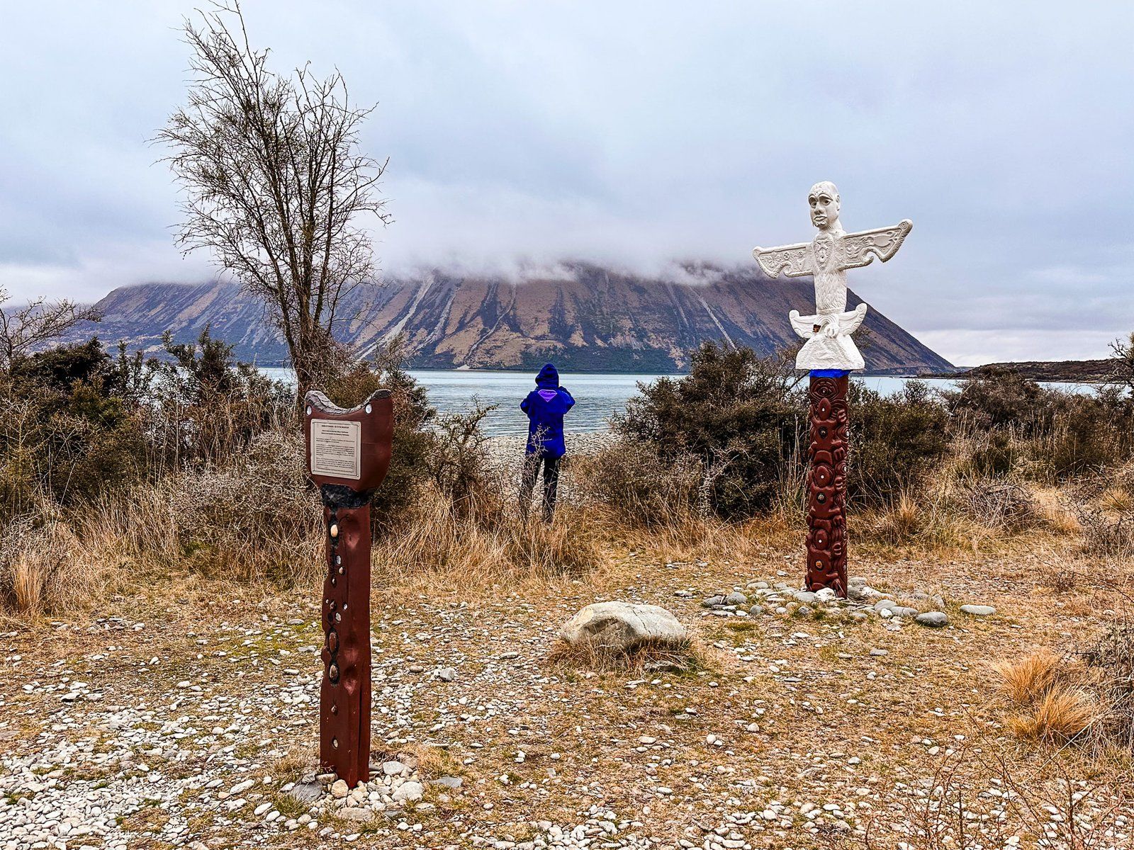
A couple of panels provide a Māori perspective just before the track entrance. One refers to the creation myth of the lake, and the others tell true stories. One of these is about the “hole in the middle”. Essentially, Ngāi Tahu sold what is now much of Canterbury and Otago to the NZ government in 1848, believing they had excluded the high country, lakes and mountains (the “hole”). The government took possession of all the excluded land anyway. This and other breaches of the Treaty of Waitangi were finally settled in 1998. Nearby is a pou (carved post) and a further panel which is a reminder of the teachings of Ariki Tohukato around peaceful conflict resolution.
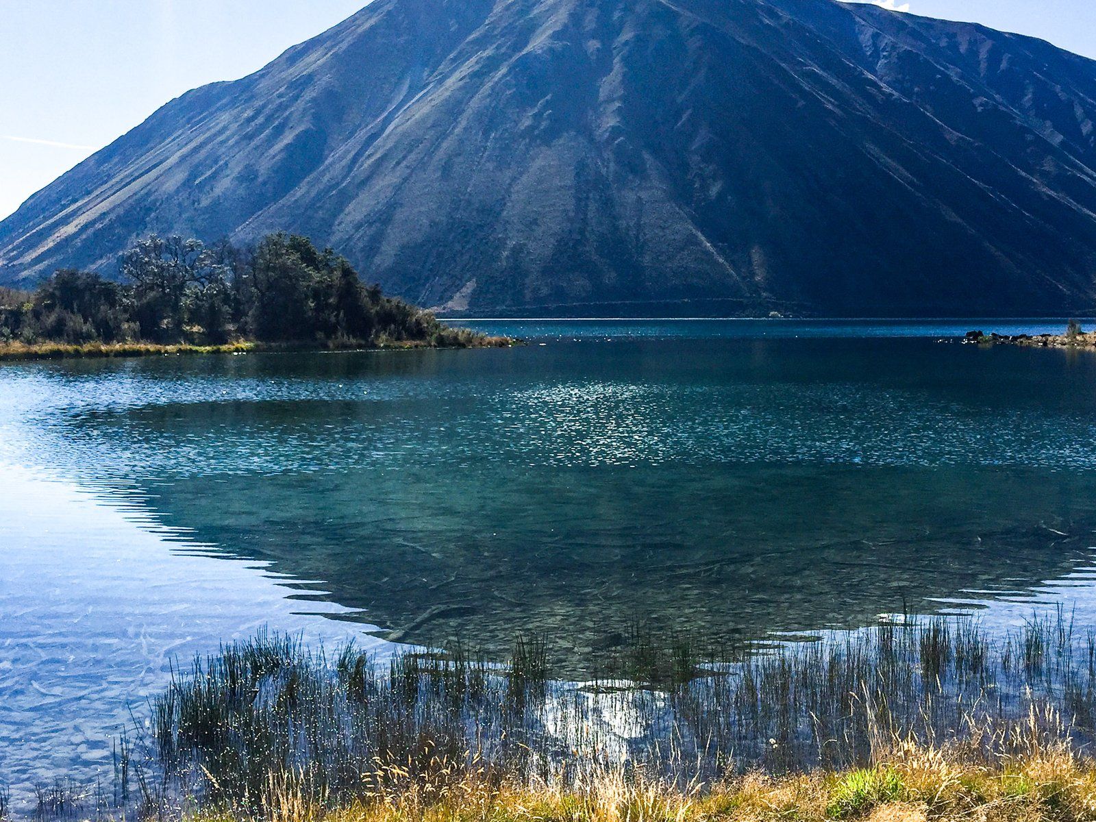
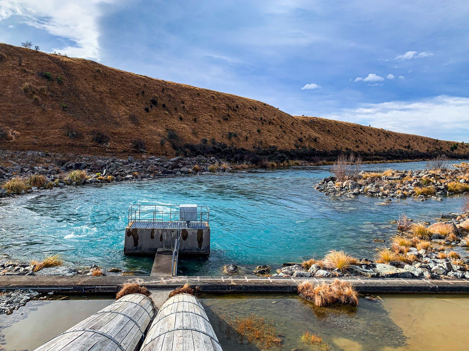
There are several other points of interest on the track. Māori Swamp is about three km along the track from Lake Ōhau Road. It is perfect for a stop and picnic. Towards the end of the track, you reach a weir at the Ōhau River outlet. This manages the water level in support of the Ōhau Canal, part of the extensive hydroelectric scheme in the Mackenzie Basin.
The track is also part of Te Araroa and of the A2O Cycle Trail between Mt Cook Aoraki/Tekapo and Ōamaru.