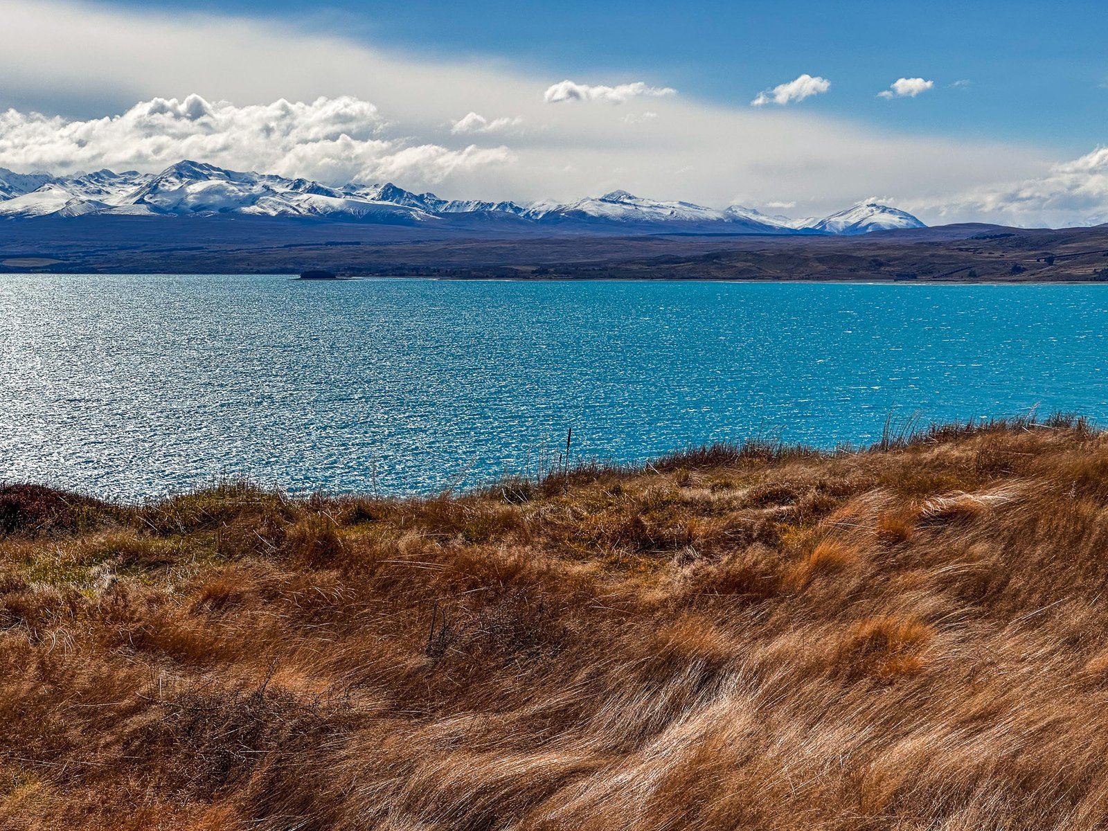
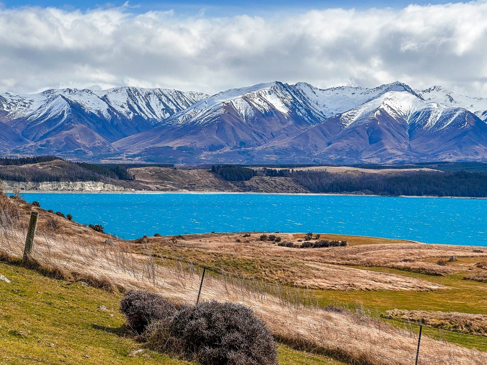
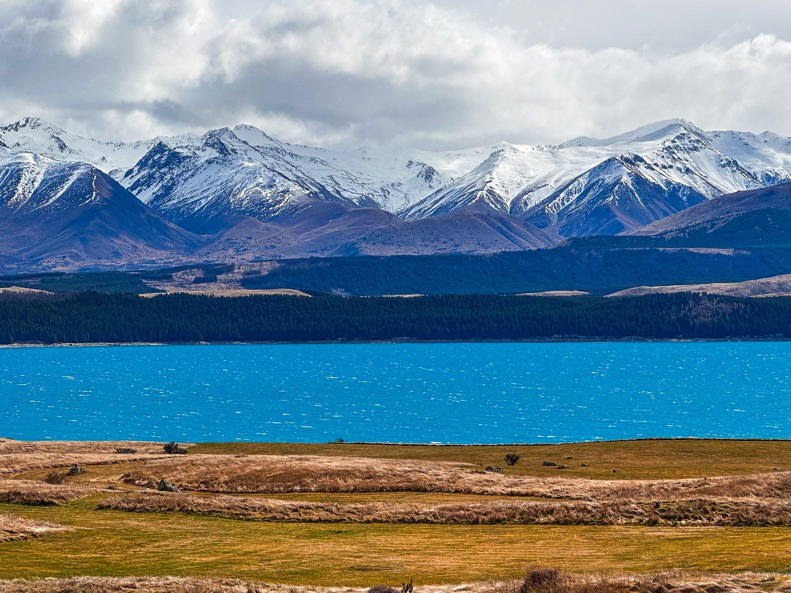
Kettle holes are a reasonably common feature of previously glaciated landscapes. However, they are generally not that big or easy to get to. The Pukaki Kettle Hole Track is an easy one-hour return track on the south side of State Highway 8. Over four km, it overlooks Lake Pukaki in the Mackenzie Country.
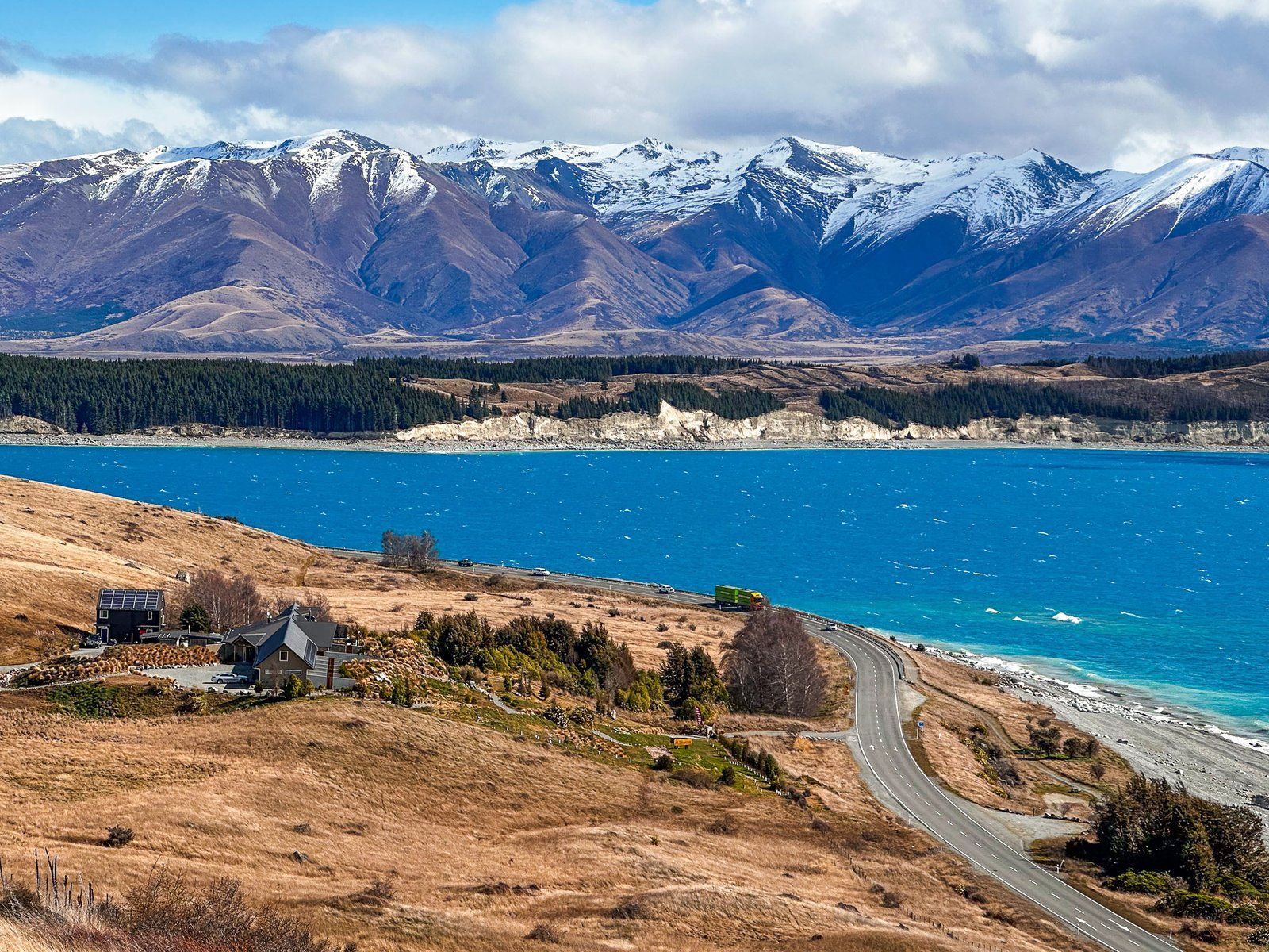
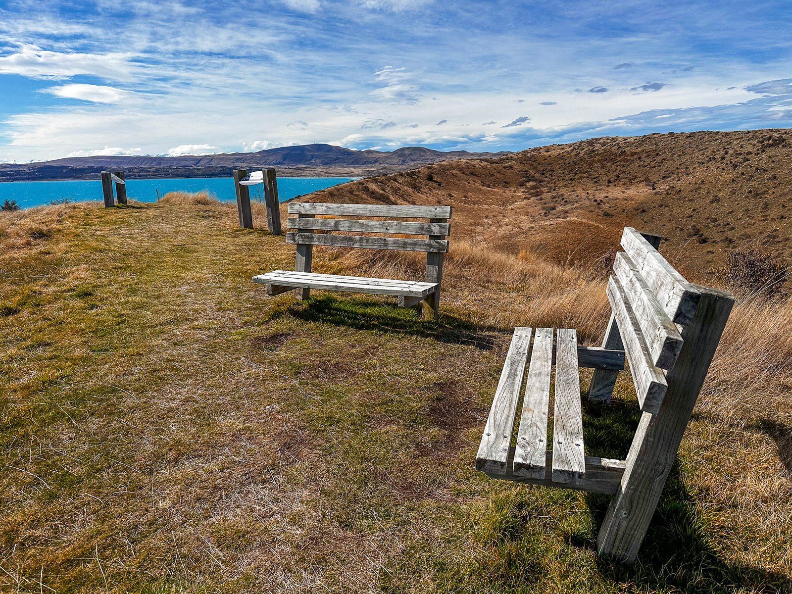
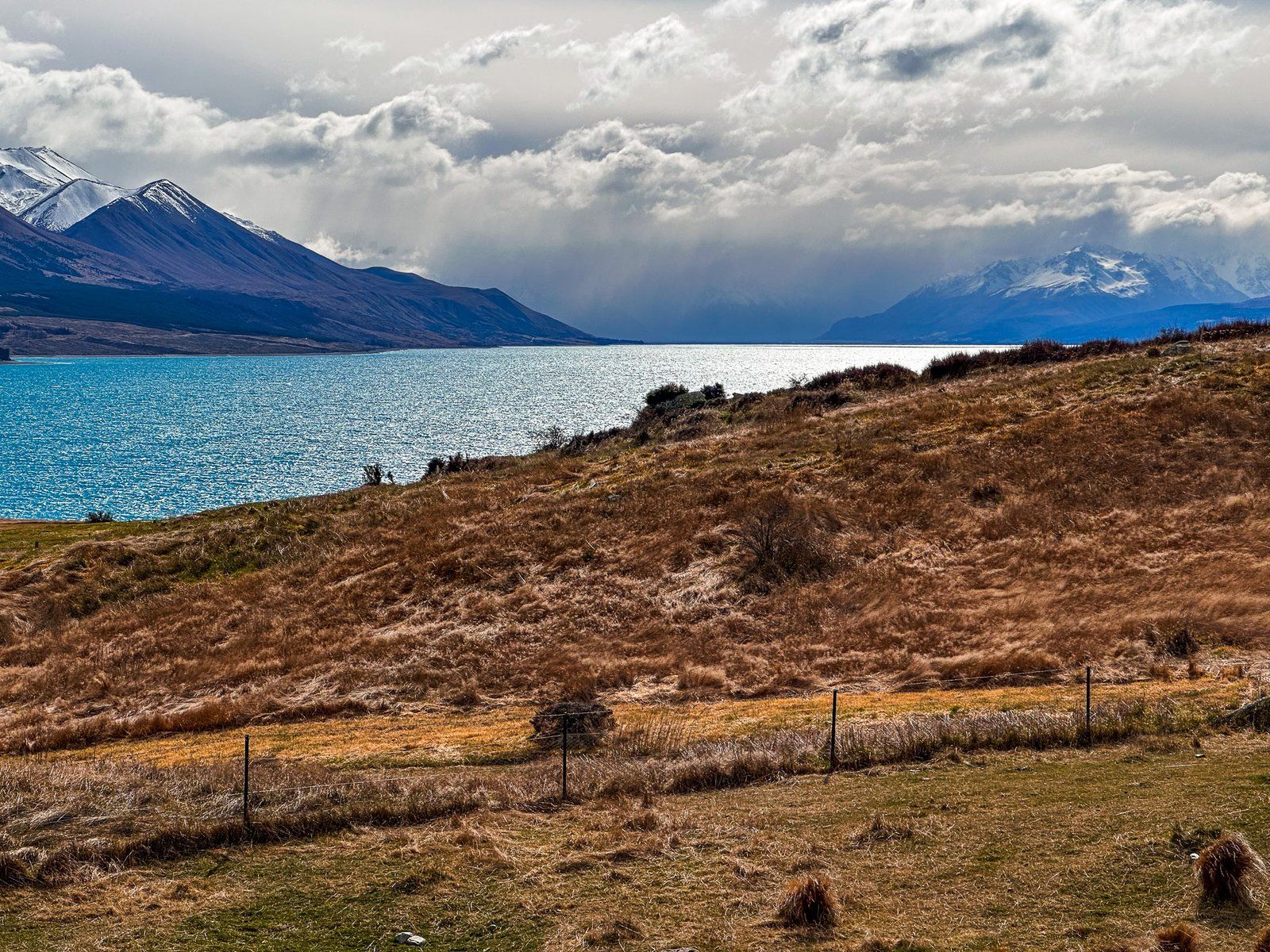
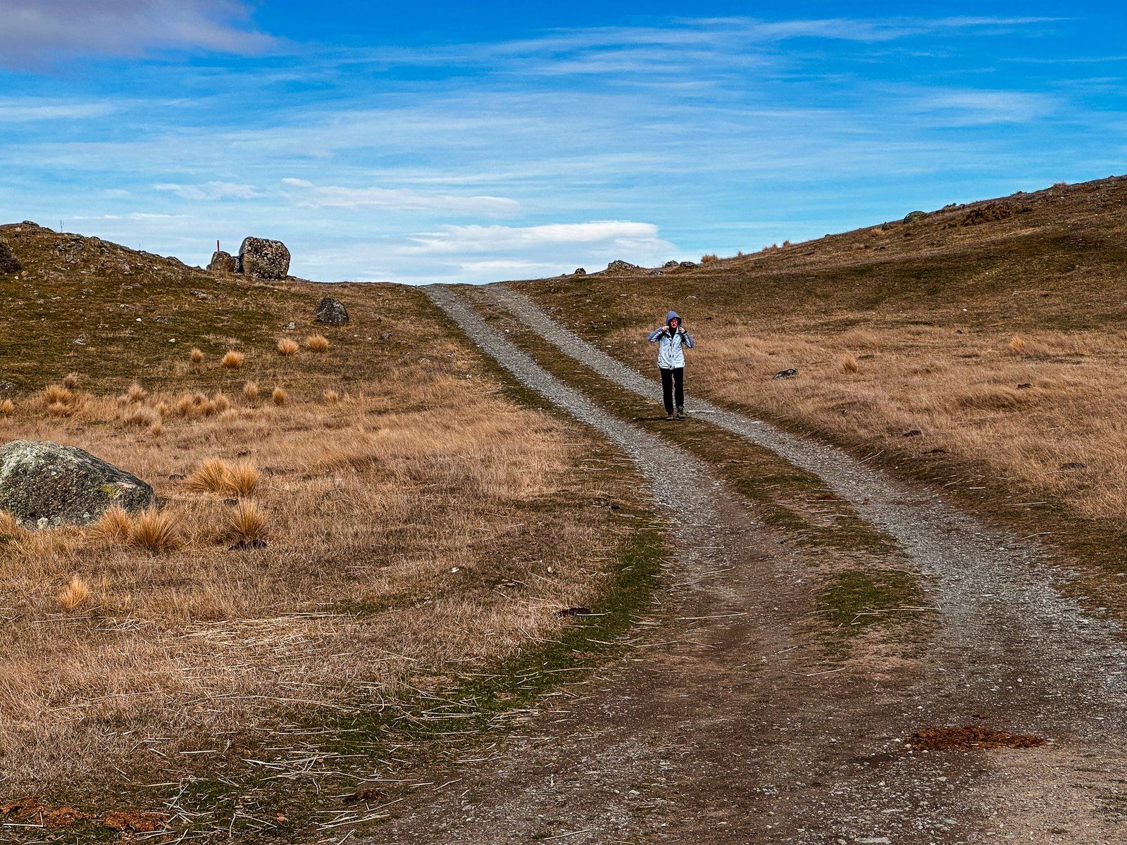
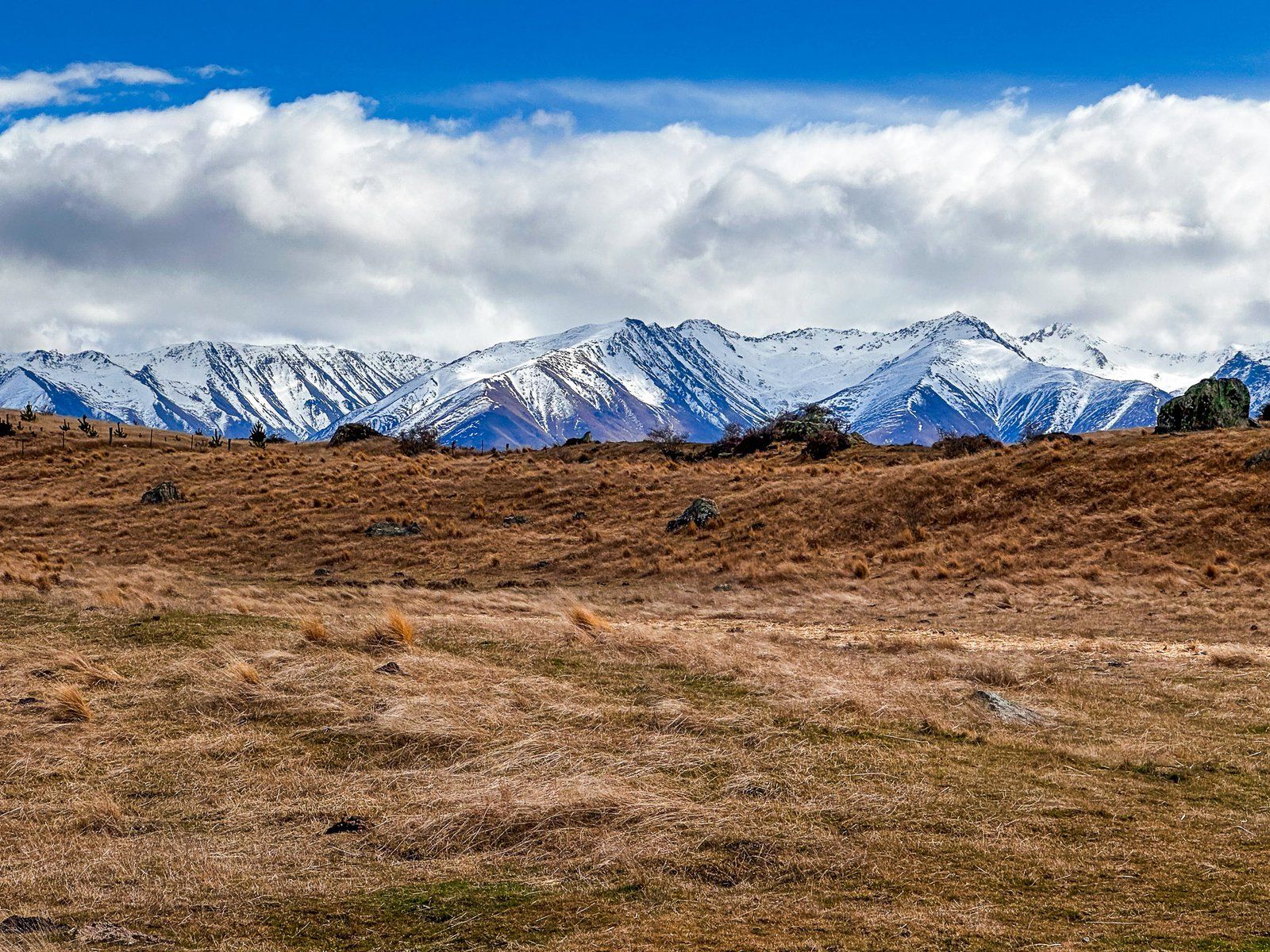
It rises about 40 metres over moraine hummocks (rounded hills). It initially follows a farm track up onto the ridge of the Pukaki moraine. This is the 600-metre-high, steep hill at the south end of the lake that marks the maximum extent of the Tasman Glacier at the end of the last ice age. There are amazing views from the ridge as you continue along the ridge to the kettle hole (it may be windy). The track then follows the moraine ridge to the kettle hole, then loops around the hole. There are explanatory panels at the main viewpoint.
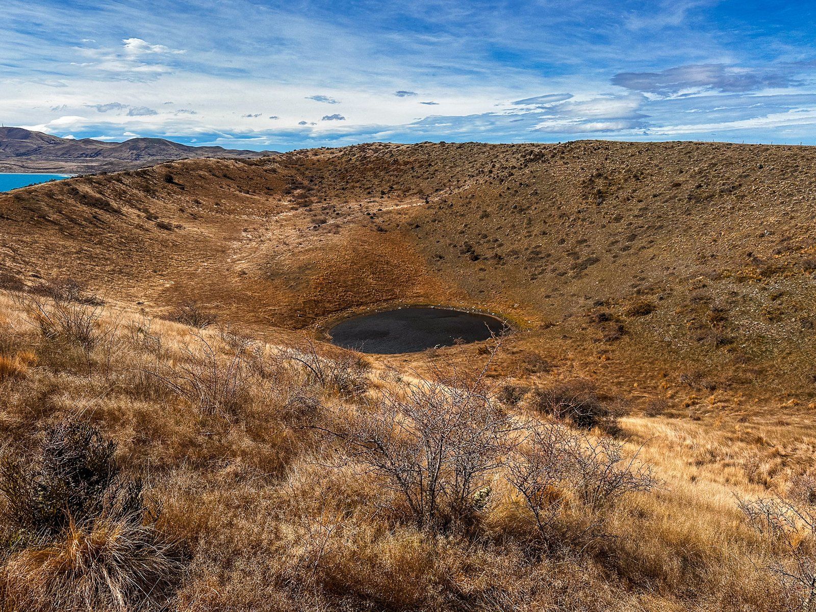
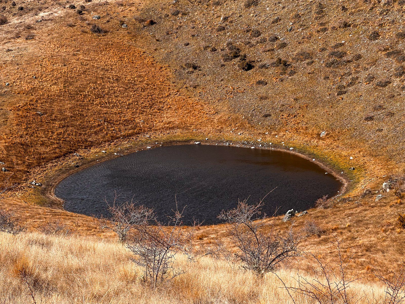
The hole is up to 60 metres deep and 300 metres wide, with a pond at the bottom. It resembles a volcanic crater but was actually created when large blocks of glacial ice were buried by subsequent sediments and rocks as the glacier retreated. Eventually, the ice melts, and the ceiling collapses, leaving behind the crater.
The track access road is at the northeast end of the Pukaki Dam, opposite the access road to a viewpoint and freedom camping area.