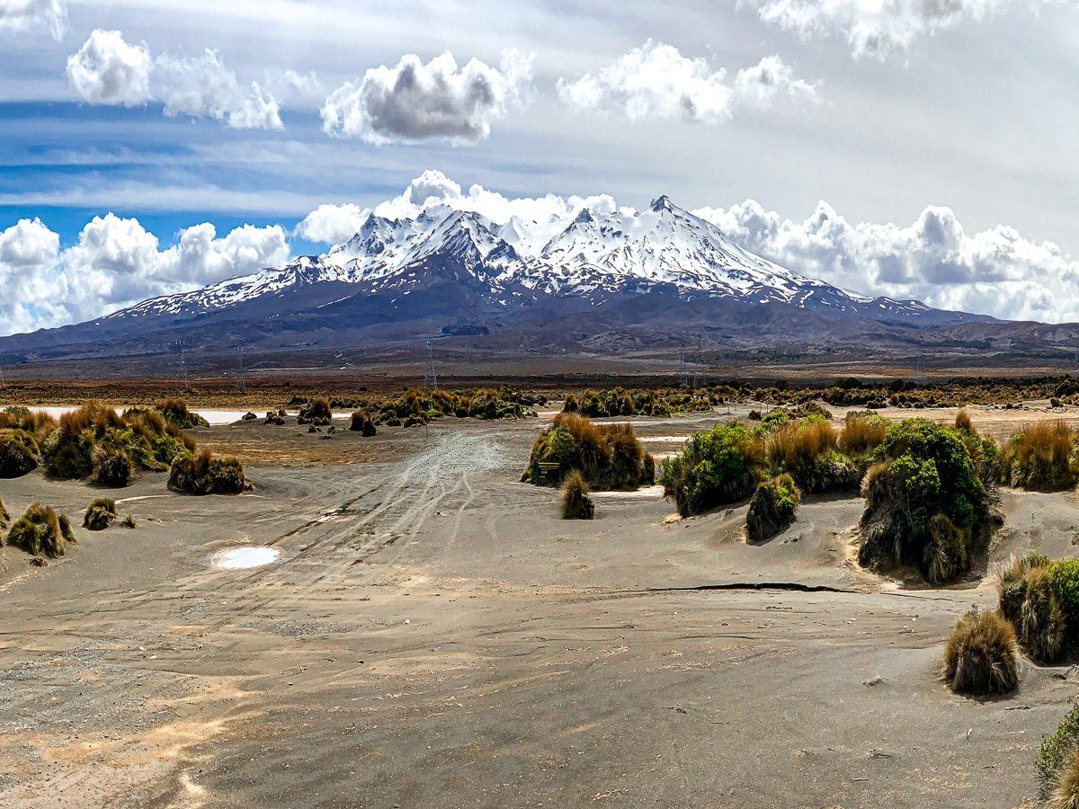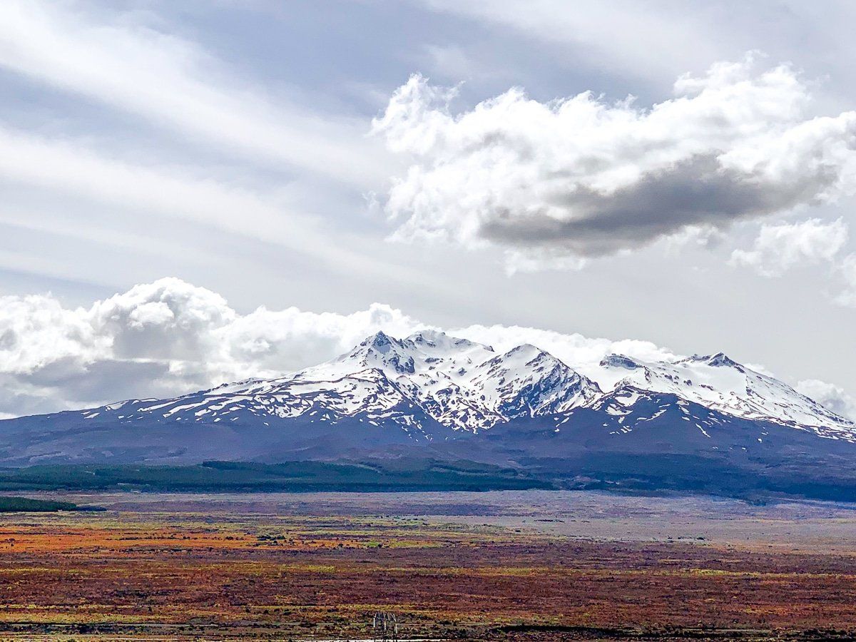
The Desert Road, State Highway 1, on the east side of Tongariro National Park, is one of the top scenic drives in New Zealand. It rises to 1,074 metres, making it the highest major highway in NZ and subject to occasional Winter snow closures. There are three volcanoes: Ruapehu, at 2,707 metres high; the near-perfect Ngauruhoe cone, at 2,287 metres; and rather squat Tongariro (a mere 1.967 metres). However, you may suffer traffic shock if you come to it after the Taihape-Napier Road on the Napier-Taupō Loop.
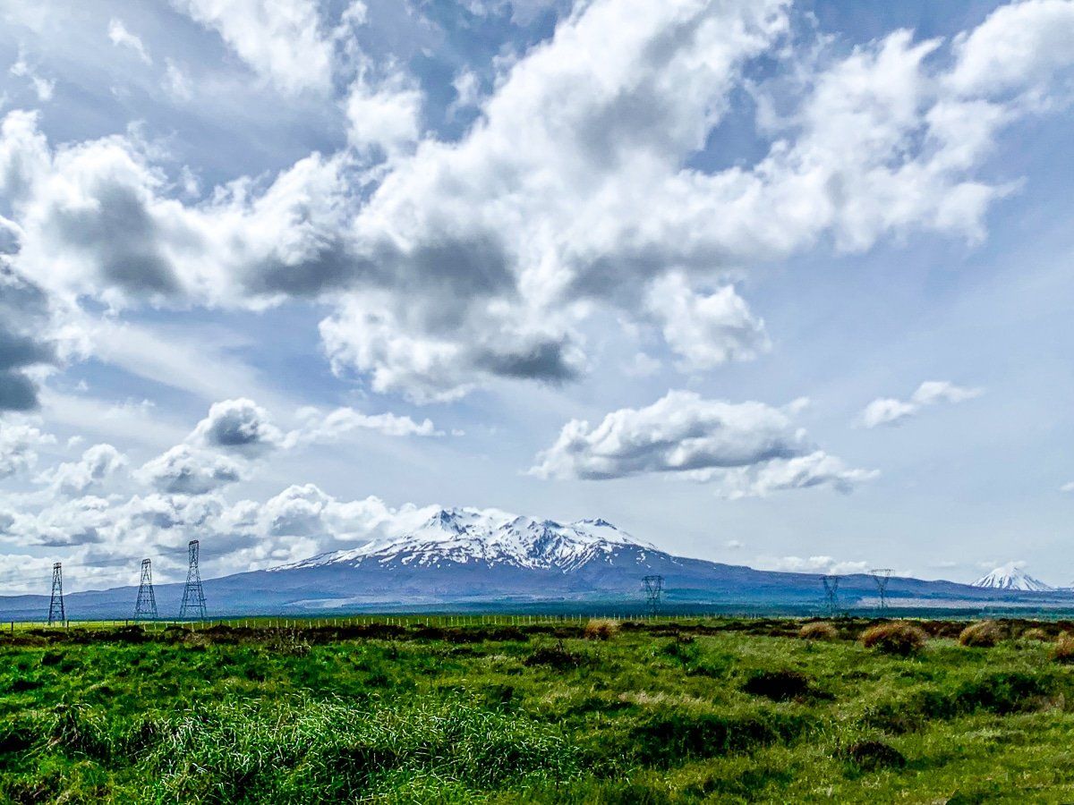
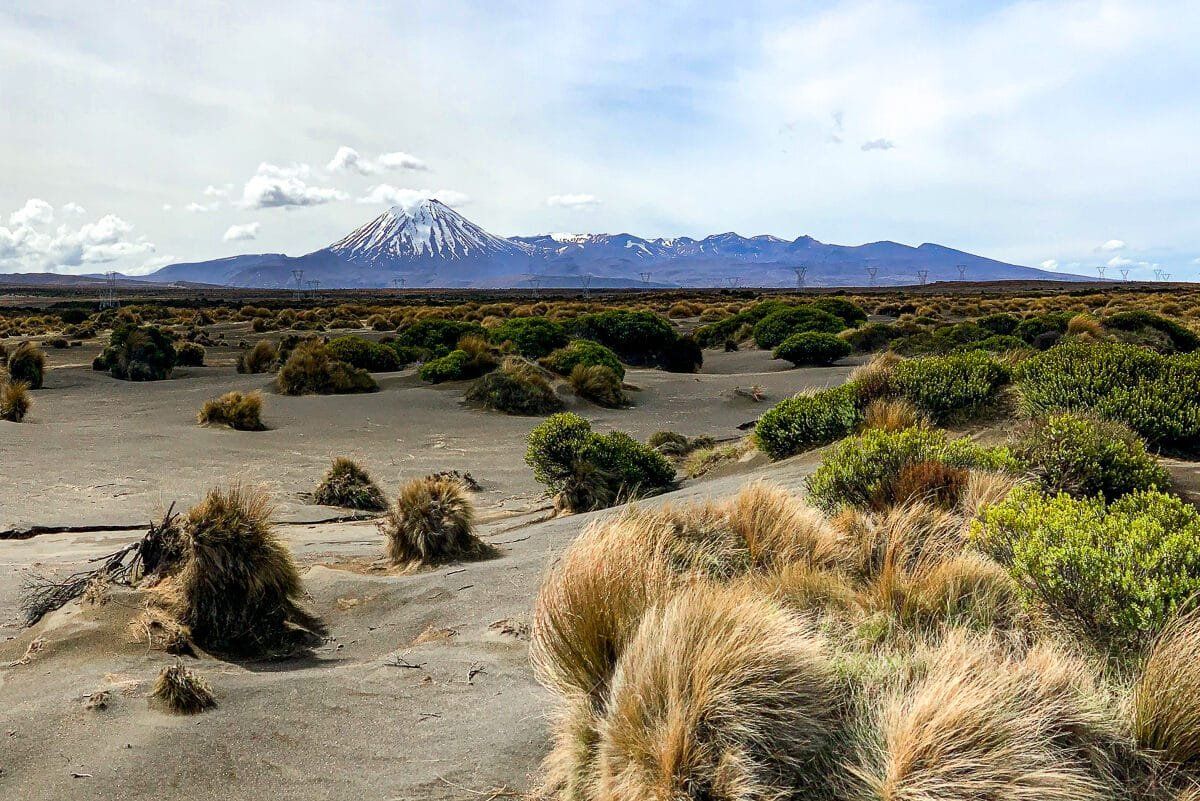
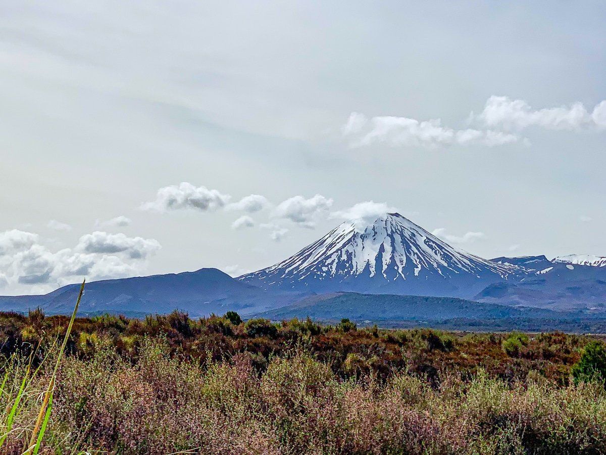
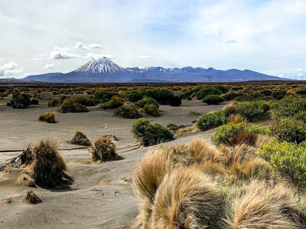
As you approach Waiouru from the south, you will see Ruapehu across green farmland. But once past the town, the landscape quickly turns to the Rangipo Desert, with scrublands, tussock, and sand backed by the volcanoes. Curiously, the desert is not as dry as it looks. The combination of 1,000+ metre height, acid soil due to many volcanic eruptions and intensely cold, windy weather makes for desert conditions. As you reach the end of the desert, the road briefly faces Mt Ngauruhoe (Mt Doom in LOTR) for outstanding views, with the lower flatter Mt Tongariro to the right.
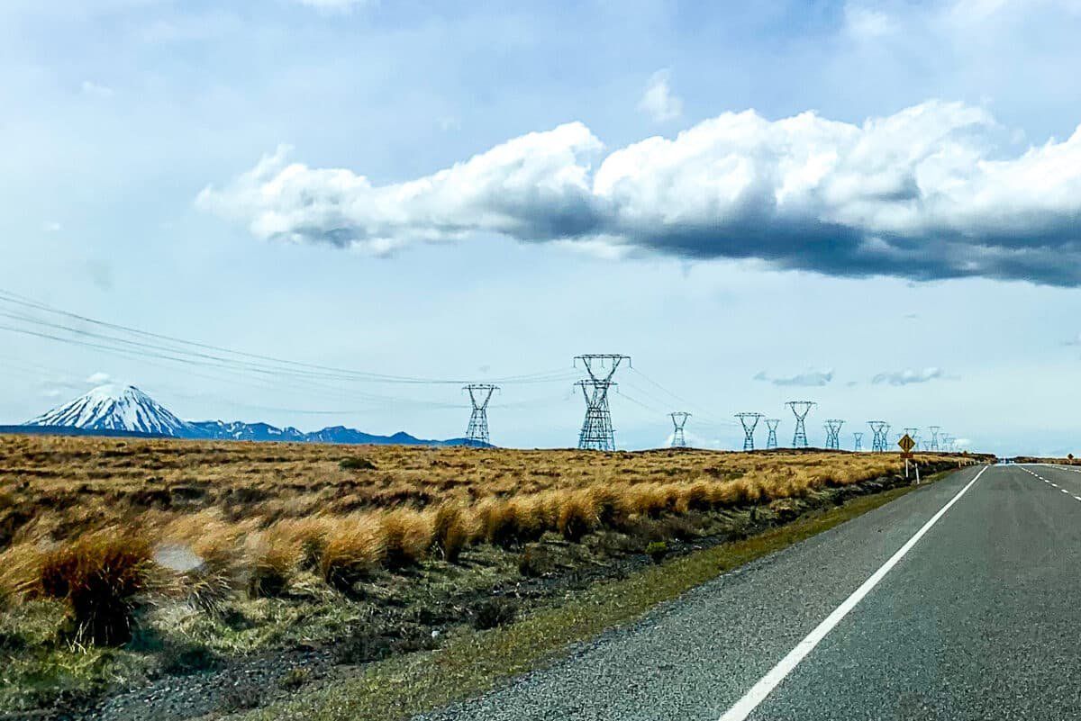
Don't worry too much if the large electric pylons annoy you (they do me); the view gets clearer further north as the pylons move away from the road and much closer to the mountains. It is generally safe to stop on the side of the road for photos of the volcanoes.
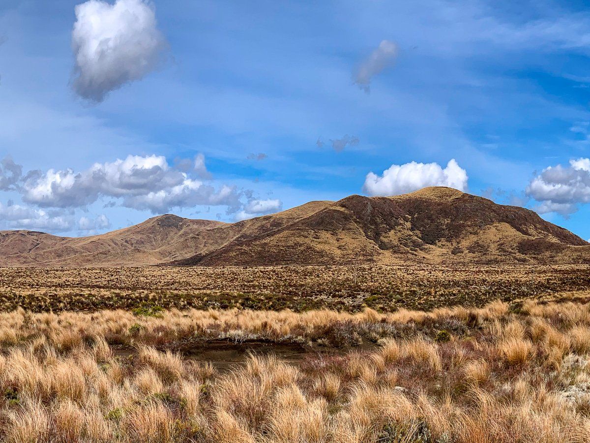
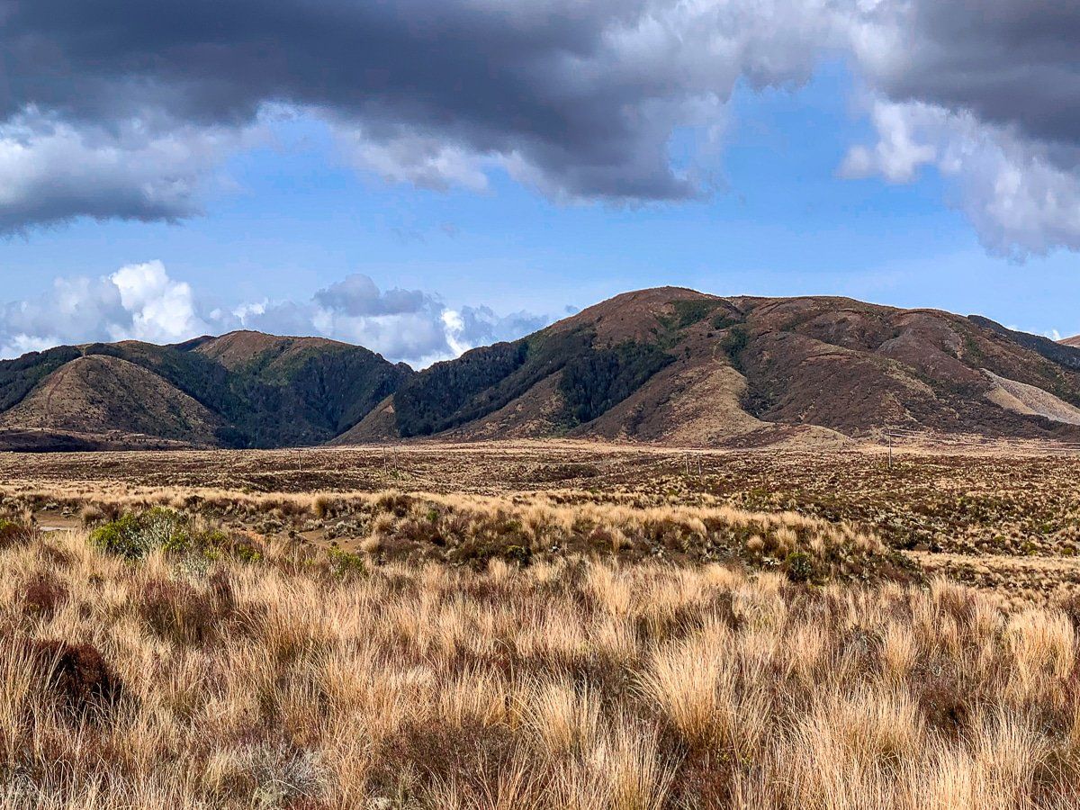
The Kaimanawa Mountains on the east side of the road are less obvious. They top out slightly over 1,600 metres, so they look more like high hills. To the south, they look quite bare but are heavily forested once they leave the rain shadow of Ruapehu. You can access a particularly scenic part of this region on Kaimanawa Road from the north end of Desert Road.
These shots were mid-spring, but the best time for the scenic drive is probably a fine day in winter after a snowstorm!