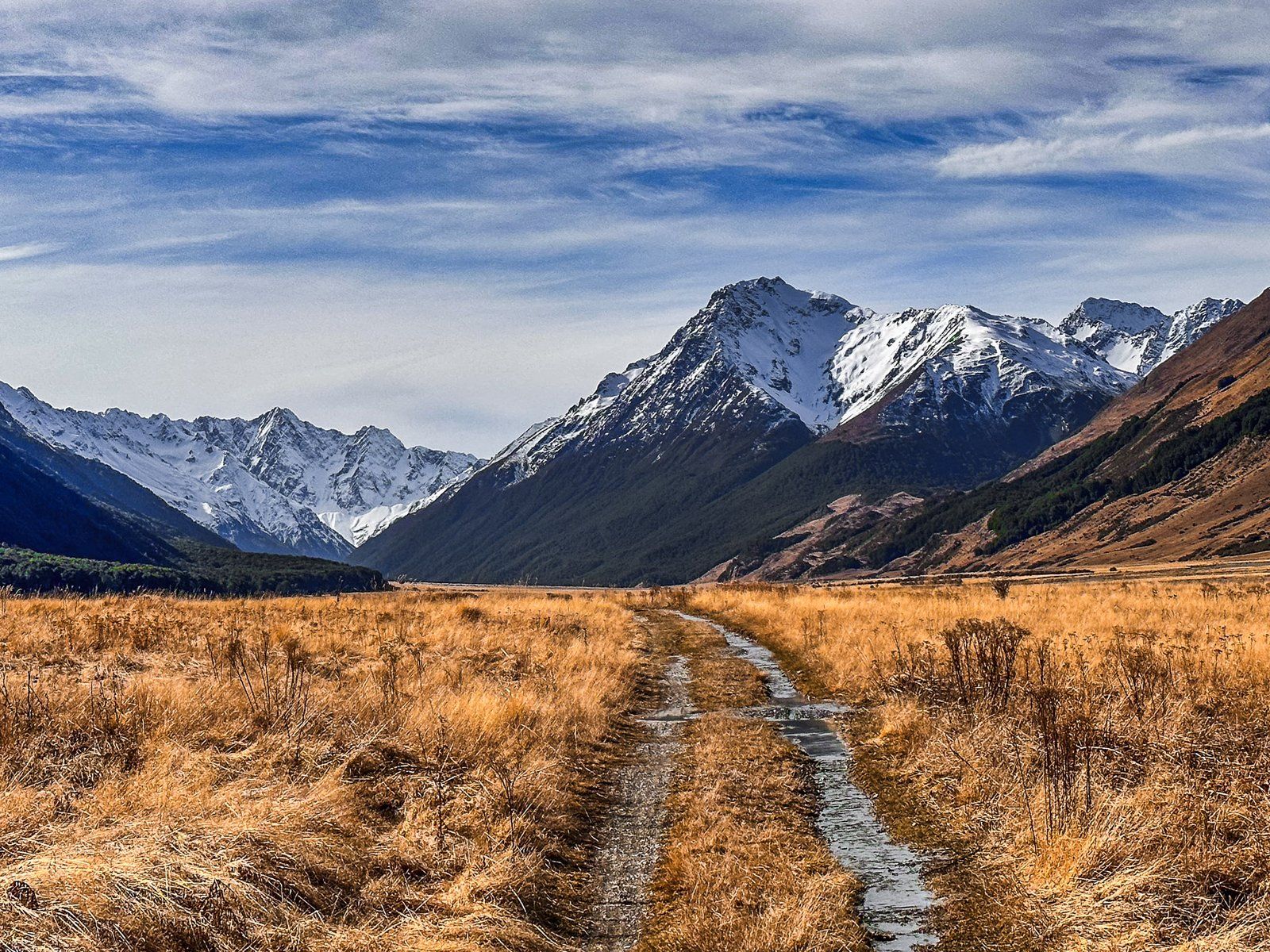
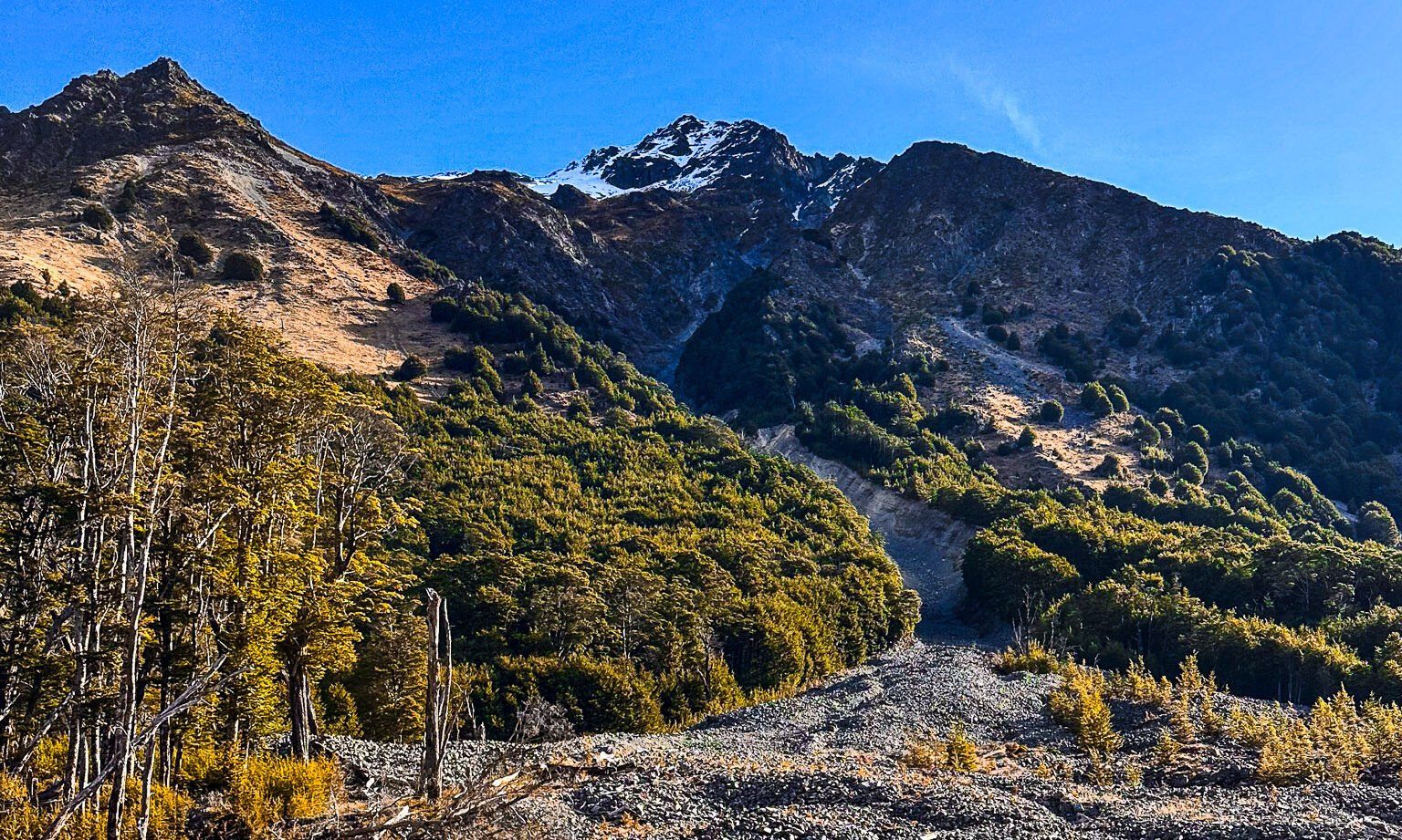
If you have a 4WD, you can continue for 11 km along Birchwood Road to the road end. Although this part of the road is mostly in reasonable condition, it is crossed by mountain streams that result in washouts and large gravel fields. From the end of the road, you can walk up the valley or take a side trip on the Canyon Creek Track.
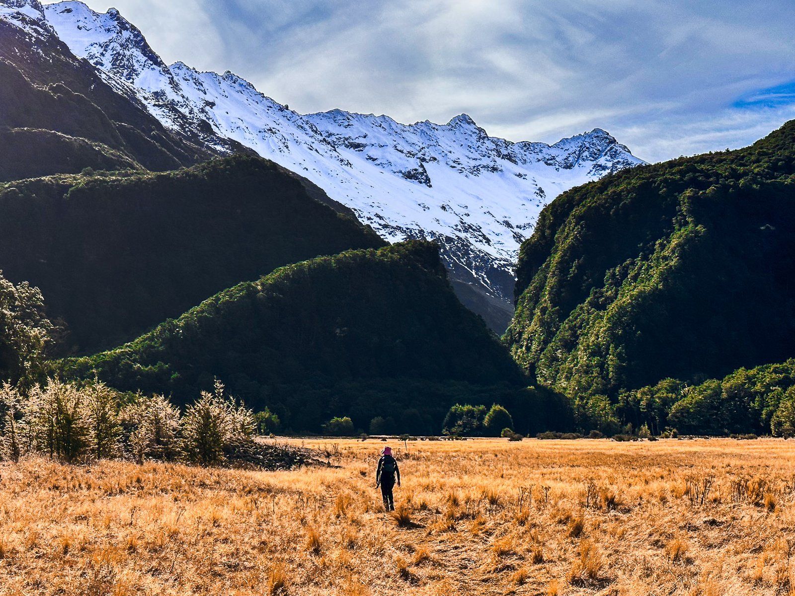
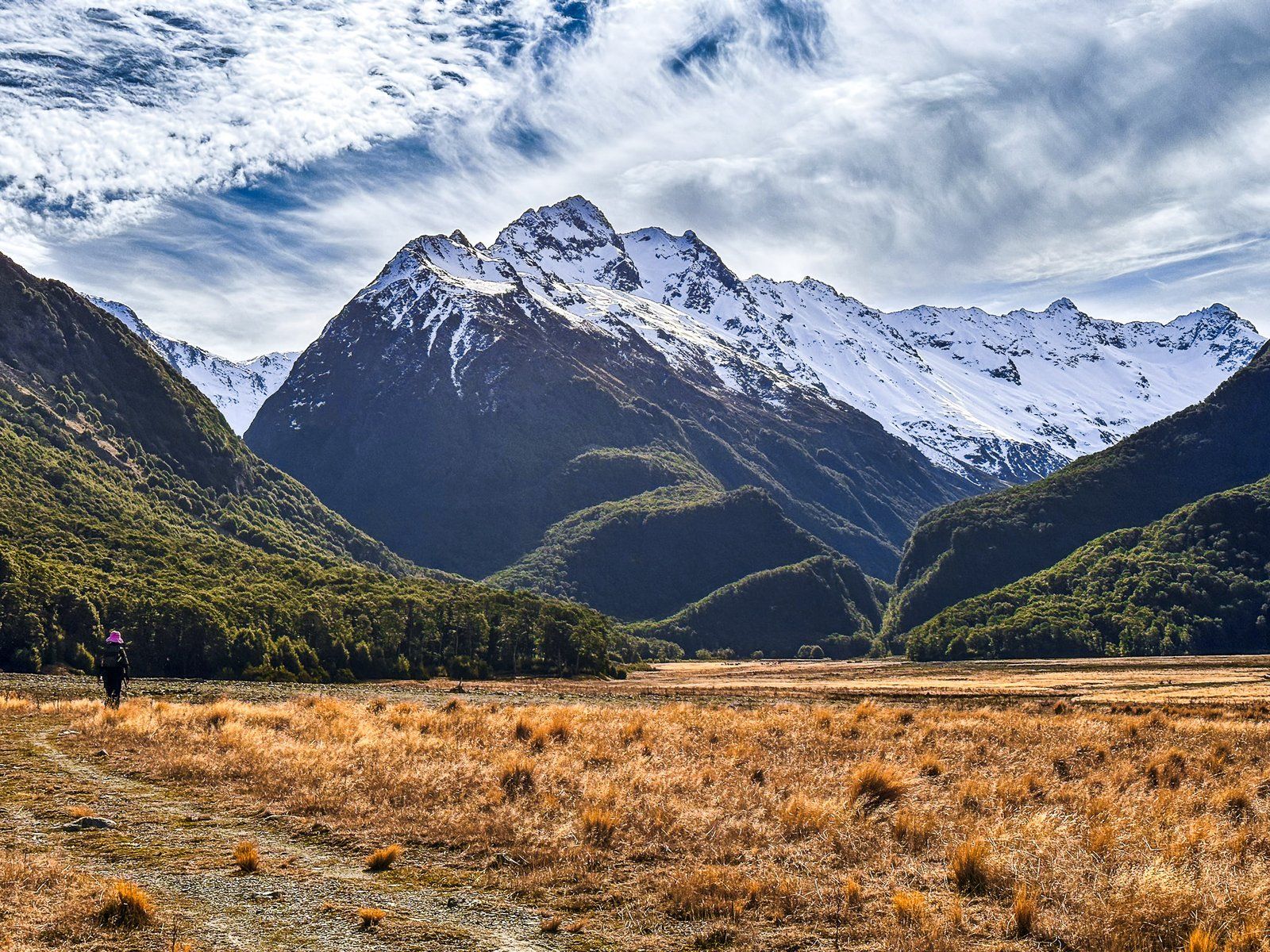
For the first 20 minutes, there is a single track, then the Canyon Creek Track heads northwest into a gap in the Huxley range, and the Ahuriri Valley Track heads northeast up the valley. This is also a campsite, although you can camp anywhere suitable in the Ahuriri Conservation Park.
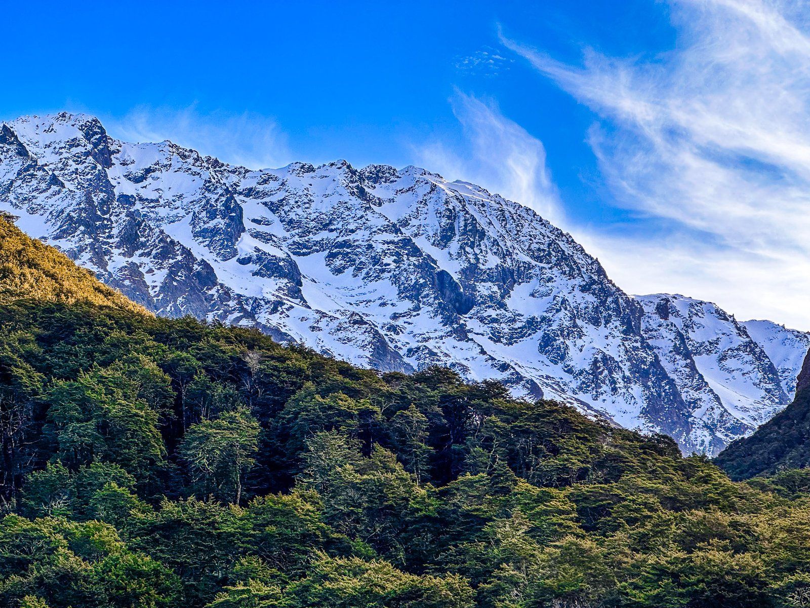
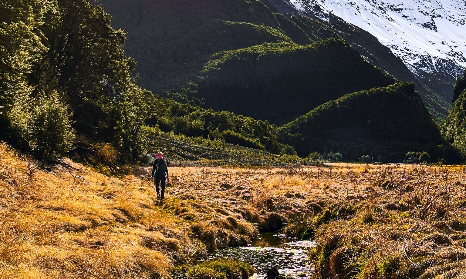
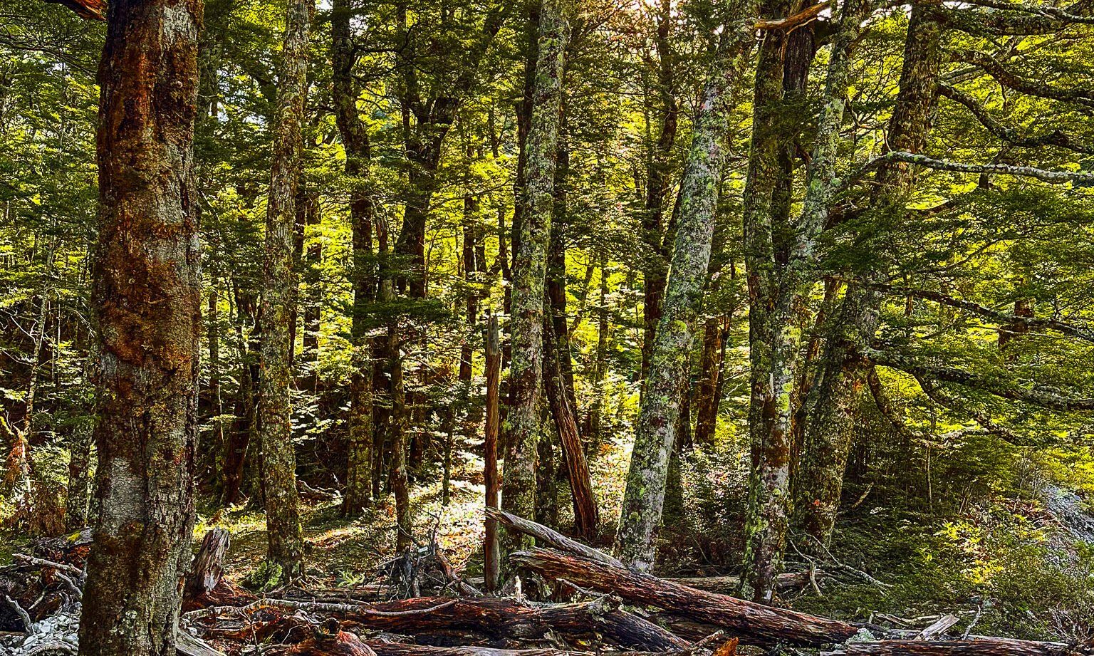
Taking Canyon Creek Track, it is about 15 minutes to the edge of the forest and the Creek. Along the way are the remnants of two very big rock and gravel sides that reach high up the surrounding mountains and bisect the beech forest. The track crosses the first of these and shirts the edge of the second. This is a reminder of how volatile and powerful erosion events can be.
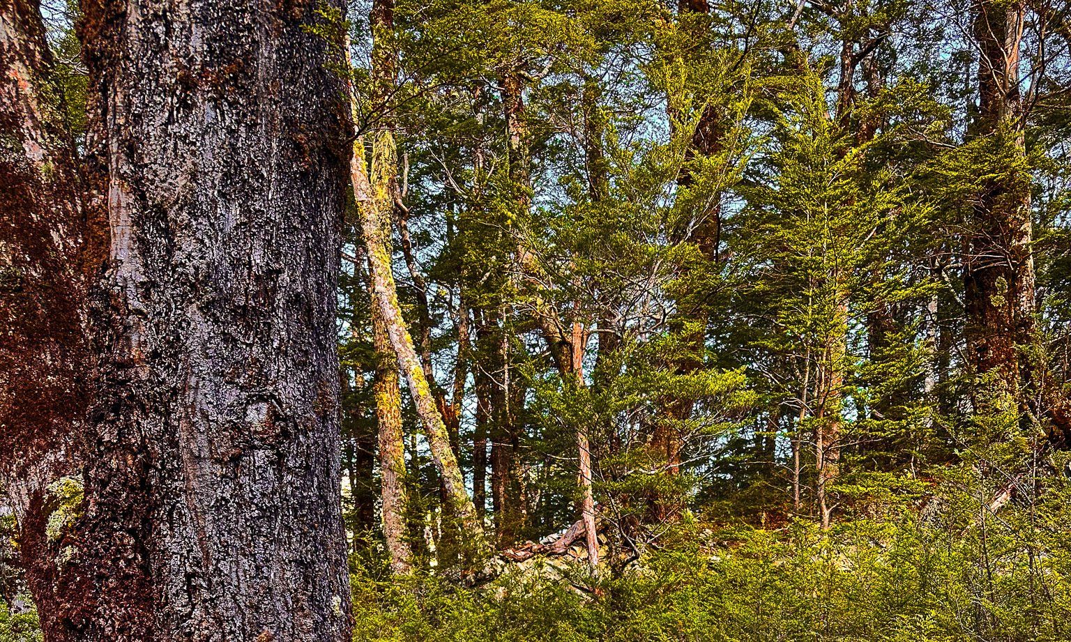
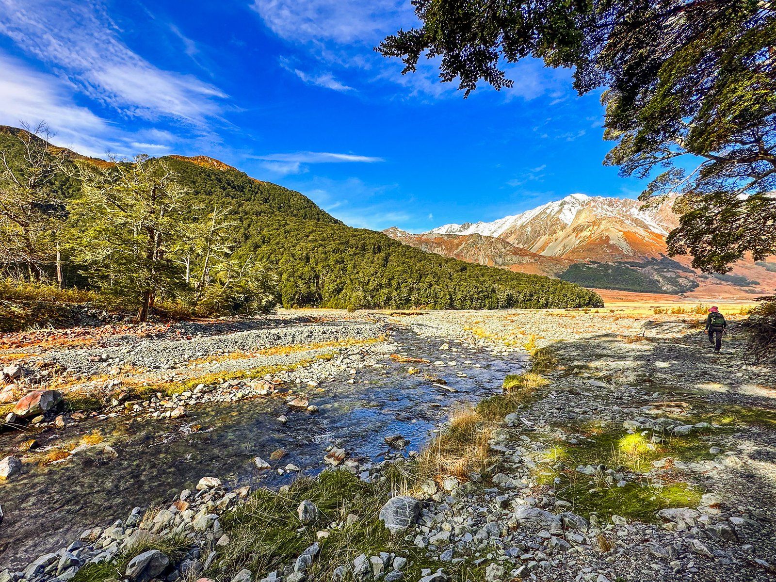
The track approaches the edge of the forest, crosses Little Canyon Stream (feet wet), and climbs 100 metres through beech forest to the canyon’s edge above Canyon Creek. From there, it takes about two hours to follow the creek to a series of waterfalls and pools below a high ridge line. This is topped by several peaks ranging from Mount Heim at 2205 metres to Mount Barth at 2456 metres that overlook the Thurneysen Glacier. At the end of the track, at just under 1000 metres, is a rock bivouac if you’d like to camp.
Another alternative is to bike the upper valley, avoiding needing a 4WD from Ahuriri Picnic Area.