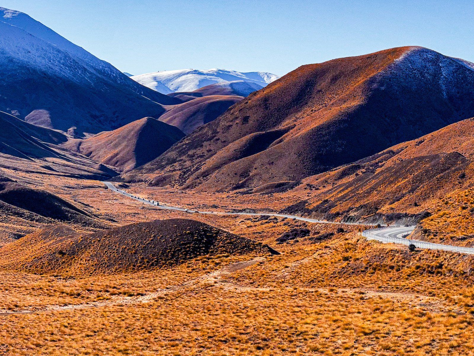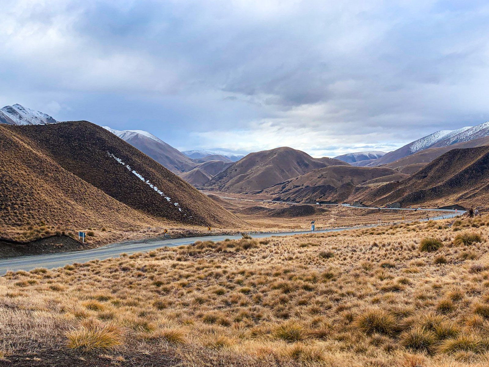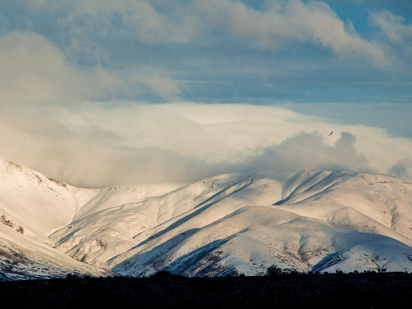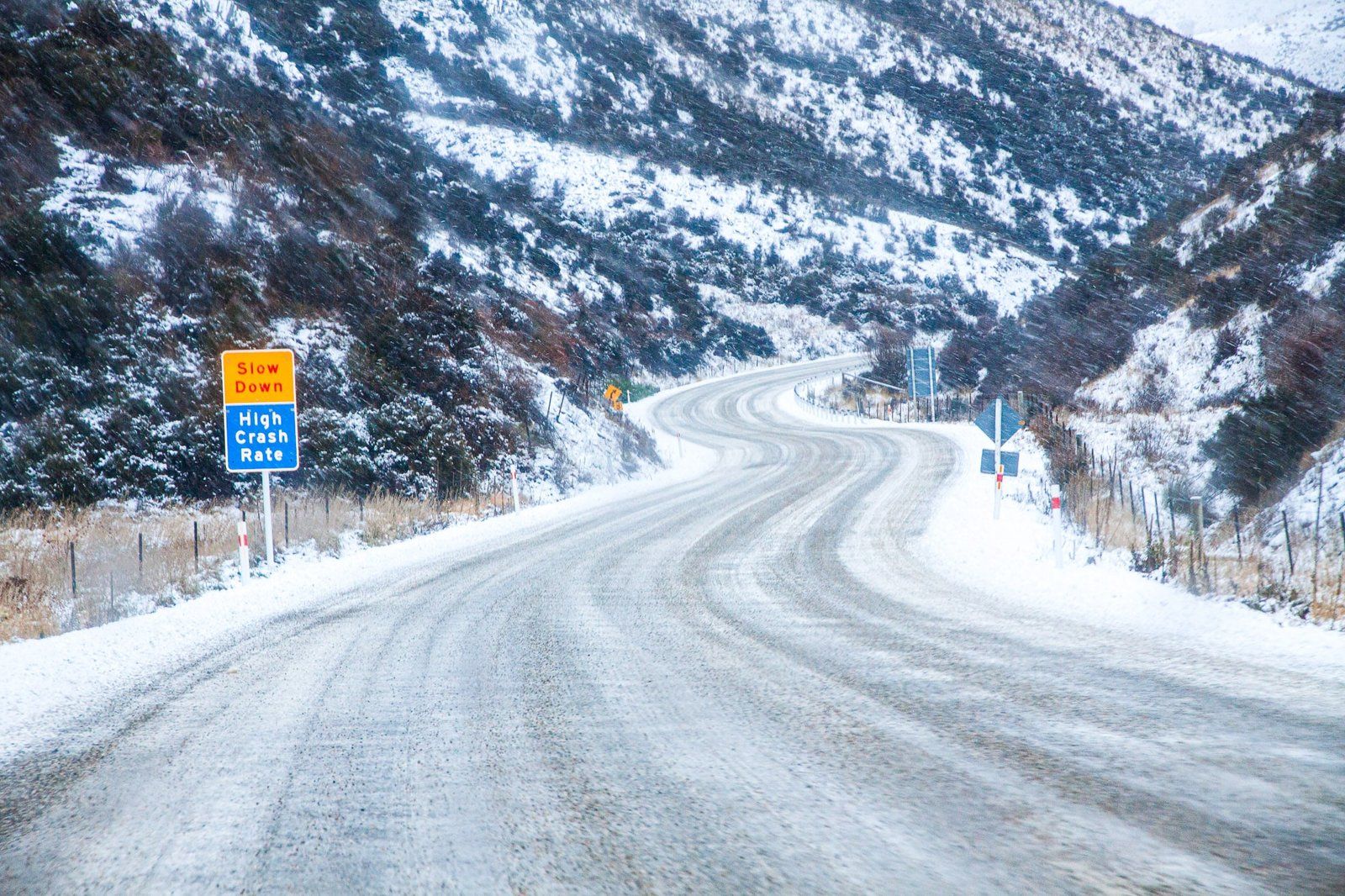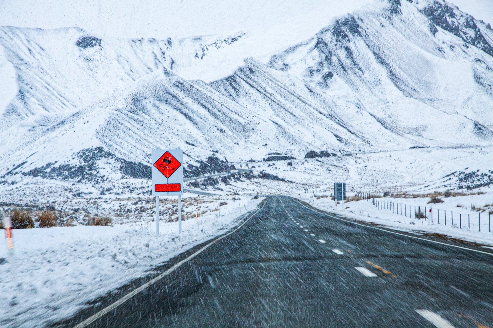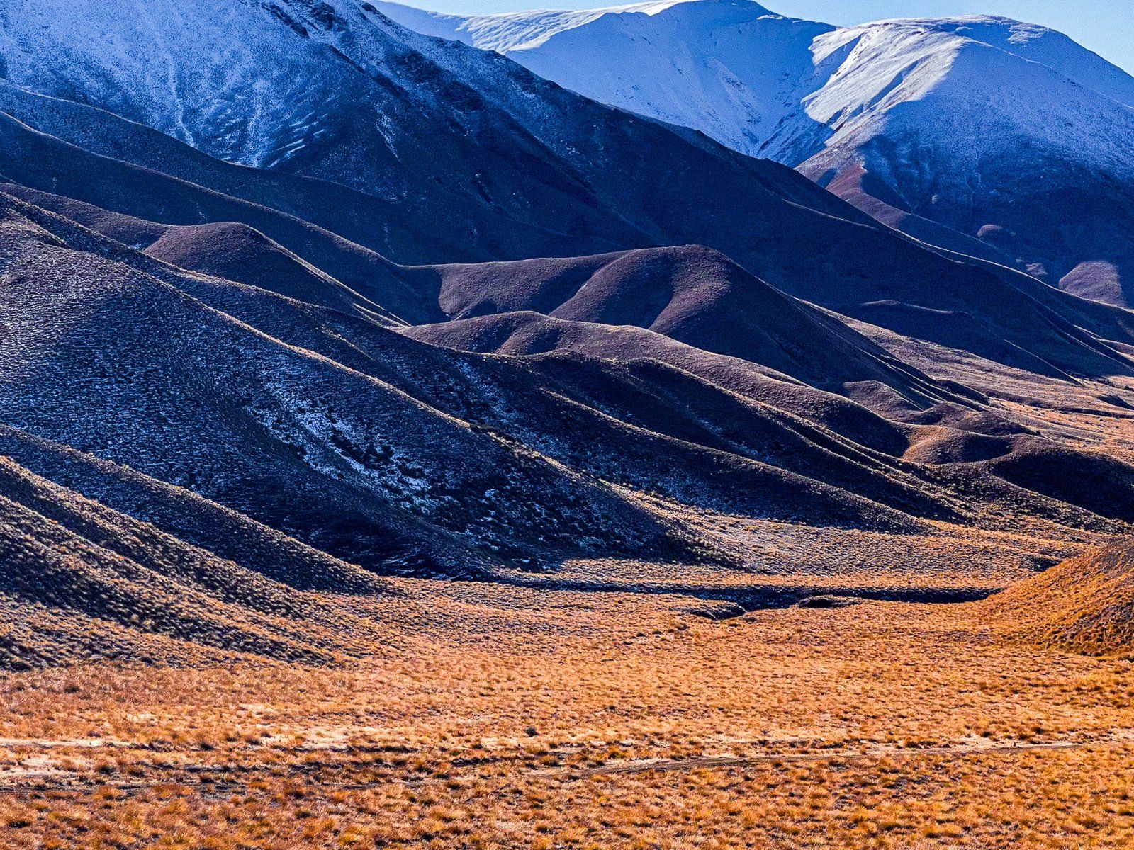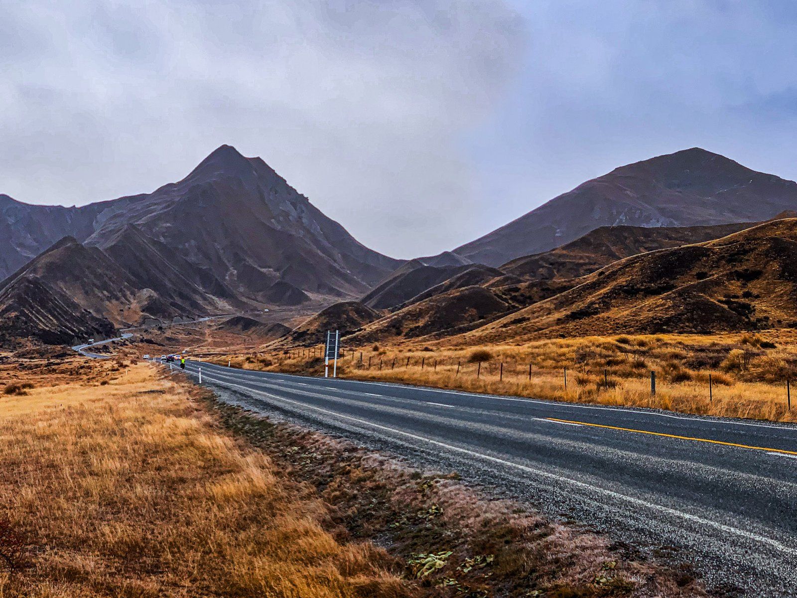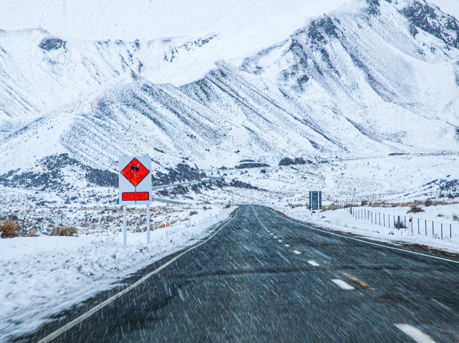
Lindis Pass is a prime example of Otago’s dry tussock highlands, accessible through State Highway 8. It’s the highest highway pass in the South Island, at 971 metres, and lies between the Dunstan Range, 1,800 metres high, to the east and other lower peaks to the west. At the north end of the pass lies the Ahuriri Valley. Although there is a chance of snow from autumn through spring, the road is typically unaffected for long periods.
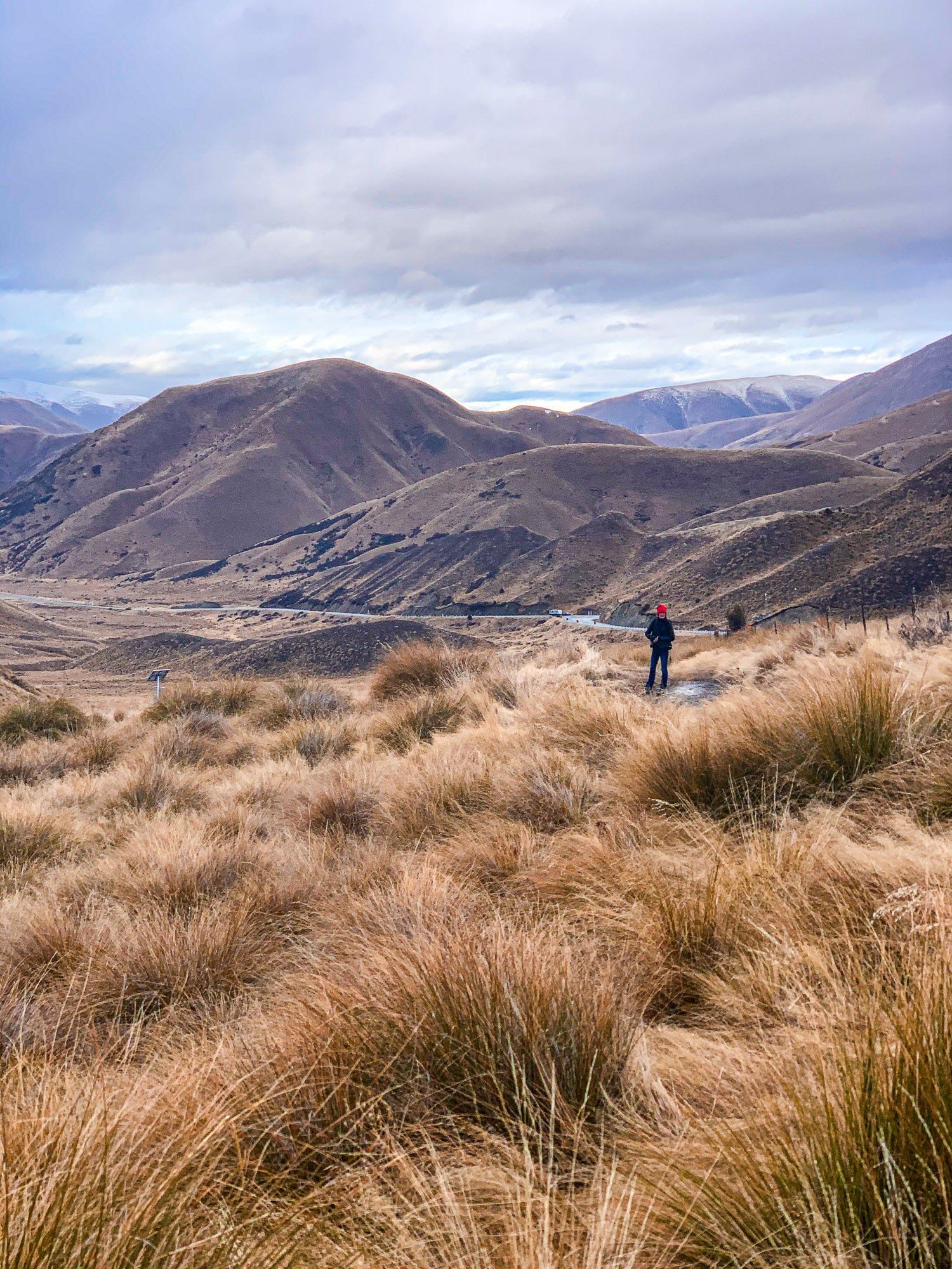
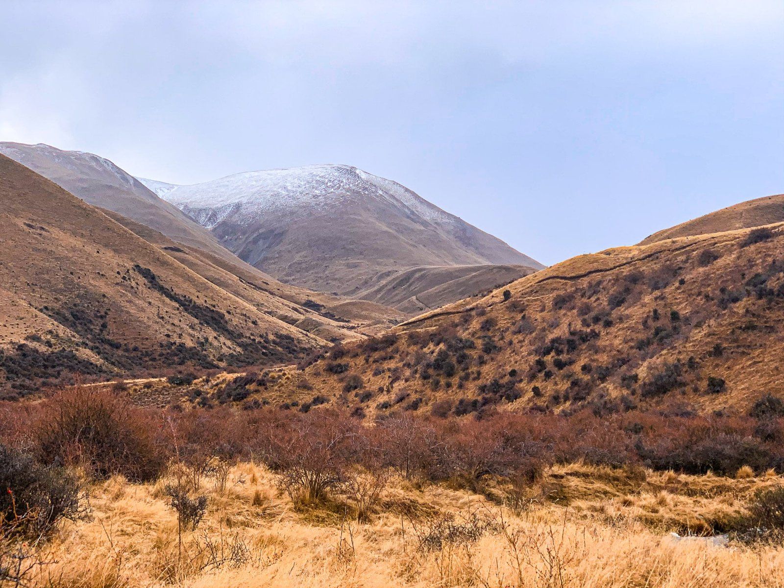
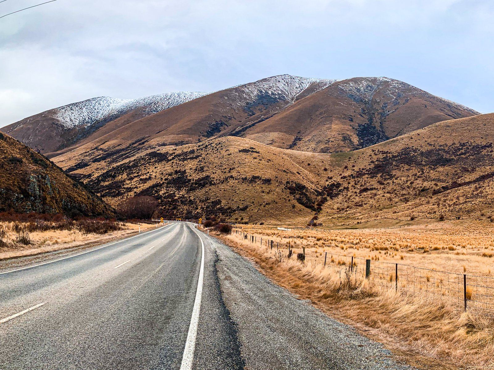
A large car park at the top of the Pass and a walk to a viewpoint amongst the tussocks provide easy access. The drive towards the Pass from either side is visually stunning, with colours ranging from brown to gold to orange/red, depending on the light and time of day. A notable feature is how pristine it looks. It has been a protected reserve since 1975 and an ongoing effort by the Lindis Conservation Group to eliminate various exotic weeds that affect other highland parts of Otago and Canterbury, such as rosehip, broom, lupins, and thistles, contribute to its pristine appearance.
Māori knew the Lindis Pass as Okahu when Europeans arrived. A well-established trail called Tahu-a-Arapaoa connected the East Coast via the Waitaki Valley, Lindis Pass and Lake Hāwea to the West Coast. Māori would walk the trail to collect pounamu/greenstone and transport it back to the East Coast.
John Turnbull Thomson, the chief surveyor for Otago, was the first European to cross the Pass in 1857. He named it Lindis Pass as a rocky outcrop reminded him of Lindisfarne Island in England. Before he got to Tarras, he added Lindis River, Lindis Valley, and Lindis Peak. A little later, the Pass became a route to NZ’s first (short-lived) gold rush on the Lindis River at Goodger Flat, now within Nine Mile Reserve.