
Around Kerikeri
Several excellent outdoor activities are available on the fringe of Kerikeri. These include two waterfalls, in addition to those on the Kerikeri River Walk, beach access plus a cliff-edge walk at Opito Bay, and short walks to groves of ancient kauri trees in Puketi Forest.
Te Wairere Falls
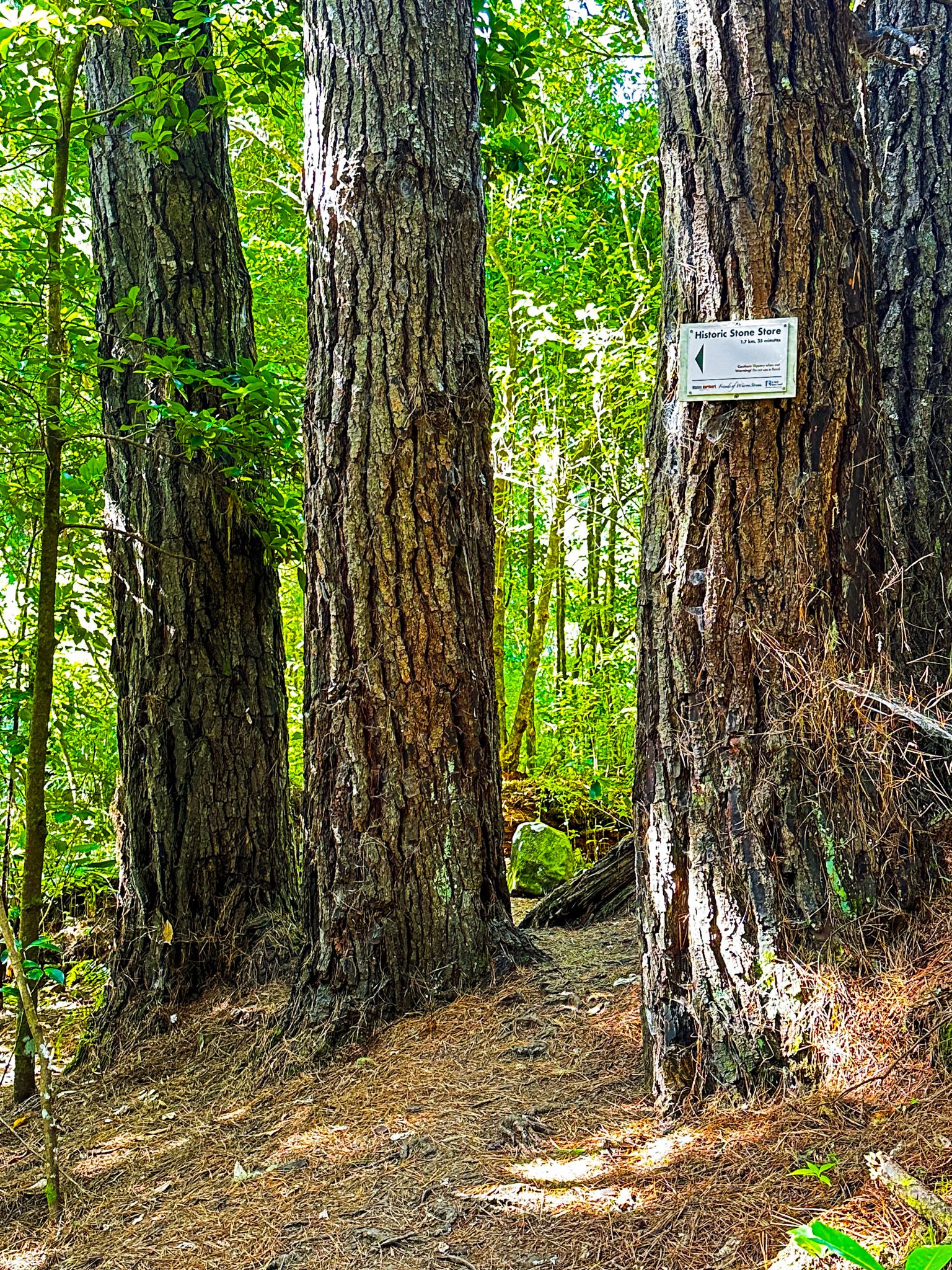
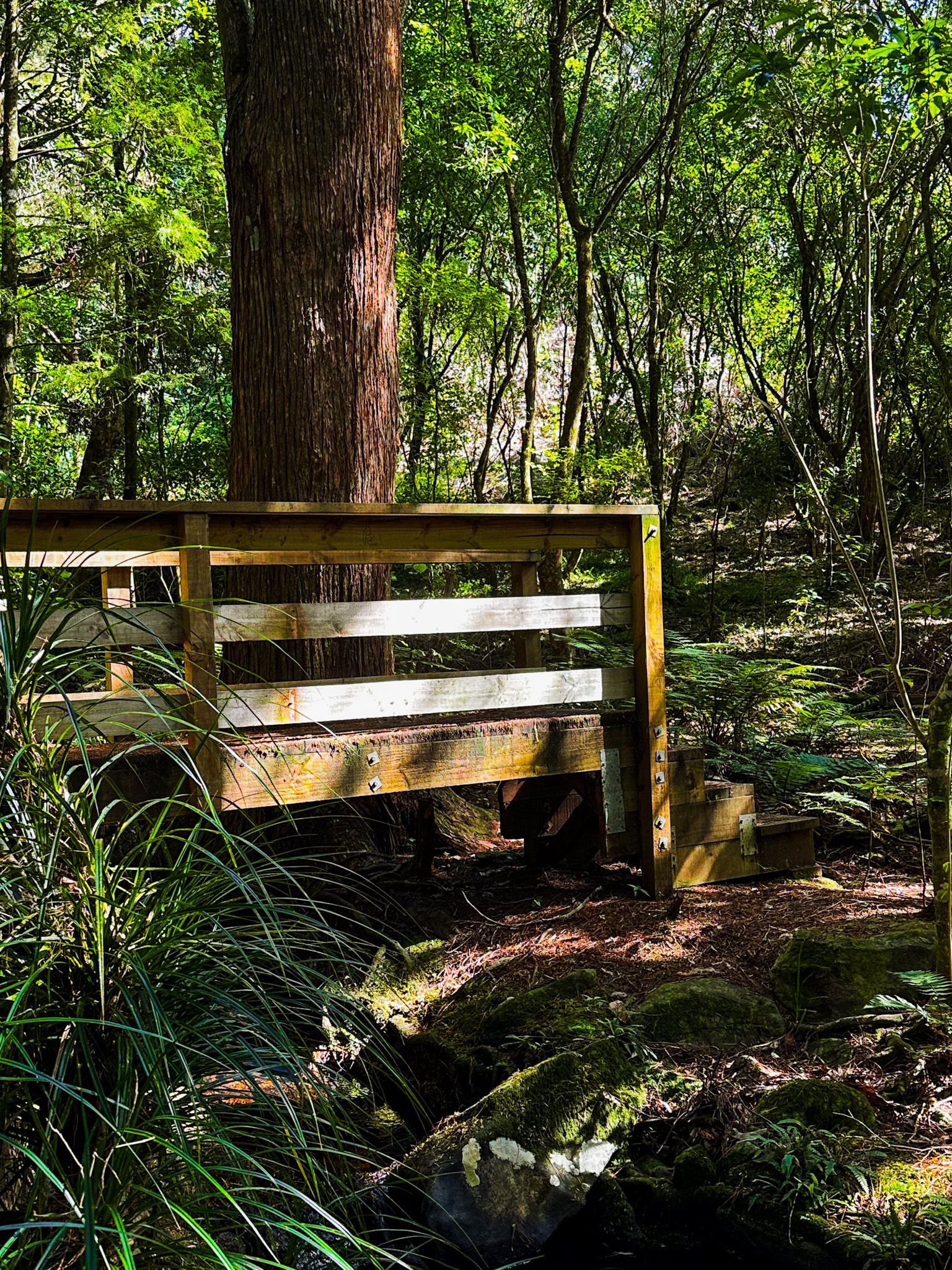
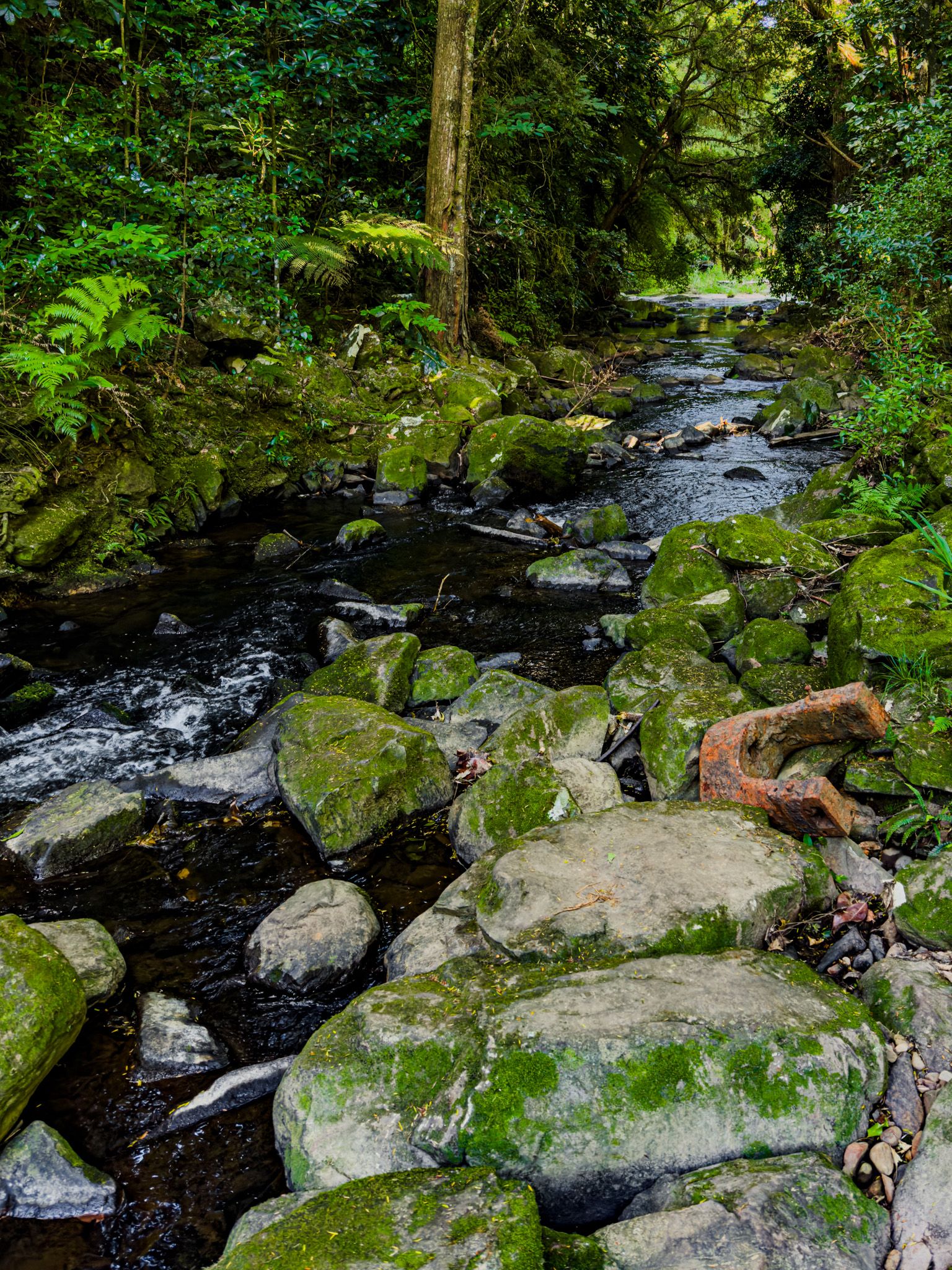
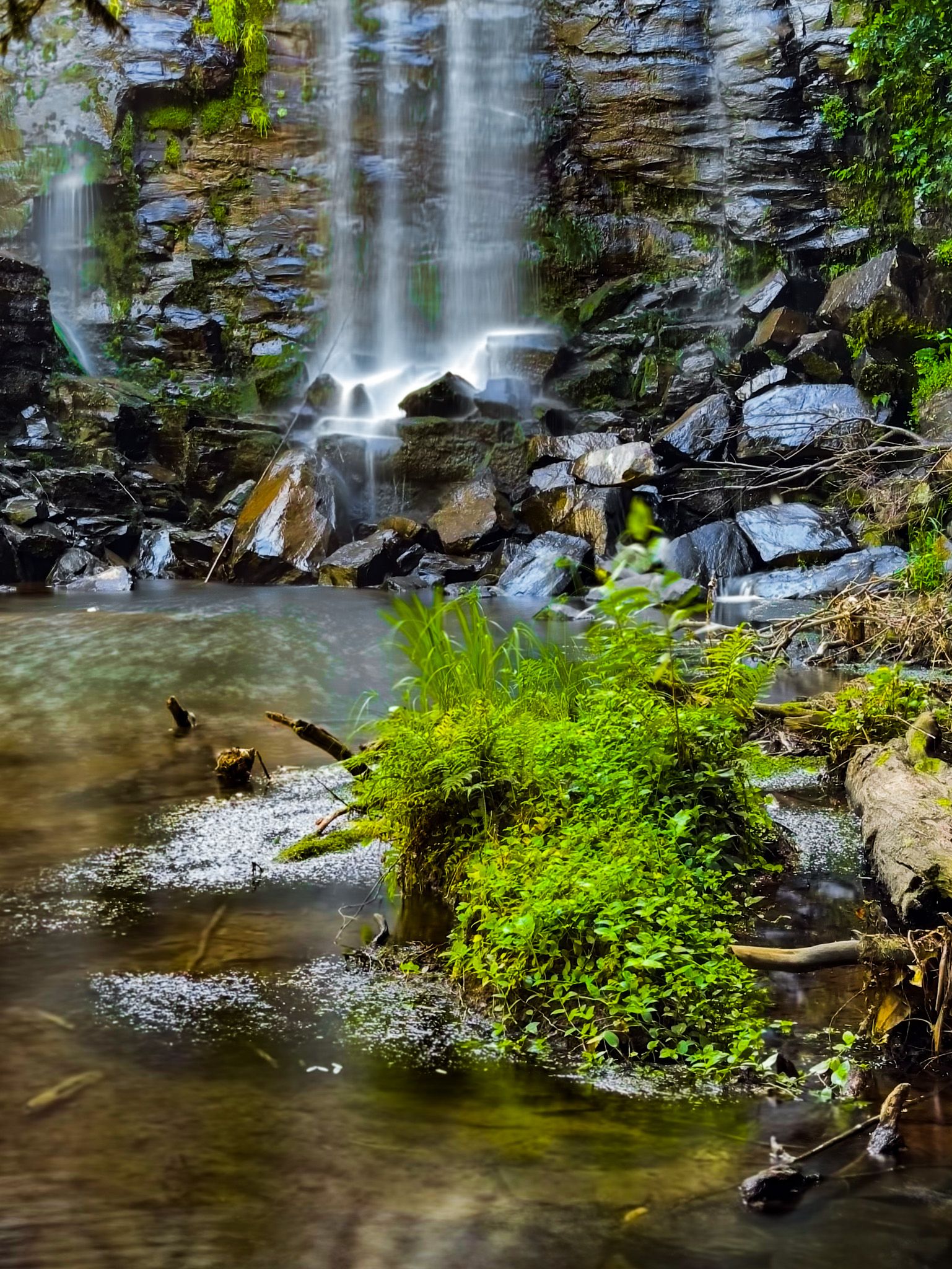
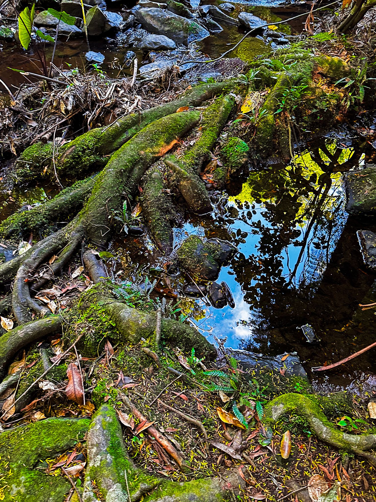
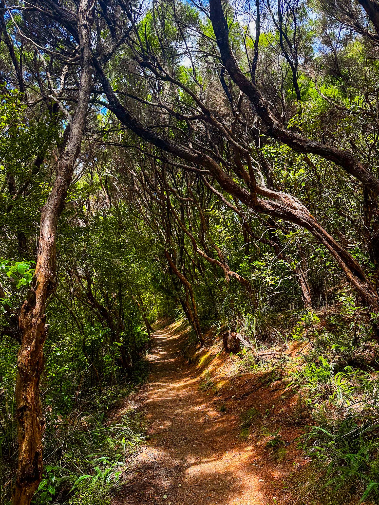
Te Wairere Falls is a 20-metre waterfall on the edge of Kerikeri that was forgotten from the 1940s to around the 2010s. It is on the Wairoa Steam in a strip of native forest on the south side of the town. It had been known and even popular, but eventually, the development of orchards covered up the access, and it disappeared from public view. Then, in 2015, Vision Kerikeri and local community groups reestablished track access and the waterfall was “rediscovered”. Like other waterfalls in the region, it drops over a basalt platform laid down by the 2 to 10-million year old Kaikohe-Bay of Islands Volcanic Field.
Pre-European, the Wairoa Stream's bank was part of an established Māori track from Kerikeri Basin and Kororipo pā to Waimate North. During the Flagstaff War of 1845, the route was used by a 400-strong detachment of colonial troops to take cannon and supplies from Onewhero Bay to Waimate North to attack Hone Heke's pa near Lake Omapere. After this, the track fell into disuse but was rediscovered by settlers who came to establish orchards during the late 1920s. Two swimming holes on the stream were popular among early orchard workers. Up until the onset of World War Two, the stream and its walkway served as the town's favoured recreational area. It features in Fiona Kidman's book "Mandarin Summer," a fictional account of the Kerikeri's early scandals.
Today, the quickest way to the waterfall is from Kerikeri Inlet Road, south of the town centre. It takes about 20 minutes on a sometimes rough track. Look out for the side track to a minor waterfall. You can also walk the ancient trail from Koropiro Historic Reserve immediately south of the Stone Store or take another option from Cobham Road.
Charlies Rock
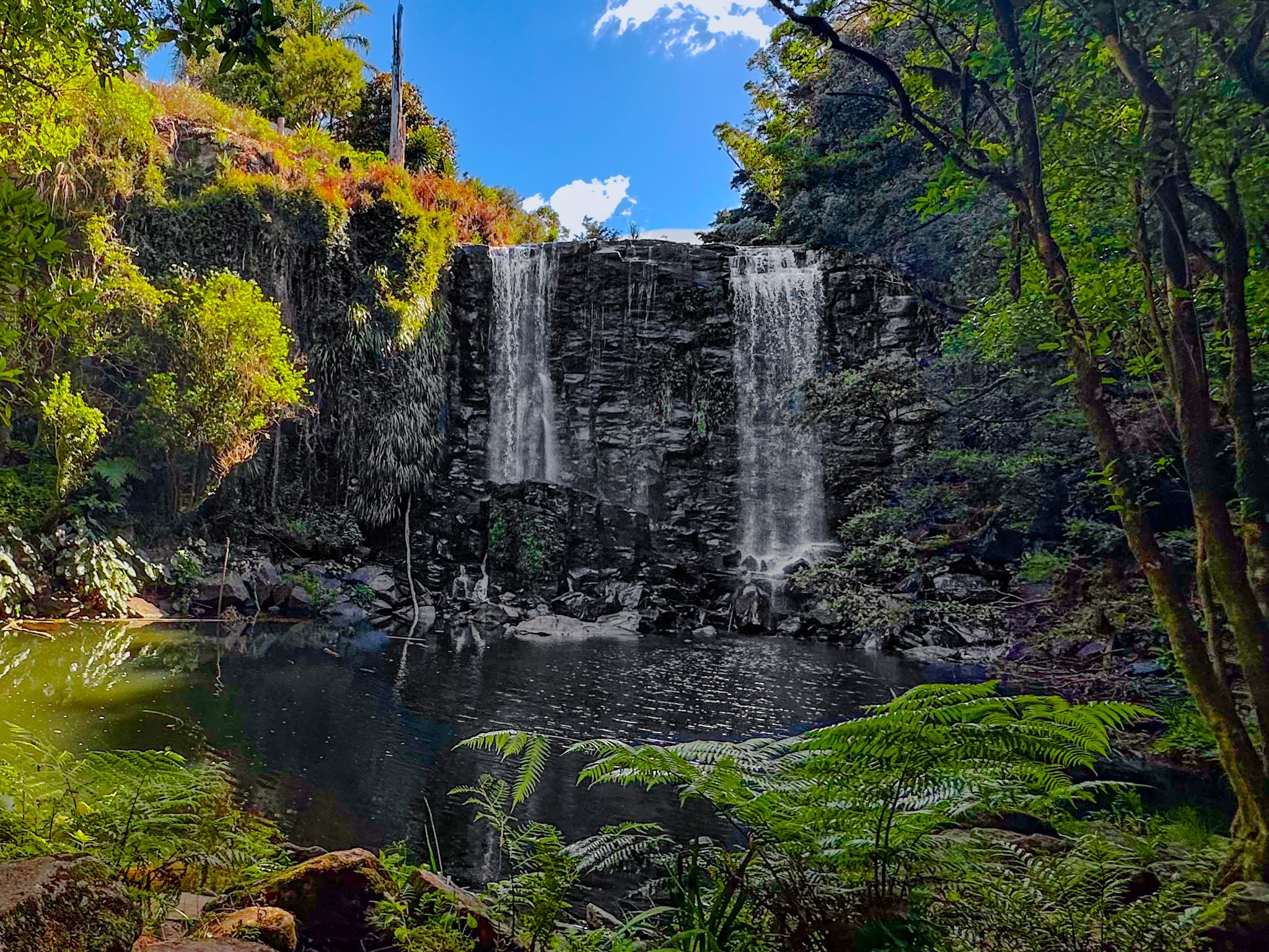
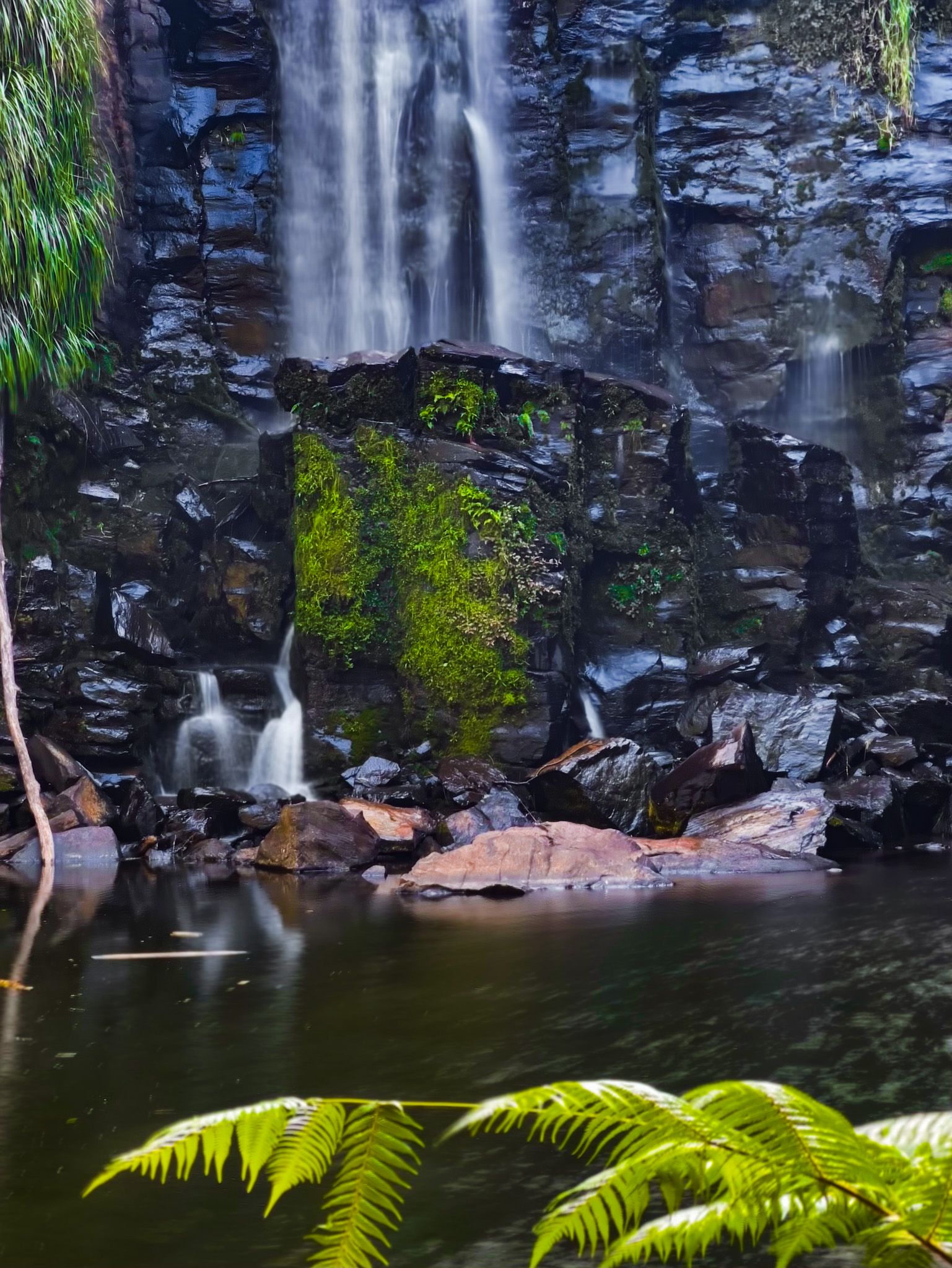
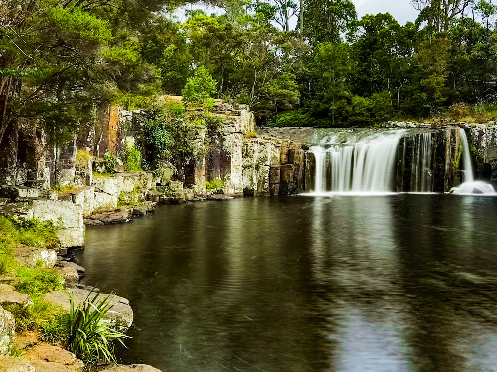
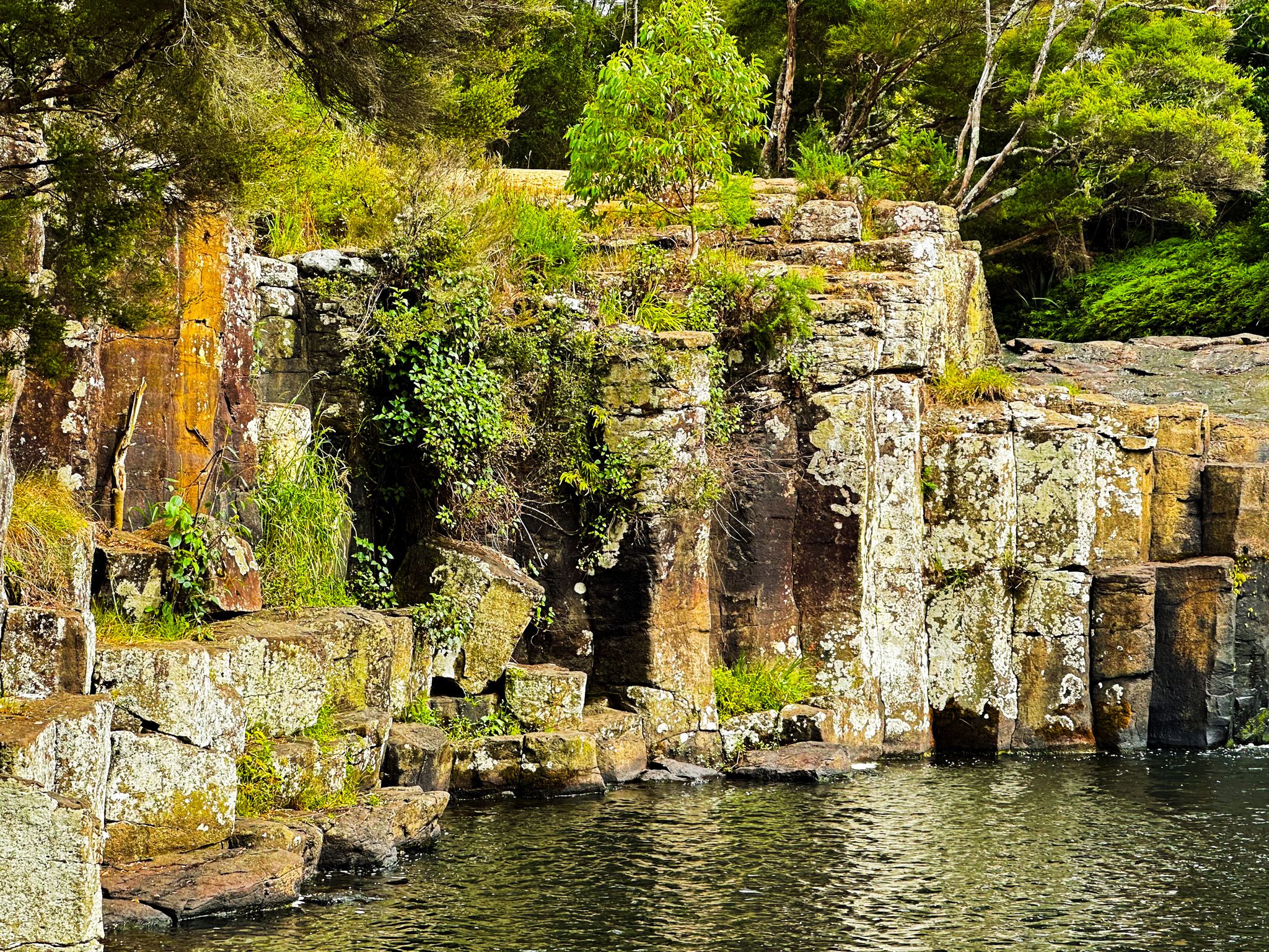
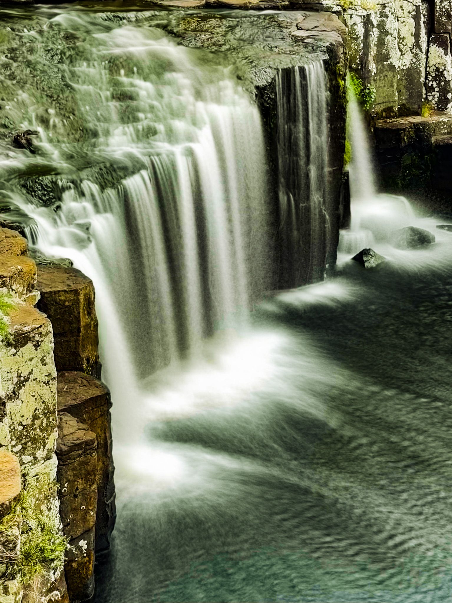
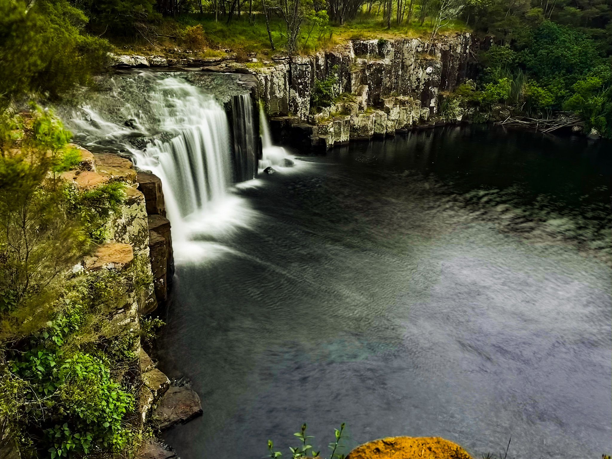
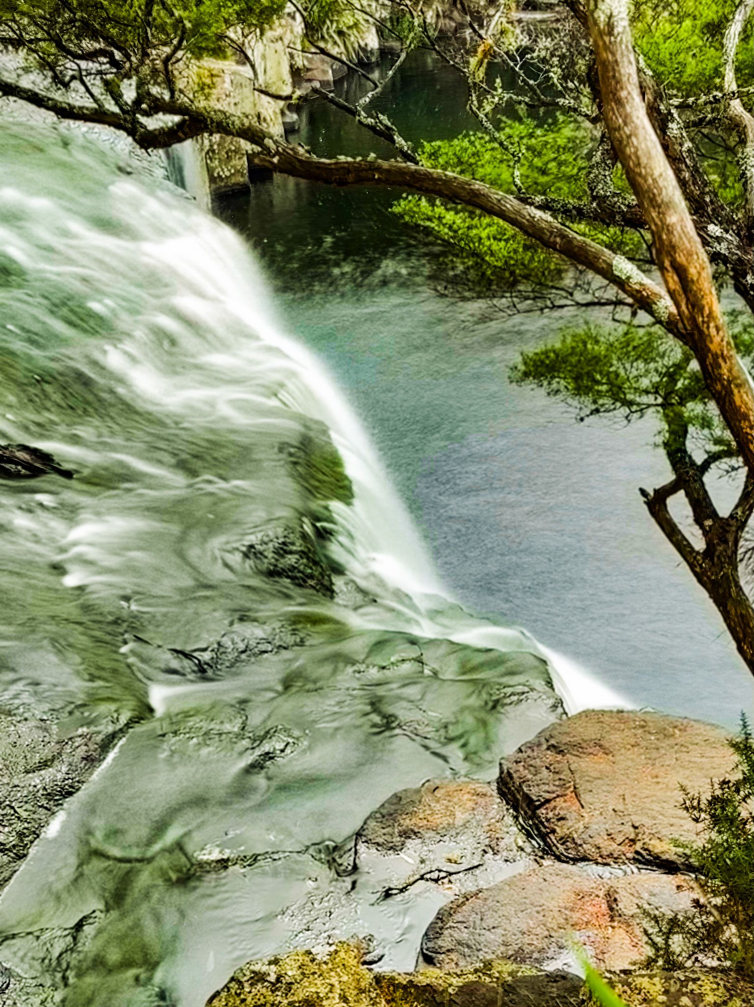
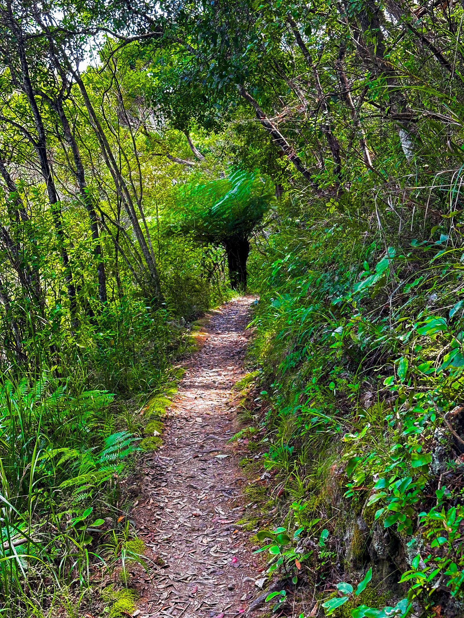
Charlies Rock is one of several waterfalls in and around Kerikeri, Northland. Like Te Wairere Falls, it had been cut off from public access for many years by orchard development. In 2010, local high school students worked with the council to develop the track to the falls, opening up access. It is a popular local destination; you may see people jumping off the cliff. But this is dangerous without local knowledge coupled with some skill and considerable confidence!
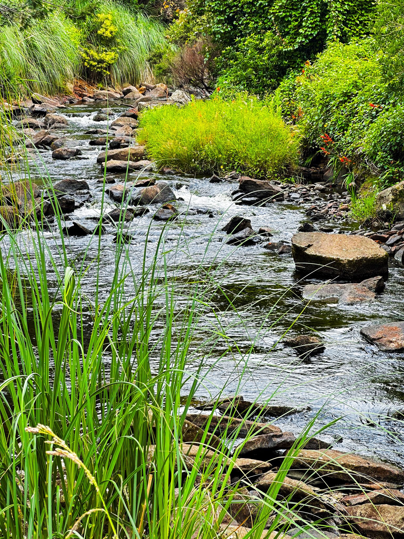
The waterfall is beautiful, 12 metres high and about 24 metres wide. The Waipapa Stream flows over a wide 10-million year old volcanic basalt rock formation that forms a U-shaped amphitheatre around a large and deep swimming hole. You can pick out the columnar nature of the basalt rock and cliffs.
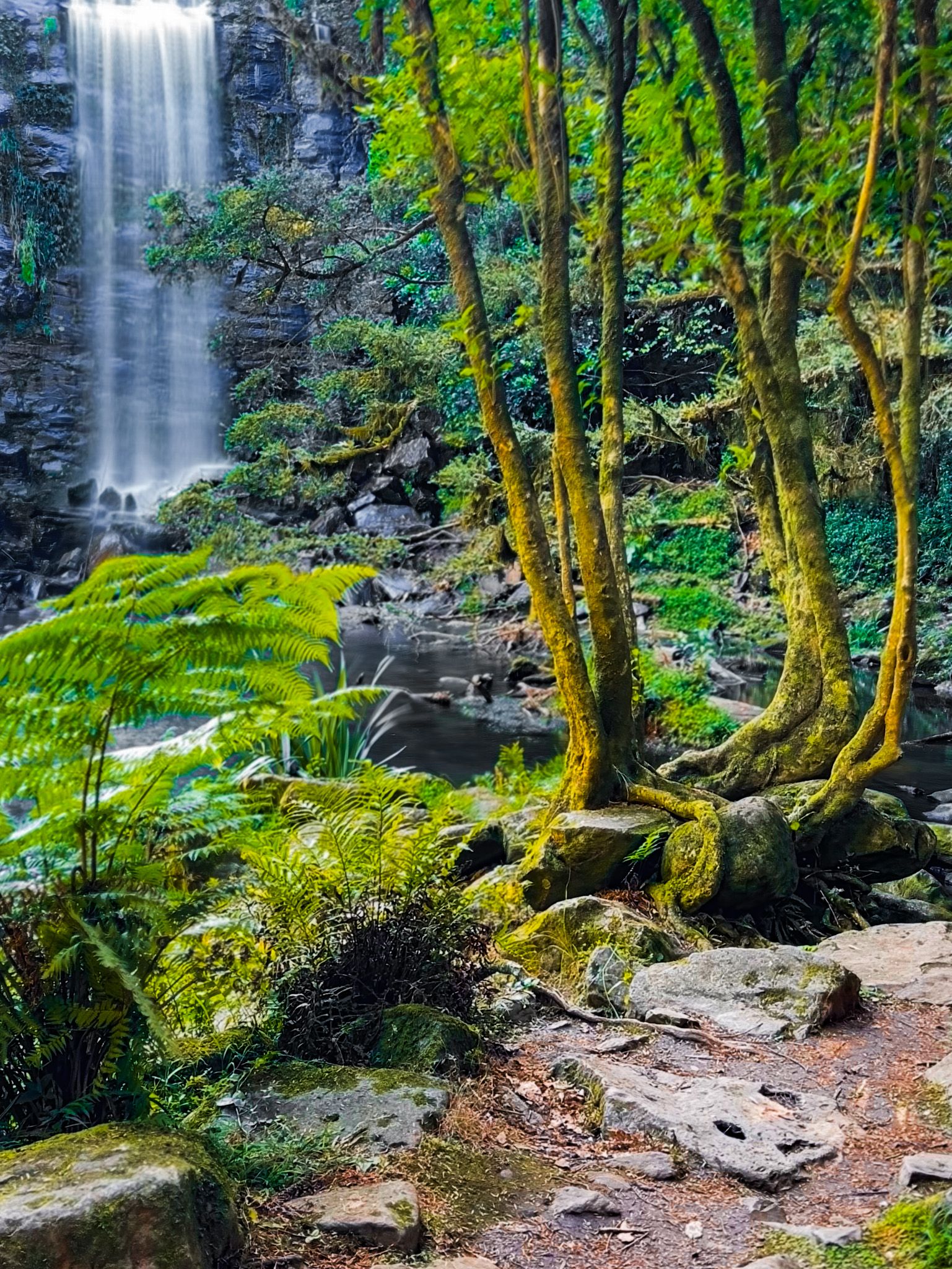
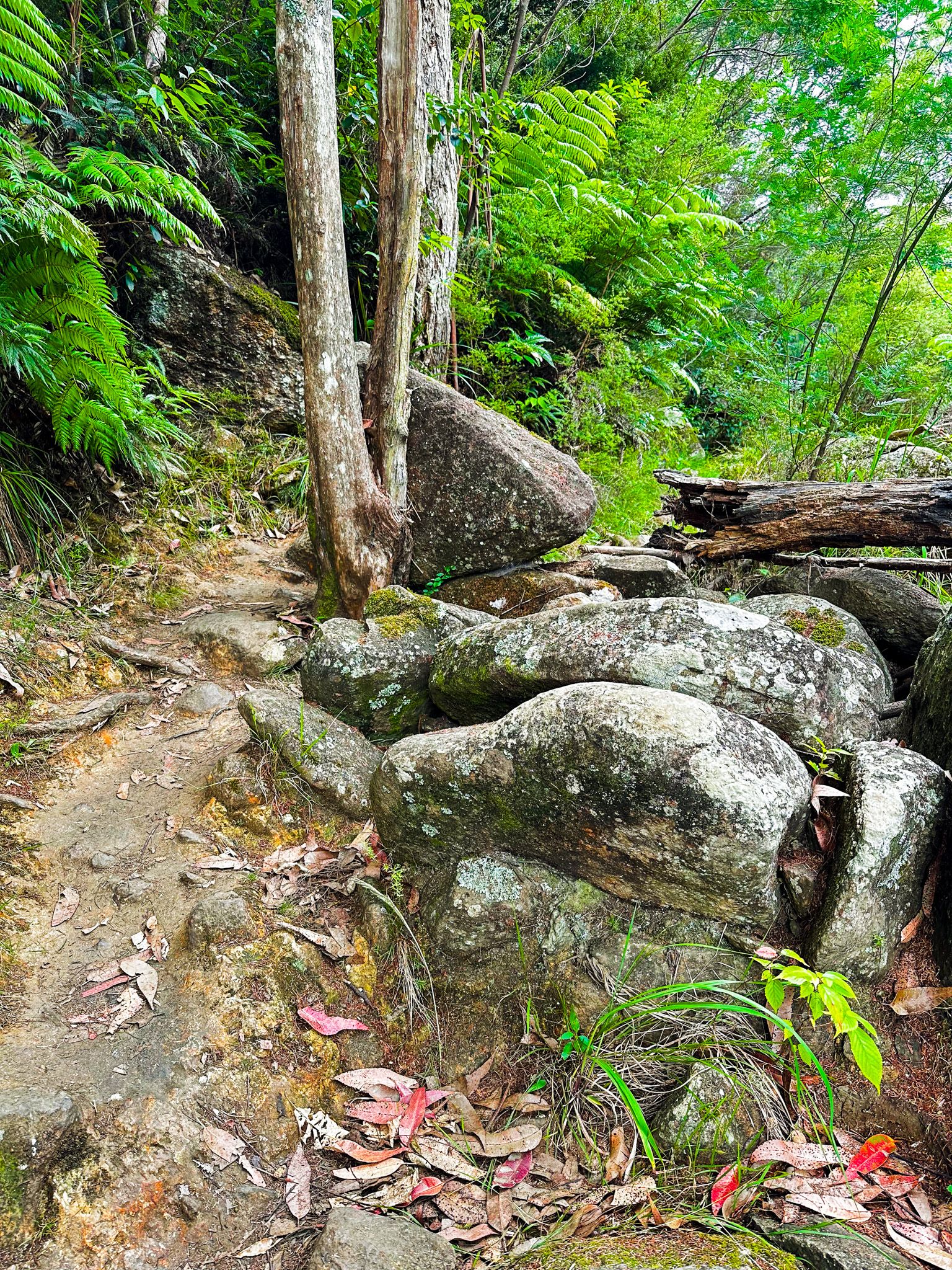
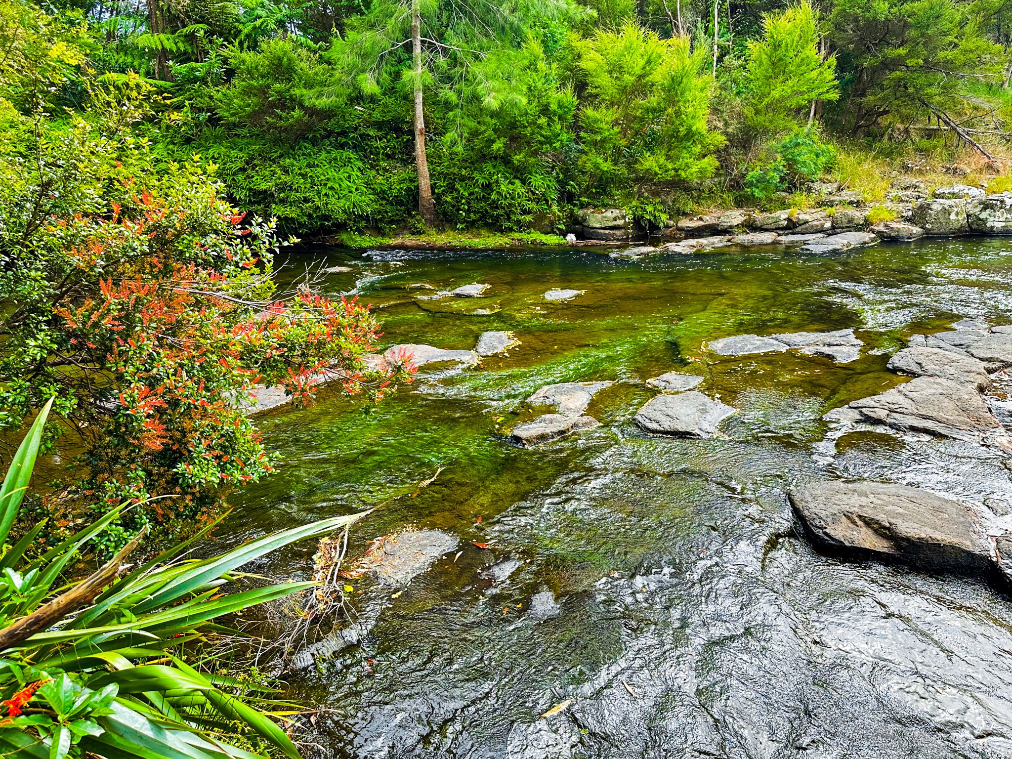
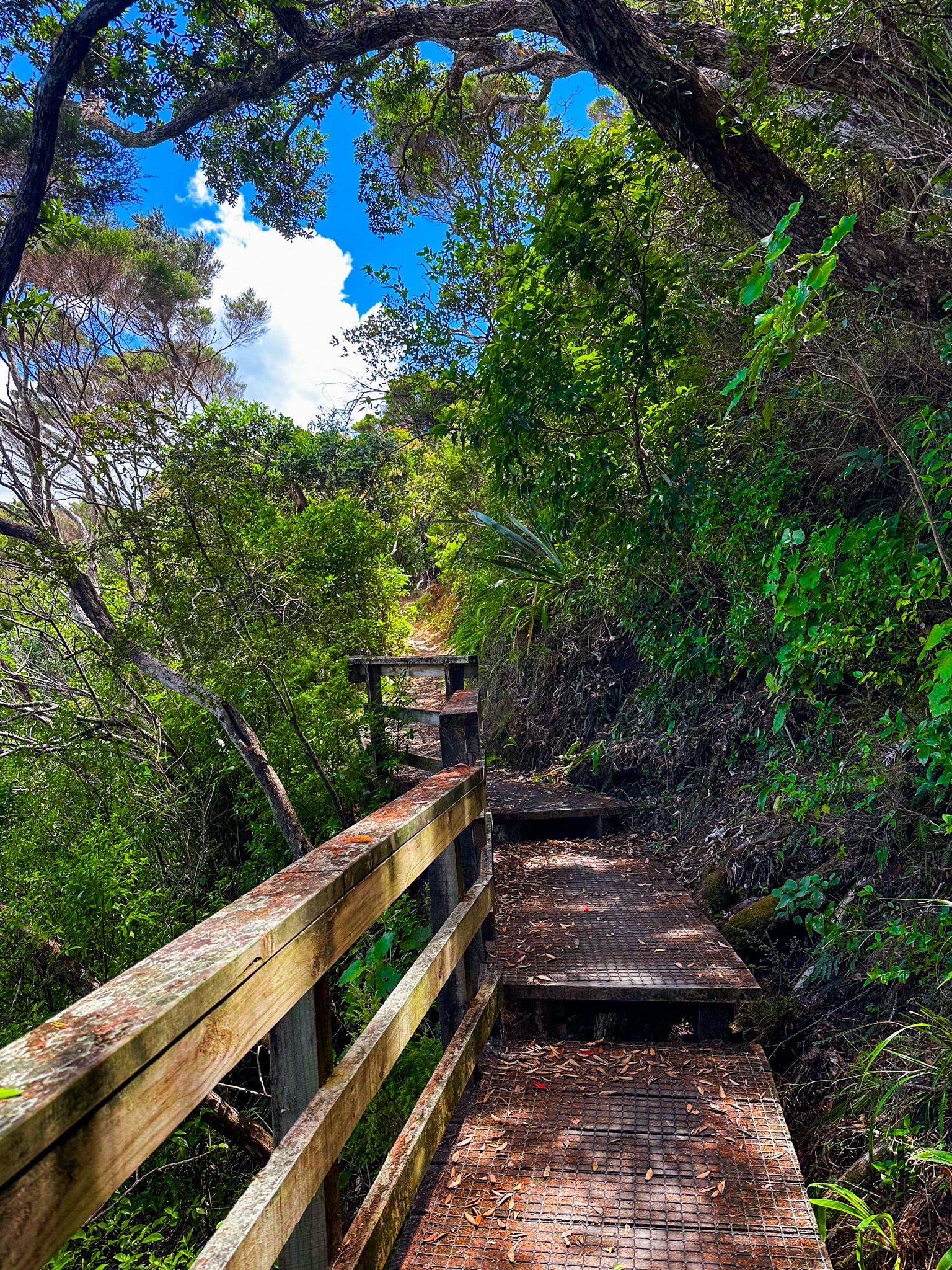
It is a 15-minute walk to the falls from a rather obscure track signpost on Landing Road. The walk initially passes alongside a paddock, then enters a narrow, pretty strip of scrubby forest regrowth along the stream's edge. It is mostly easy but muddy and rocky in a couple of places. After about 10 minutes, you reach the edge of the rock amphitheatre and can access the pool below the falls directly from the track. The track climbs sharply to the top of the amphitheatre and terminates at the falls.
To get to Charlies Rock from the town centre, go north on Heritage Bypass Road, then turn east onto Waipapa Road at the roundabout. At the next roundabout, turn north onto Landing Road. The track access is about 1.2 km along Landing Road, just before Waipapa Landing, where Waipapa Stream enters Kerikeri Basin. Park beside the reserve at the landing, then walk back to the track access on the north side of the road (about 60 metres).


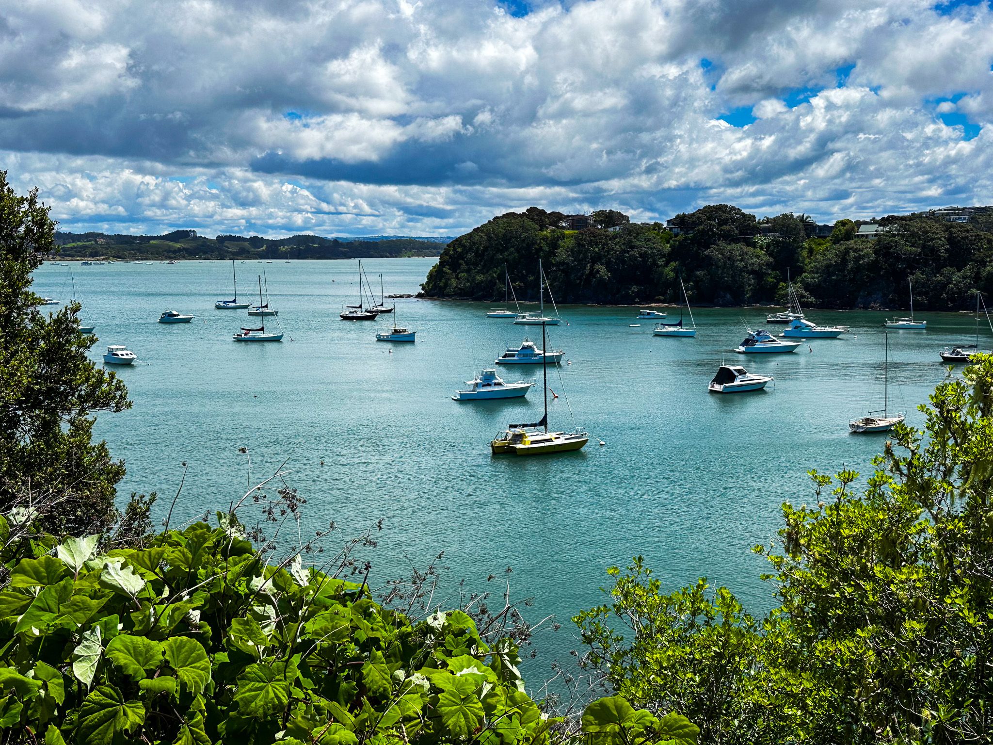
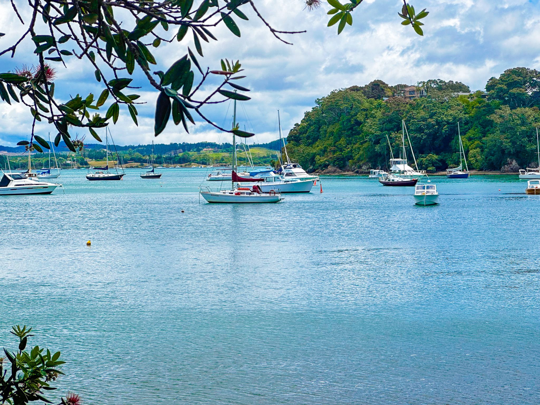
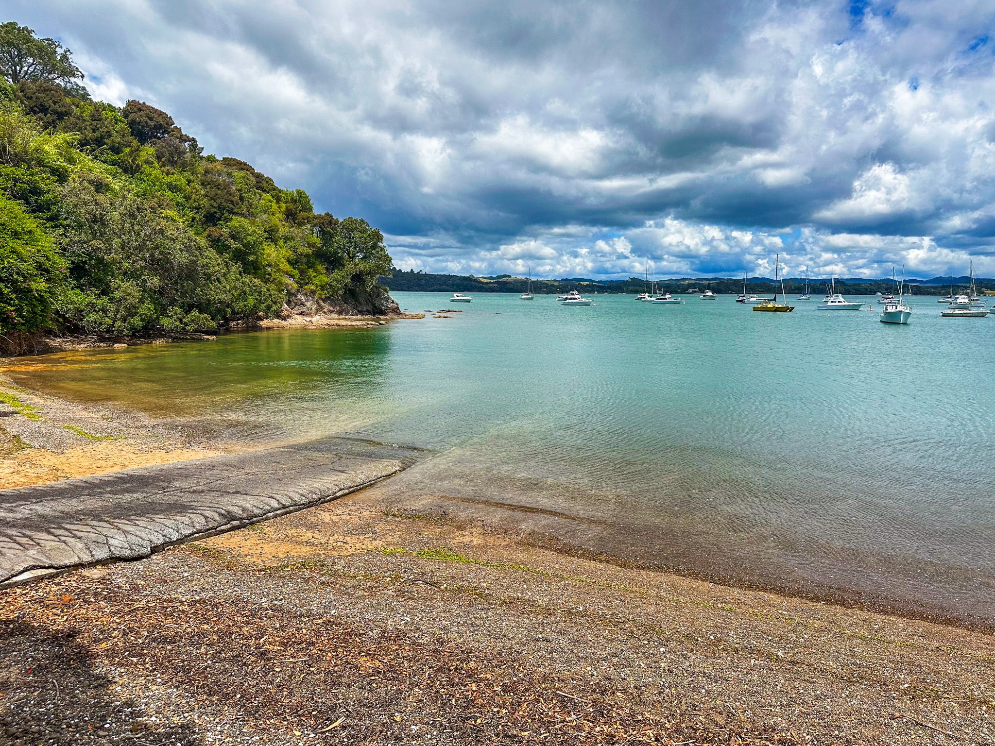
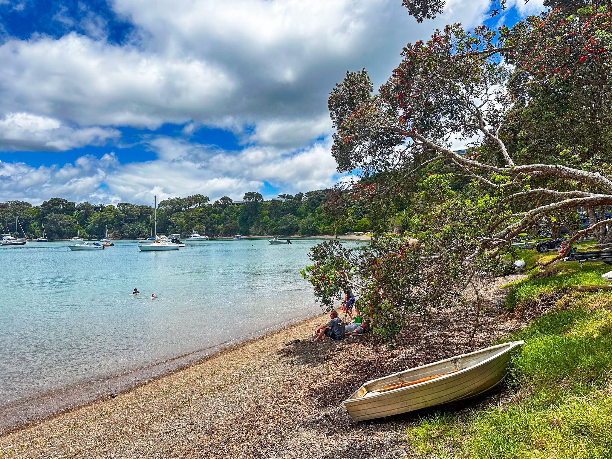
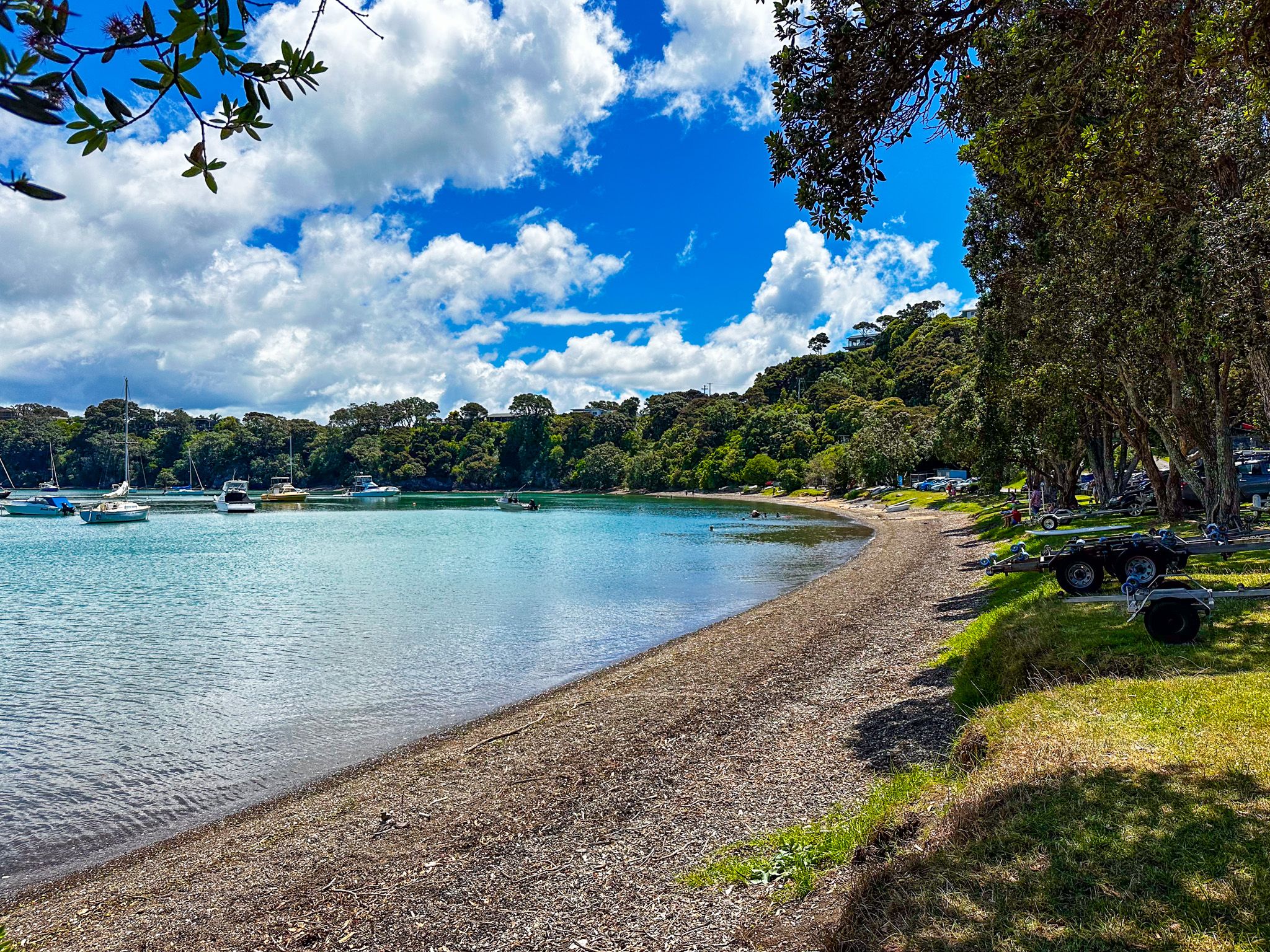
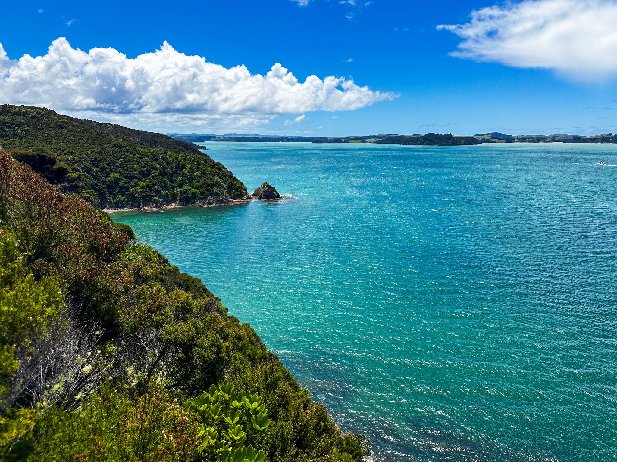
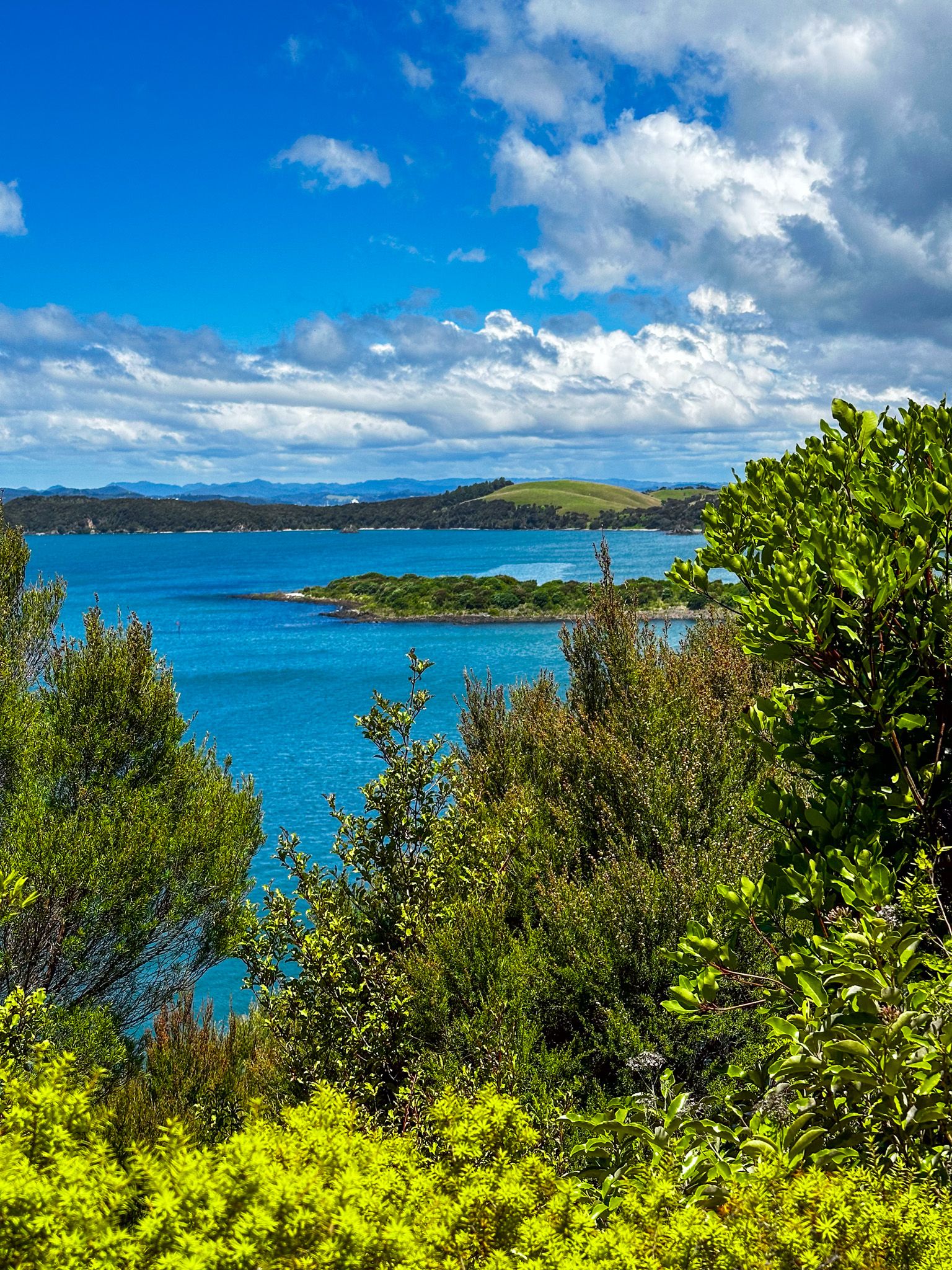
Opito Bay
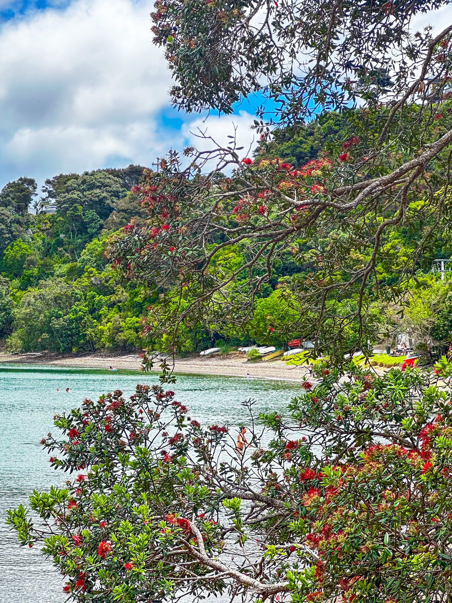
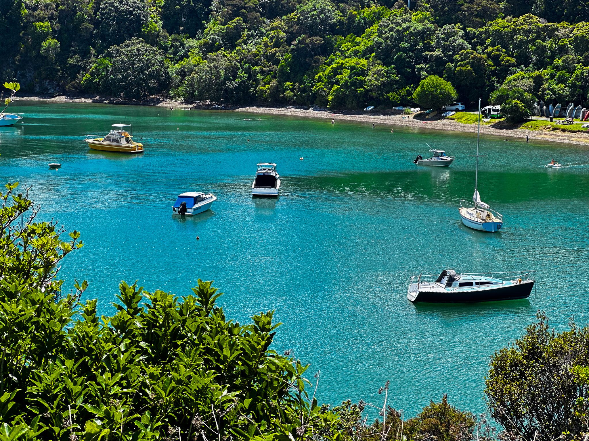
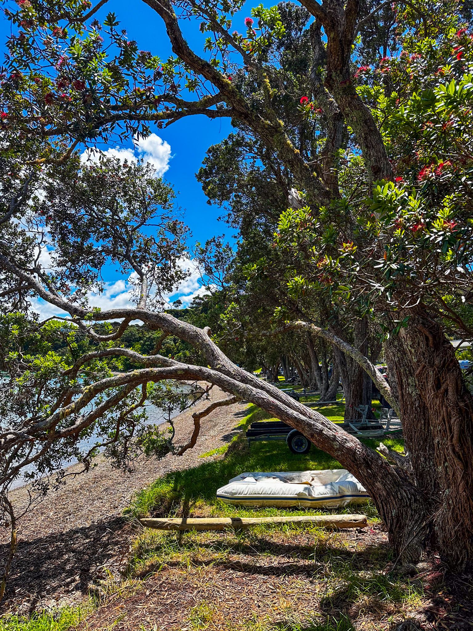
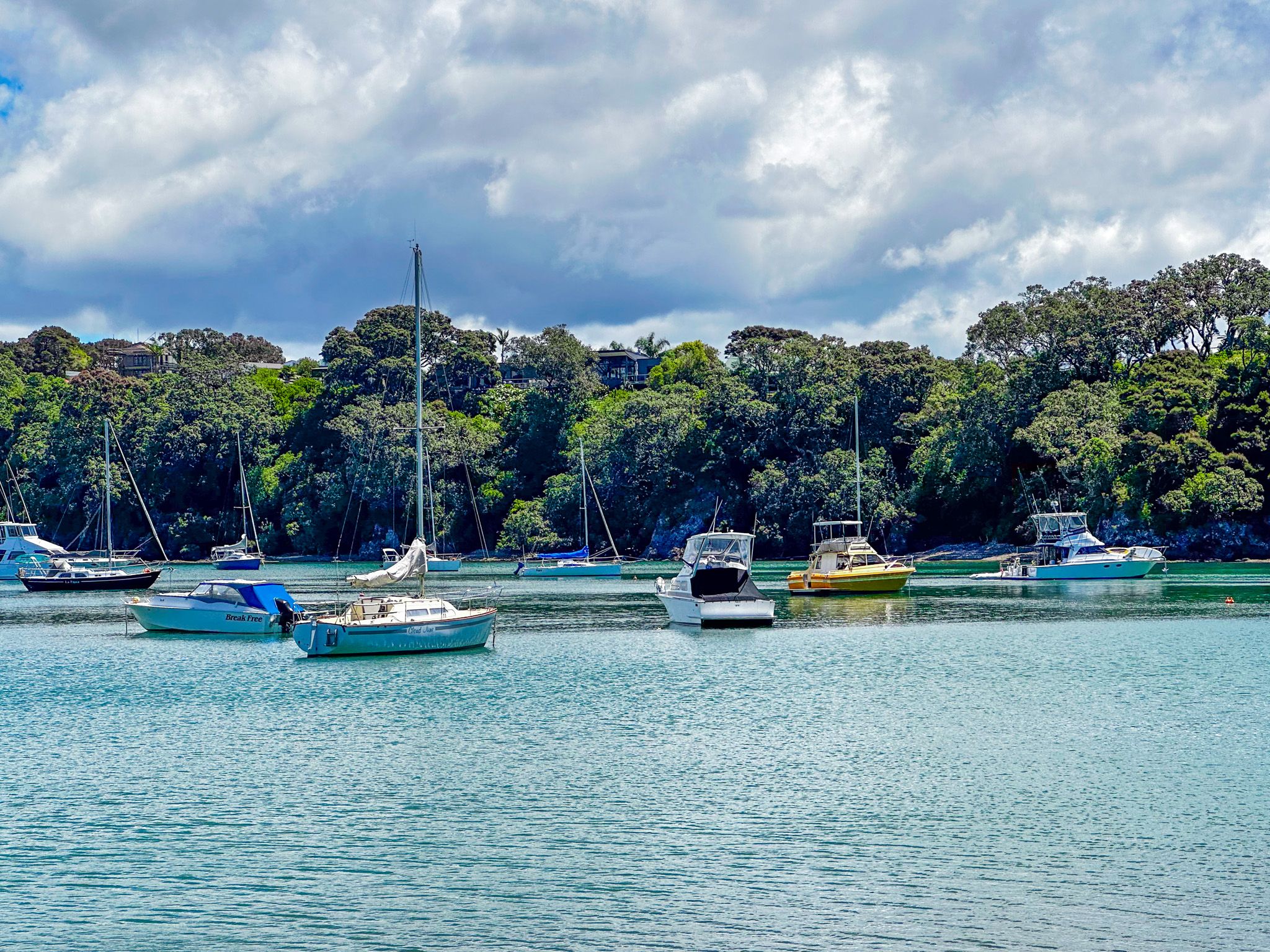
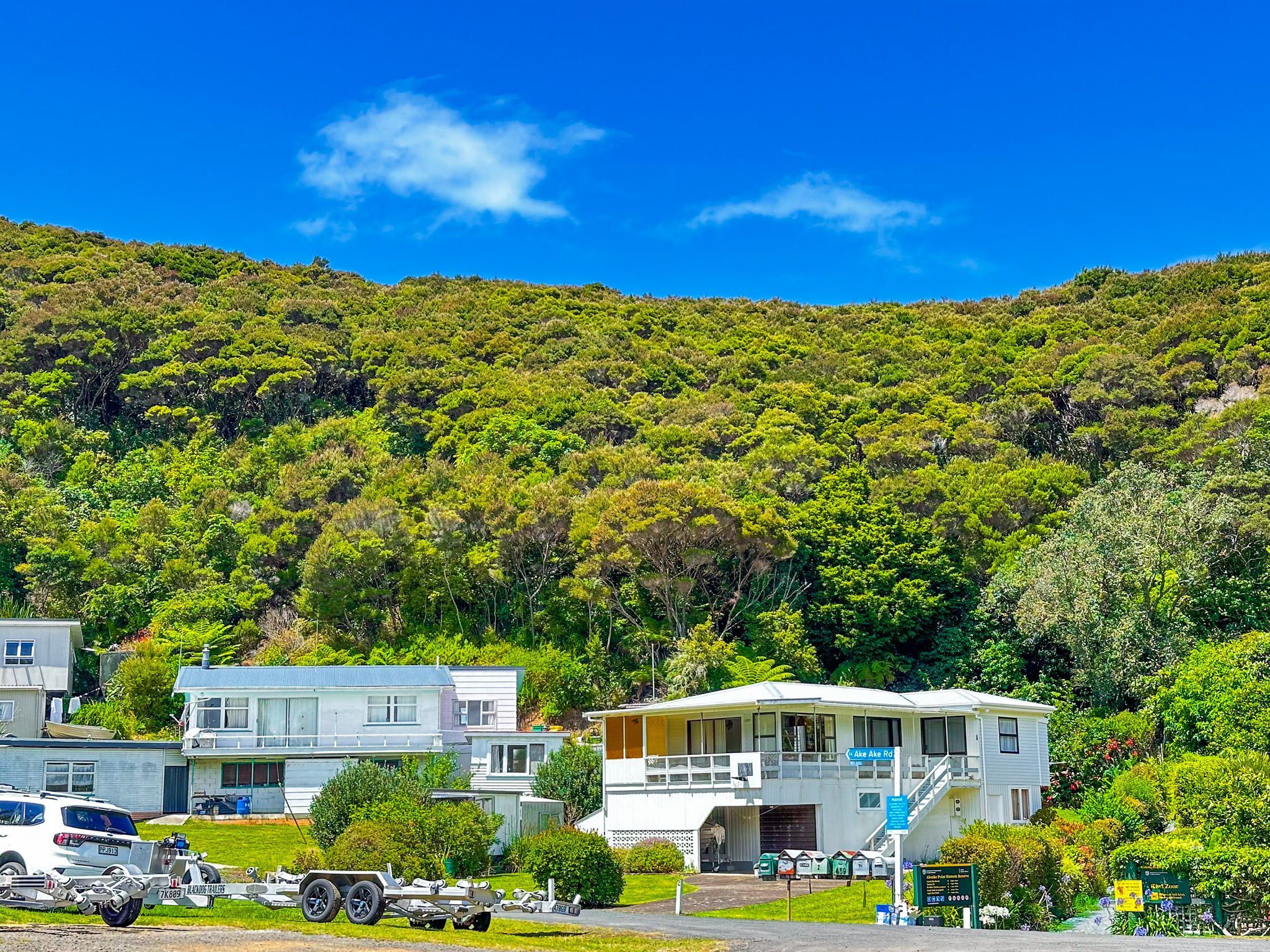
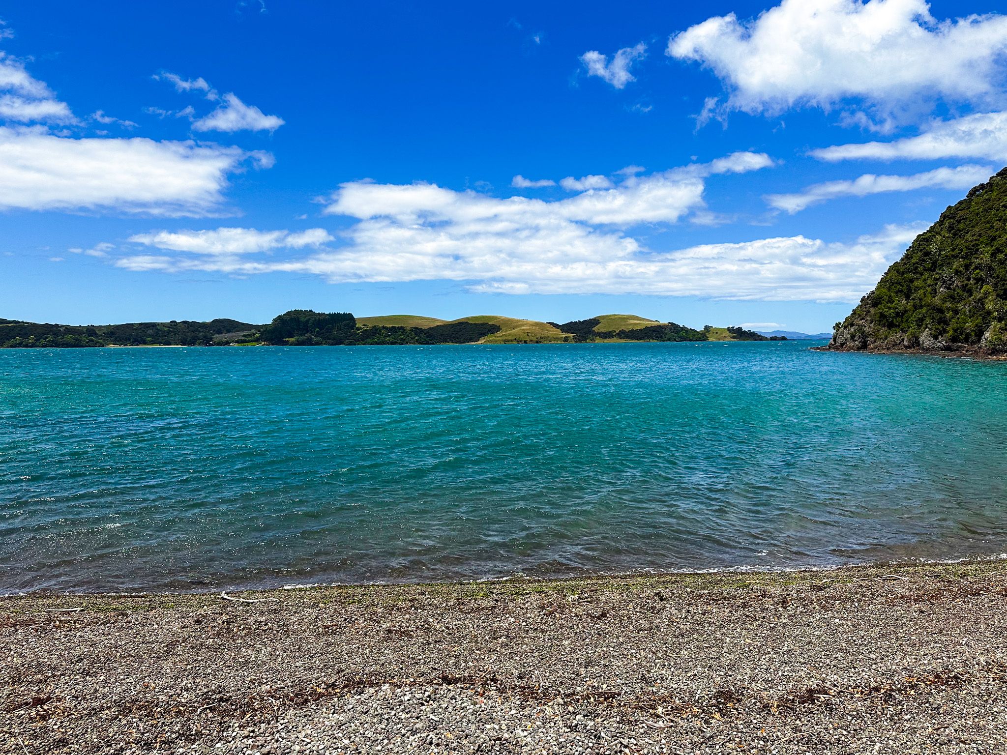
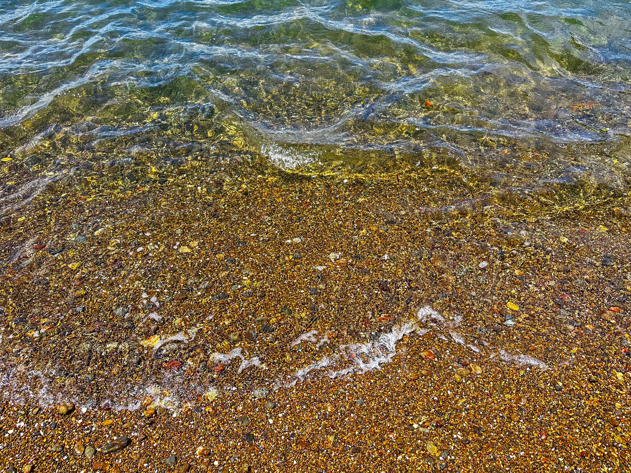
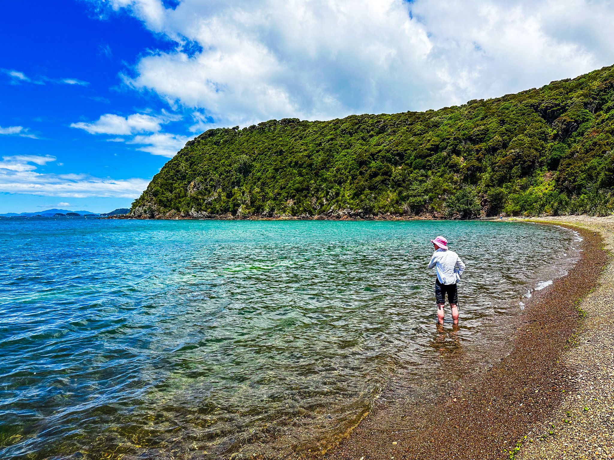
Opito Bay is a small bay in Northland with the closest beach to Kerikeri. The sheltered sandy beach is about 250 metres long and shrouded by pohutukawa trees. Behind the access road, there are holiday homes, with forest-clad hills as a backdrop. The bay is popular as it provides easy boat access to the inlet and safe swimming. There are public toilets but no other facilities or shops.
The bay is located on the north side of Kerikeri Inlet, almost at the end of the unnamed peninsula that separates Kerikeri Inlet from Te Puna Inlet. It is a 15.6 km drive from downtown Kerikeri, which takes about 20 minutes. The road is sealed with parking next to the beach. From the north side of Kerikeri, follow Landing Road north to Kapiro Road, then again on Redcliffs Road to Rangitane Road and Opito Bay Road.
You can also access the Akeake Historic Reserve from the east end of the beach. This loop track provides fabulous views with access to Lizard Bay and the historic pā site at Tareha Point.
Akeake Point Historic Reserve
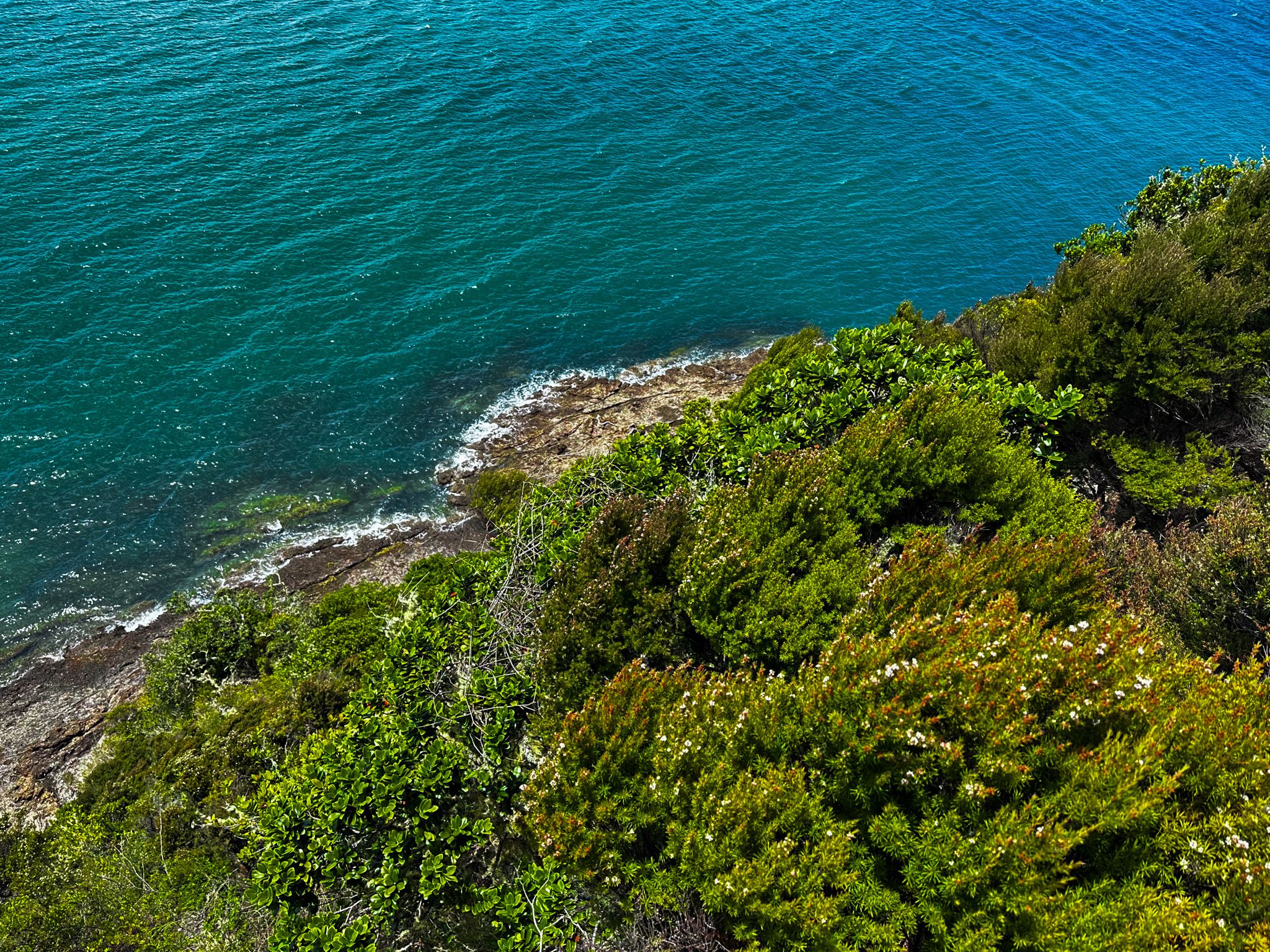
Akeake Point Historic Reserve covers the high ridgeline between Opito Bay and Point Tareha. When the first missionaries arrived in Kerikeri around 1820, it was occupied by Ngati Rehia iwi, led by the rangatira, Tareha. There was a pā at Pukewahau to the northwest and one at Tareha Point on the peninsula's tip overlooking the junction of Kerikeri Inlet and Te Puna Inlet. Today, the area is covered in regenerating native forest and is a haven for Brown Kiwi.
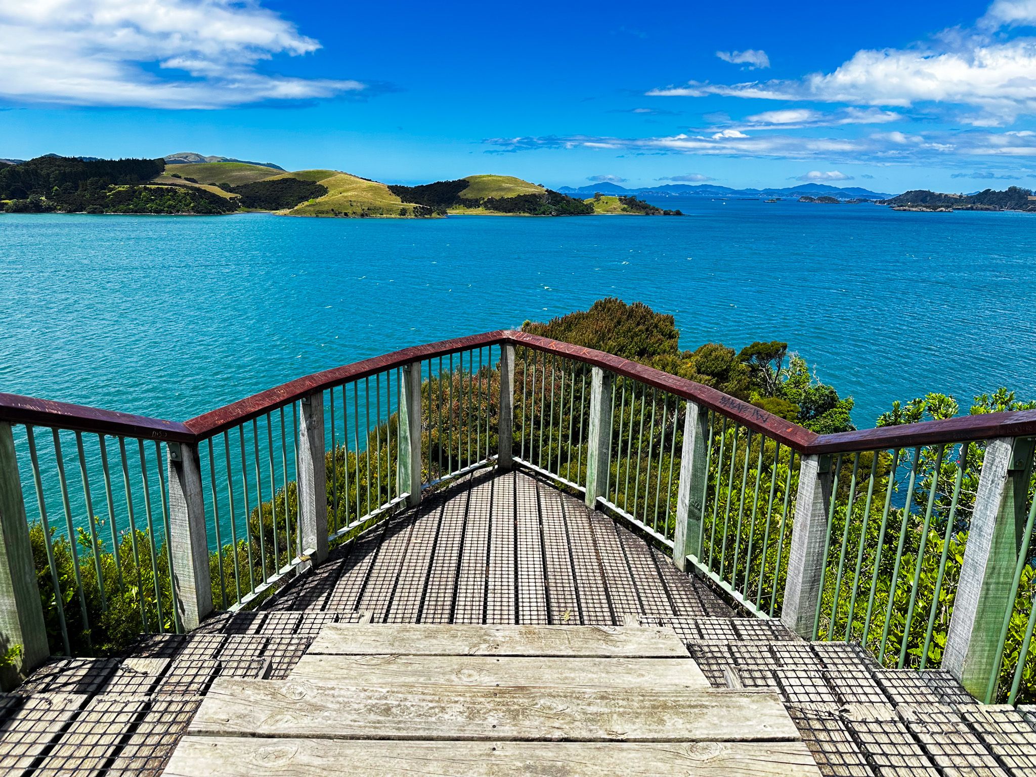
The reserve has several connected short tracks. They provide access to Lizard Bay on Te Puna Inlet, the historic pā site, and a viewing platform at Tareha Point. The tracks can be done as a loop with several side trips. Allow about an hour for the whole combination and time to take in the views.
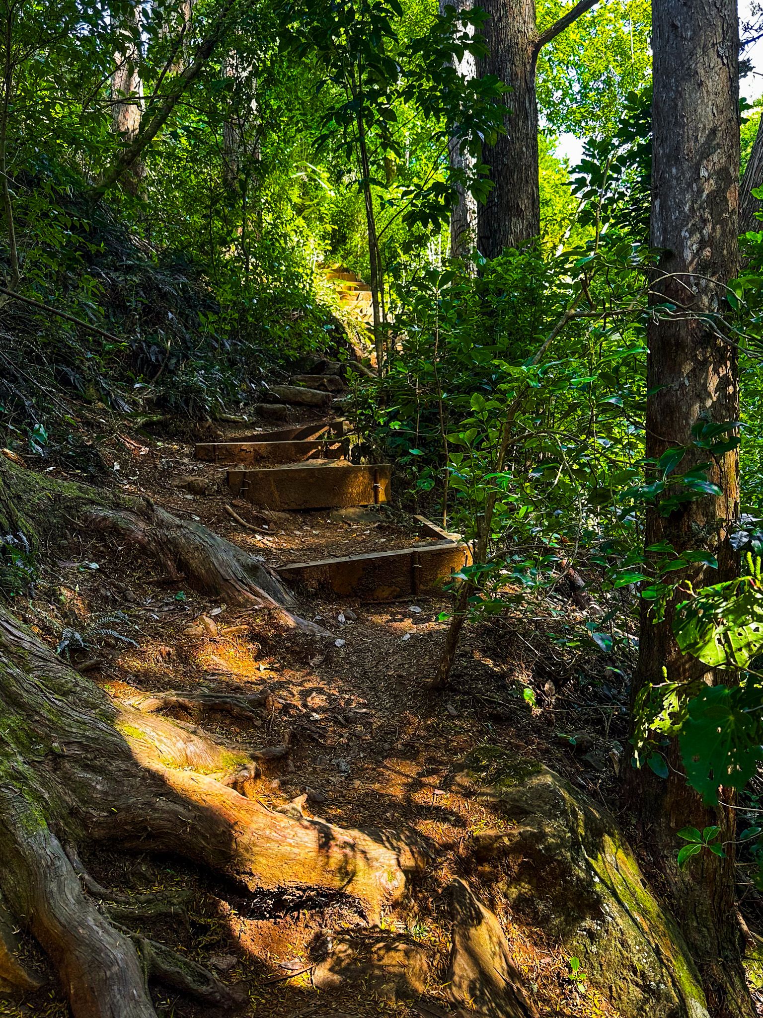
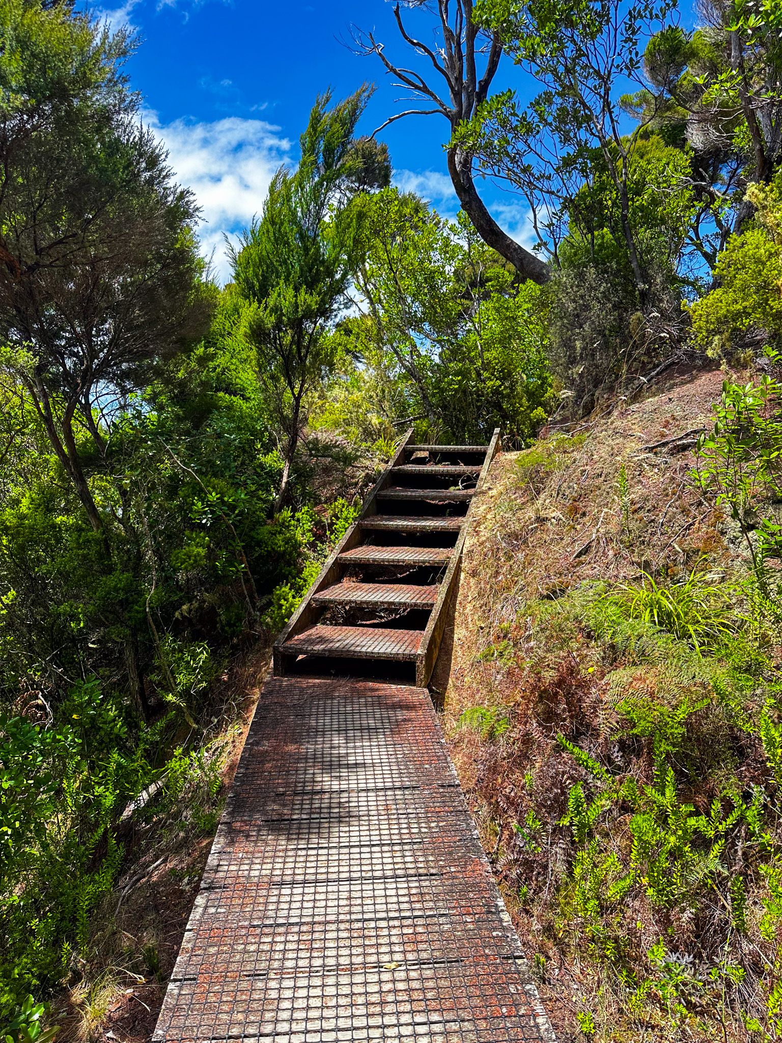
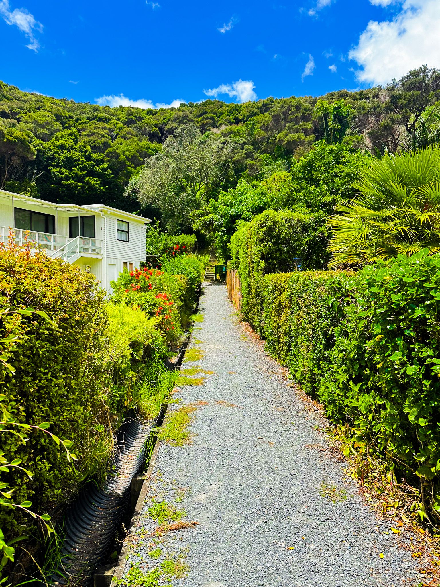
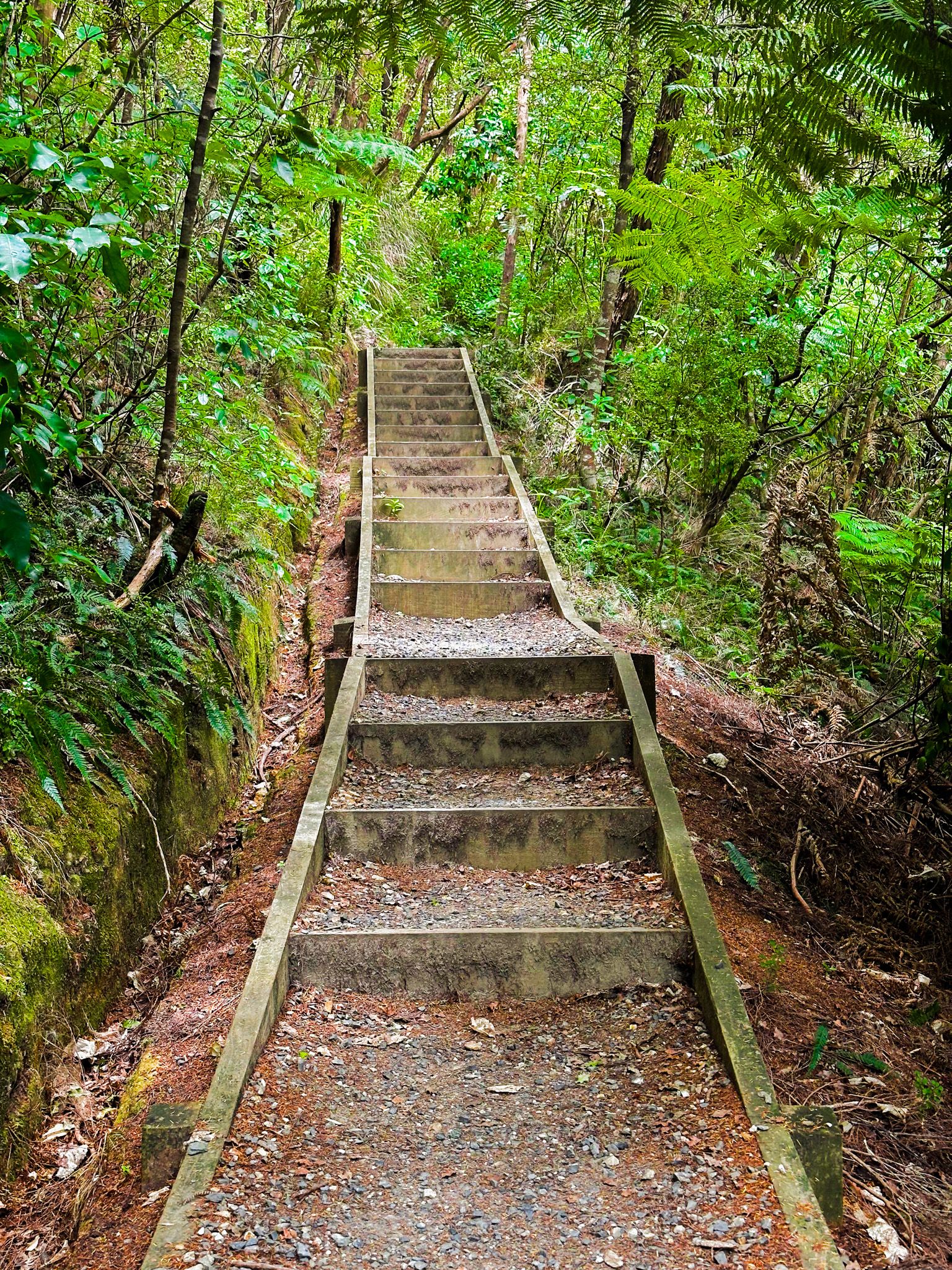
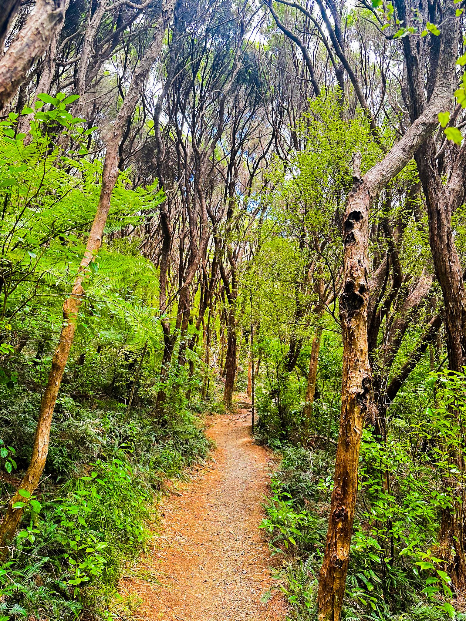
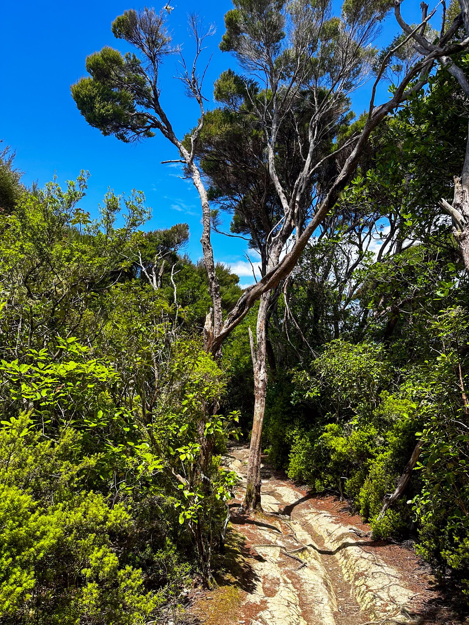
From the east end of Opito Bay, you will see a sign marking a right of way between a couple of houses. It is a short 50-metre stepped climb to the ridgeline. From there, you can walk down to the beach at Lizard Bay or along the ridge towards Tareha pā and Point. The track along the ridge is mostly through attractive maturing kanuka and manuka, the first growth of recovering native forest.
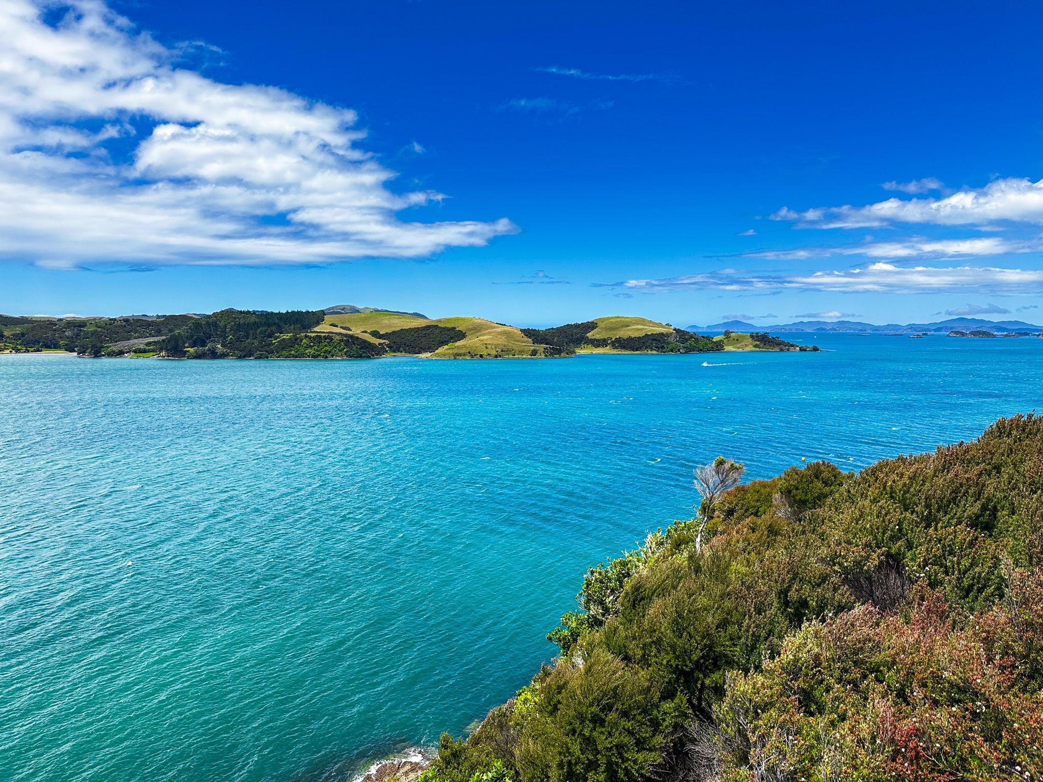
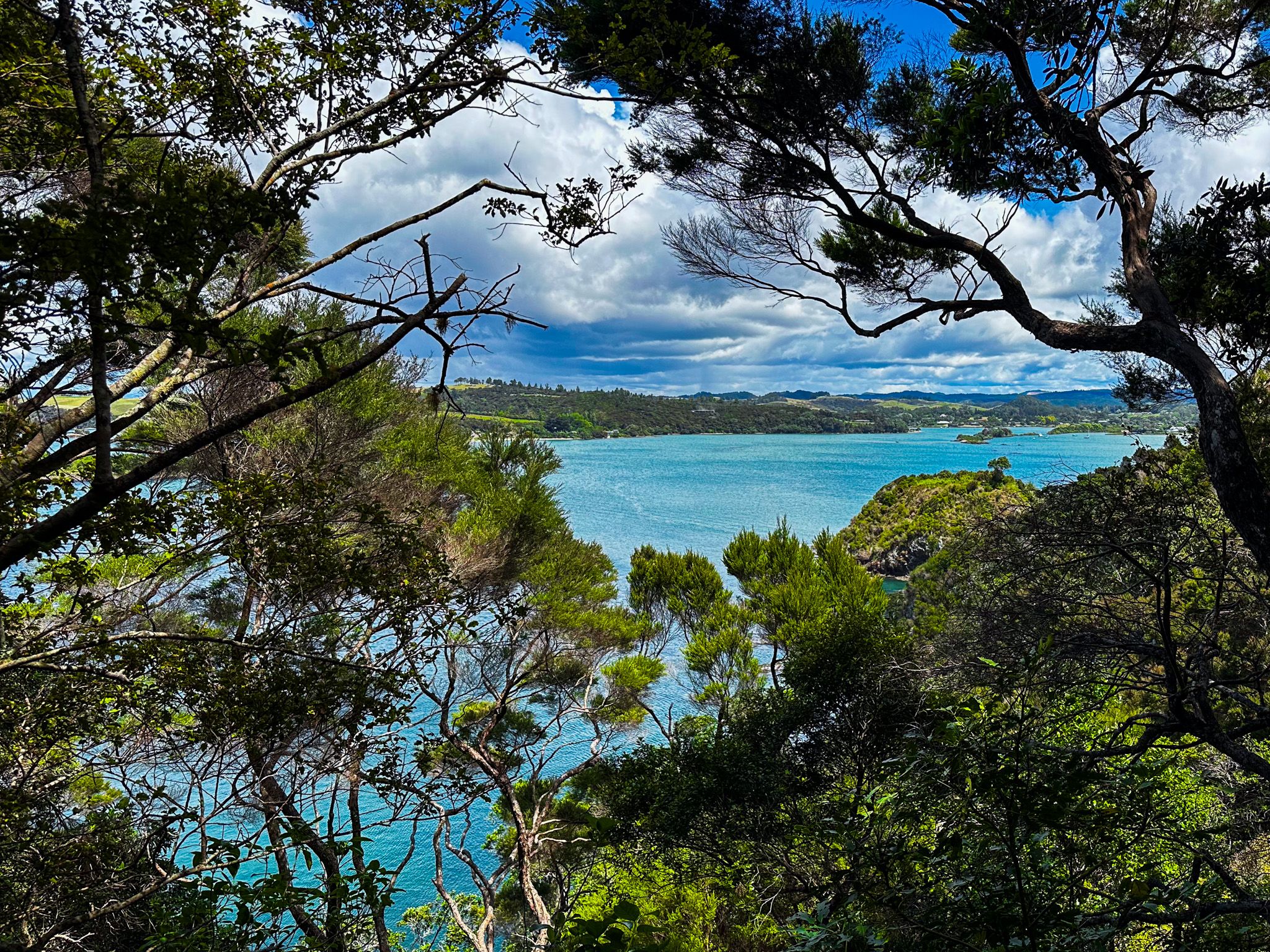
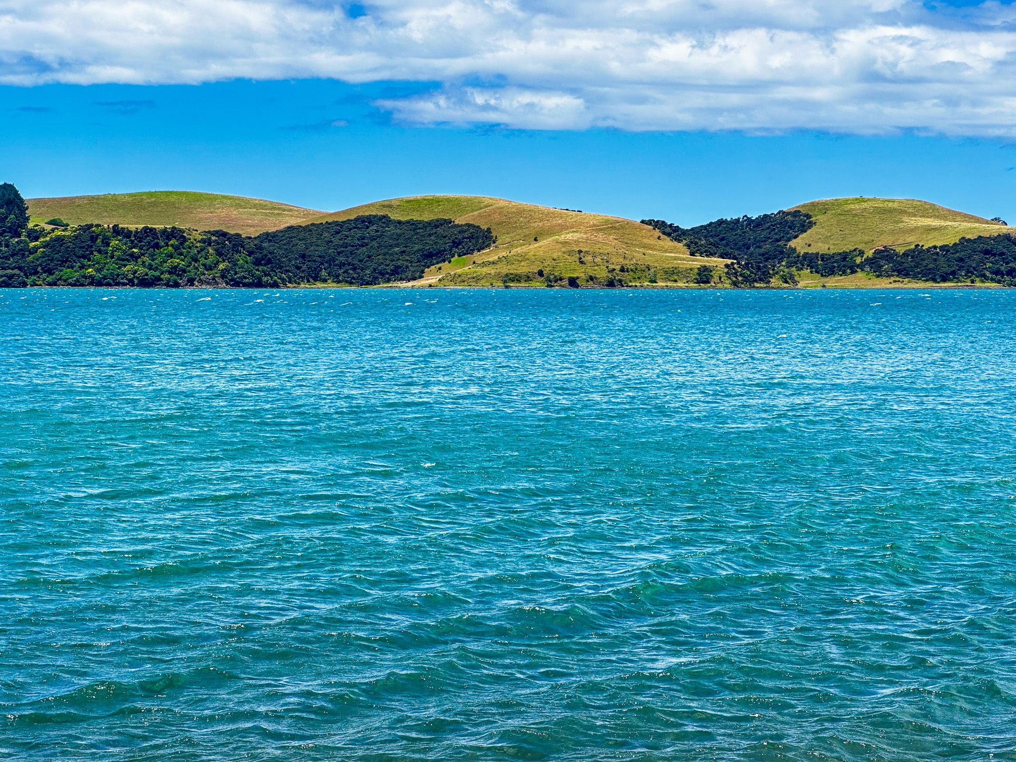
After a short distance, there is a fork in the track and head left to the pā and point. As you approach the point, much of the pā has been obscured by forest regrowth, but there is an obvious defensive ditch with a short bridge. Tareha Point is about 70 metres above Te Puna Inlet. It connects with Kerikeri Inlet to the north-northwest, the Bay of Islands to the east, and Kerikeri Peninsula to the south. The Purerua Peninsula is particularly prominent on the north side of Te Puna Inlet.
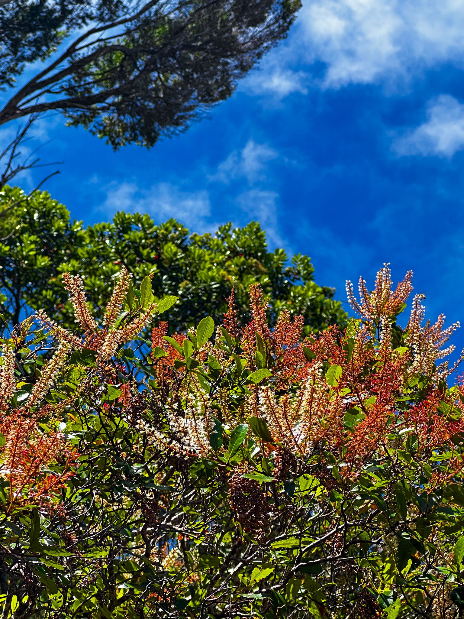
Return along the track to the fork, then continue to the left, high above Kerikeri Inlet. This section is narrow in places with steep drops, so take extra. In early summer, flowering kamahi are a feature in this section, and there are more superb views of the inlet along the track before it meets the end of Opito Bay Road. From there, it is a couple of minutes down to the beach.
Akeake Point Historic Reserve to Lizard Bay
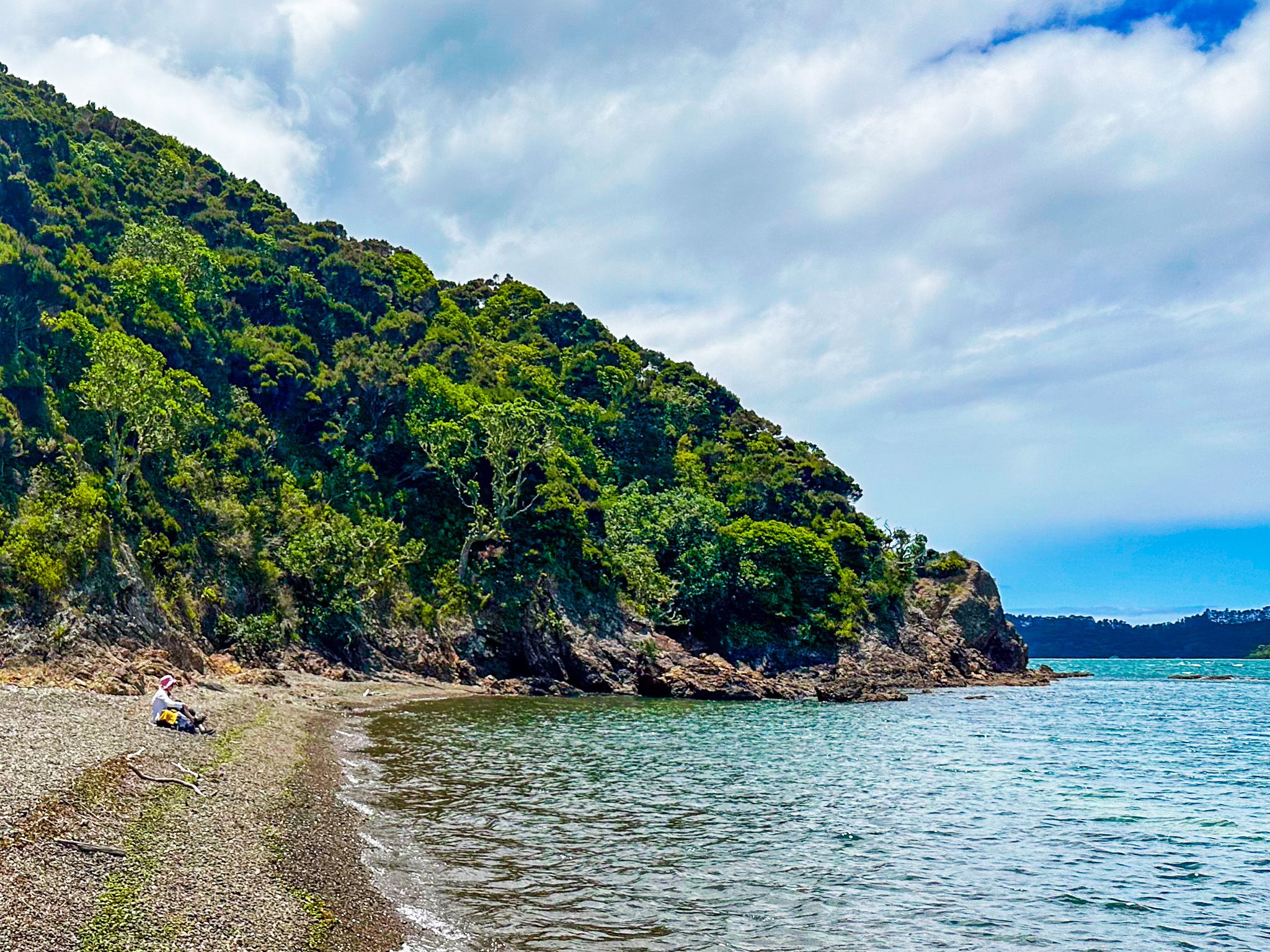
Lizard Bay (also known as Lizzie) is accessed from the Akeake Point Historic Reserve Track. From the ridge, follow the sign down a short, steep track to the beach.
The bay has a pebbled short beach on Te Puna Inlet that looks northeast towards the southern tip of Purerua Peninsula. It is generally relatively sheltered from the wind, with the forest and shrubs to the beach's edge. It is safe for swimming and an option to avoid the relatively busy beach at Opito Bay.
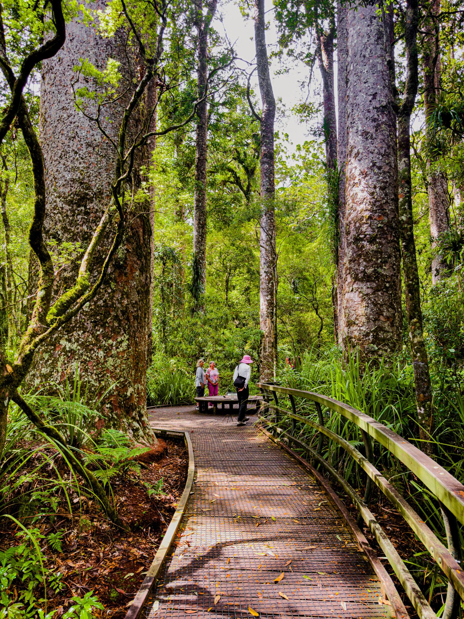
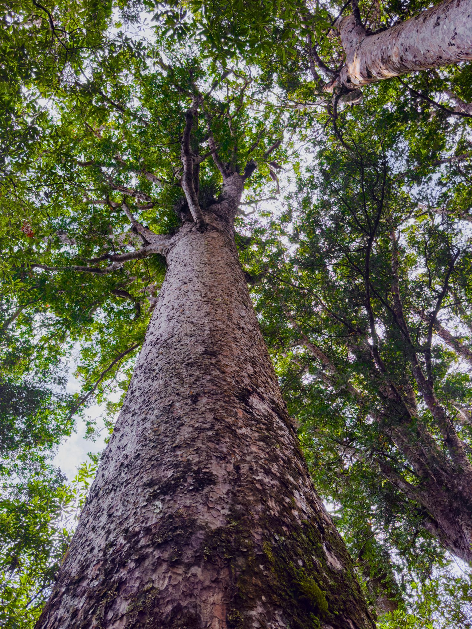
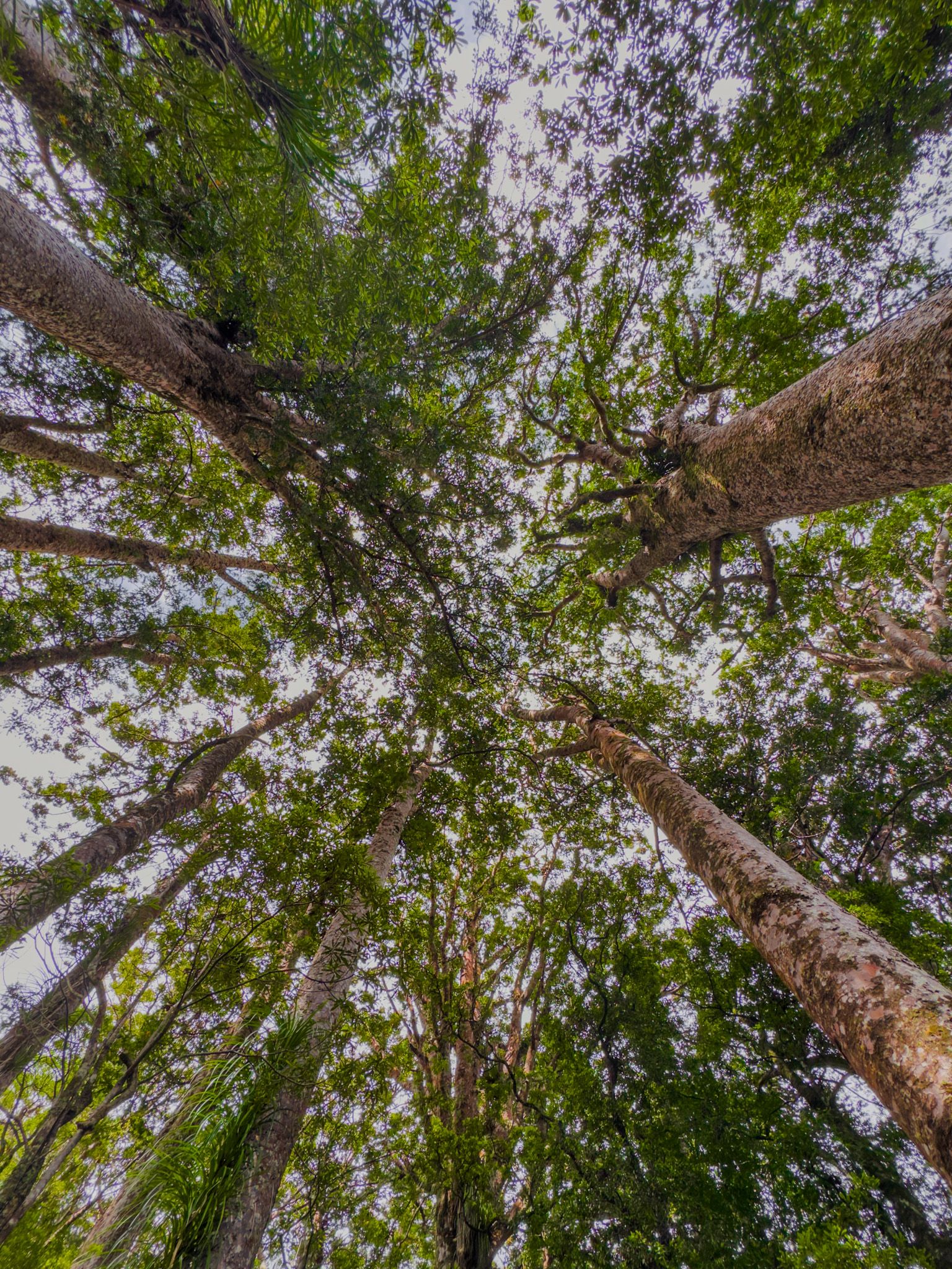
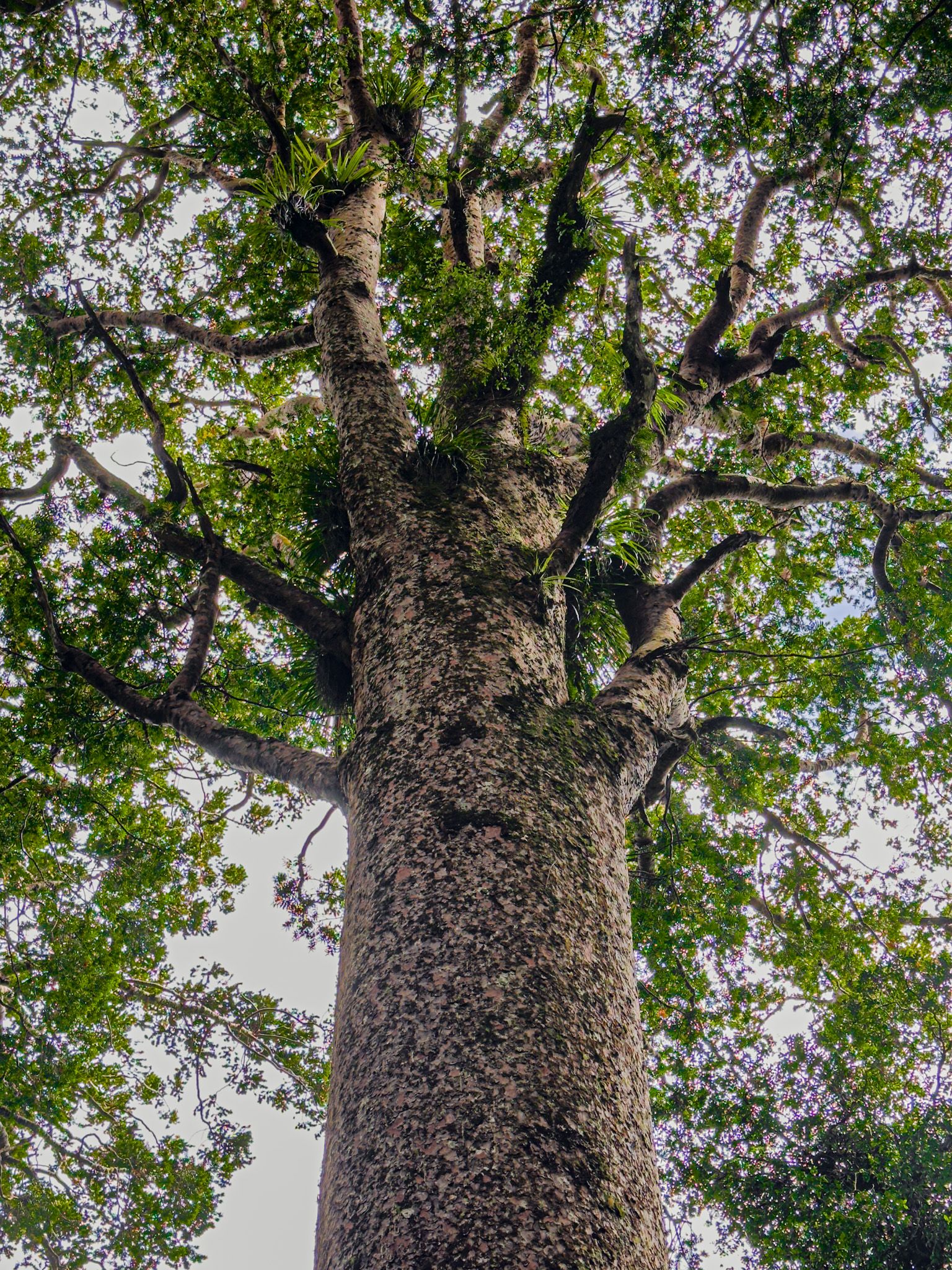
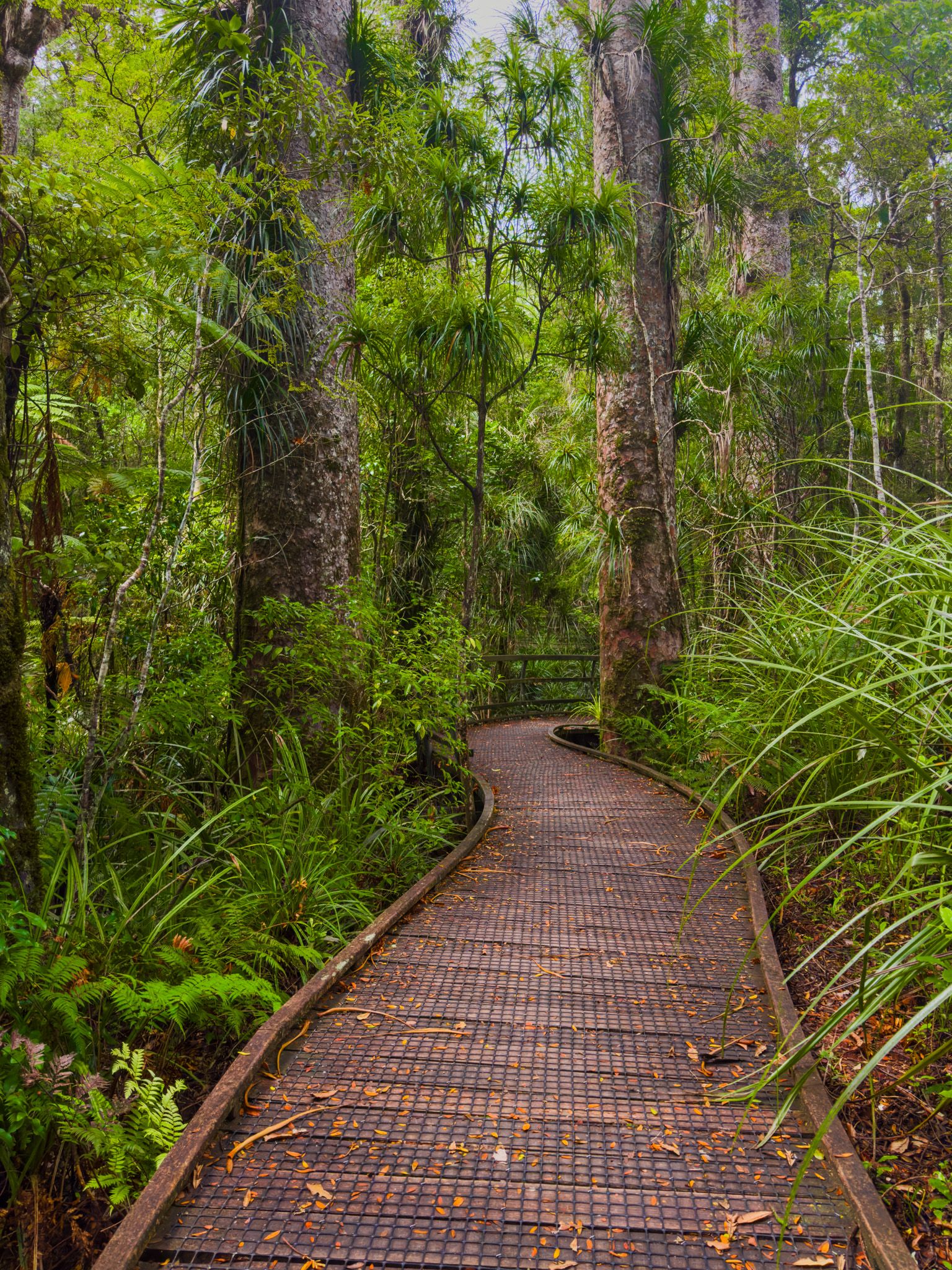
Manginangina Kauri Walk
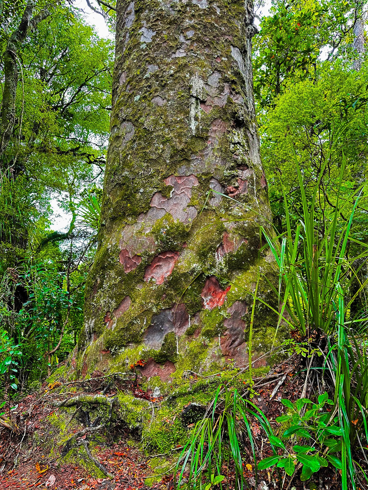
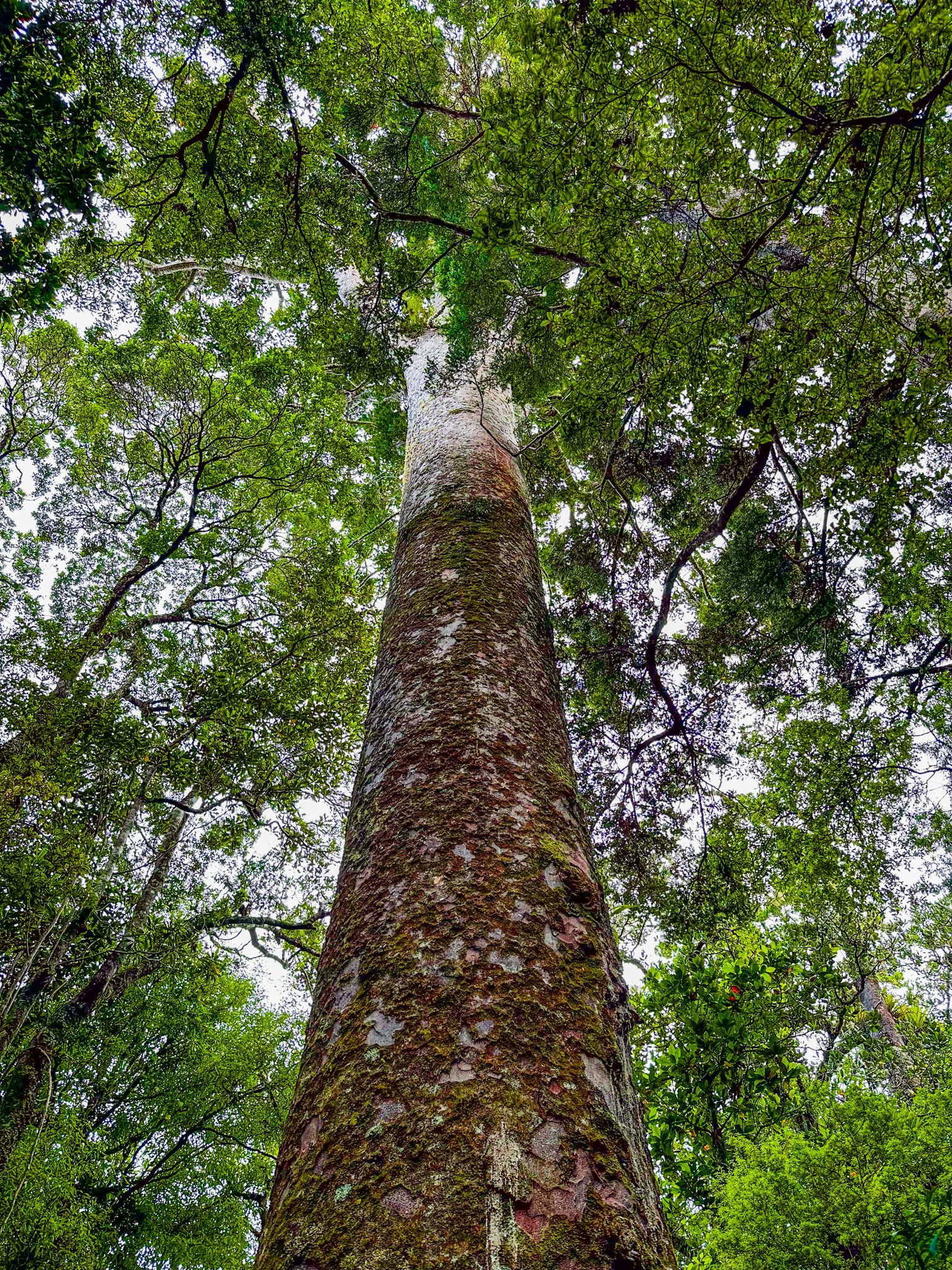
Ancient kauri forests once dominated the ecology of Northland. The arrival of Europeans decimated these, but there were several locations where ancient trees were protected. Sadly, kauri dieback disease has closed most trails and access points to ancient giants, and there are only two options north of Waipoua Forest. These are the Manginangina Kauri Walk and Puketi Forest Nature Trail.
Manginangina is a short, easy boardwalk through a stunning grove of ancient kauri trees and a short section of swamp forest on the east side of Puketi Forest. It is a 20-km drive from Kerikeri town centre and takes about 23 minutes. From the Heritage Bypass, go left on Waipapa Road to State Highway 10. Follow the highway north through Waipapa, then turn left onto Pungaere Road. The last section of this road is metalled.
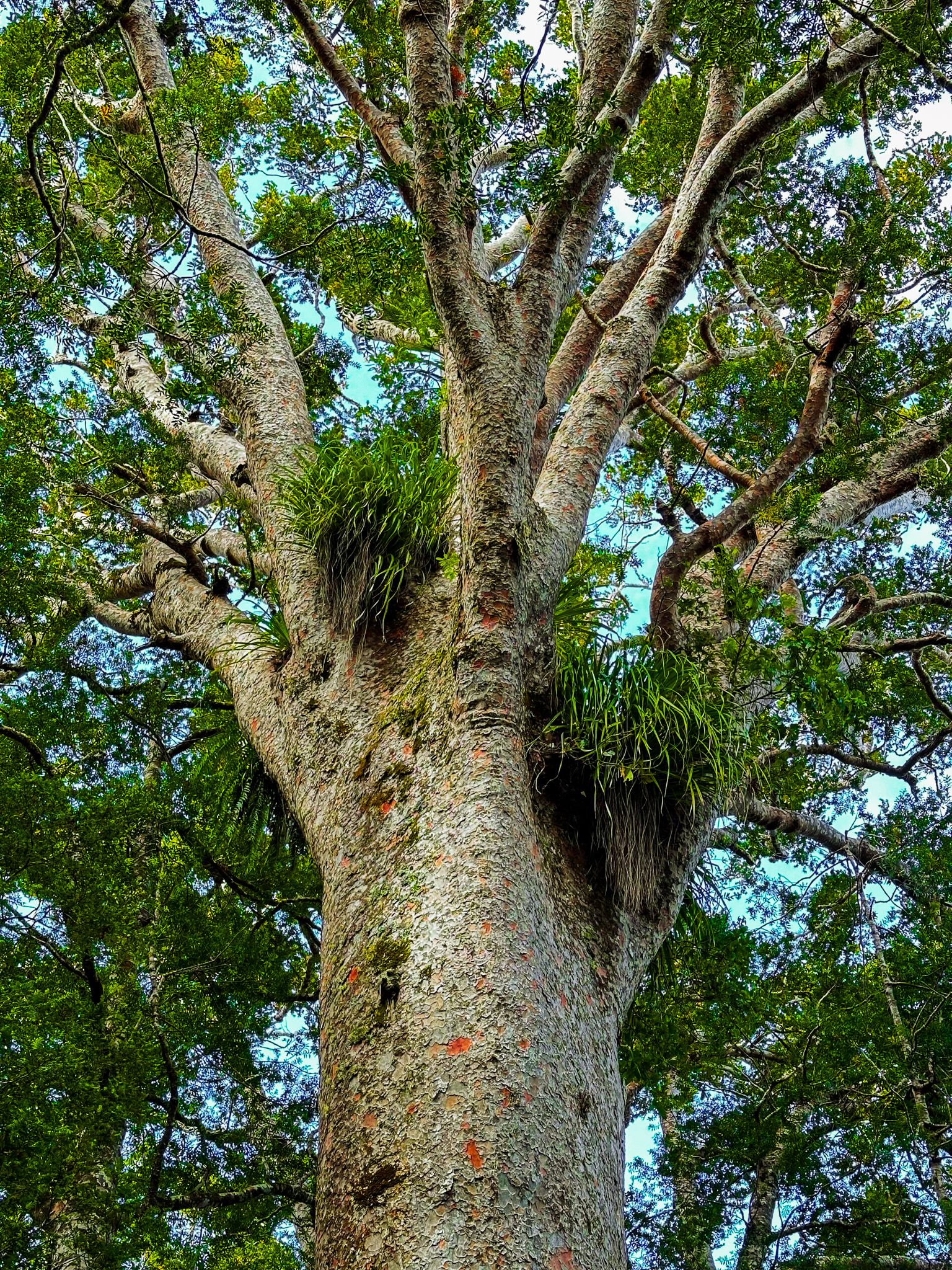
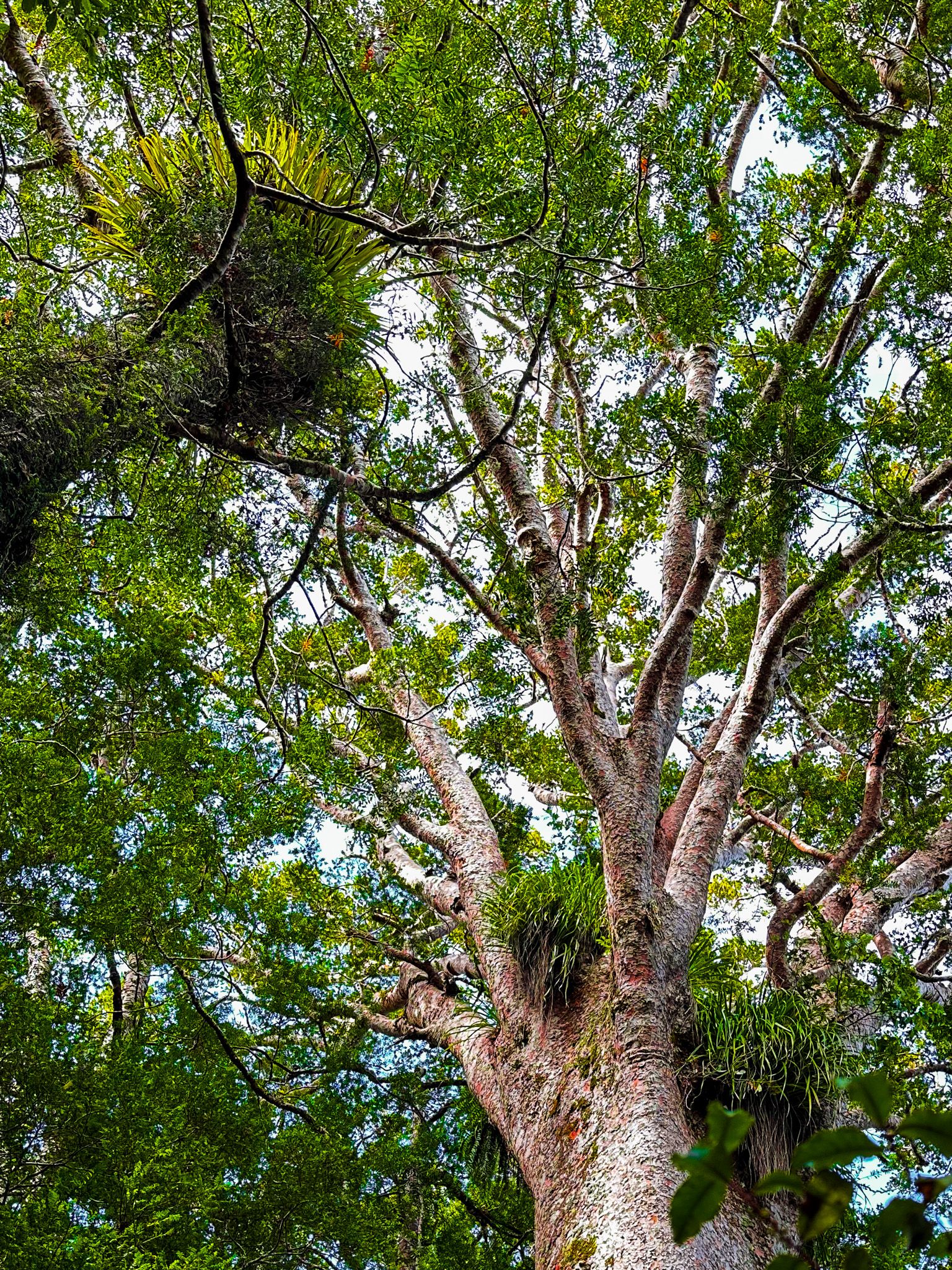
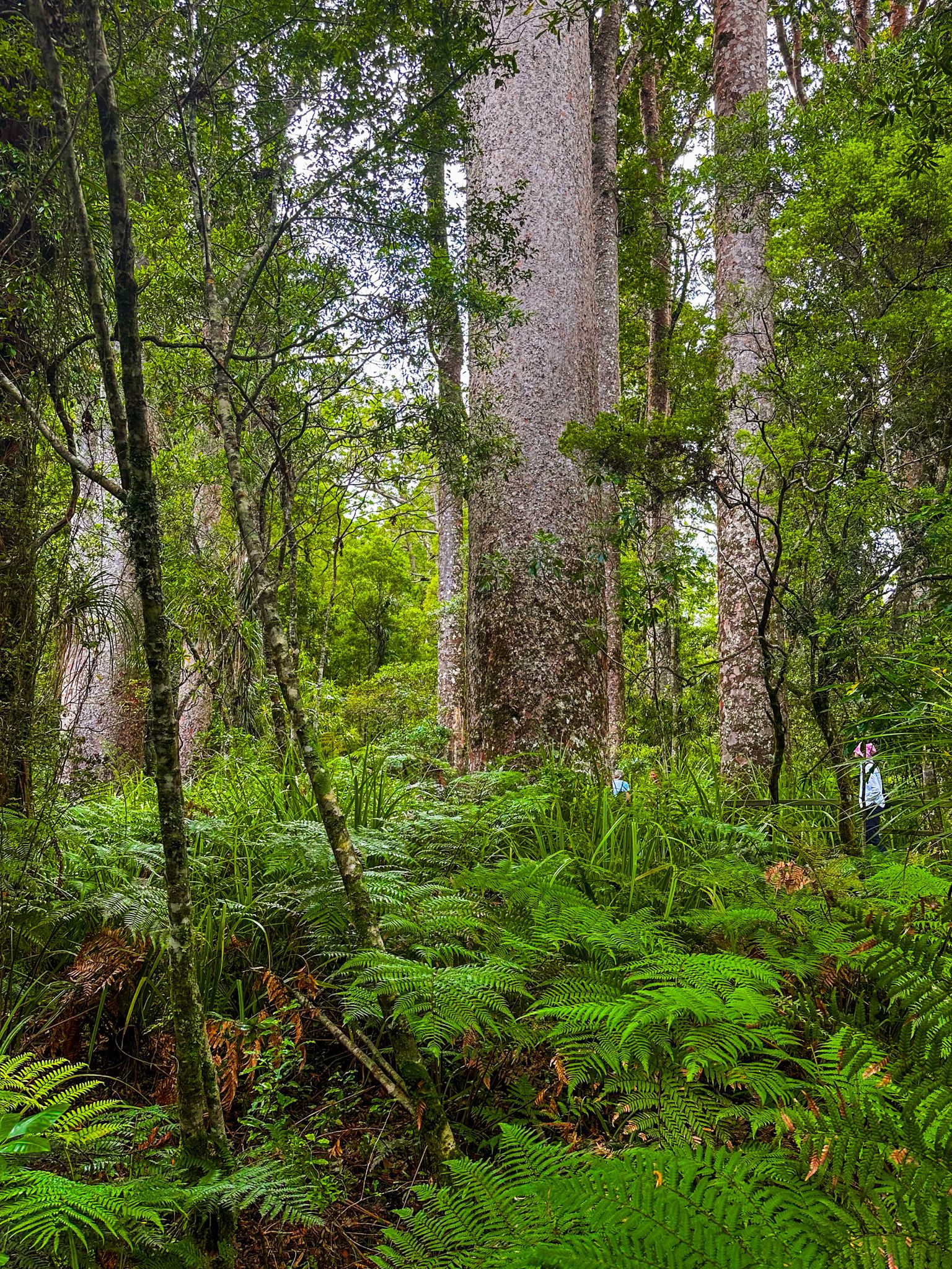
From the car park, it is a 300-metre loop track with a central viewing point right in the middle of a grove of enormous 1,000-year-old trees (give or take!). Panels provide additional information on the trees and forest ecology. Although the walk only takes a few minutes, allow plenty of time. Also, be mindful that this is a stop on the tour bus circuit, so it may be busy for short periods.
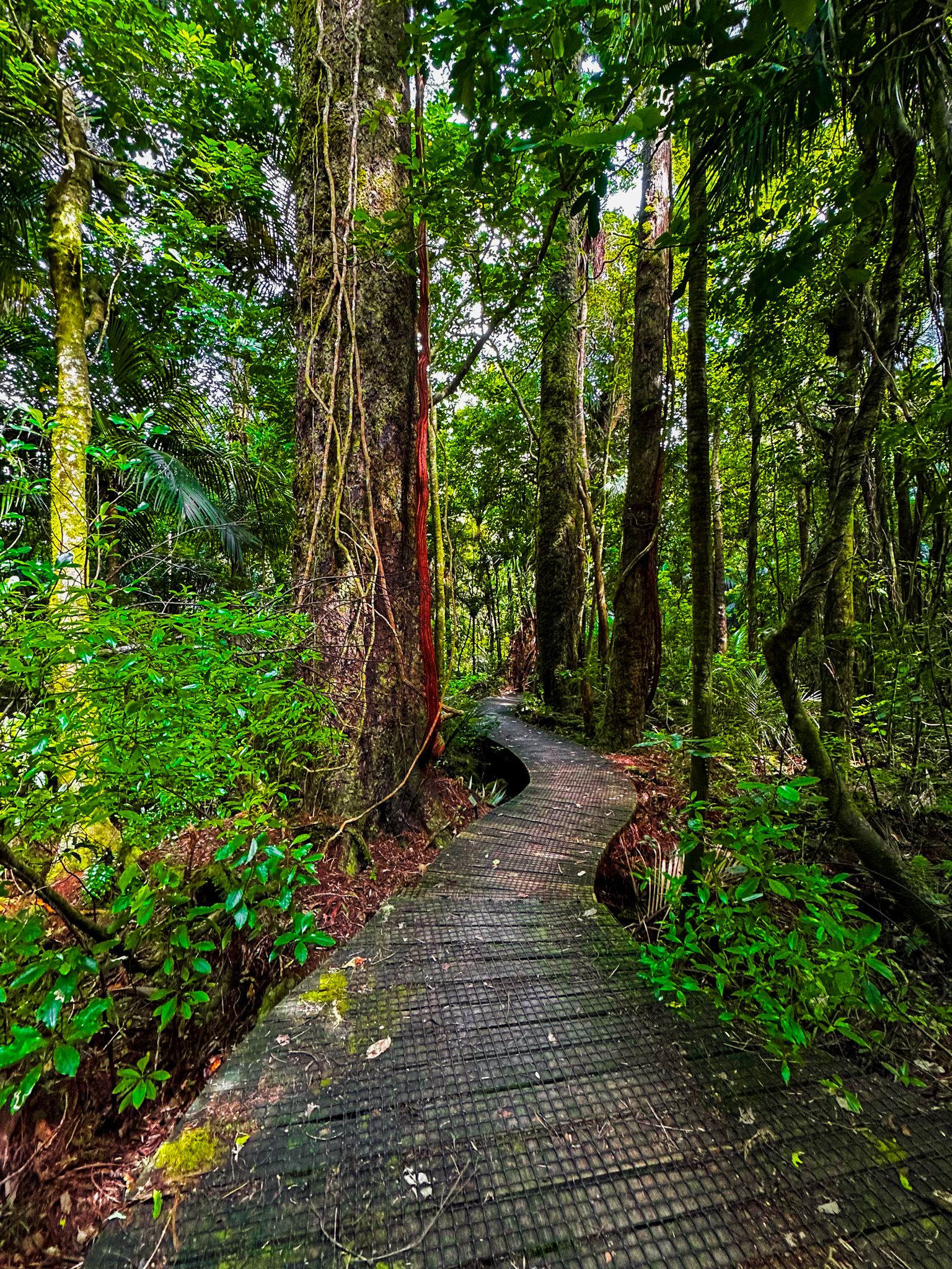
Puketi Forest Nature Trail and Campsite
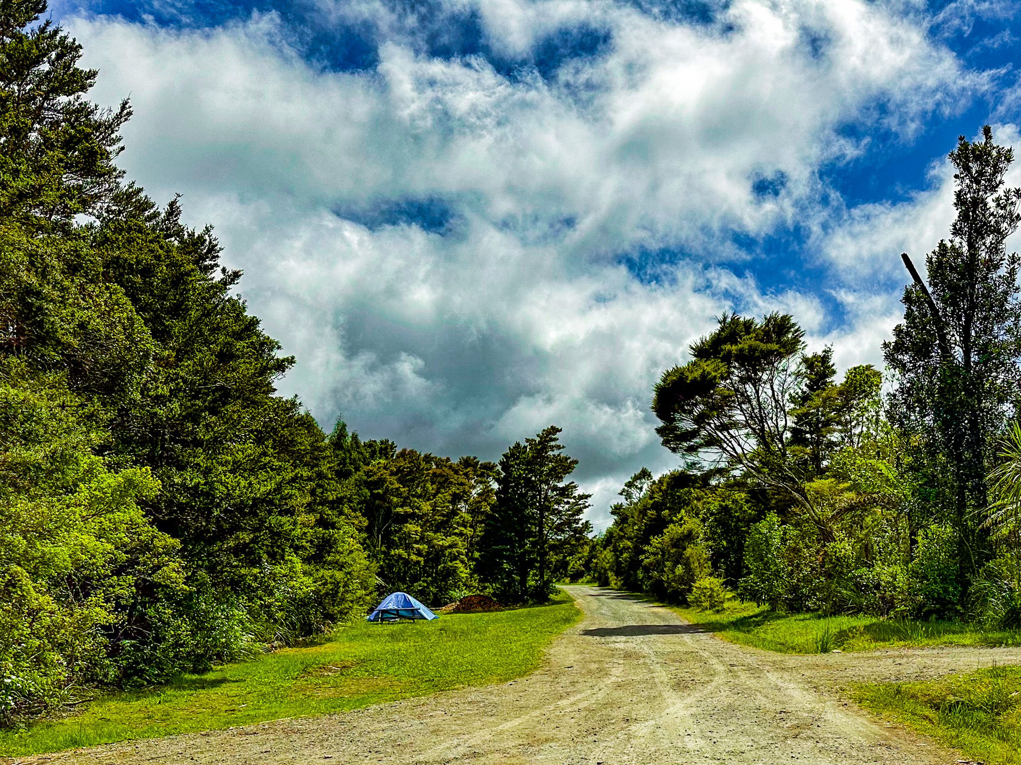
The Puketi Forest Nature Trail and DOC campsite are on the southeast side of Puketi Forest. The short access road is 1.2 km south of Manginangina Kauri Walk along unsealed Waiare Road, or about a 25-minute drive from Kerikeri.
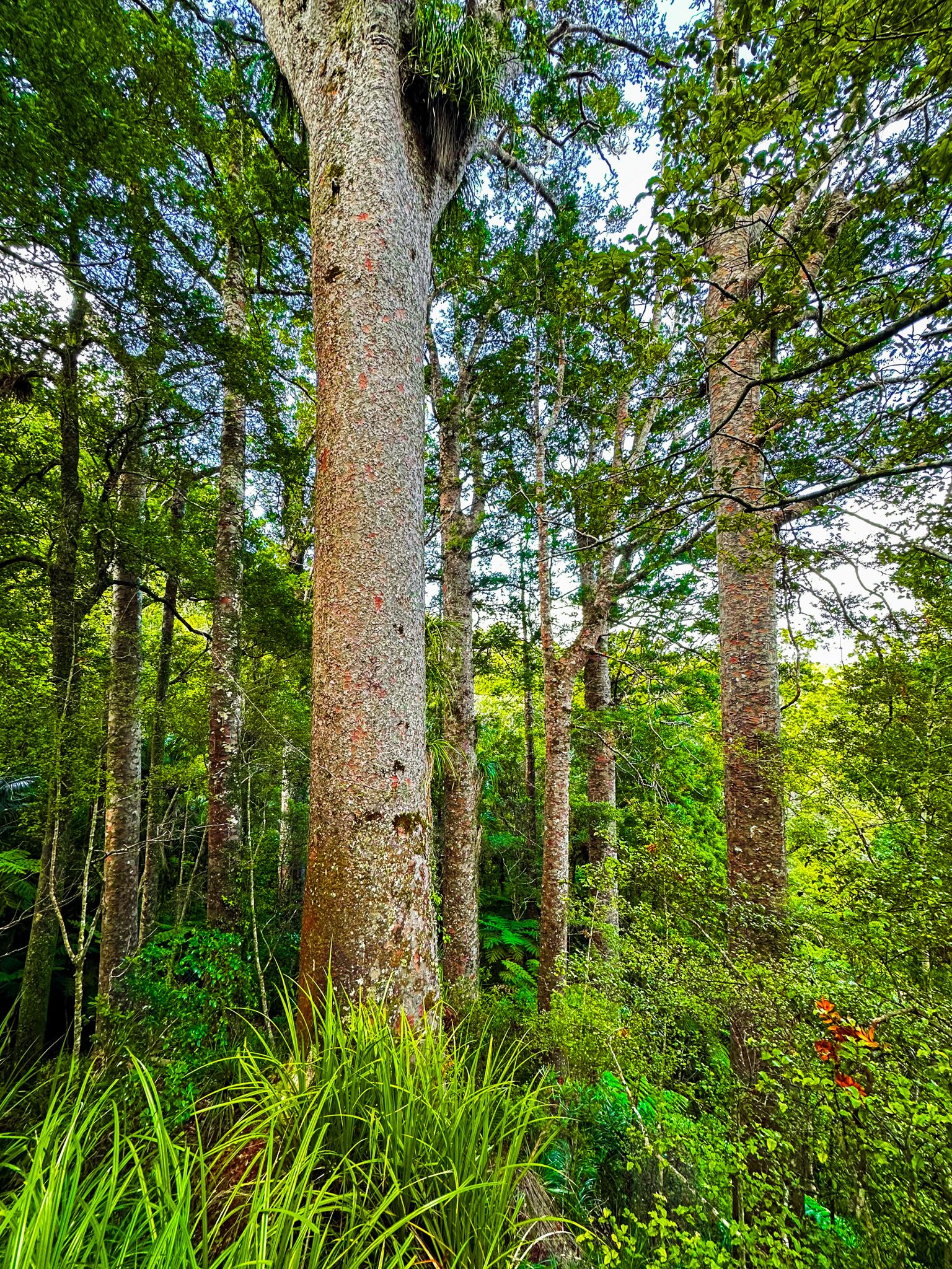
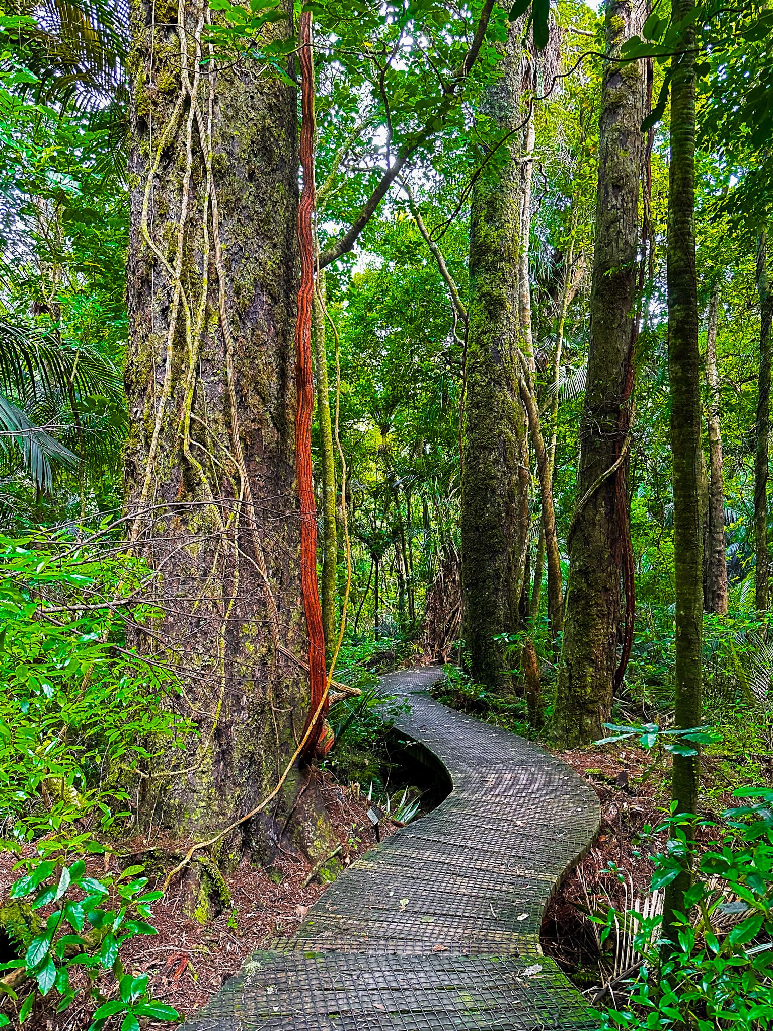
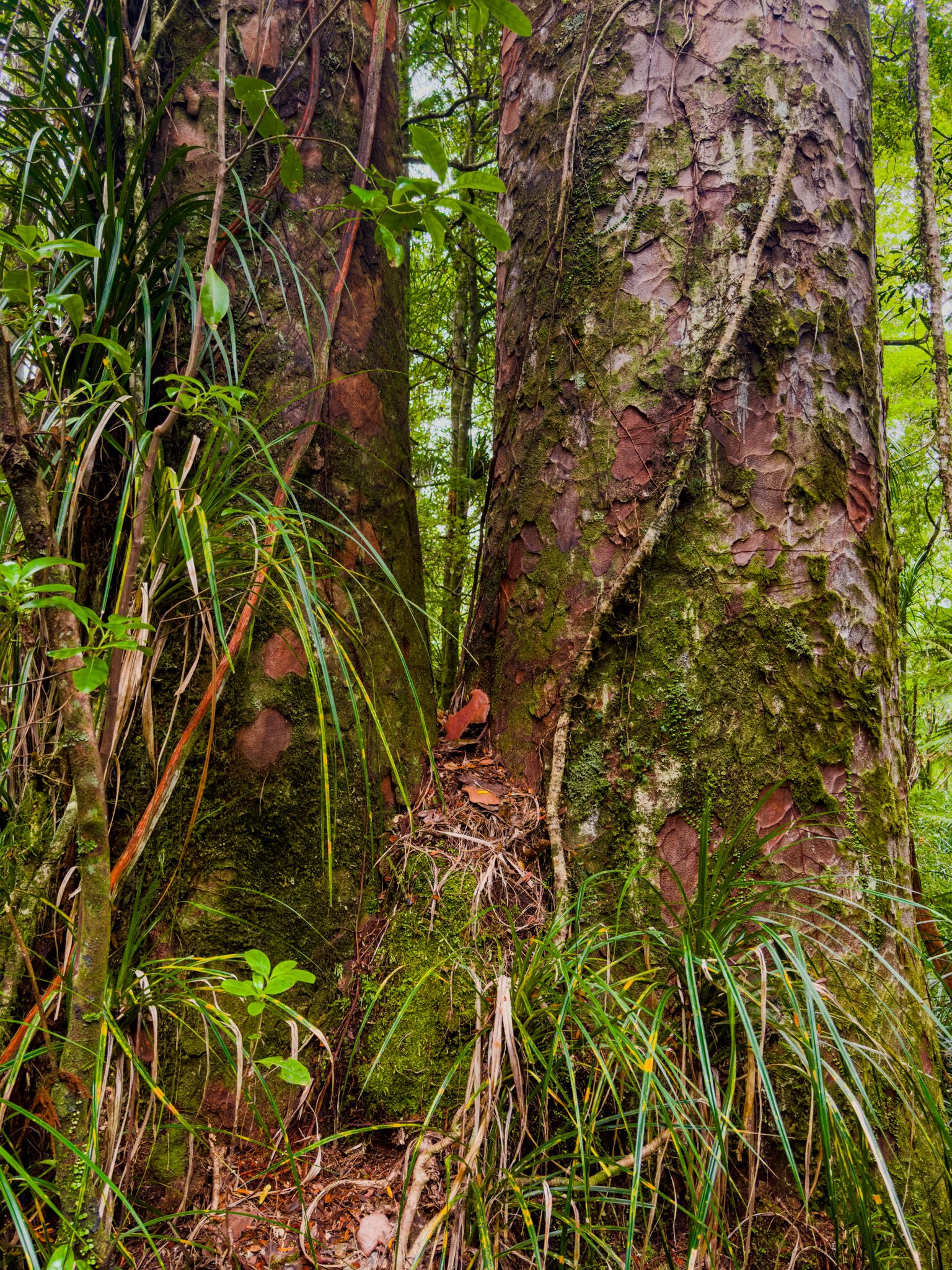
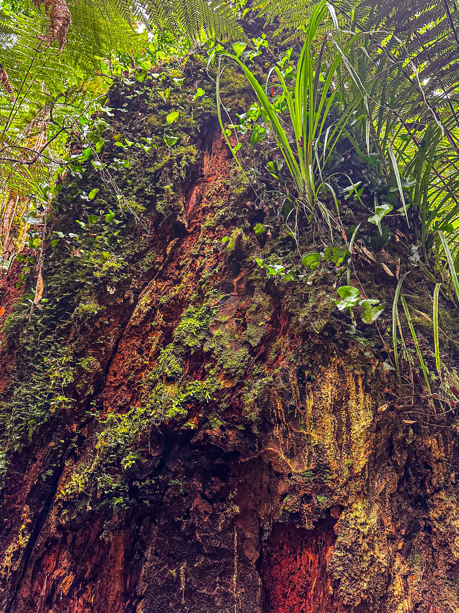
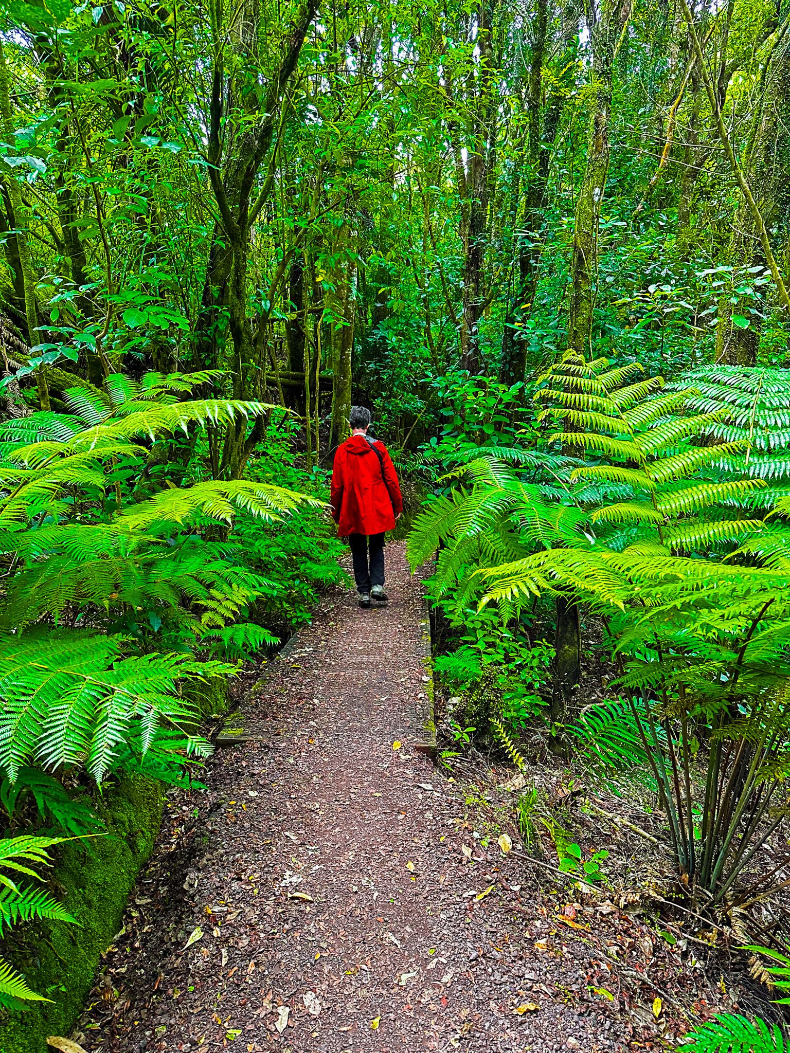
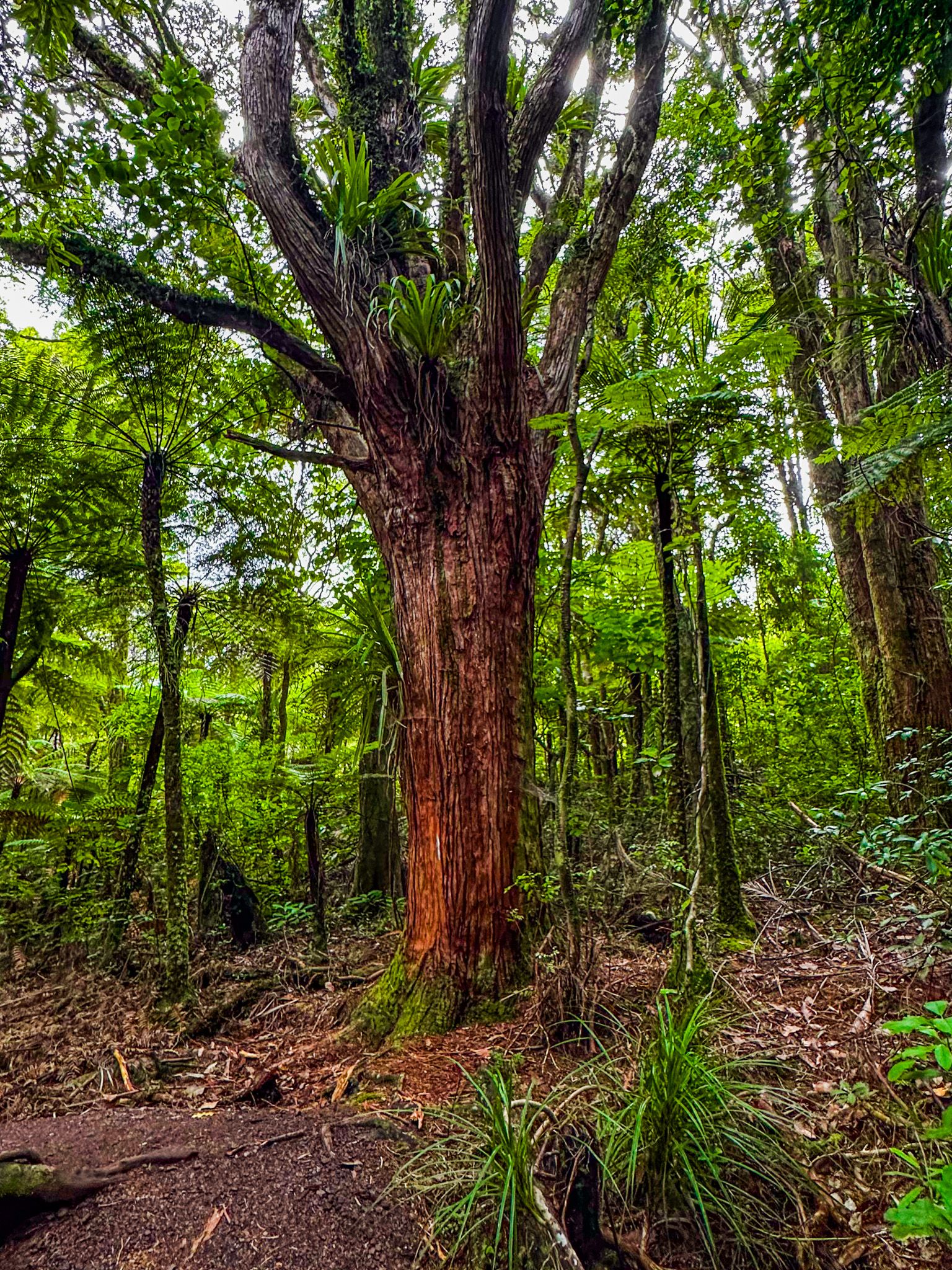
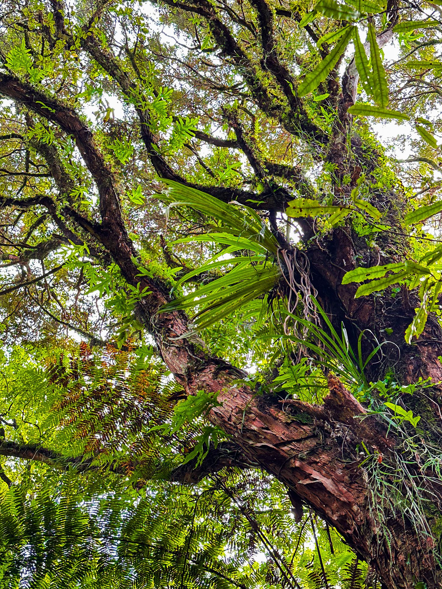
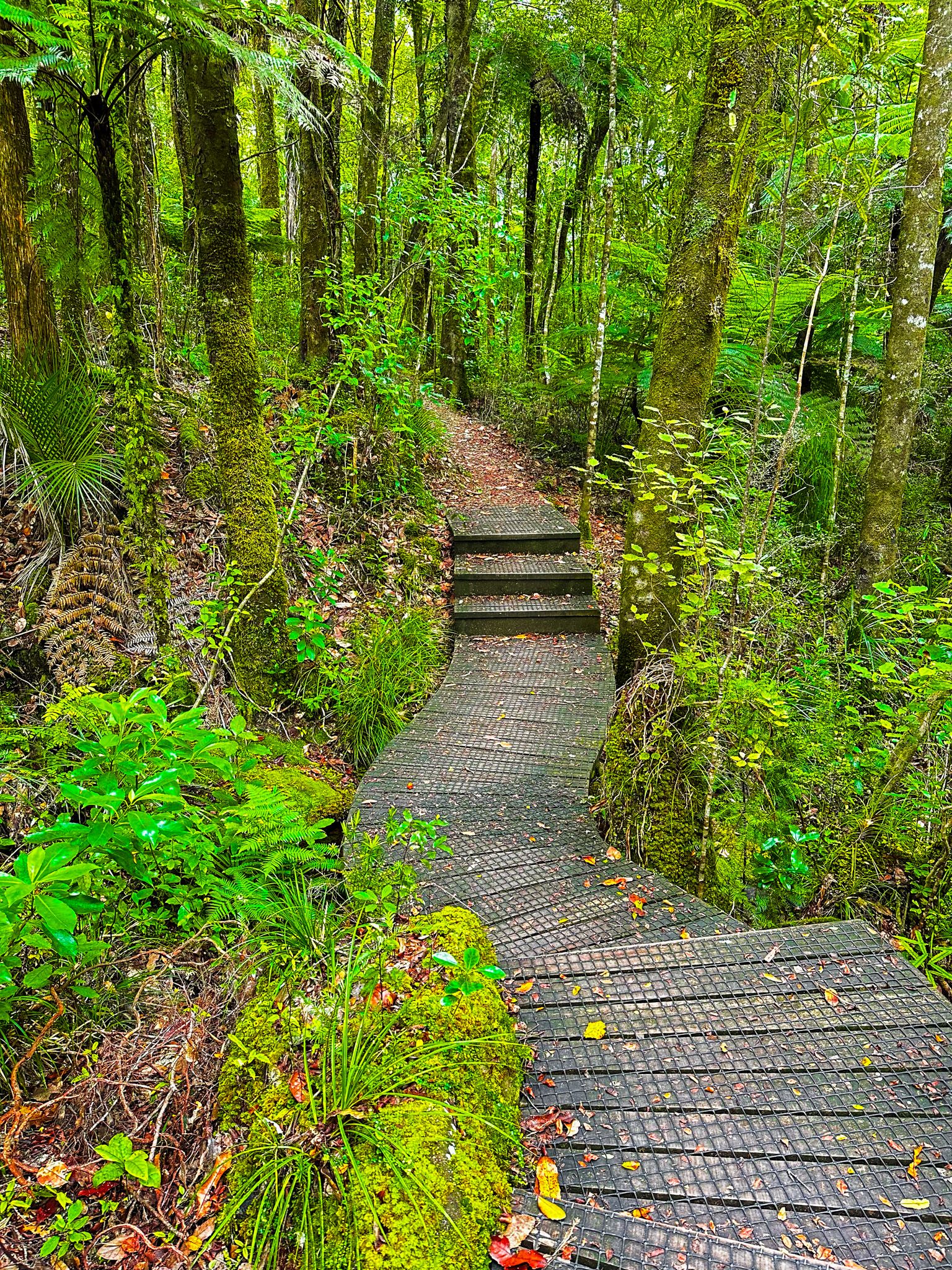
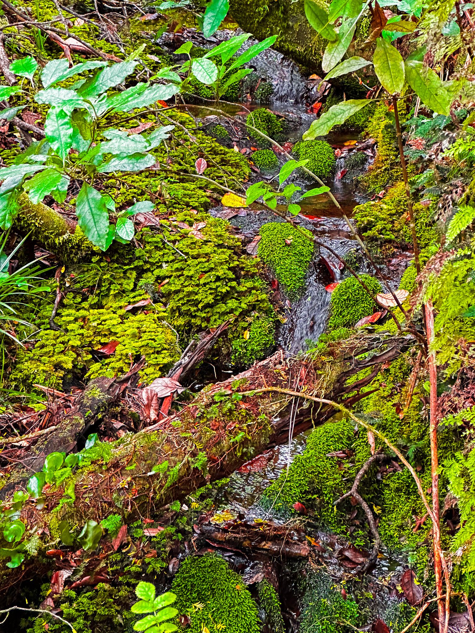
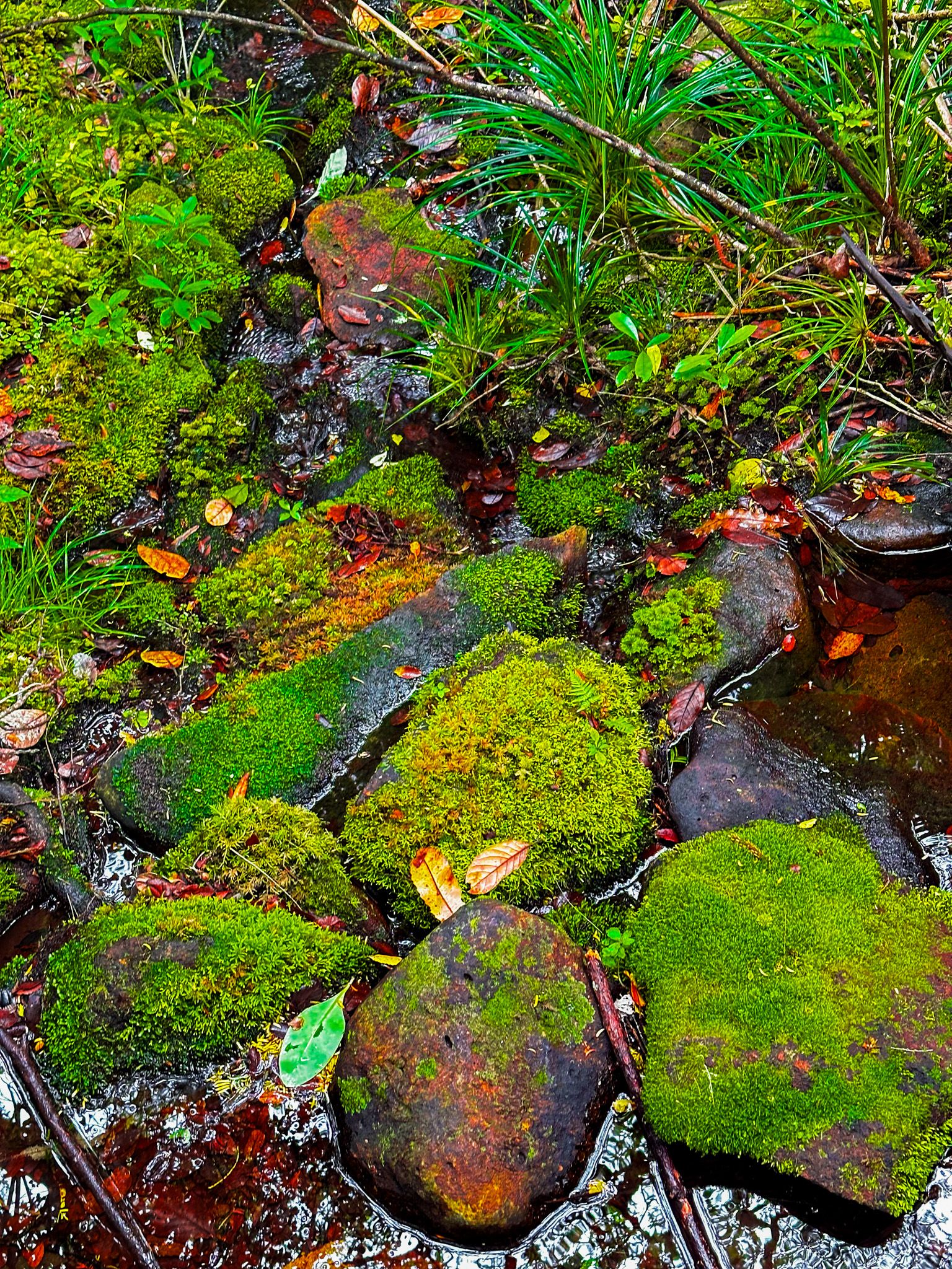
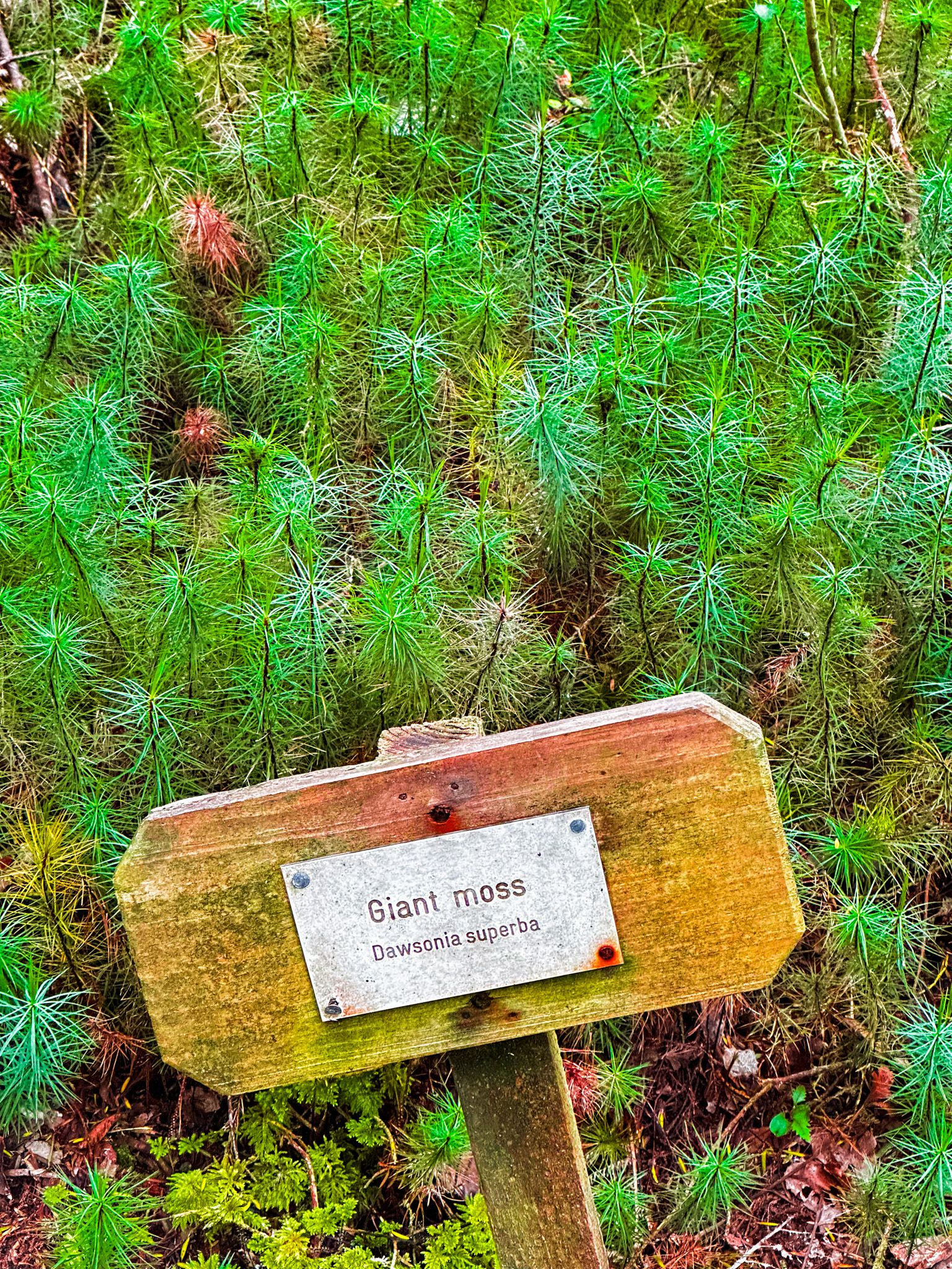
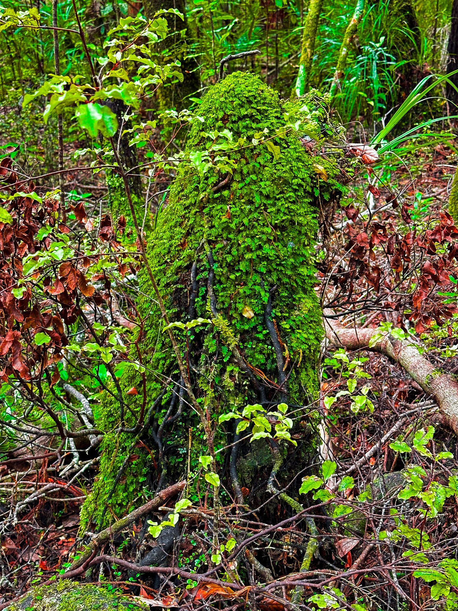
The campsite is on the edge of the remnant native forest and provides easy access to the fabulous double-loop Nature Trail. The first loop takes about 30 minutes and passes through a fabulous section of ancient rainforest. There are no kauri in this section, but a wide range of other large trees, such as kahikatea and rimu, rich with various climbing vines, ferns, moss, lichen and other undergrowth. The experience is enhanced by the small signs that name and describe many of the trees and plants.
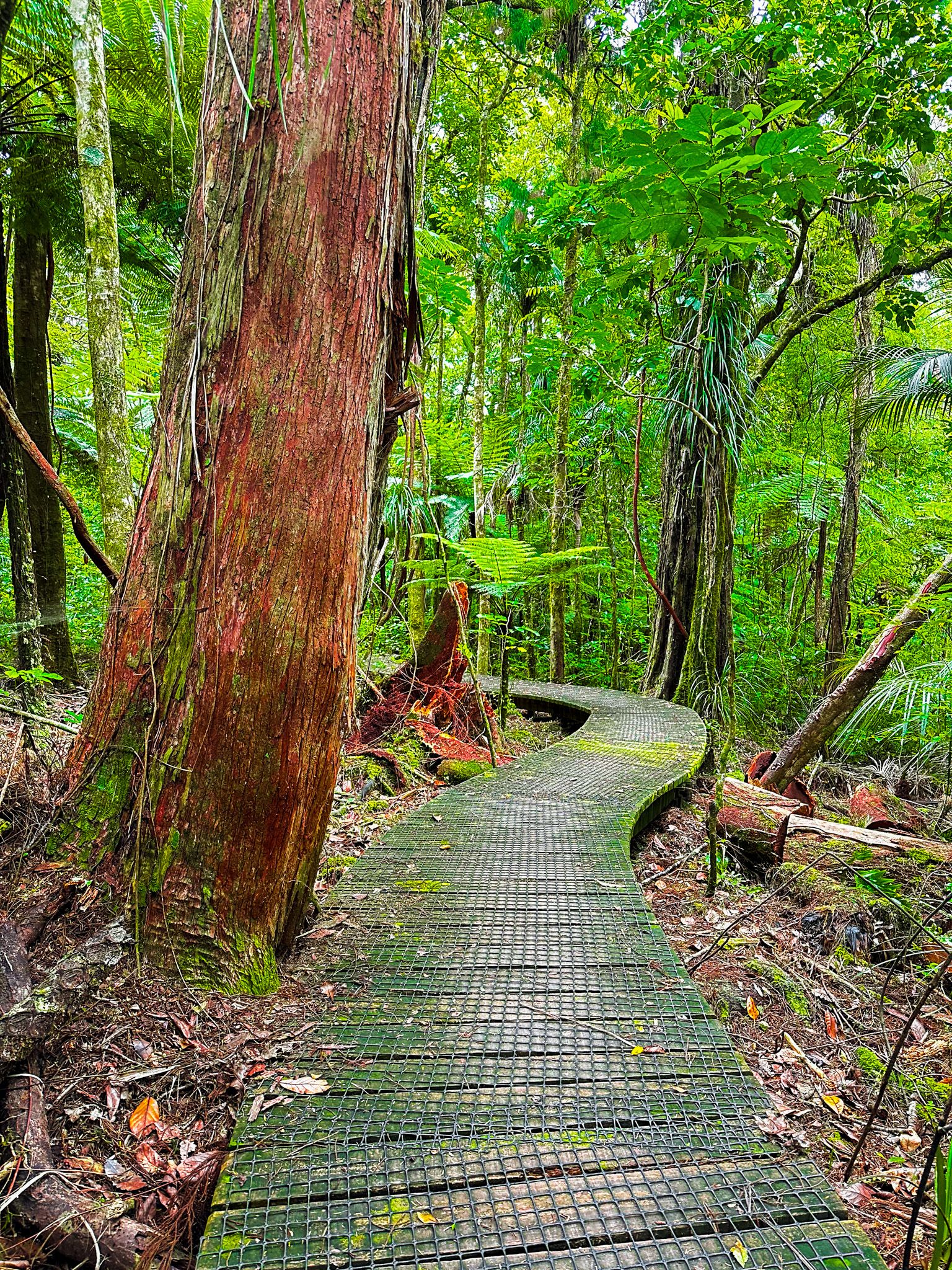
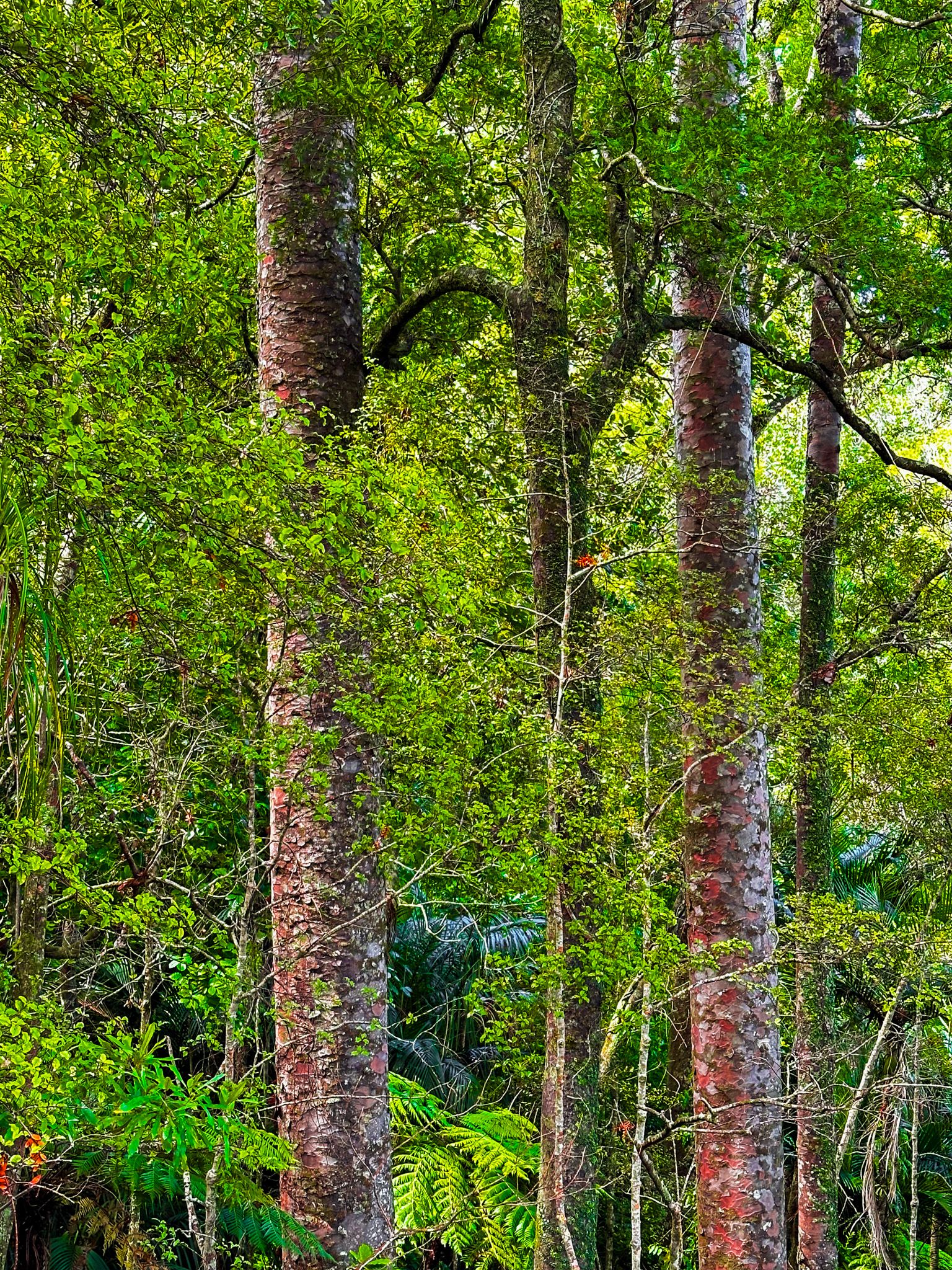
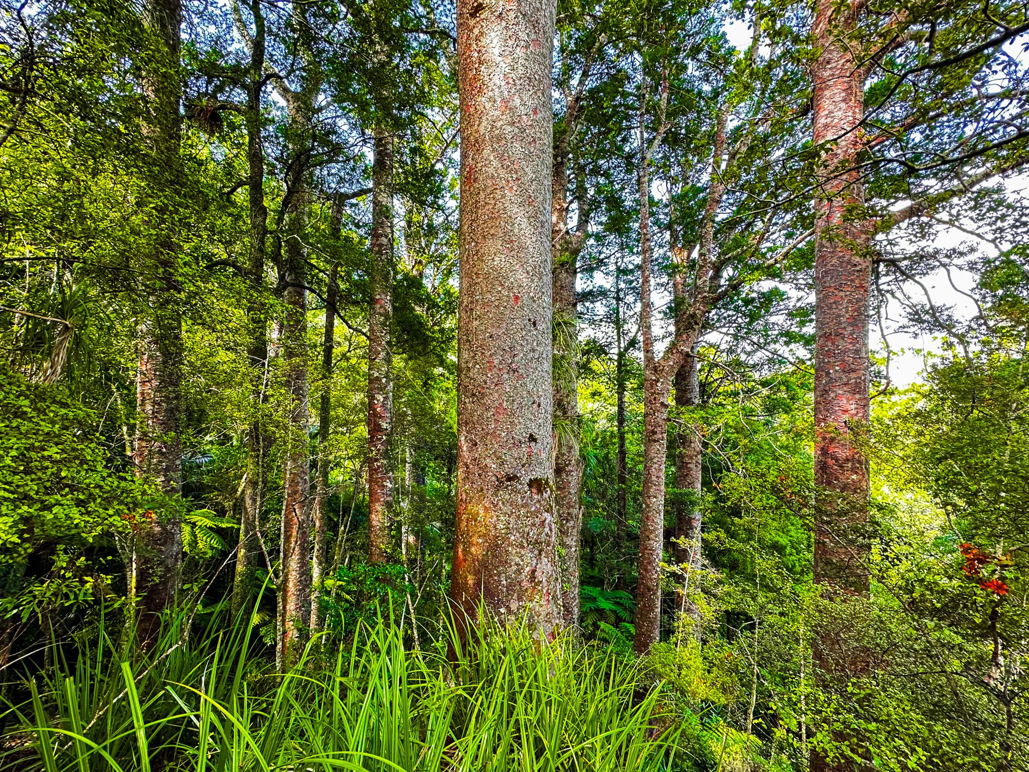
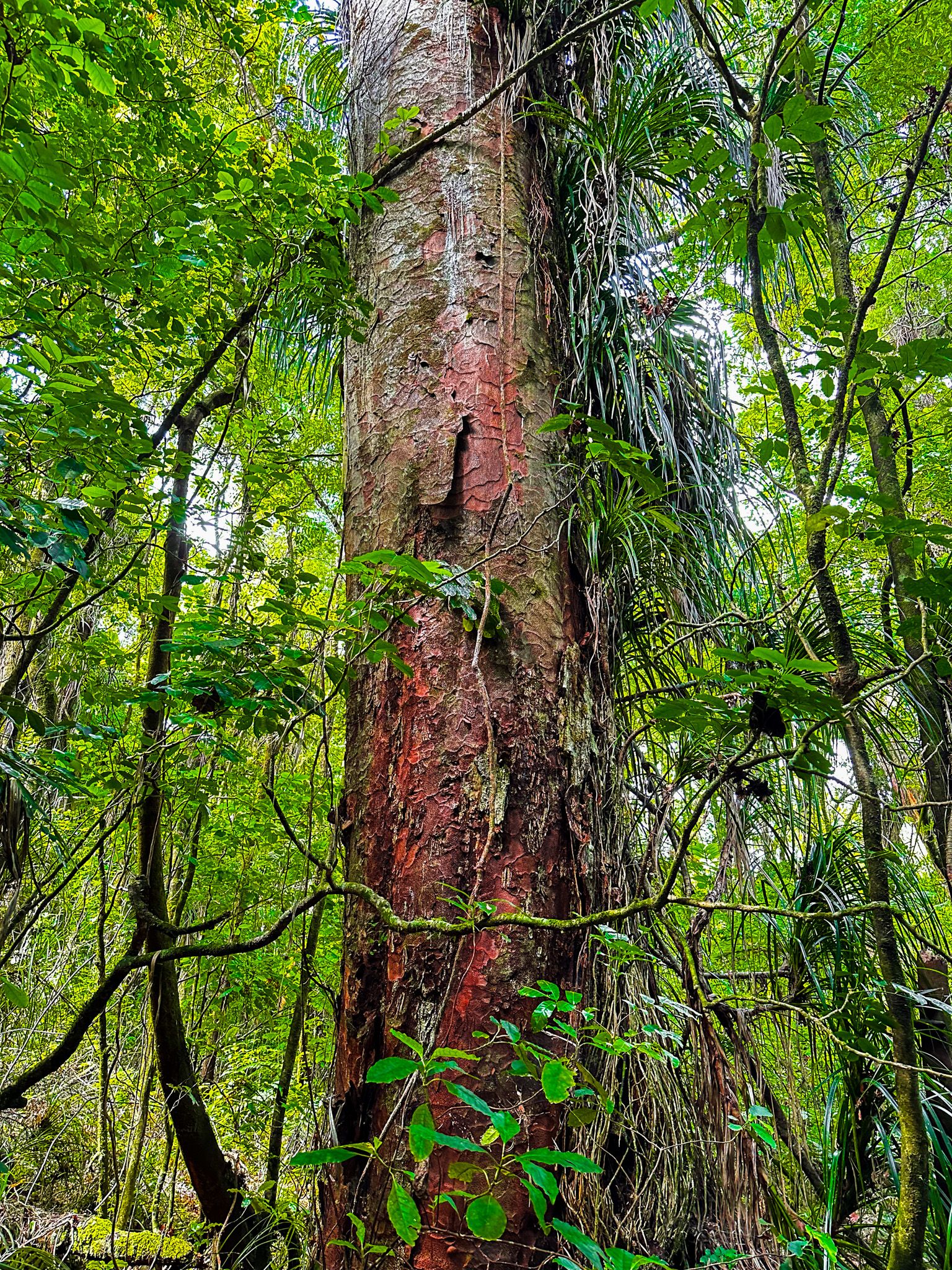
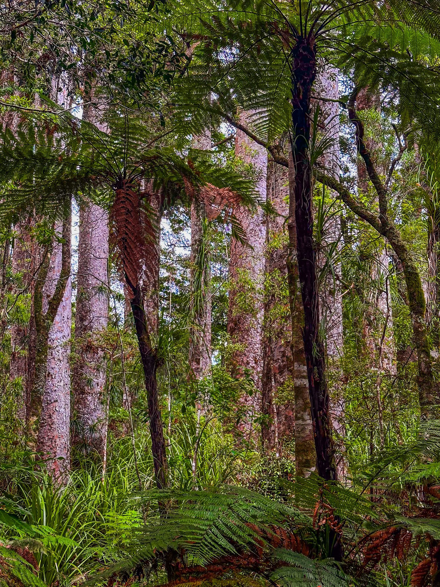
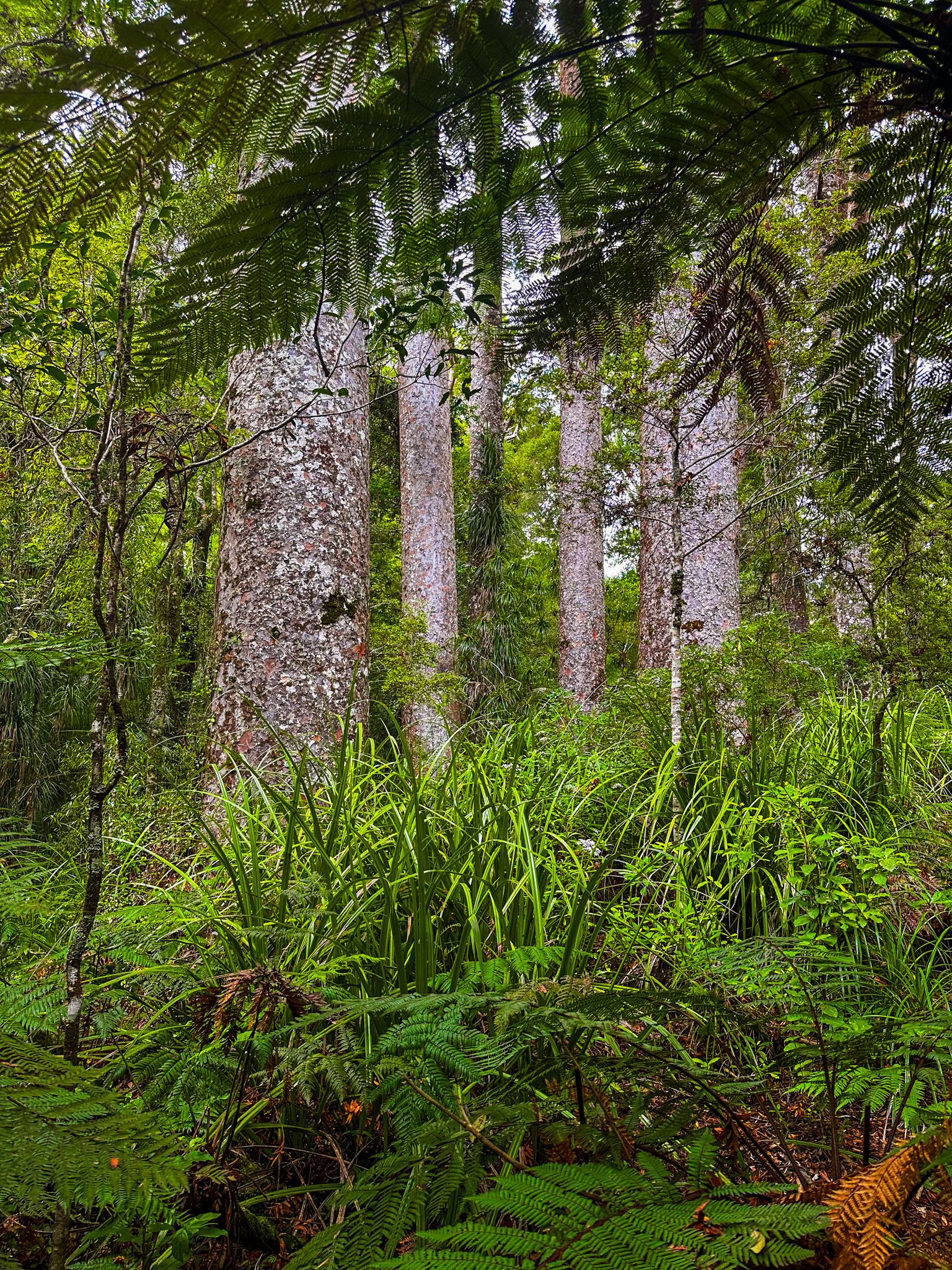
Puketi Forest Nature Trail - Kauri Lookout
The second loop adds another 30 minutes but takes you through more beautiful rainforest to a lookout beside a grove of ancient kauri trees. This is an example of what much of Northland looked like only 200 years ago. The kauri are not quite as dramatic as at Manginangina, but it is still a fabulous short walk.
From the campsite, you can also access the Pukartea Ridge Track. This heads west across the Puketi Forest and forms part of Te Araroa. The first 2 km is a mix of exotic pine forest and farmland before you enter the forest.