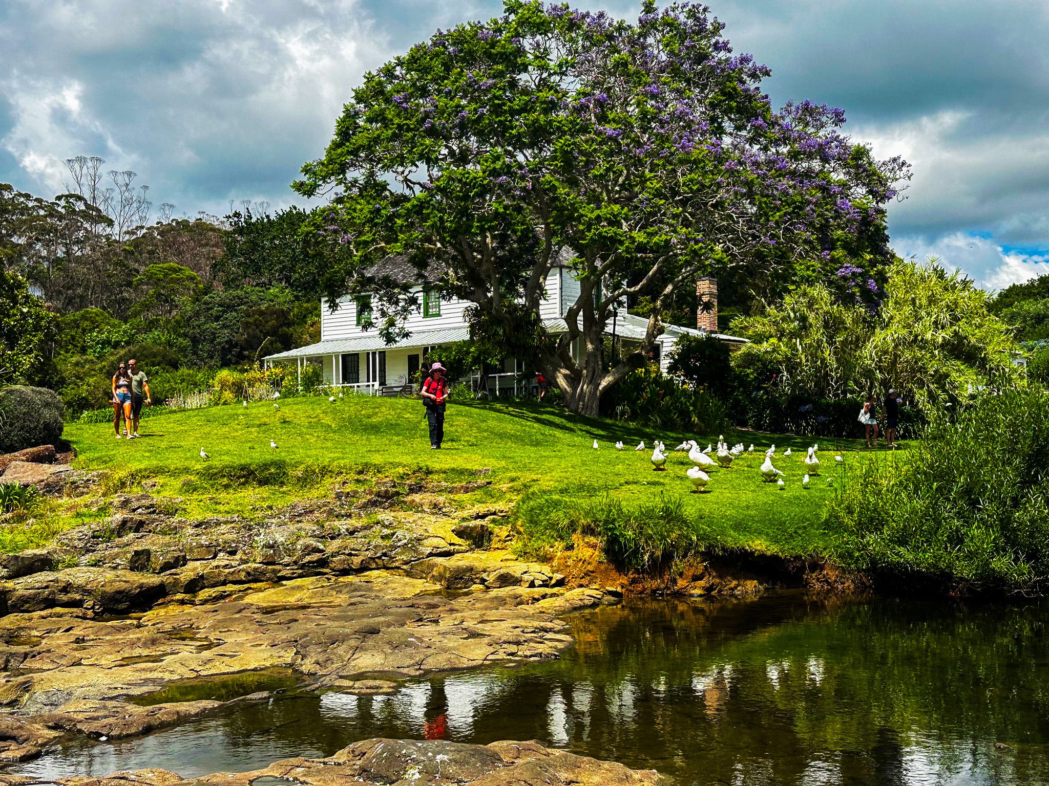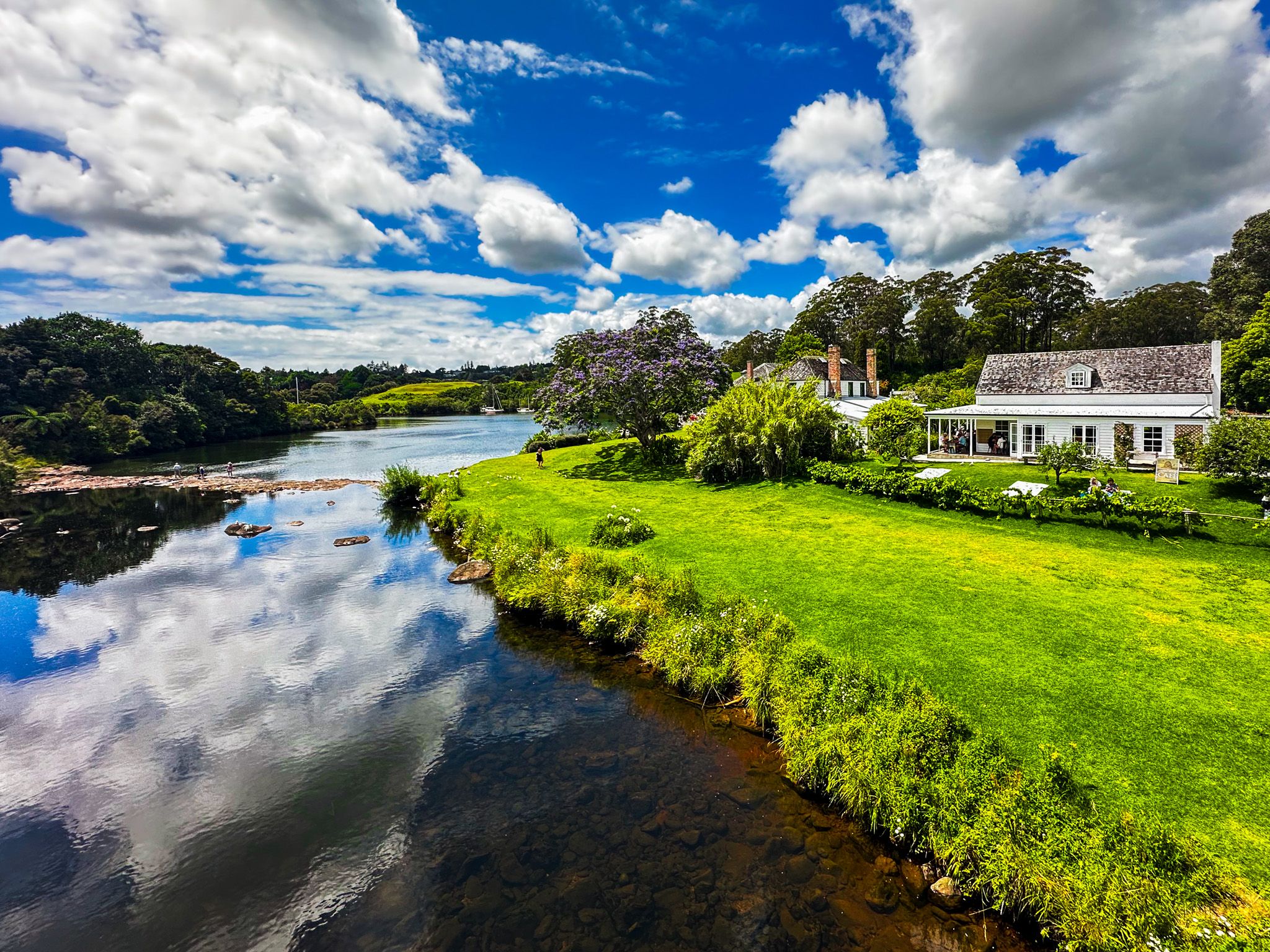
The historical features of Kerikeri are mainly clustered around Kerikeri Basin, where the Kerikeri River flows into Kerikeri Inlet, leading to the Pacific Ocean. At the time of early European interaction, there was a substantial Māori presence around the basin, with pā, kāinga (a non-fortified village) and their gardens a feature of the area. Some of the most substantive early interactions between Maori and Europeans occurred here. The focus was establishing a missionary station, including Mission House and what became the Stone Store.
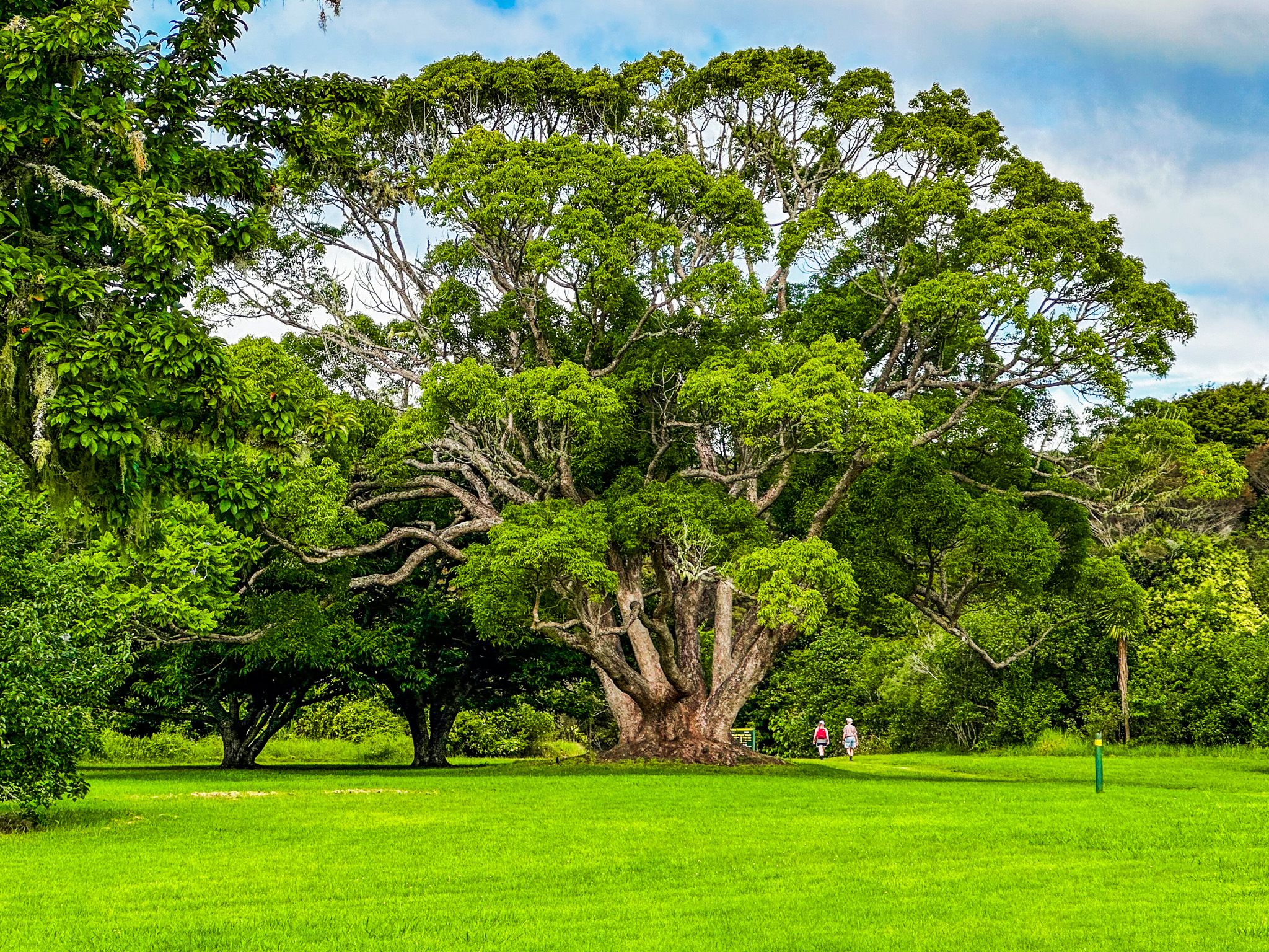
The European activities reflected a strong and, initially, supportive Māori presence. Ngāpuhi, led by Hongi Hika in the early 1800s, quickly saw the advantages of trading with Europeans, including opportunities to access guns. In 1814, Hongi Hika sold 53 square km of land, including land around the basin, to Samual Marsden for the use of the Church Missionary Society (Anglican). The pā, Kororipo, was just to the east, and a nephew of Hongi Hika, Ruatara, provided protection. Grape vines and citrus were successfully planted as early as 1819, and the Reverend John Butler was the first to use a plough in NZ in 1820. Mission House was built in 1822, and the Stone Store to the southeast in 1832-36, respectively, the oldest wood and stone buildings in NZ. Some surrounding gardens and exotic trees are also historic, although the cafe behind the house is much more modern.
It took a while to establish Kerikeri, initially called Gloucester Town. Fortunately, the name did not stick, and the Māori name of “Keddi Keddi” or “Kiddeekiddee”, possibly based on the river's name, took hold. The “d” is a soft rolled “r”, hence the name Kerikeri as Māori became a written language.
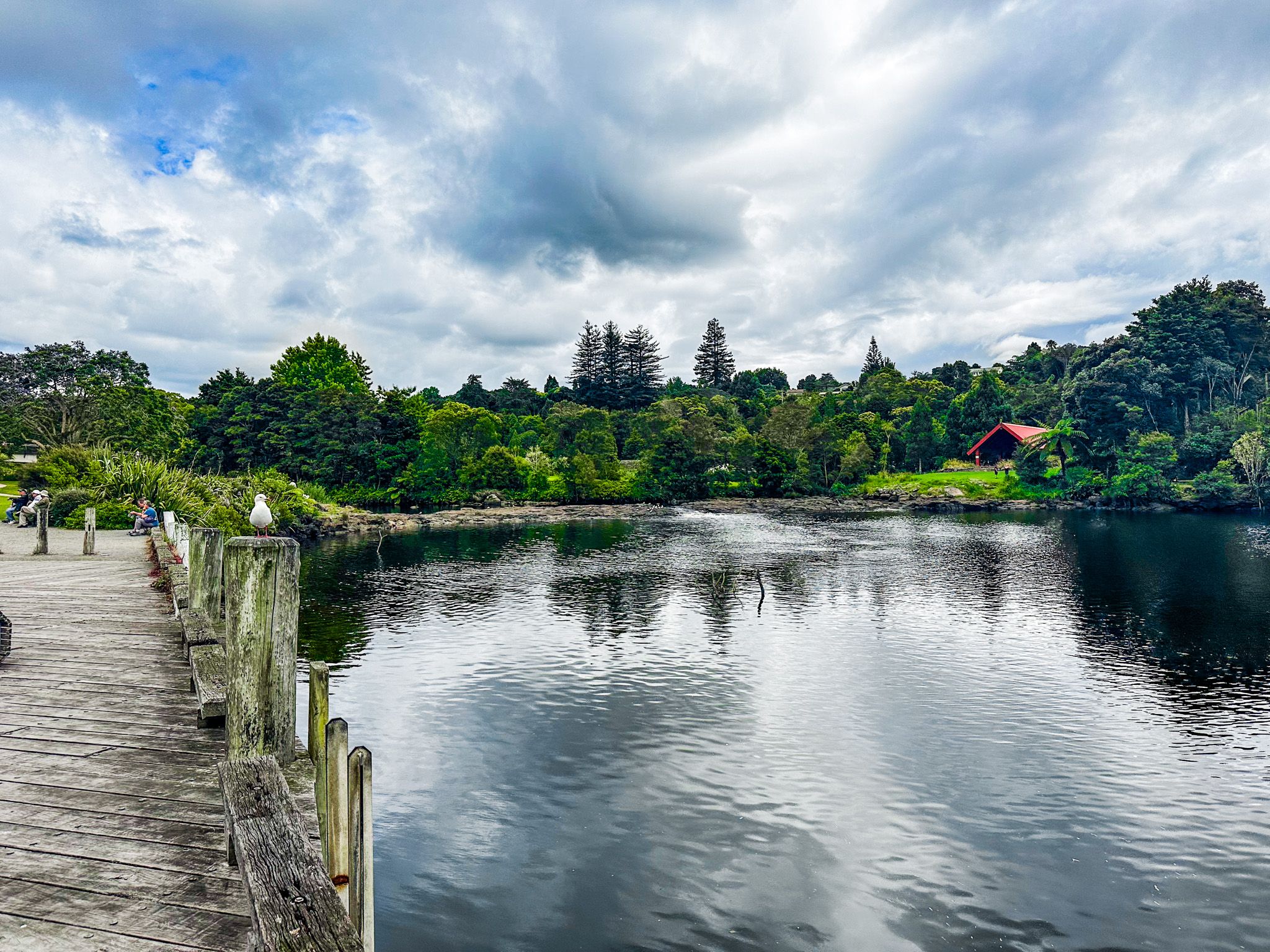
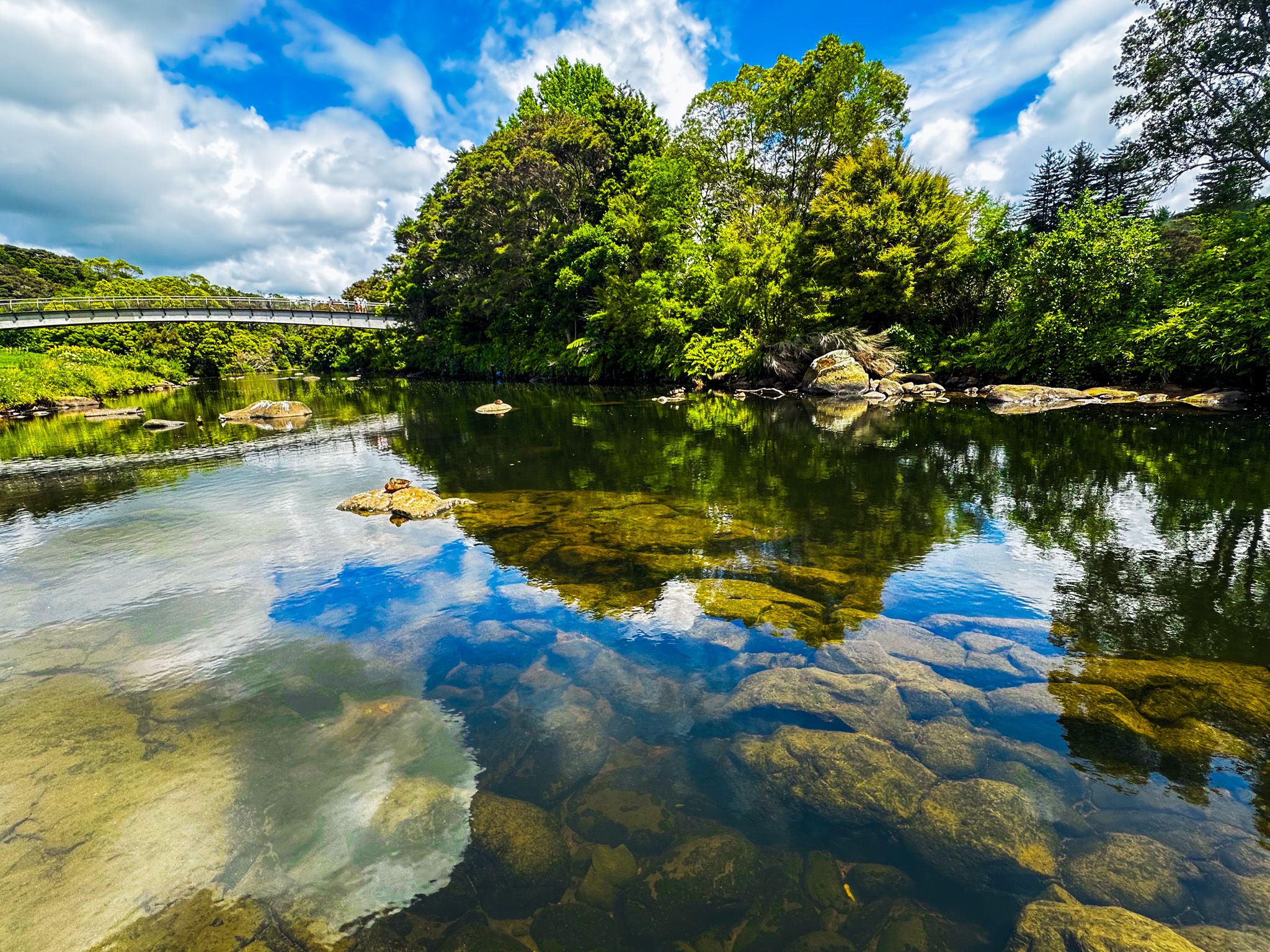
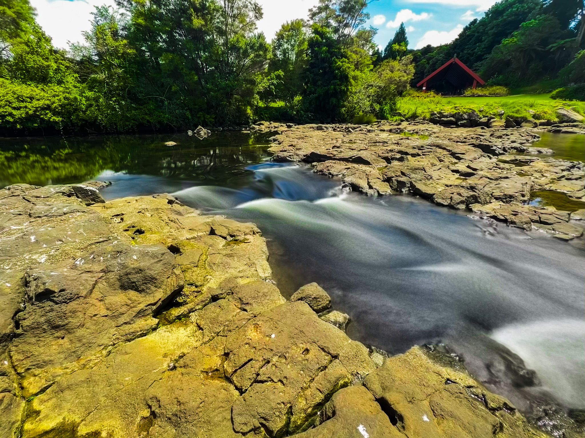
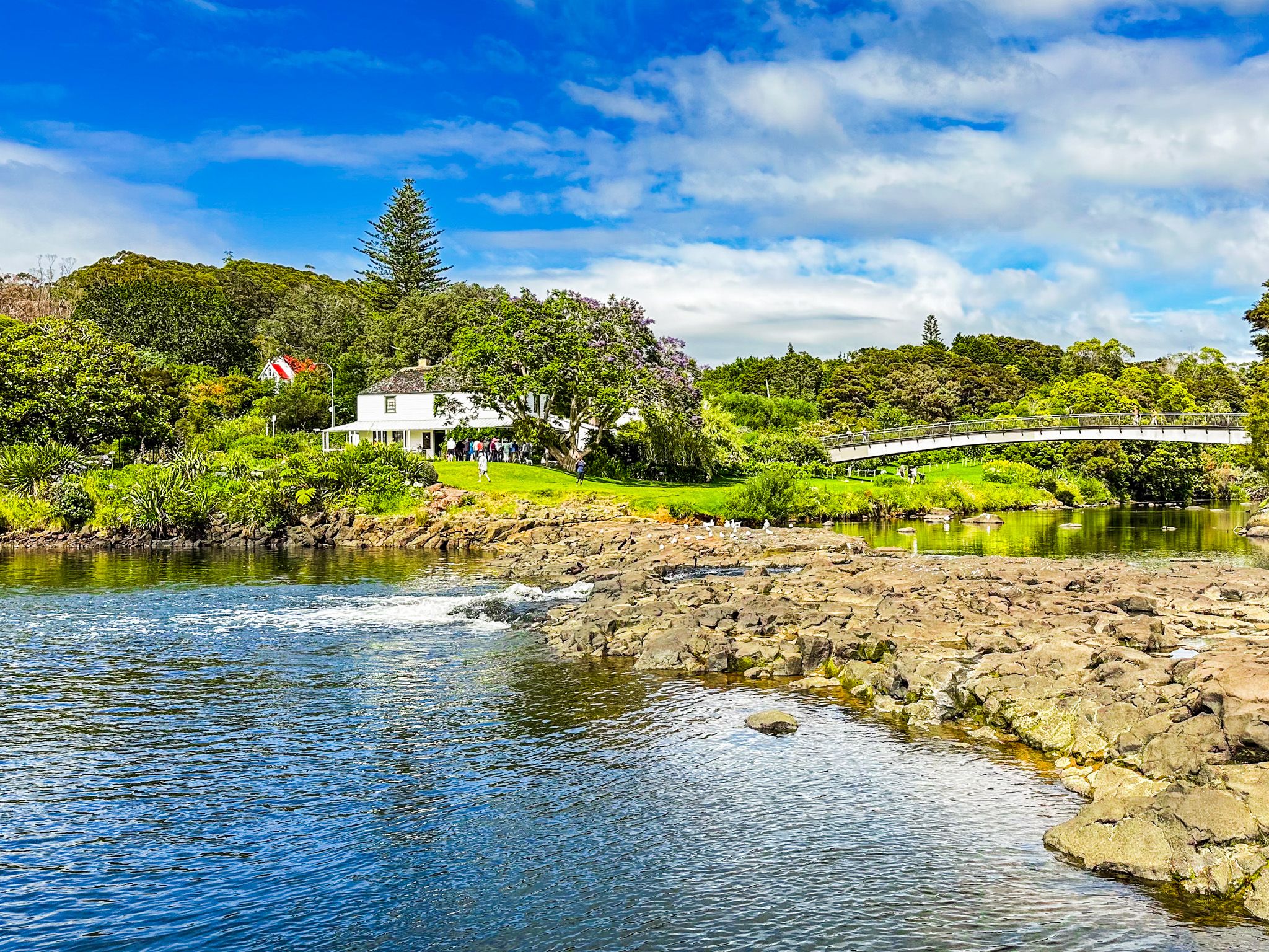
Today, the Kerikeri Basin is beautiful. On the east side are the historic buildings and Kororipo pā, with a large grass reserve surrounded by trees on the west side. At the river mouth, between the reserve and historic buildings, is an accessible rock barrier with a narrow but low waterfall. It was once higher but was reduced in the early 1900s to make it easier to build a bridge.
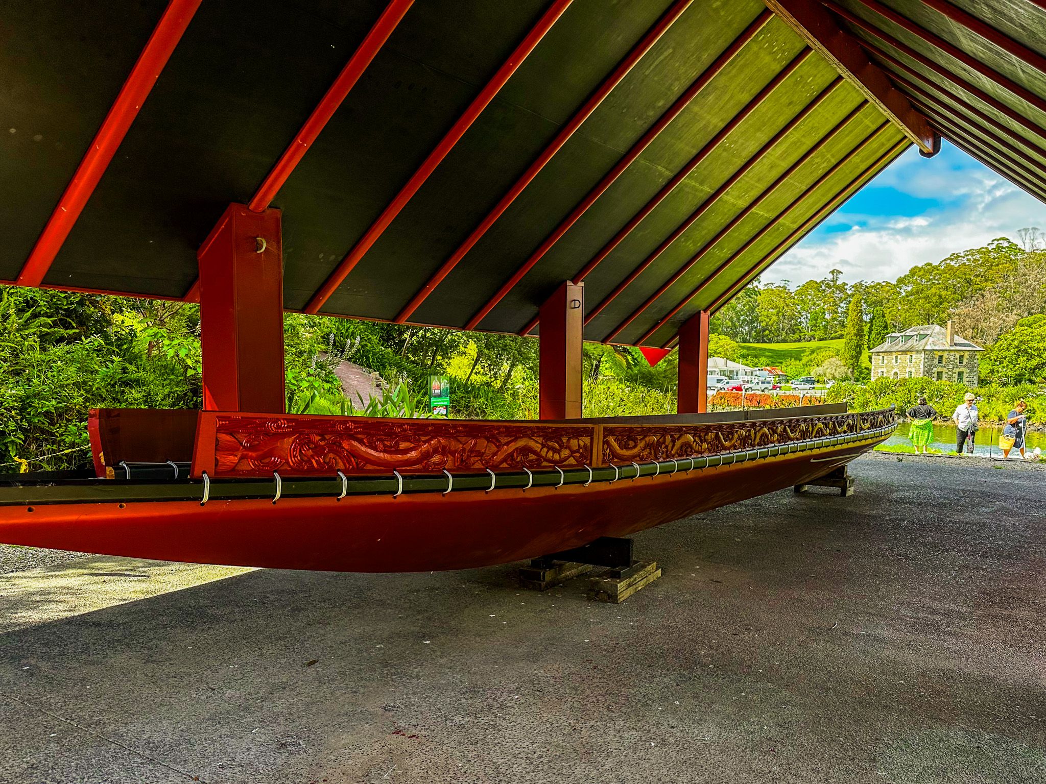
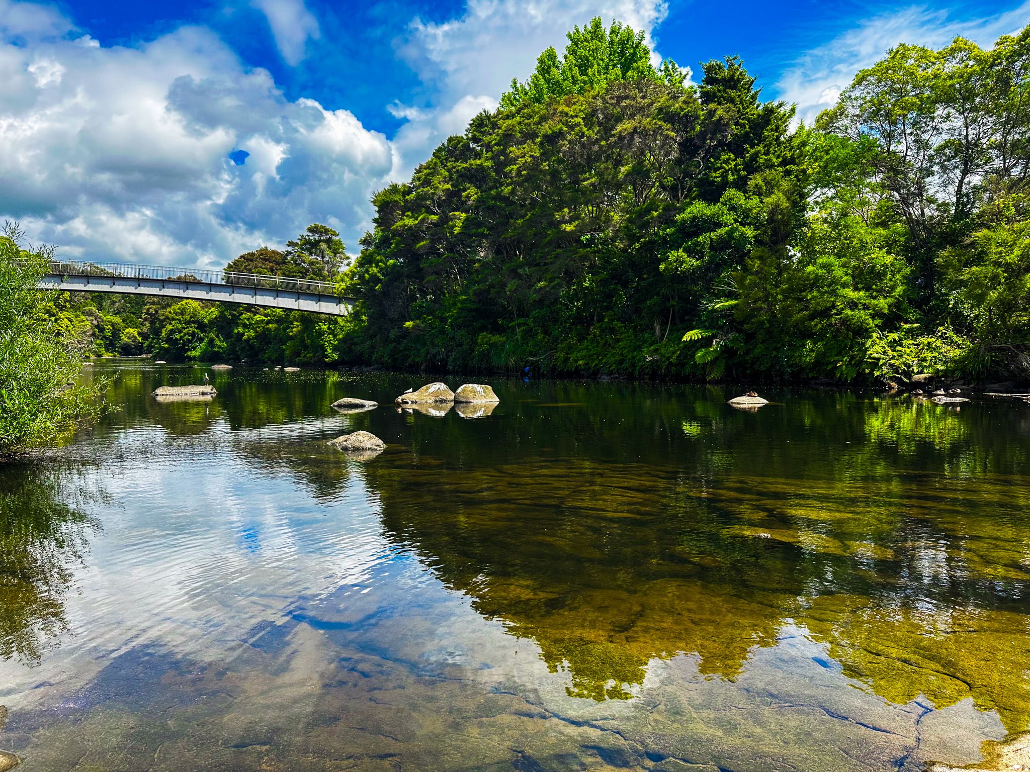
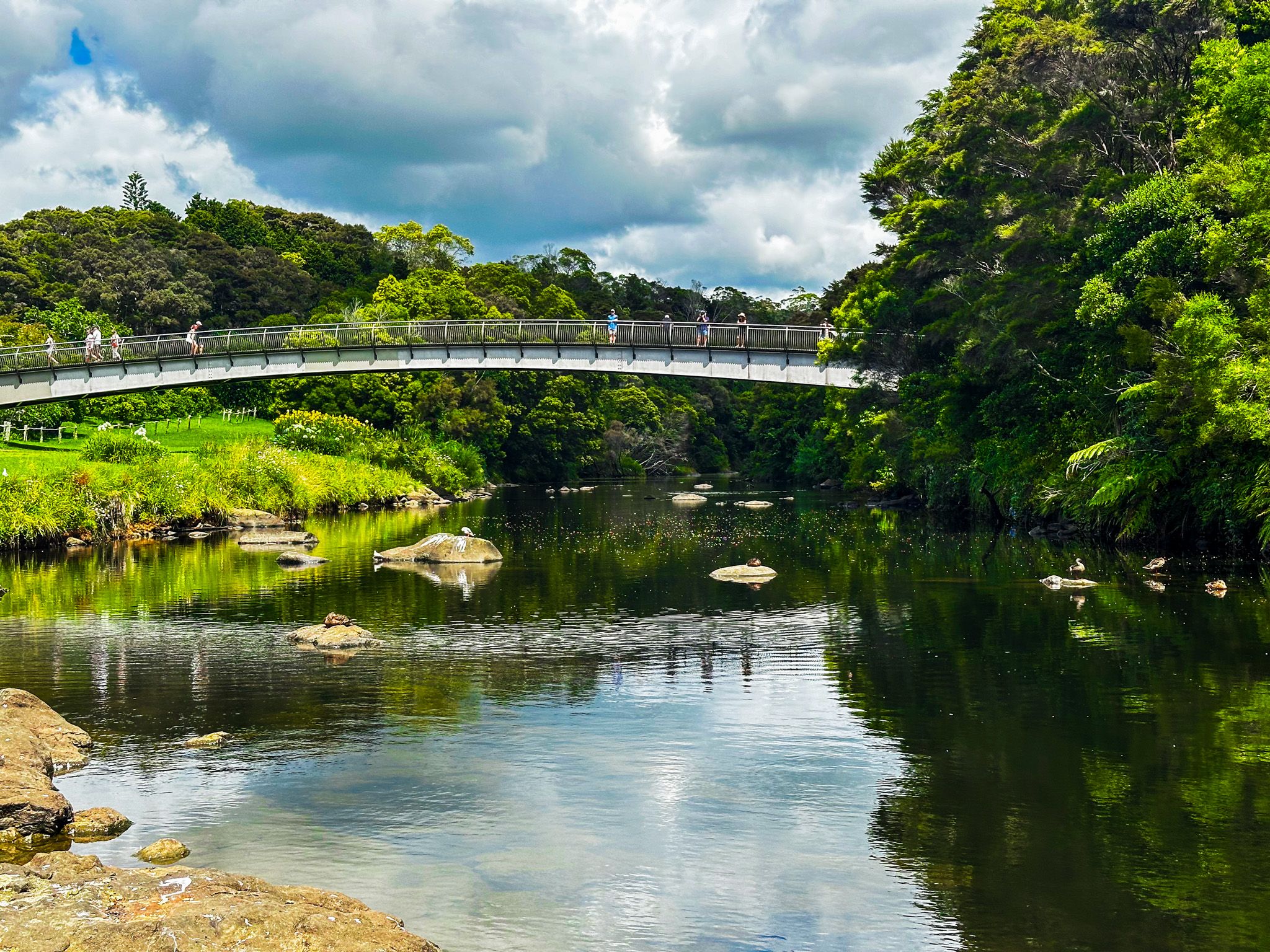
The east side of Kerikeri Basin can be accessed from the town centre heading northeast along Kerikeri Road, with a car park on the wharf next to the Stone Store. Alternatively, access the west side of Landing Road with a larger car park next to the reserve and start the Kerikeri River Track. There are two Māori canoes next to the river, and a short walk takes you to Te Ahurea, a reconstruction of a kāinga. There is also a food bridge between the reserve and historic buildings with nice views up and down the river.