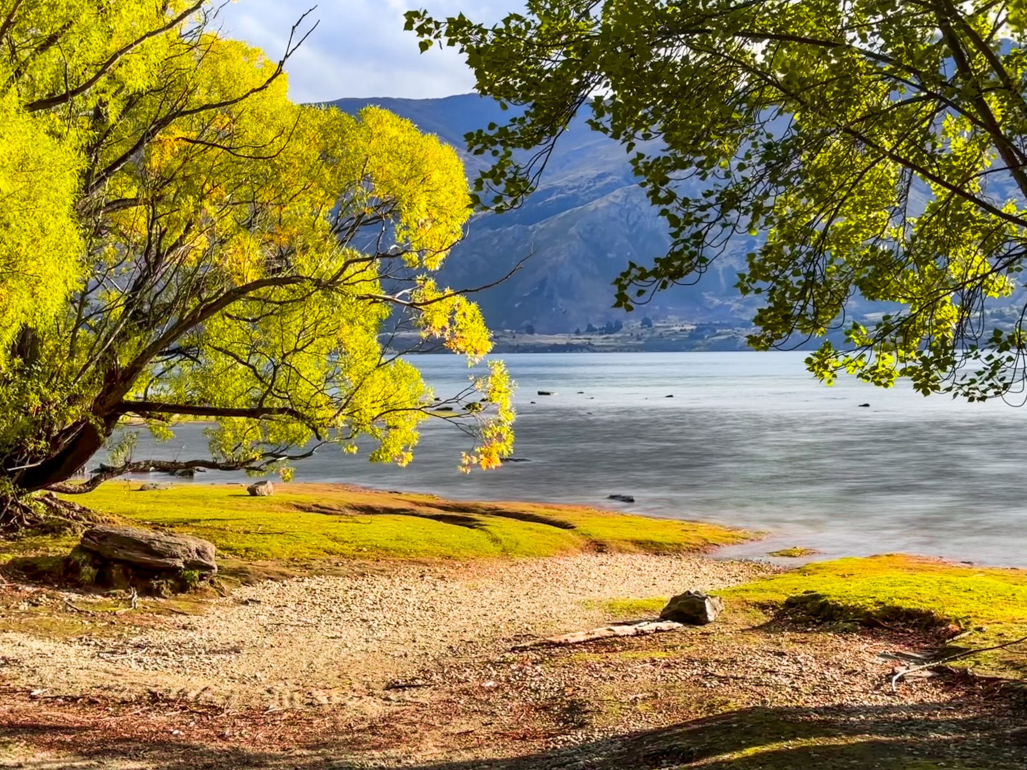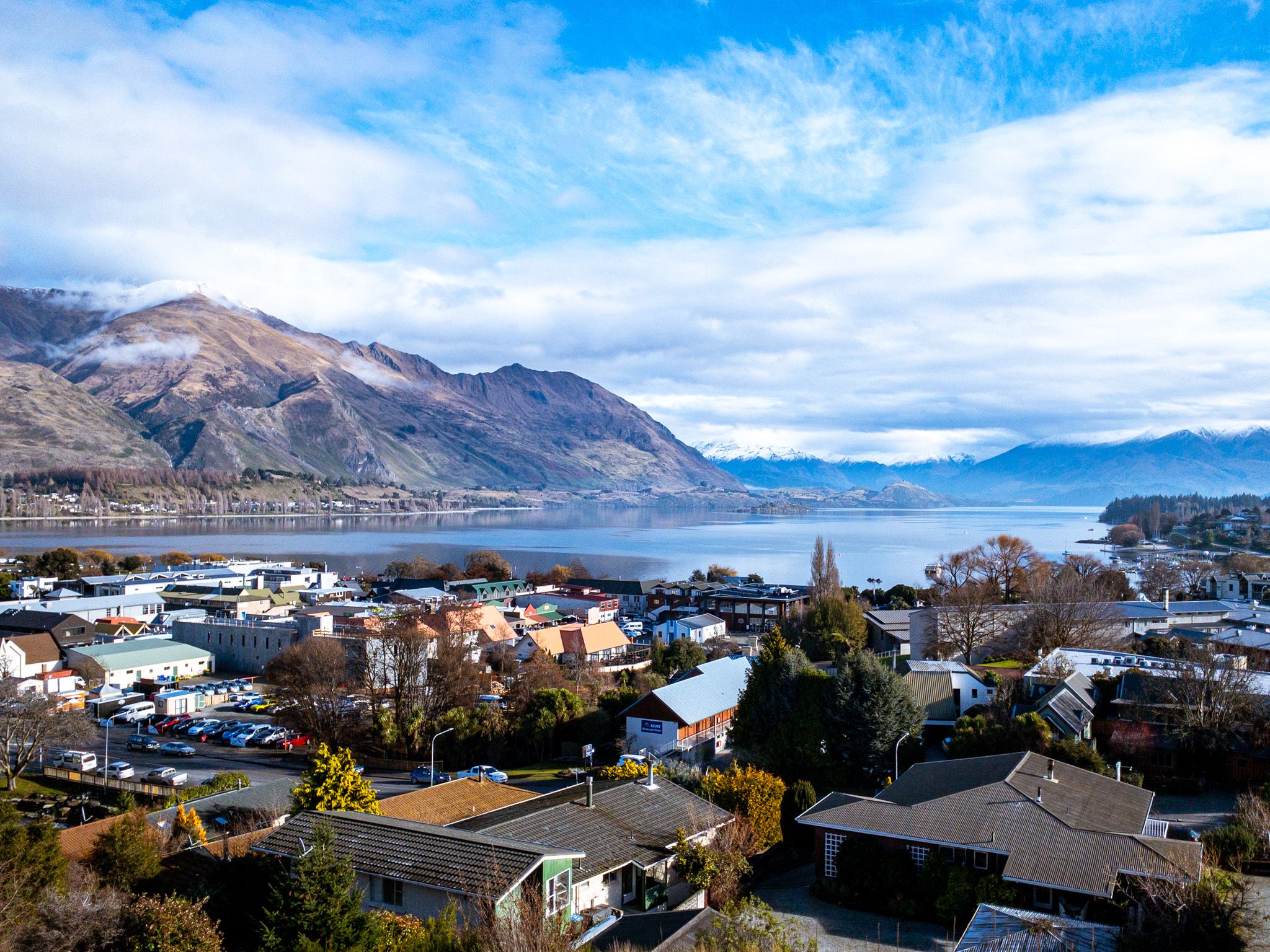
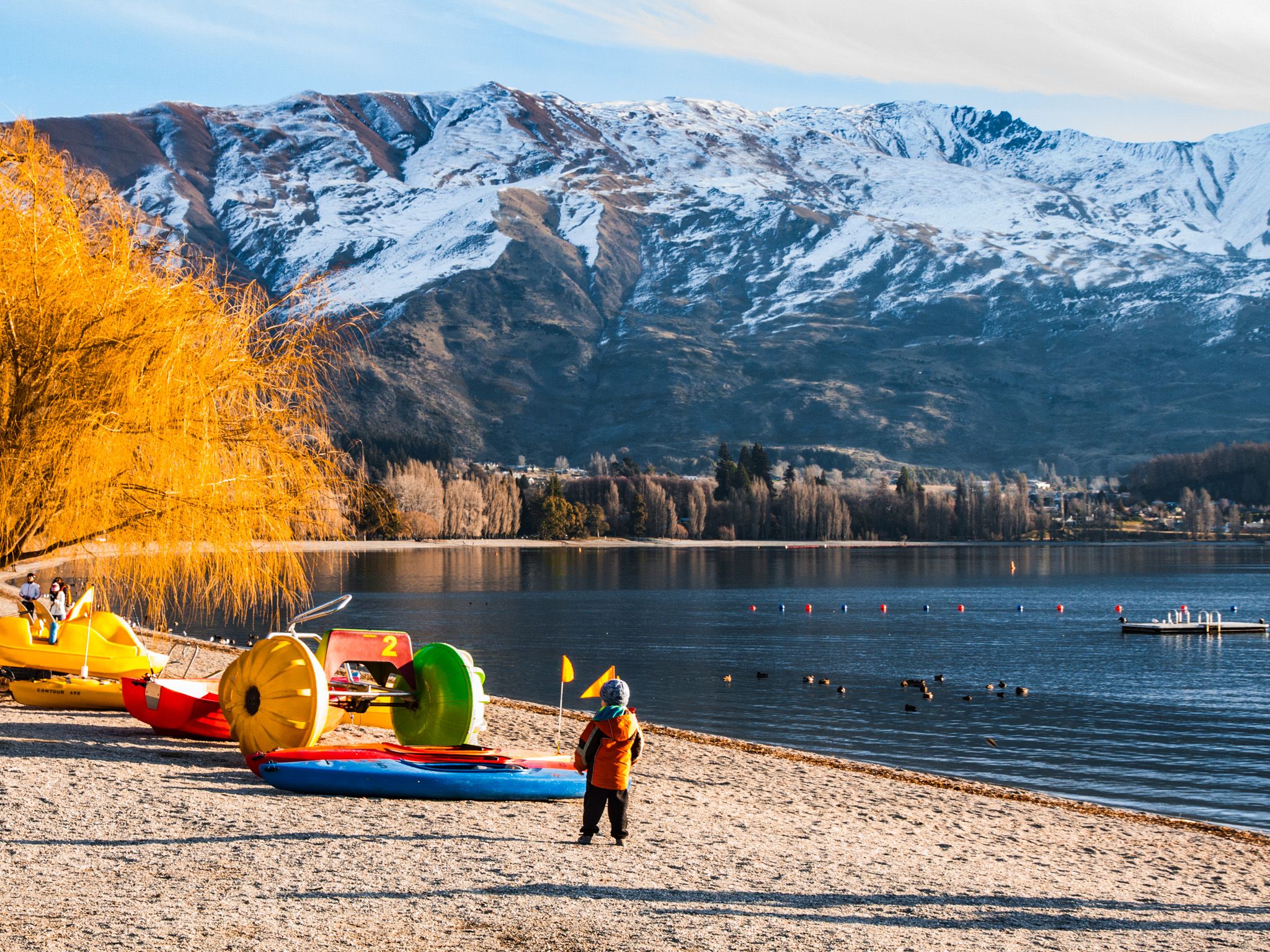
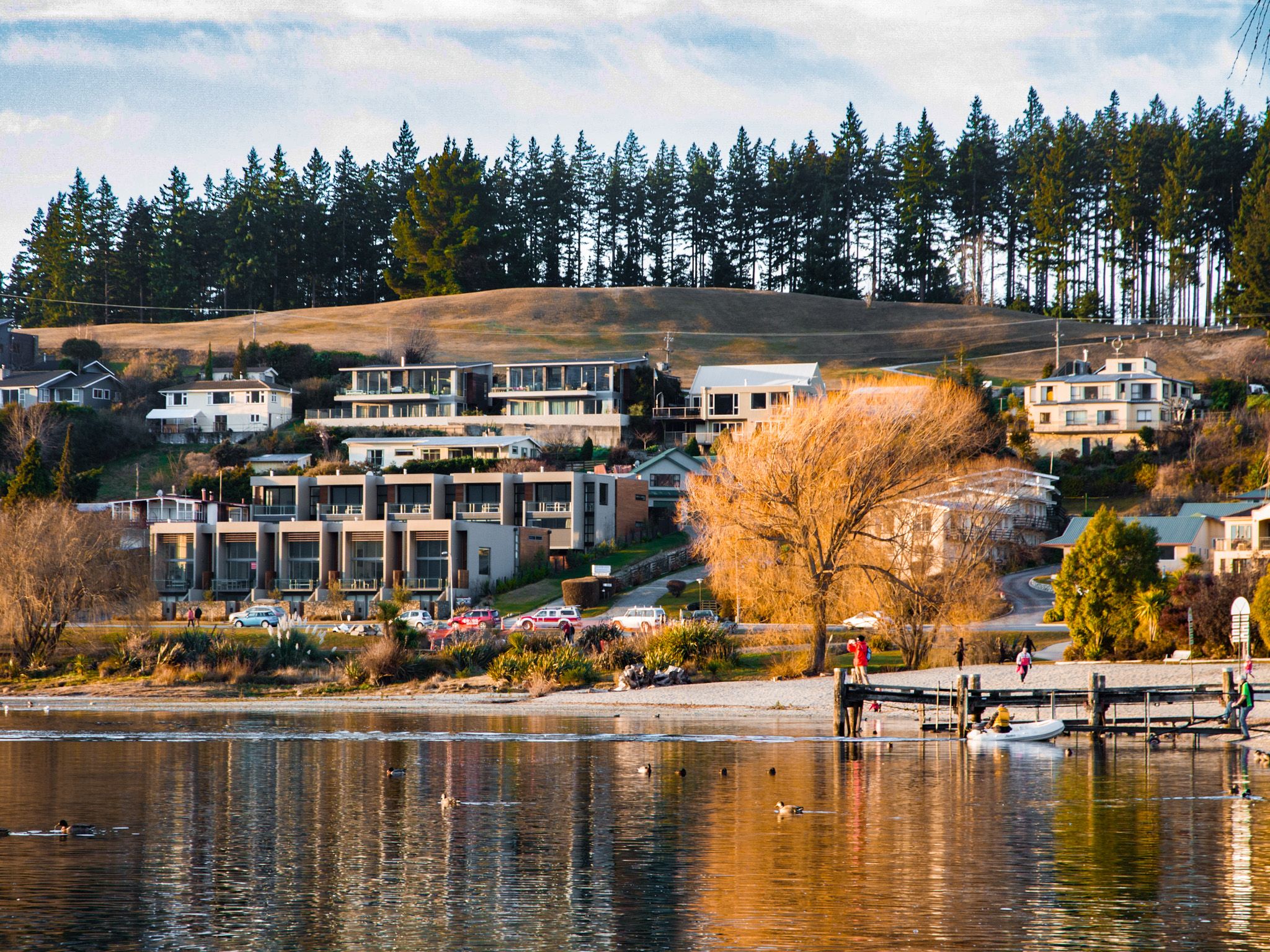
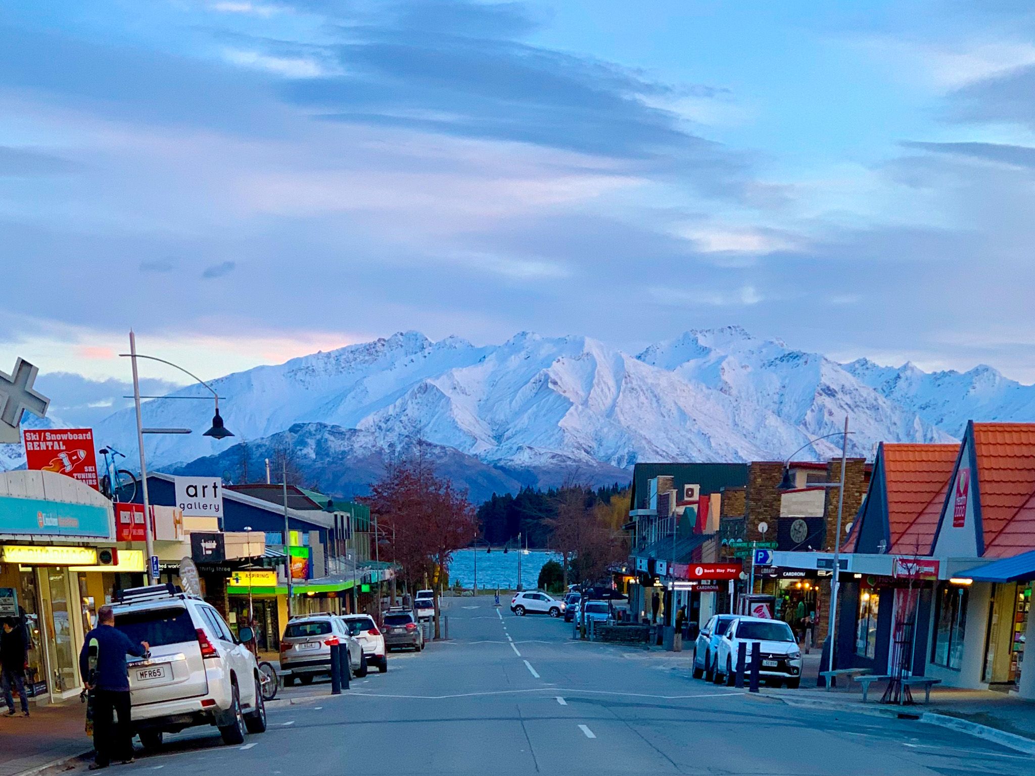
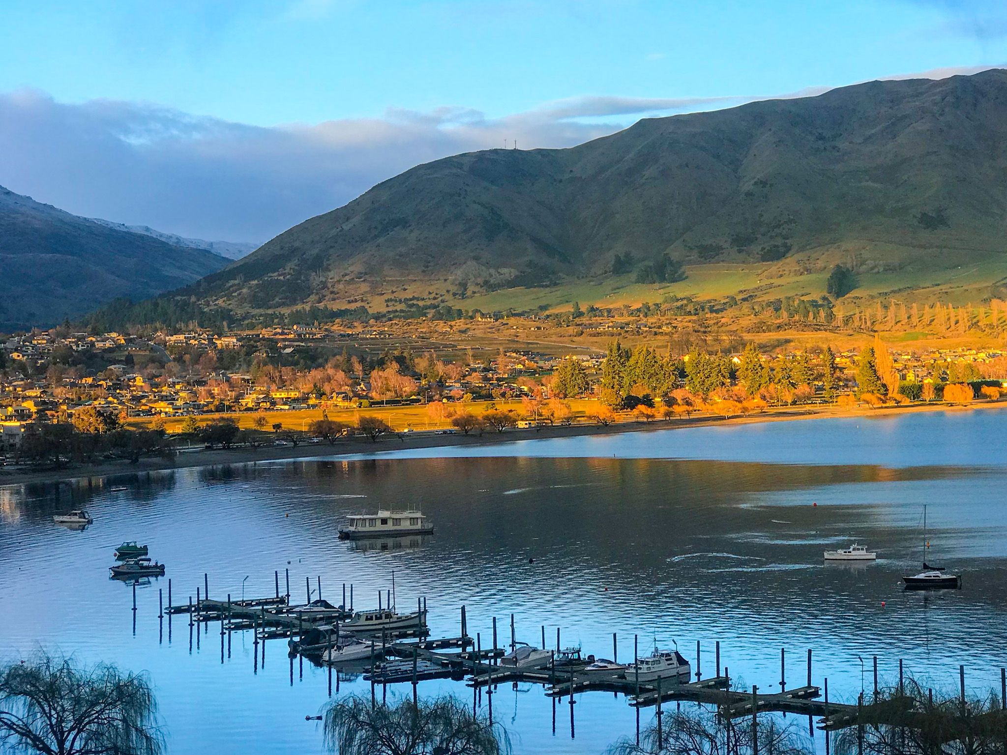
Wānaka is a tourist destination beside Roys Bay at the south end of Lake Wānaka in Central Otago. It has developed rapidly over the last two decades but is still much smaller than Queenstown. It can be very busy during peak holiday periods and special events, but it is still easy to get around most of the time. It is also a gateway for many activities, and visitors can spread out easily.
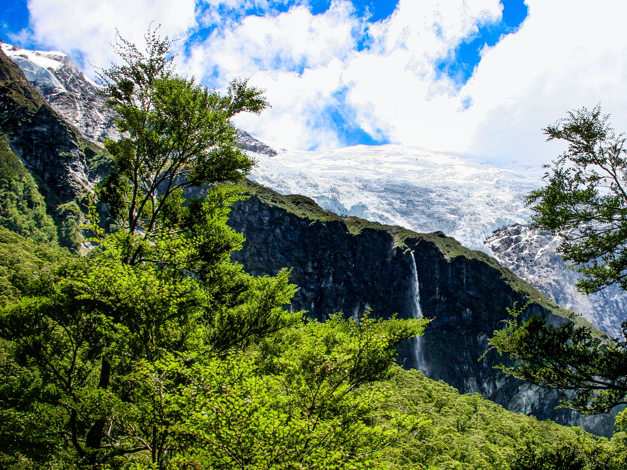
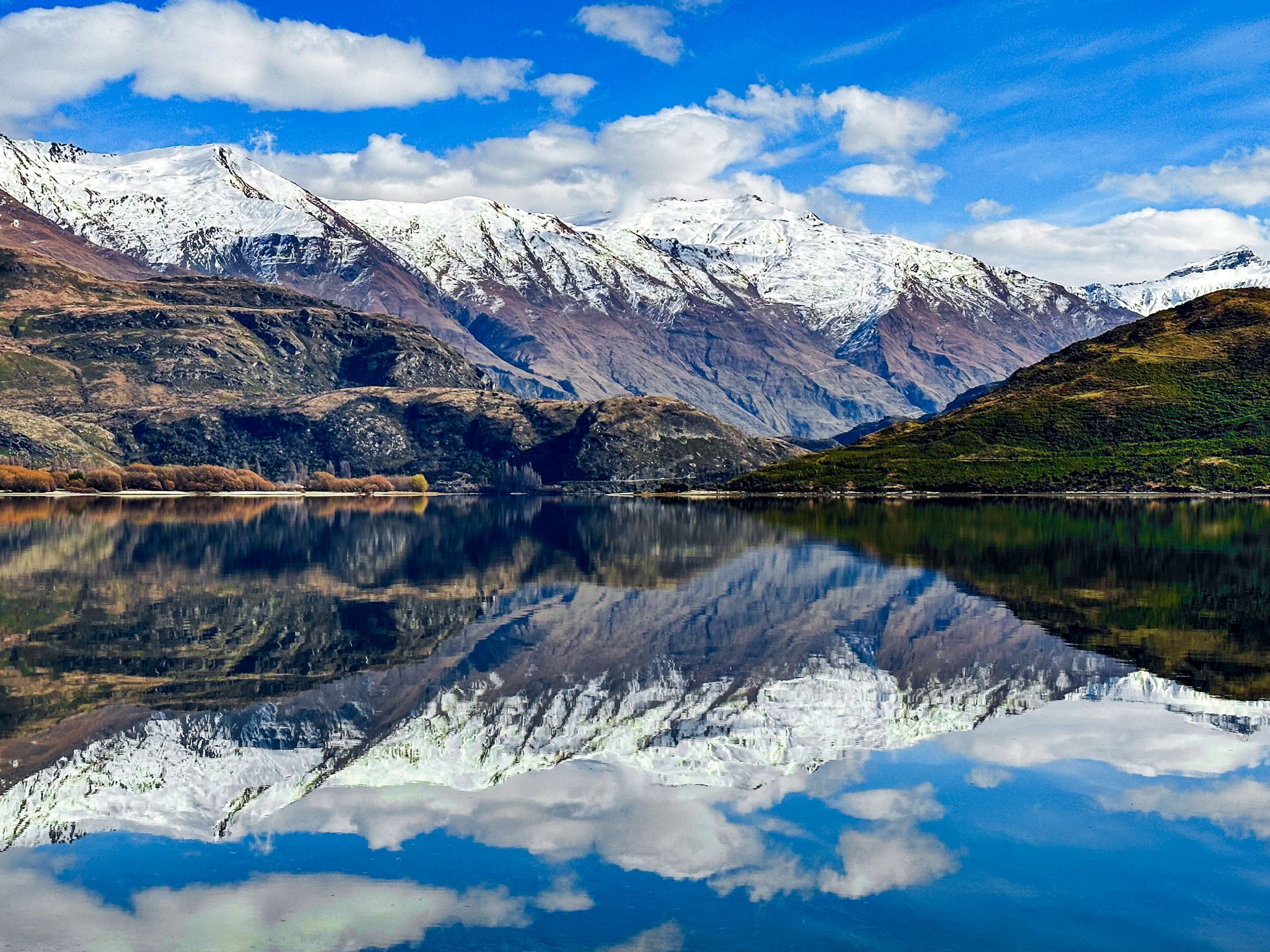
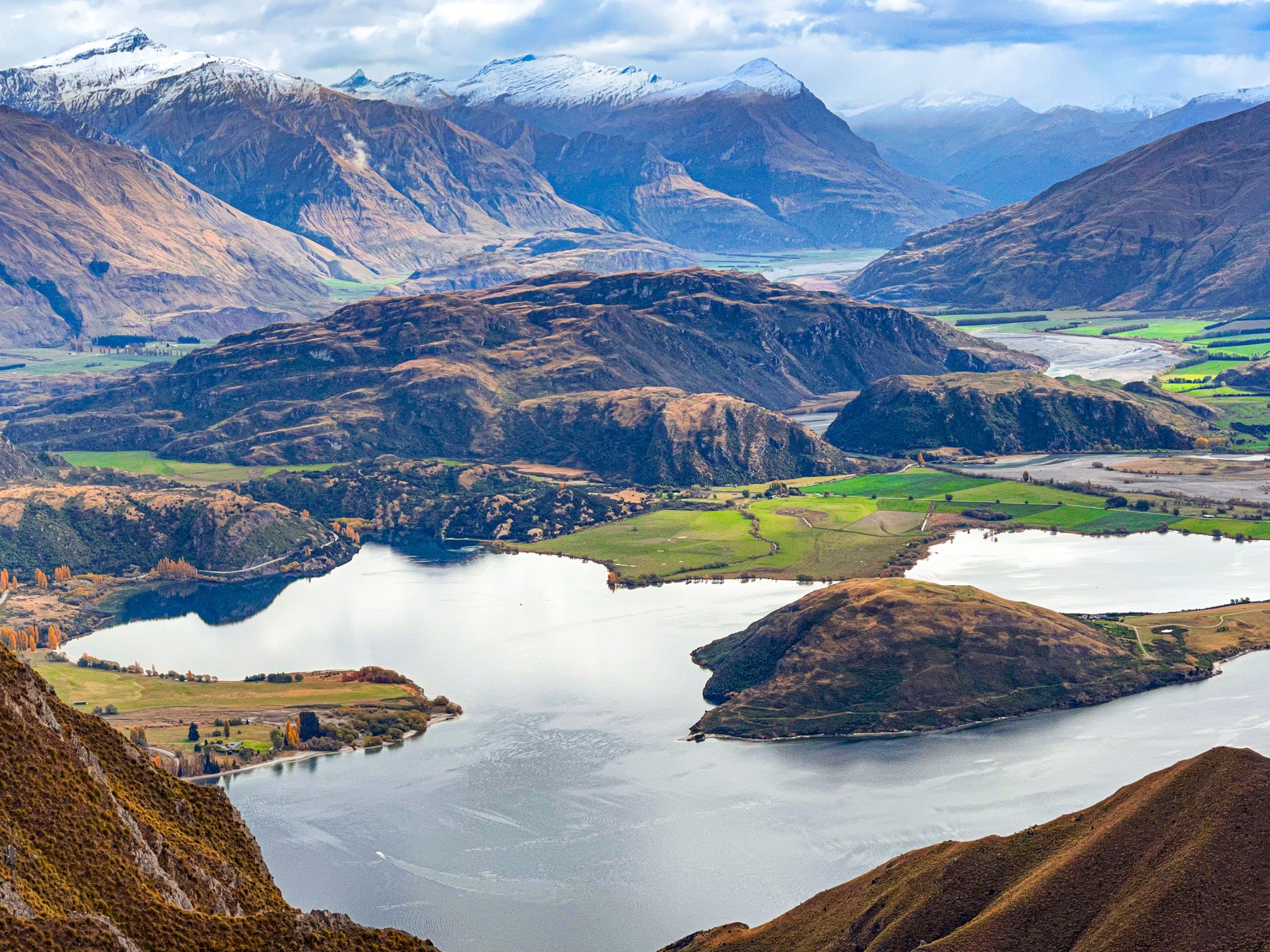
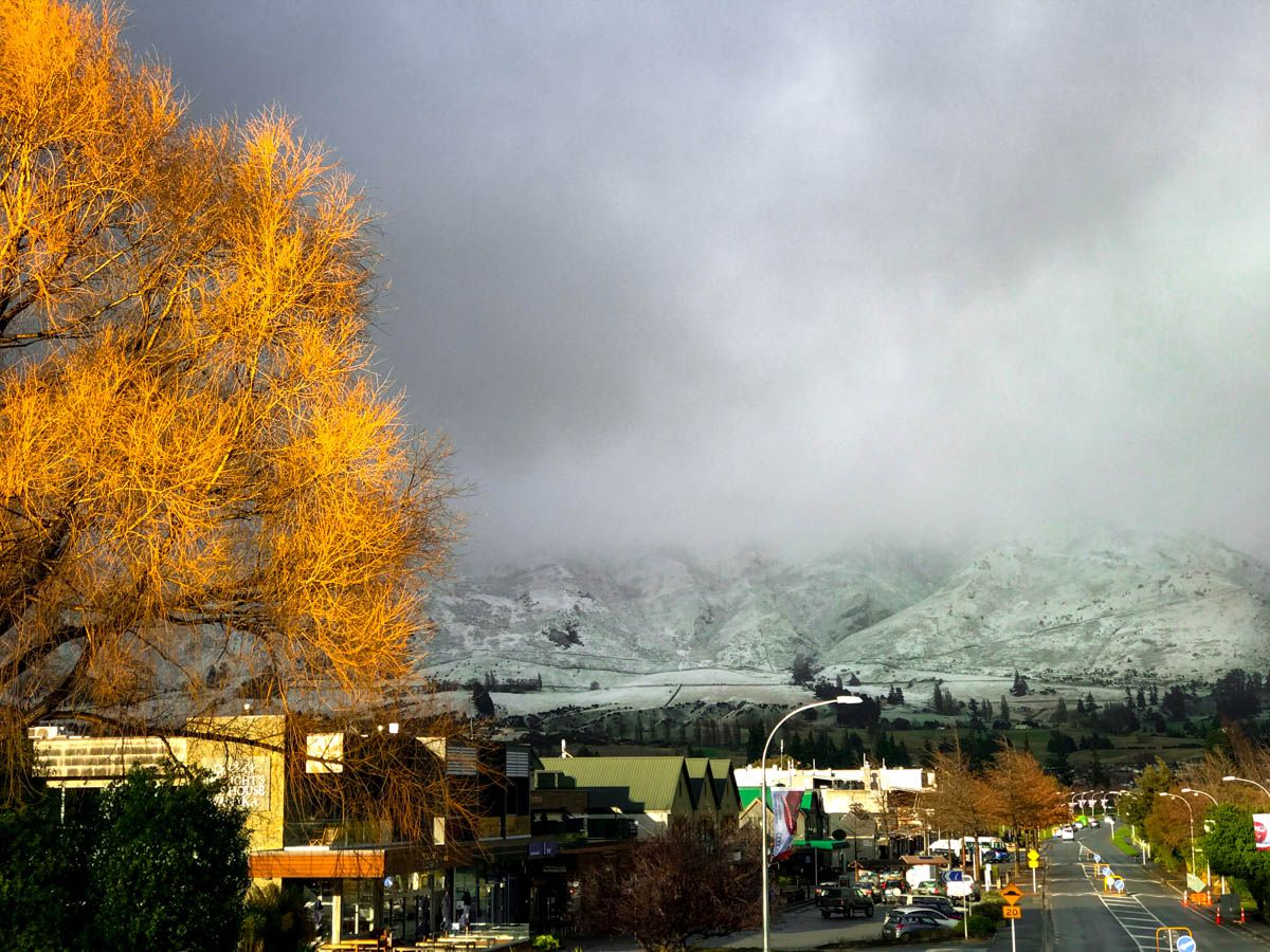
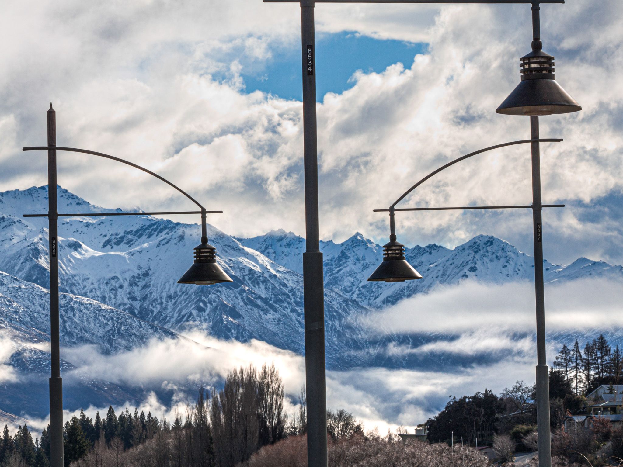
The location is exceedingly beautiful. To the west is a short range of peaks dominated by Roys Peak (1,572 metres) and Mount Alpha (1,630 metres). To the southwest is the Cardona Valley between Cardona and the Pisa Range, with peaks over 2,000 metres. The Criffel Range (1,300 metres) is south of the town. The town's northwest side, including Albert Town, is bounded by the lake outlet, the Clutha River / Mata-Au, which runs down the wide Clutha Valley to Lake Dunstan. Across the lake from the town, the view is dominated by the 2,000-metre Buchanan Peaks. To the west of the Buchanans is the Matukituki River valley and then the stunning Harris Mountains, including Treble Cone and Black Peak at 2,289 metres. The snowline is around 1,000 metres, and mountains have snow during Winter.
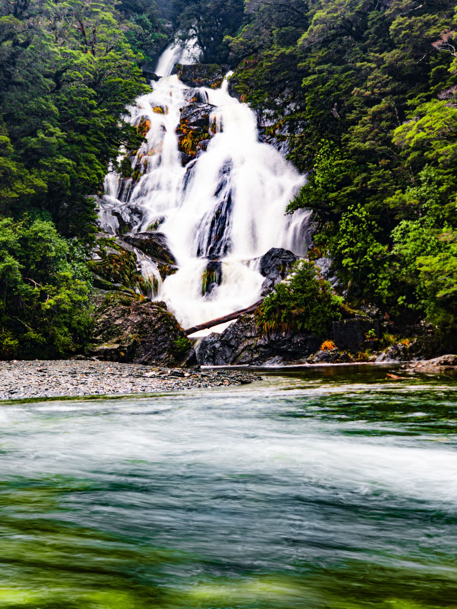
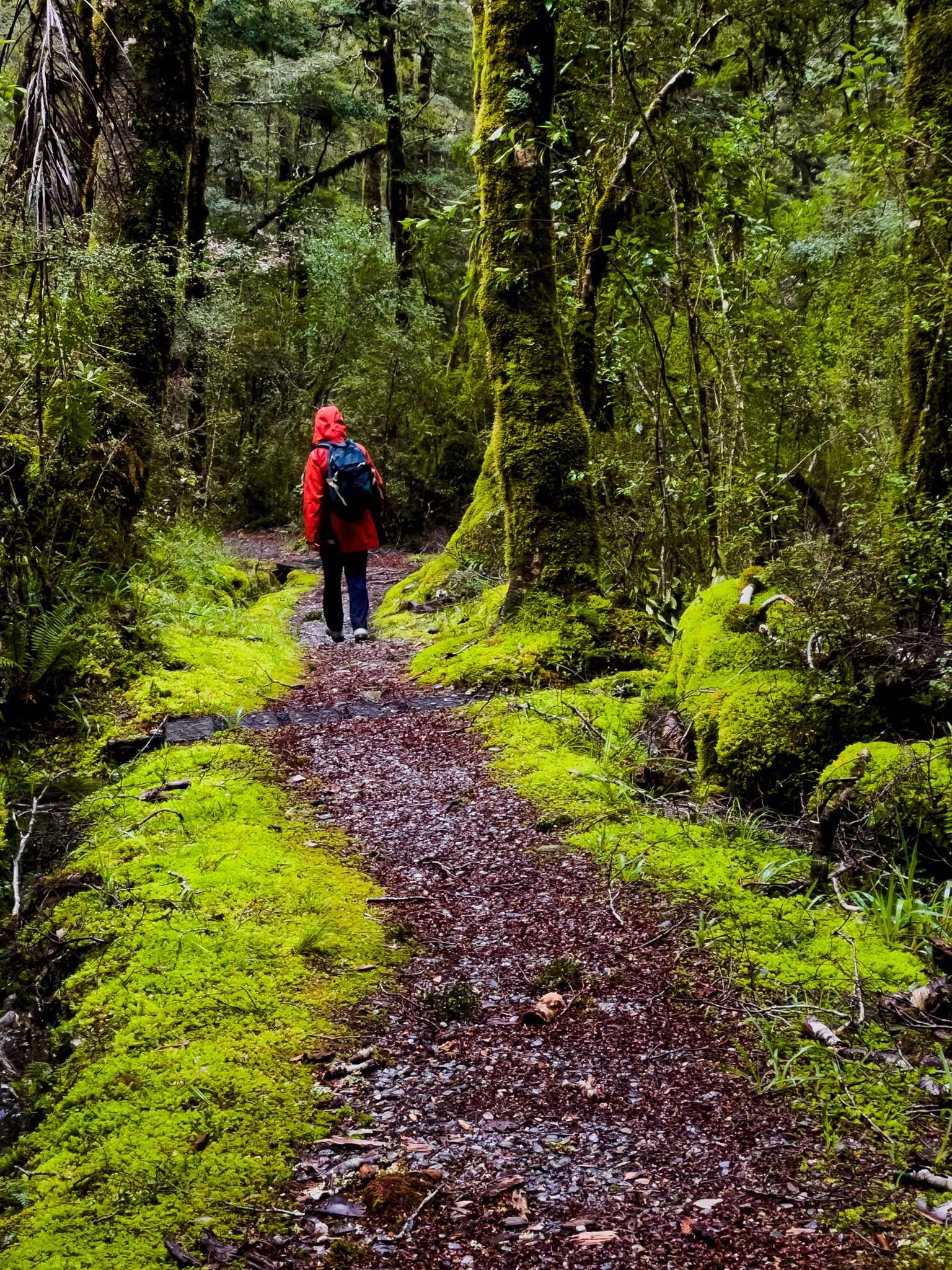
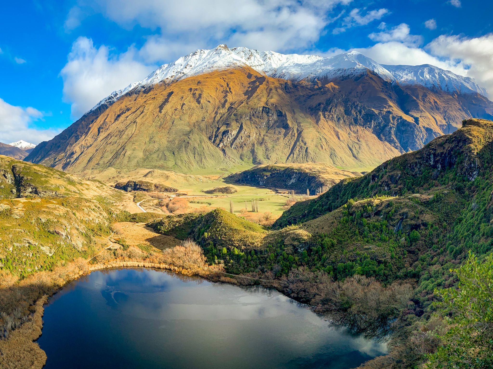
With mountains, lakes and rivers, Wānaka is an outdoor dream. The gem is Mt Aspiring National Park, accessible up the Matukituki on Mt Aspiring Road or State Highway 6 to Lake Hāwea, Makarora and Haast Pass. At the end of Mt Aspiring Road is the Rob Roy Glacier Track, one of the best day walks in the country.
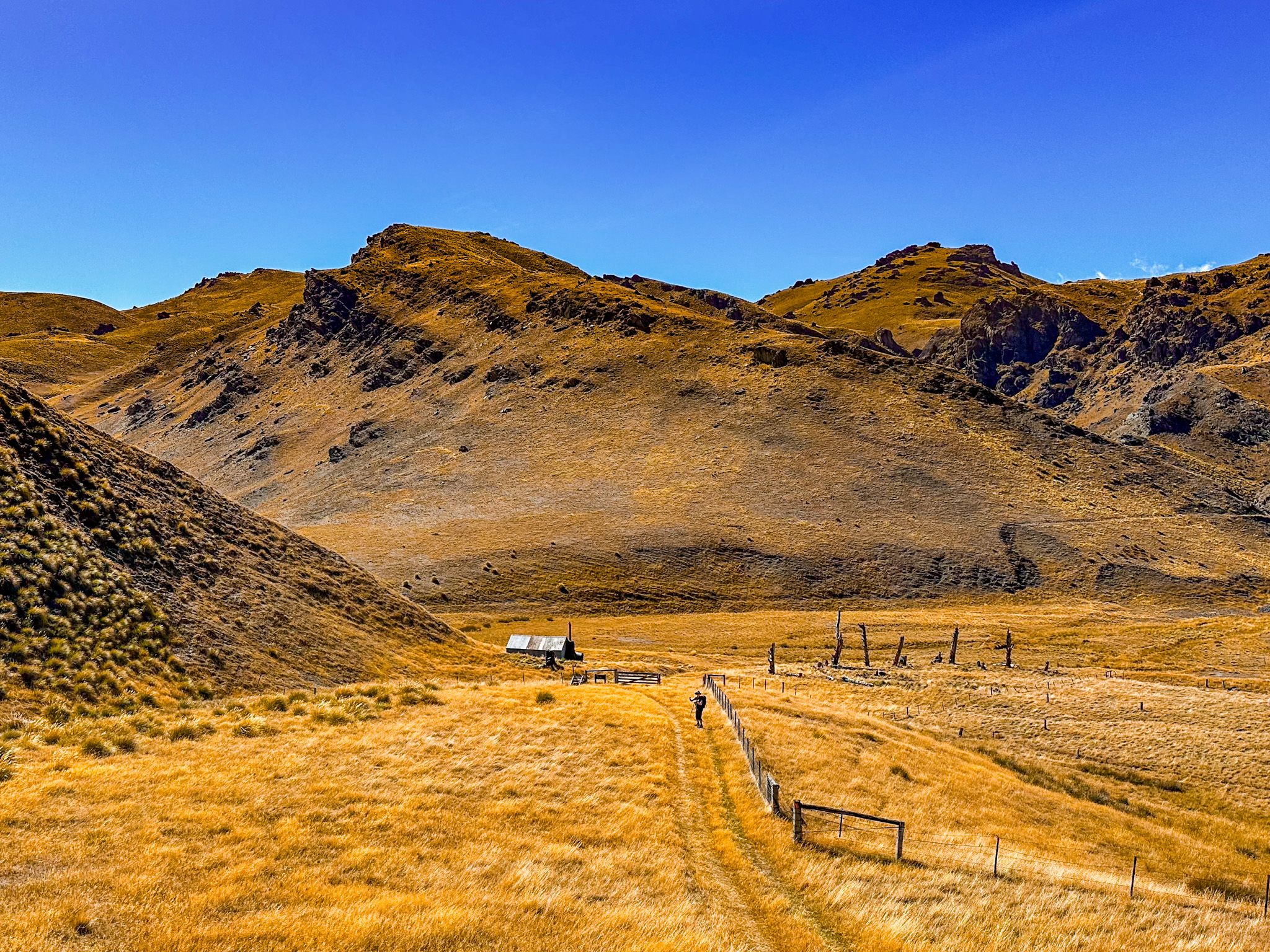
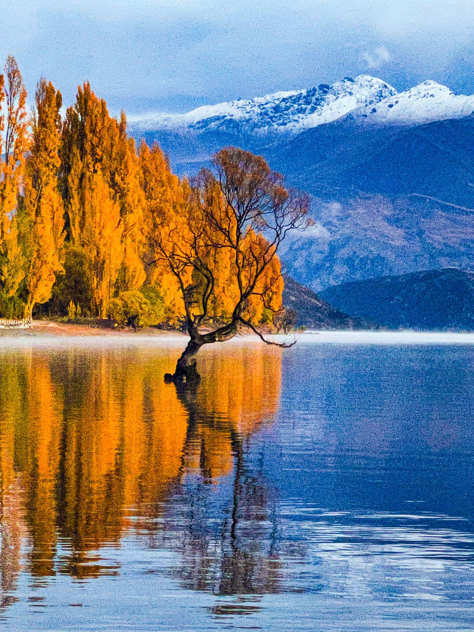
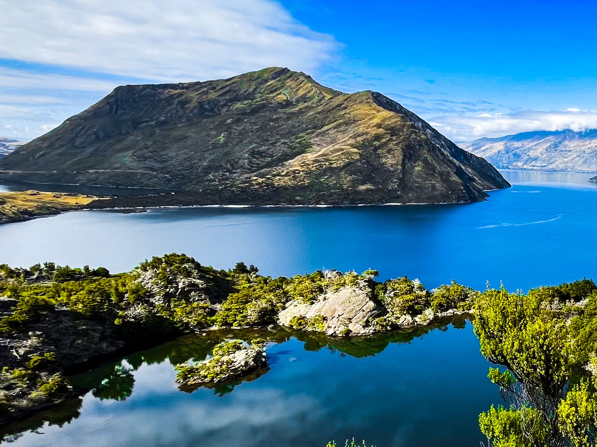
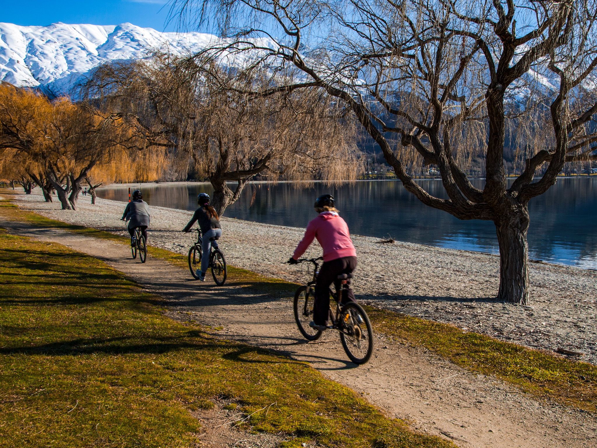
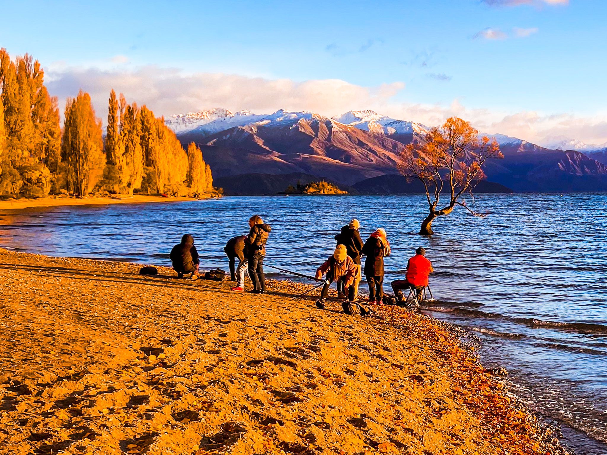
But there are numerous other options. Highlights include the Roys Peak Track and Isthmus Peak Track, Diamond Lake and Rocky Mountain, Mou Waho on the lake, Glendhue Bay reflections, and Mount Iron in the town. In addition, Te Araroa comes around the south end of Lake Hāwea from Breast Hill, down the Hāwea River Track to the Outlet Track. It then goes along the edge of the lake by the town, past the famous Wanaka Tree and follows the Glendhue Bay Track before linking to the Motutapu Track to Arrowtown. There is also boating, skiing, fishing and hunting.
There was a Māori presence before Europeans, and the name Wānaka is a southern derivation of wānanga, meaning sacred knowledge or a place of learning. From around the 1400s, there was a Kāti Māmoe settlement at the south end of the lake. Ngāi Tahu subsequently absorbed them, and the area was a seasonal settlement and waypoint on the pounamu route connecting Otago to the West Coast via Hasst Pass. Transit to Wānaka along the Clutha was often in reed boats called mōkihi.
Ngāi Tahu's use of Wānaka ended during the Musket Wars. In 1836, a northern Ngāti Tama chief, Te Pūoho, marched down the West Coast and over Haast Pass with 100 warriors. They attacked Ngāi Tahu near Wānaka, capturing ten people and cannibalising two children. They continued over the Crown Range to Southland. Their massive tramp ended when a force led by southern Ngāi Tahu leader Tūhawaiki destroyed them in 1837. This was probably one of the last substantial conflicts of the Musket Wars.
Nathanael Chalmers was the first European in the area in 1853. A sheep station quickly followed in Albert Town, and gold was discovered in the Cardrona Valley in 1862. Wānaka (initially named Pembroke) was surveyed in 1863, and the first hotel, hence tourists, was in 1867, along with the world's first sheepdog trials!
Wānaka has long been a popular local destination, but it became better known in the 1980s. Skiing added a Winter activity with the development of Treble Cone (1968) and Cardrona ski fields (1980). Other year-round activities, such as Puzzling World and the Transport and Toy Museum, add interest. Major events include Rhythm and Vines, the A&P Show and Warbirds over Wanaka (every two years).