Exploring Tūranganui-a-Kiwa Poverty Bay
Tūranganui-a-Kiwa Poverty Bay, located on the East Cape of the North Island, is a region rich in history and agriculture. Spanning 10 km from Young Nick's Head (Te Kuri) to Tuaheni Point, the bay is backed by fertile farmland, including a grape and winemaking industry, alongside a variety of fruits and vegetables. Gisborne, situated at the northern end of the bay, serves as a gateway to this agriculturally abundant area.
A Scenic Beach and Coastal Drive
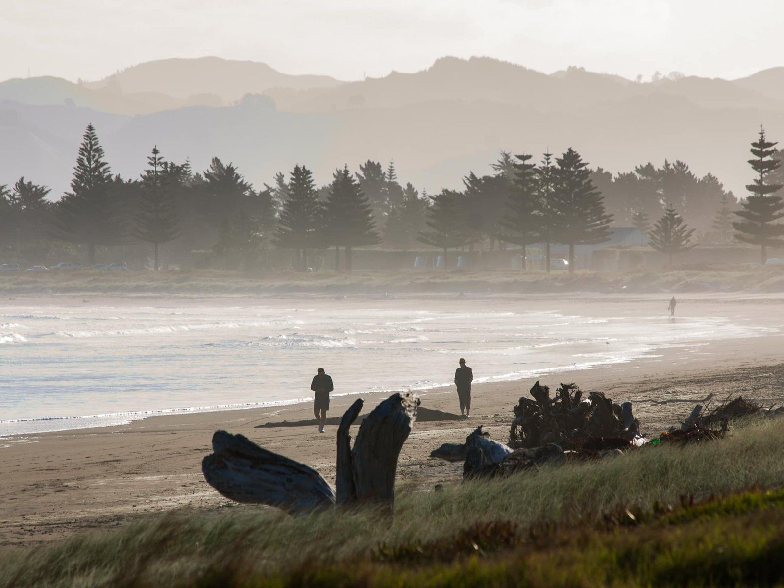
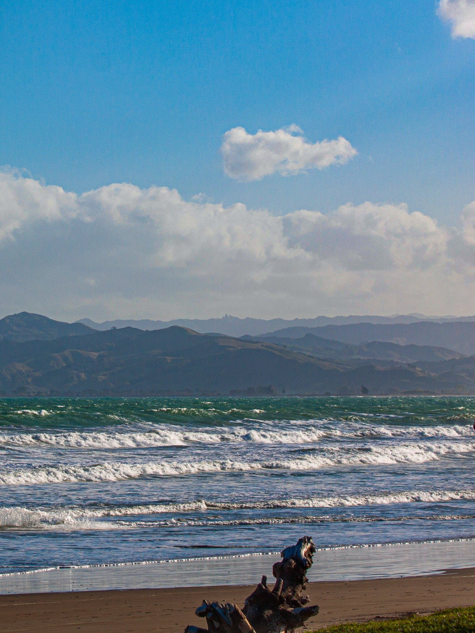
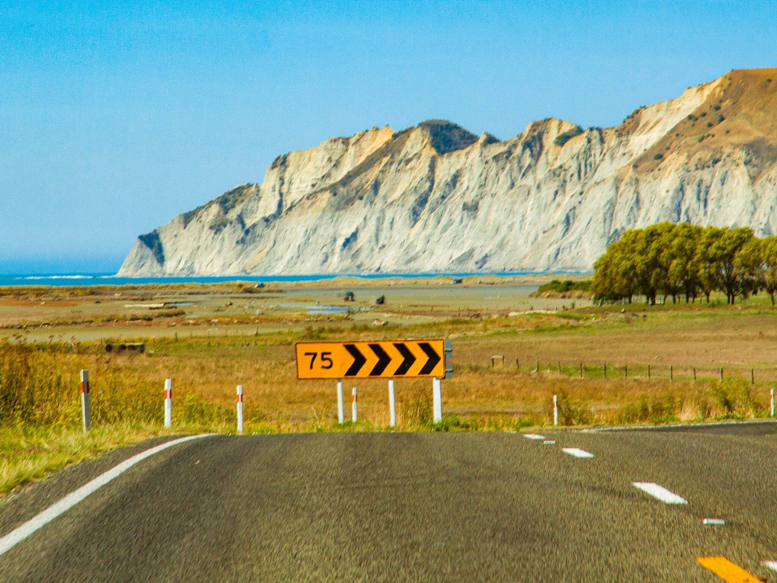
The bay features a striking crescent-shaped sandy surf beach. At the northern end, near Gisborne, the beach is sheltered by a breakwater at the Tūranganui River mouth, which also hosts a small port. Centennial Marine Drive runs along much of the beach, extending to the Waipaoa River mouth in the south, providing easy access to the coastline.
Māori Heritage and Early European Encounters
Ngāti Pouru tradition recounts the arrival of three significant ocean-going waka to the region: Te Ikaroa-a-Rauru, Horouta, and Tākitimu. The bay's Māori name, Tūranganui-a-Kiwa, honours Kiwa, the navigator aboard Horouta. The official dual naming of the bay in 2019 acknowledges this heritage. Evidence of pā from the late 1300s is indicative of early Māori settlement, and by the time Captain James Cook arrived in 1769, the area was well-populated by Māori.
Young Nick's Head / Te Kurī is the southern point of the bay and was sighted by Cook's cabin boy Nicholas Young in October 1769. Cook came ashore on the eastern bank of the Tūranganui River, on the north side of the bay, with a party of men. This first landing in New Zealand went badly and resulted in the death and wounding of nine Māori over four days. There is a monument to Cook's landing at the river mouth, and in 2019, a sculpture honouring Te Maro, who was killed during the initial encounter with Cook, was added to the site.
The events in the bay contrasted with subsequent peaceful interactions at Tolaga Bay and Anaura Bay to the north. Unable to restock supplies and refit in the bay due to the conflict, Cook named it Poverty Bay.
19th Century Conflict and Development
Subsequent interactions between Māori and Europeans in the bay were more successful. In the 1830s, whaling stations operated in the bay with Māori support, fostering trade, despite the area being affected by Ngāpui invasion during the Musket Wars. In 1840, CMS missionary William Williams arrived, leading to many Māori converting to Christianity. That same year, 24 chiefs from around the bay signed the Treaty of Waitangi. Europeans continued to arrive, and the town of Tūranga was founded in 1852 by G. E. Read.
The 1860s saw the NZ Wars spill over from the Waikato, with the Pai Mārire (Hauhau) movement causing internal conflict within Ngāti Porou iwi. A significant incident occurred in 1868 when Te Kooti and his followers, having escaped captivity, attacked Matawhero near Tūranga, resulting in the deaths of 54 people. Te Kooti evaded capture for another 15 years before being pardoned in 1883.
In 1868, the government purchased 300 hectares to expand the town of Tūranga and in 1870, Tūranga was renamed Gisborne to avoid confusion with Tauranga in the Bay of Plenty. The town then expanded rapidly as farming developed in the hinterland. More recently, local wineries have become a feature of the bay.
From the 1890s, Ngāti Porou leader Āpirana Ngata emerged as a key figure, revitalising Māori commercial and cultural activities. Ngata also played a significant role in the formation of the Māori Battalion, which helped restore Māori mana in the 20th century.
How to Get There
Gisborne is the central hub for exploring Tūranganui-a-Kiwa Poverty Bay and the wider East Cape. You can reach Gisborne via State Highway 2, which connects to Whakatāne in the Bay of Plenty, around 160 minutes and 186 km to the northwest, and Napier, around 3 hours and 215 km to the south. Alternatively, State Highway 35 is a scenic route north around East Cape.