Discovering Whakatāne
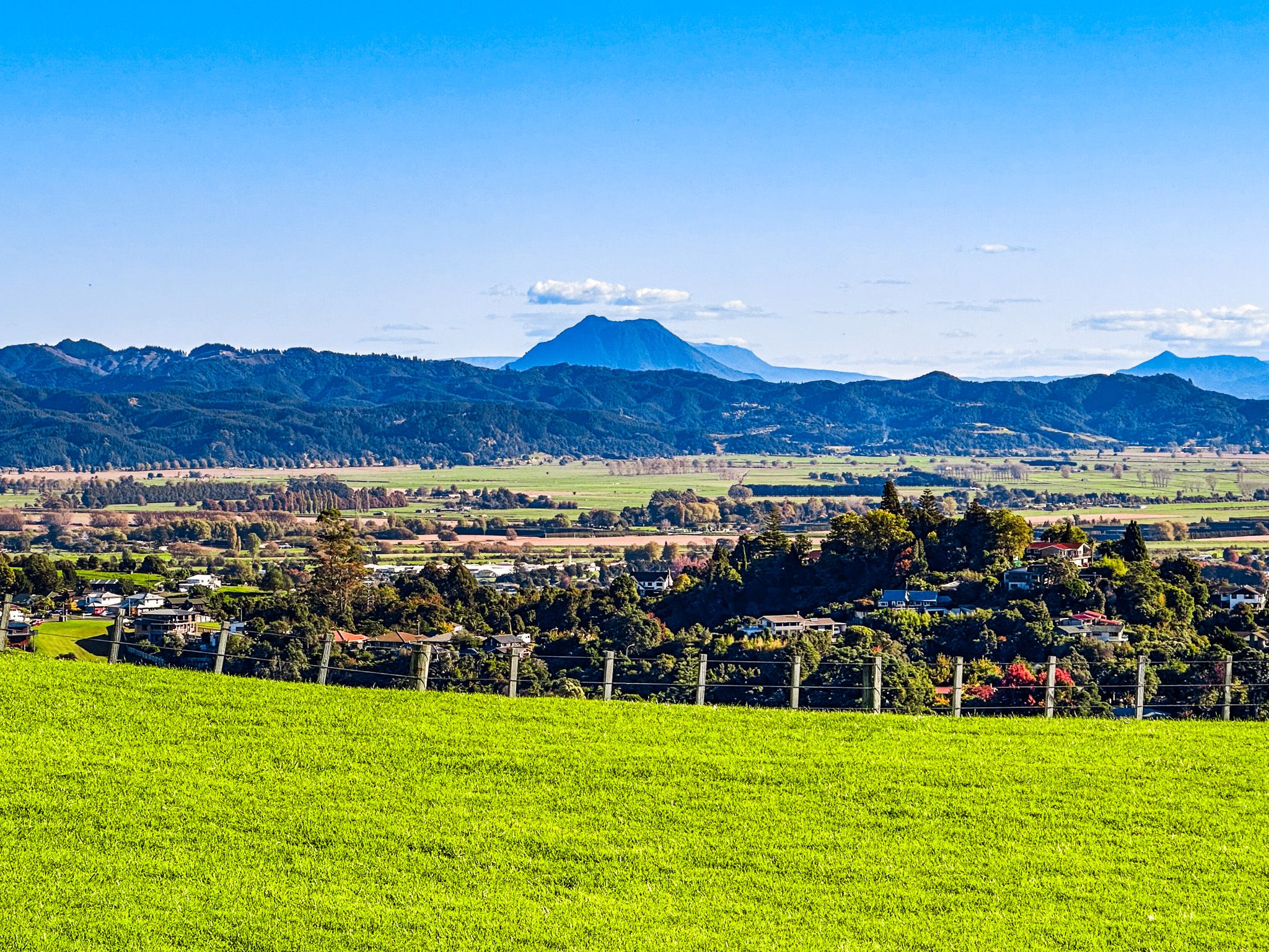
Whakatāne is a coastal town at the mouth of the Whakatāne River in the eastern Bay of Plenty. Positioned between a deep river curve and Kohi Point, the town serves as a regional service centre and popular summer destination. Its primary appeal lies in accessible beaches, significant Māori heritage sites, and its role as a gateway to the remote East Cape region.
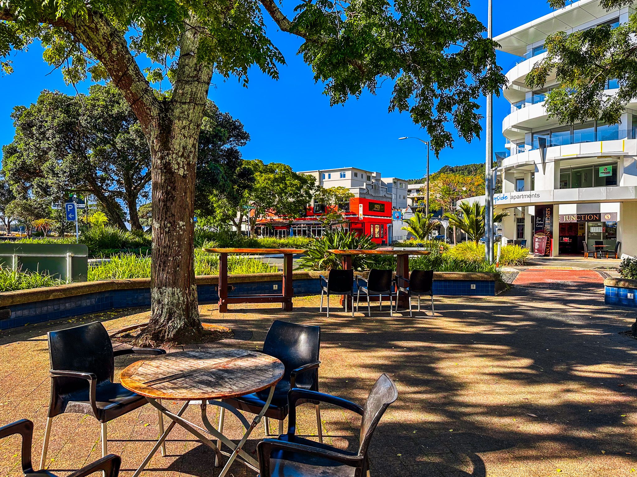
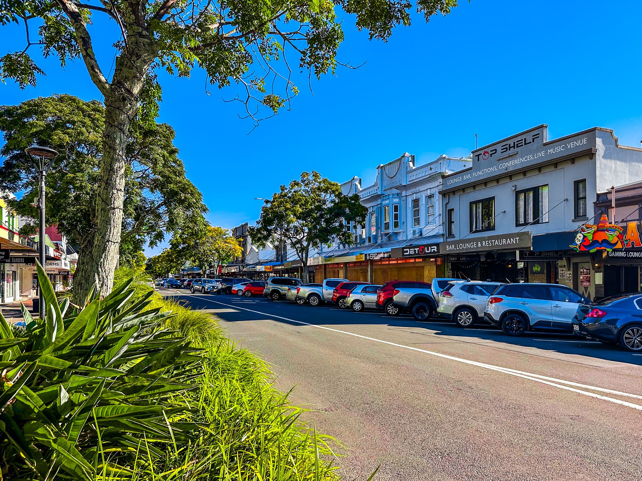
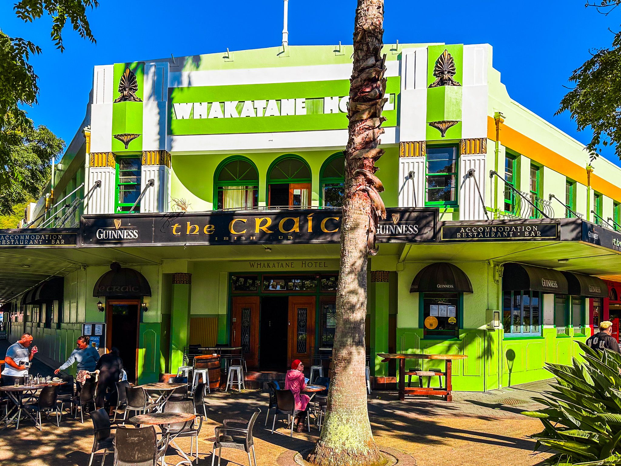
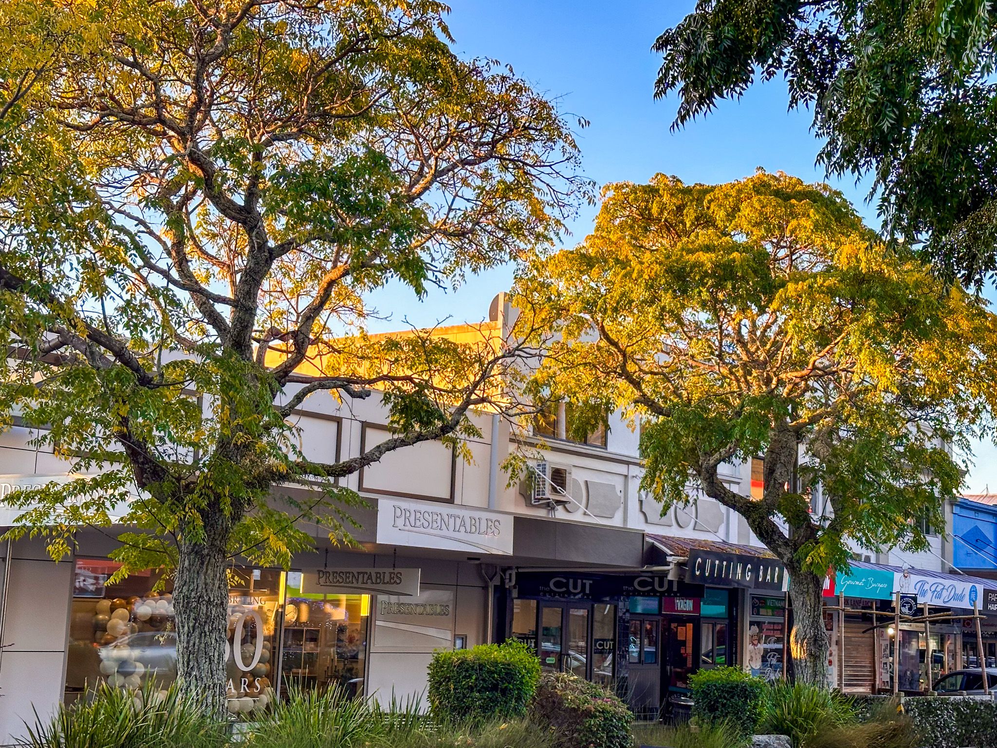
Exploring the Town and Waterfront
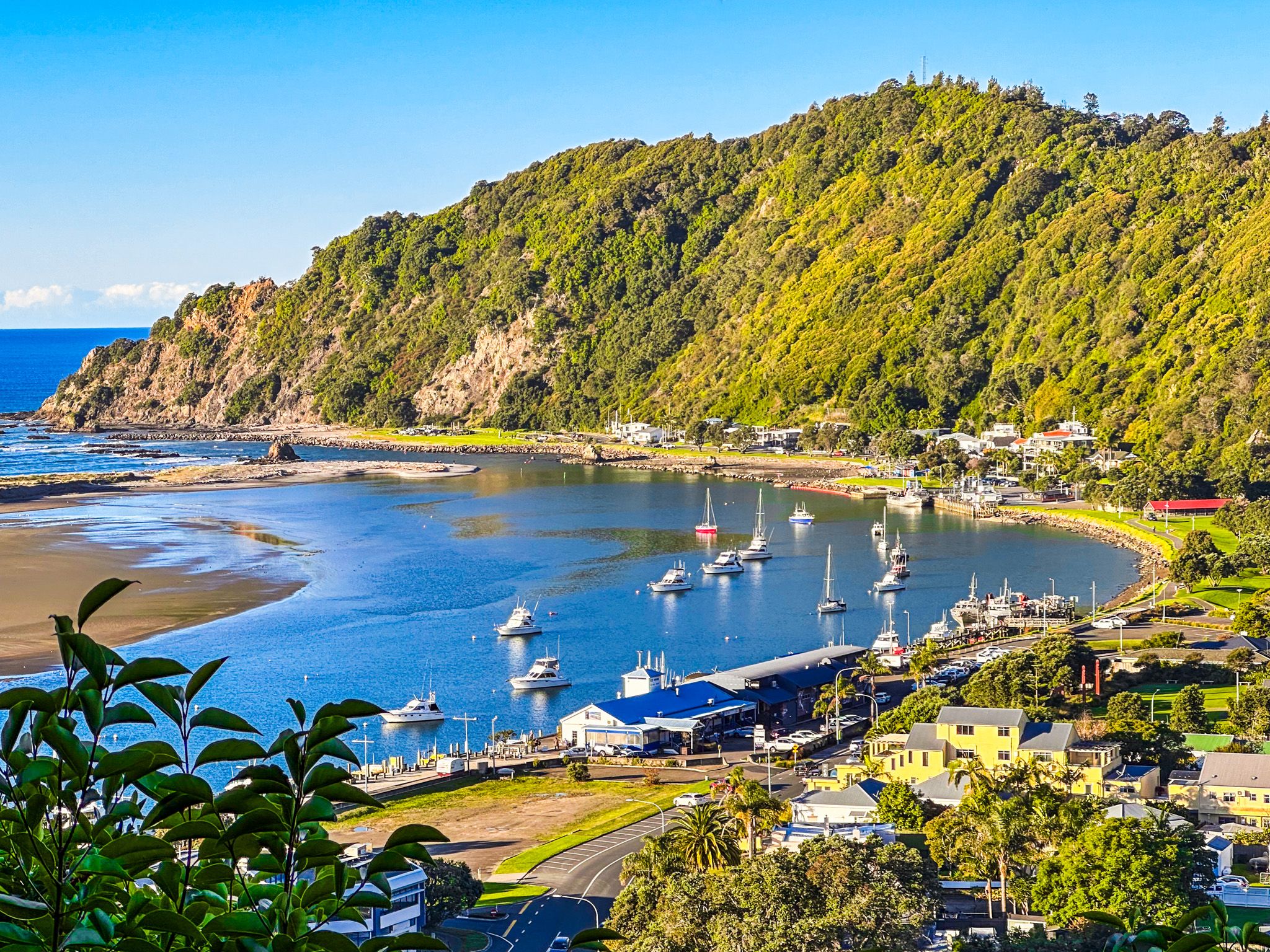
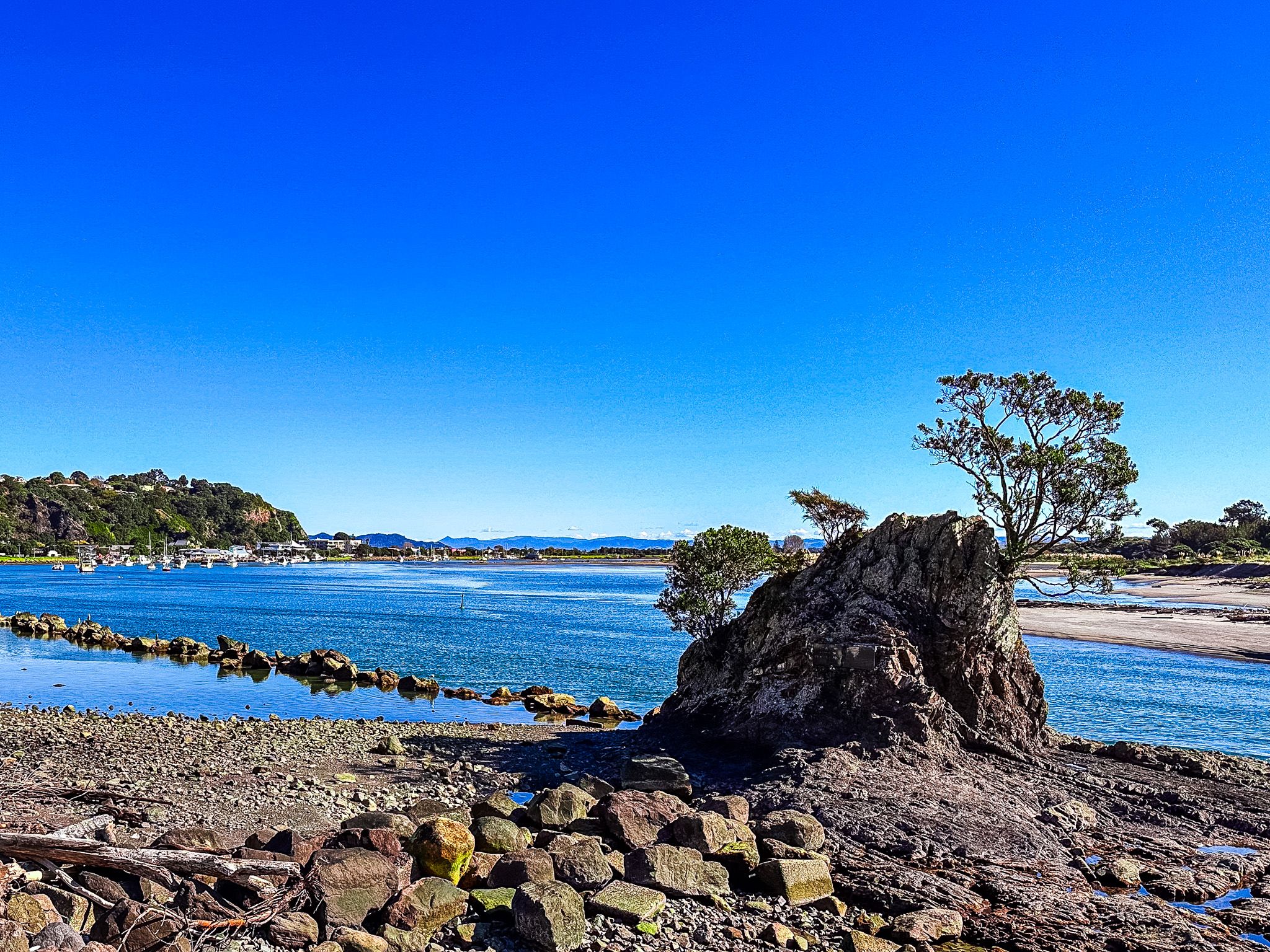
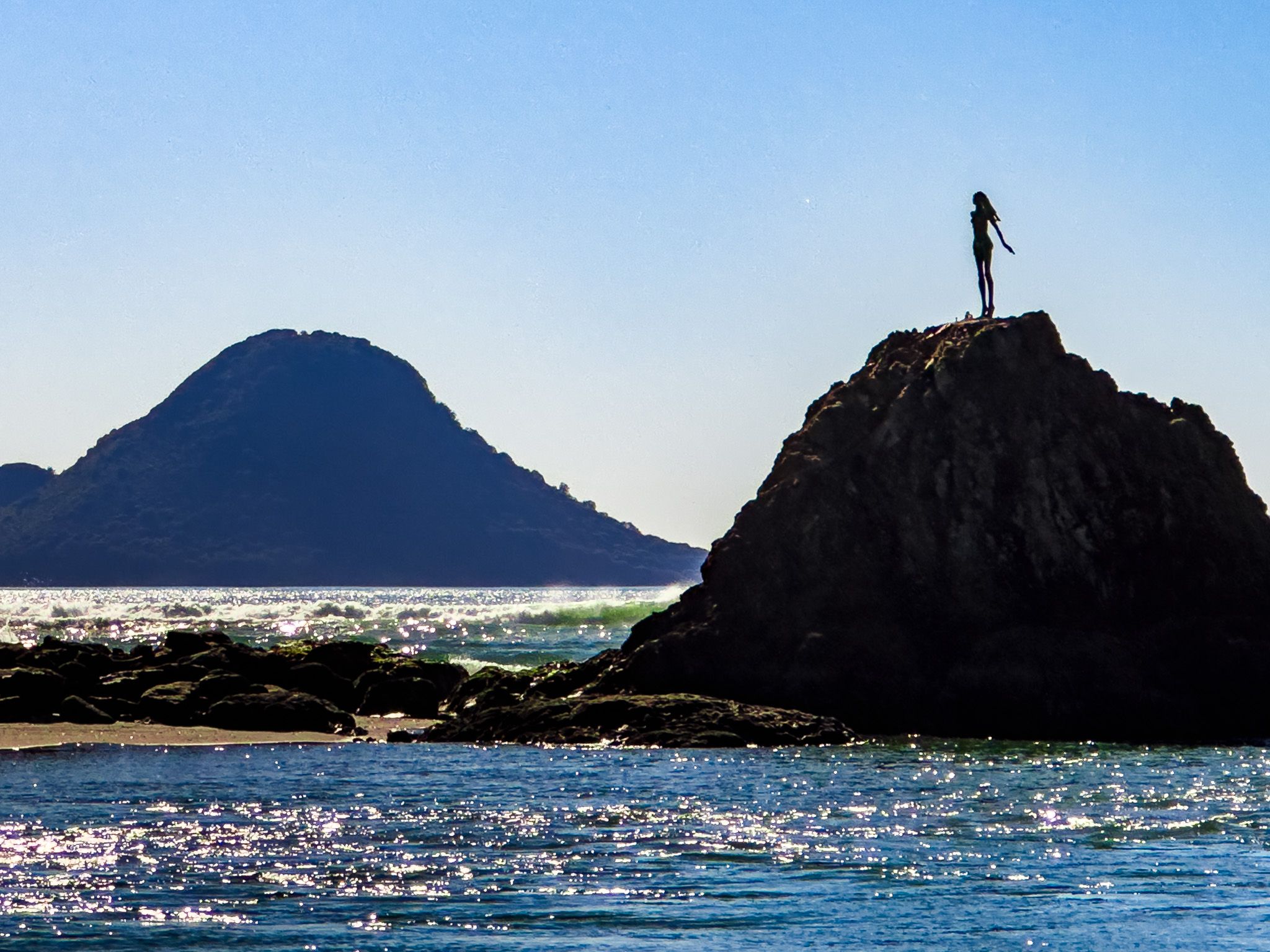
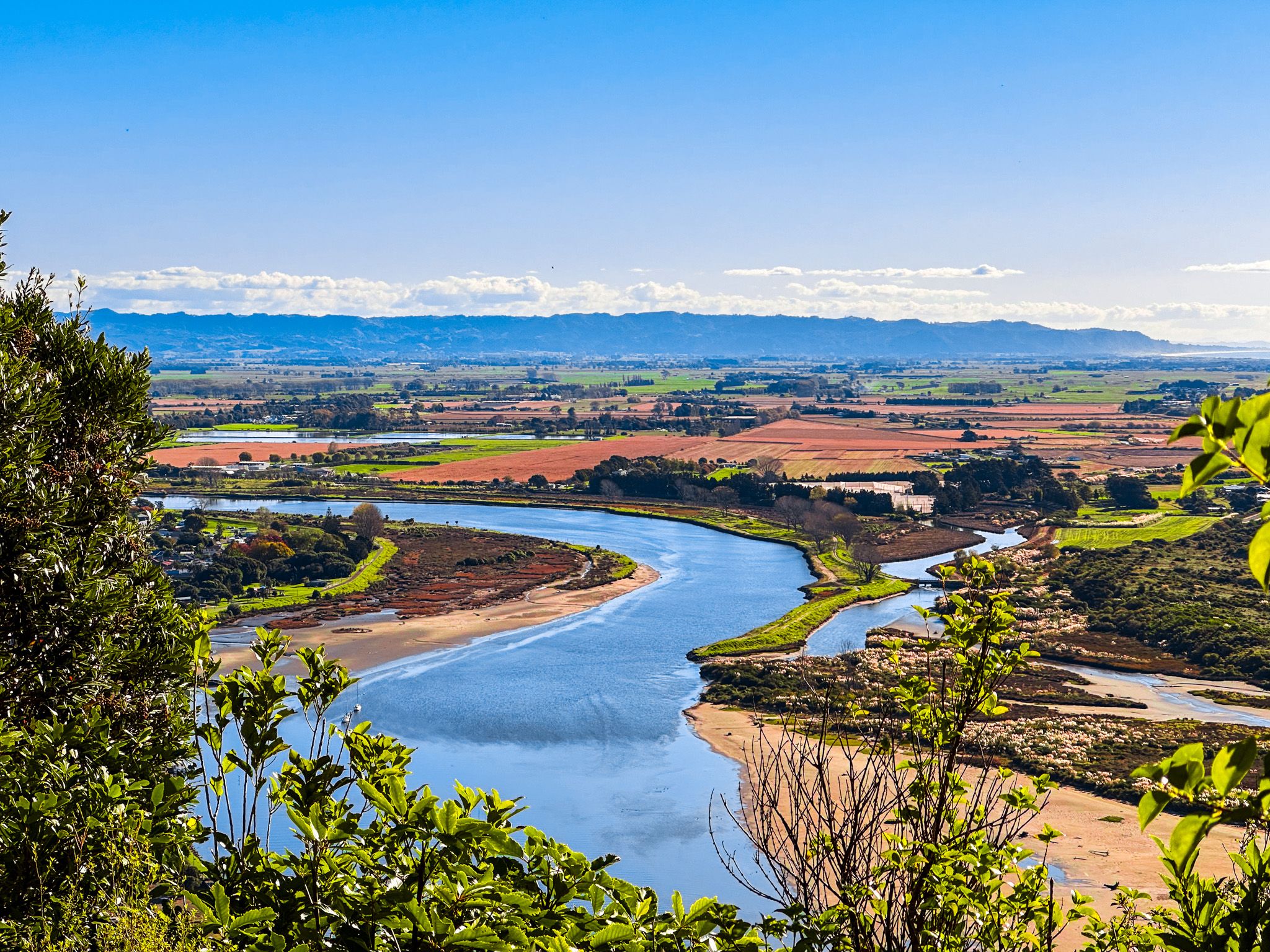
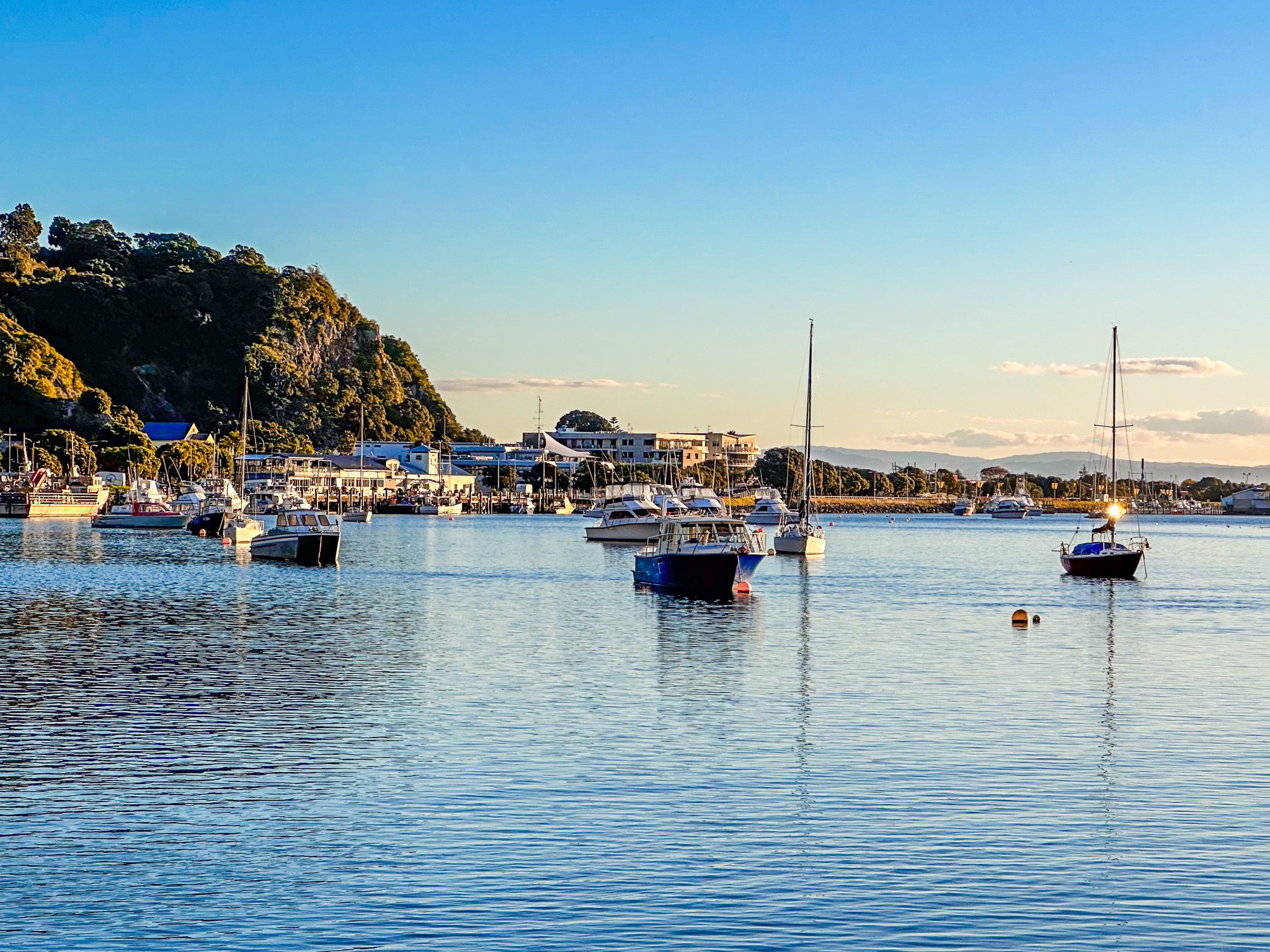
The Whakatāne River mouth forms a working harbour with boat access to the Bay of Plenty. The west side of the harbour mouth is marked by the statue of Wairaka, a heroic bronze figure commemorating the woman who saved the Mataatua waka.
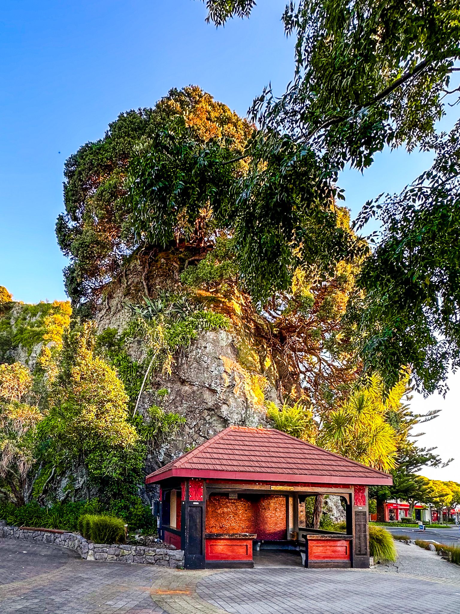
You can walk or cycle along the river edge from the southwest side of the town to Te Hau Tutua Park near the end of the point, and opposite Wairaraka. Then head back into the town centre to Pohaturoa Rock, a prominent volcanic outcrop with historical significance to local iwi.
Beaches and Coastal Walks
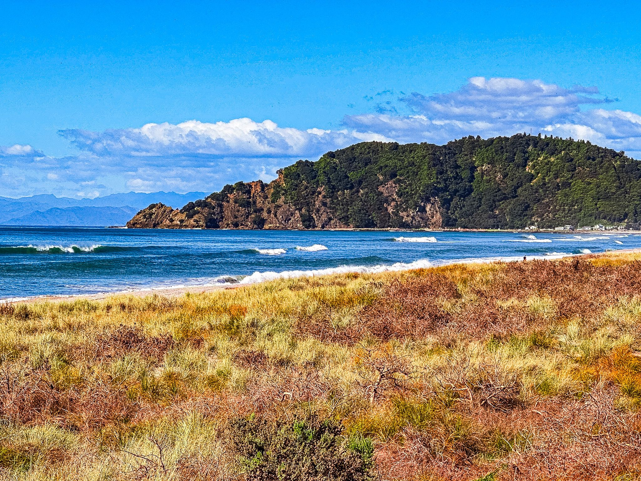
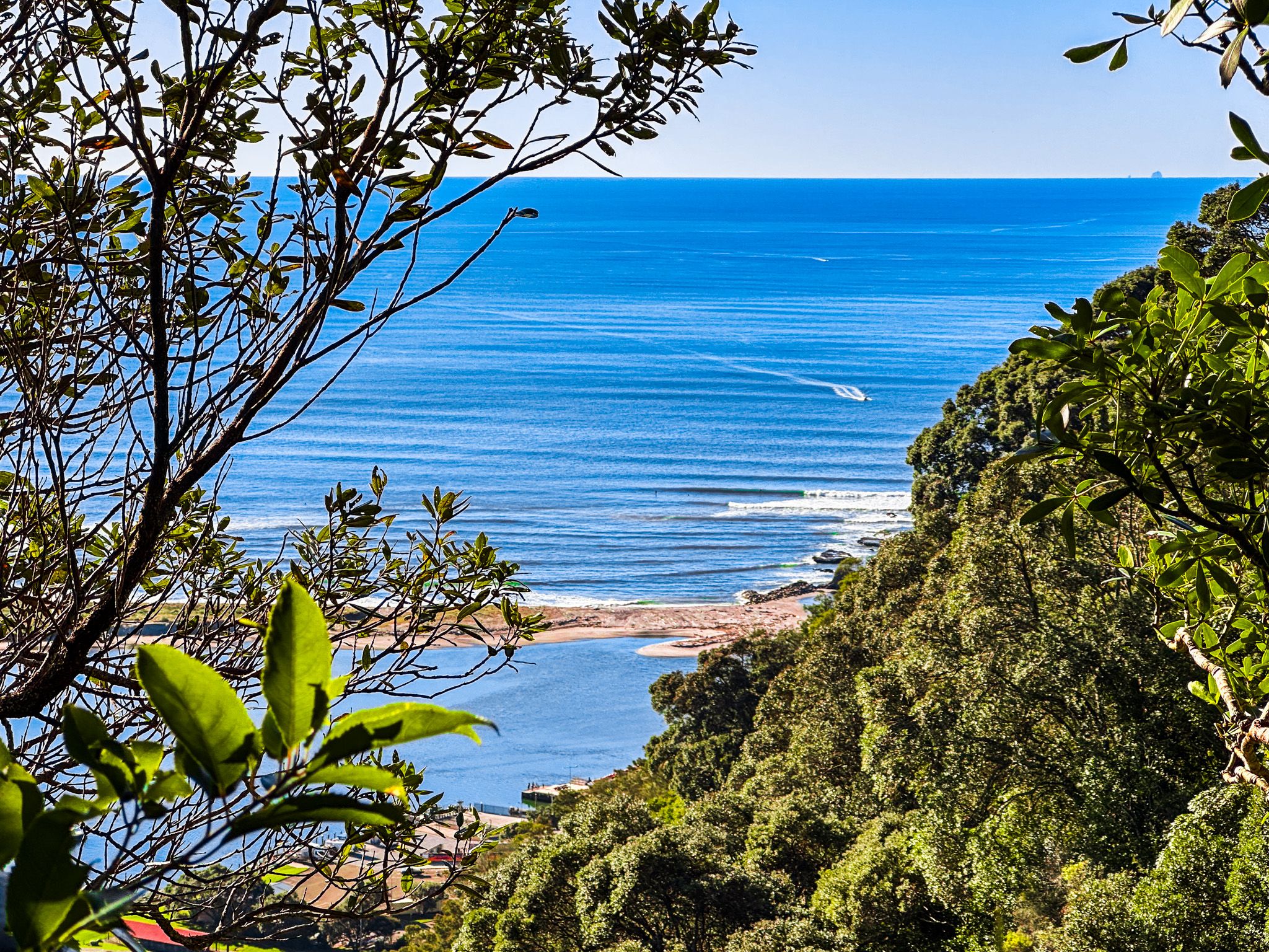
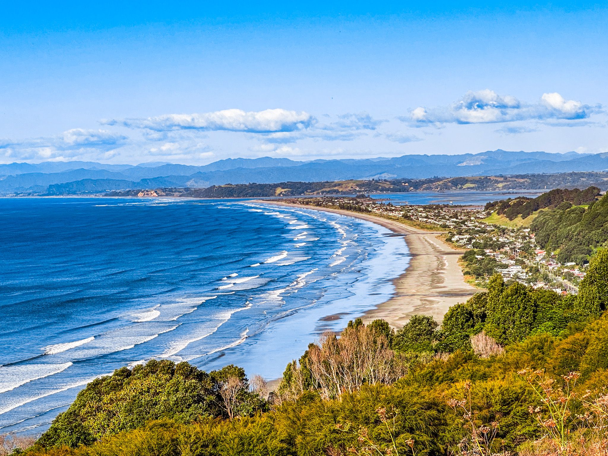
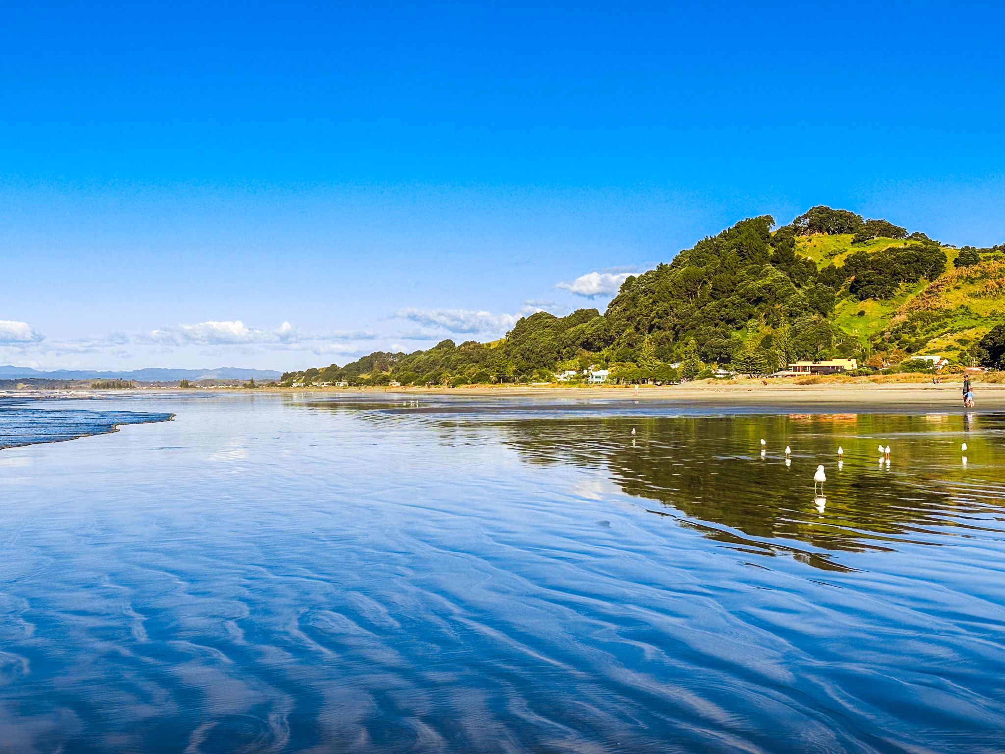
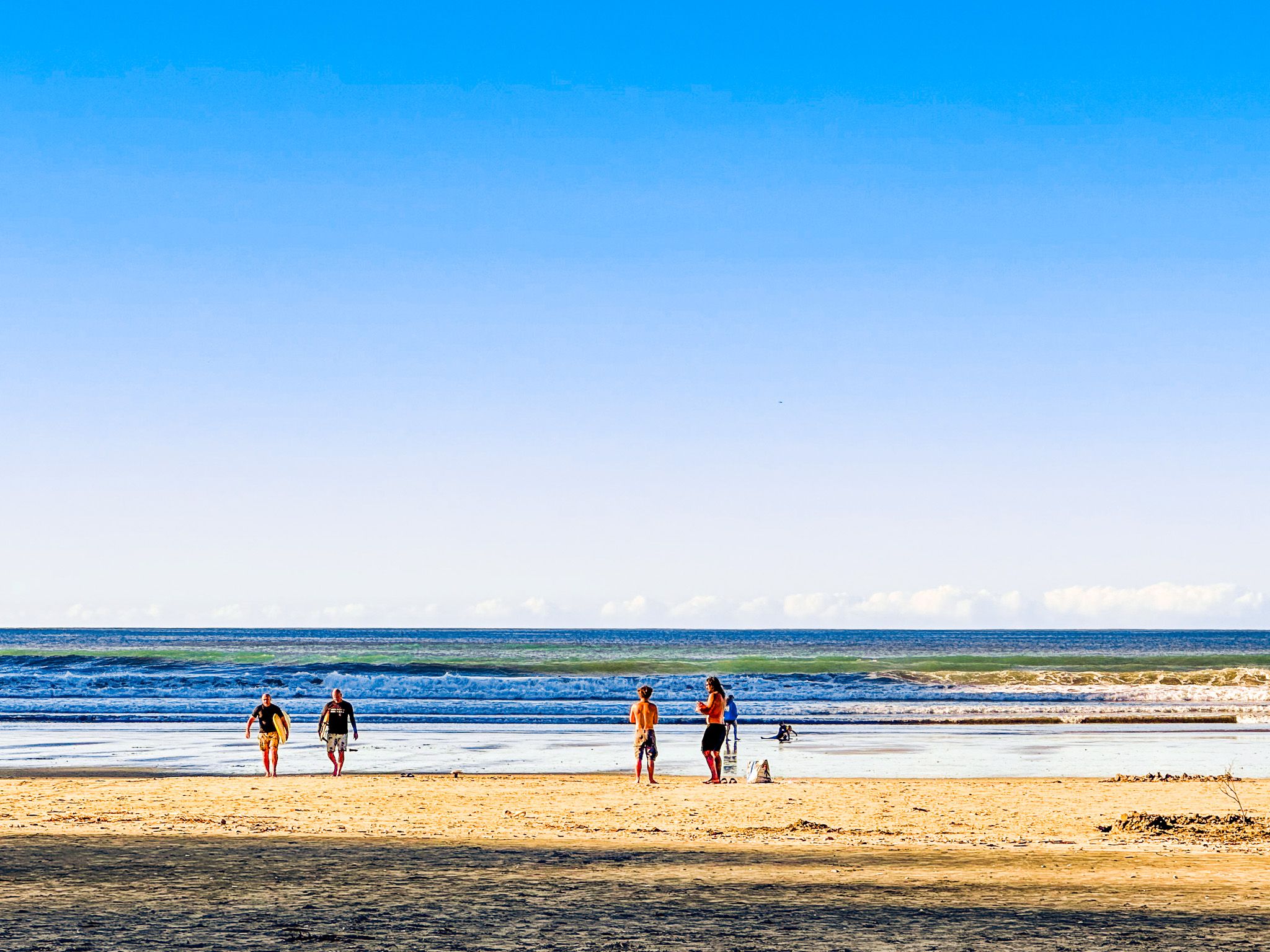
West of the river mouth, a long surf beach extends from Coastlands, suitable for swimming and surfing when conditions allow. East of Kohi Point lies Ōhope Beach, consistently rated among New Zealand's finest.
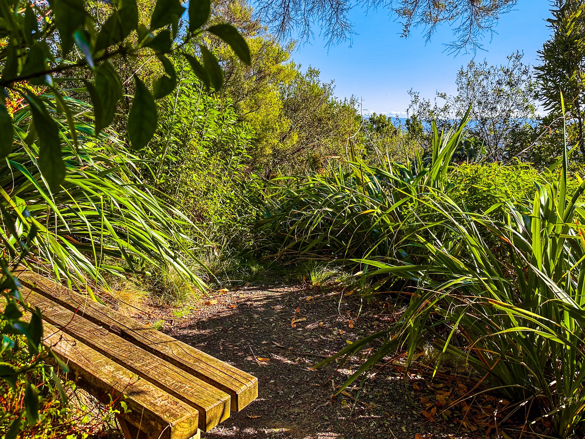
The two settlements are connected by Ngā Tapuwai o Toi, a loop track that traverses Kohi Point with elevated views across the bay. The track passes numerous sites of cultural significance, with interpretation panels explaining their connection to early Māori settlement.
Māori Heritage and the Mataatua Waka
Whakatāne represents one of the earliest areas of Māori settlement in Aotearoa. Tīwakawaka is said to have arrived during the time of Kupe, with his people becoming the region's first inhabitants. Toi-te-Huatahi followed, reportedly landing around 1150 and establishing Kapu-te-rangi pā at the southeast end of Kohi Point. The explorer Irakewa later visited from Hawaiki, returning home to tell his son Toroa about a coastal location marked by a waterfall, cave, and distinctive rock.
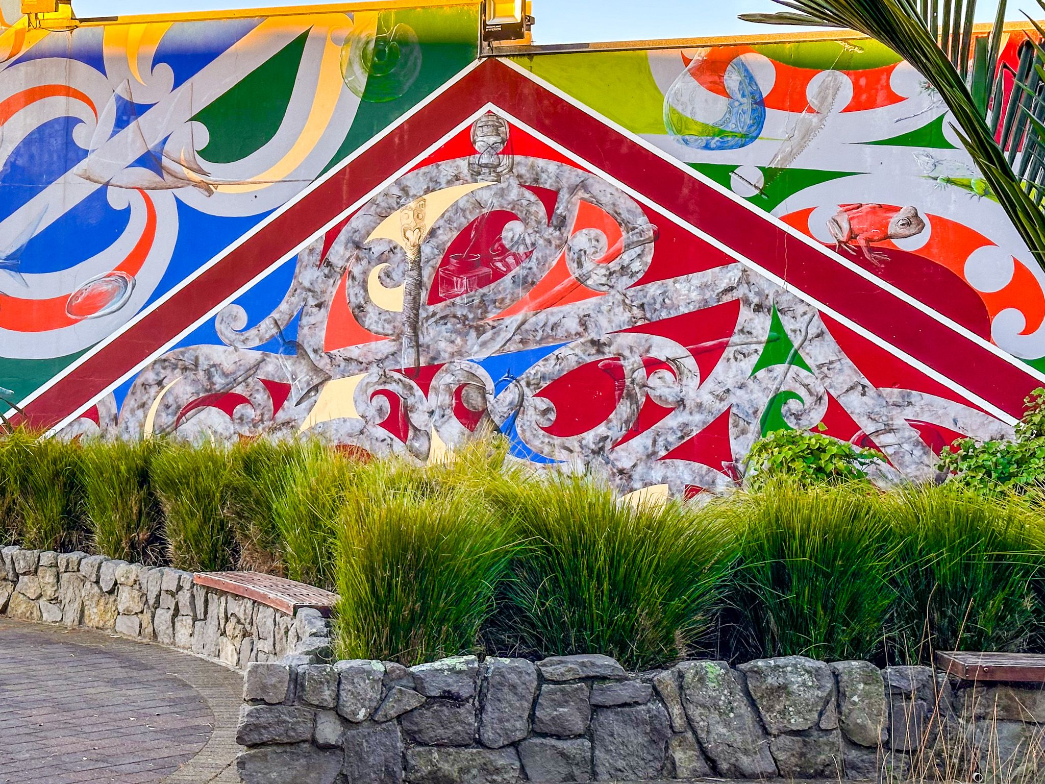
Toroa brought his family to Aotearoa aboard the ocean-going waka Mataatua, including his daughter Wairaka. When the men went ashore to explore, the waka broke anchor and began drifting with the women still aboard. Women were prohibited from paddling, but Wairaka broke this tapu, declaring "Kia Whakatāne au i ahau" (I will act like a man) and saved the vessel. This act gave the town its name. Ngāti Awa people descend from those who arrived on the Mataatua and maintained control of the region until the 1860s. Today, around 50% of Whakatāne's population claims Māori ancestry, and the town acknowledges this heritage through numerous sites, artworks, and place names.
Colonial Conflict and Land Confiscation
European contact remained limited until the 1860s, when government military campaigns in Taranaki and Waikato contributed to the rise of Pai Mārire, a religious movement led by the prophet Te Ua that added spiritual dimensions to Māori resistance. In the mid-1860s, followers murdered missionary Carl Volker in nearby Ōpōtiki. Ngāti Awa established an aukati, demanding government forces stay out of Whakatāne during the search for those responsible.
The government sent James Fulloon, who had Ngāti Awa connections, aboard the cutter Kate to establish a pro-government militia. Some iwi members sympathised with Pai Mārire, and locals killed Fulloon and two crew members, burning the schooner in Whakatāne Harbour. Ngāti Awa was subject to collective punishment through government invasion backed by Te Arawa militia, resulting in the confiscation of 99,000 hectares around Whakatāne.
Te Ua was captured by combined government and Māori forces in early 1866 and taken to Auckland. He was released and died later that year. Treaty of Waitangi grievances from these confiscations were finally settled in 2003.
In 1869, warriors following another prophet, Te Kooti, attacked the developing mixed European and Māori settlement. The small town was razed, and several people were killed before the government and Māori militia forces drove off the attackers. Te Kooti remained a threat for several years but was ultimately pardoned. At least Ngāti Awa avoided being blamed for this second incident.

How to Get There
Whakatāne is located 90 kilometres east of Tauranga via State Highway 2 and 89 kilometres northeast of Rotorua via State Highway 30. The town serves as a gateway for journeys around the remote East Cape region to Gisborne. Whirinaki Te Pua-a-Tāne Conservation Park lies within the wider Whakatāne District and can be reached via Galatea and Kopuriki Roads through Murupara. Allow a full day to explore the town's waterfront, heritage sites, and either the coastal walk or one of the beaches.