Discovering Taupiri
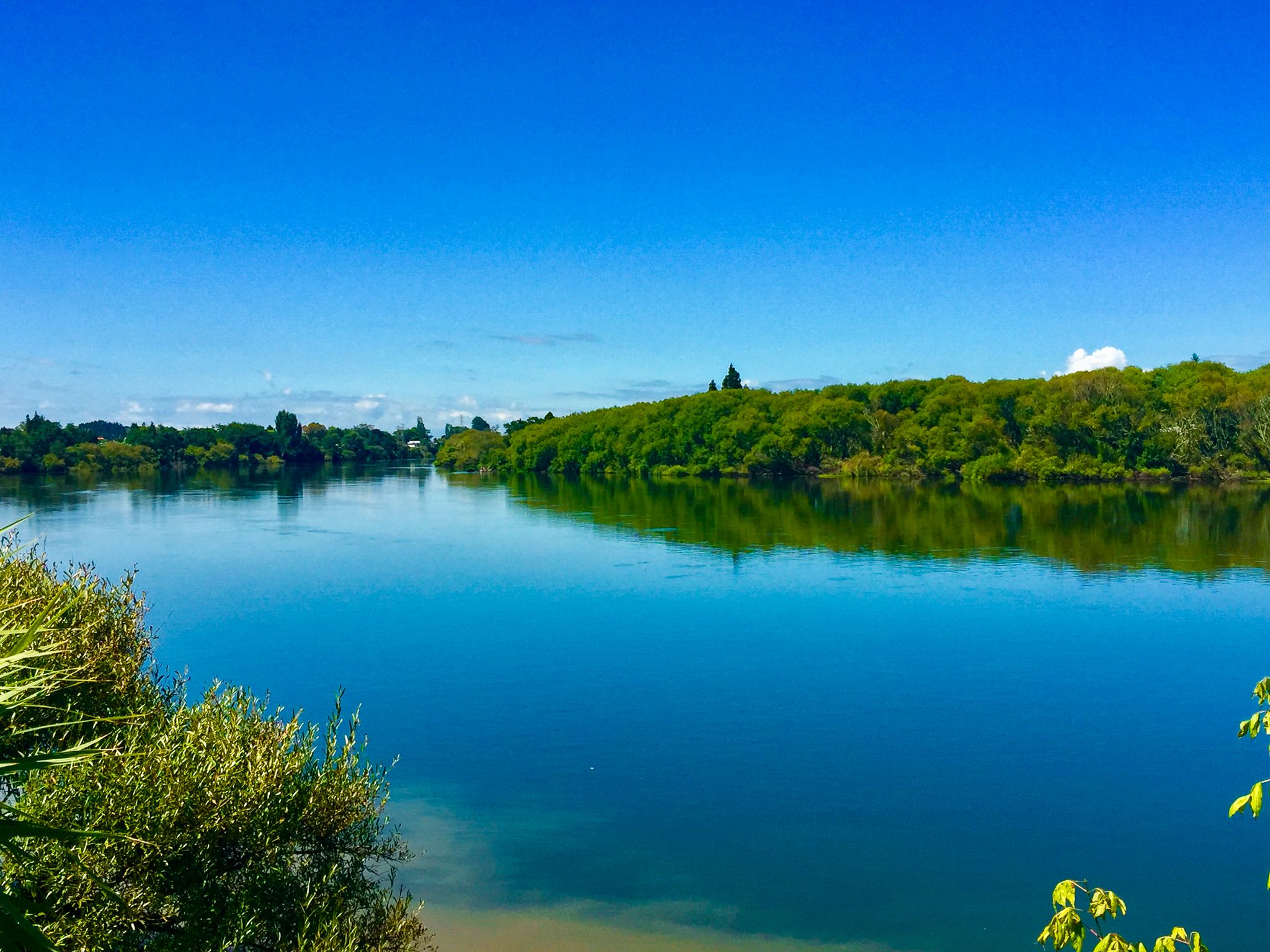
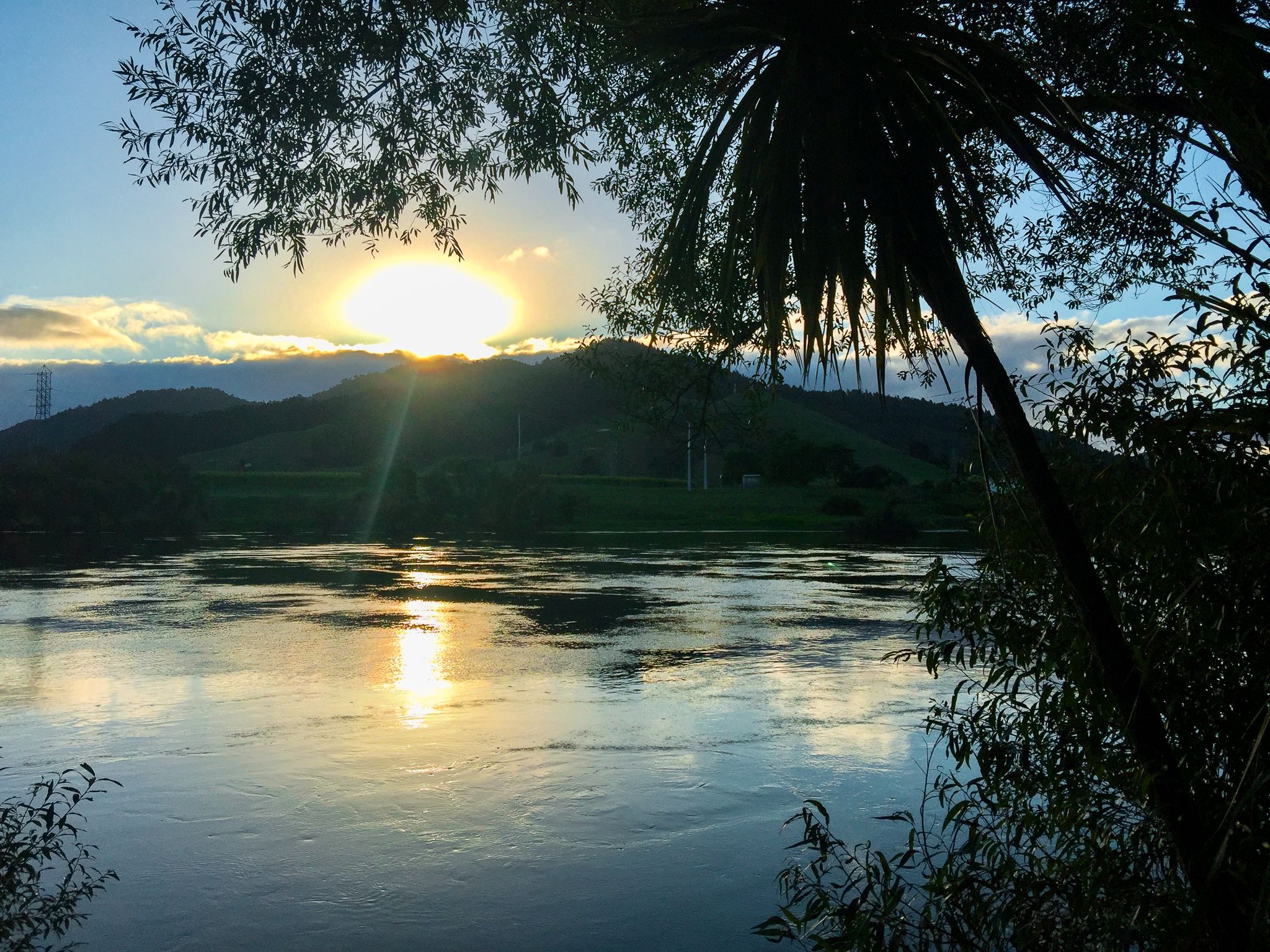
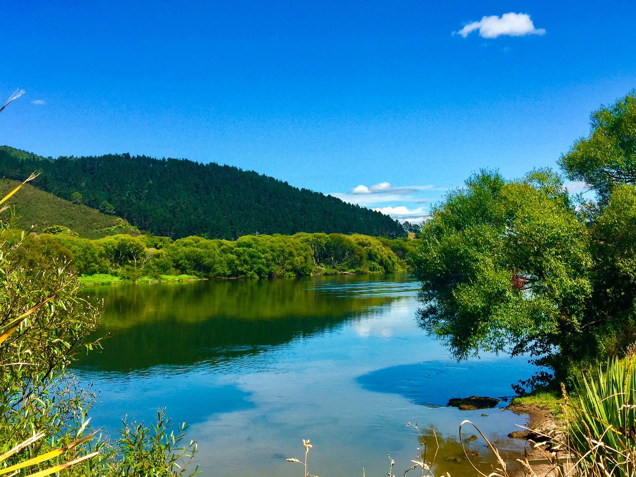
Taupiri is a small Waikato settlement nestled on the eastern bank of the Waikato River, where the Mangawara Stream joins the mighty awa. Just north of Ngāruawāhia and about a 20-minute drive from Hamilton, the township lies between the Hakarimata Range to the south and the Taupiri Range to the north, with its most striking feature being Taupiri Maunga rising immediately above the river.
Taupiri Maunga – A Sacred Landmark
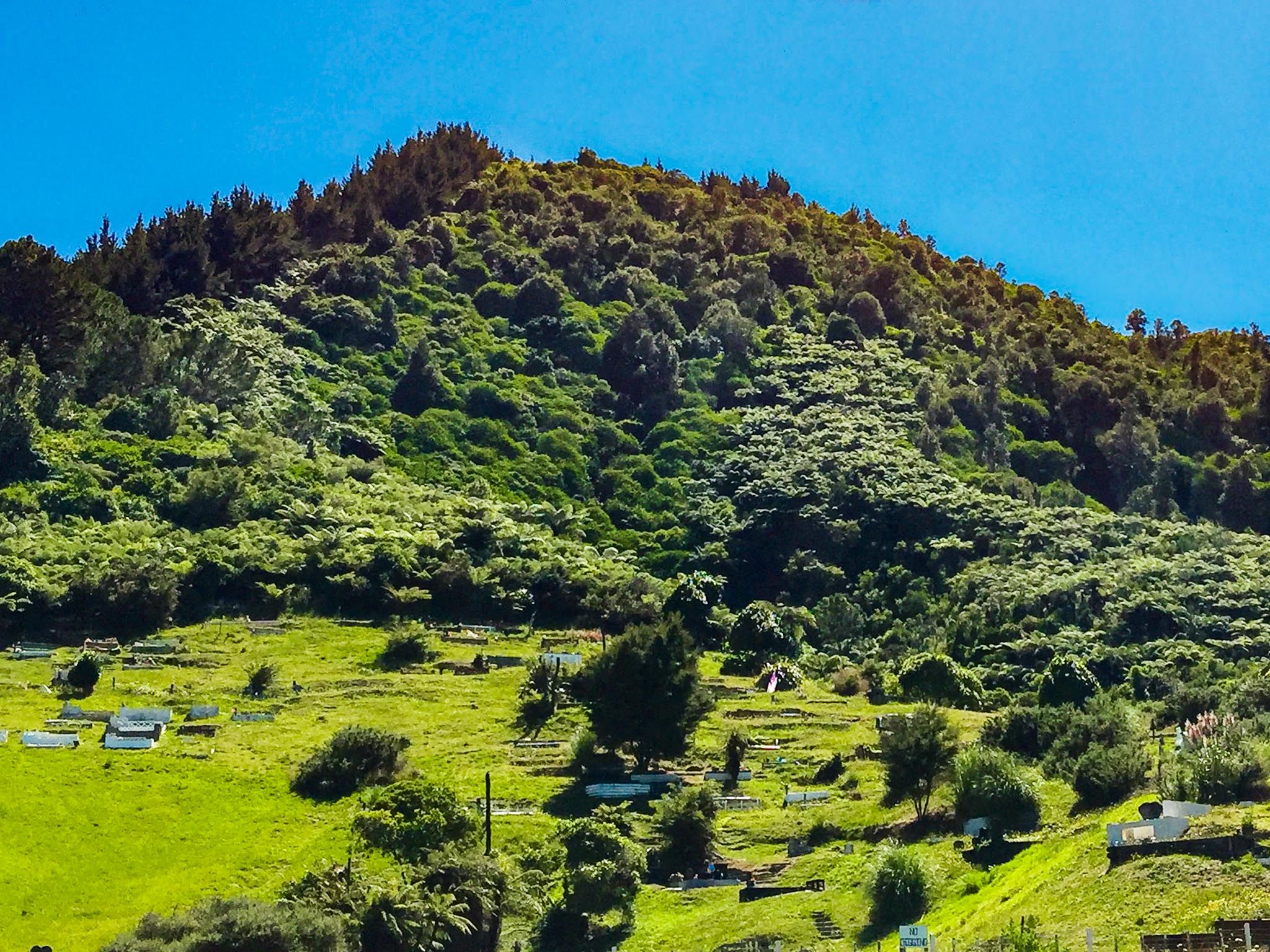
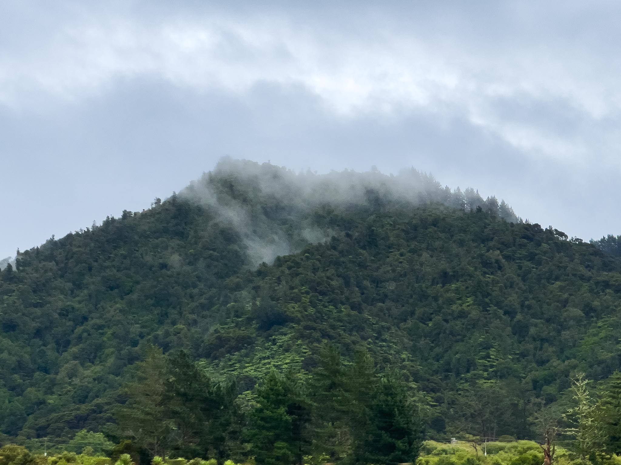
Standing at 288 metres, Taupiri Maunga is one of the most significant mountains in the Waikato. To Waikato-Tainui, it is both a revered ancestor and the resting place of the Māori Kings. The mountain’s sacredness dates back to the 17th century when the rangatira Te Putu established a pā on its slopes and was buried there after his death. From that time on, the summit and slopes became tapu, with each Māori monarch since Pōtatau Te Wherowhero laid to rest there.
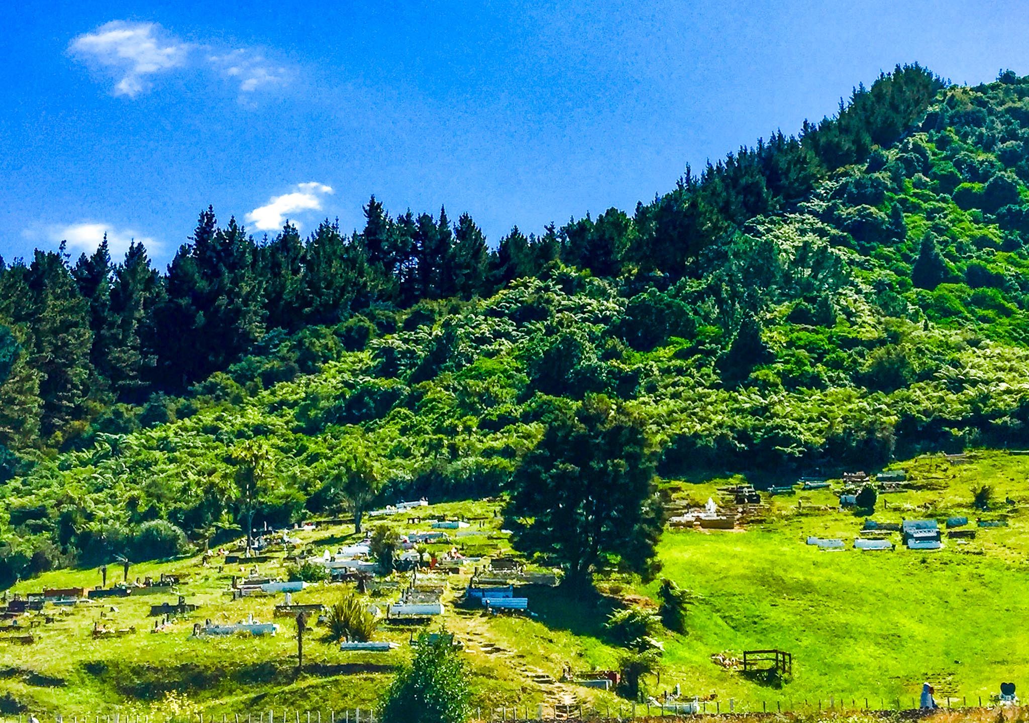
The urupā (cemetery) on the lower slopes, overlooking the Waikato River, is one of New Zealand’s most recognisable burial grounds. Its location beside the river symbolises the deep connection between people, ancestry, and the land. Visitors passing through on Great South Road (old State Highway 1 from Taupiri to Huntly) cannot help but notice the cemetery’s prominent position.
Walking to the Summit
While the burial areas themselves are not accessible, there is a steep public walking track that climbs to the trig at the summit. The route is about 2.6 km return, with an ascent of roughly 270 metres. There are panoramic views across the Waikato River, and as far as Mount Pirongia on a clear day. The track is challenging and can be slippery in wet conditions. During times of tangihanga (funerals), access may be restricted.
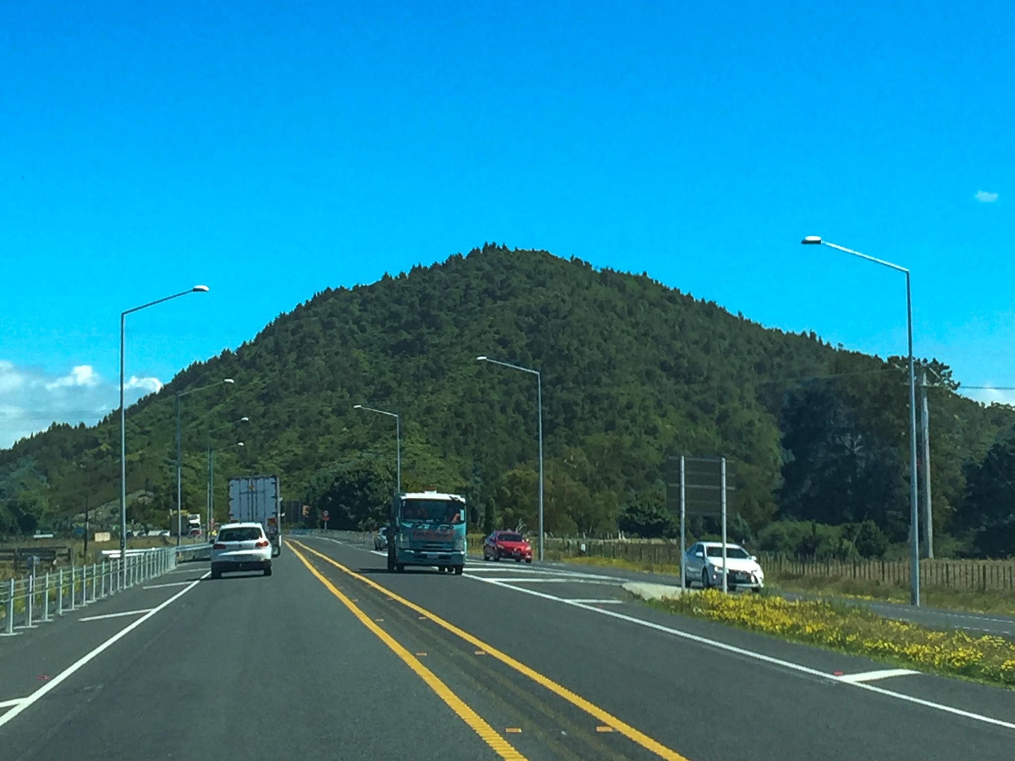
Getting There
Taupiri is about 115 km south of Auckland on the Waikato Expressway, with a signposted off ramp to Orini Road, or a 20-minute drive north from Hamilton. Great South Road connects Taupiri to Huntly and Ngāruawāhia, about a 10-minute drive close to the Waikato River in either direction. The mountain track starts near Watts Grove, accessed from Orini Road on the eastern side of the Waikato River. Parking is available near the one-lane bridge over the Mangawara Stream.