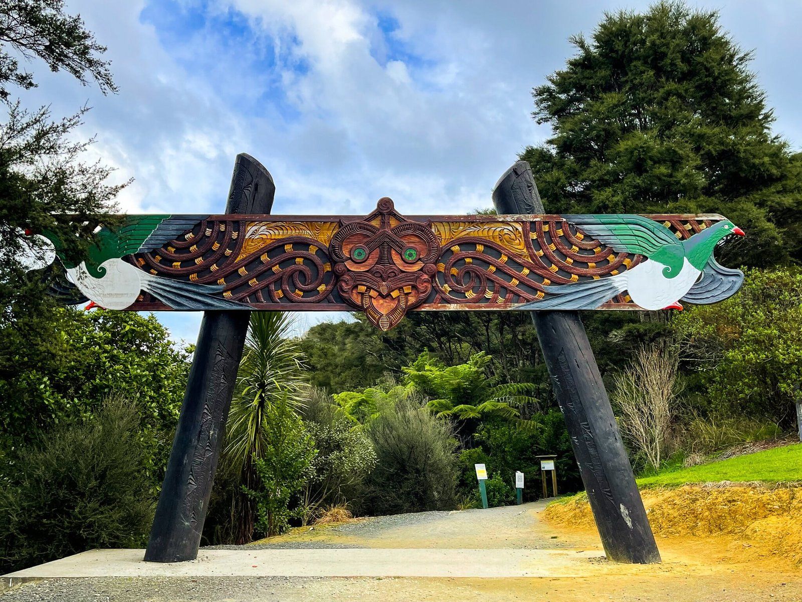
Discover the Hakarimata Range
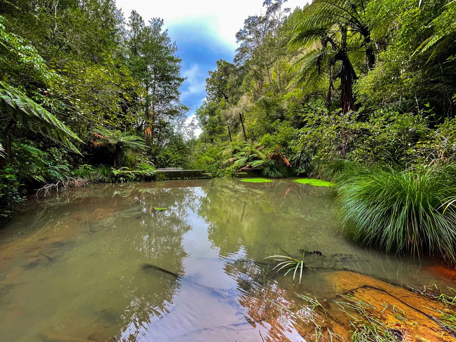
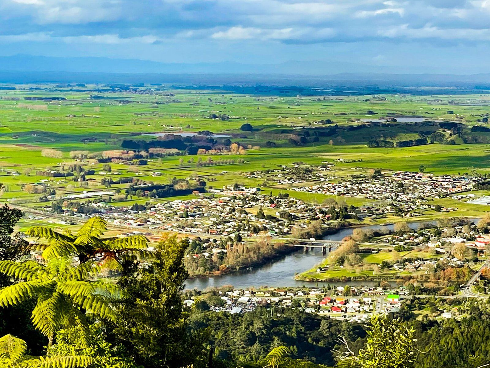
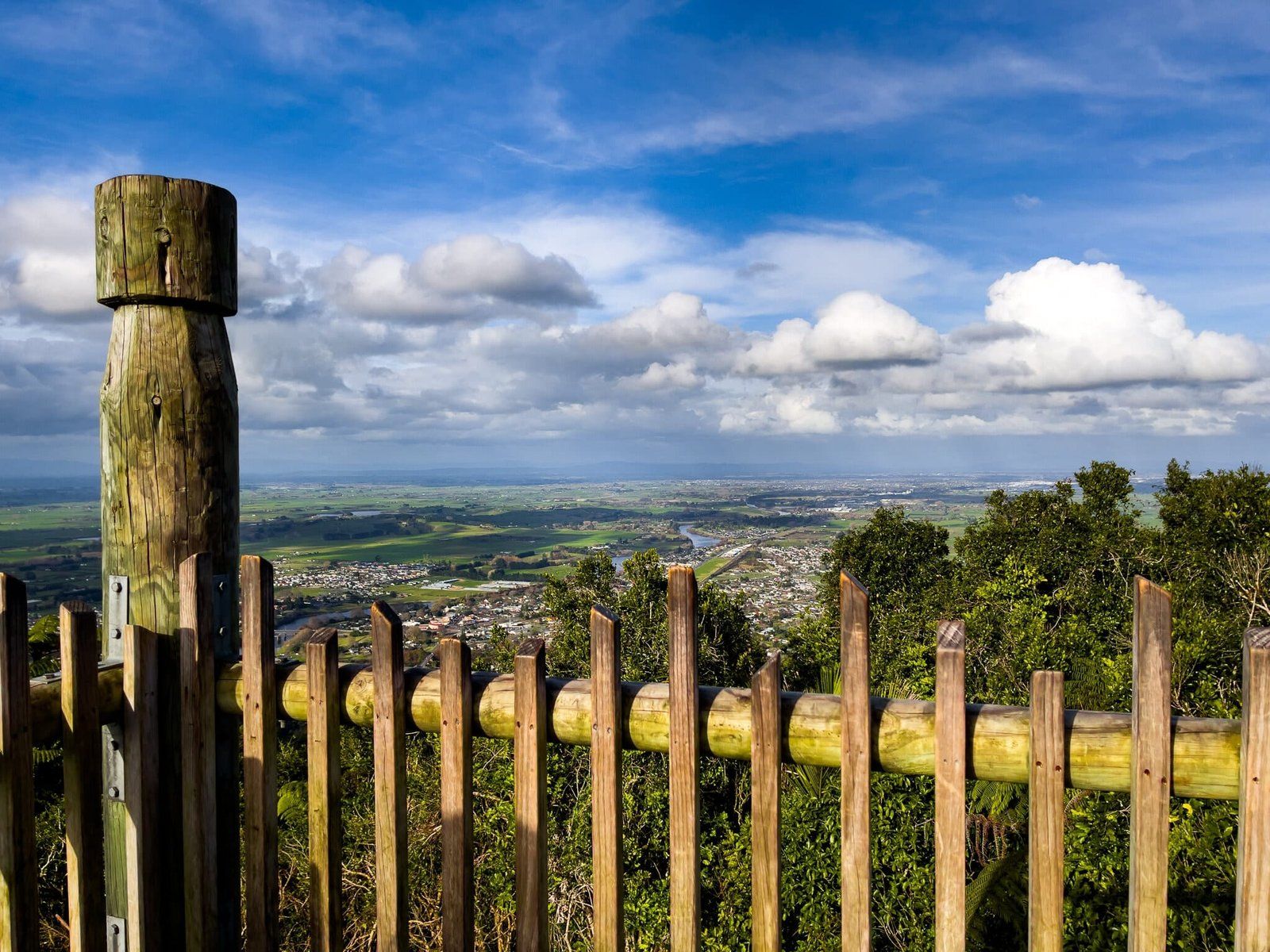
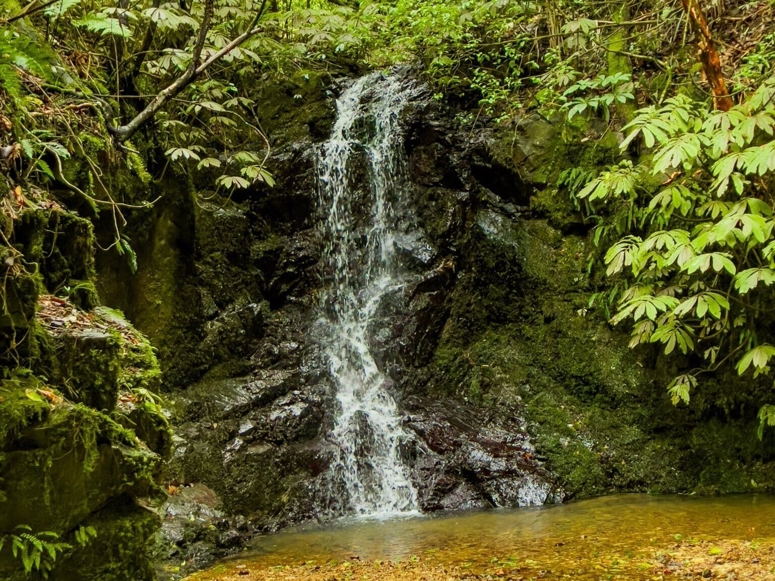
Situated northwest of Ngāruawāhia in the Waikato region, the Hakarimata Range offers breathtaking views over the meeting point of the Waikato River and Waipā River. The area is also home to recovering native forest, including some of the southernmost naturally occurring kauri trees, and provides superb hiking opportunities.
Hiking the Hakarimata Range
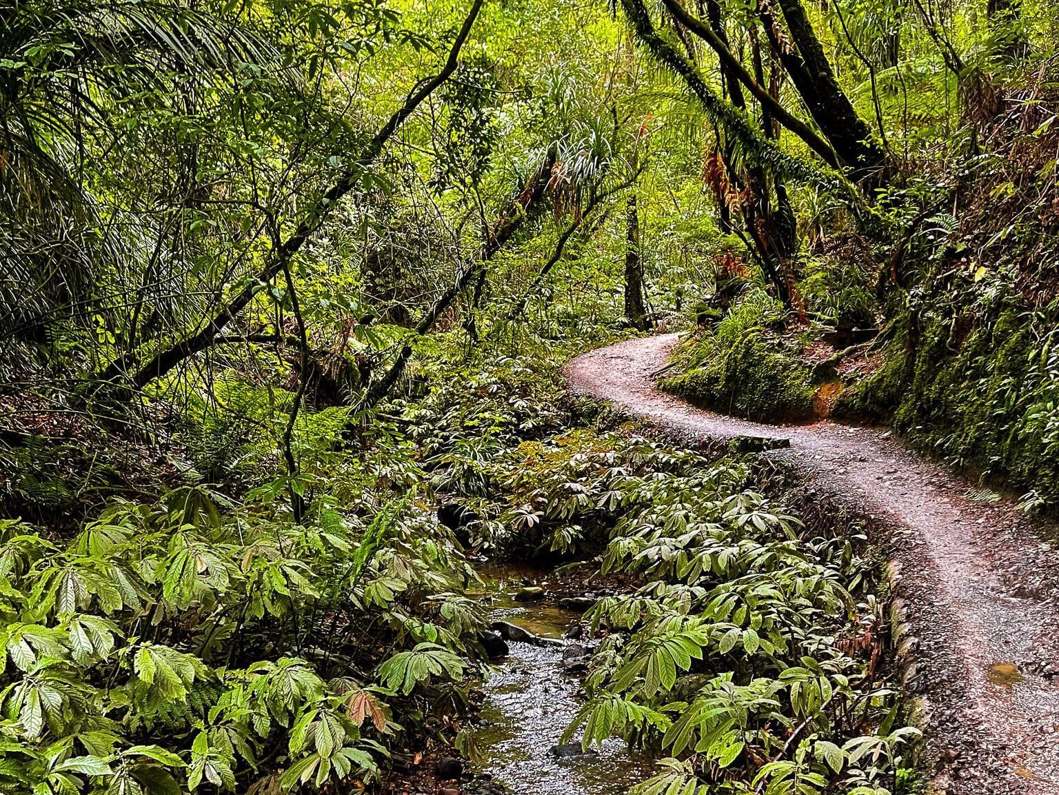
The main Hakarimata Range track is the Hakarimata Walkway, which stretches along the 300 metre high ridge for about 10 kilometres. The walkway is also a segment of Te Araroa.
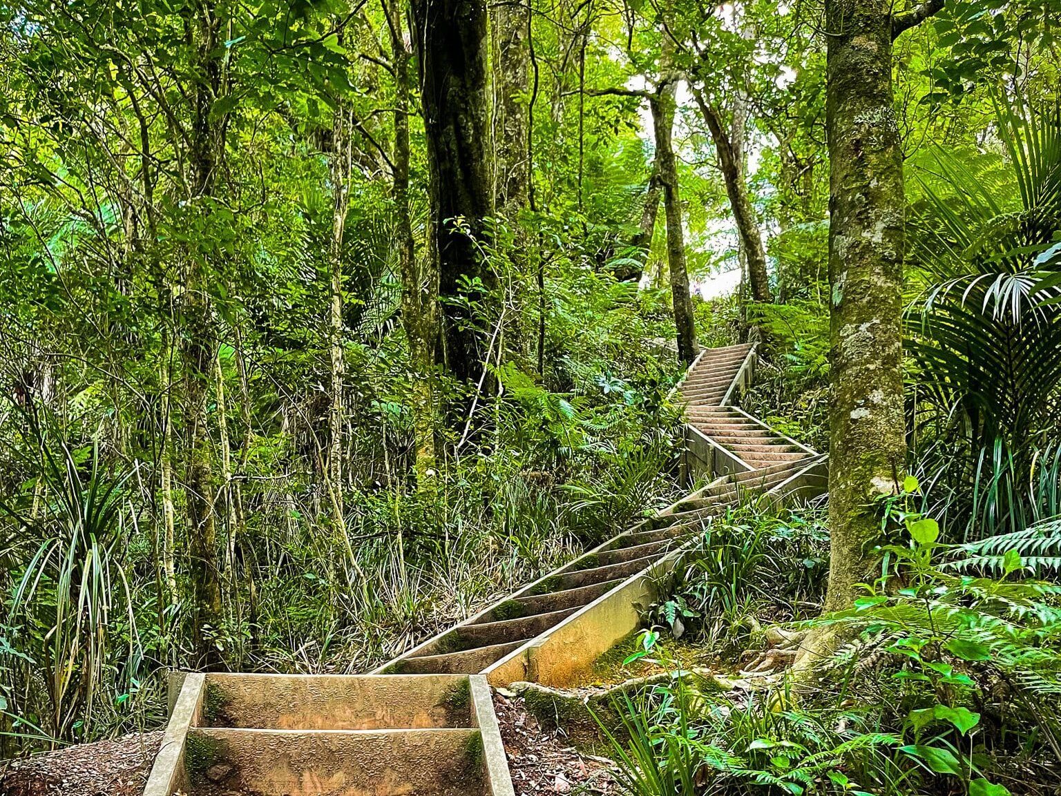
For those looking for a shorter but challenging hike, the Waterworks Walk is a popular option. This trail starts in Ngāruawāhia on the west side of the Waipā River. It climbs steeply up the range to a high point with a viewing tower, offering sweeping views. The walk takes roughly 90 minutes and features numerous steps. For those with limited time, a shorter walk to the dam is an option.
Alternatively, the Kauri Loop Track at the northern end of the range offers a still steep but less strenuous hike from the start of the Hakarimata Walkway. This track provides access to a significant kauri grove, and one of the trees is over 1,000 years old.
How to get to the Hakarimata Range
To access the Hakarimata Range, take the Waikato Expressway (State Highway 1) off-ramp at Taupiri. Follow Orini Road to Taupiri, then Great South Road to Ngāruawāhia. From there, turn northwest onto Waingaro Road and cross the Waipu River Bridge. Turn immediately right onto Hakarimata Road, and you will see the Waterworks track on the left. To access the northern end of the Hakarimata Range and the Kauri Loop Track, continue on Hakarimata Road until you see Parker Road on the left, where you will find a large car park next to the track access.
While in the area, you can also explore the historic Point in Ngārtuawāhia, where the two rivers meet near the residence of Kingitanga, visit the Huntly Lakes and check out the Taupiri Pass Scientific Reserve.