The Scenic Road to French Pass
French Pass is a remote and captivating destination located at the far northwest tip of the Marlborough Sounds in New Zealand. The road to French Pass is a unique driving experience, with stops in beautiful bays and stunning coastal views.
Discover the Road to French Pass
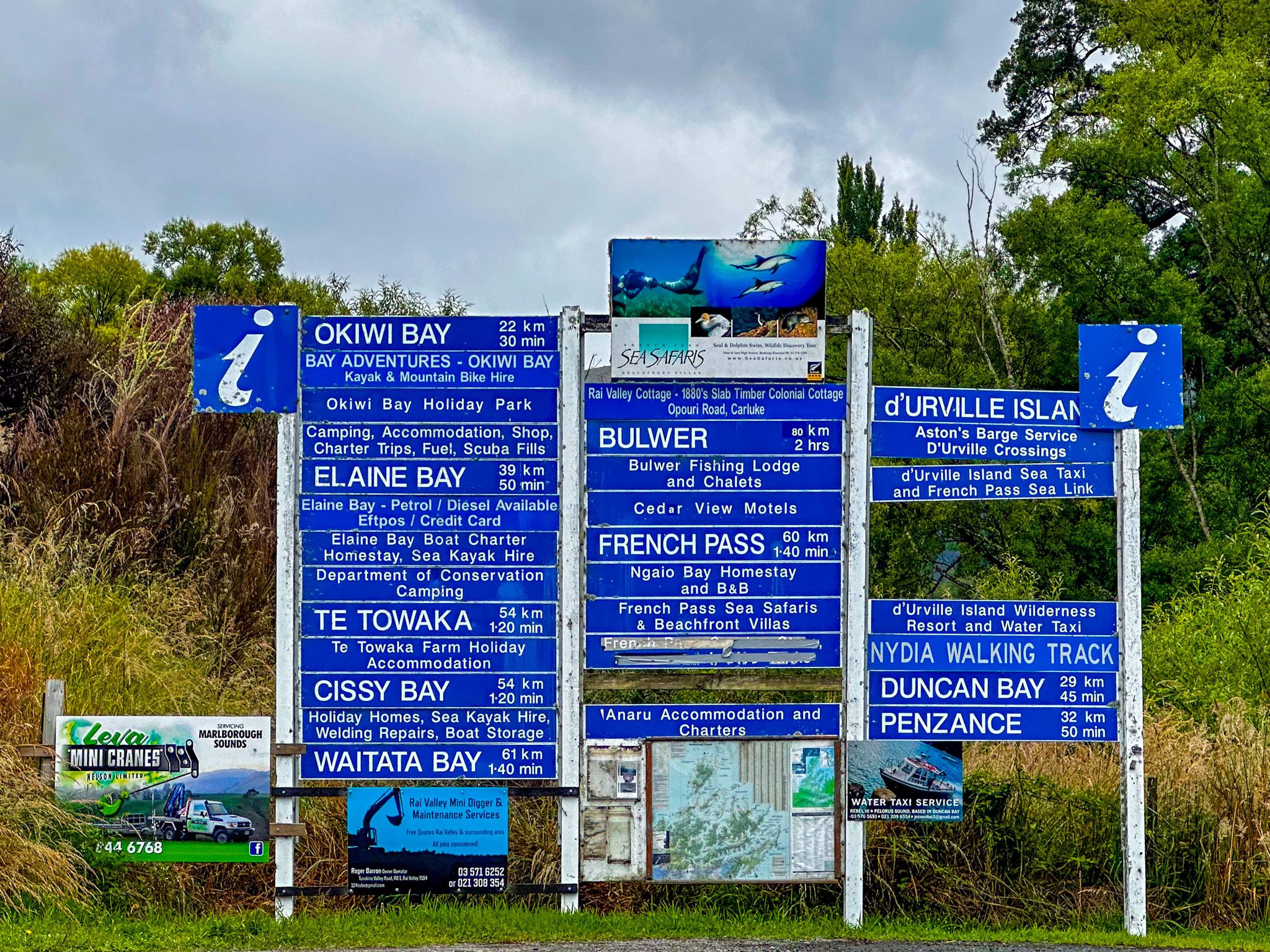
The trip begins from State Highway 6, just north of Rai Valley, between Nelson and Blenheim. The drive is approximately 60 km and takes about 90 minutes, offering a mix of winding roads and spectacular vistas. Start by turning onto Rongo Road, where you'll immediately notice one of New Zealand's largest collections of road signs; a curious sight given the limited destinations in the area.
Rongo Road leads you north through a farmed valley, transitioning into Croisilles Road as it ascends through regenerating native forest. The road climbs over the 300-metre-high Rongo Saddle before descending to Okiwi Bay, where you can access the beach and a campsite.
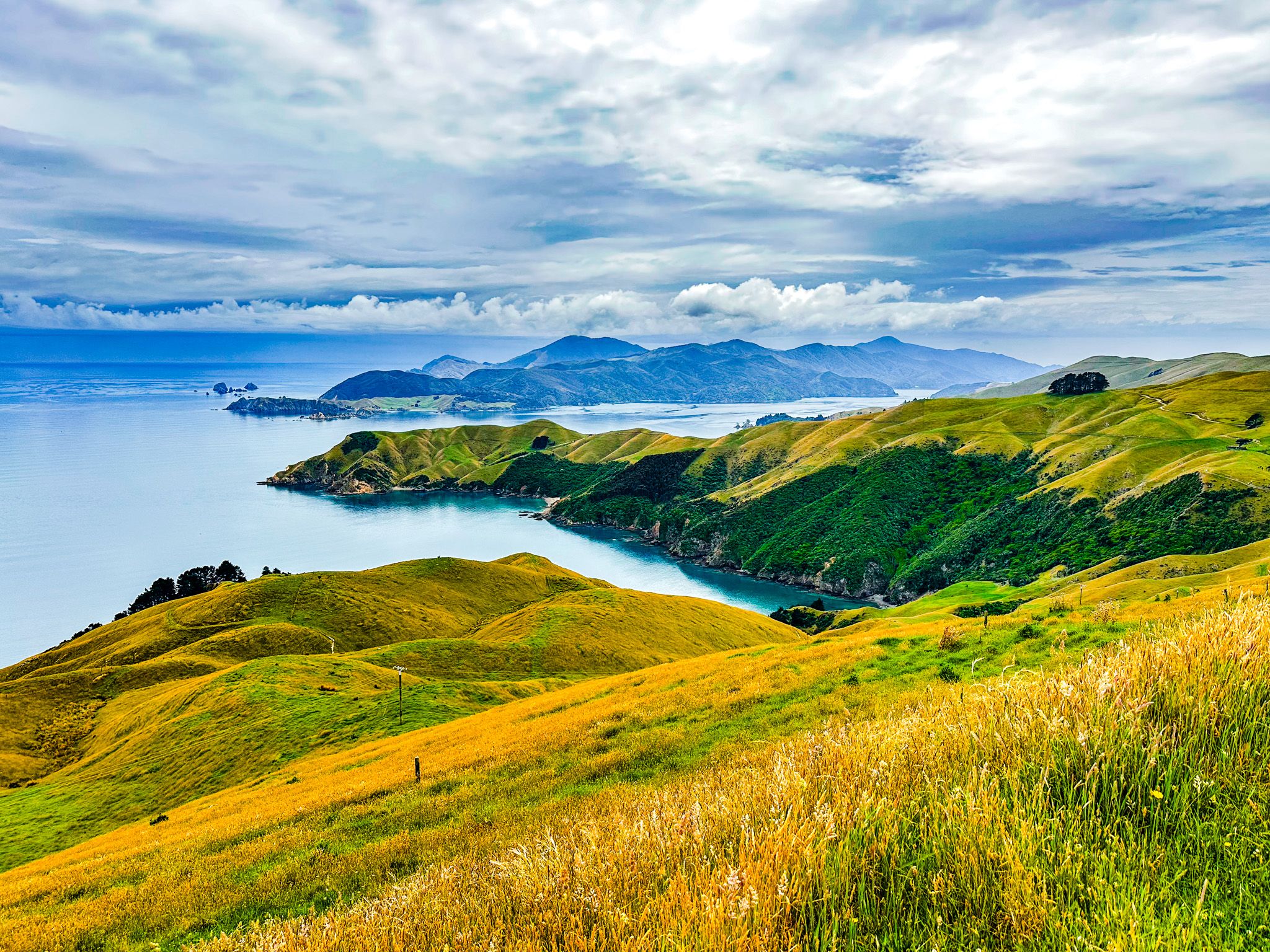
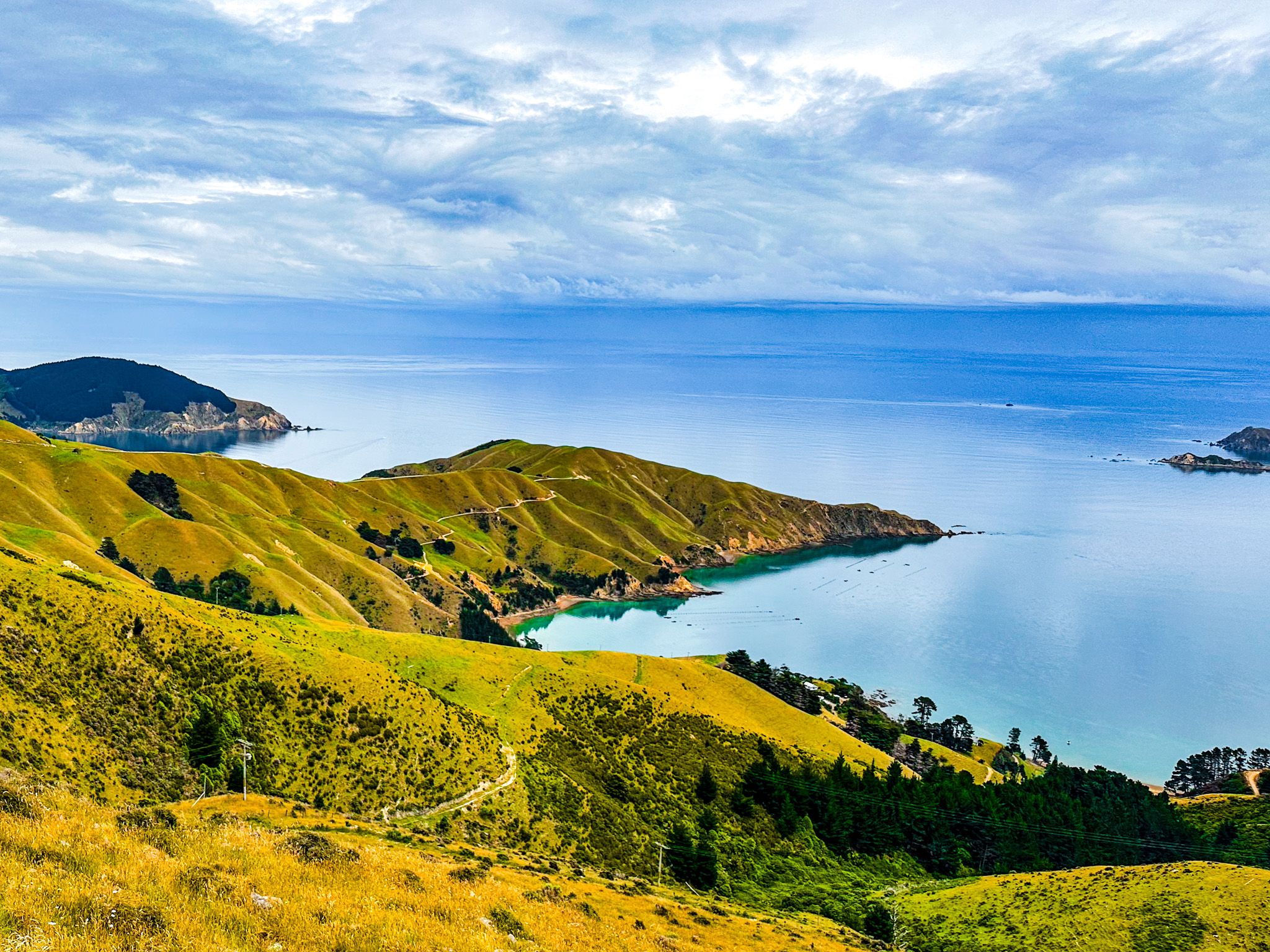
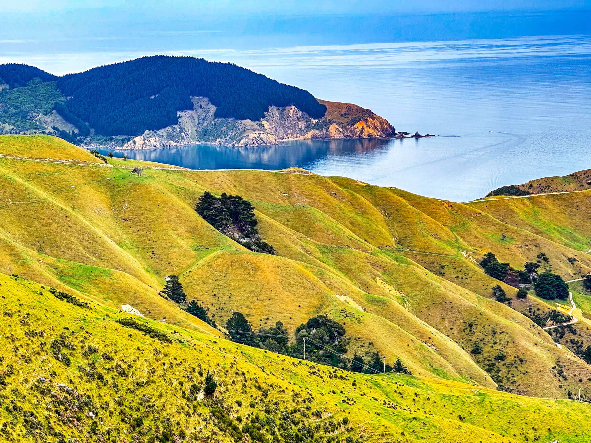
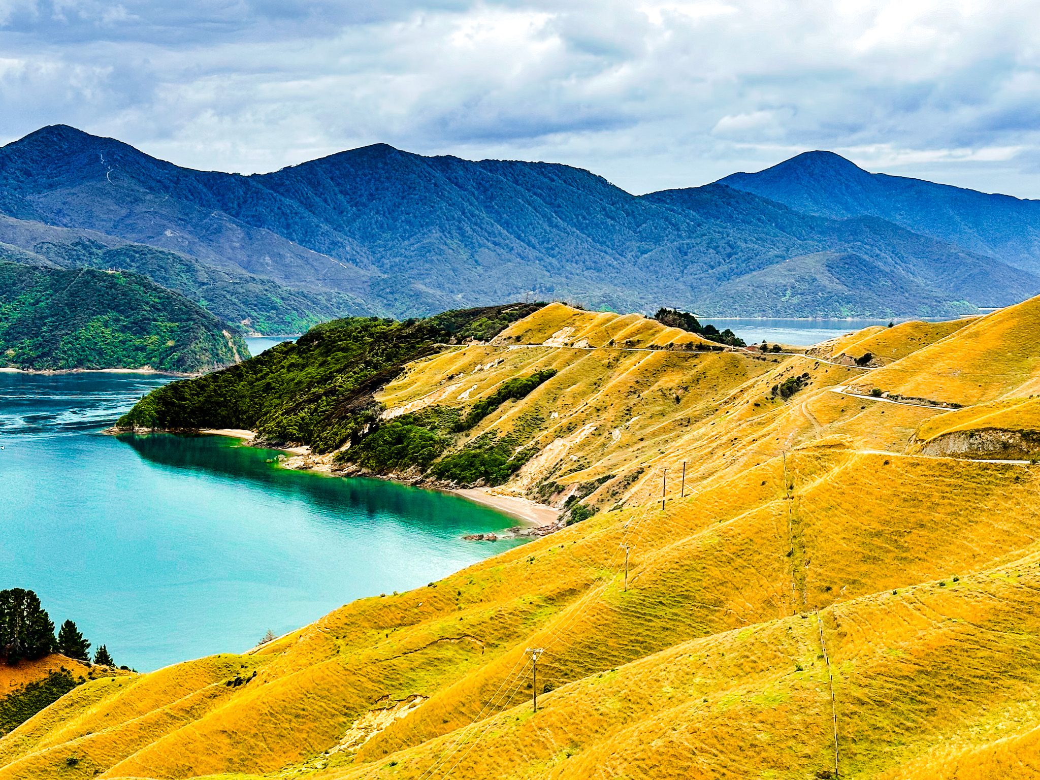
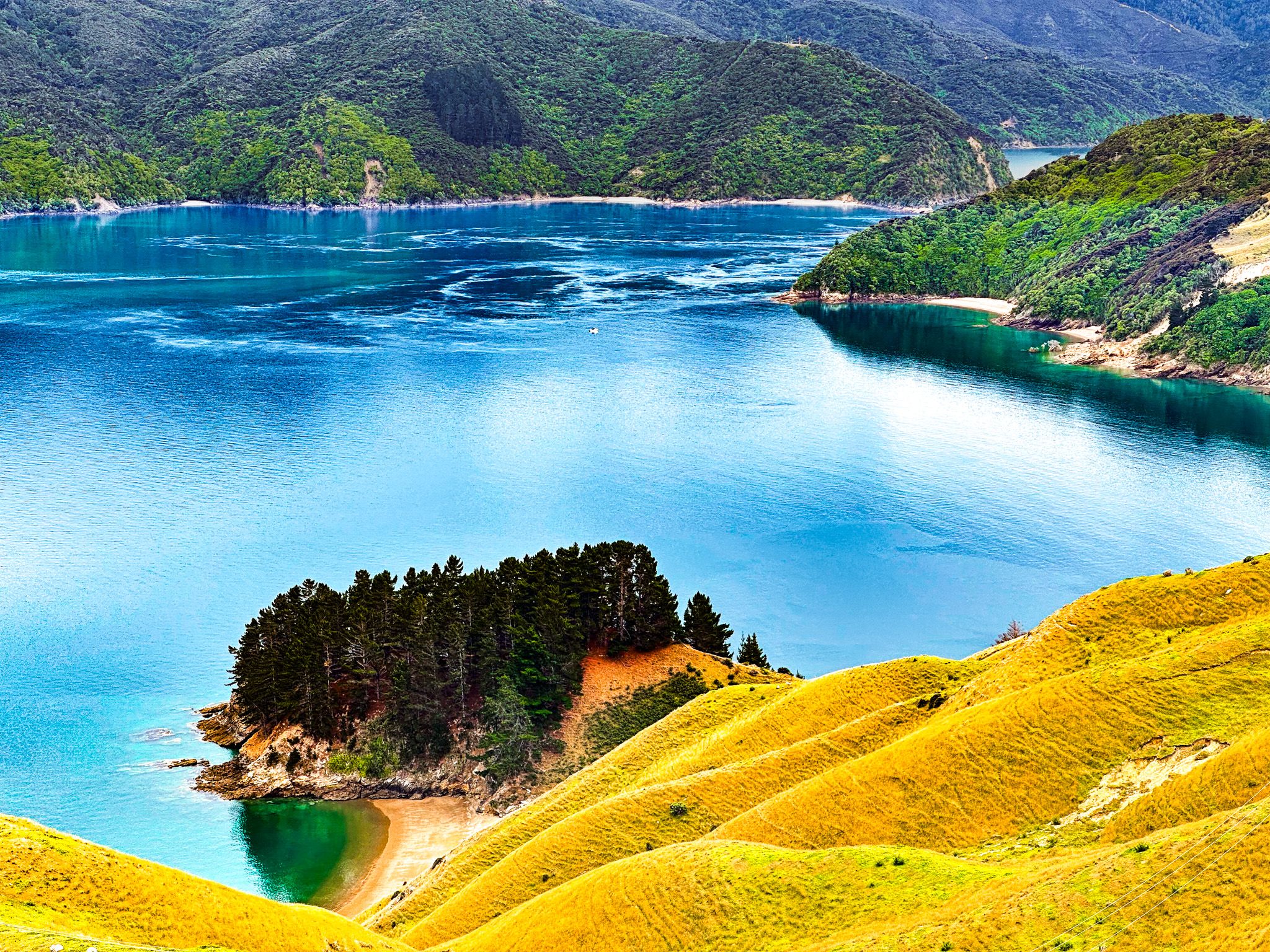
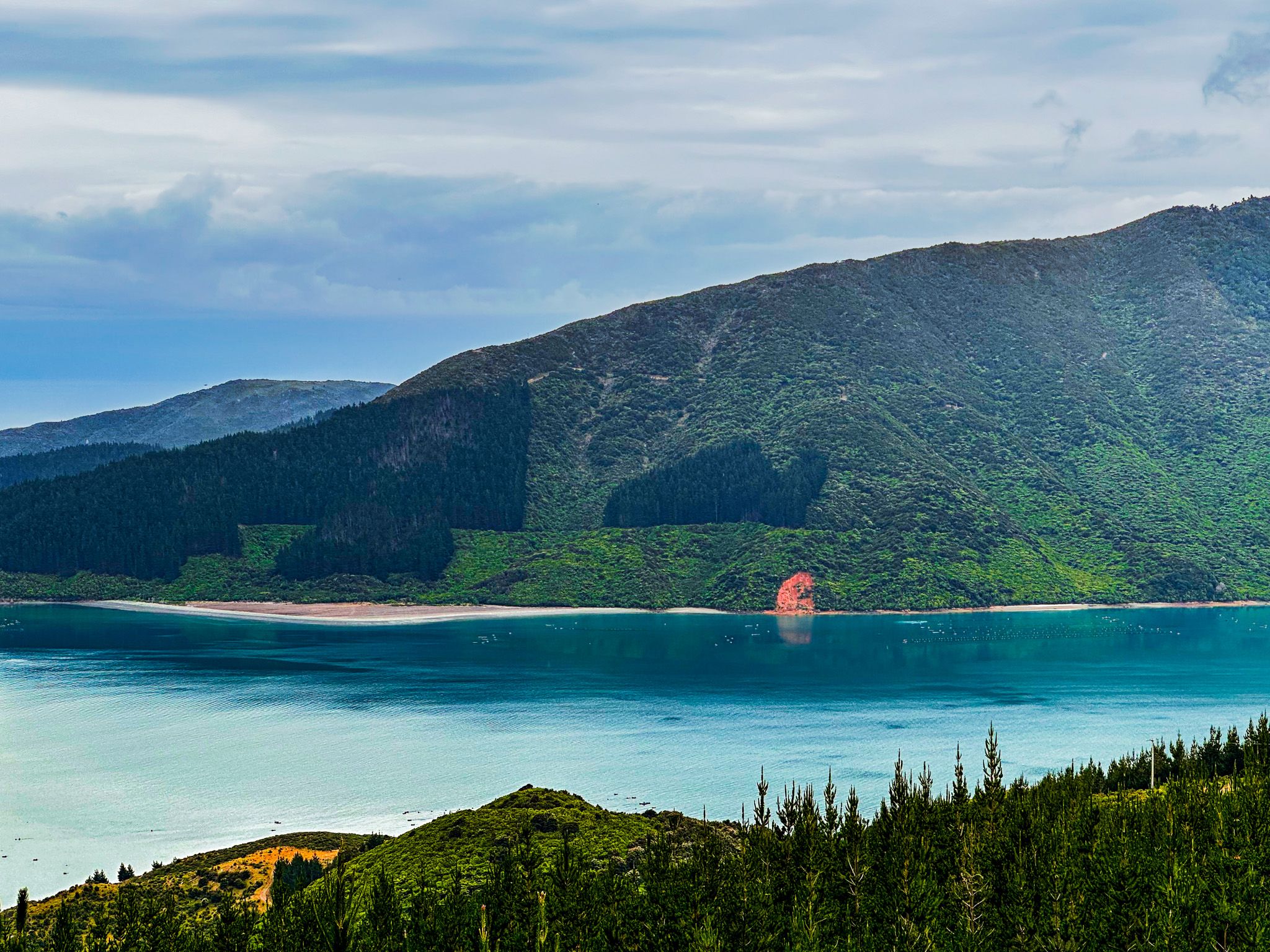
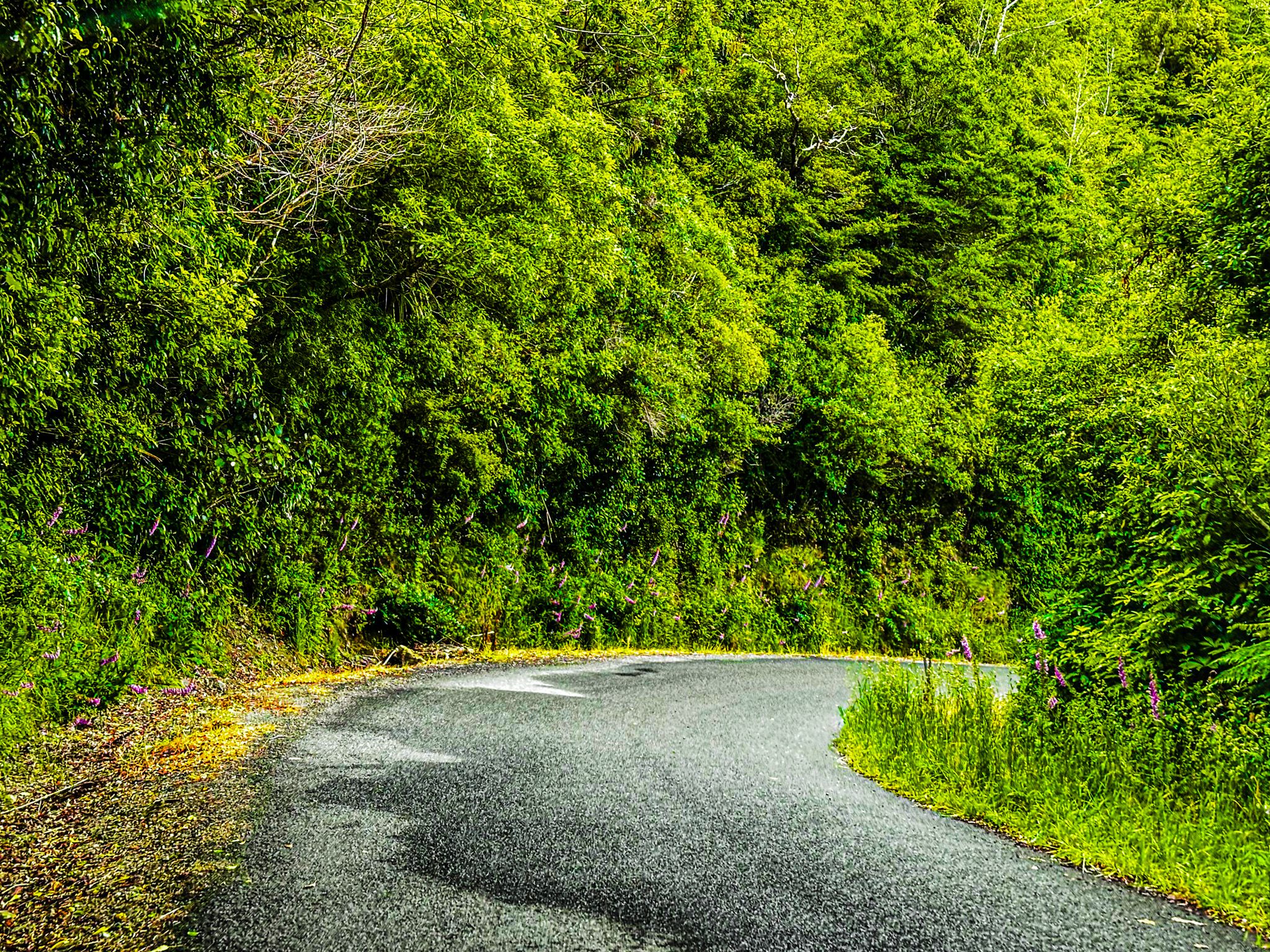
Continuing as Croisilles French Pass Road, the route climbs back to 300 metres, winding through forested areas and pine plantations. One section offers breathtaking views over Croisilles Harbour, named by French explorer Dumont D'Urville around 1820 after his mother's village in Calvados. You can also see Squally Cove, where the name needs no explanation!
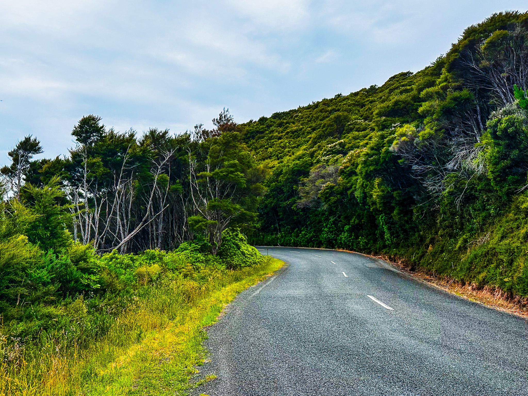
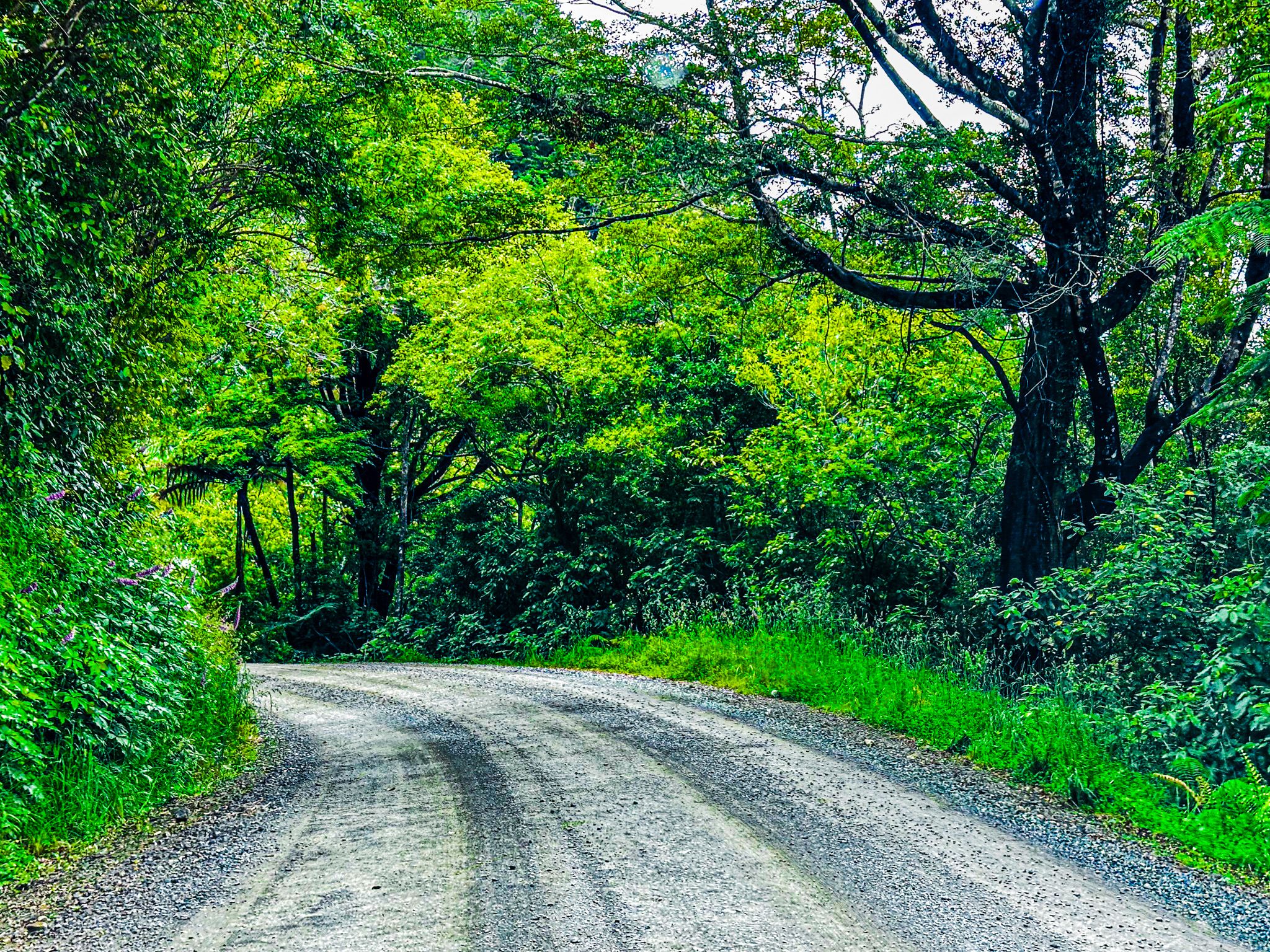
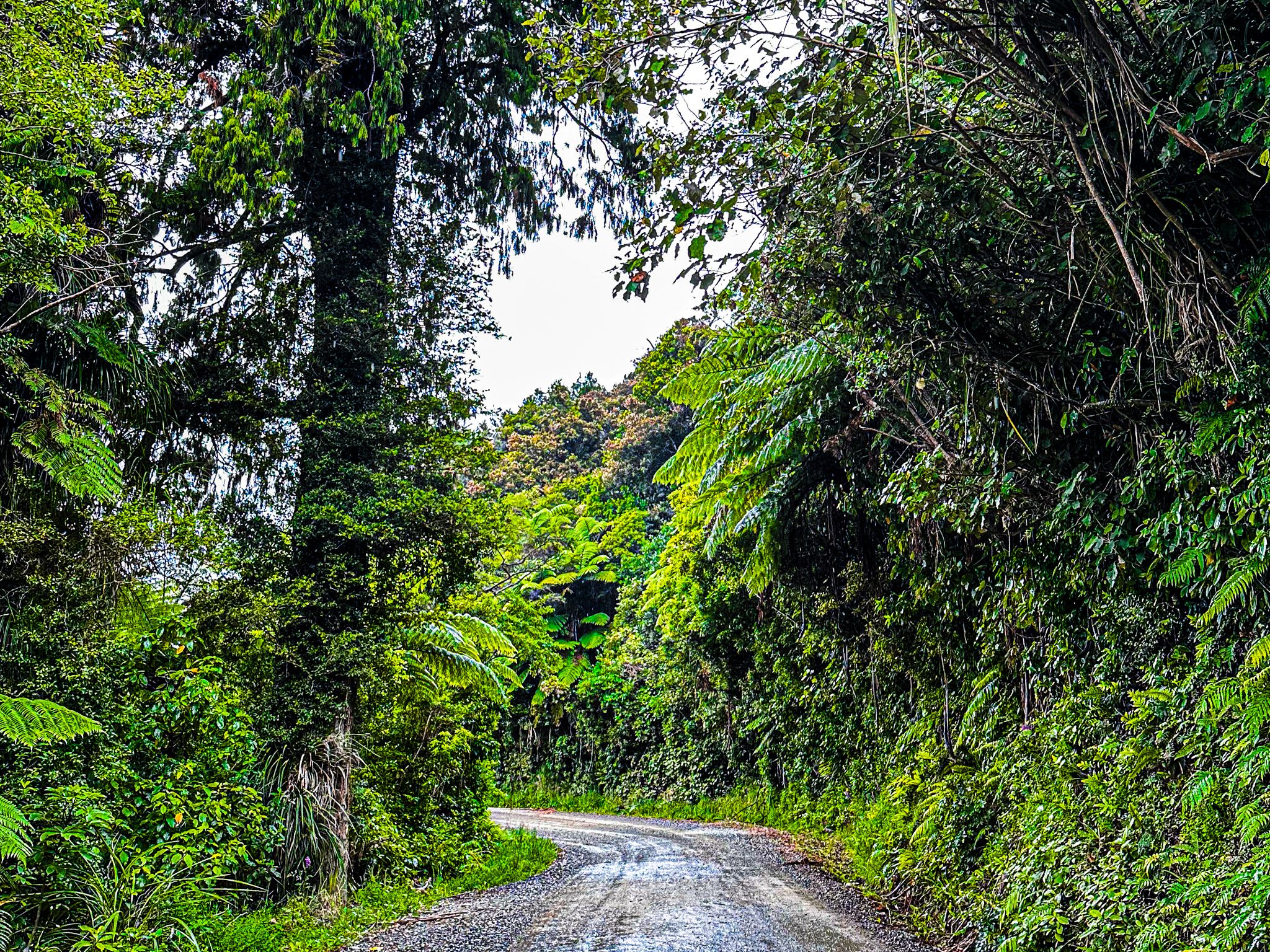
The Gravel Road
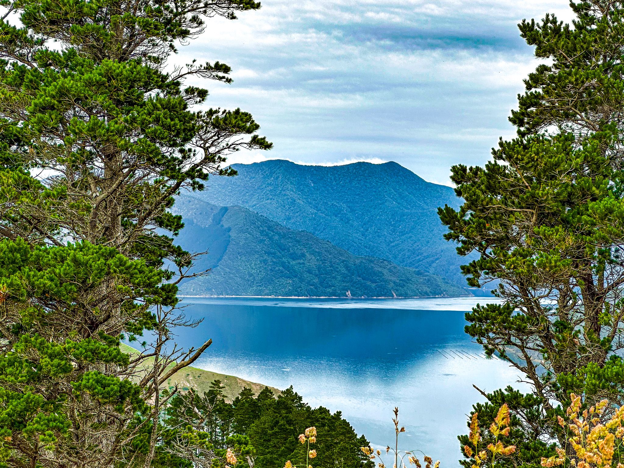
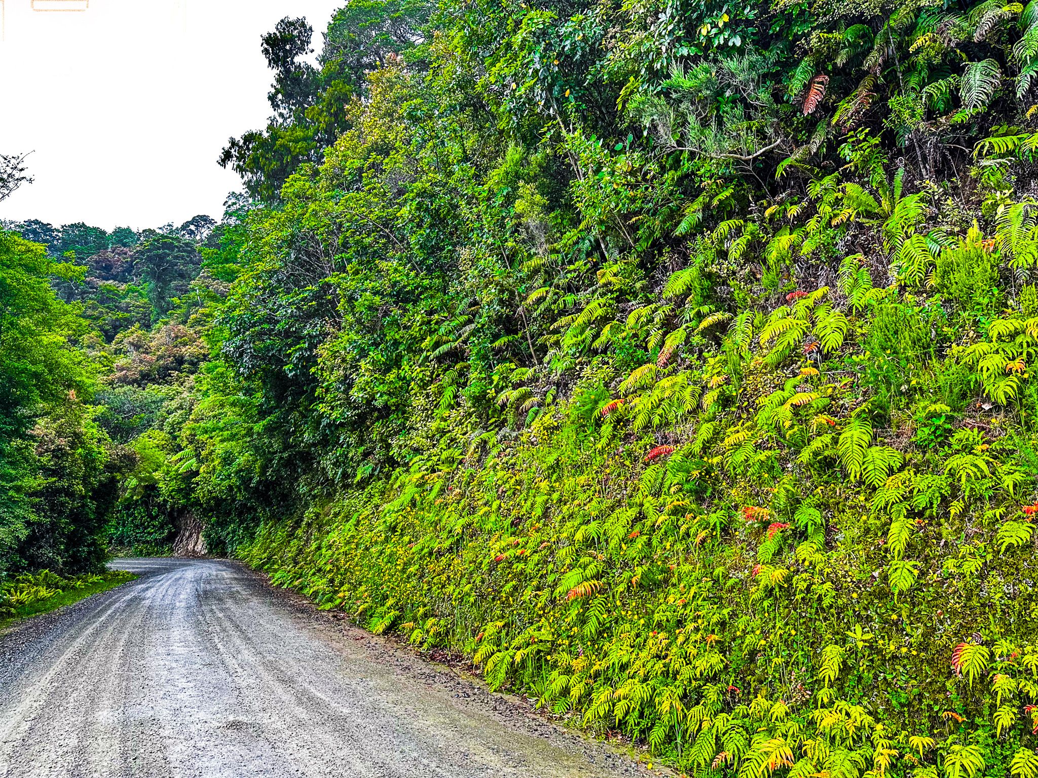
As you near the end of Squally Cove, a side road leads to Elaine Bay in Tennyson Inlet, with a beach and campsite. This marks the end of the sealed road, but the journey remains as winding as ever. The road continues through the forest for another 12 km, with ferns and moss lining the edges. A signposted viewpoint offers a stunning vista of Tawhitinui Reach to the east.
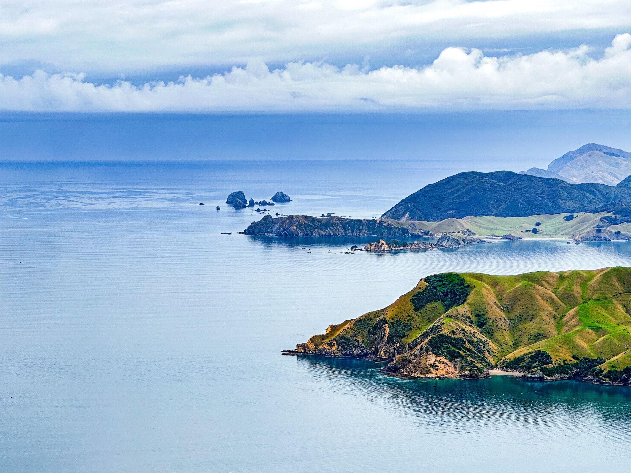
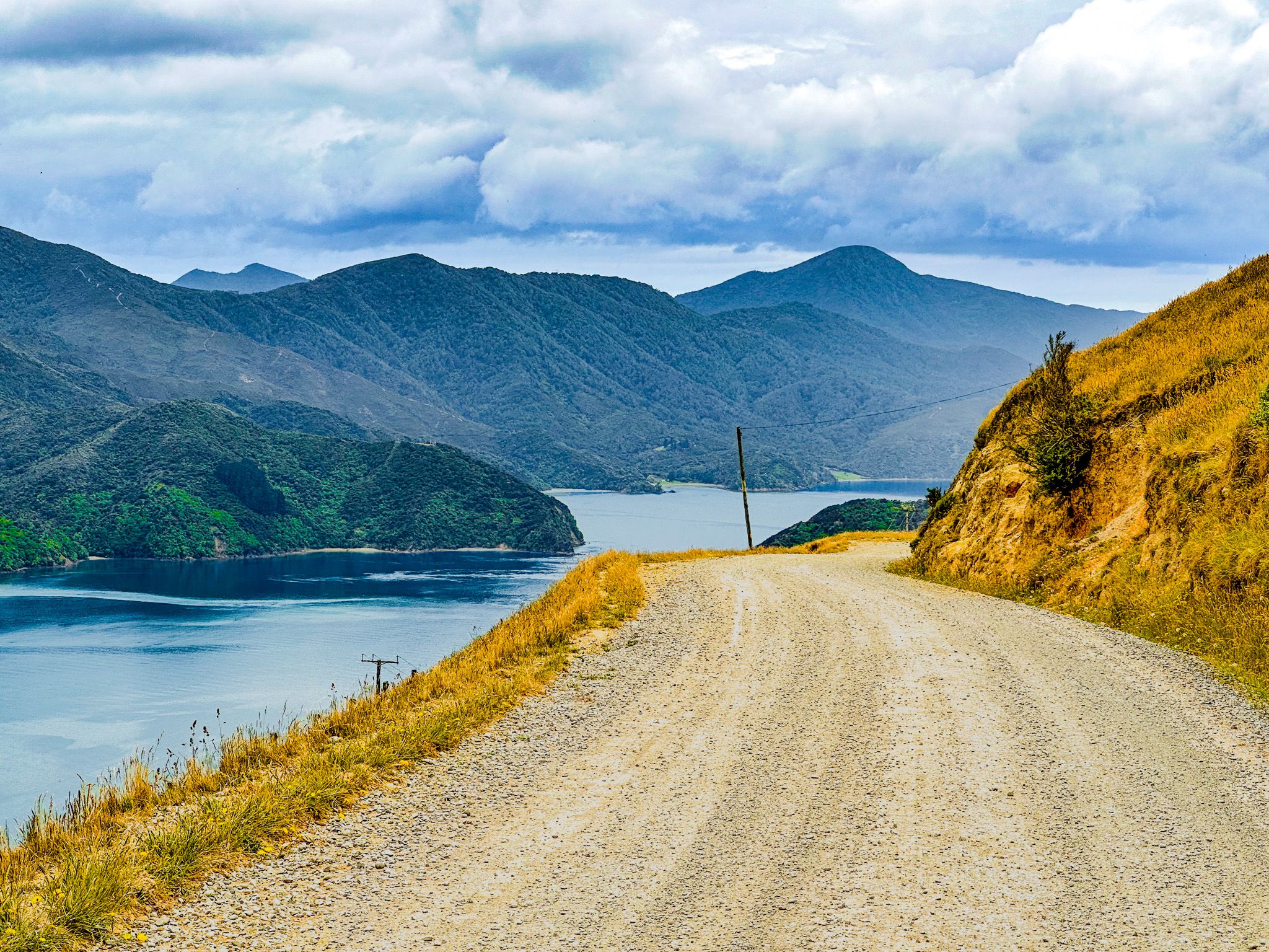
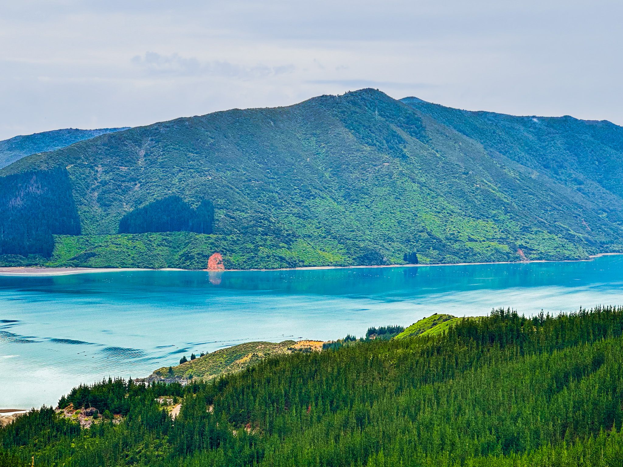
The final 14 km stretch to French Pass traverses steep, open farmland and is one of New Zealand's most spectacular coastal roads. This section follows a ridge approximately 400 metres above the coast. The road is less winding, but there are blind corners and narrow sections. Admiralty Bay lies to the east and Tasman Bay to the west, providing impressive views in both directions.
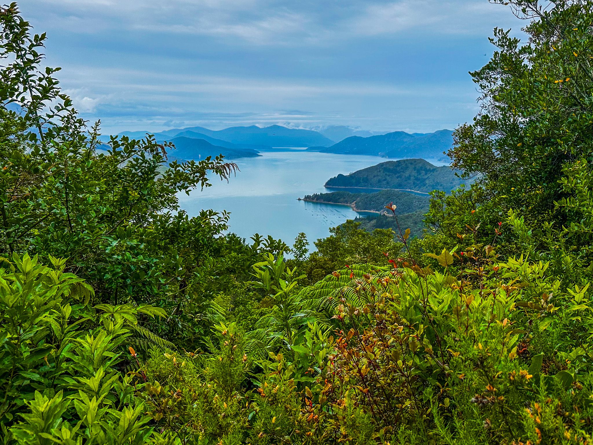
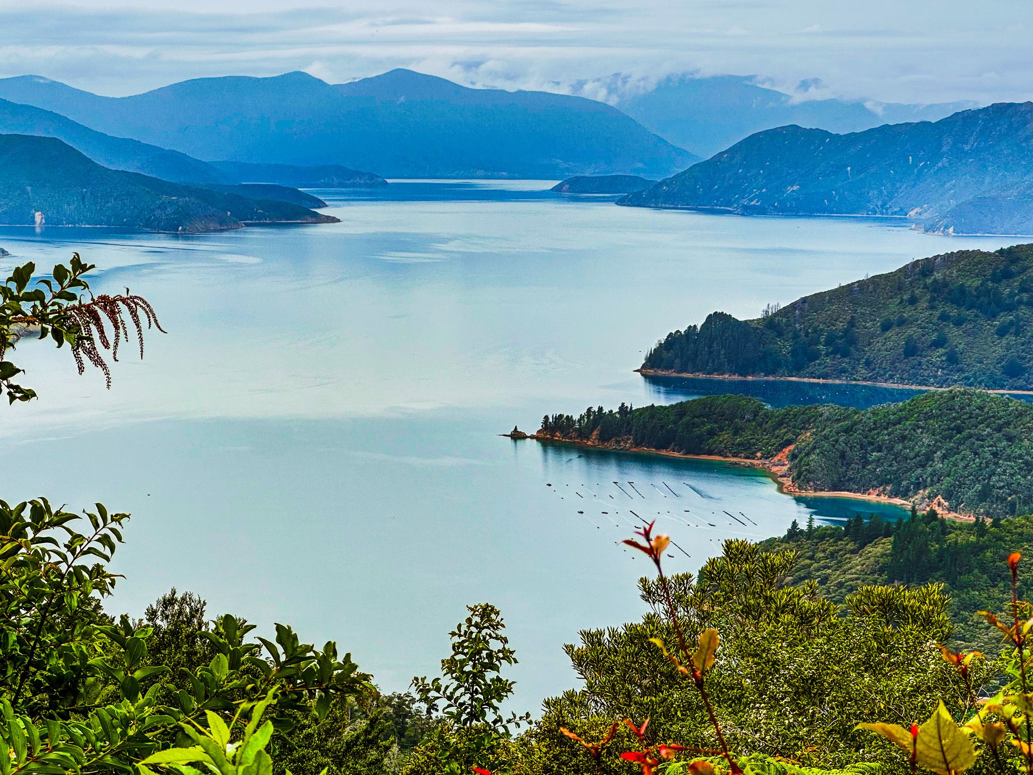
Views of D’Urville Island
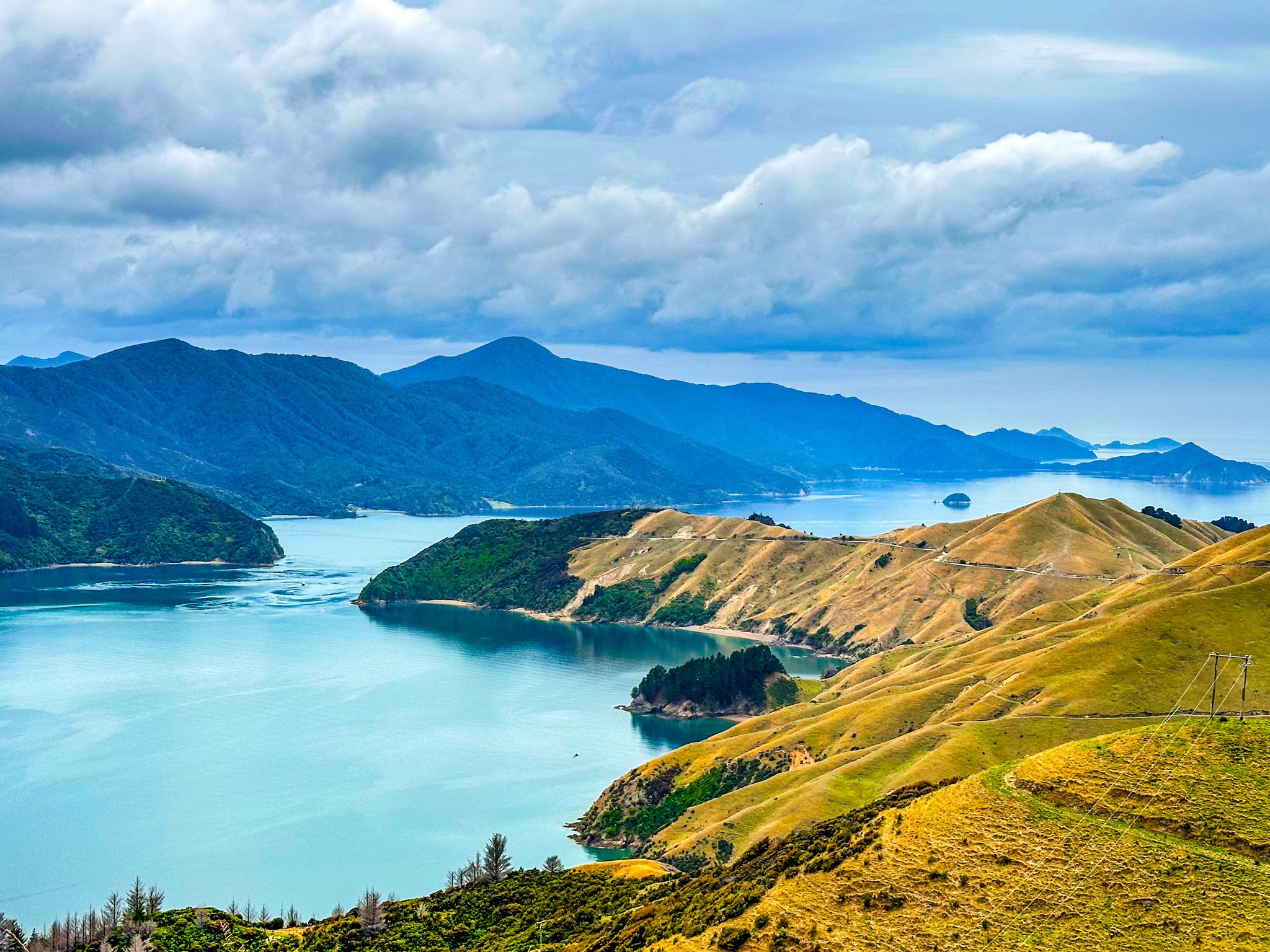
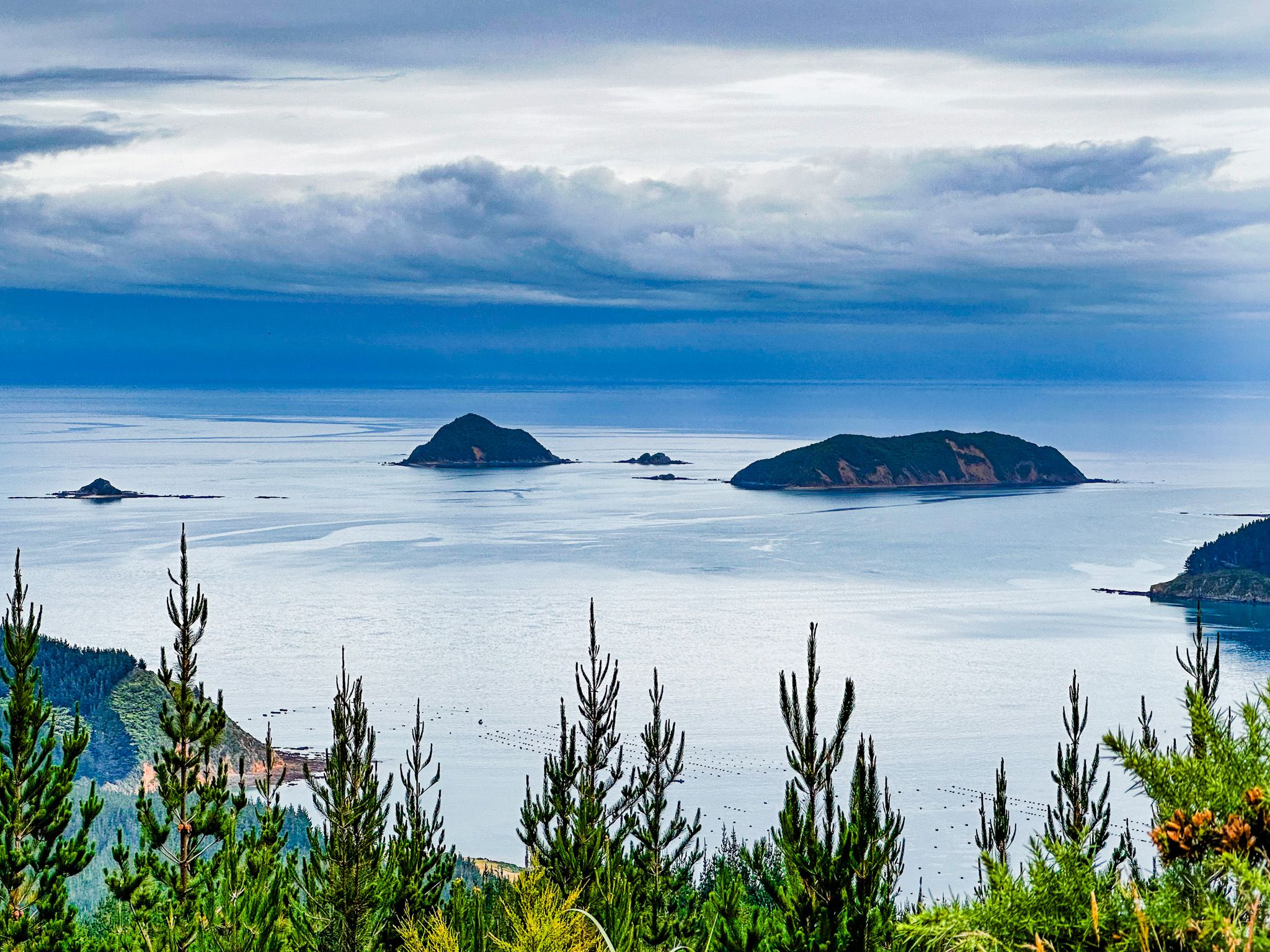
As you drive north, the road descends below the ridge on the west side, revealing expansive views of Rangitoto ki te Tonga / D’Urville Island. The island was named after Dumont D'Urville, the first sea captain to navigate French Pass. The road then runs high above Current Basin, the water between the island's southern end and the mainland coast. The narrow Te Aumiti / French Pass between D'Urville Island and Channel Point becomes visible before the road curves around the point.
Lookouts and French Pass
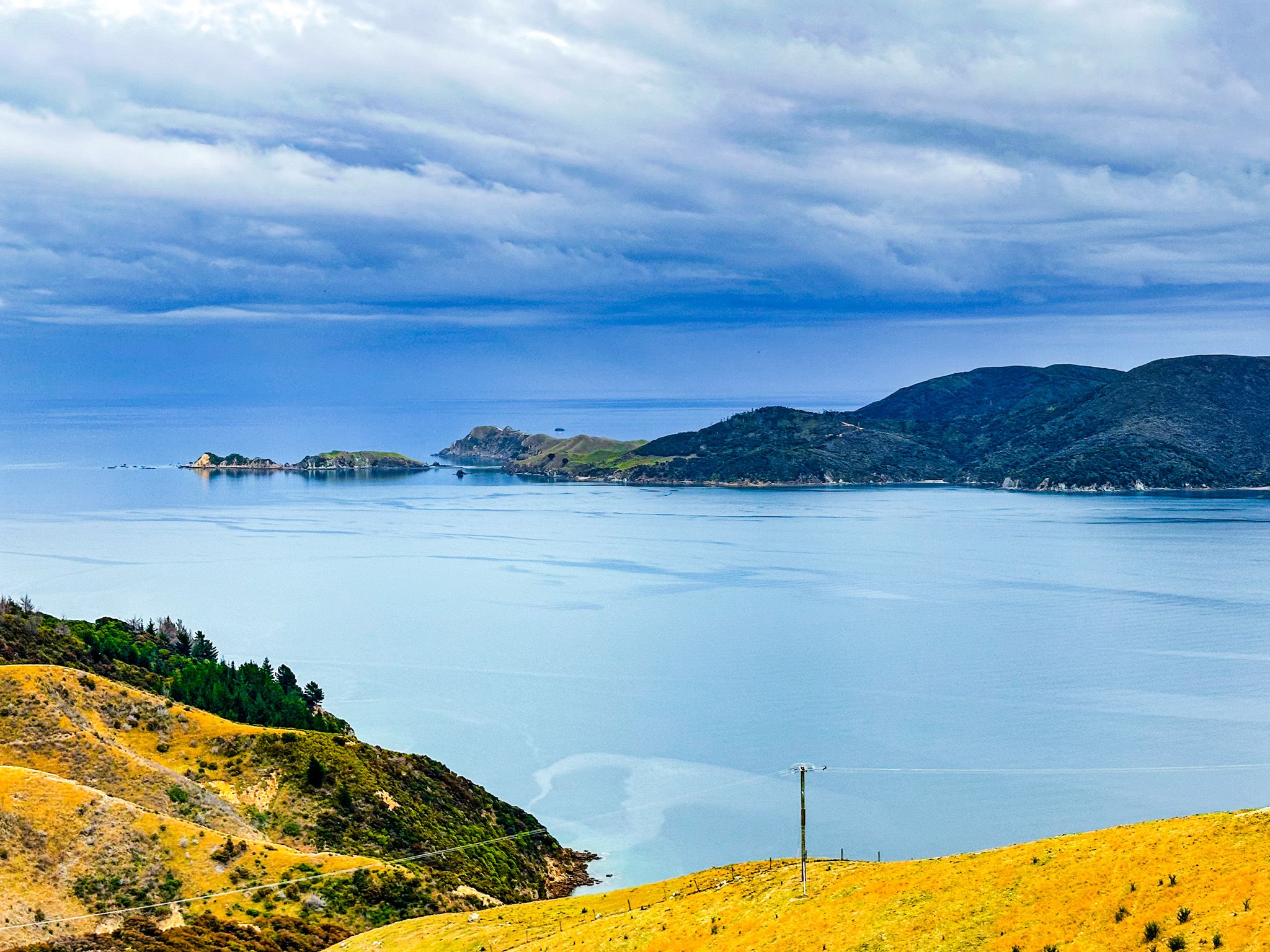
A short track leads to French Pass Lookout, with limited parking available. A second viewpoint at Collinet Lookout has more space and different perspectives of the pass and D’Urville Island. The road then descends to the beach and the small settlement of French Pass / Anaru, where a campsite is located by the beach at the road's end.
Additionally, a ferry to D’Urville Island is available, accommodating 4WD vehicles, walkers, and cyclists.