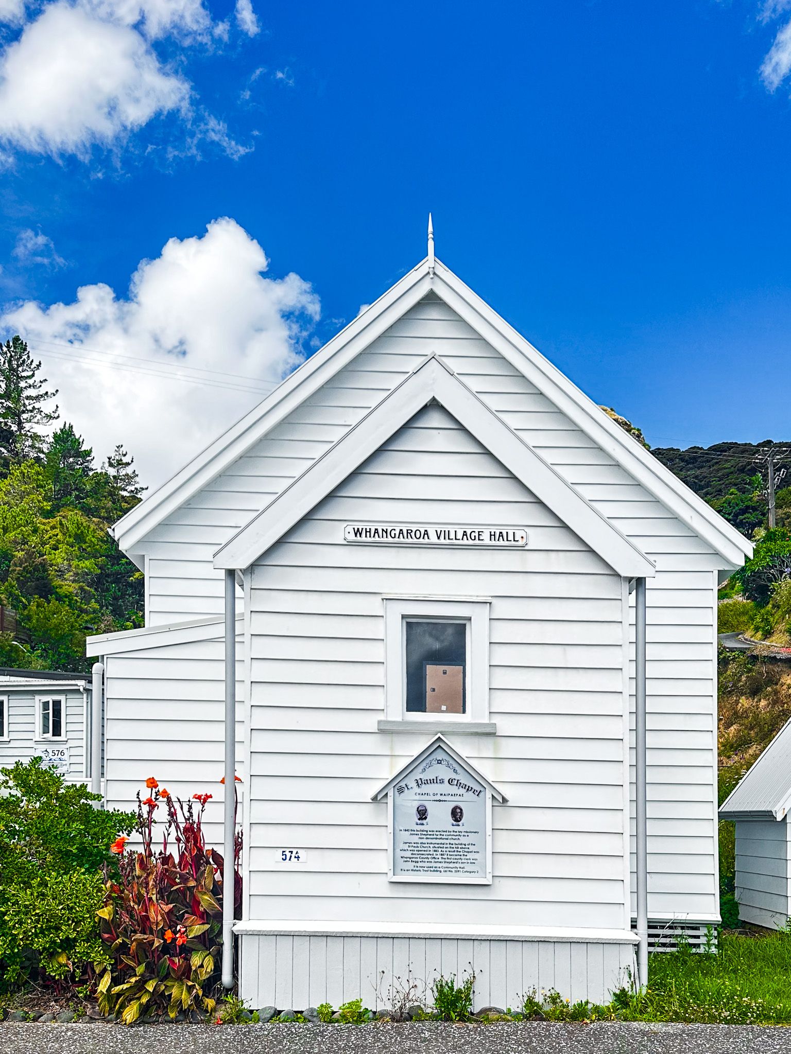
Exploring Whangaroa Harbour's Natural Wonders
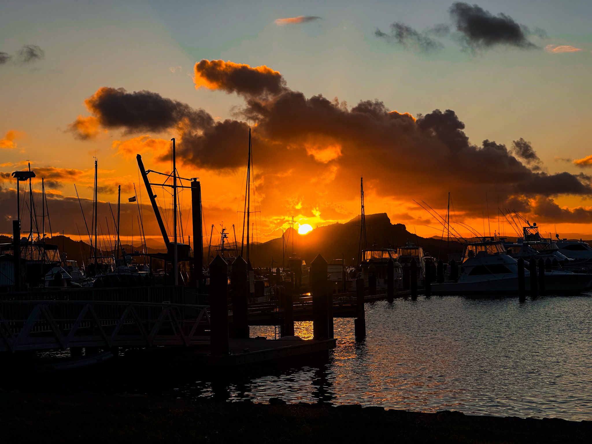
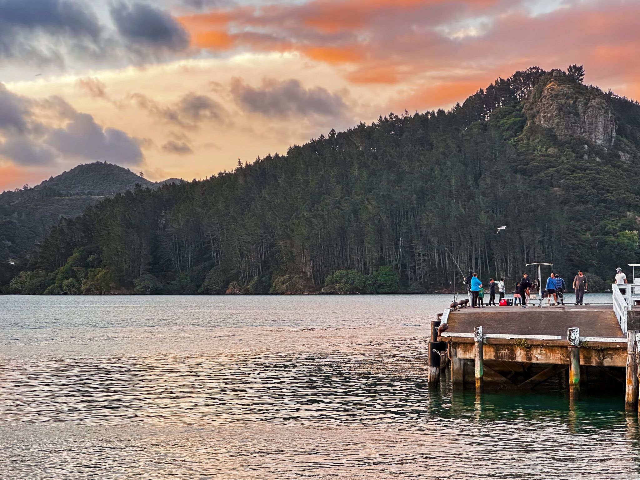
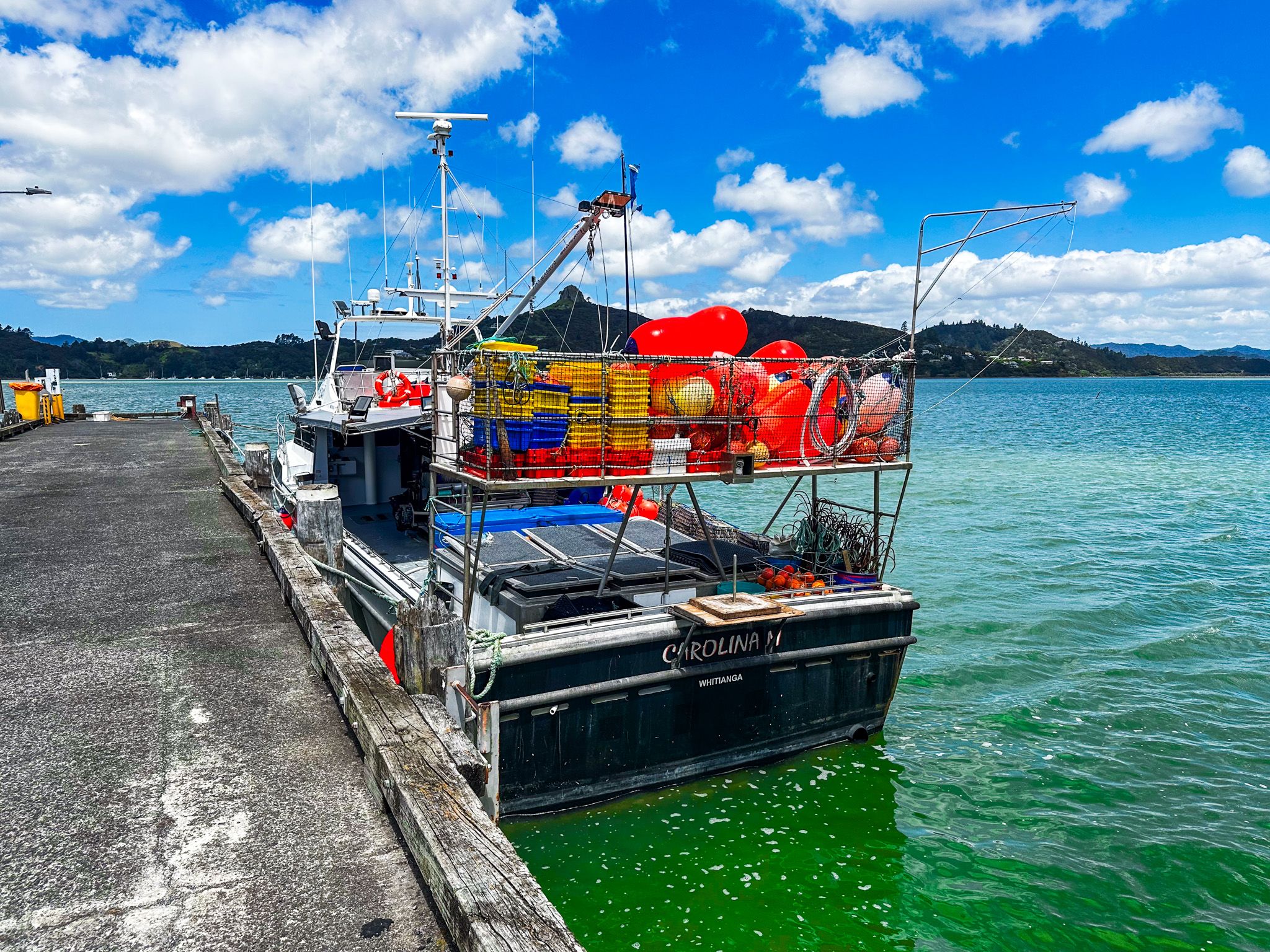
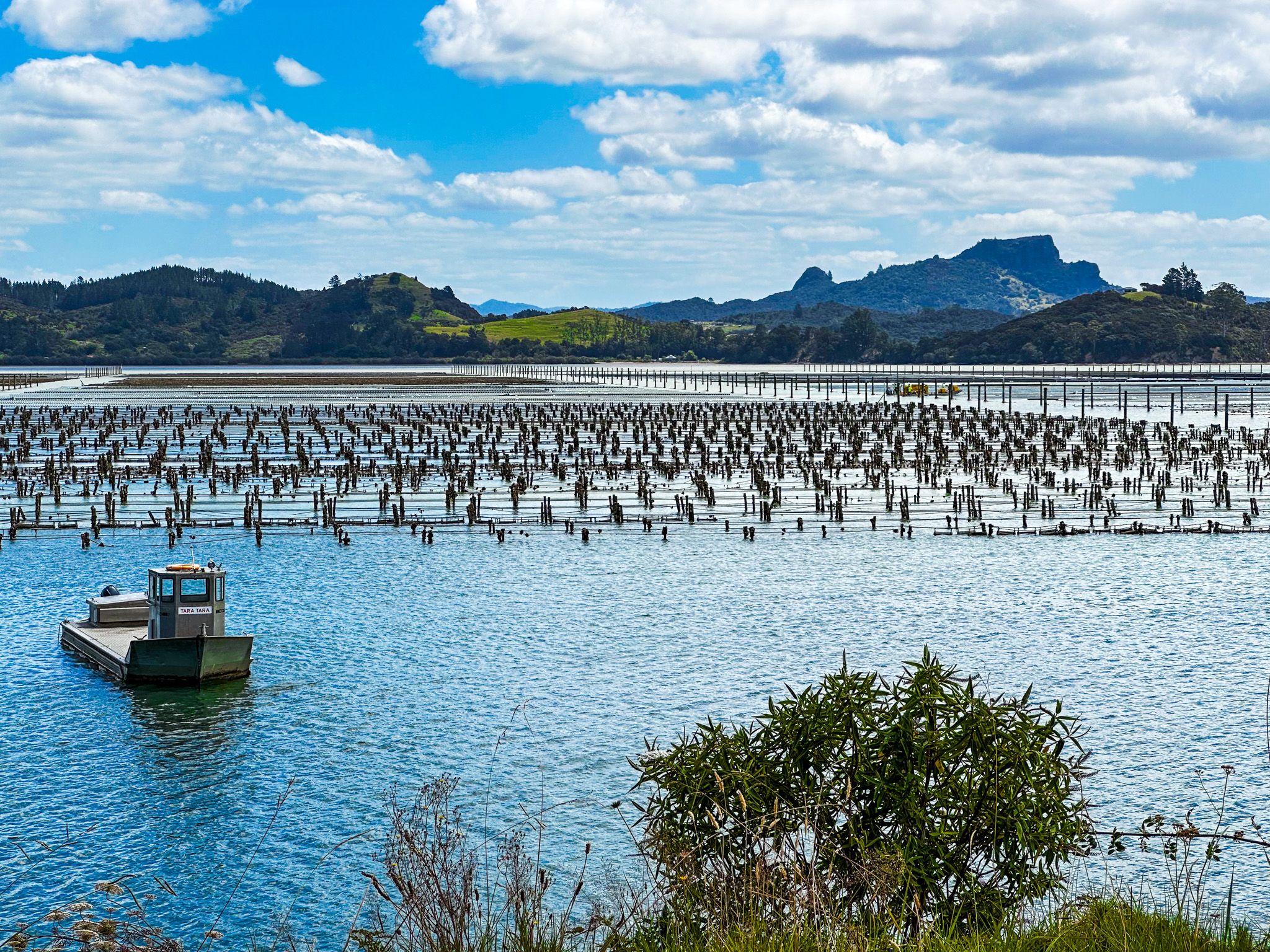
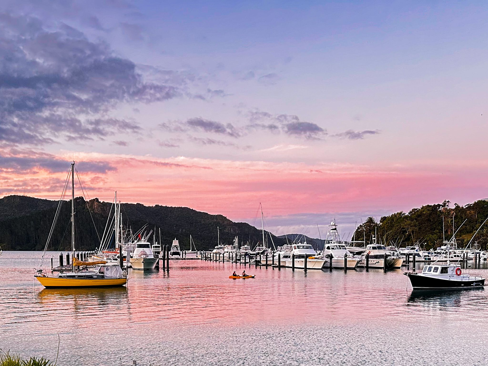
Whangaroa Harbour, located in Northland, New Zealand, is known for its extraordinary natural volcanic rock formations, mostly covered in native forest. This stunning harbour is home to two small towns: Whangaroa on the east side and Totara North on the west. There is a marina at Whangaroa, which is adjacent to the only restaurant in the area, located at the sailing club. The harbour also supports Pacific oyster farming operations with commercial wharves situated south of Whangaroa.
Geological History and Features
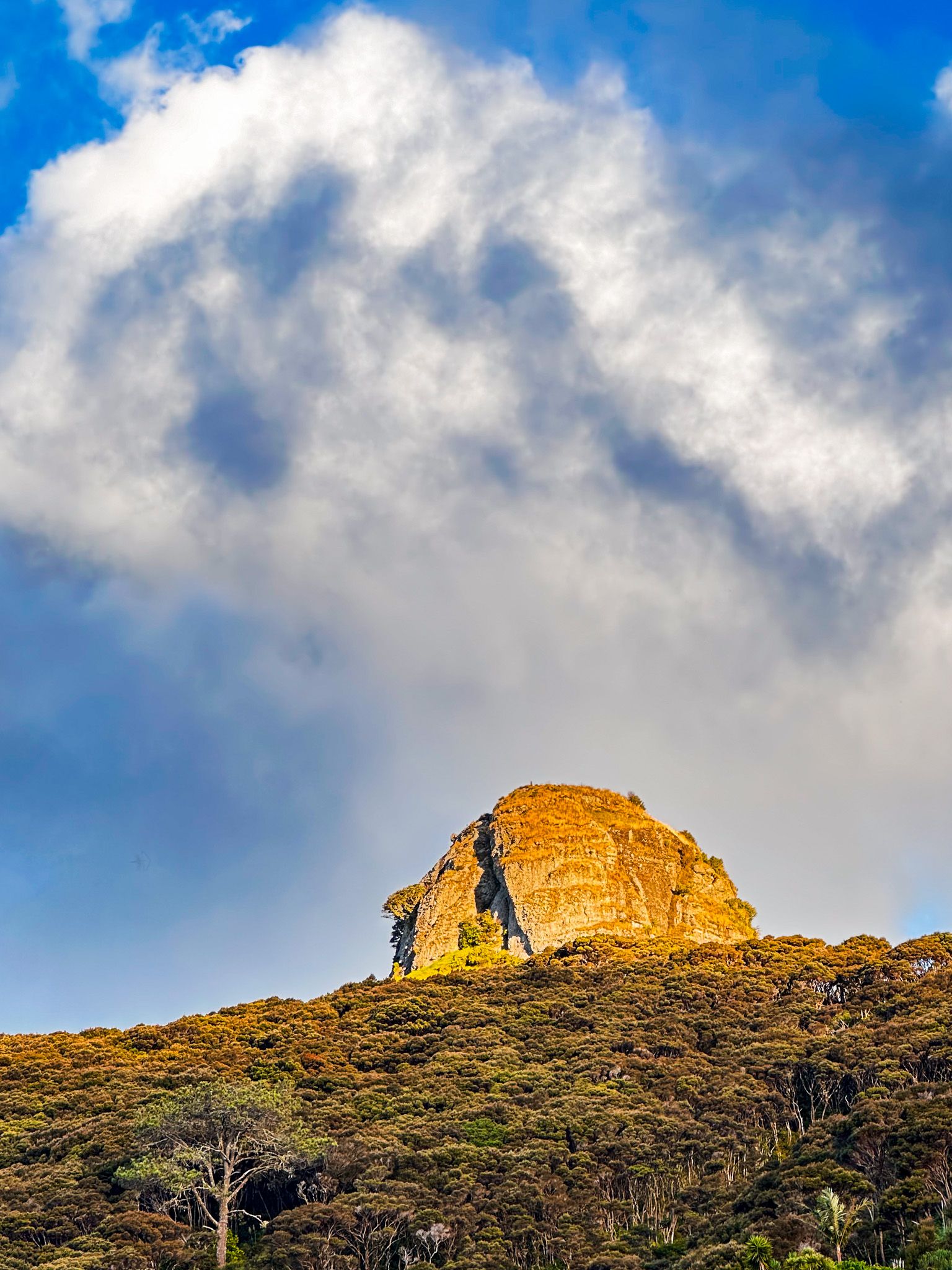
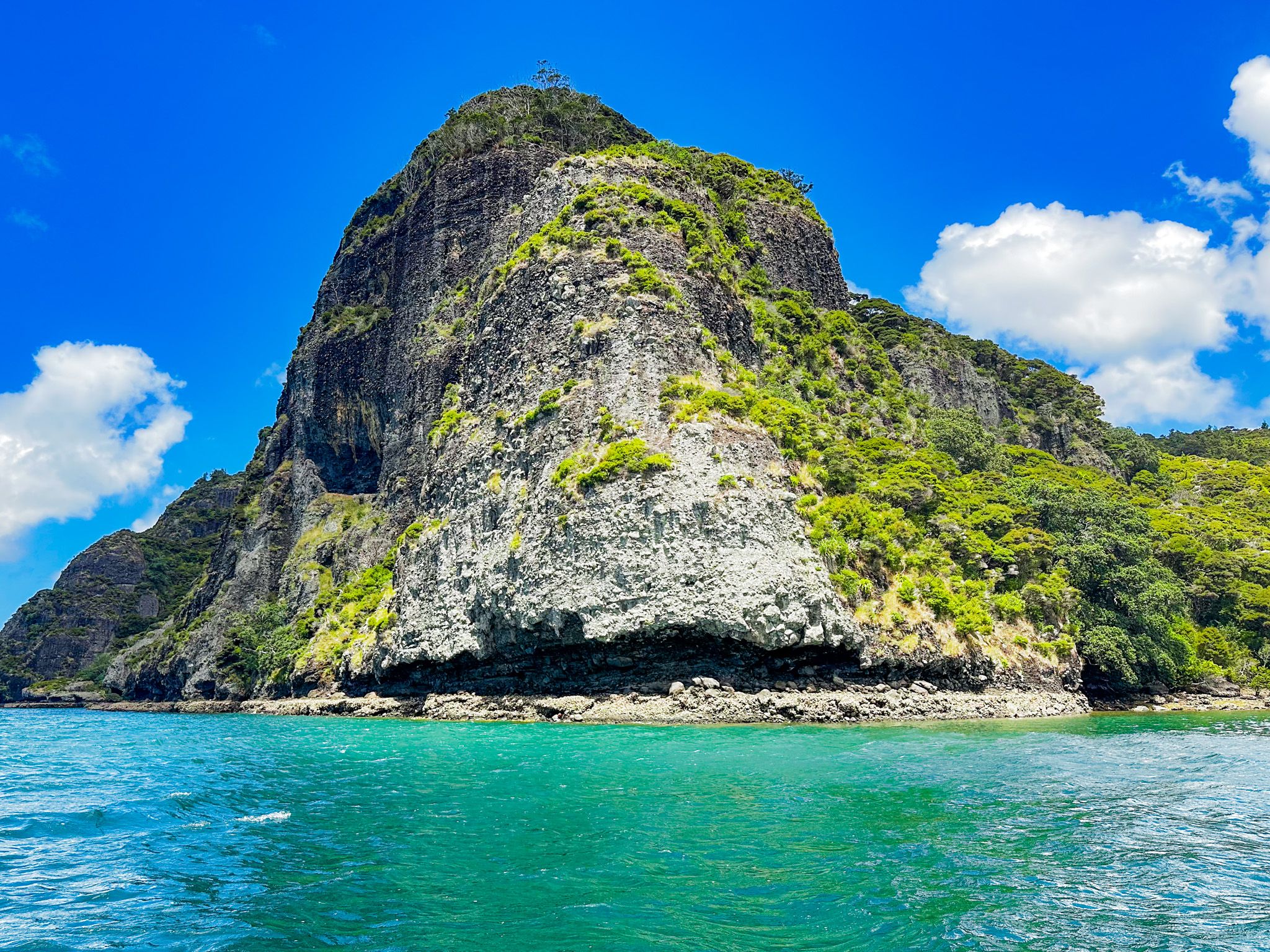
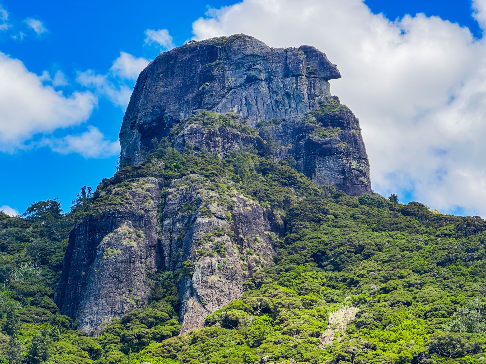
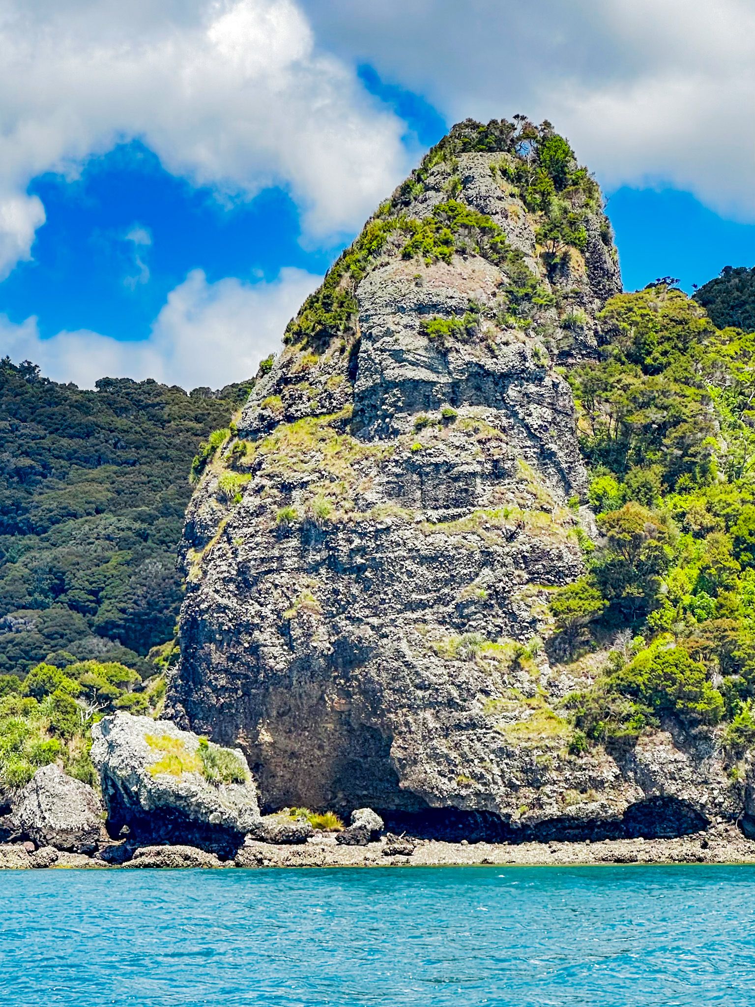
The harbour's unique landscape was shaped by volcanic eruptions from the Whangaroa Stratovolcano 15 to 20 million years ago. The eruptions and subsequent erosion formed a series of river valleys, which were later submerged due to rising sea levels around 6,000 years ago. This geological history has resulted in the stunning rock formations seen today, including Ohakiri / Saint Pauls, which towers at 213 metres above Whangaroa, and Kairara Rock / Dukes Nose, standing at 180 metres over Pekapeka Bay.
Exploring the Harbour
For those without a boat, exploring Whangaroa Harbour is accessible with water taxis or boat tours. Heading north from Whangaroa, you'll pass Kaheka Point and St Peters / Hopekako. After this, Milford (Wairaupo) Island and Peach (Ohauroro) Island lie to the east.
The harbour narrows past Takahi Point / The Haystack, leading to Pekapeka Bay. Lanes Cove in Pekapeka Bay offers access to the Kairara Rock/ Dukes Nose Track, a DOC hut at Lane Cove, and the north end of the Wairakau Stream Track to Totara North.
The harbour's narrow exit opens into Whangaroa Bay, facing the Pacific Ocean, with Tauranga Bay to the east and the rugged Kōwhairoa Peninsula to the west.
Māori Name and Historical Significance
The name means "what a long wait" and refers to the lament of a woman waiting for the return of her warrior husband.
Whangaroa Harbour holds a significant place in the early interactions between Māori and Europeans. By the early 1800s, whalers and traders were actively engaging with Māori in the area. However, in 1809, Ngāti Pou killed and cannibalised nearly all the approximately 70 crew and passengers of the brigantine Boyd during a visit. This act of utu (revenge) was in response to the mistreatment of a Māori boy, Te Ara, who was part of the ship's crew and the son of a local rangatira. The ship was then accidentally destroyed when warriors ignited its gunpowder stock.
There were only four survivors, including two small children, who were rescued by Alexander Berry on the ship City of Edinburgh. He negotiated their release by taking two local rangatira prisoners and exchanging them for the captives and the Boyd's papers.
In 1810, a revenge raid by European whalers and seamen mistakenly targeted the wrong iwi when they attacked the pā on Motu Apo Island in Wairoa Bay belonging to the rangatira Te Pahi. Ironically, Te Pahi had attempted to save some of the survivors from the Boyd. He, in turn, was killed when he led an utu-inspired attack against the actual transgressors. The word spread in Europe with a pamphlet describing the "that cursed shore" of New Zealand. These incidents delayed further ship visits and the visit of the first missionary to NZ, Samuel Marsden, until 1814.
A Wesleyan mission station was established near Kaeo in 1823, but in 1827, Hongi Hika launched an attack on the local iwi from Tauranga Bay to gain control of he burgeoning timber trade, during which his warriors sacked the Kaeo mission station. The missionaries fled to Sydney, and Hongi Hika, a major protobonoist of the Musket Wars era, was fatally wounded, dying in Whangaroa in 1828.
Post-Treaty Developments
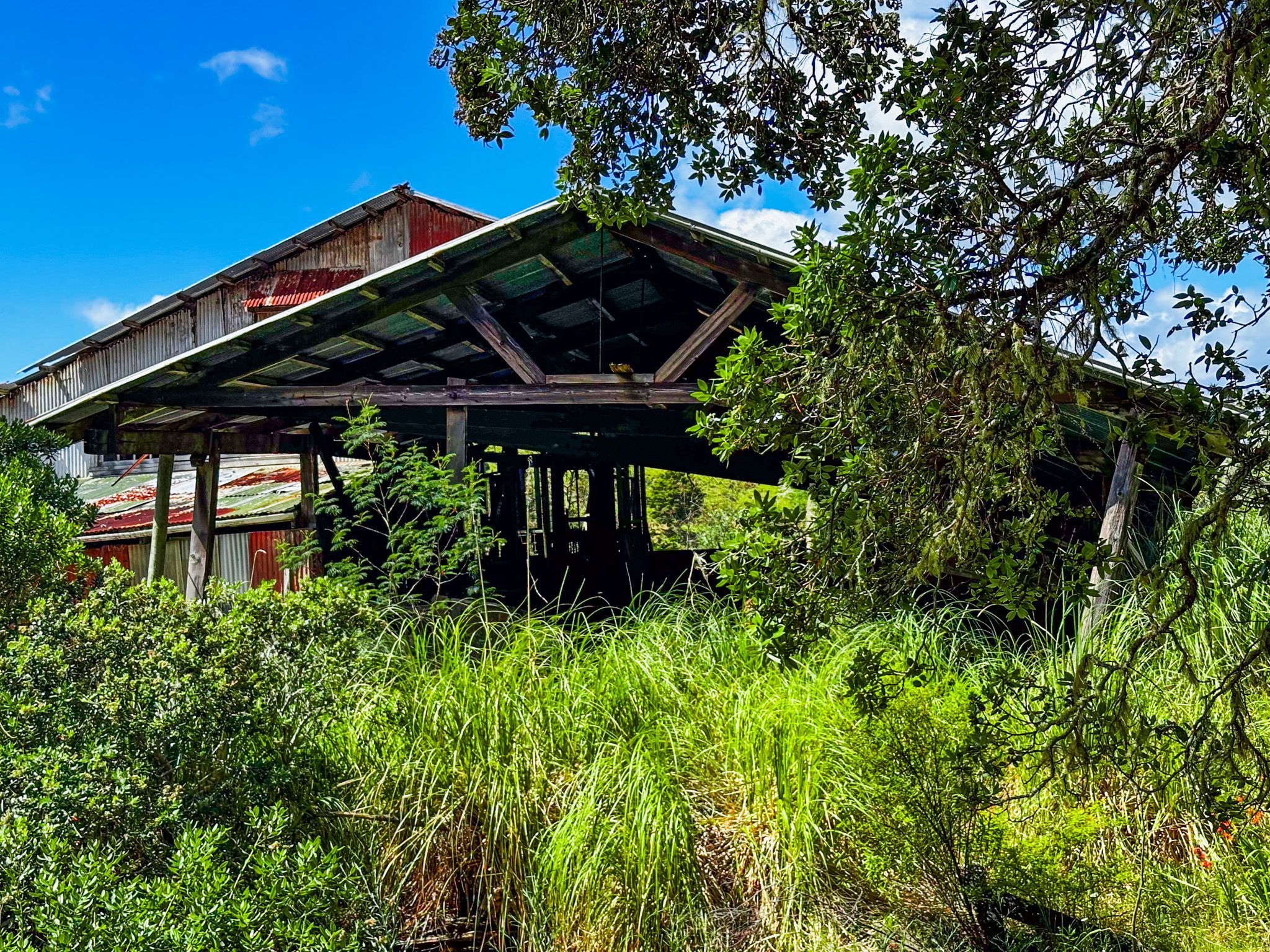
Following the Treaty of Waitangi, the European presence in the area increased, leading to the rapid development of timber and shipbuilding industries. Milling continued until the 1960s, and the remnants, including old sheds and an outdoor museum, can be found near Totara North.
Getting to Whangaroa Harbour
The town of Whangaroa on the east side of the harbour is accessible via Whangaroa Road, located 6 km from State Highway 10 northwest of Kaeo.
The area is also the western end of scenic Wainui Road, which connects several coastal communities with beautiful bays and beaches, including Tauranga Bay, Mahinepua, Te Ngaere, and Matauri Bay.