Exploring Whanganui Inlet
Whanganui Inlet is a vast and scenic inlet located on the northwest side of Golden Bay in New Zealand's South Island. This area has been a designated marine reserve since the 1990s, highlighting its ecological significance and natural beauty.
A Protected Environment
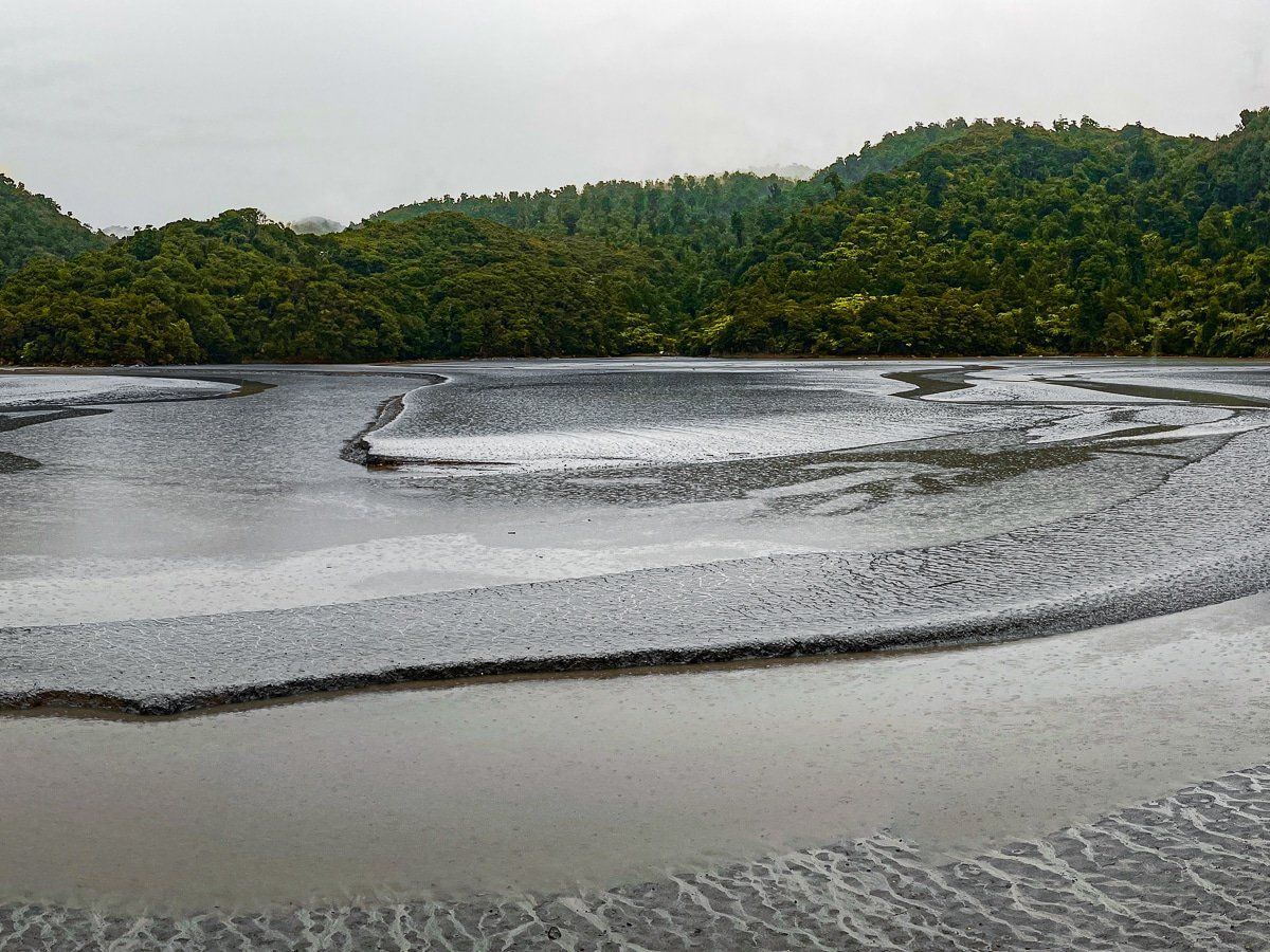
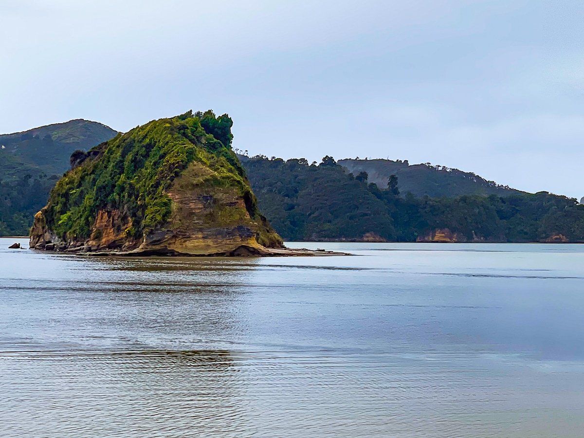
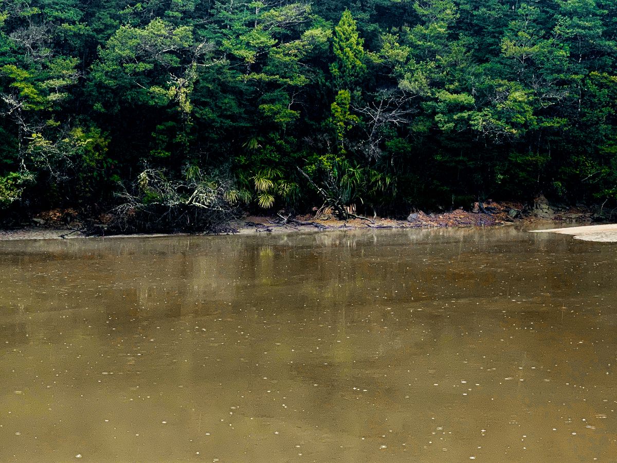
Whanganui Inlet / Westhaven (Te Tai Tapu) Marine Reserve is one of New Zealand’s largest and most intact estuarine ecosystems. Established in 1994, the reserve protects a mix of tidal flats, seagrass beds, salt marshes, and reefs that support diverse marine life, including snapper, kahawai, flatfish, and whitebait. It’s also a haven for birdlife, with species such as godwits, oystercatchers, and the rare banded rail thriving in the area.
The inlet is also significant to local iwi, including Ngāti Rārua, Ngāti Tama, and Te Ātiawa, who have long regarded it as a taonga and used its abundant resources for food gathering. Today, recreational activities like boating, kayaking and birdwatching are popular, though within the marine reserve, fishing and the taking of marine life are prohibited to protect its ecosystems.
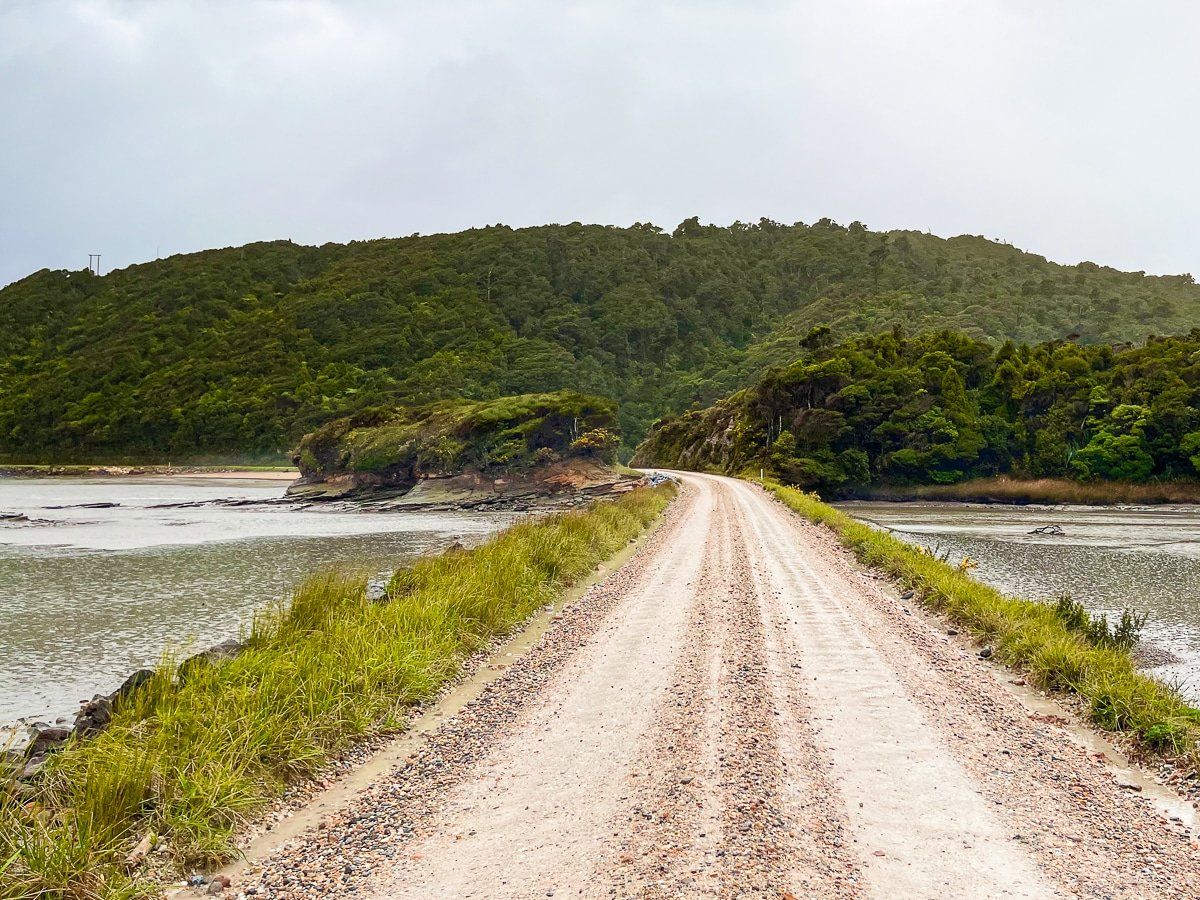
Journey Along Dry Road
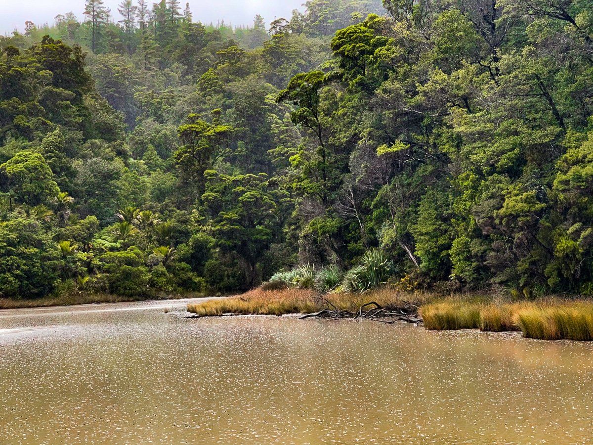
To explore the Whanganui Inlet, start your trip from Pakawau Bush Road and turn left onto Dry Road. This route runs along the southeast side of the inlet, which is adorned with native forest. The road stretches for about 20 km and skirts the boundary of Kahurangi National Park. Approximately 15 km along Dry Road, you will find the access road to the Knuckle Hill Track on your left. If you choose to hike this track, allocate about 90 minutes each way.
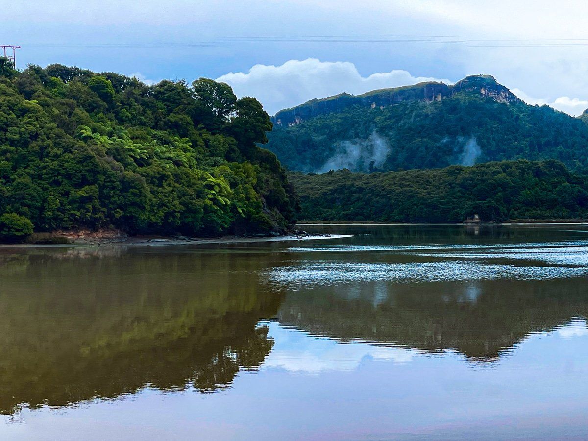
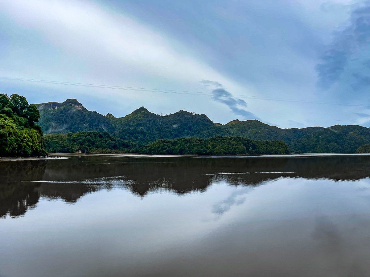
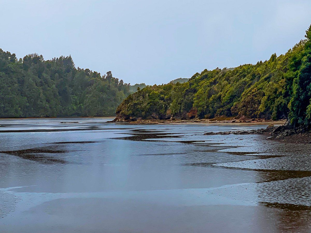
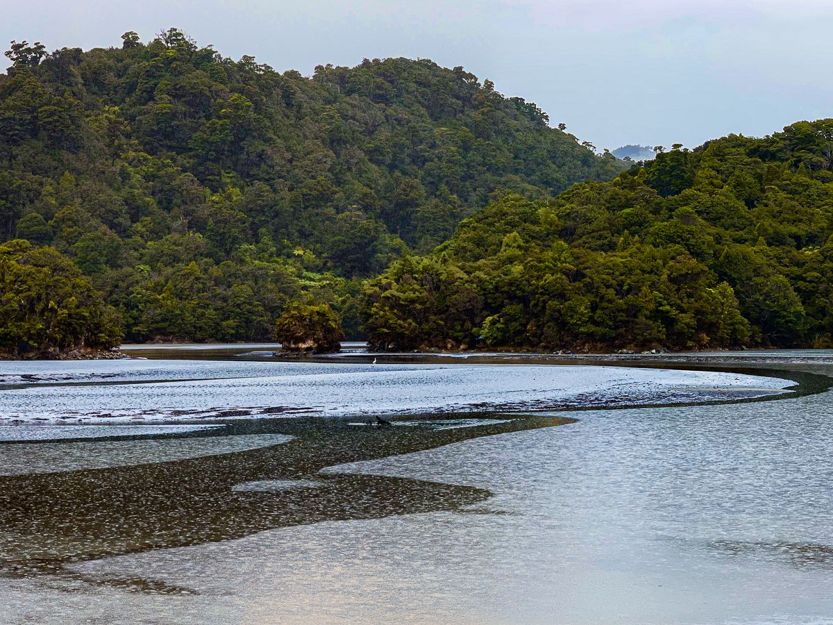
Scenic Viaducts and Remote Beauty
The inlet is crossed by several viaducts, providing opportunities to stop safely and take in the views. You are unlikely to see anyone else, and the area has a remote and magical atmosphere, especially when low clouds and rain add to its mystique.
How to Get There
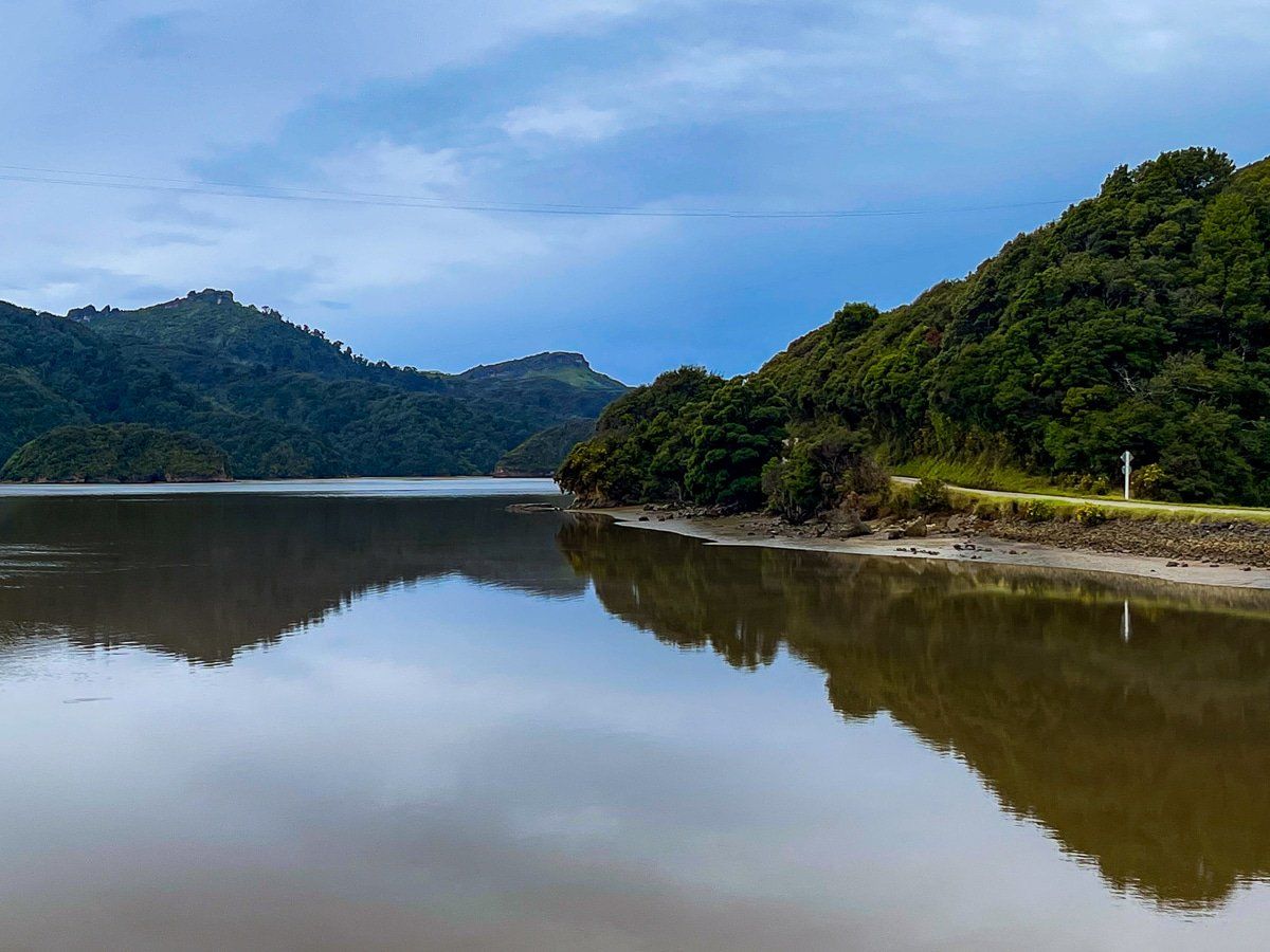
From Collingwood, follow the Collingwood Puponga Main Road, then turn west into Pakawau Bush Road, which takes you to gravel Dry Road. This part of the drive takes 21 minutes and is 20 km, while Dry Road along the inlet runs for about 16 km.
If you continue on Dry Road, you will discover even more remote Paturau River, Lake Otuhie and Anatori. Another closer option is to follow Kaihoka Lakes Road to the pretty twin Kaihoka Lakes.