Twizel: Hydro Town to High-Country Base
Twizel is a town on the open plain of the Mackenzie Basin, surrounded by snow-fed rivers and canals, alpine lakes and distant peaks. It’s a natural stop on the inland route between Christchurch and Queenstown, and an ideal base for exploring Aoraki Mount Cook and the wider Mackenzie Country. Initially built in the 1960s to house workers on the Mackenzie hydro scheme, Twizel has grown into a laid-back hub for travellers, cyclists, fishers and stargazers.
How Twizel Got its Name
Twizel takes its name from the nearby Twizel River, which flows southeast from the Ben Ōhau Range into the Mackenzie Basin. The river was named in the 1800s by surveyor John Thomson, who borrowed the name from Twizel Bridge in Northumberland, England, his home region. The original English word Twizel (also spelt Twisla or Twizla) likely means a fork or division in a river, fitting for a braided river system like those in the Mackenzie.
Big Views, Glacial Water and Dark Skies
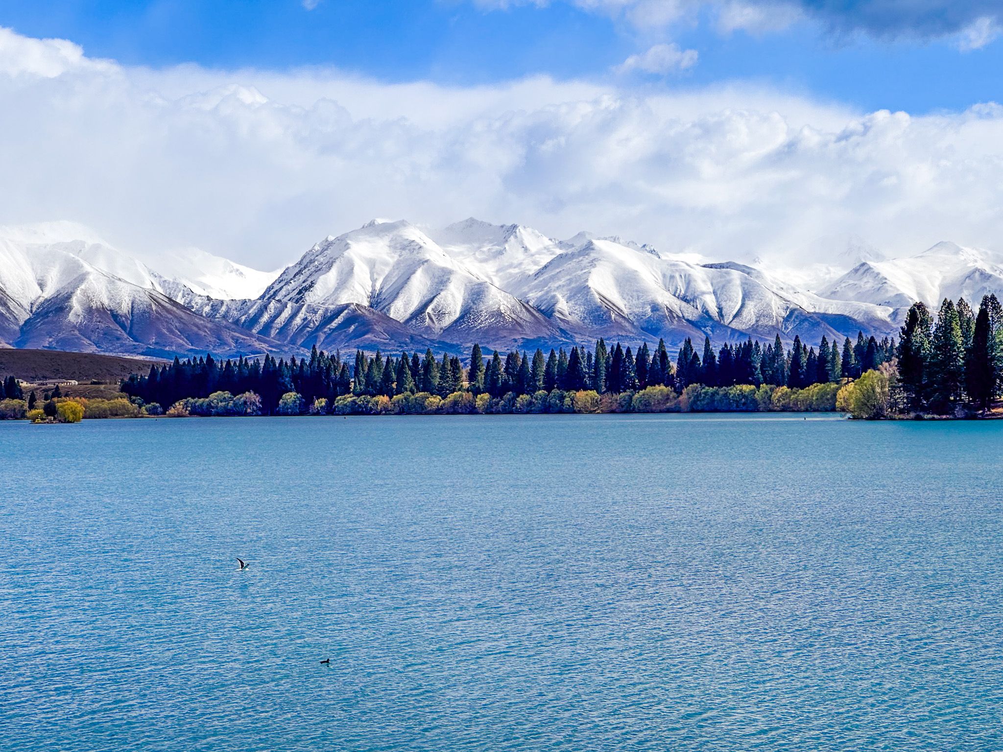
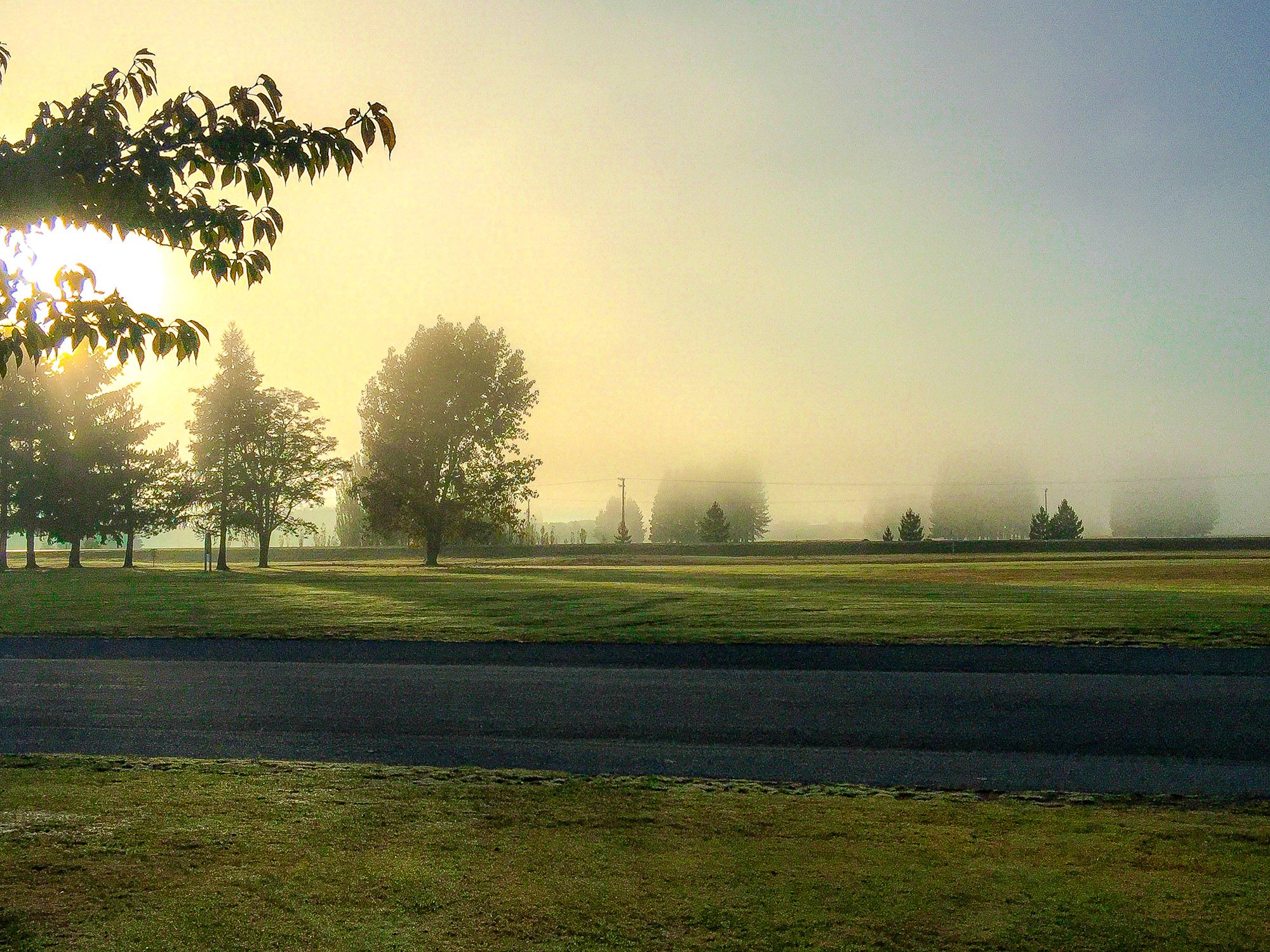
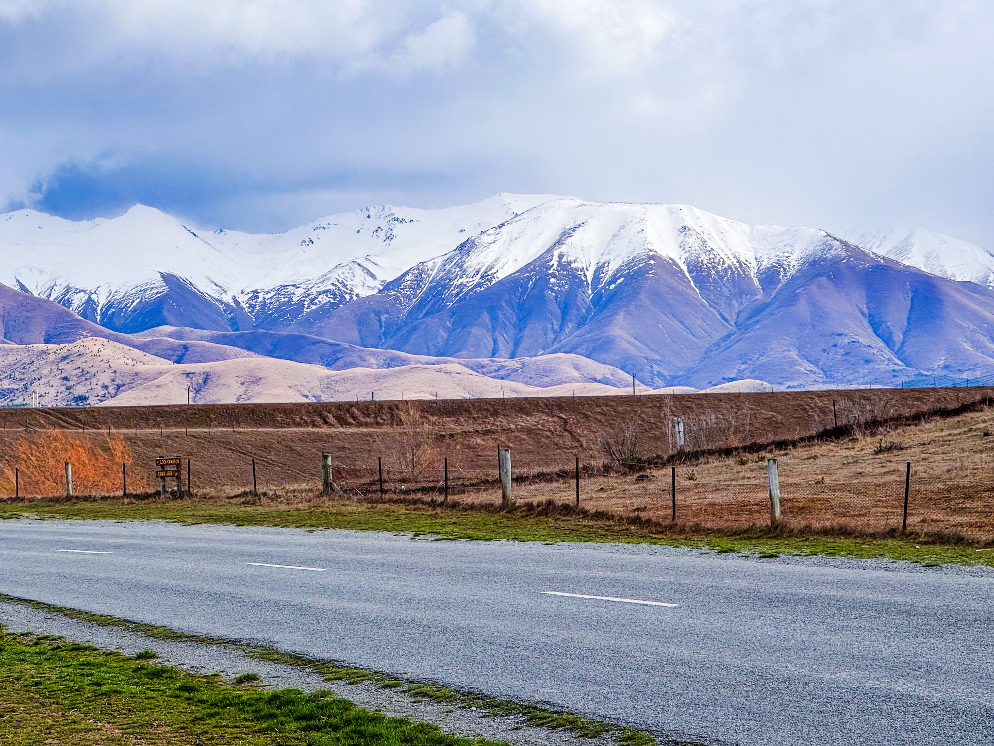
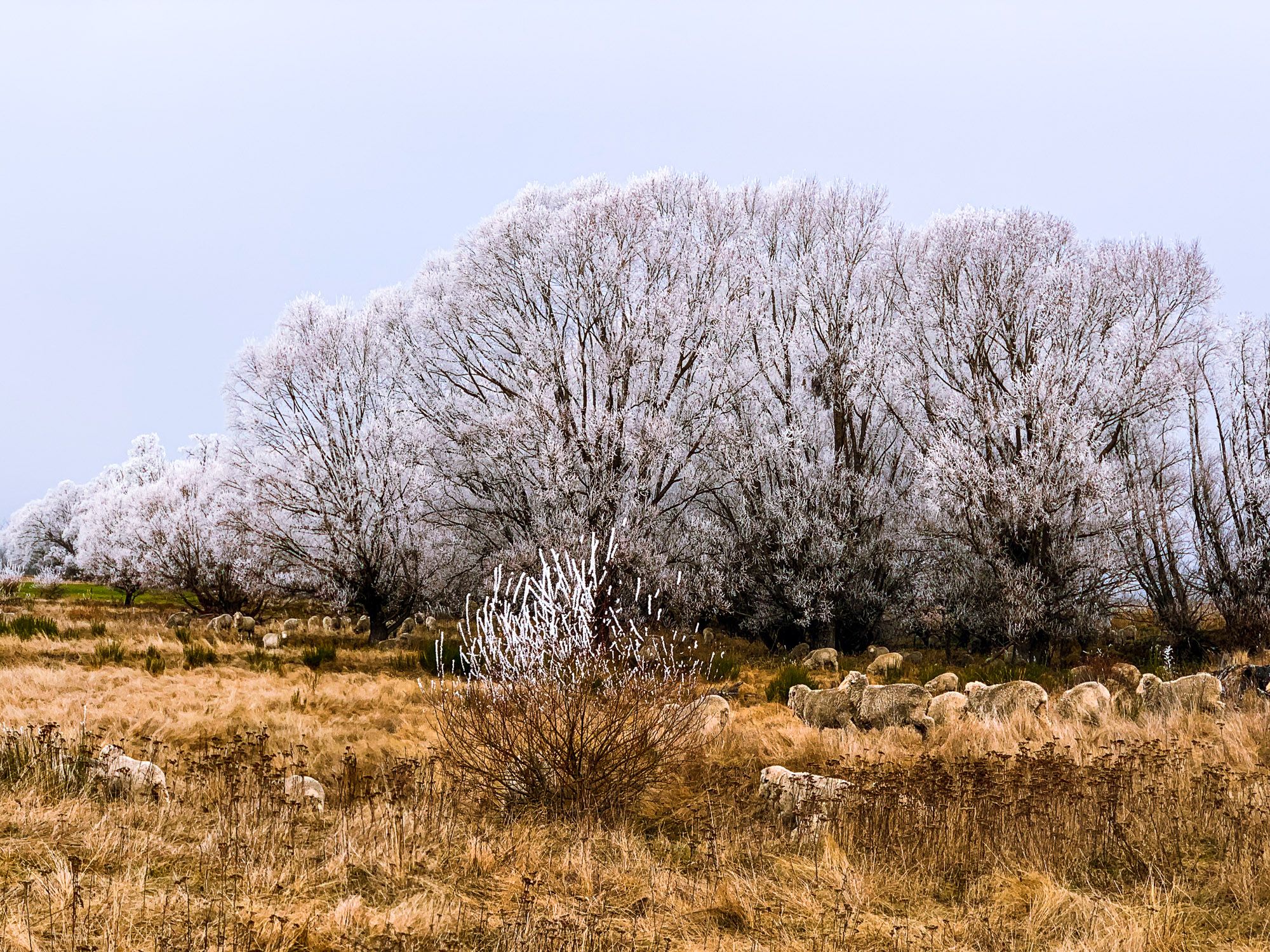
Twizel’s setting is pure Mackenzie: wide plains, golden hills, braided rivers and big sky. Glaciers and outwash flows shaped the landscape. In the distance to the north and east, beyond the hills, the mountains of the Southern Alps can be seen. In Winter, it is very cold, and can have a hoarfrost. In Summer, it can be one of the warmest places in NZ.
This town even has its own lake. Lake Ruataniwha was created between 1977 and 1981 as both a power reservoir for the hydro scheme and subsequently became a popular recreational playground. It's ideal for swimming, kayaking, and picnics and has become a centre for rowing events and training. There is a commercial campsite and freedom camping at the north end of the lake. Beyond the lake, you’ll find trout-filled canals and a cycling track.
For dark-sky seekers, Twizel lies within the Aoraki Mackenzie International Dark Sky Reserve. There is minimal nighttime light pollution and ideal conditions for astrophotography or late-night stargazing.
Walks, Water, and Two-Wheeled Touring
Twizel is a key stop on the Alps 2 Ocean Cycle Trail, with the route running along the canals to Lake Ōhau, then to Omarama and the Waitaki Valley. Closer to town, trails circle Lake Ruataniwha and explore the Ōhau River margins. Anglers cast from canal edges or drift boats on the lake.
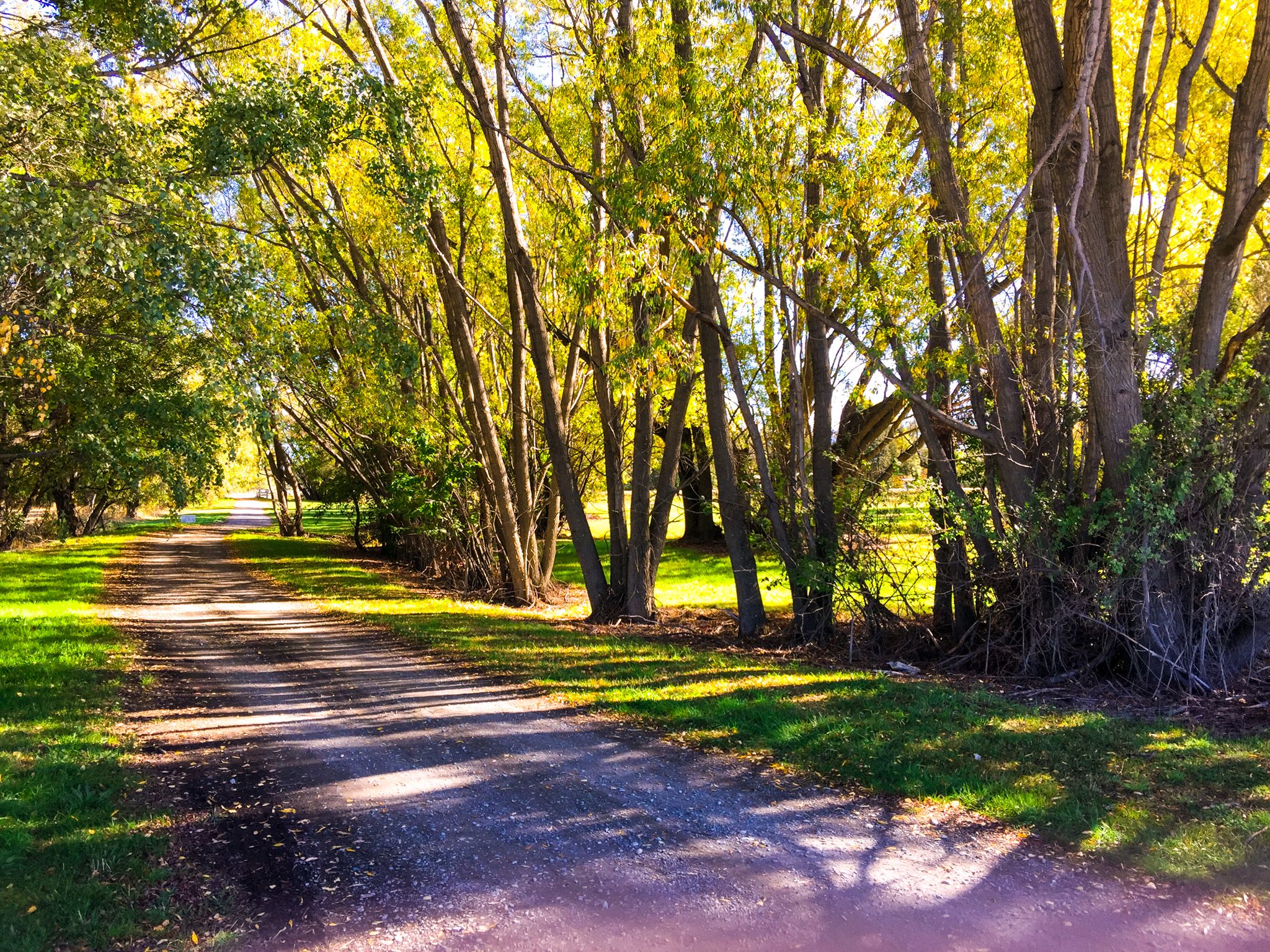
Twizel also acts as a base for day trips, including hikes in Aoraki Mt Cook National Park, and ski touring on the Tasman Glacier. In autumn, poplars and willows around the lake turn gold.
A Town Built for Work, Now Made for Living
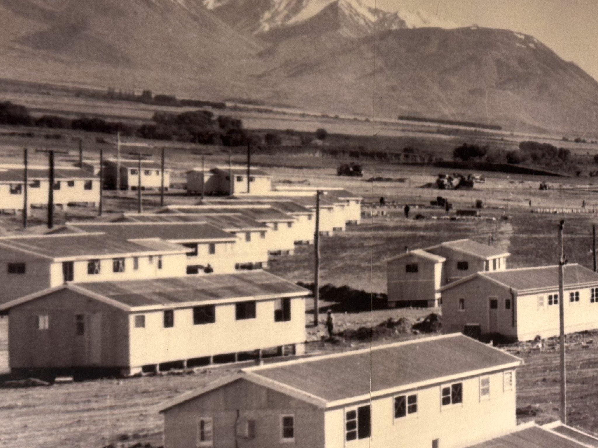
Twizel was founded in 1968 to house workers on the Upper Waitaki hydroelectric scheme — a purpose-built town with prefabricated homes and wide greenways. By the mid-1970s, up to 6,000 people lived here, supporting the construction of canals, tunnels and dams.
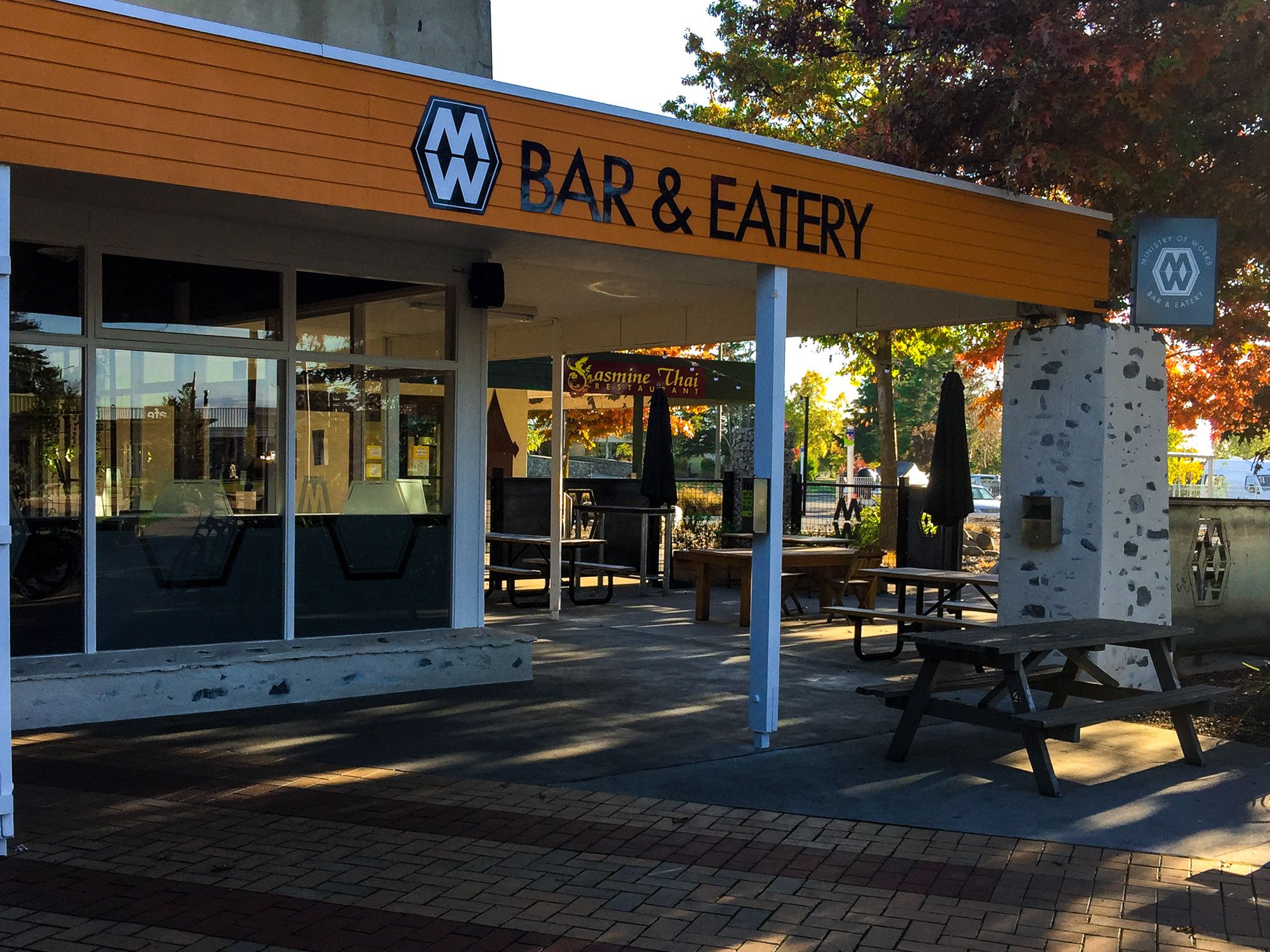
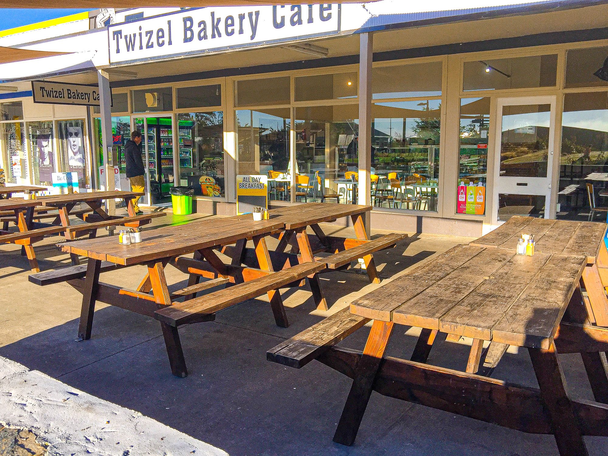
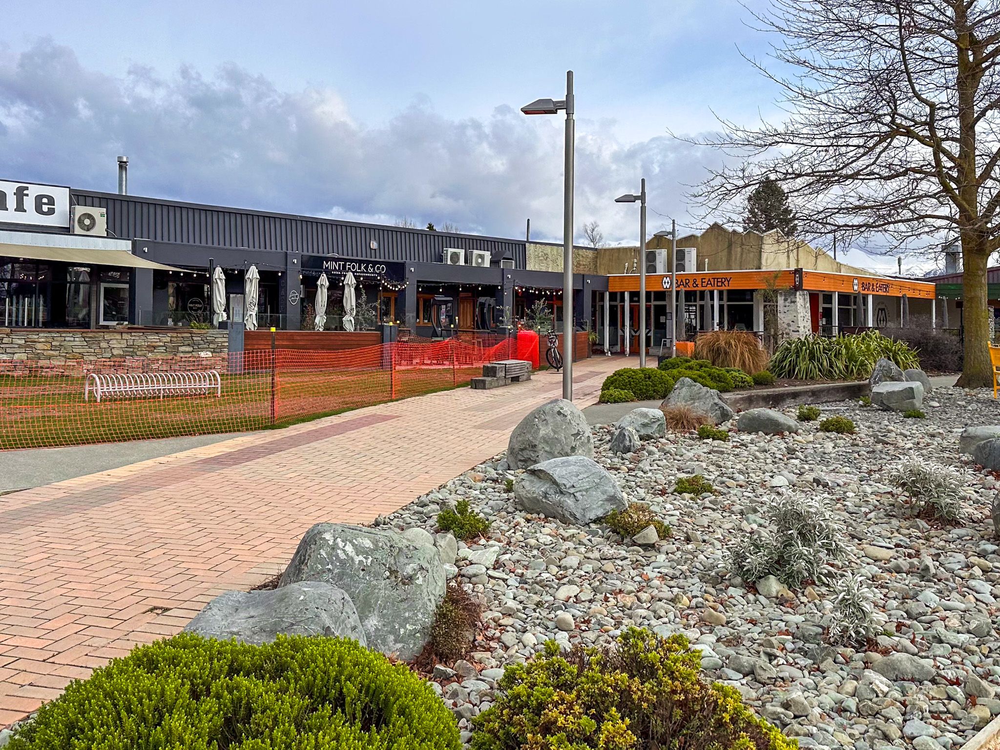
Originally designed to be dismantled, the town was saved by its residents after the project ended. Locals fought to keep it, and in the 1980s, Twizel transitioned into a permanent community, increasingly shaped by tourism and an outdoor lifestyle, with expansion towards the lake. Original hydro-era homes mix with modern builds, and the town’s easygoing layout continues to appeal.
How to Get There
Twizel is located on State Highway 8. From Christchurch, take State Highway 1 and State Highway 79 to Fairlie, via Geraldine. From Fairlie, follow State Highway 8 to Twizel, about 286 km and 3.5 hours. From Queenstown, take State Highway 6 to Cromwell, then State Highway 8 all the way to Twizel, about 200 km and 2.5 hours.
The town lies just 10 minutes south of Lake Pukaki and a few minutes from the Mount Cook Road. Nearby places to visit include Lake Benmore, the Clay Cliffs, Lake Tekapo, and Lake Benmore. At Aoraki, check out the Hooker Valley, Tasman Lake and Sealy Tarns.