Unique Heritage of the Waitaki Valley
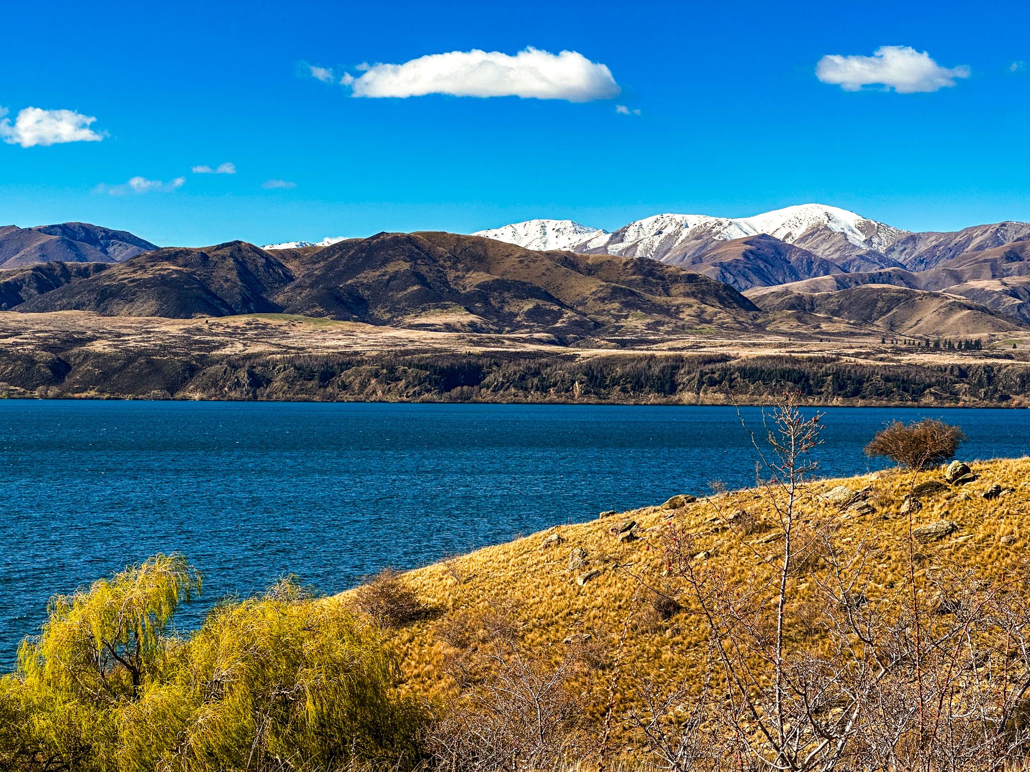
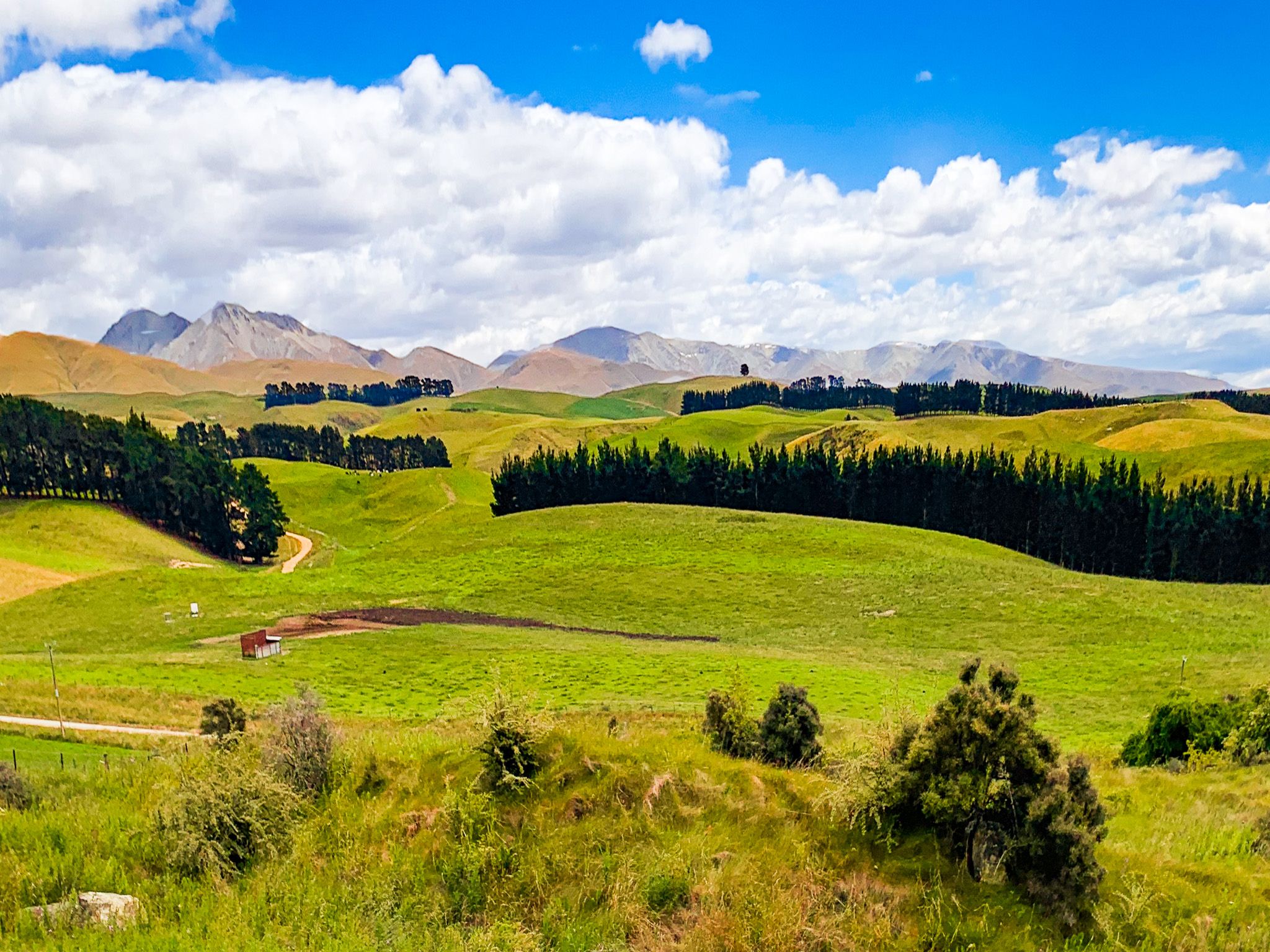
The Waitaki Valley flows east from the foothills of the Southern Alps, carrying water to the Pacific Ocean through a corridor of high-country dams, river terraces, karst cliffs and cultural landmarks. The valley stretches from Benmore Dam on the southeast edge of the Mackenzie Basin, and the head of the modern river, to the coast, north of Ōamaru. From the headwaters, the valley is surrounded by high mountains, and then the land flattens to rolling green hills with exposed white limestone cliffs. Along the way, you’ll find man-made hydro lakes and dams, campsites, vineyards, Māori rock art, fossil beds, and a natural gallery of eroded “whitestone” formations interspersed with sheep and cows.
A River Between Mountains and Hills
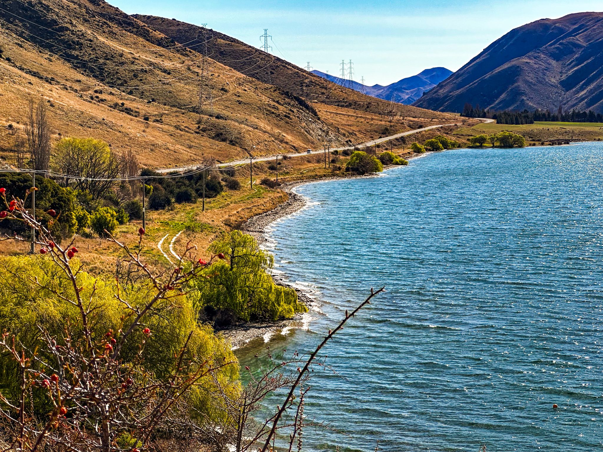
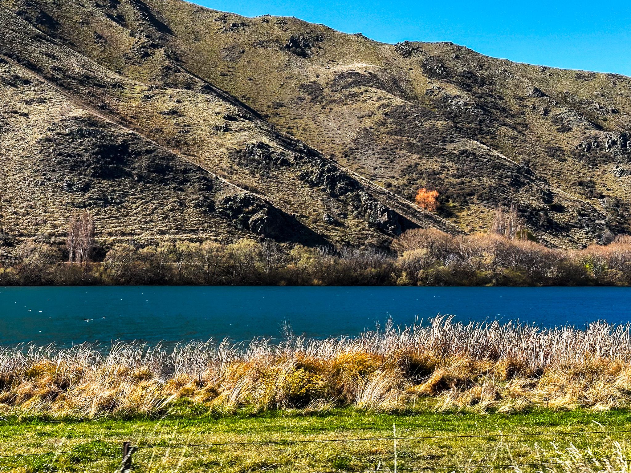
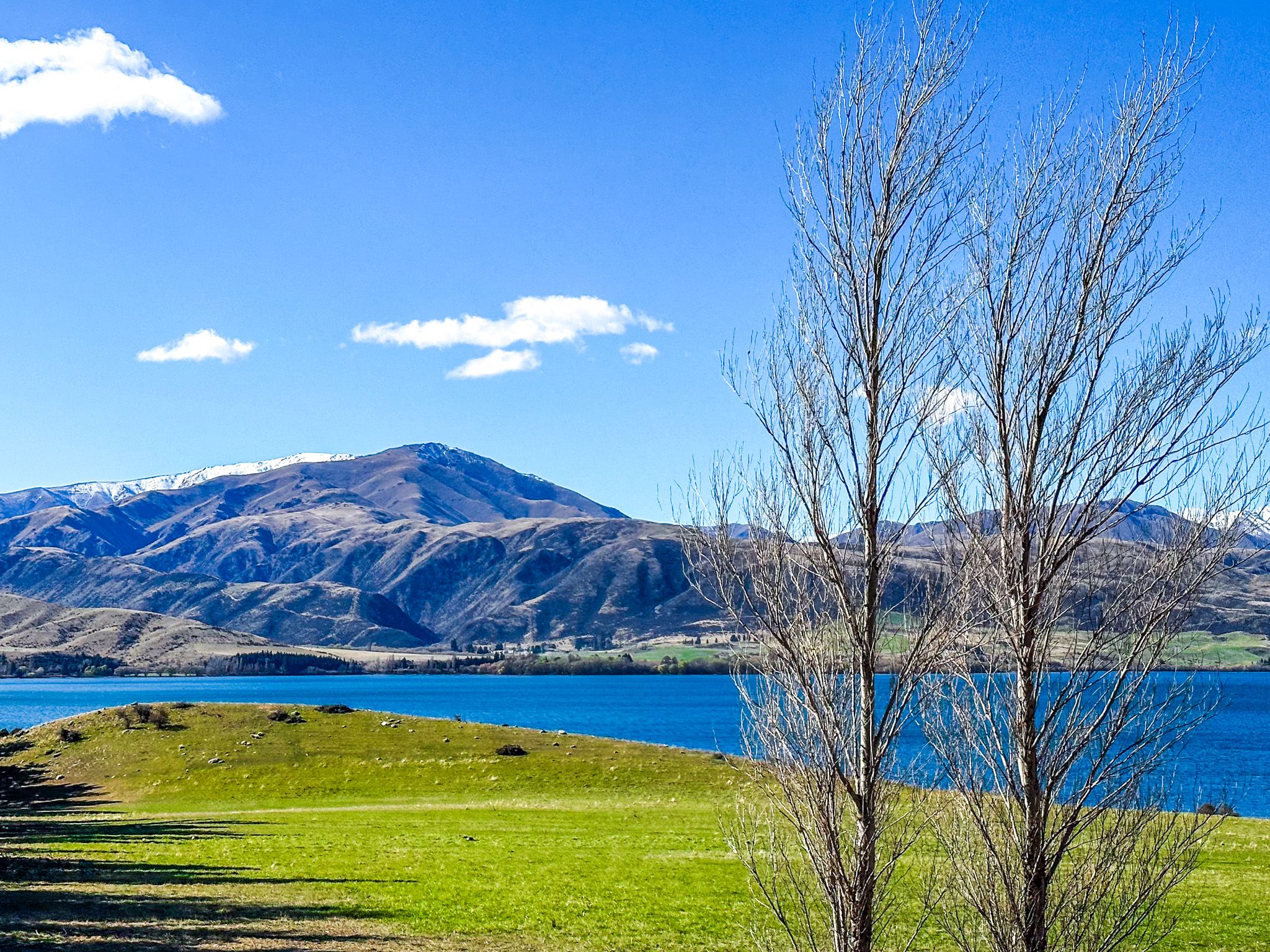
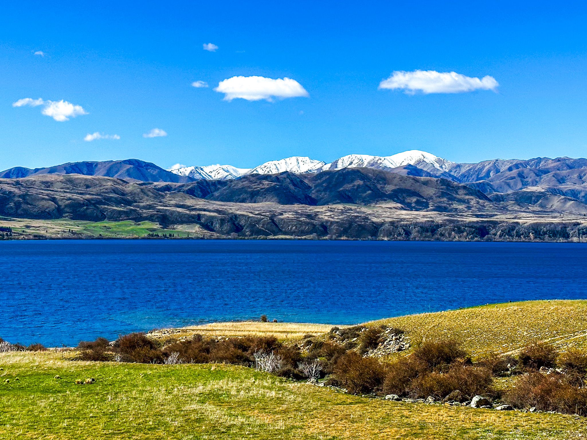
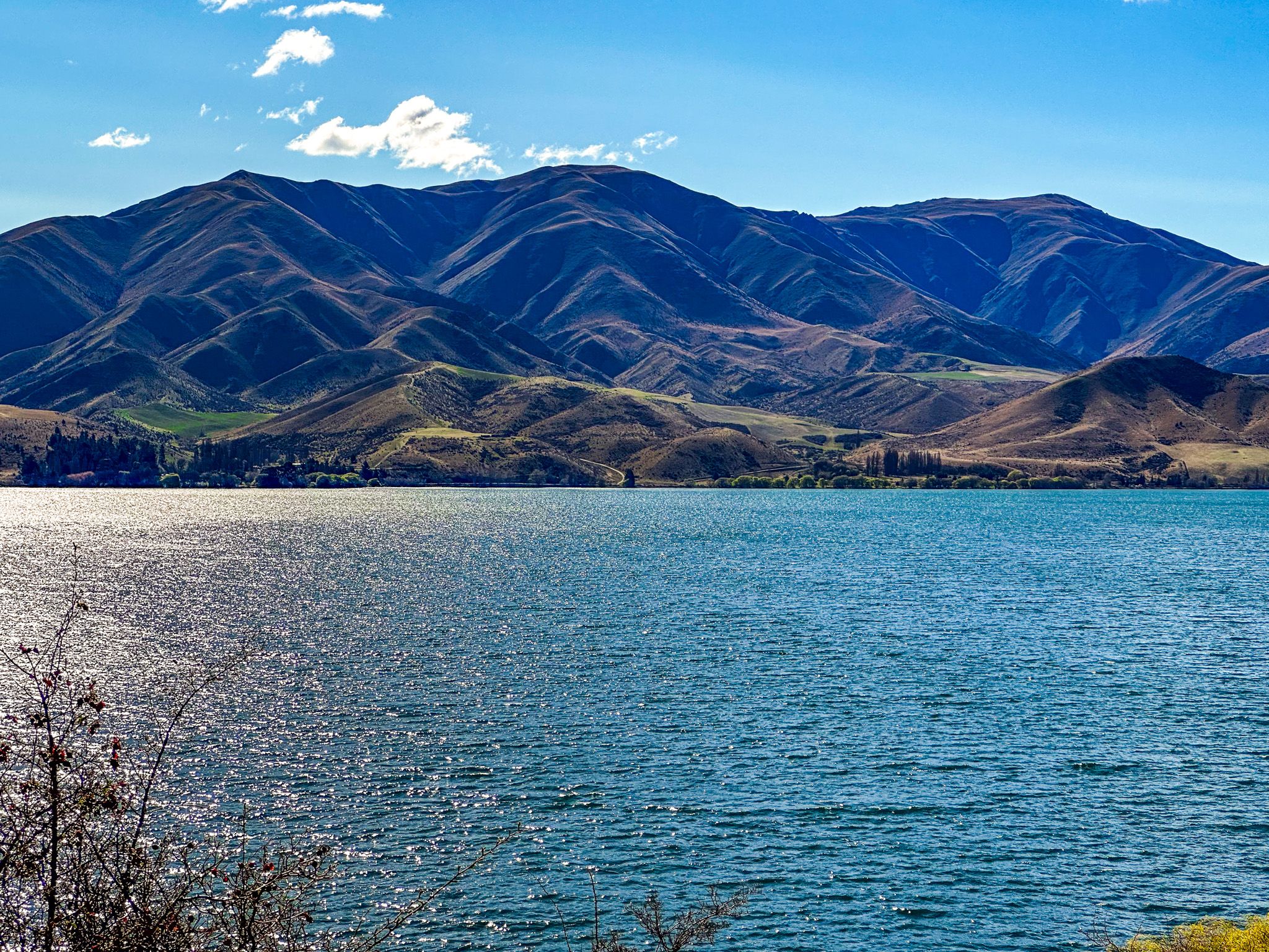
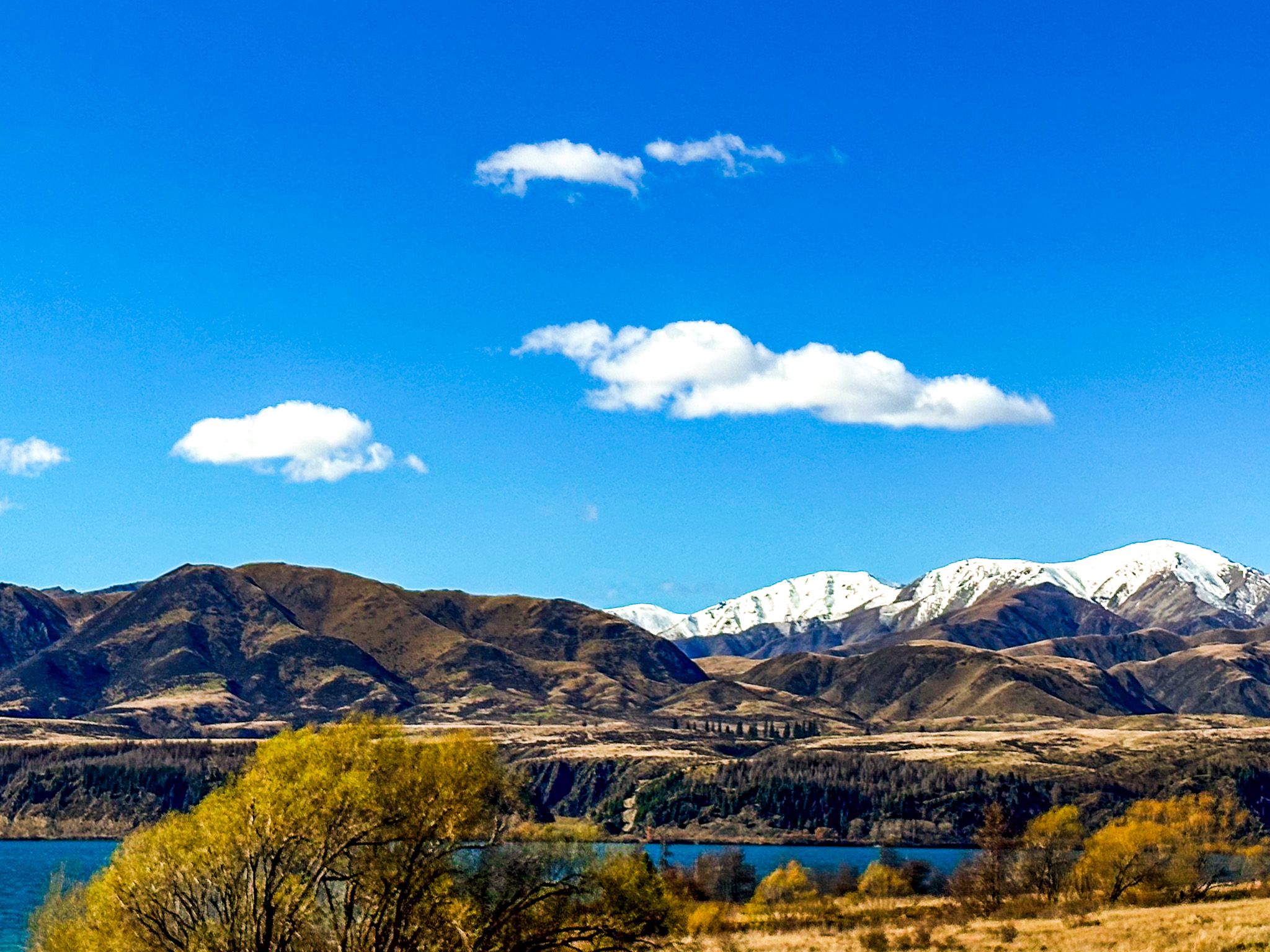
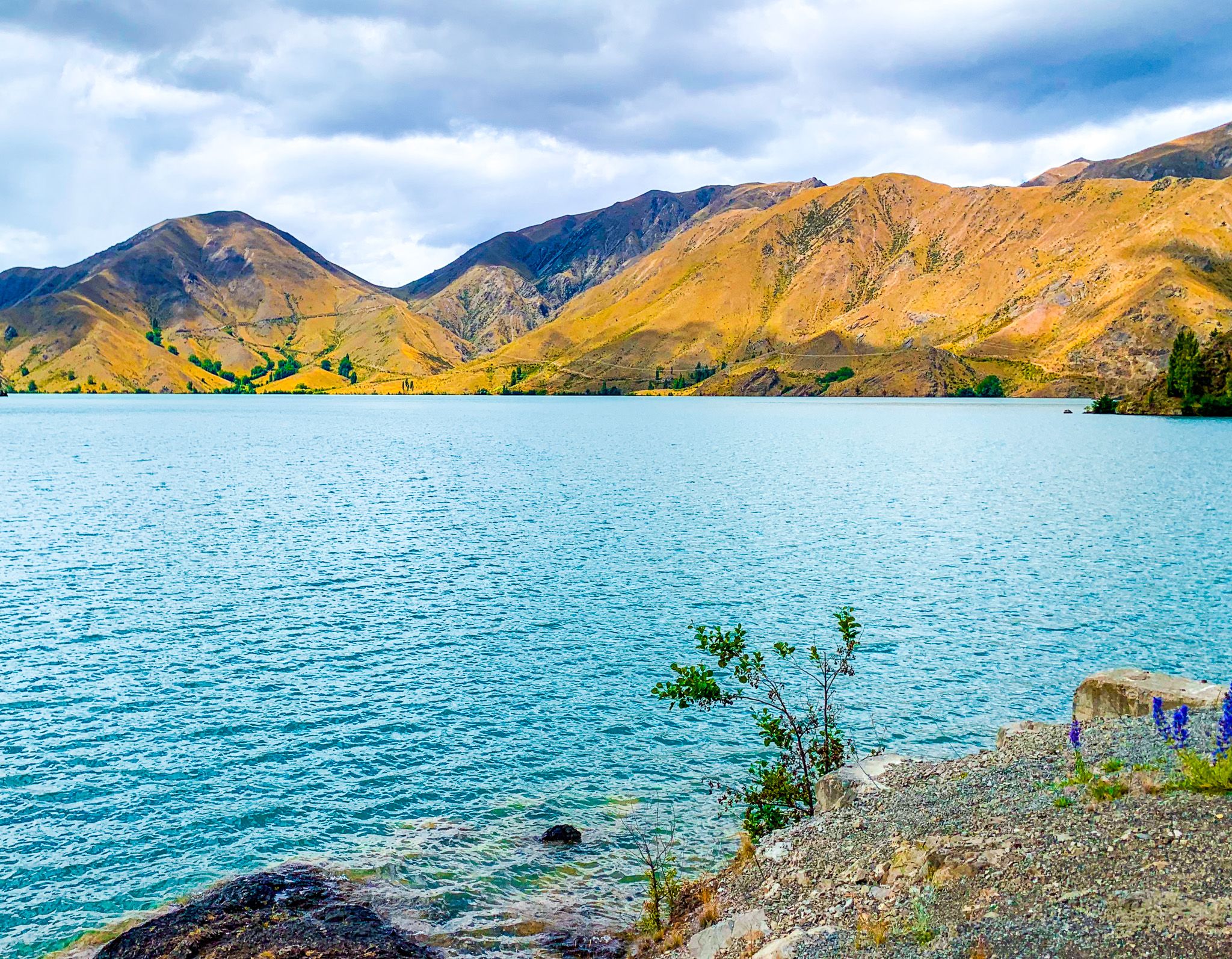
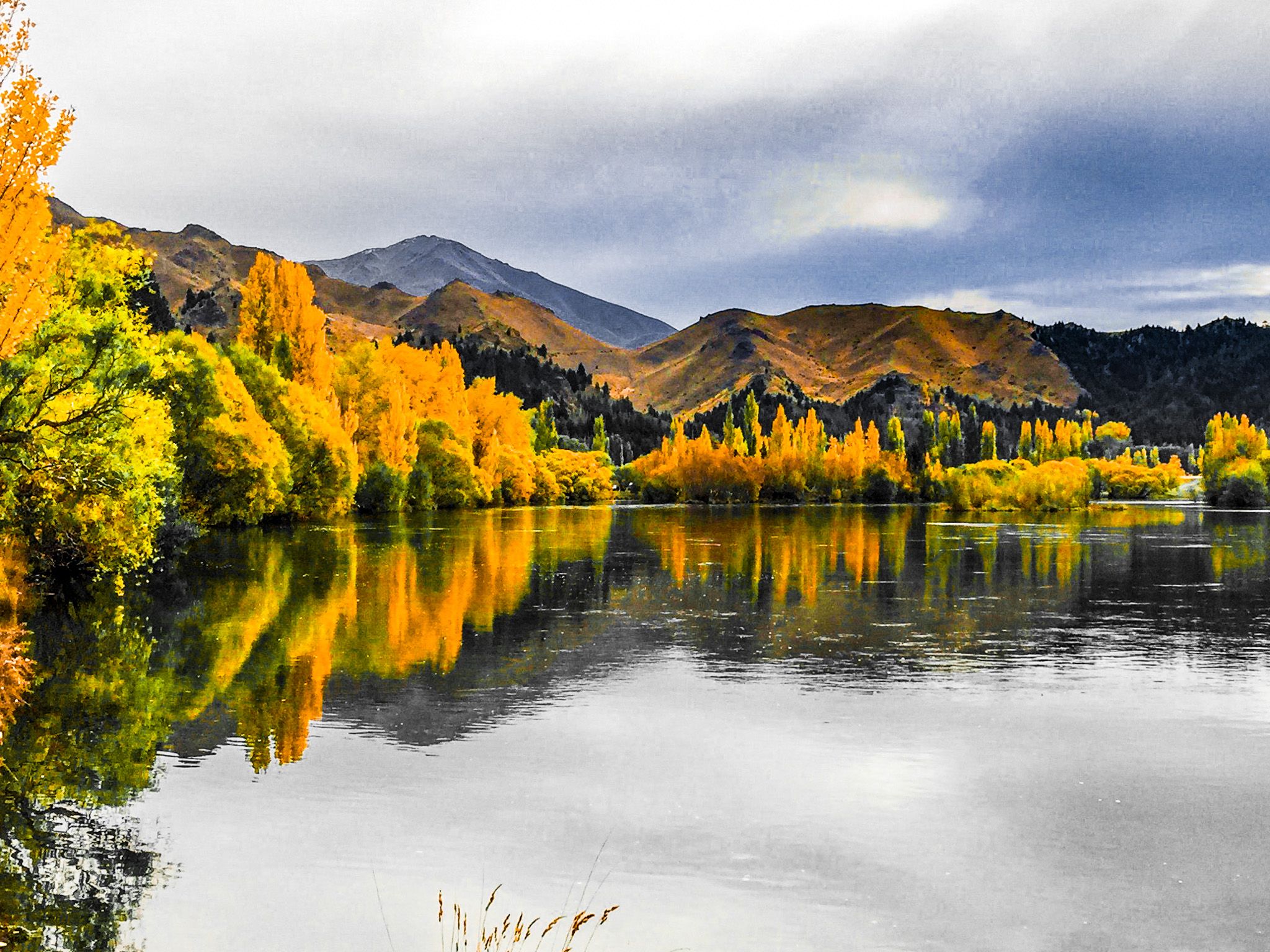
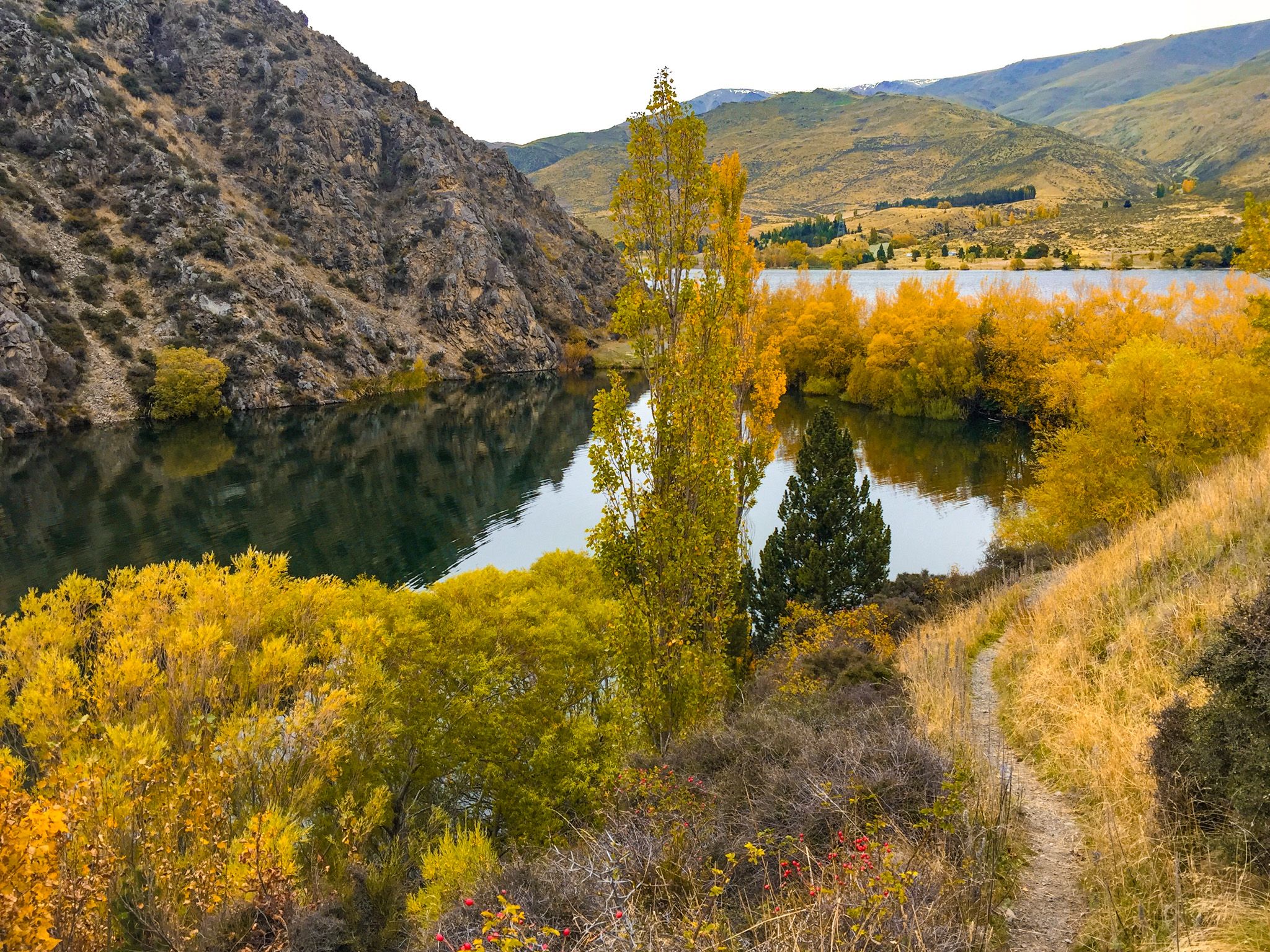
The Waitaki River’s 100 km modern journey to the Pacific Ocean begins at Benmore Dam, the final water collection point of the enormous Mackenzie Basin hydro scheme. From there, the river flows into Lake Aviemore, then into Lake Waitaki. Two ridgelines bound the river and lakes: to the north, foothills rise to around 800 metres; to the south, peaks like Mount Domett reach 1,300 metres above sea level. These dry brown and gold highlands are a stark contrast to the green rolling farmland of the lower braided Waitaki River as it runs from Lake Waitaki to the coast.
The long, narrow corridor that defines the upper valley makes the river a natural axis for movement. The Alps 2 Ocean Cycle Trail and State Highway 83 both follow the river through this part of the landscape, linking the high country to the coast.
As you move east beyond Kurow, the hills begin to recede. The floodplain broadens towards Ōamaru on the coast, the land becomes more rolling with green pasture, and white limestone cliffs emerge, signs that you’ve entered the Whitestone region of North Otago.

The Waitaki Hydro Scheme
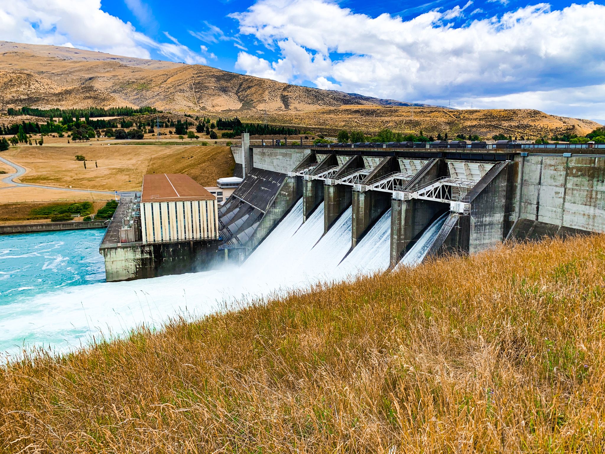
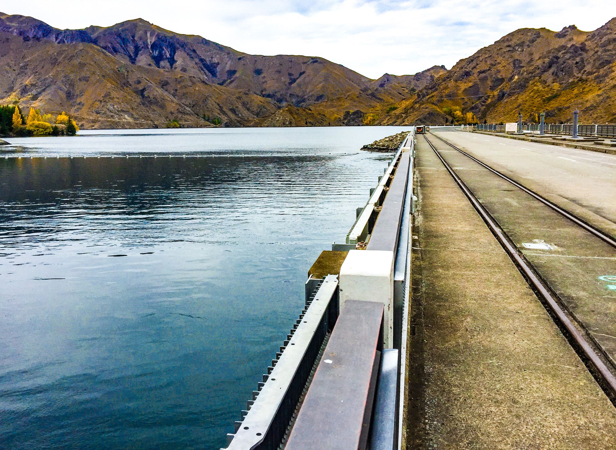
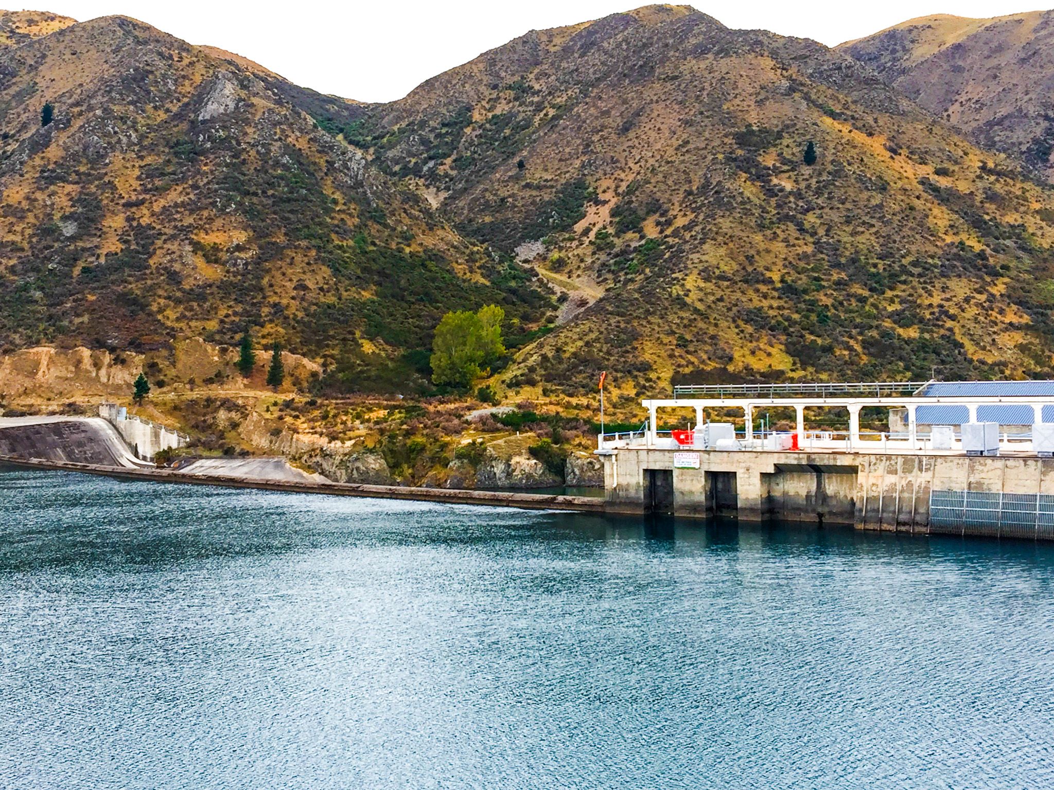
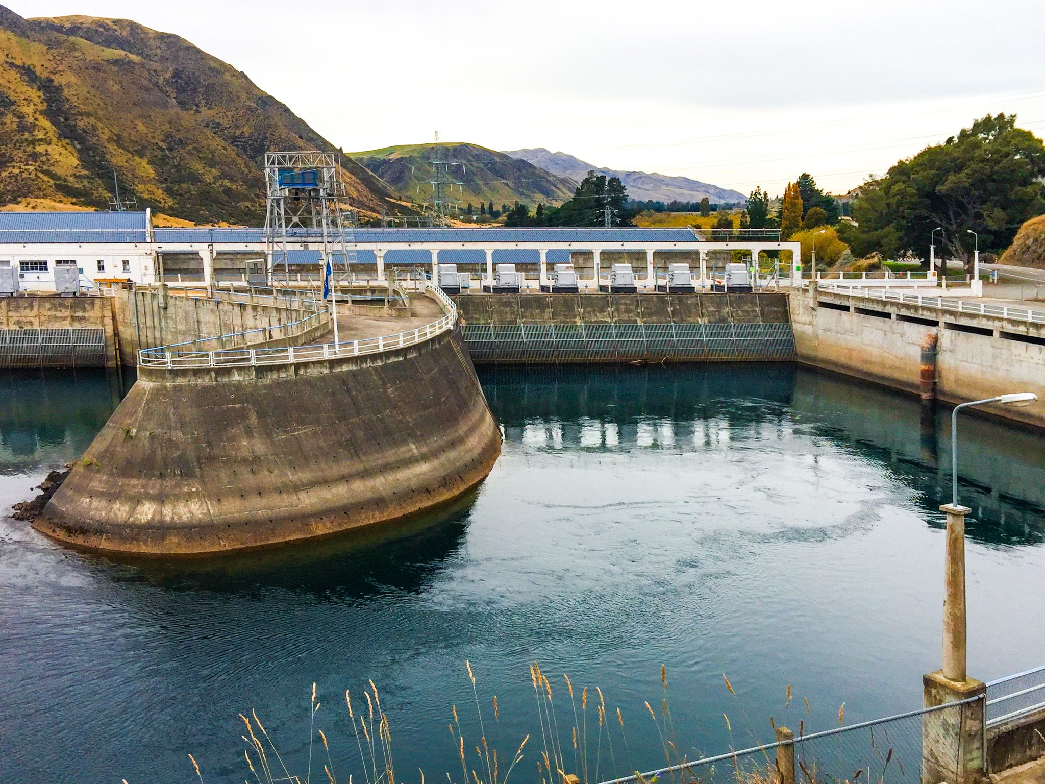
The upper Waitaki Valley is shaped not only by nature, but by one of New Zealand’s most significant hydroelectric developments. The Waitaki hydro scheme is the lower part of the massive alpine water collection and hydro scheme of the Mackenzie Basin. There are three dams and power stations in the Waitaki, adding to the five stations in the Mackenzie Country. Together, the two systems generate a substantial portion of Aotearoa’s renewable energy, while shaping the valley’s geography and recreational landscape.
Water from Lake Ōhau, Lake Pukakai and Lake Tekapo is routed via canals to Lake Ruataniwha, with another canal then taking the water to Lake Benmore, the largest artificial lake in New Zealand, created by Benmore Dam in 1965. Benmore marks the start of the modern Waitaki River and remains the linchpin of the system. Downstream, the river flows into Lake Aviemore, formed by Aviemore Dam in 1968, and then into Lake Waitaki, held back by Waitaki Dam, the oldest on the river, completed in 1935.
The lakes are popular for swimming, boating and camping, and the surrounding roads and trails offer access to dramatic water-and-mountain scenery. Campgrounds include: Loch Laird, Boat Harbour and Parsons Rock on the south side of the Waitaki River on SH 83, between Lakes Benmore and Aviemore; Briars Gully, Te Akatarawa, Lucerne Paddock, Waitangi West and Waitangi East on the north side of Lake Aviemore on Te Akatarawa Road, and Fishermans Bend on the north side of the river below Lake Aviemore. Waimate District manages this latter group, and additional information can be found here.
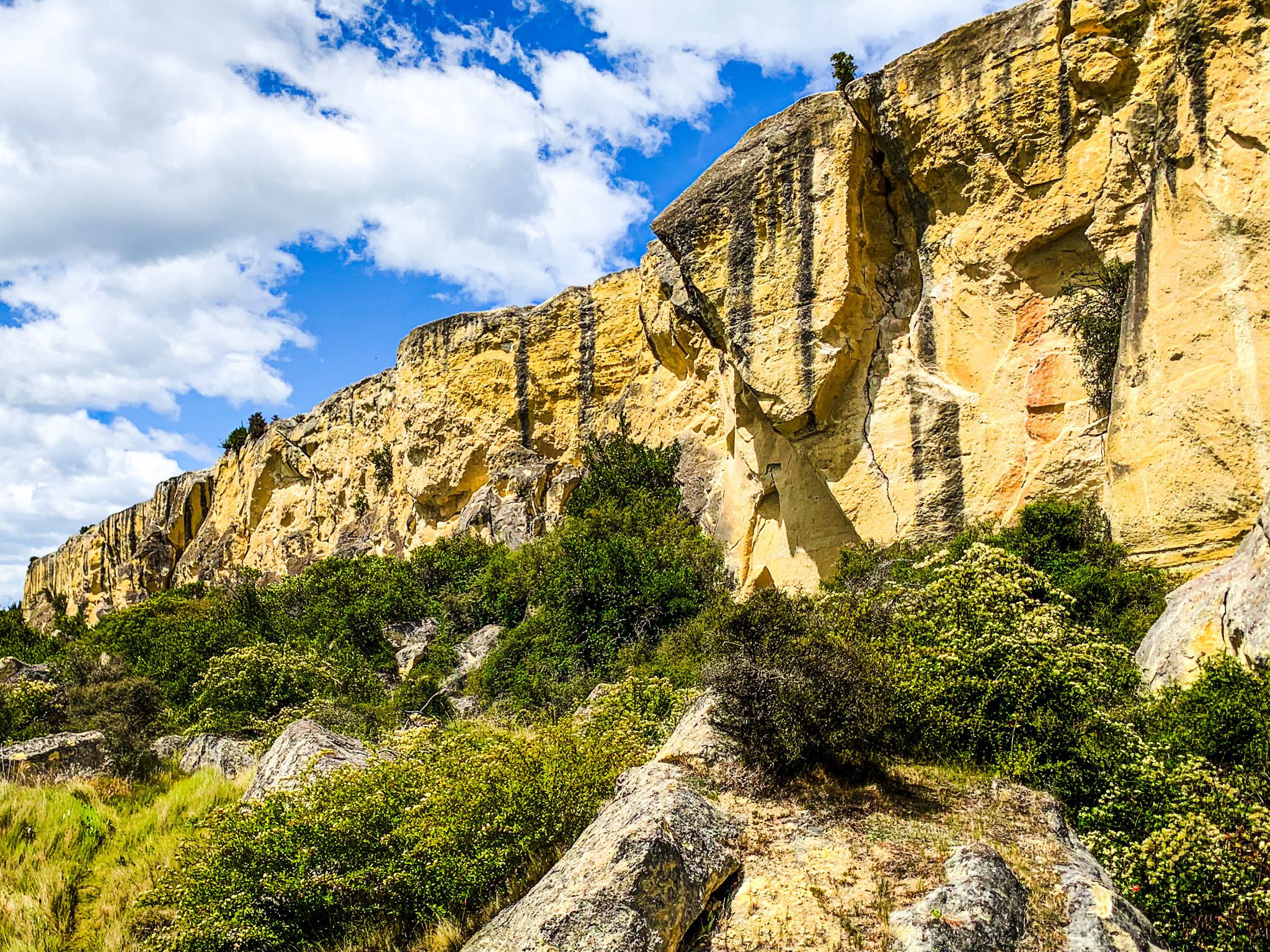
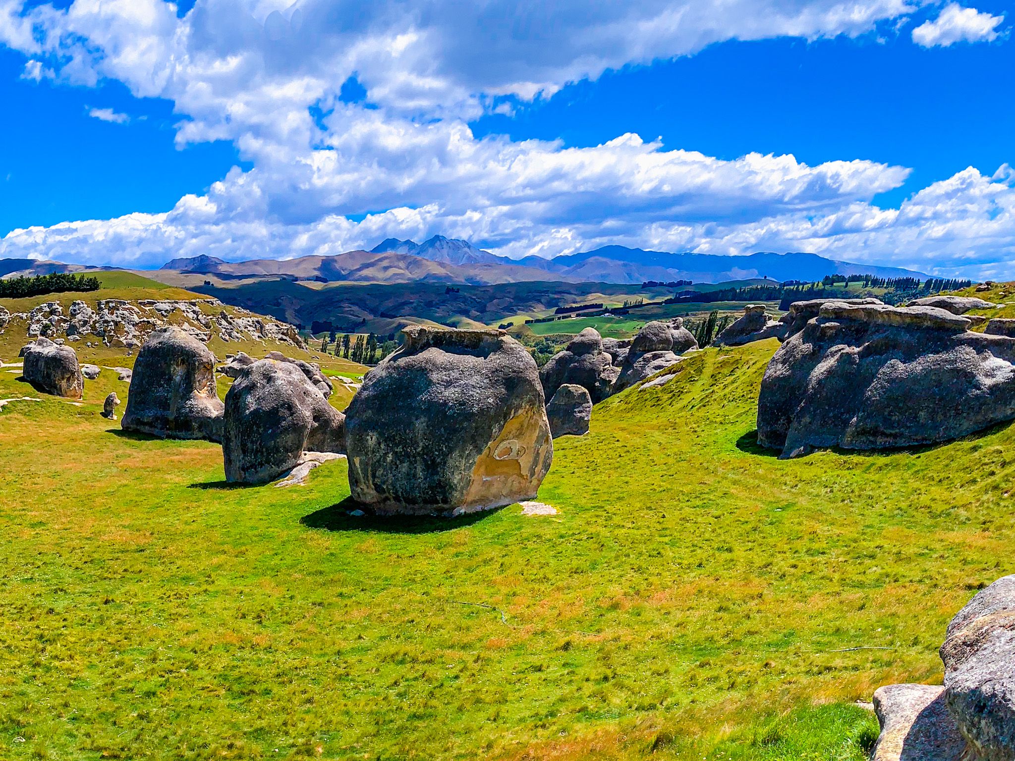
Fossil Beds, Rock Art and Karst Country
The Waitaki Valley is part of the Waitaki Whitestone UNESCO Global Geopark, a 7,200 km² region recognised for its unique geology, fossil record and cultural heritage. The park stretches from the Ahuriri Valley, along the Ahuriri River to the Waitaki Valley, then south to Kaitiki Beach, Trotters Gorge and Nenthorn. It links more than 40 geosites across inland and coastal landscapes.
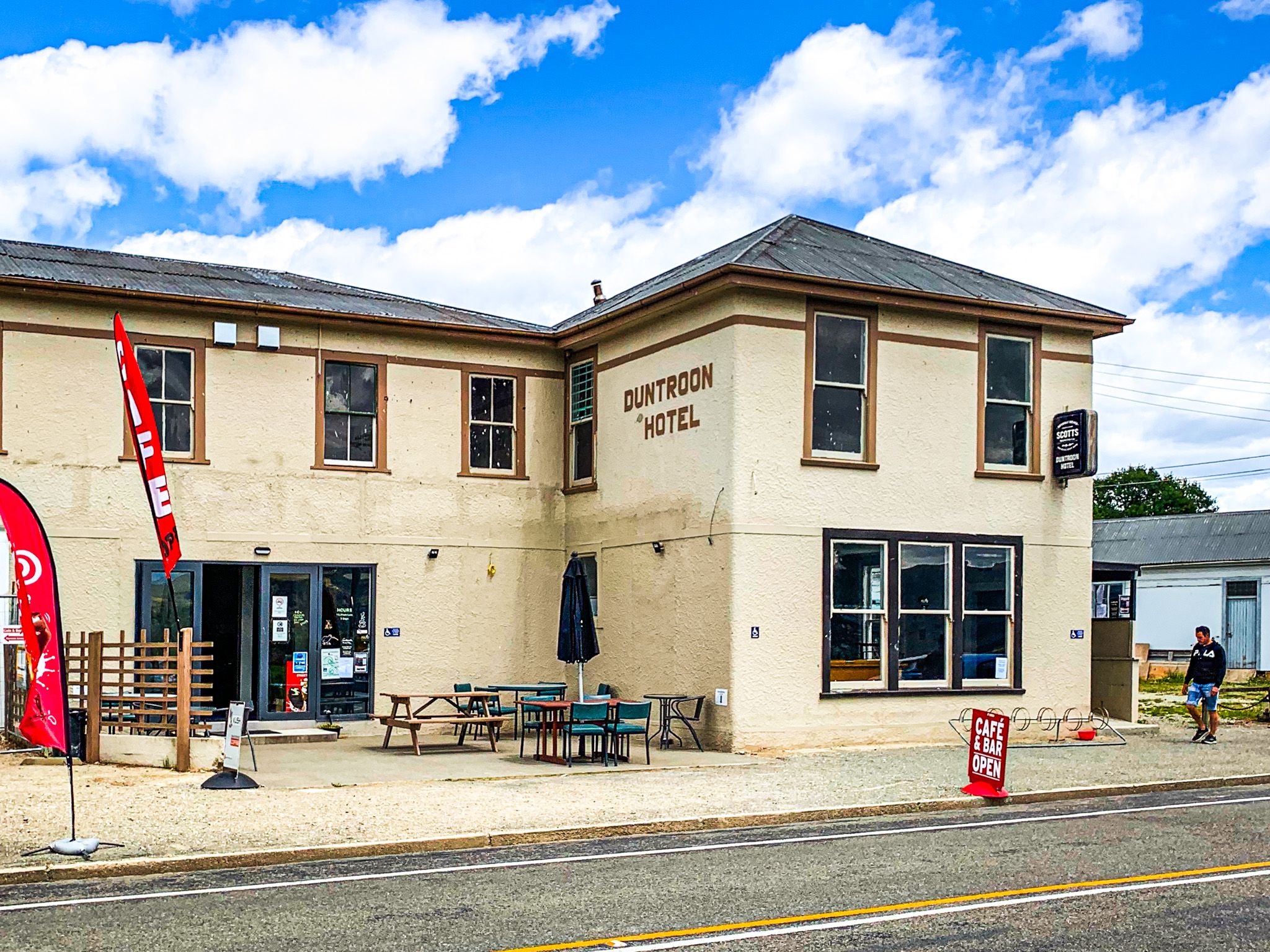
Limestone, or “whitestone”, defines much of the geology in the region. This is soft, ancient marine sediment that has weathered into strange and striking forms as it has been uplifted and eroded by water and weather. At the Vanished World Centre in Duntroon on State Highway 83, you can learn about the region’s fossil history and pick up a geosite guide. Whale bones, penguin skeletons and coral beds from an ancient sea have all been found in the cliffs and flats of this part of the valley. A full description of a tour of the Whitestone region's best features is available here.
Walks, Wine and Roadside Stops
The Waitaki Valley is also suited to relaxed exploration. Short walks lead to fossil cliffs and rock shelters; others follow quiet back roads or river tracks. The Alps 2 Ocean Cycle Trail follows side roads, especially on the north side of the upper valley, and has its own trails, which provide another perspective on the river, lakes, wineries, and heritage sites.
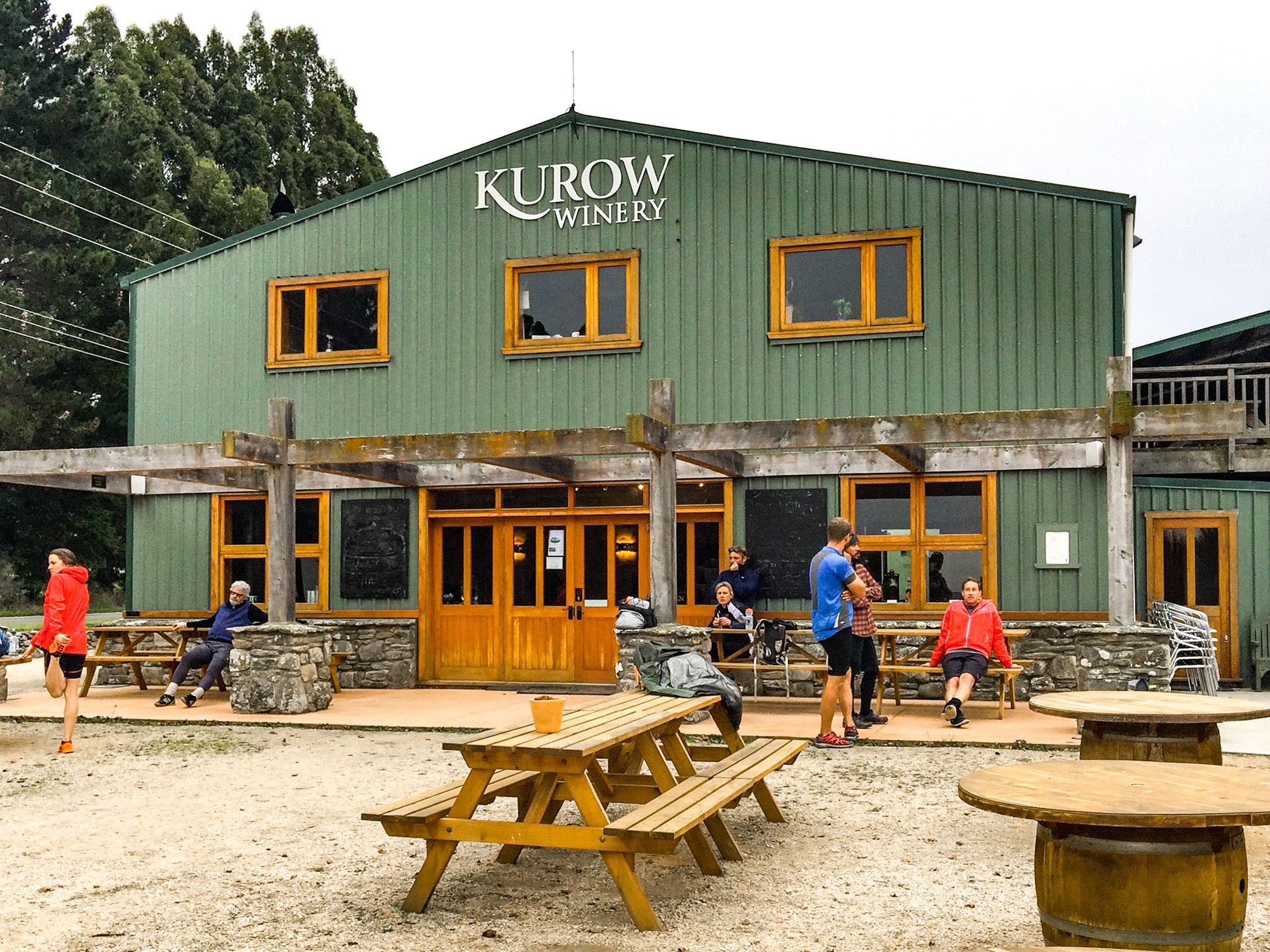
For wine lovers, this is one of New Zealand’s newer grape-growing regions, cool, dry, and rich in mineral soils. Local vineyards grow Pinot Noir, Riesling and Pinot Gris, often with a distinctive “whitestone” character from the limestone-rich terrain. Tastings are available near Kurow, and some vineyards have cellar doors or picnic spots.
Travelling southeast to the coast, you’ll notice the limestone theme continues into the town of Ōamaru, where Victorian buildings were carved from the same creamy stone. The town’s Victorian Whitestone Precinct reflects this connection between land and architecture.
Moa Hunters and Māori Pathways
Long before the hydro schemes and highways, the Waitaki Valley was an ara tawhito, a traditional travel route for Māori. The river provided food sources, seasonal migration paths and shelter in overhangs and caves. Archaeological evidence shows the area was important in the moa-hunter era. Early Māori settlements focused on hunting the large birds, gathering seafood from the coast, and moving between inland mahinga kai (food-gathering) zones. Around the Waitaki River mouth, 1,200 open ovens and middens were surveyed during the 1930s.
The rock art at Takiroa, along with similar sites like Maerewhenua, records hundreds of years of connection. In later centuries, depictions of European ships and horses were added to older motifs, showing how Māori responded to new arrivals while still moving through familiar lands.
The iwi associated with this area include Kāi Tahu, who maintain connections to the land and water, and have helped support the protection of sites like Takiroa.
How to Get There
The Waitaki Valley is easiest to explore by car or by bike on the A2O Cycle Trail. From Lake Benmore, either head south on State Highway 83 through Otematata, or cross the dam and follow Te Akatarawa Road around the north side of Lake Aviemore, returning to the highway over the Aviemore Dam.
From Ōamaru, the fastest route to the valley is to follow SH1 to SH 83, which then goes inland through Kurow, Duntroon, and on to the lakes. An alternative, more scenic route is to follow Weston Ngapara Road to Ngapara. From Ngapara, the main route to Duntroon takes you to many of the main Whitestone features, with short side trips for the others.
Allow at least a full day for travel between Benmore and the coast, or longer if you want to walk, stop at museums, or visit vineyards.