Discover the Tekapo Canal
Located in the heart of the Mackenzie Basin, the Tekapo Canal is the first (from north to south) of several canals in the Mackenzie Basin Power Scheme that connect the natural lakes, Lake Tekapo, Lake Pukaki, and Lake Ōhau, to man-made Lake Ruataniwha and Lake Benmore at the head of the Waitaki Valley Power Scheme.
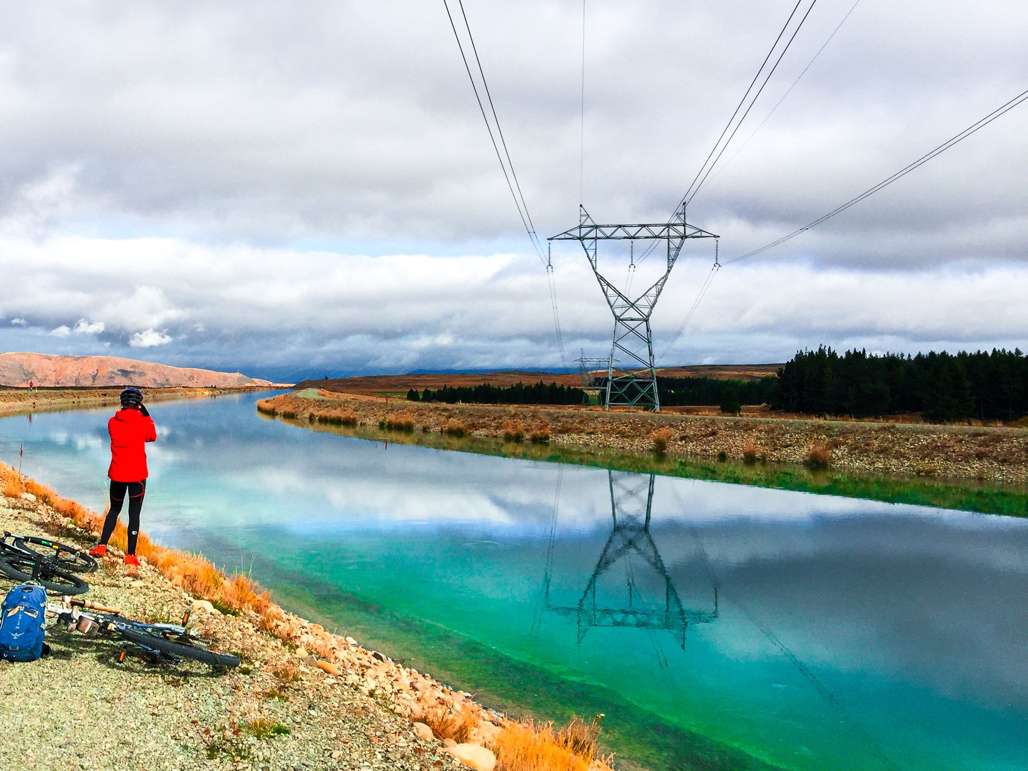
The Tekapo Canal is not only a feat of engineering but also provides scenic views from its support roads and provides access for walkers and cyclists, being a section of the A2O Cycle Trail. However, unlike the other canal roads, the Tekapo Canal is closed to cars.
Explore Tekapo Canal
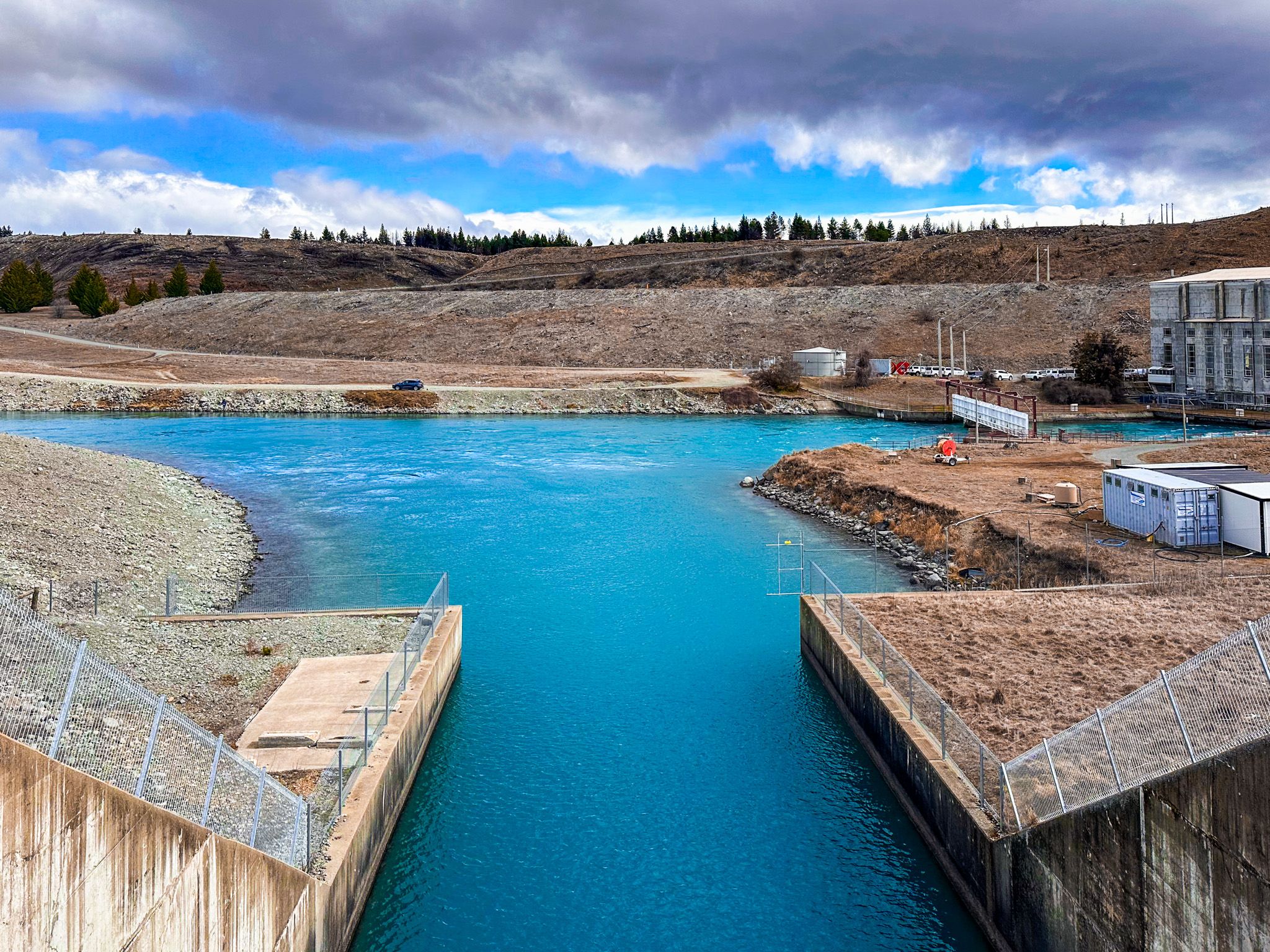
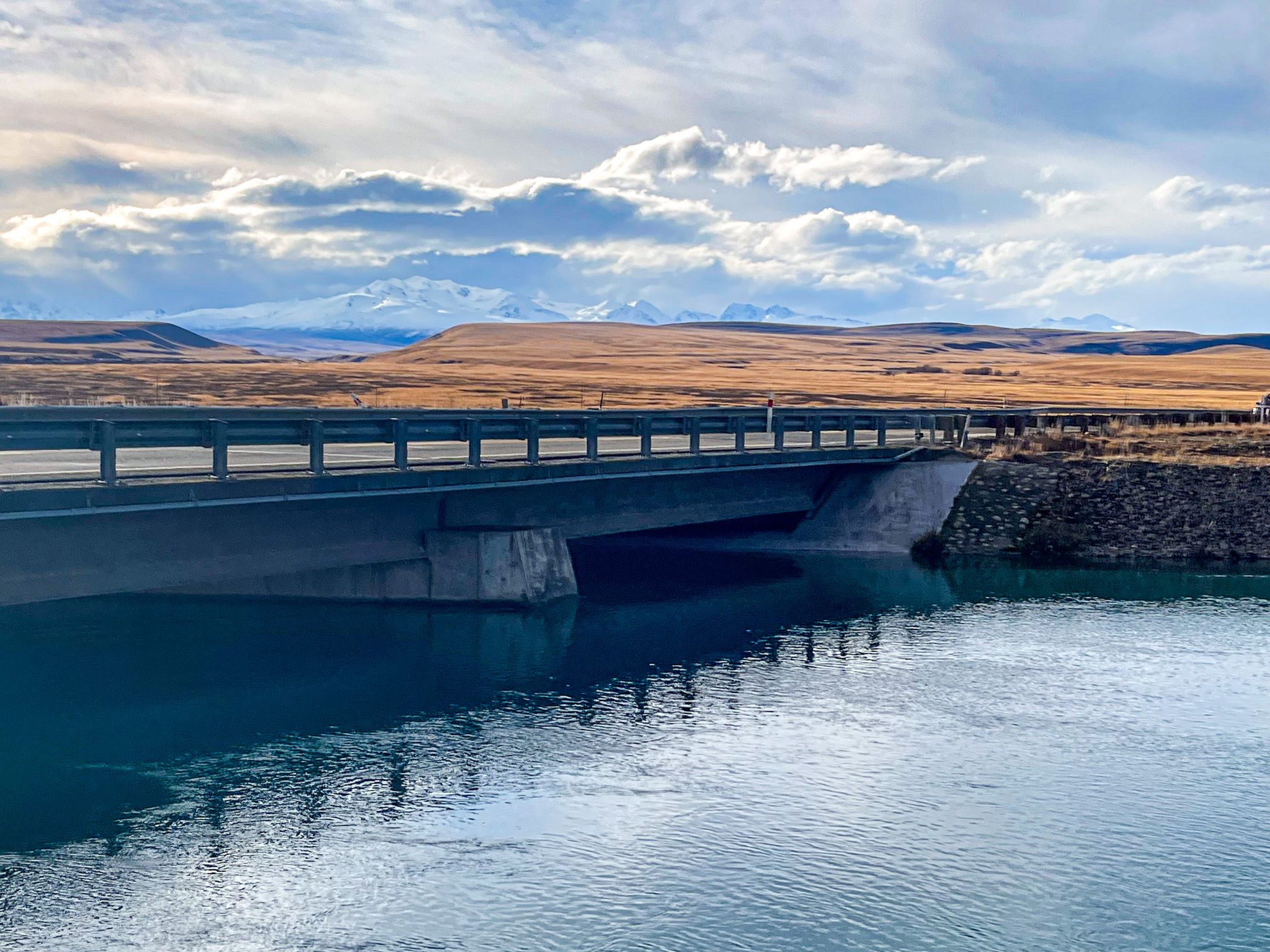
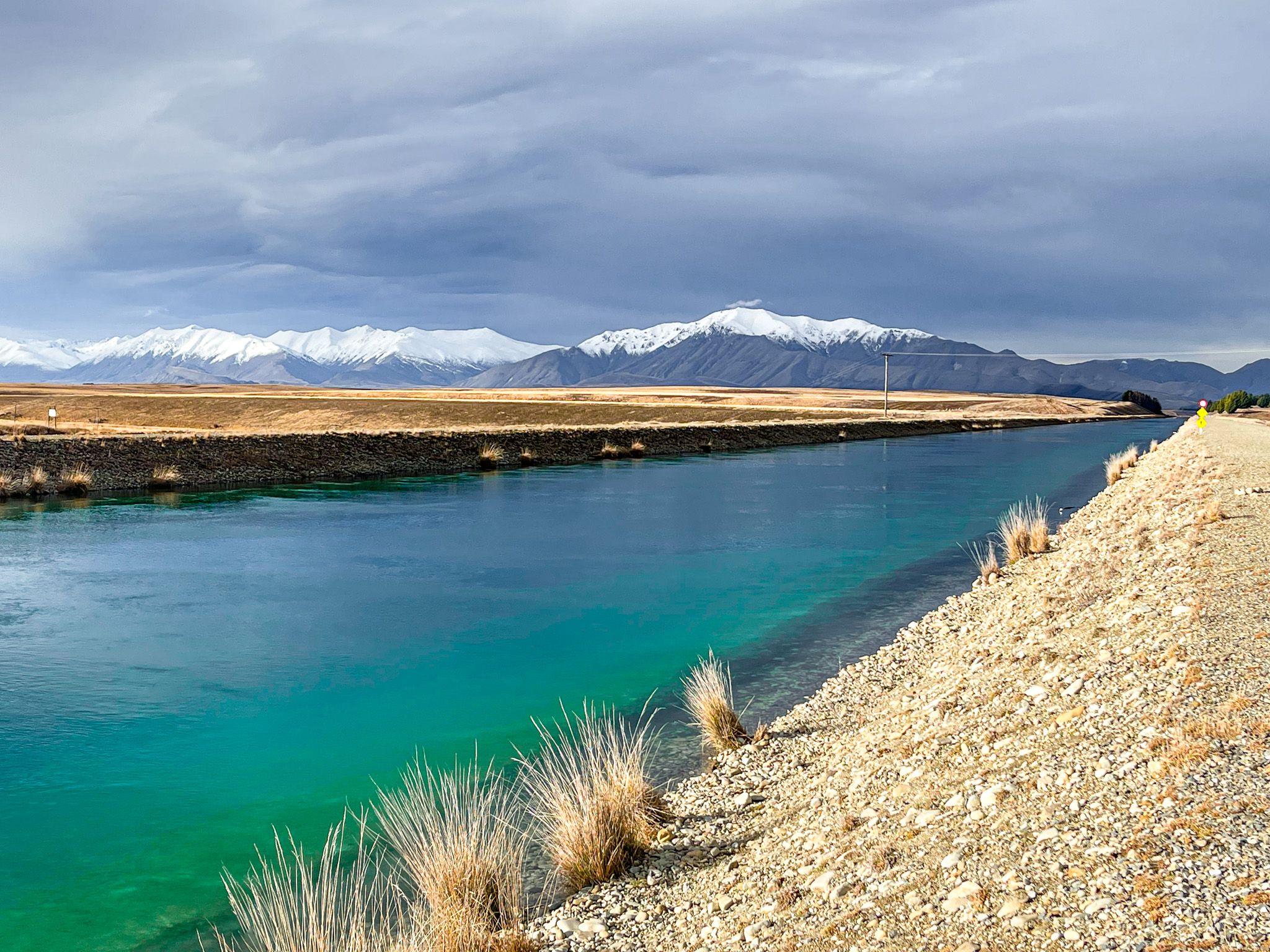
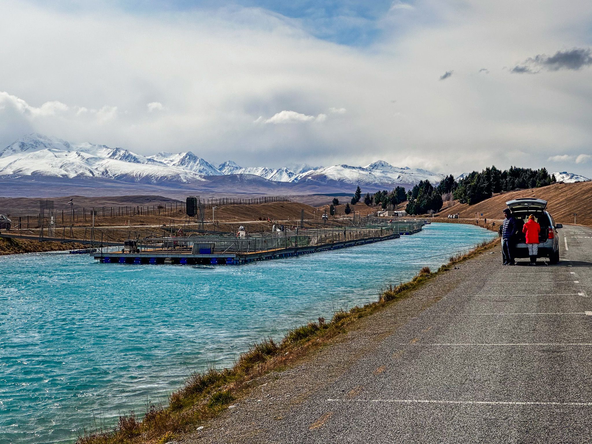
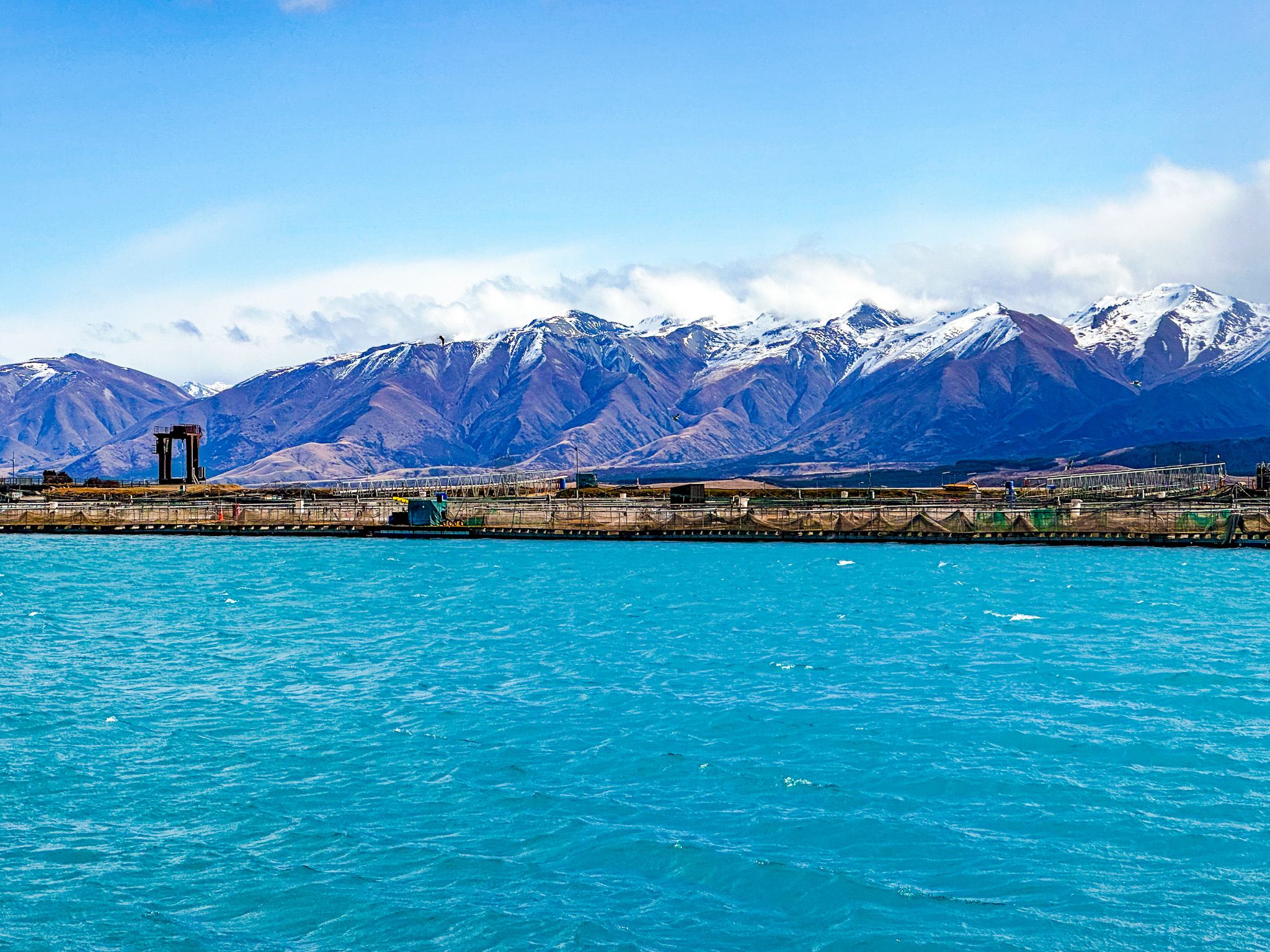
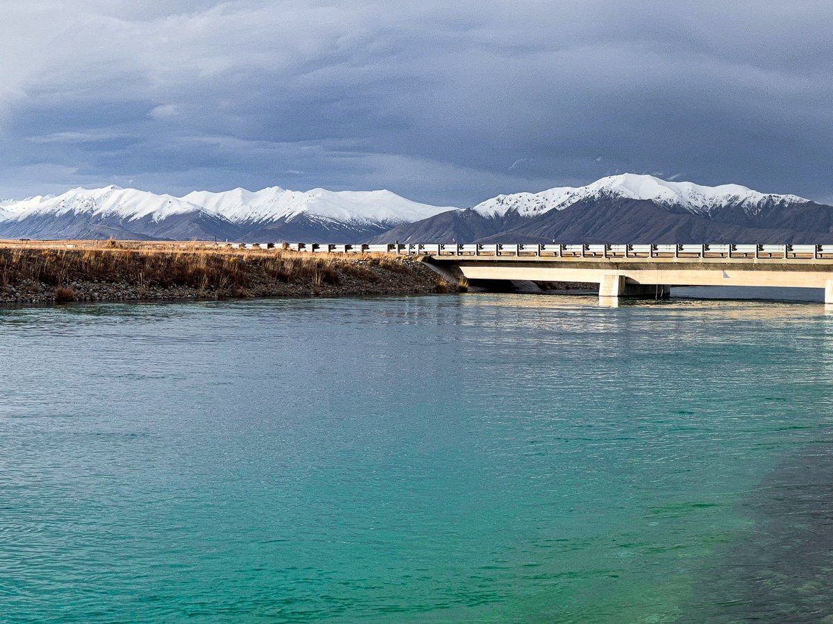
The Tekapo Canal is the engineered link between Lake Tekapo and Lake Pūkaki, carrying diverted water southwest between the lakes. It begins below the Tekapo A hydro power station control gates and runs across the 790 metre high arid plain for 25 km to Shilling Basin, a reservoir 120 metres above the Tekapo B hydro power station, on the southeast shore of Lake Pukaki. The canal is concrete-lined, with clear blue reflective water and broad shoulders.
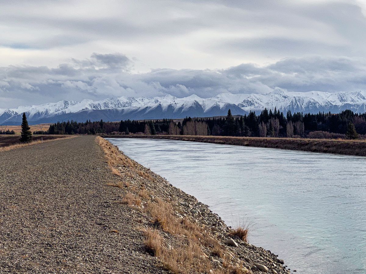
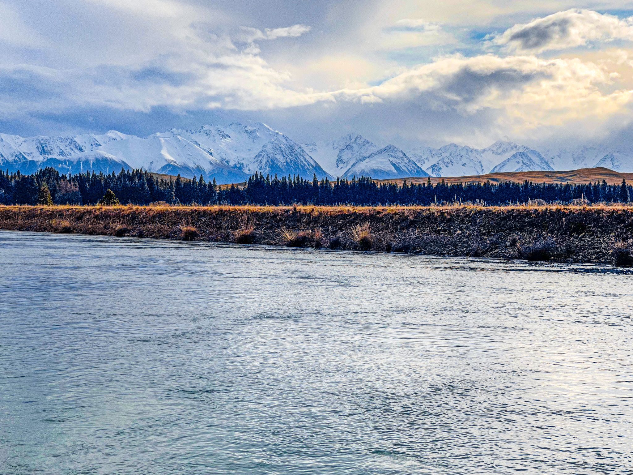
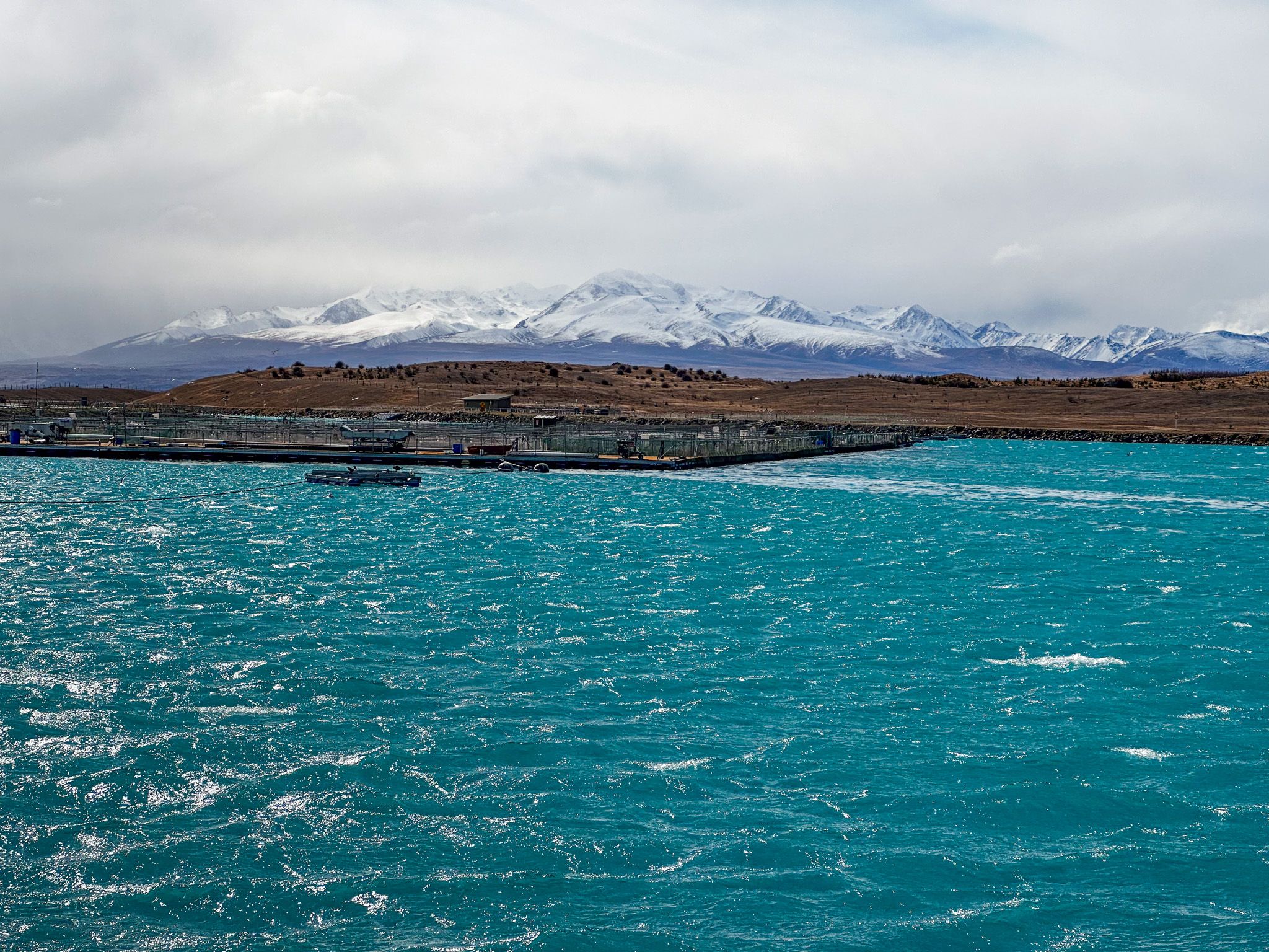
With very little traffic, it is the perfect cycling route. The route is especially scenic at Shilling Basin and the Pukaki end, where the contrast between the lake’s vivid blue and the tan hills creates a classic Mackenzie panorama. Fishing is common around Tekapo B and Shilling Basin.
Although a bike is the best option to explore the canal, you can drive to Tekapo A and to Tekapo B, then up to Shilling Basin.
How to get there
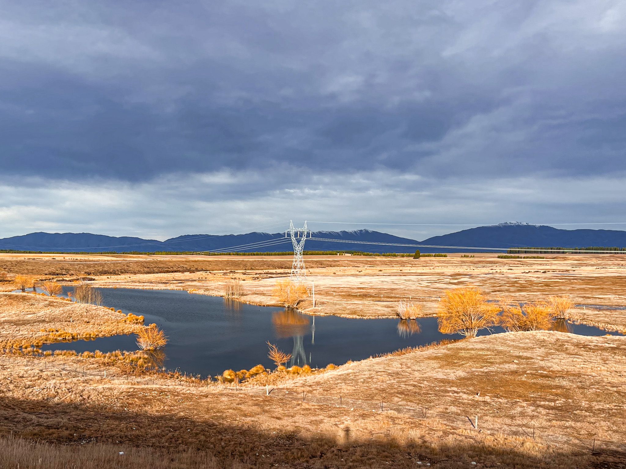
To get to Tekapo A, bike or drive along Aorangi Crescent from State Highway 8 within the township of Tekapo. As the crescent turns from south to east, turn south onto Andrew Don Drive and follow this to the Power Station and the start of the canal. On your left, you will also see what is left of the Tekapo River, a victim of the canal rerouting of the water flows. With a bike, you can continue along the canal road to Lake Pukaki.