Discovering Whanganui / Port Underwood
Whanganui / Port Underwood is a large, sheltered inlet located off the Cook Strait, marking the southeast side of the Marlborough Sounds. This area is accessible via Port Underwood Road or by boat. The inlet's European name honours Joseph Underwood of the shipping firm Kabel and Underwood, though his specific connection to the location remains unclear. The Māori name was reinstated following the Treaty of Waitangi settlement in 2014, which saw the restoration of many Māori names throughout the sounds.
Historical Significance and Early European Influence
Before European settlement, Port Underwood was home to a long-standing Māori community. However, in the 1820s, the local Rangitāne iwi was defeated by Te Rauparaha during his South Island invasion in the Musket Wars.
Te Rauparaha, recognising commercial opportunities, facilitated the arrival of sealers and whalers by 1826. John Guard, one of the first Europeans to father a child in the South Island, established a whaling station at Kakapo Bay in 1828.
The inlet was abundant in southern right whales, and by 1840, it hosted several whaling stations and around 150 Europeans, possibly the largest European settlement in the South Island at the time. Intense whaling activity led to the collapse of the industry and the functional extinction of whales in the area.
Modern Use and Ecological Contrast
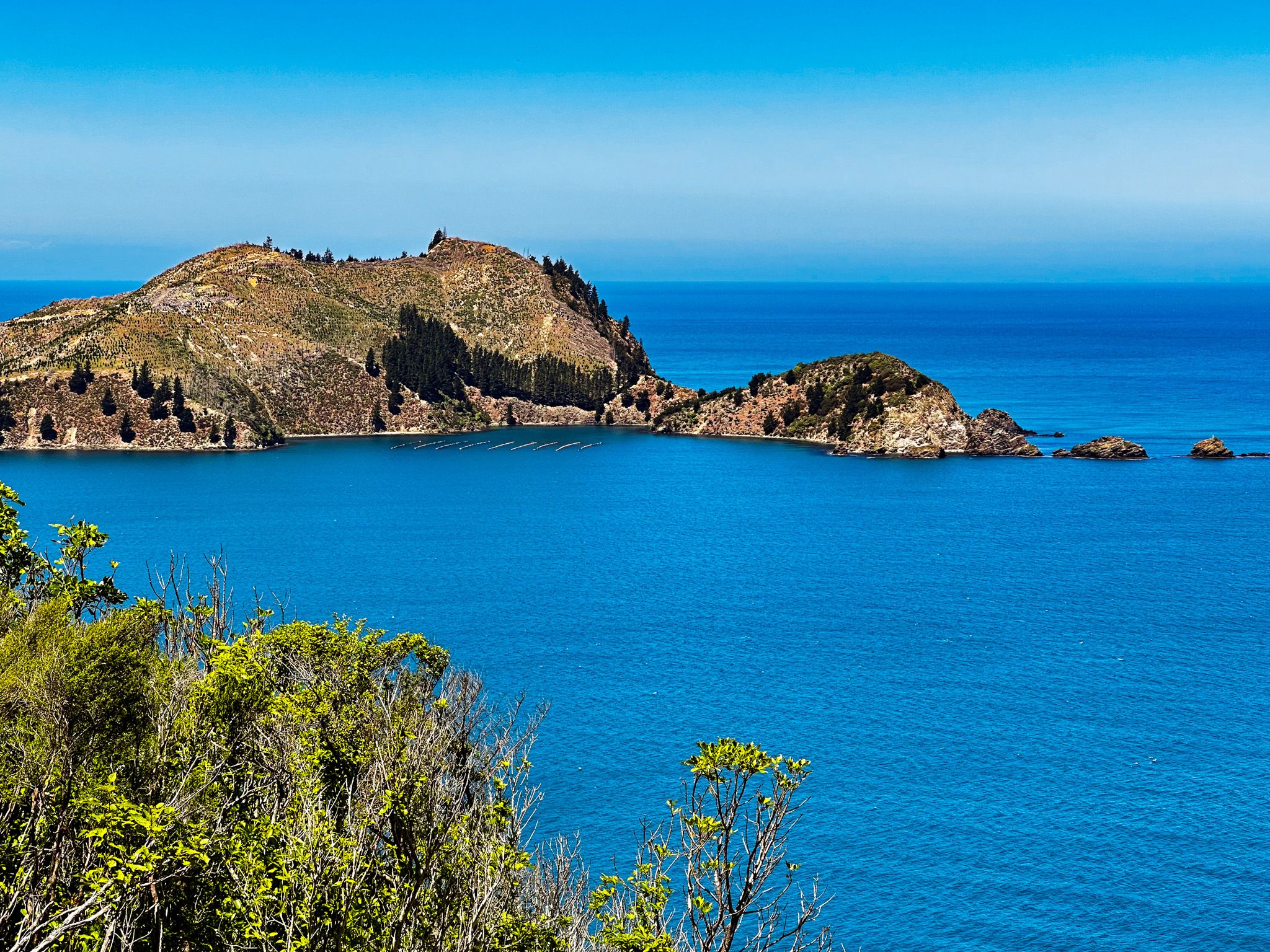
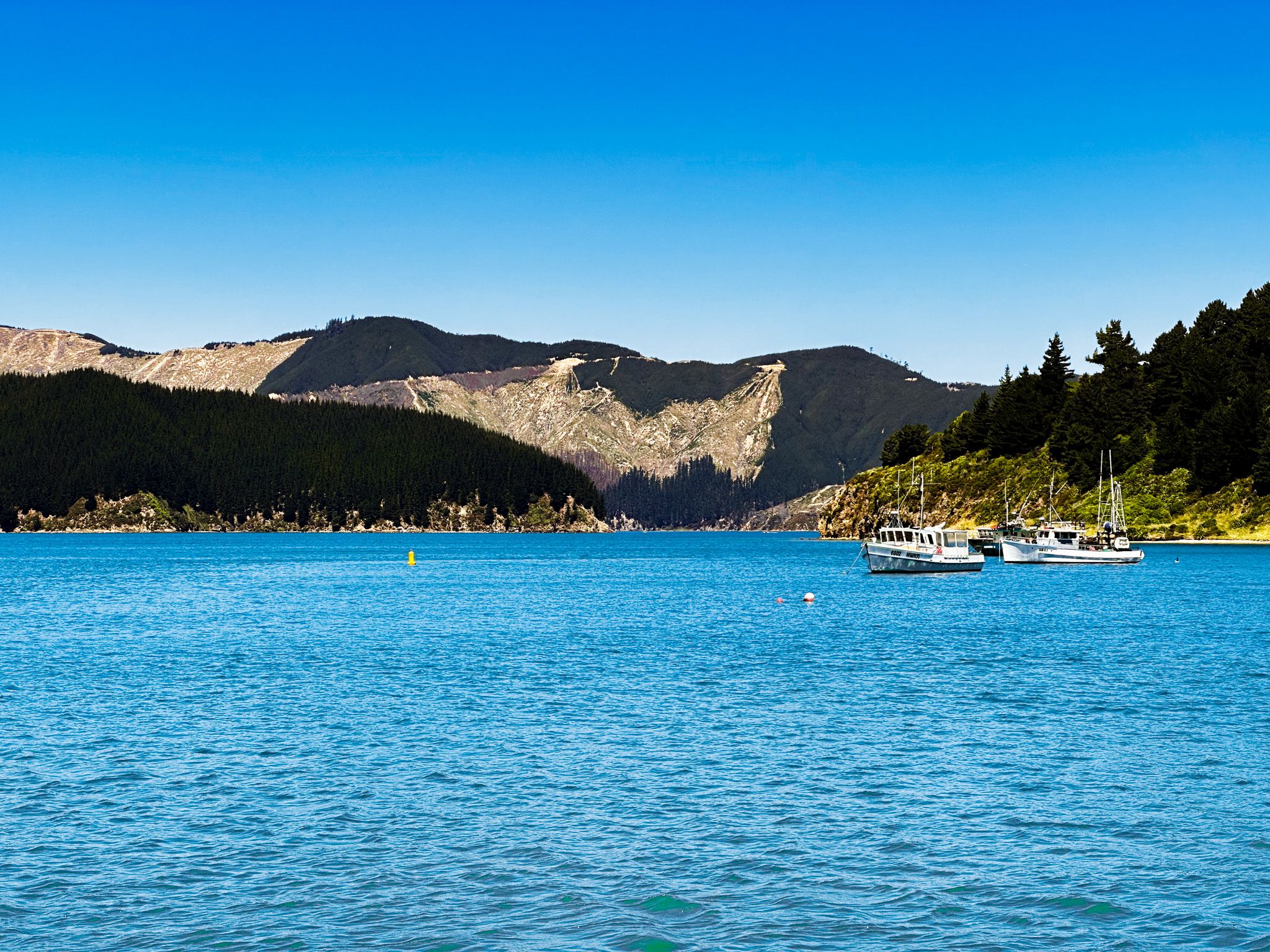
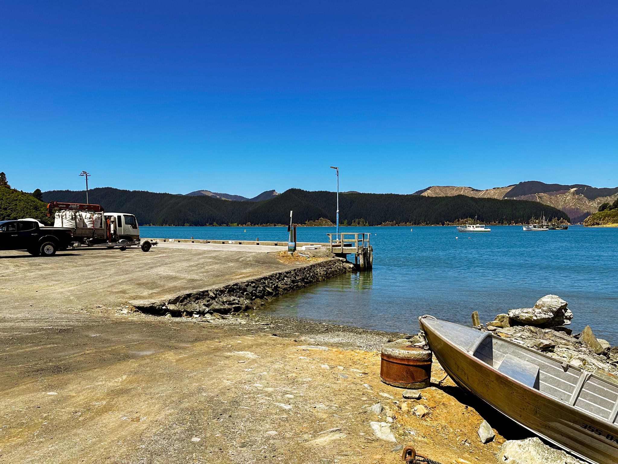
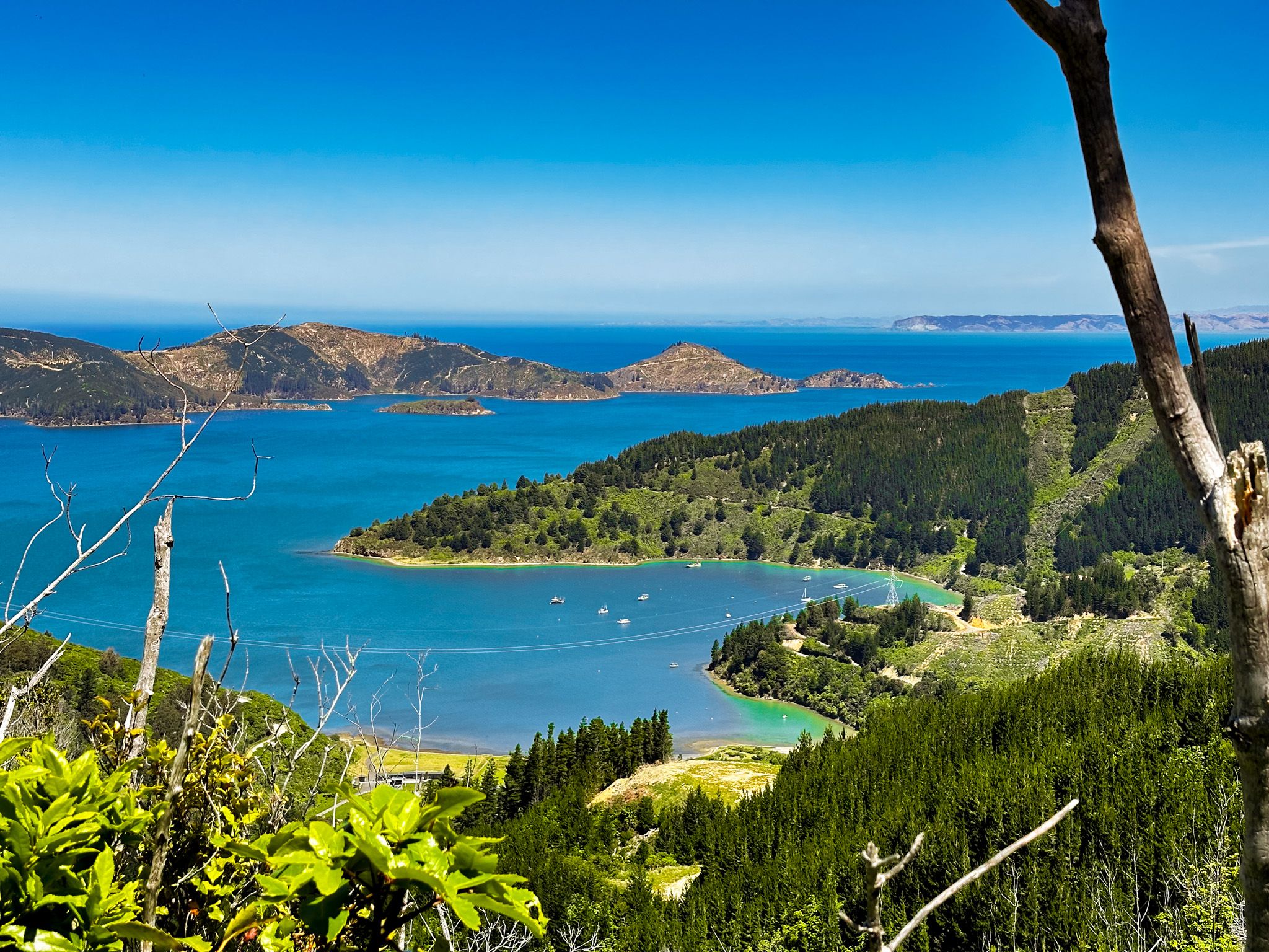
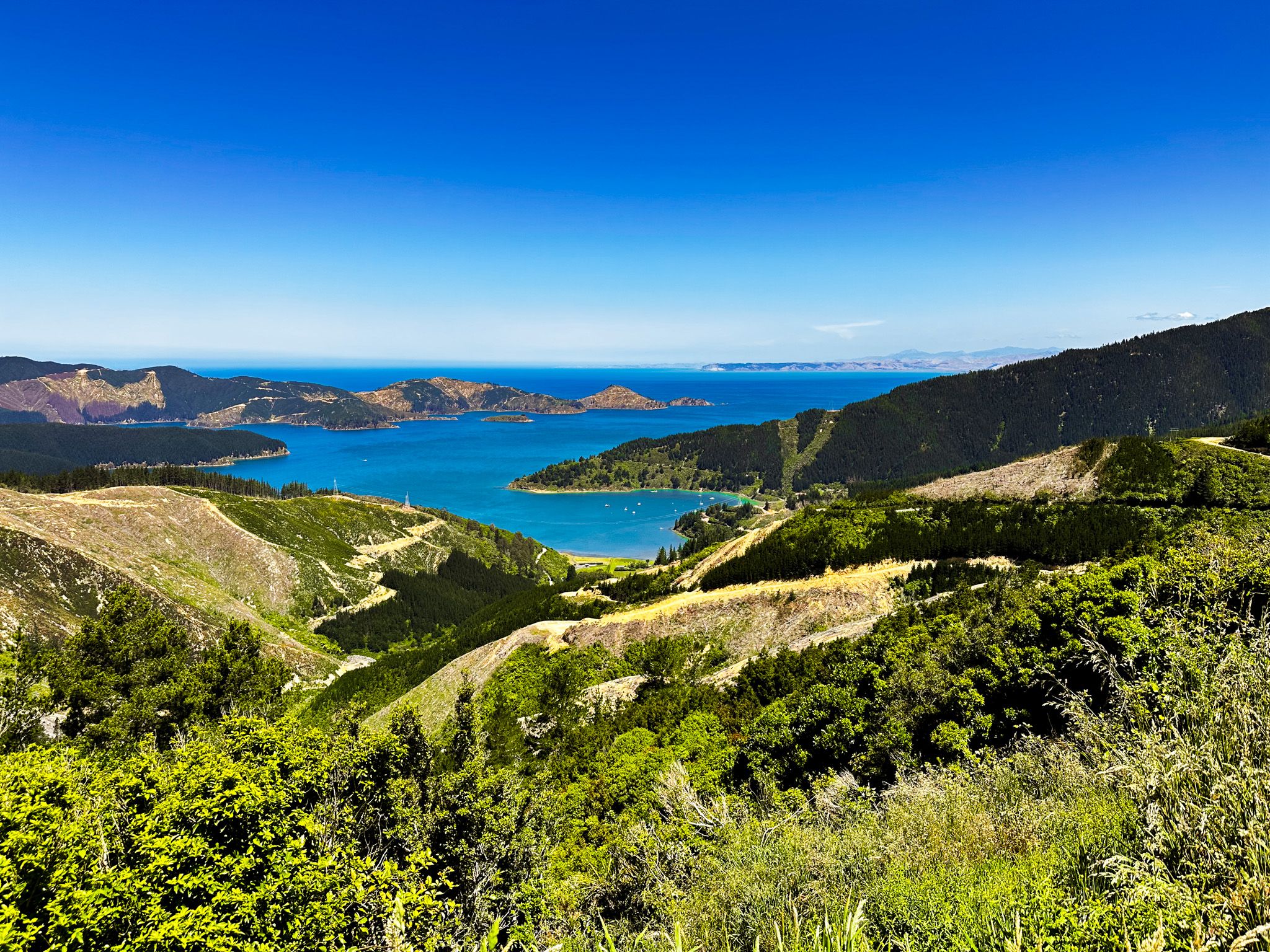
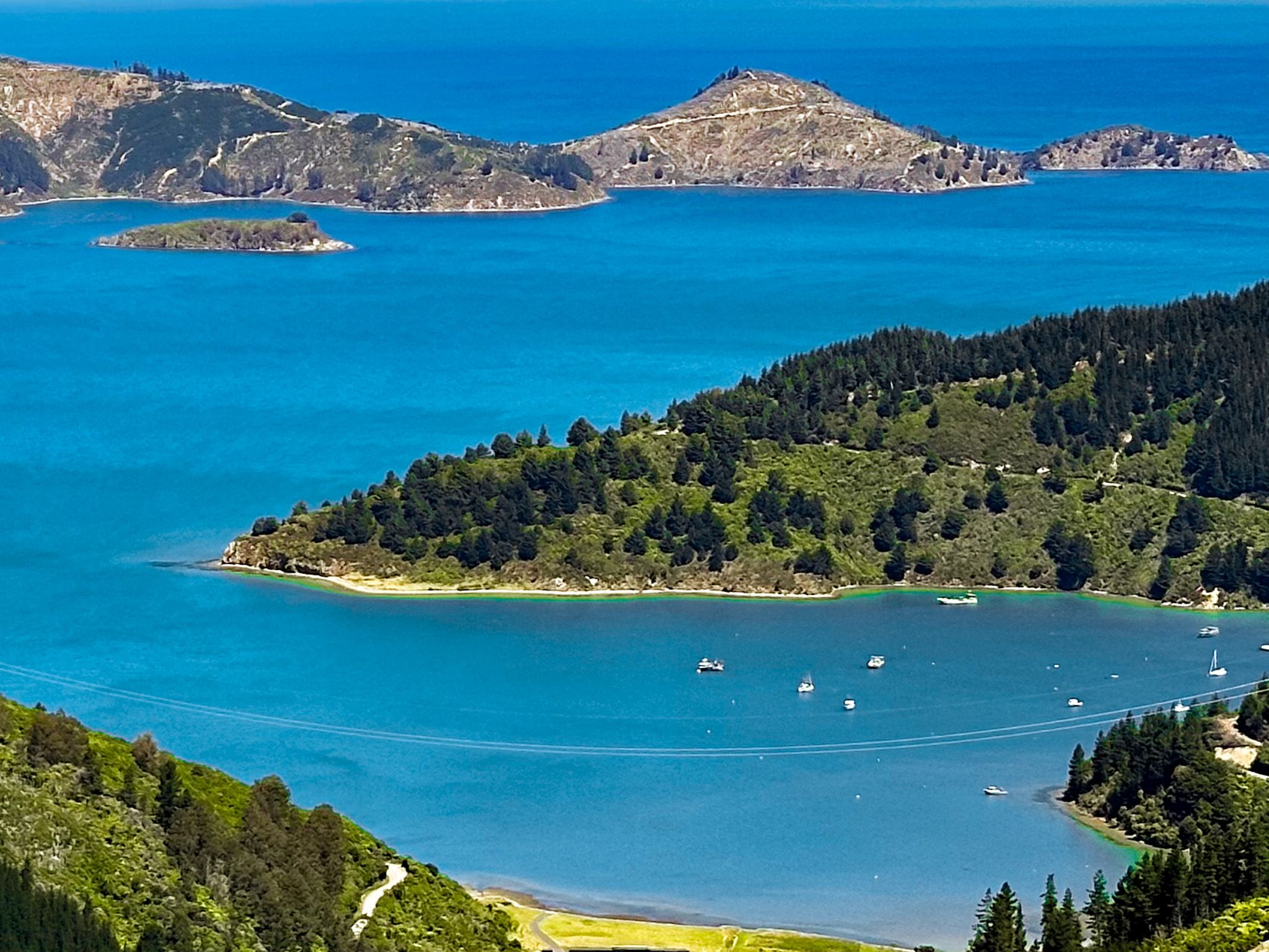
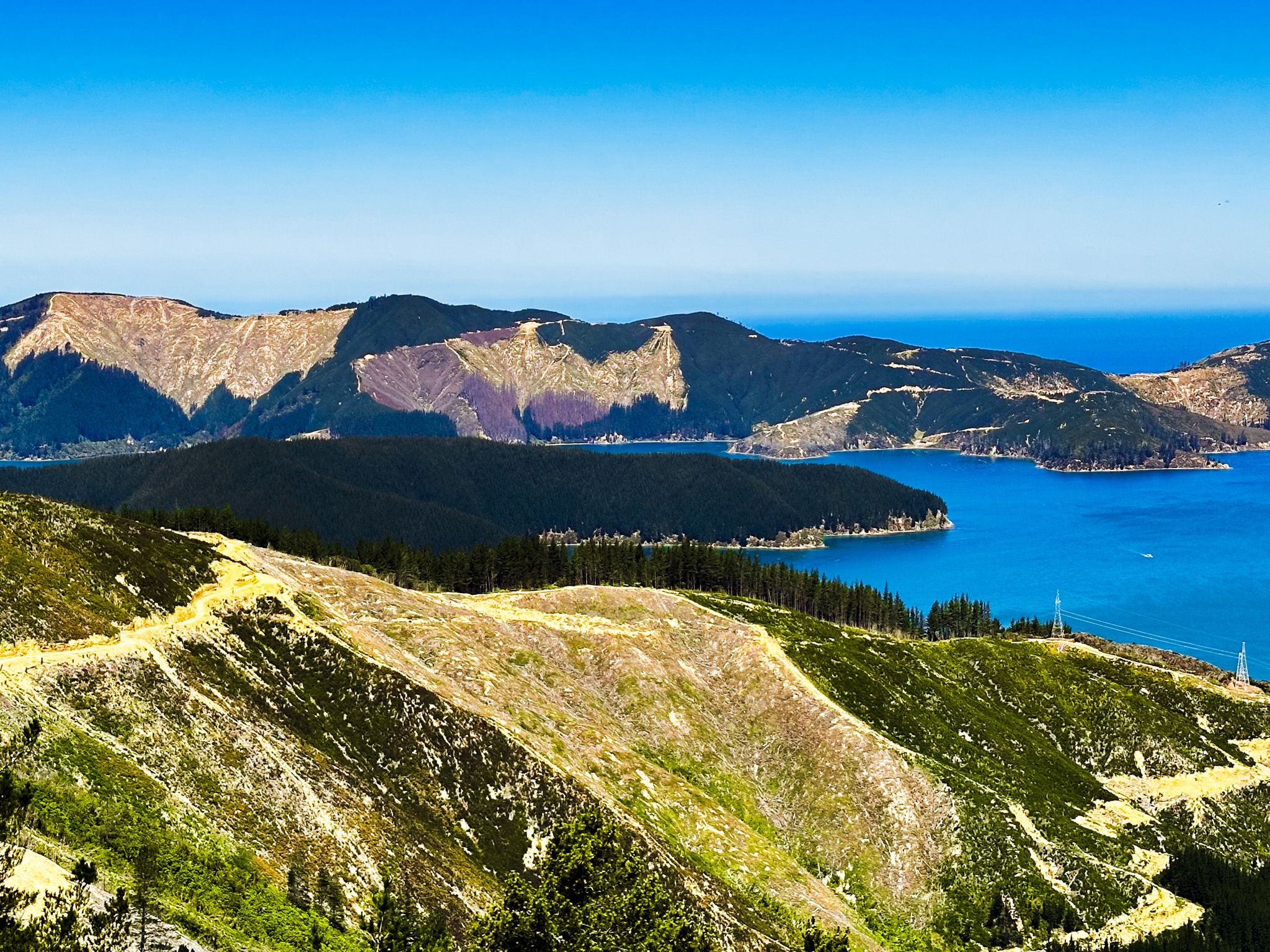
Today, Port Underwood remains a hub of commercial activity. Much of the area is covered in exotic pine forests, which are harvested, leaving a denuded landscape. Mussel farms are prevalent in many eastern bays, supported by boats at the Oyster Bay wharf. This commercial use contrasts with other parts of the sounds that are either lightly touched or undergoing ecological restoration.
Despite this, the small bays along the edge of Whanganui / Port Underwood are exceptionally attractive. These include Pukatea / Whites Bay, Waikutakuta / Robin Hood Bay, Ocean Bay, Tom Canes Bay, Oyster Bay and Hakahaka Bay. There are campsites at Whites Bay and Robin Hood Bay, and walking tracks around Whites Bay.
A Moment of Historical Fame
Despite its current remoteness, Port Underwood played a significant role in New Zealand's history. On 16 June 1840, HMS Herald arrived with a copy of the Treaty of Waitangi. Māori chiefs signed the treaty on Horahora-Kākahu Island, then an important fortified pā site. A macrocarpa tree was planted in 1900, and a bronze plaque was installed in October 1964 to commemorate the event.
Today, the island is under local Māori control and is part of an ecological restoration project. You can view the island from Tom Canes Bay along Port Underwood Road or visit it by boat.
Getting to Whanganui / Port Underwood
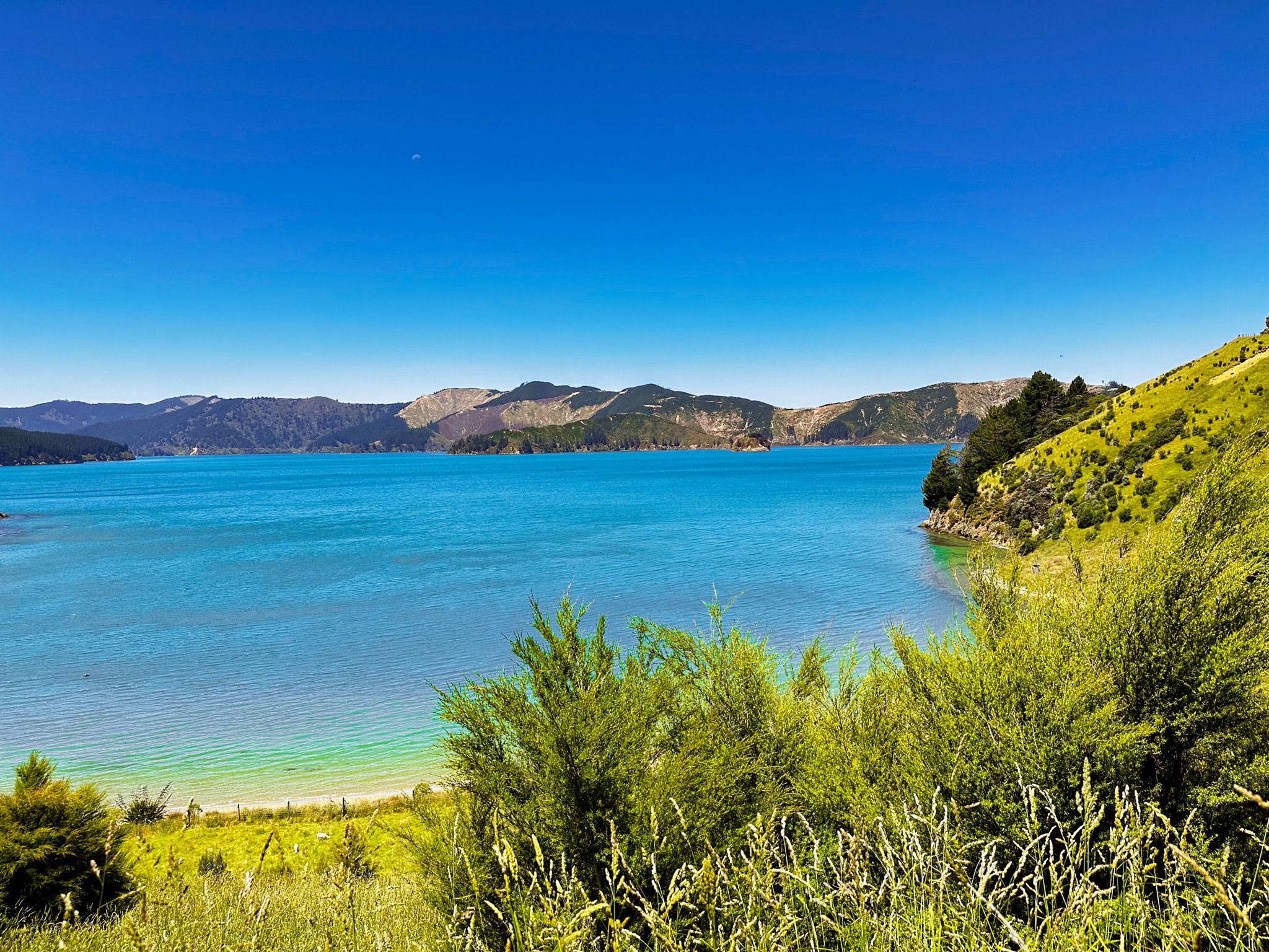
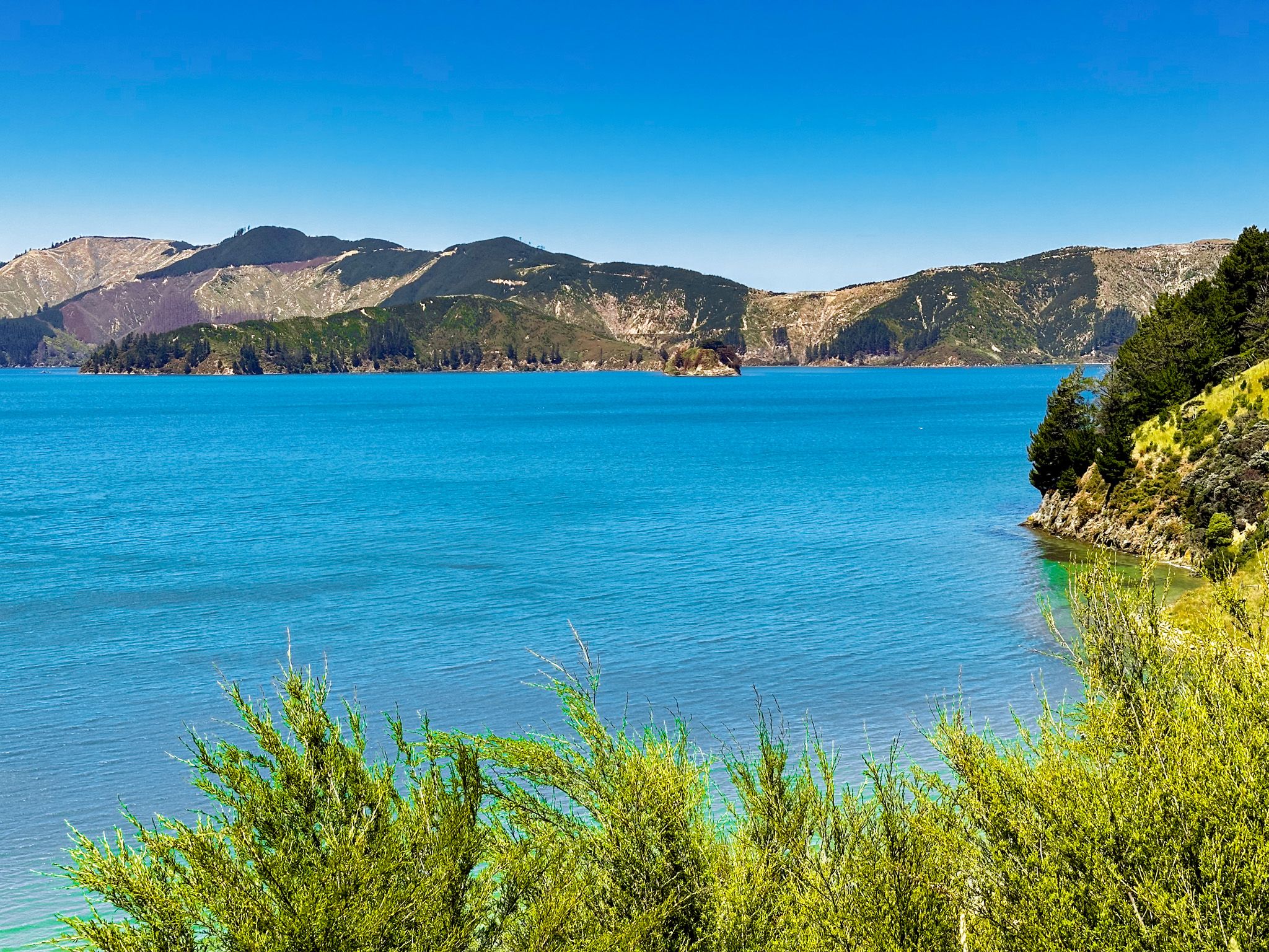
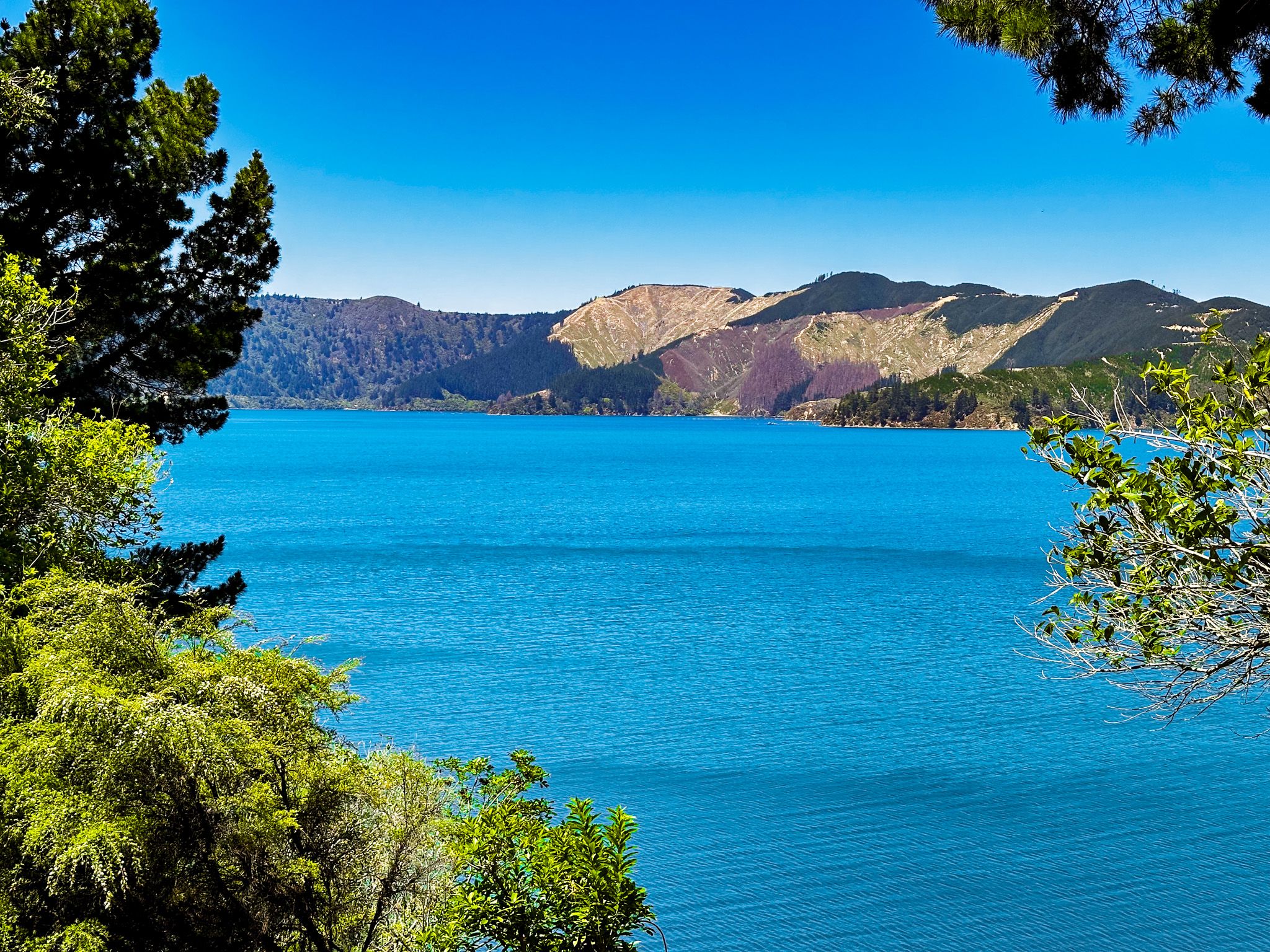
To reach Whanganui / Port Underwood, drive along Port Underwood Road from Rārangi or travel by boat. The road provides scenic views and access to various bays and historical sites. From Blenheim, it is a 19-minute, 19 km drive to the head of Whanganui / Port Underwood. You can easily spend a day or more exploring the area. Be aware that the road is mostly gravel, narrow and winding in places, but with little traffic.
To the east, following Port Underwood Road, you can explore Queen Charlotte Sound / Tōtaranui, Picton, and Queen Charlotte Drive.