One of Aotearoa's Earliest Settlements
Ōhawe Beach sits at the mouth of the Waingongoro River, west of Hāwera on the south Taranaki coast. The name Ōhawe means "place of a river bend", referring to the winding course of the Waingongoro before it reaches the sea. This is an historically significant site as one of the earliest known places of human settlement in Aotearoa. Māori were hunting moa and other birds here around 1300.
The Beach and Reserve
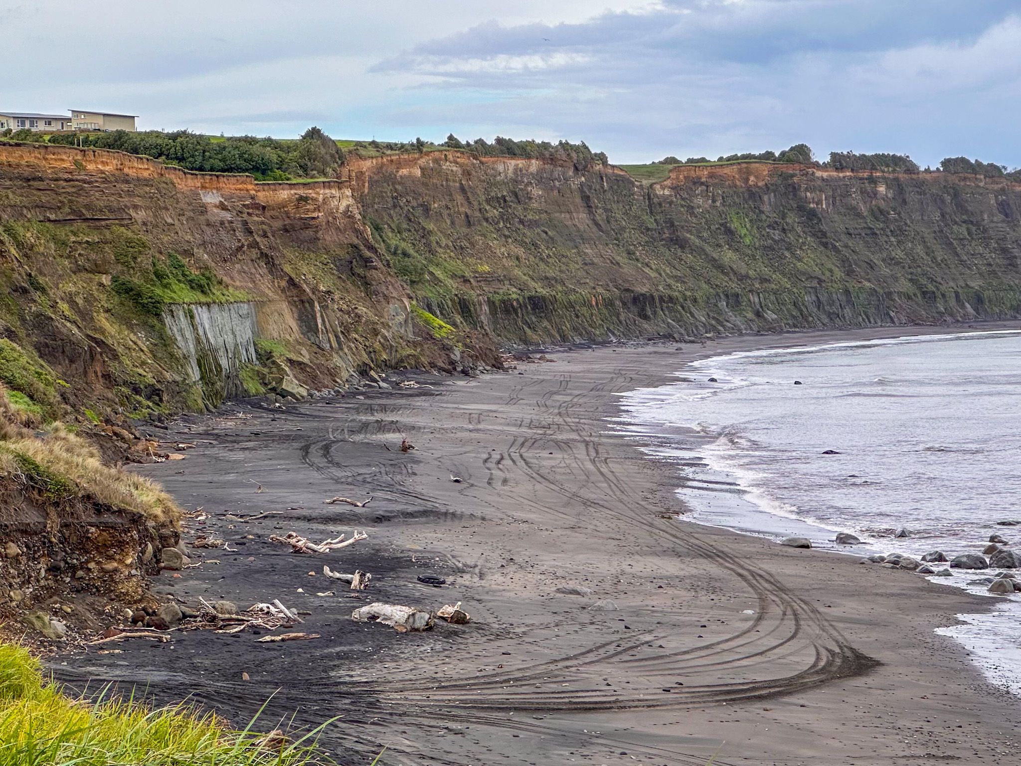
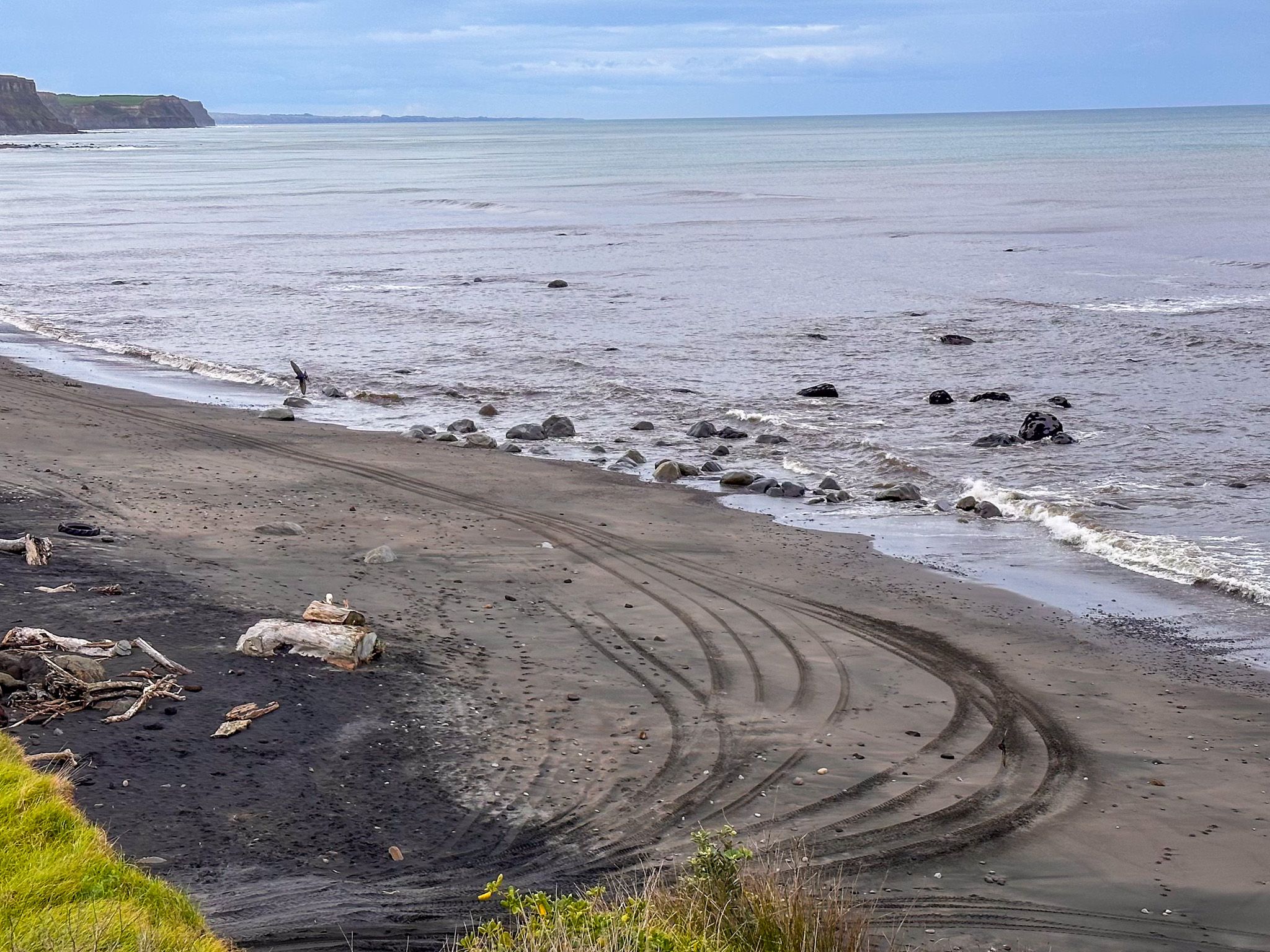
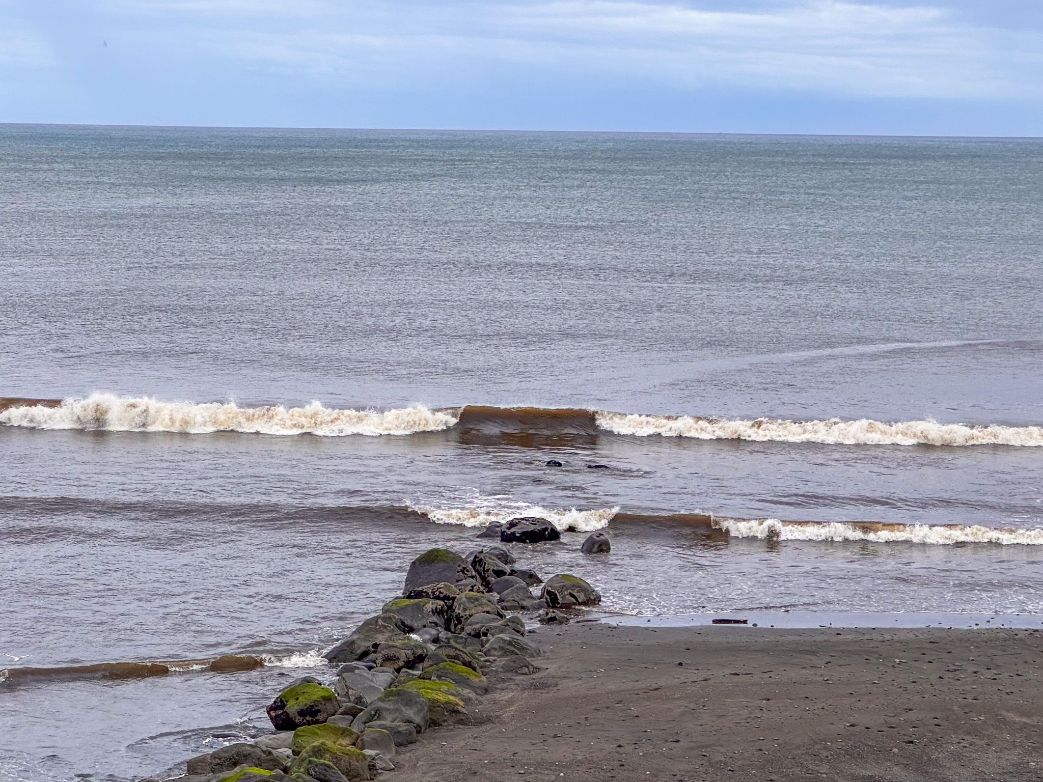
The access road passes through a small coastal community and then heads into the reserve, high above the iron-sand beach. The campsite is on the left, and the main parking area is to the right. There are toilets and changing rooms, along with a boat ramp. Walk down the boat ramp between the cliffs to get to the surf beach. The most notable feature is the high cliffs at either end.
Cliffs and Coastal Geology
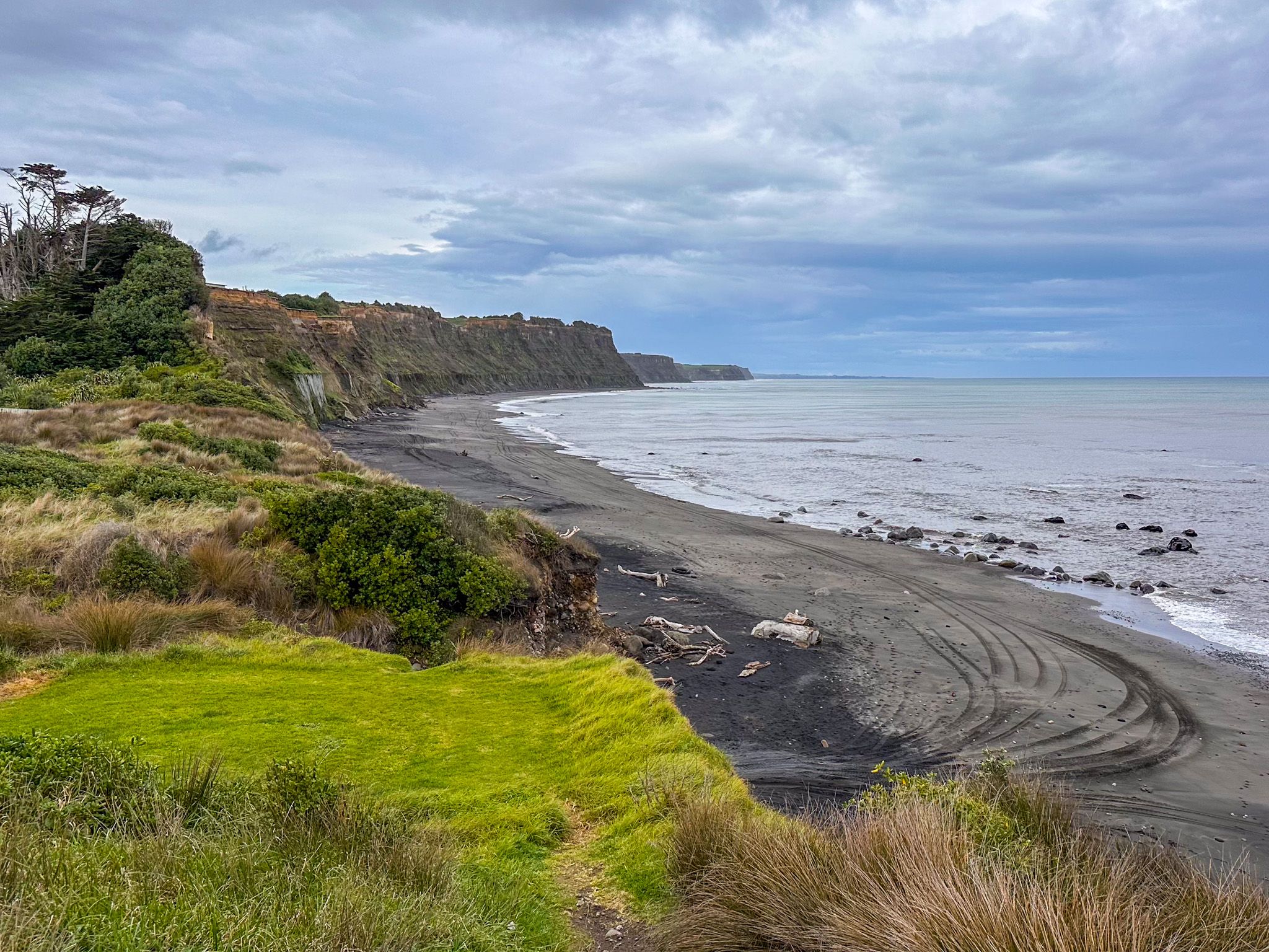
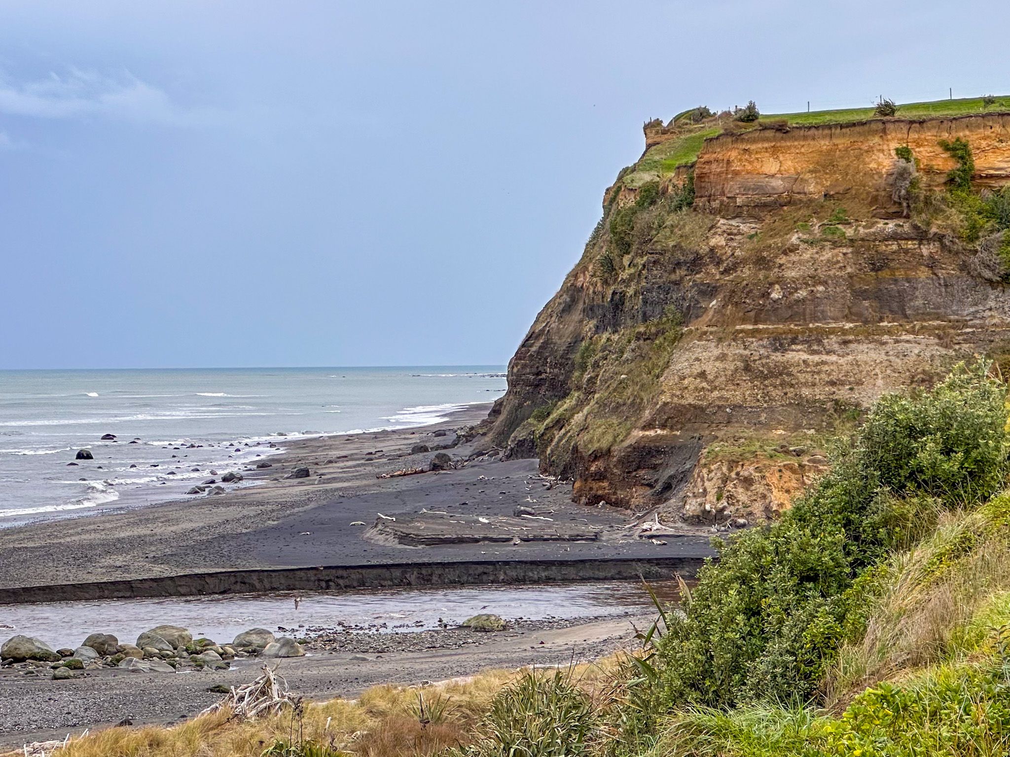
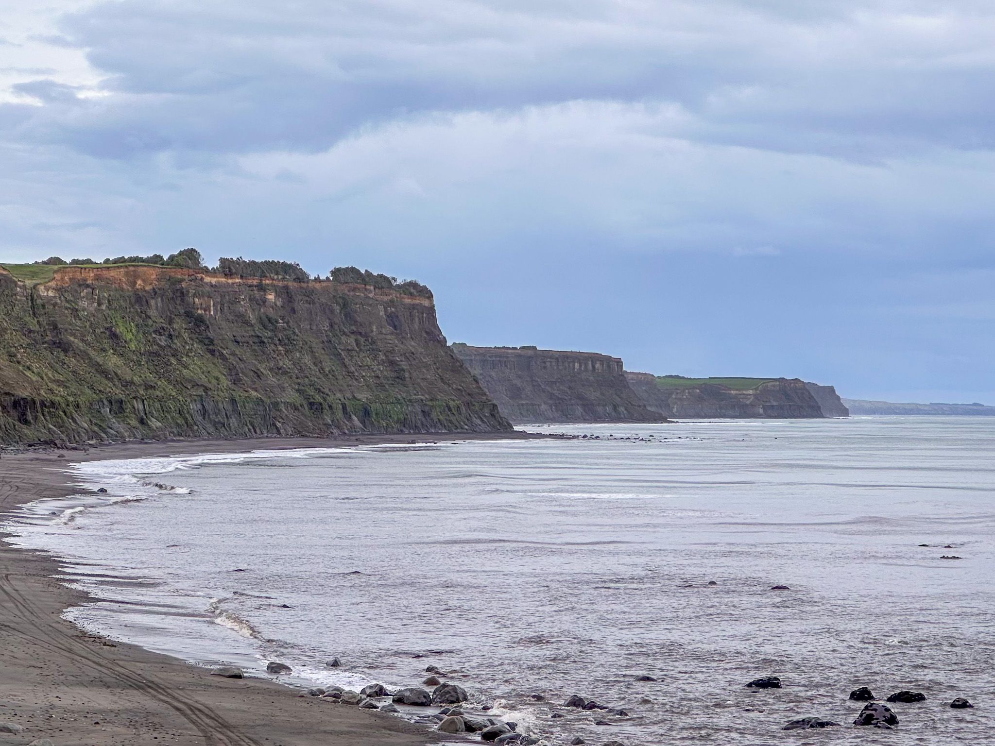
The cliffs behind Ōhawe Beach are among the most geologically legible on the Taranaki coast. They are formed from uplifted marine terraces, with layers of papa mudstone and sandstone forming the rocky cliffs that characterise the South Taranaki shoreline from here to Whanganui.
These terraces have been slowly rising from the sea for the past three million years as the land continues to lift. The lower cliff faces are the soft papa mudstone, pale and visibly stratified, while the layers above are darker, compacted marine sediments. Fossils of ancient shells are embedded in cliff faces and in shore rocks. The boundary between the two main layers is clear and visible for many kilometres along the coast. Be aware, these cliffs are especially prone to ongoing erosion and falling debris, so staying back from their base is advisable.
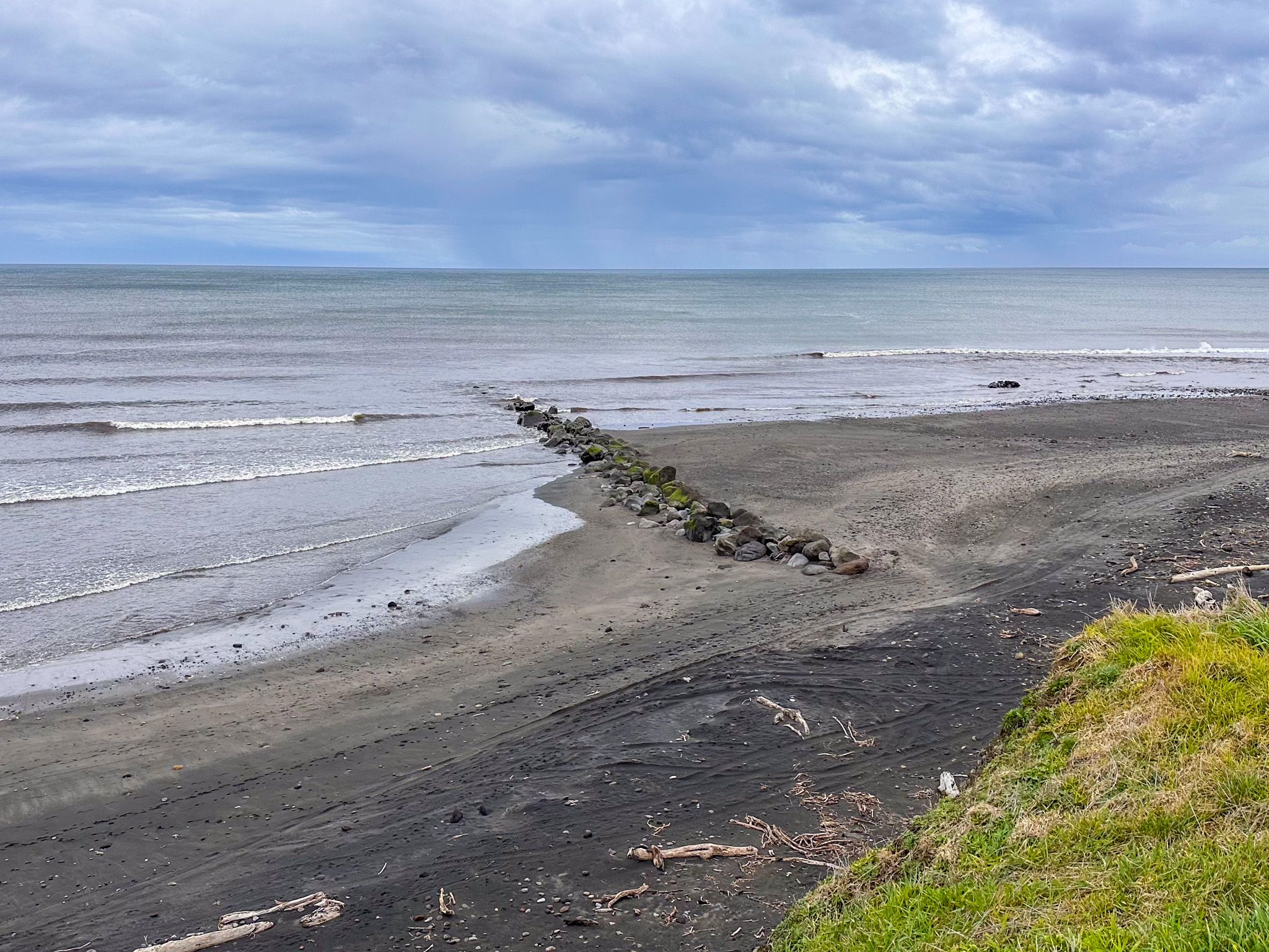
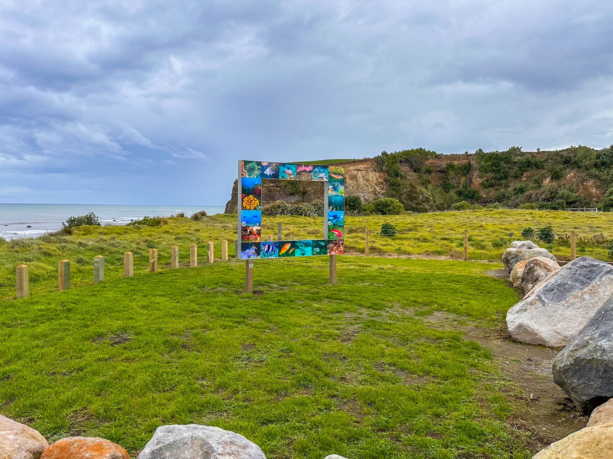
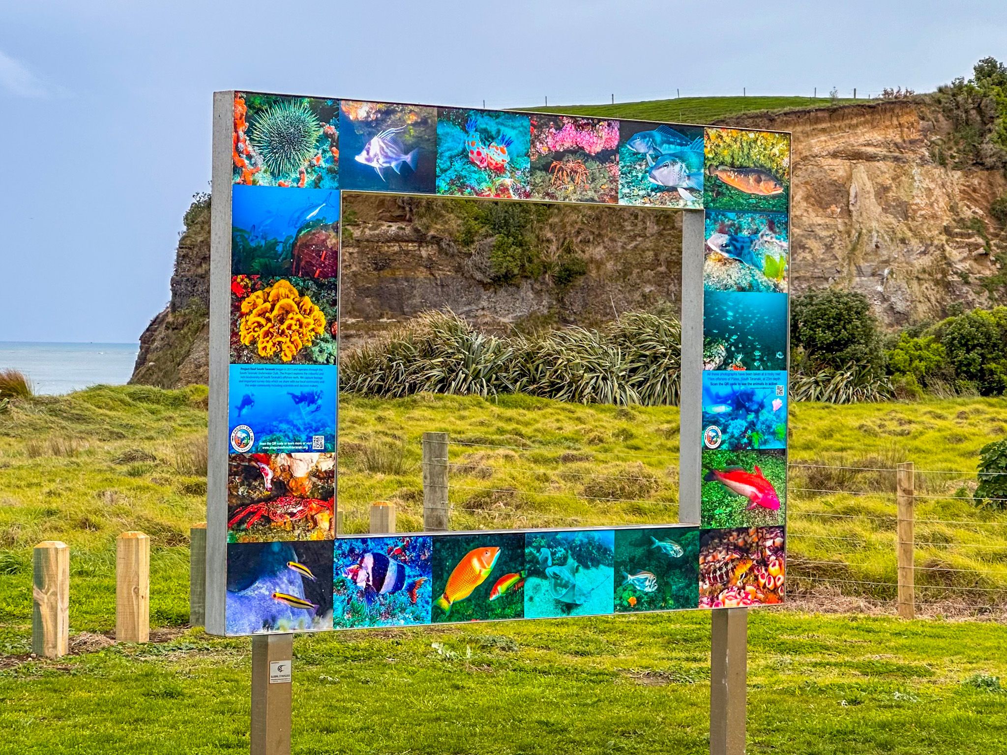
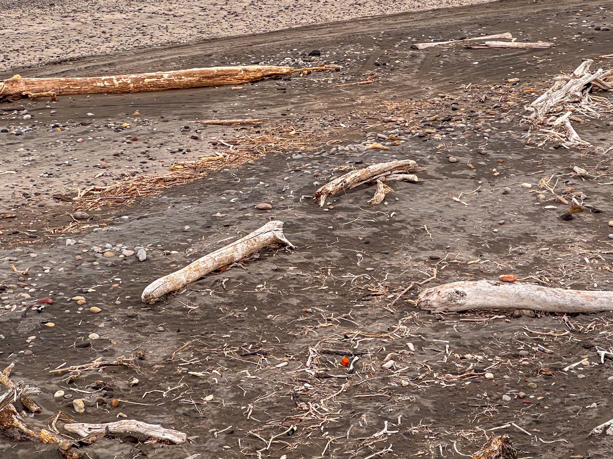
At low tide, you can also explore rock pools with a wide range of sea life, as well as the remnants of old tram rails that were once used to haul shingle and sand from the beach for road construction.
The Coastal Walk to Waihi Beach
A 5 km foreshore walk south along the cliff base links Ōhawe Beach with Waihi Beach. The walk passes beneath the full height of the papa rock cliffs, through two areas of rock pools, past the tram rail remnants near the end of Hauroto Road, and on to the quieter Waihi Beach. The walk takes around two to two and a half hours one way and requires careful timing as it is only safe about two and a half hours either side of low tide. Check tide tables before setting out, stay well away from the cliff base, and arrange return transport in advance.
Early Māori Settlement and Archaeology
The first Māori settlers at Ōhawe lived in small undefended settlements near the river mouth, exploiting rich coastal and forest resources. Evidence found at the site includes the remains of several moa species, the extinct Haast eagle, fish and shellfish, and obsidian from distant volcanic sources. This stone, used to make tools, links these early occupants to the wider network of the first colonists across Aotearoa. A fortified pā once stood where the carpark is now.
The Reverend Richard Taylor visited in 1843 and described the site as "a regular necropolis" of moa bones. Walter Mantell followed in 1847 and was the first to understand that Māori and moa had coexisted here. In the 1960s, Hāwera doctor and archaeologist Alistair Buist carried out excavations that established much of the current archaeological understanding of the site. Moa-bone remains have also been found at cooking-oven sites around the current camping area.

How to Get There
Ōhawe Beach is accessed by turning left from State Highway 45 onto Ōhawe Road, about 5 km west of Hāwera. From New Plymouth, the drive is 73 km and takes 60 minutes.
Nearby places to visit include Kāpokonui Beach, King Edward Park, Naumai Park and Tawhiti Museum in Hāwera.