Into the high country from Garston
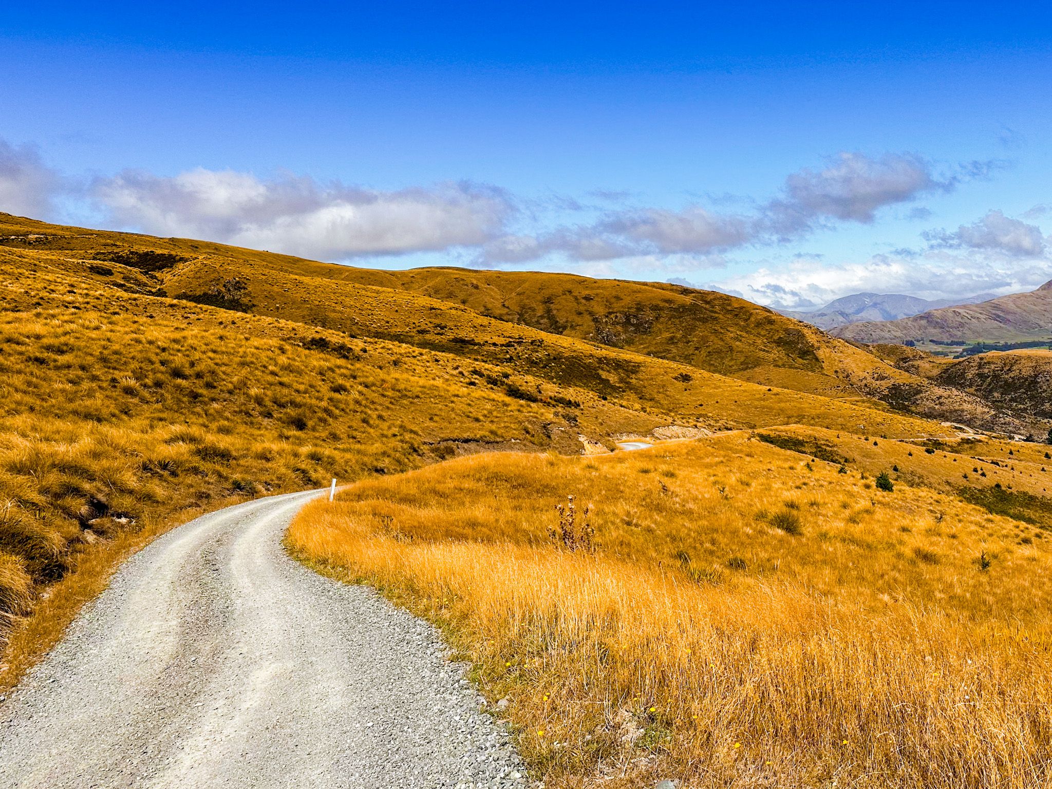
Rising from State Highway 6 near Garston in northern Southland, the southern end of Nevis Road leads you around the south end of the Hector Mountains into a landscape shaped by altitude and history. This gravel road begins gently enough, climbing through farmland and tussock, to the historic Garston Ski Hut at 1,000 metres and the edge of the Hector Mountains Conservation Area.
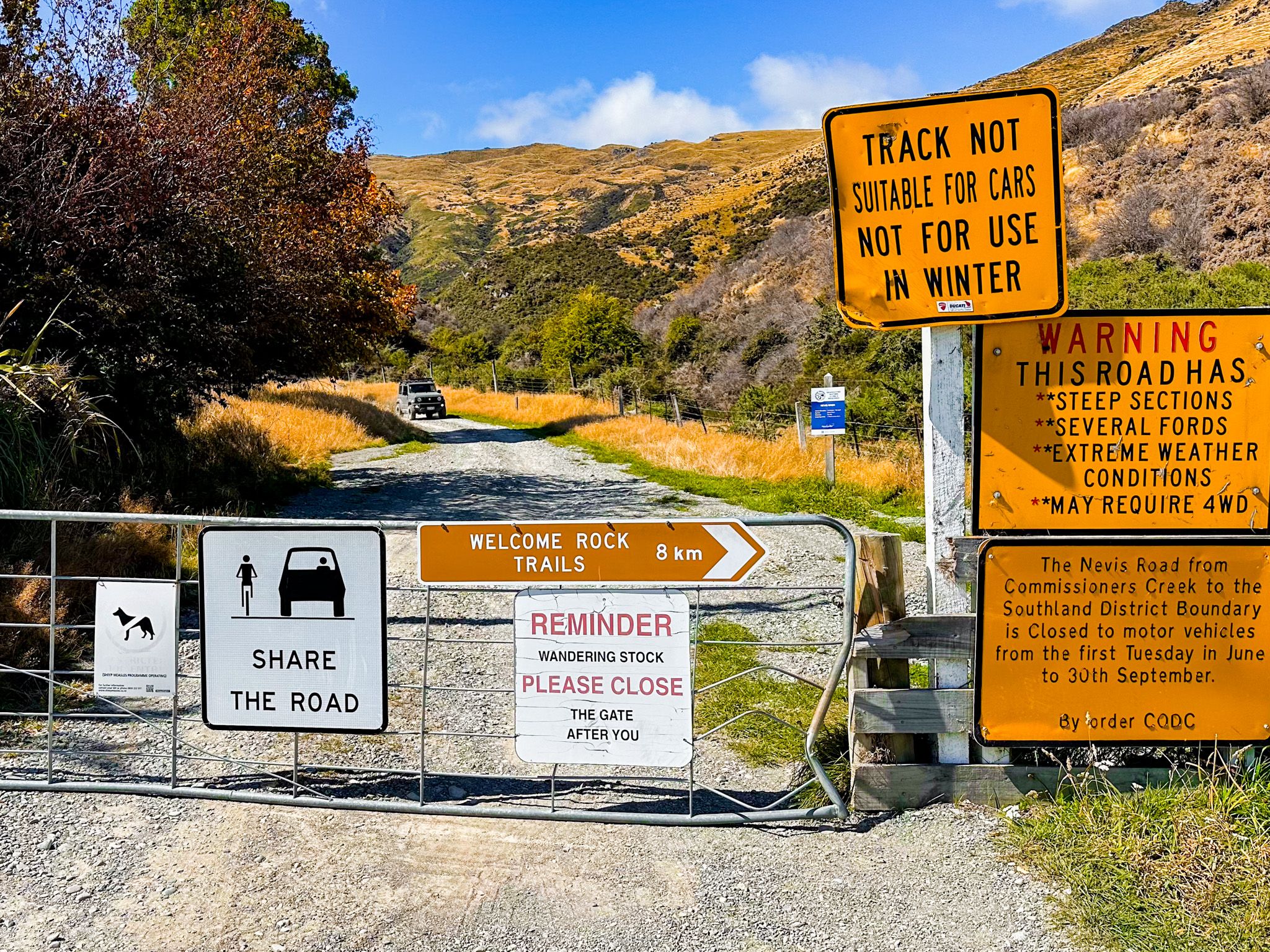
Despite the warnings at the bottom of the road, it is a comfortable, if cautious, drive in a 2WD. Beyond the ski hut, the road quickly becomes one of the country’s most remote 4WD routes, traversing multiple fords all the way to the Nevis Valley, before again becoming suitable for a 2WD the remaining drive to Bannockburn and Cromwell via Duffers Saddle.
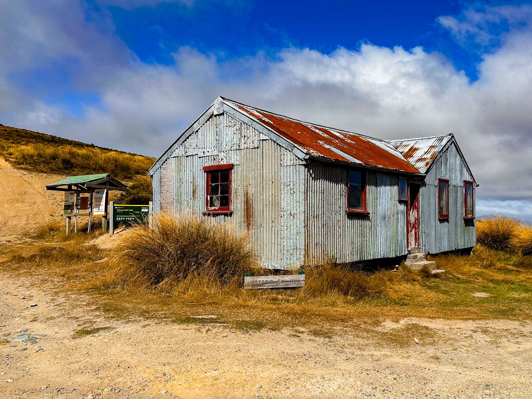
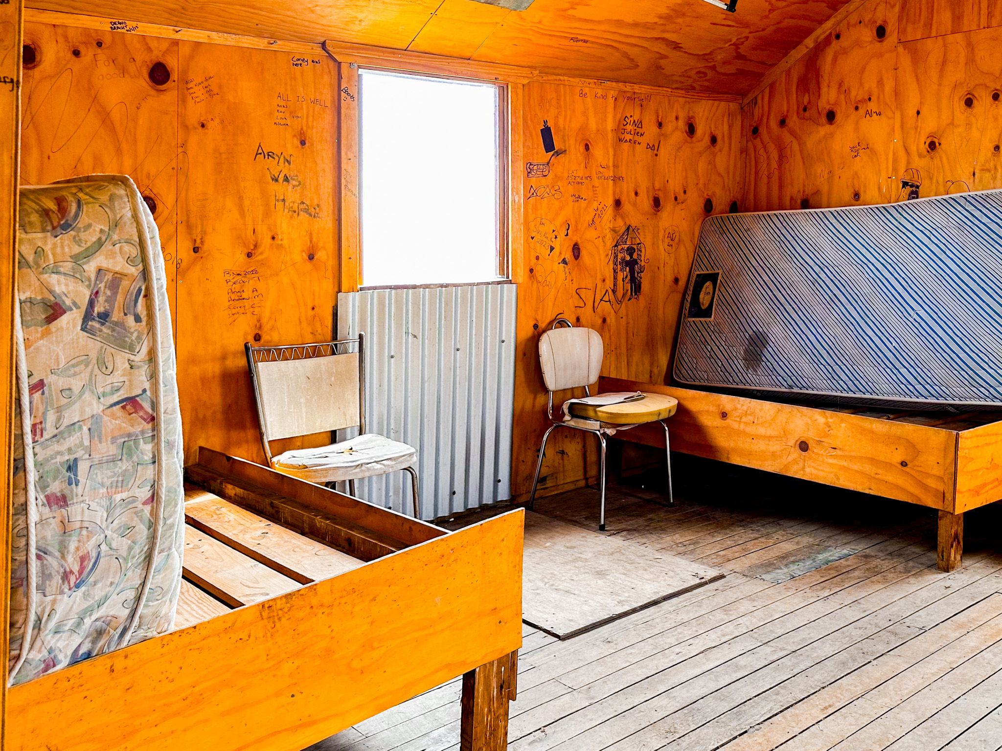
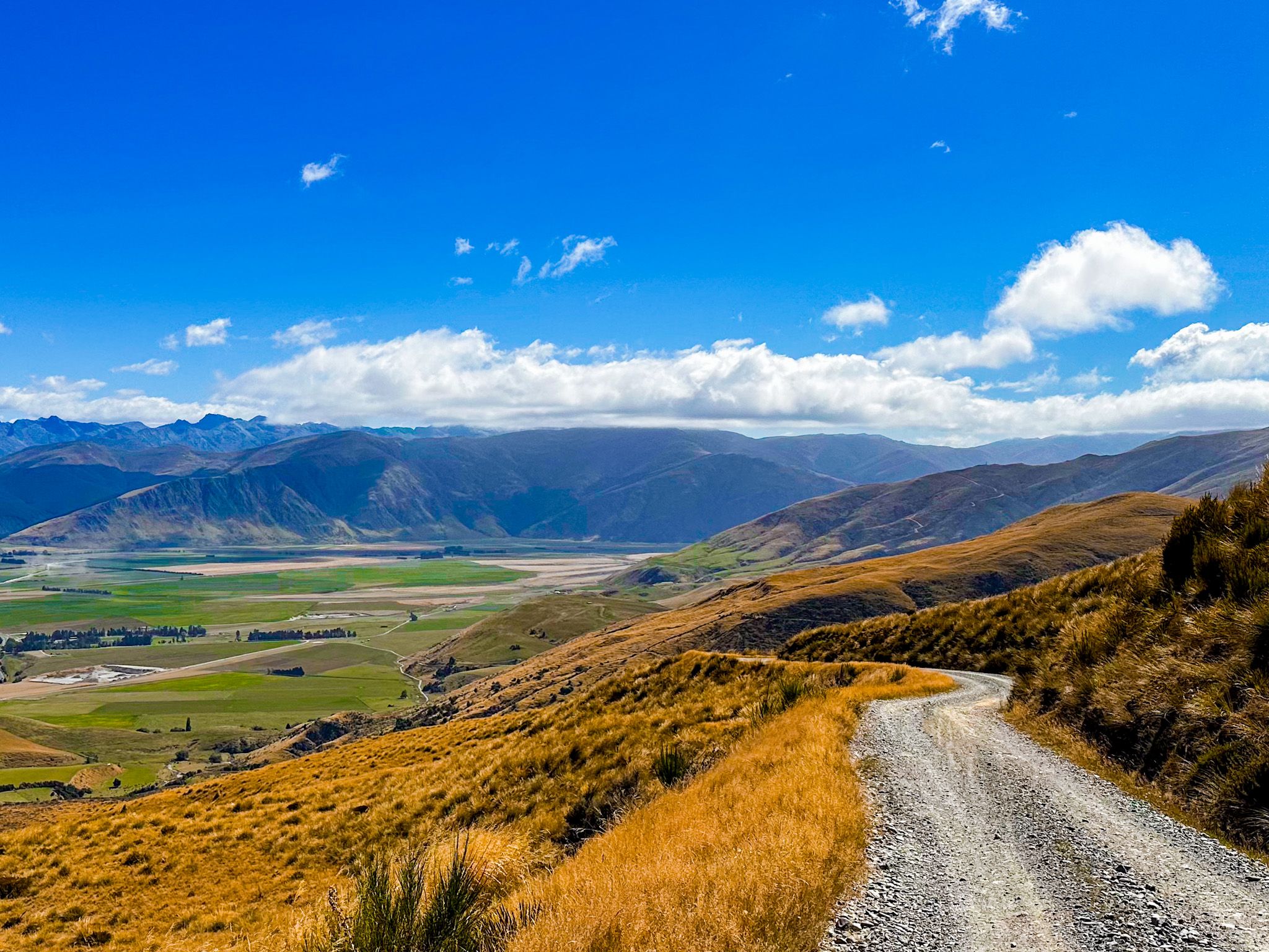
Views from the Garston Ski Hut
Perched at around 1,000 metres, the basic Garston Ski Hut was once part of the first ski field in the South Island, established by the Southland Ski Club around 1934. The life of the skifield proved to be limited as the development of Coronet Peak quickly surpassed it. The hut survived and can still be used as a shelter and for overnight stays today, although its condition is rather rough.
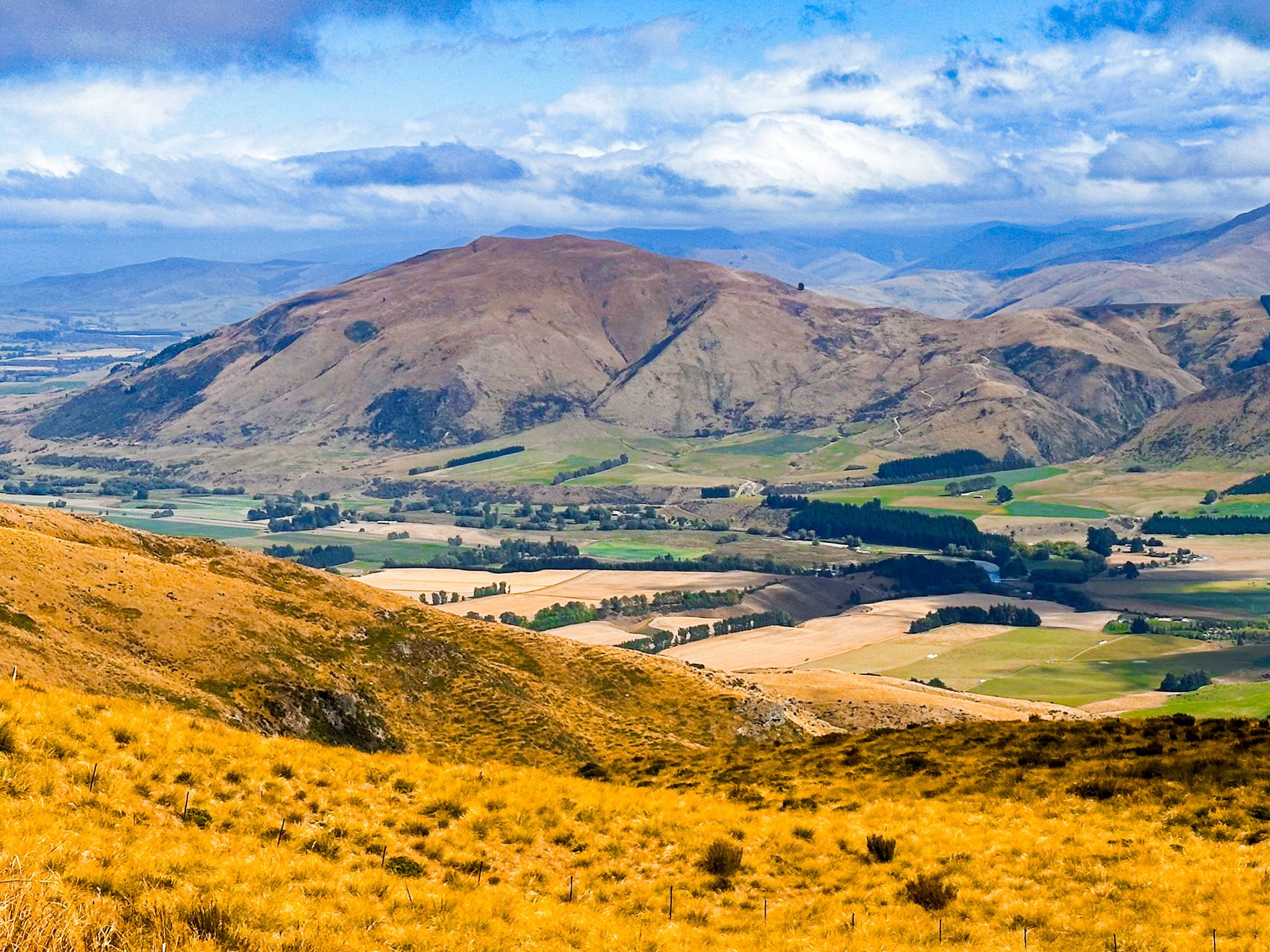
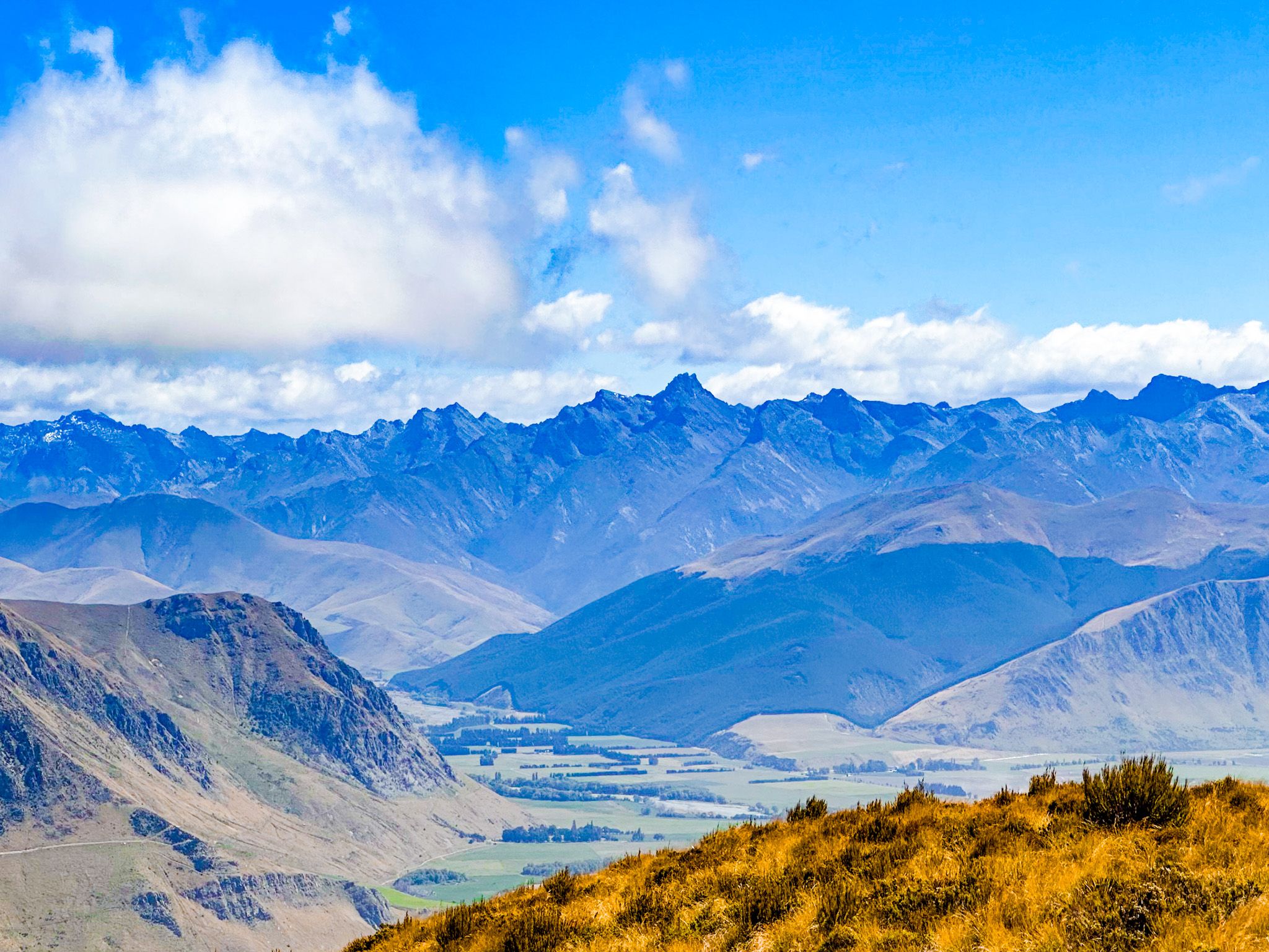
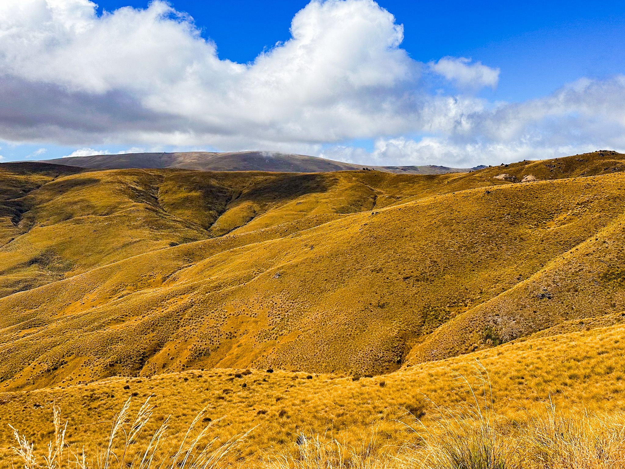
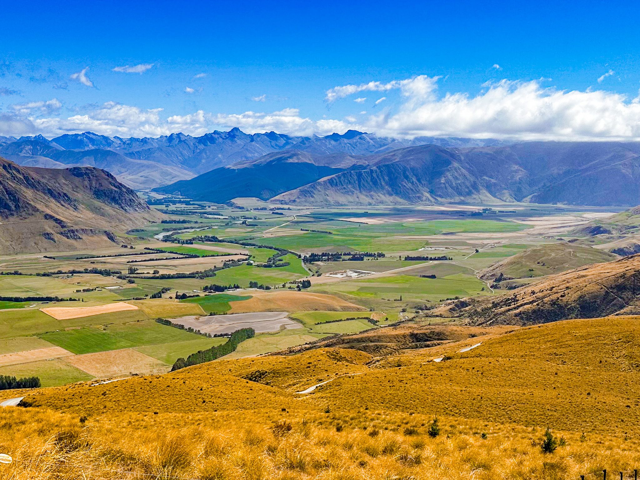
From around the hut, the views open up over vast stretches of golden tussock and the Mataura Valley to the west. It is a dramatic stop, and the steep-sided, but unnamed mountains, on the west side of the valley, are especially photogenic, rising sharply from the valley’s farmed flats.
Private access and high-country trails
Just beyond the Garston Ski Hut, the private Roaring Lion Trail provides access to privately owned high country. This track traverses ridges and valleys, marked by historic water races and rock outcrops. Access is by arrangement at Welcome Rock and can include overnight stays at a back-country hut or a long day loop on foot or bike.
How to get there
To reach the southern end of Nevis Road, turn off State Highway 6 just north of Garston.
Other nearby places to explore include Kingston at the southern end of Lake Wakatipu, Fairlight with a historic railway station, and the caravan cafe, gallery, and railway history at Garston.