A Waterfall Track Behind Havelock
The Waterfall Track begins on the western edge of Havelock and climbs directly into the hills behind the settlement. It is part of the Mount Takorika track network, leading into shaded regrowth forest and past several cascades before joining other routes toward the 721-metre summit of Mt Takorika. From the ridges, the views extend widely across the Pelorus Sound and the valleys inland. The track to the waterfall is quite steep but of good quality and only climbs about 80 metres. However, options that take you to the top are tramping grade.
Into the Gully and to the Cascades
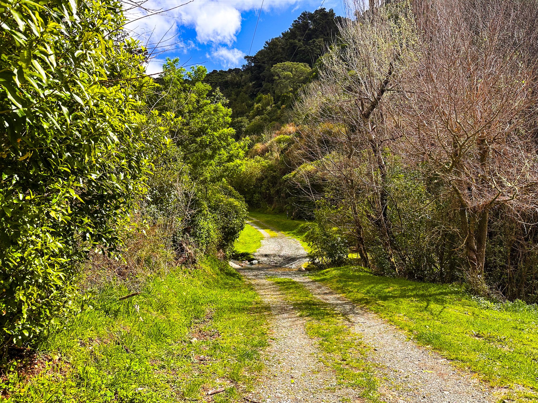
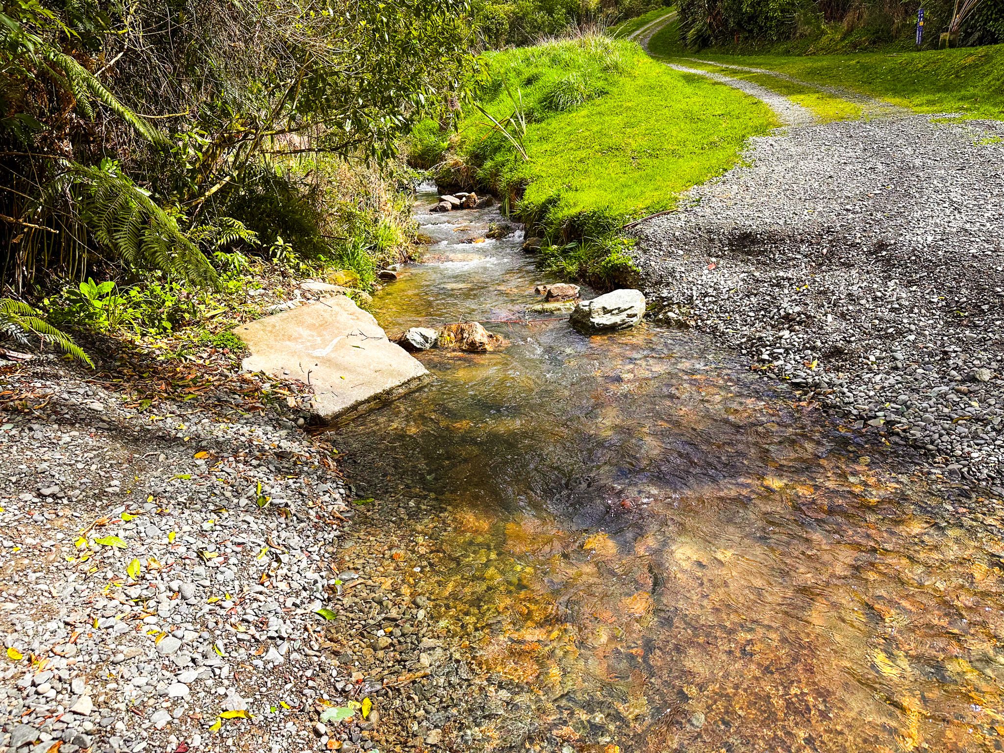
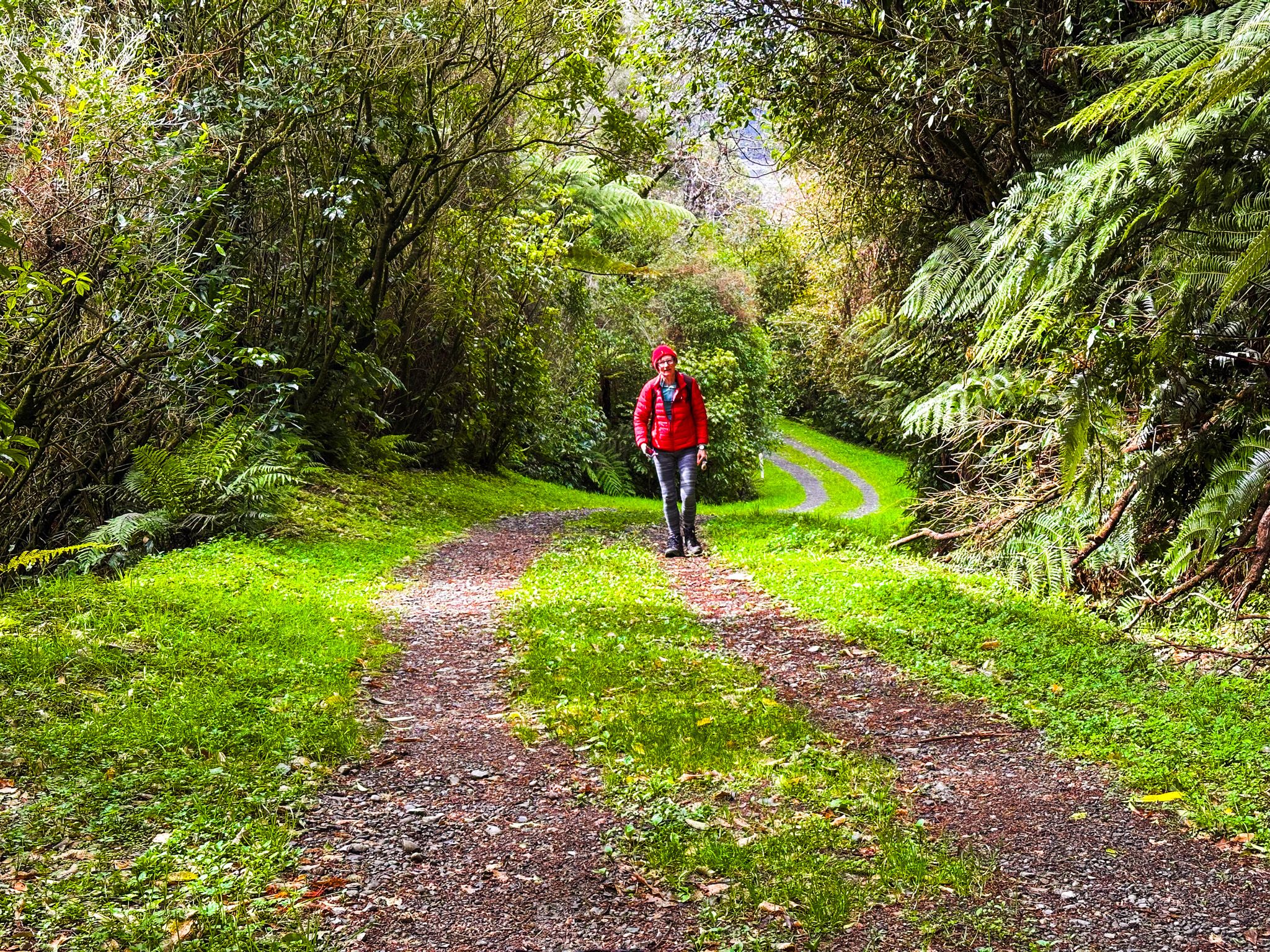
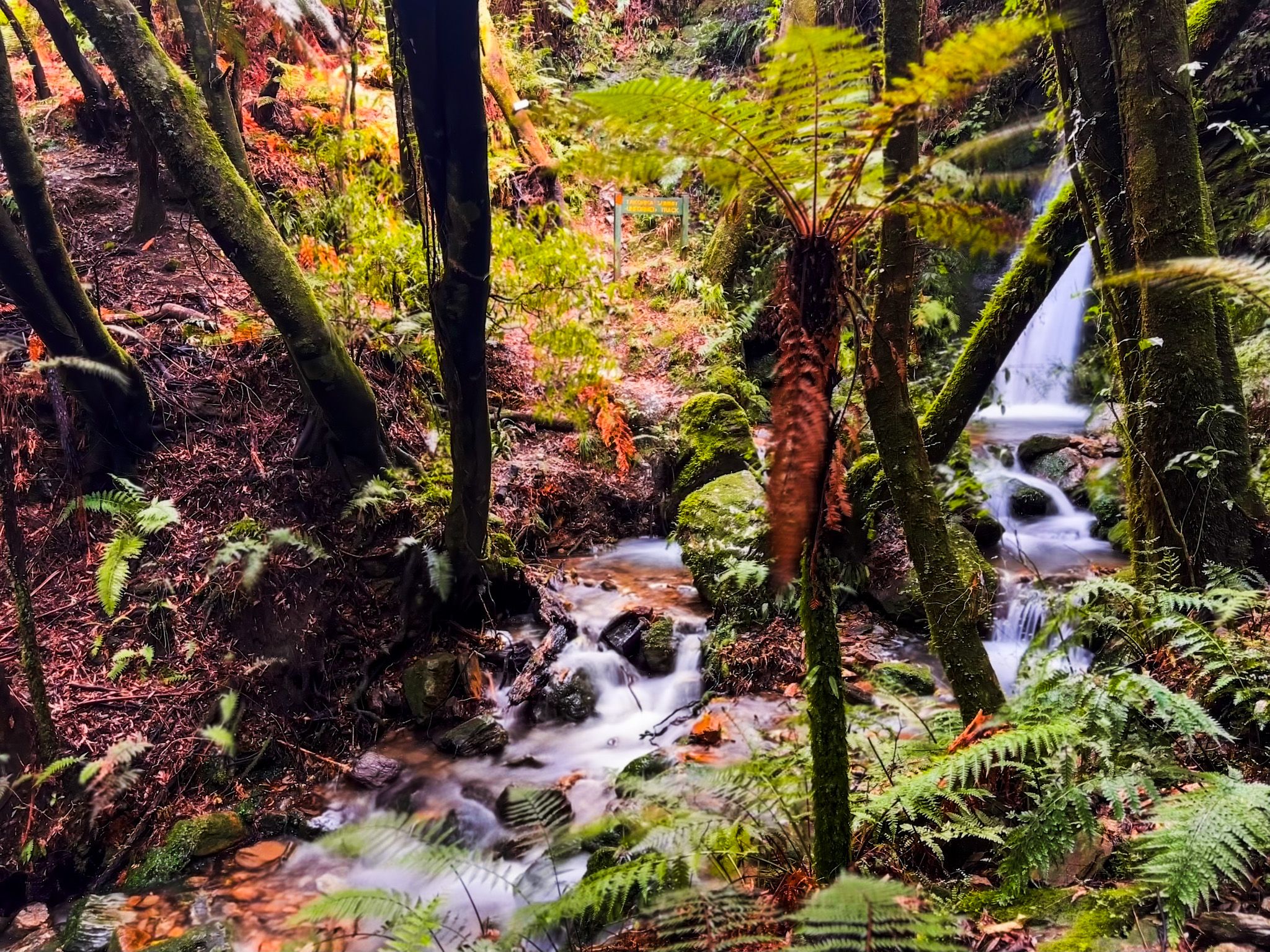
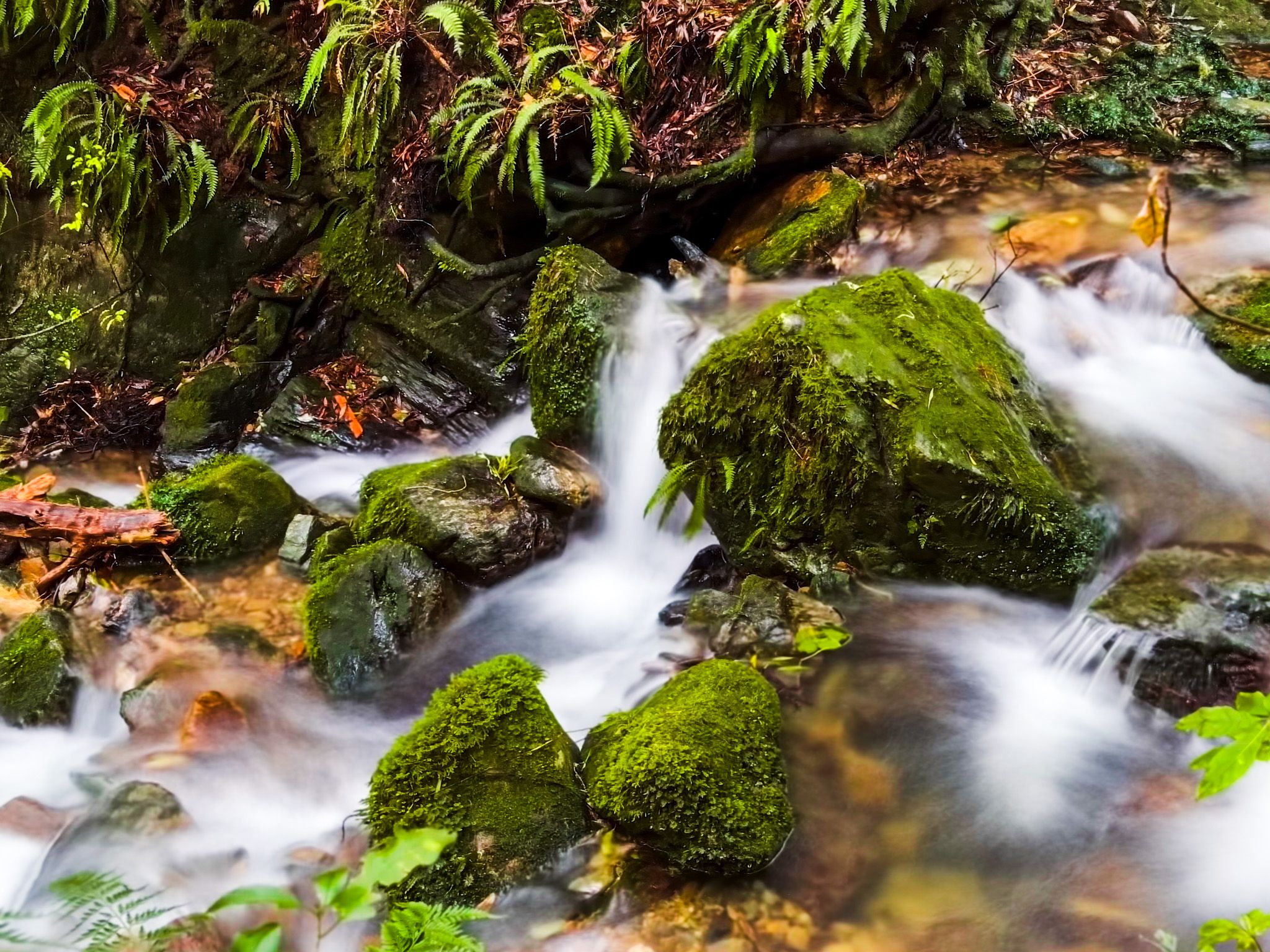
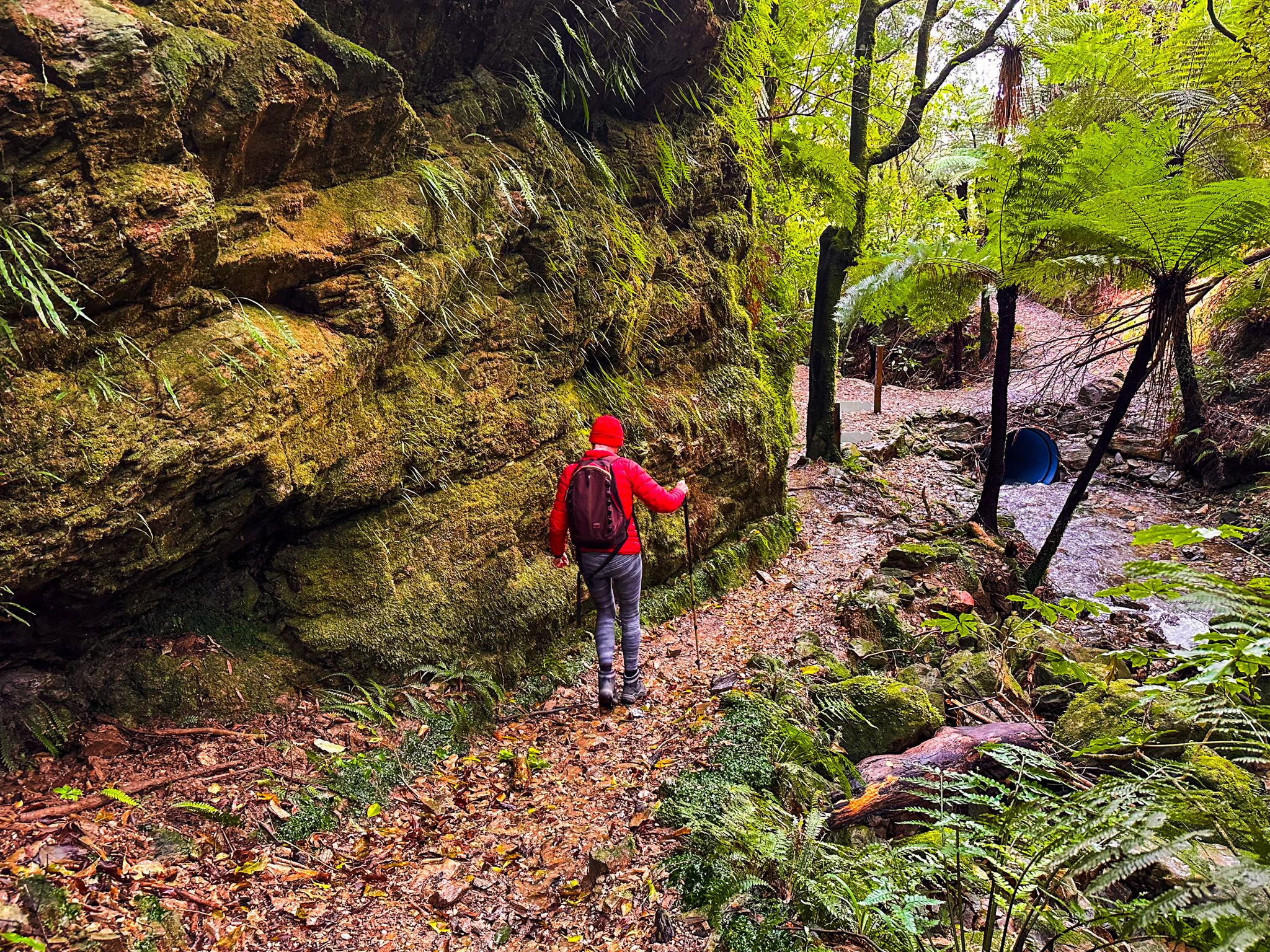
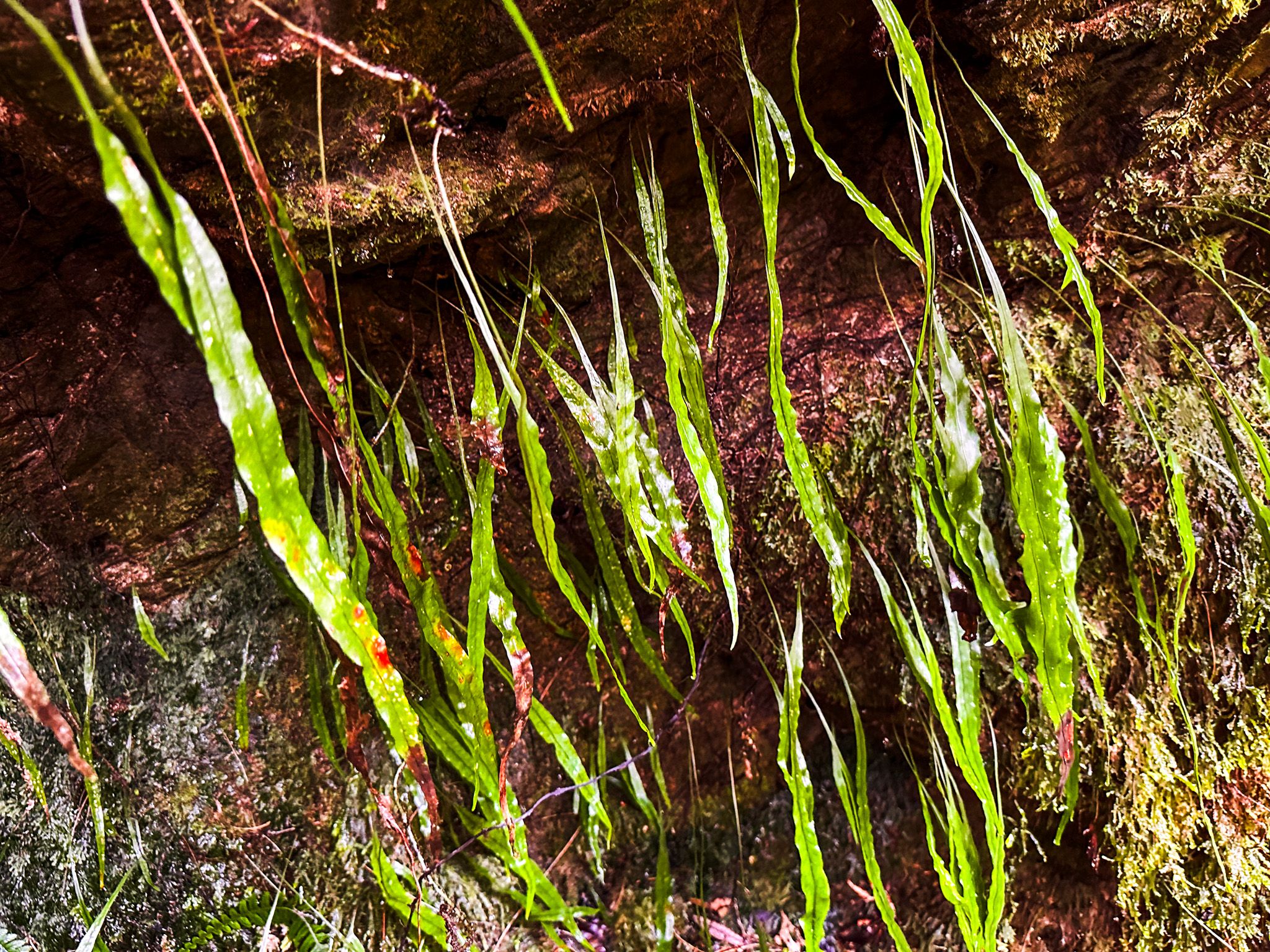
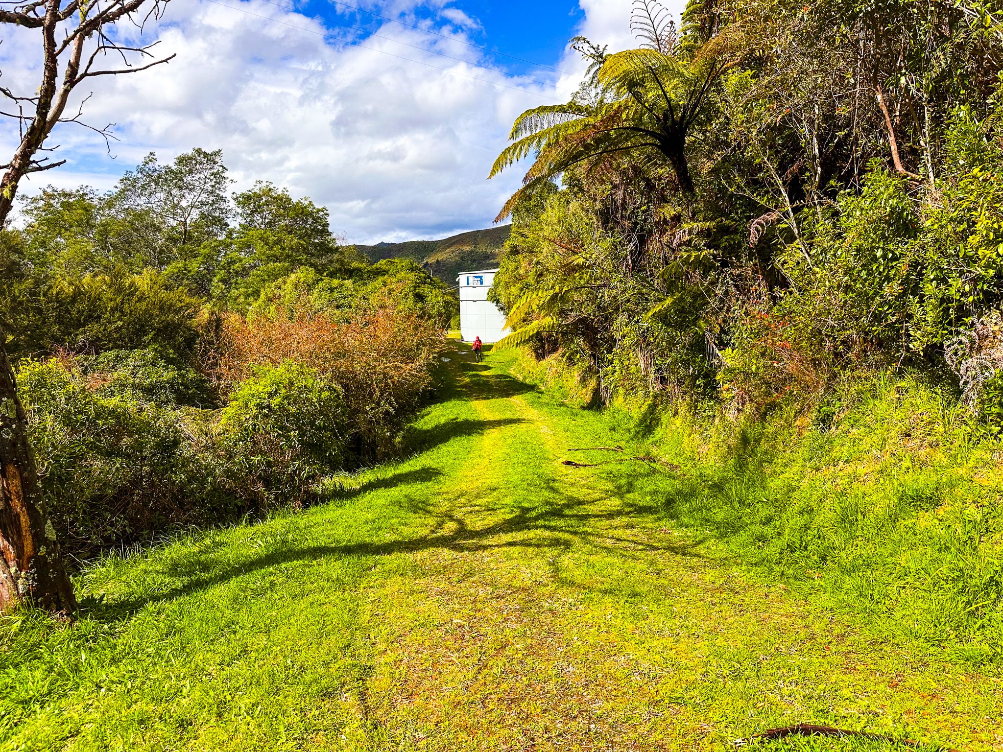
The track starts at the end of Lawrence Street and crosses a stream. On the other side of the stream, local volunteers have provided handcrafted walking poles for use on the track; a nice touch!. From there, it is an easy but quite steep walk up a gravel road to the site of the town water tanks. After that, you enter a track surrounded by regrowth forest, above the tumbling stream.
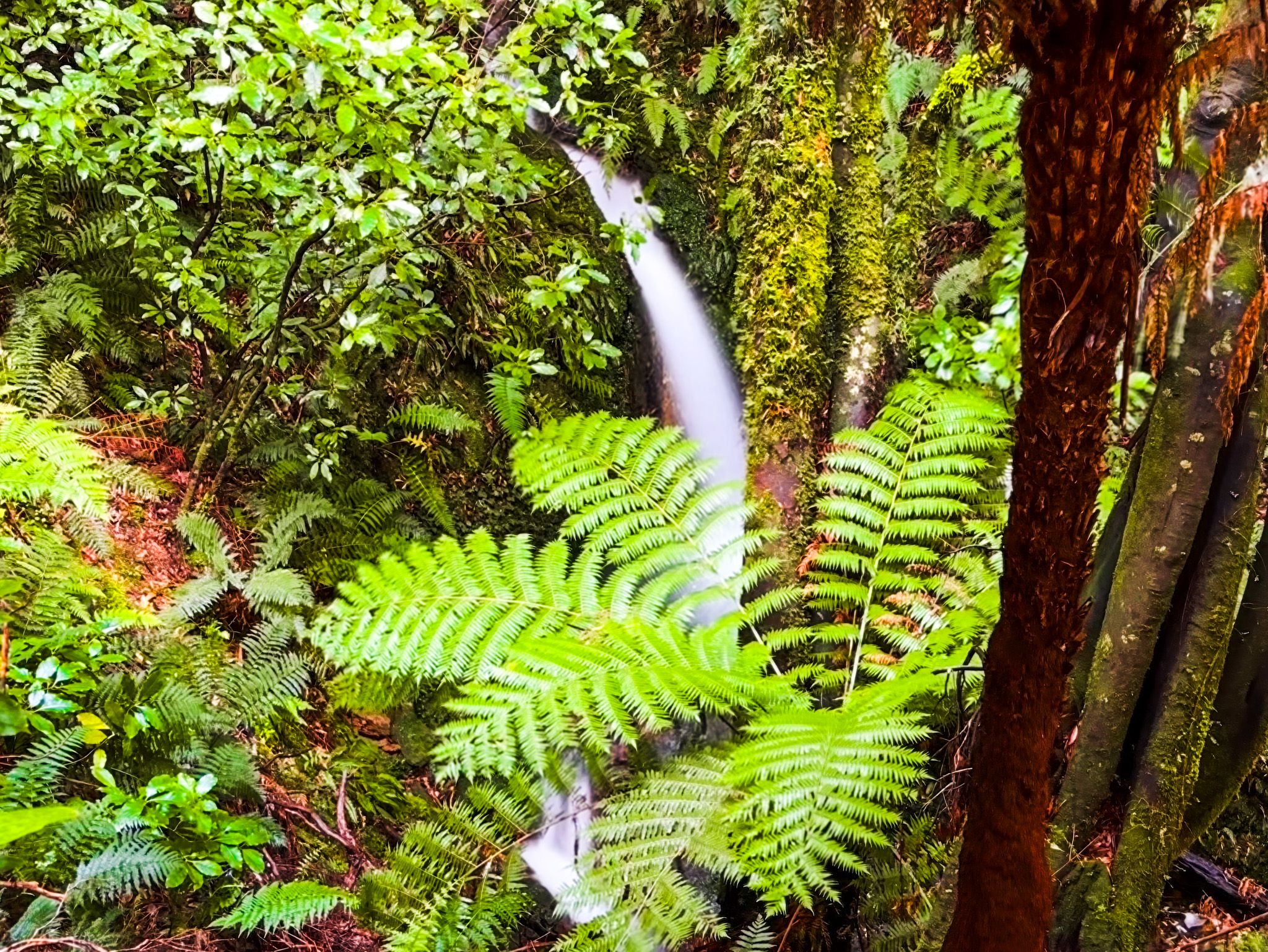
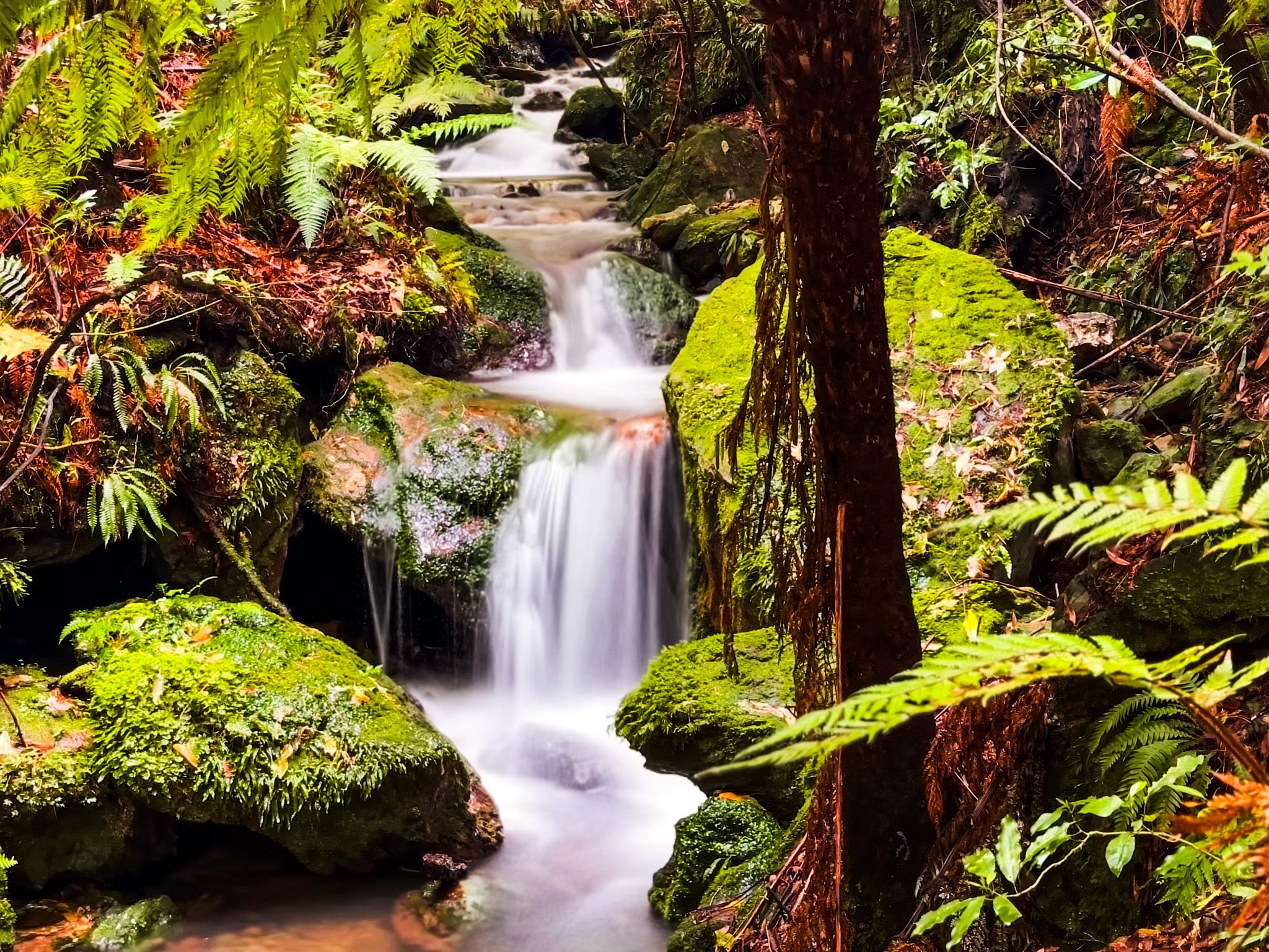
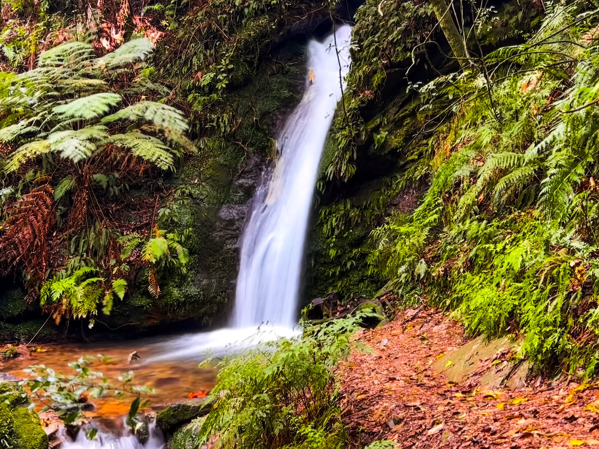
Within a few minutes, you will spot the first cascades, and shortly after that, you will reach the main 6 metre high waterfall, framed by native bush of māhoe, ferns, and supplejack. You need to cross the stream at the base of the falls to continue on this route to the top, but it can be avoided by backtracking a short distance and taking the Main Track..
Climbing Toward the Summit
Once on the Main Track, you can continue to the top of Mt Takorika. The climb is steady and demanding in places, but the reward is a trig point and viewing platform at the summit, with views of Havelock, Pelorus Sound, and the surrounding hills. On the way back, you can take the Goat Track, which connects to the Town View Trail or the Ridge Track. The entire loop to the summit and back can take three to four hours, while the return walk to the waterfall takes around 40 minutes.
Note that the higher up the slopes are, the more open the scrubland with better views. Conditions can be muddy after rain, and sections of gorse are present on the ridges.
Getting There
From central Havelock, follow Lawrence Street uphill from State Highway 6 to the trail entrance. Parking is at the roadside near the track sign. There is a map panel where you can take a photo, then follow the signs for the Waterfall Track or your preferred route.
After your walk, you can return to Havelock for cafés and the museum, take a drive to Cullen Point Scenic Reserve for coastal views across the Sounds or explore Canvastown and the Wakamarina Valley or Pelorus Bridge.