Discover the Dramatic Milford Sound Highway
The Milford Sound Highway, a section of State Highway 94 in Fiordland, stretches between Marian Corner and Milford Sound. Known as New Zealand's most dramatic mountain road, it becomes even more breathtaking in the rain when hundreds of waterfalls cascade down the cliffs.
Historical Background
The idea of a road to Milford Sound was first proposed around 1890, with a route surveyed from Te Anau. However, it wasn't until the Great Depression, 40 years later, that the project gained momentum as a make-work scheme.
A work camp was established at Marian Corner, and by 1935, a rough road extended to the start of the Homer Tunnel. The 1.2 km tunnel was manually excavated, reaching the west side in 1940. World War II delayed the project, and it wasn't fully completed until 1953. The road was finally sealed in the 1980s.
Scenic Journey Through Fiordland
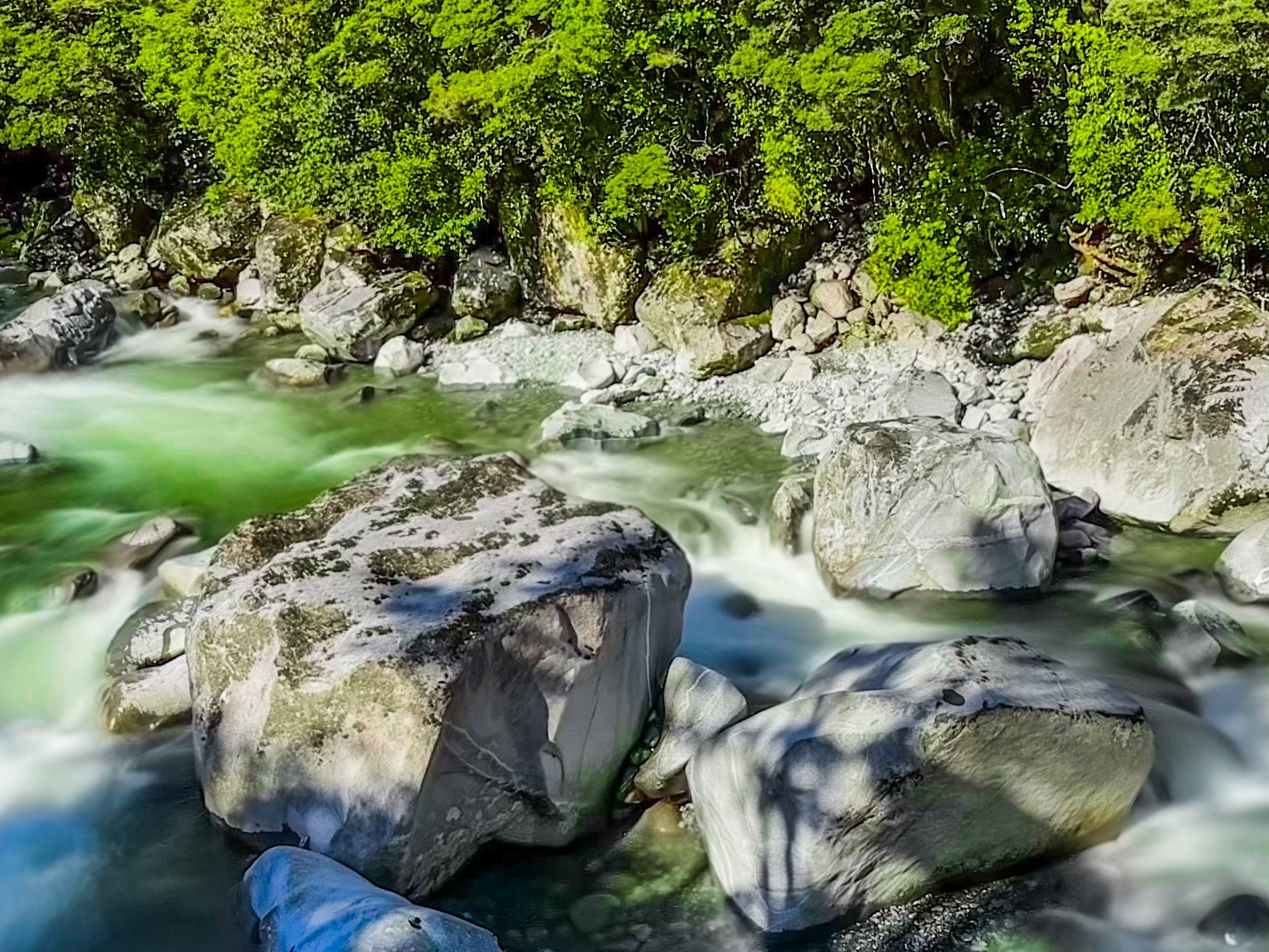
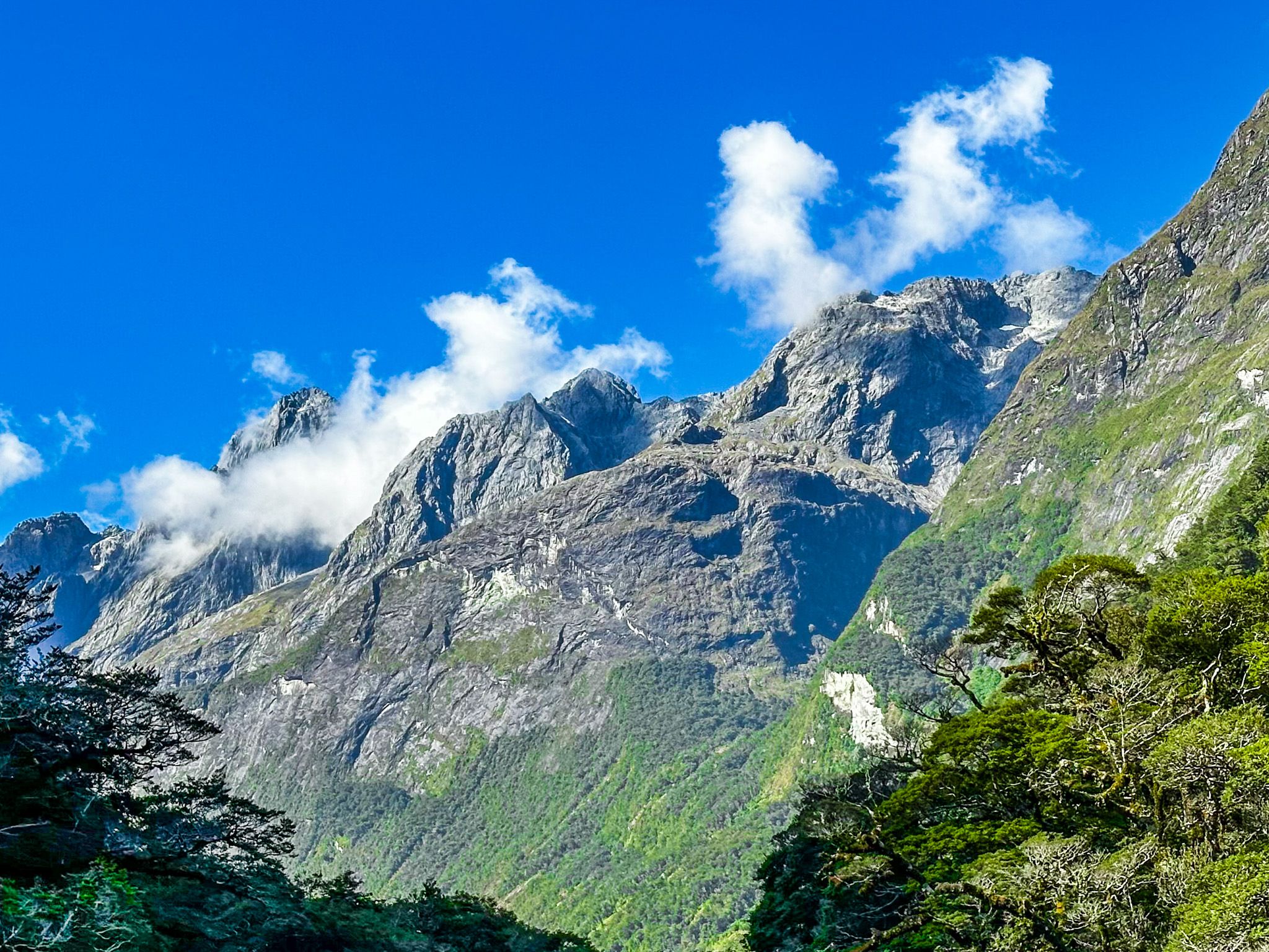
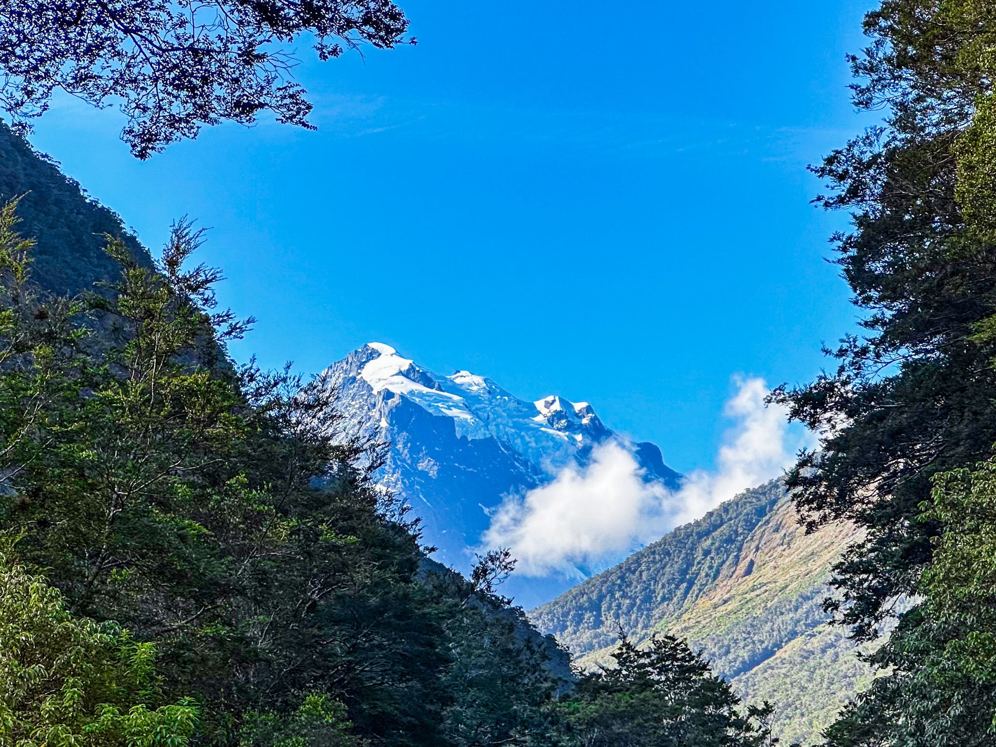
The journey begins with stunning views along the Hollyford Valley from Pops View, descending to Marian Corner and the Hollyford River / Whakatipu Kā Tuka. The road passes Christie Falls and begins a 500-metre ascent to the Homer Tunnel. This section traverses a U-shaped valley between the Darran Mountains to the north and the Earl and Wick Mountains to the south.
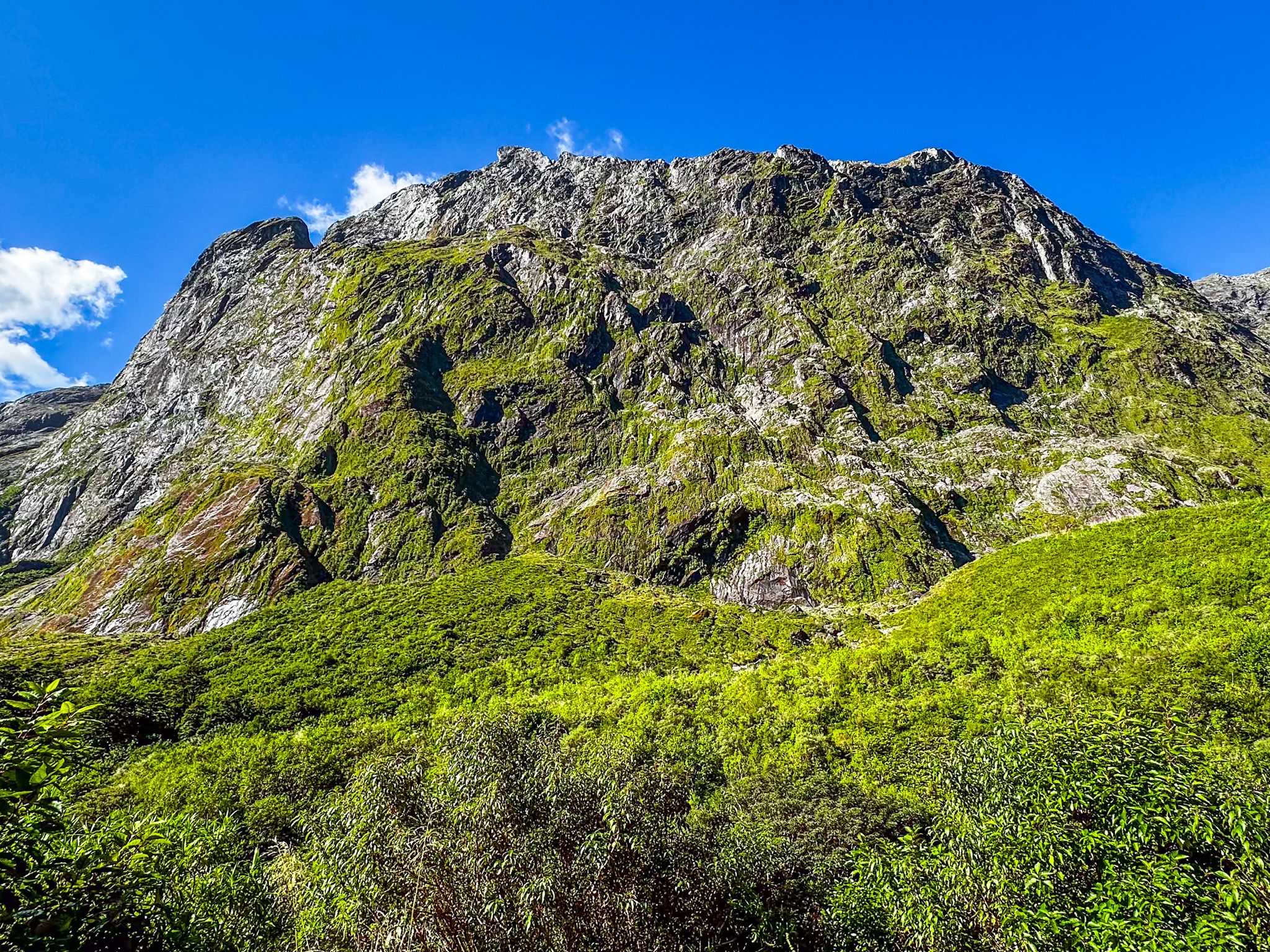
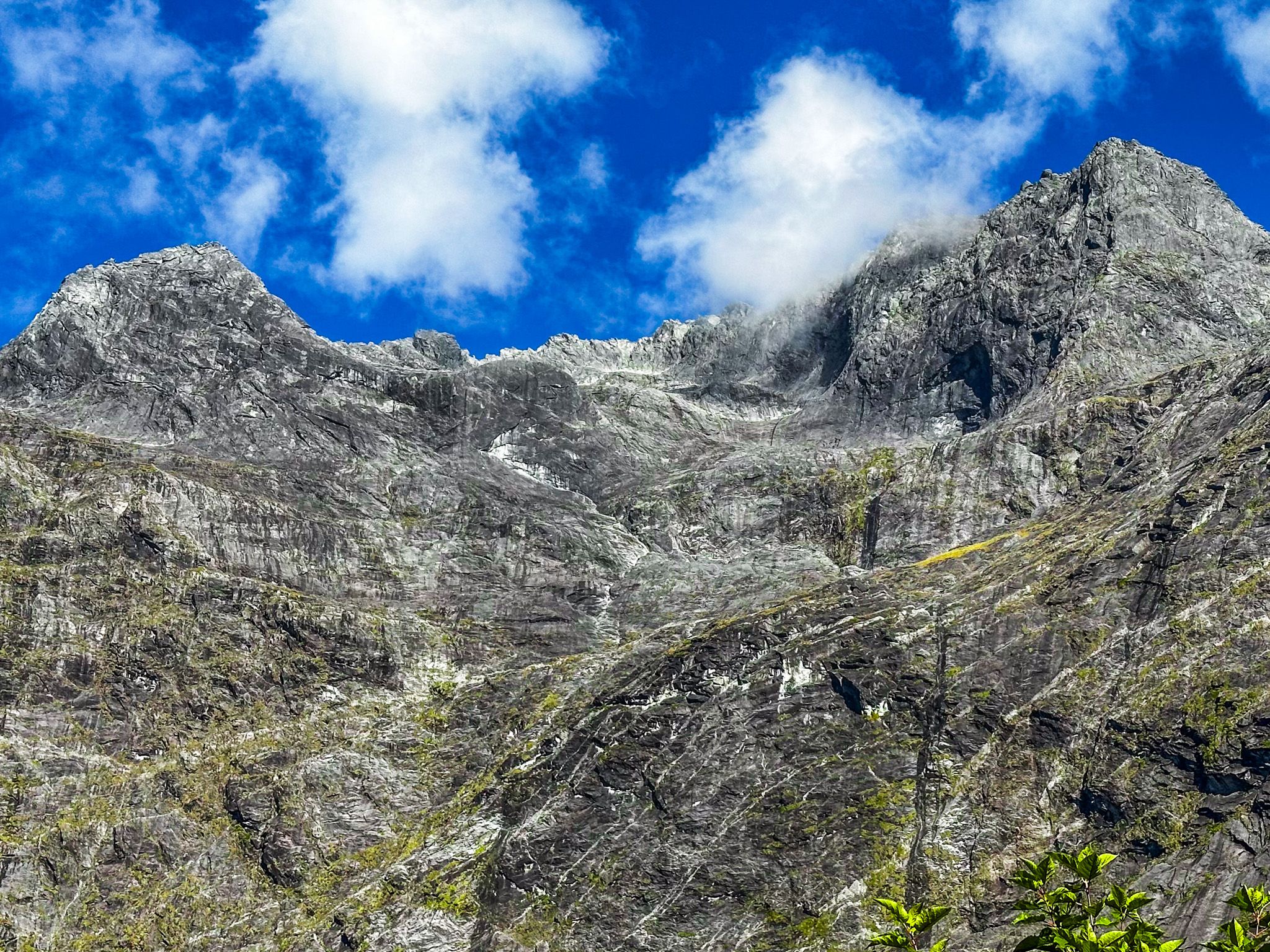
The landscape transitions from dense rainforest at the base to steep, bare rock mountainsides and cliffs sculpted by ancient glaciers. Near the top, the impressive cirque formed by the northern and southern mountain ranges, joined by the Homer Saddle, is a highlight. Several signposted safe stopping points are available, including a car park at the start of the Gertrude Saddle Route.
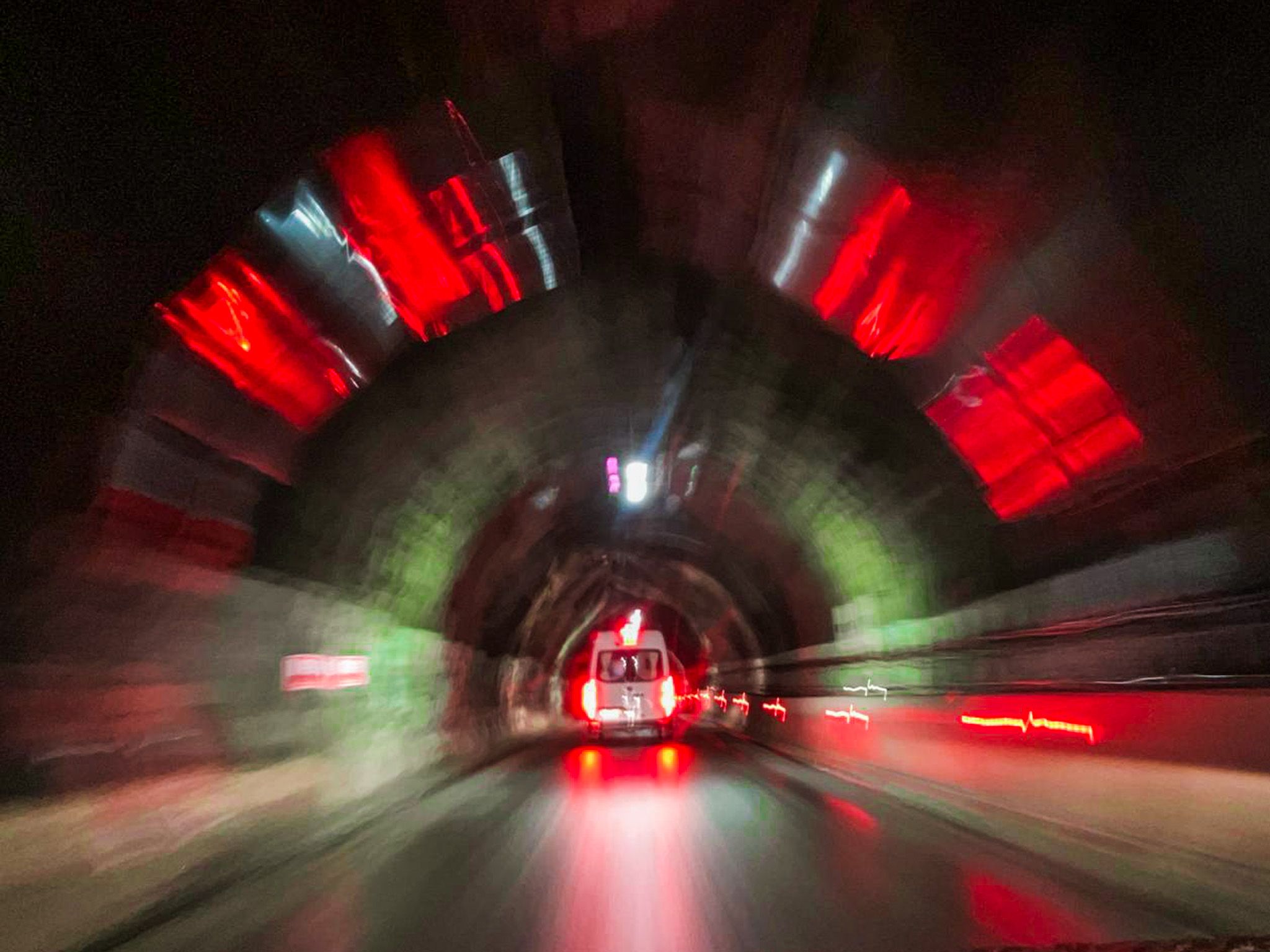
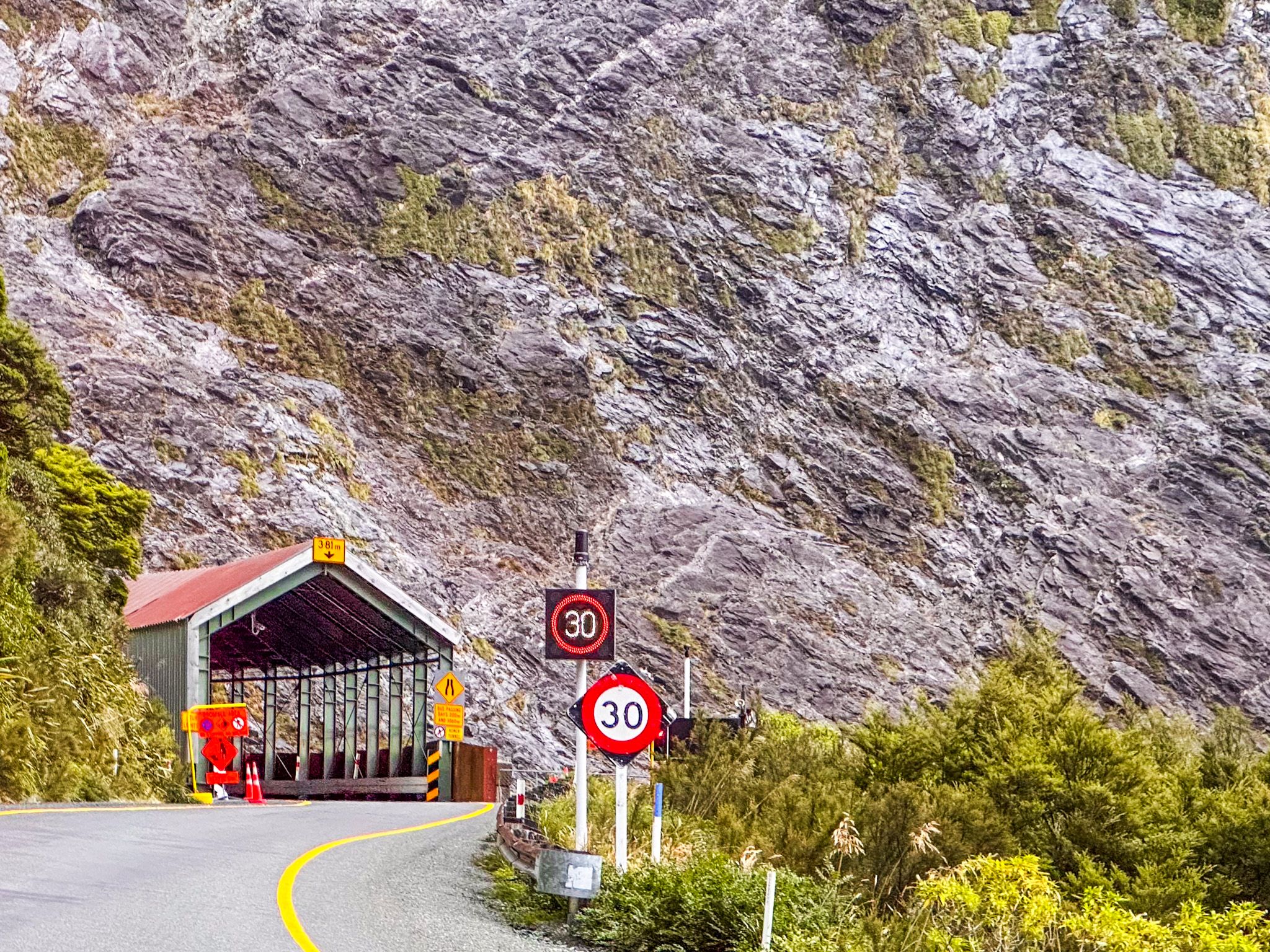
Through the Homer Tunnel
At the Homer Tunnel, located under Homer Saddle, you may need to pause as it is a one-lane tunnel controlled by traffic lights. Keep an eye out for keas, the curious alpine parrots.
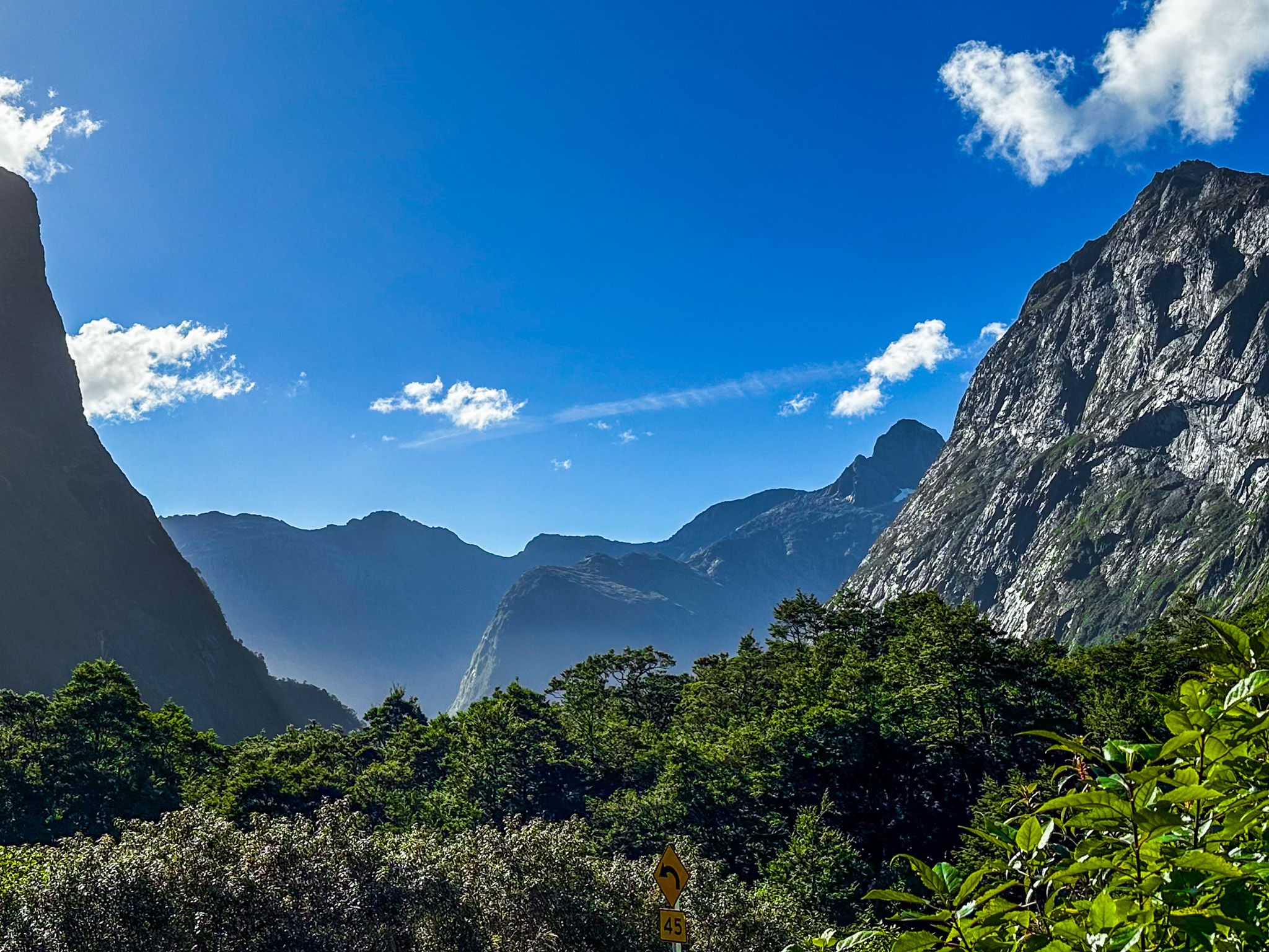
Exiting the tunnel, you'll enter an even more spectacular cirque, with views northwest into the U-shaped Cleddau Valley. The road features steep switchbacks descending to the forested valley floor, then follows the valley to Milford Sound. Safe stopping points along the switchbacks allow you to take in the stunning vistas.
Exploring the Valley Floor
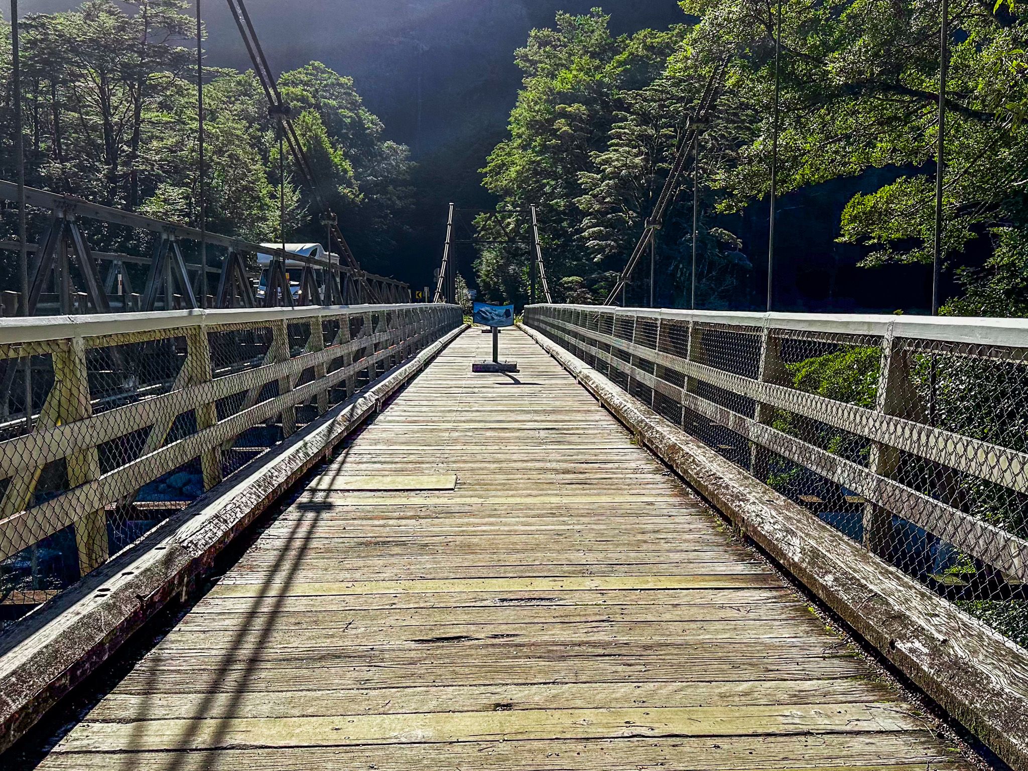
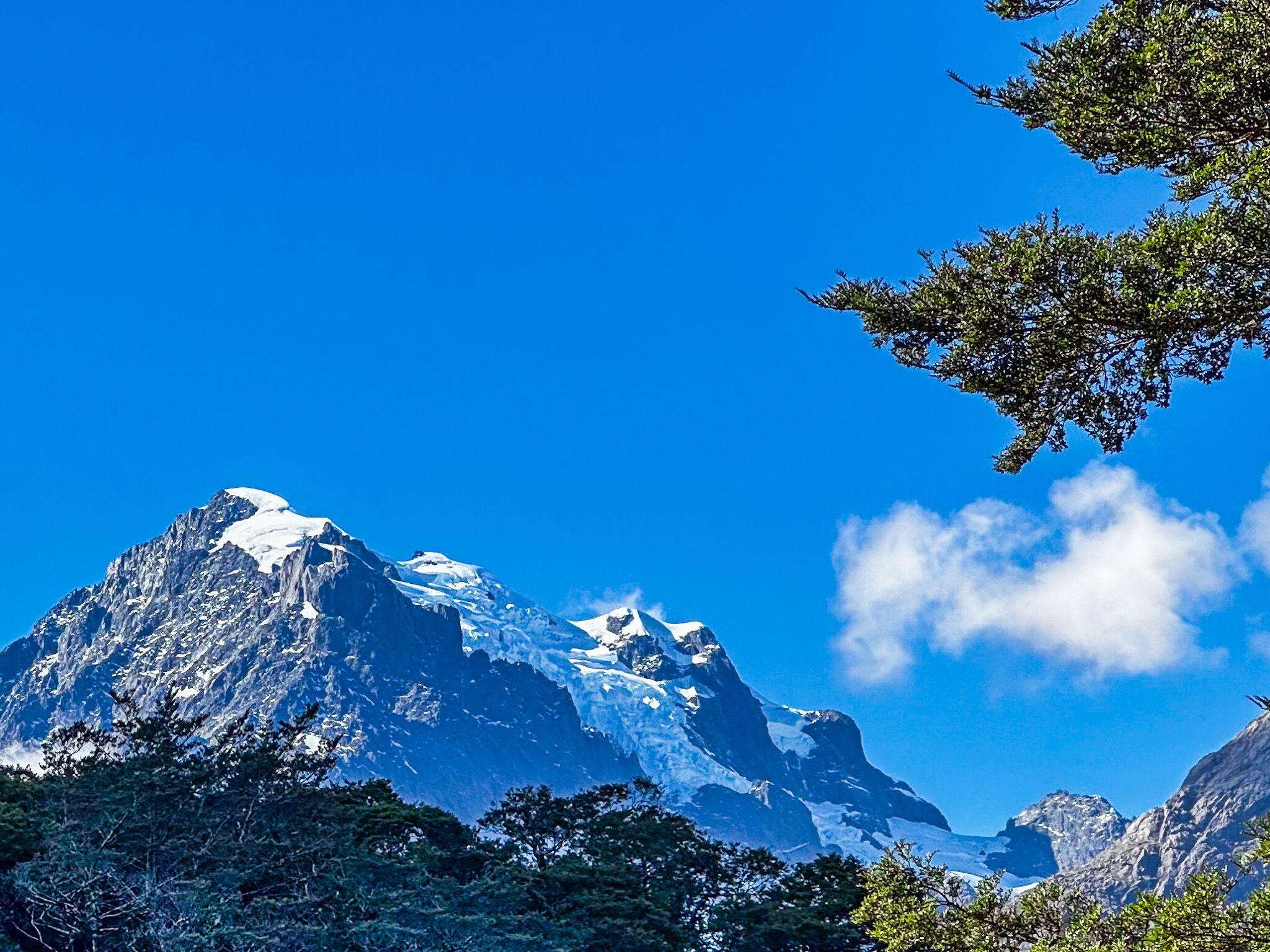
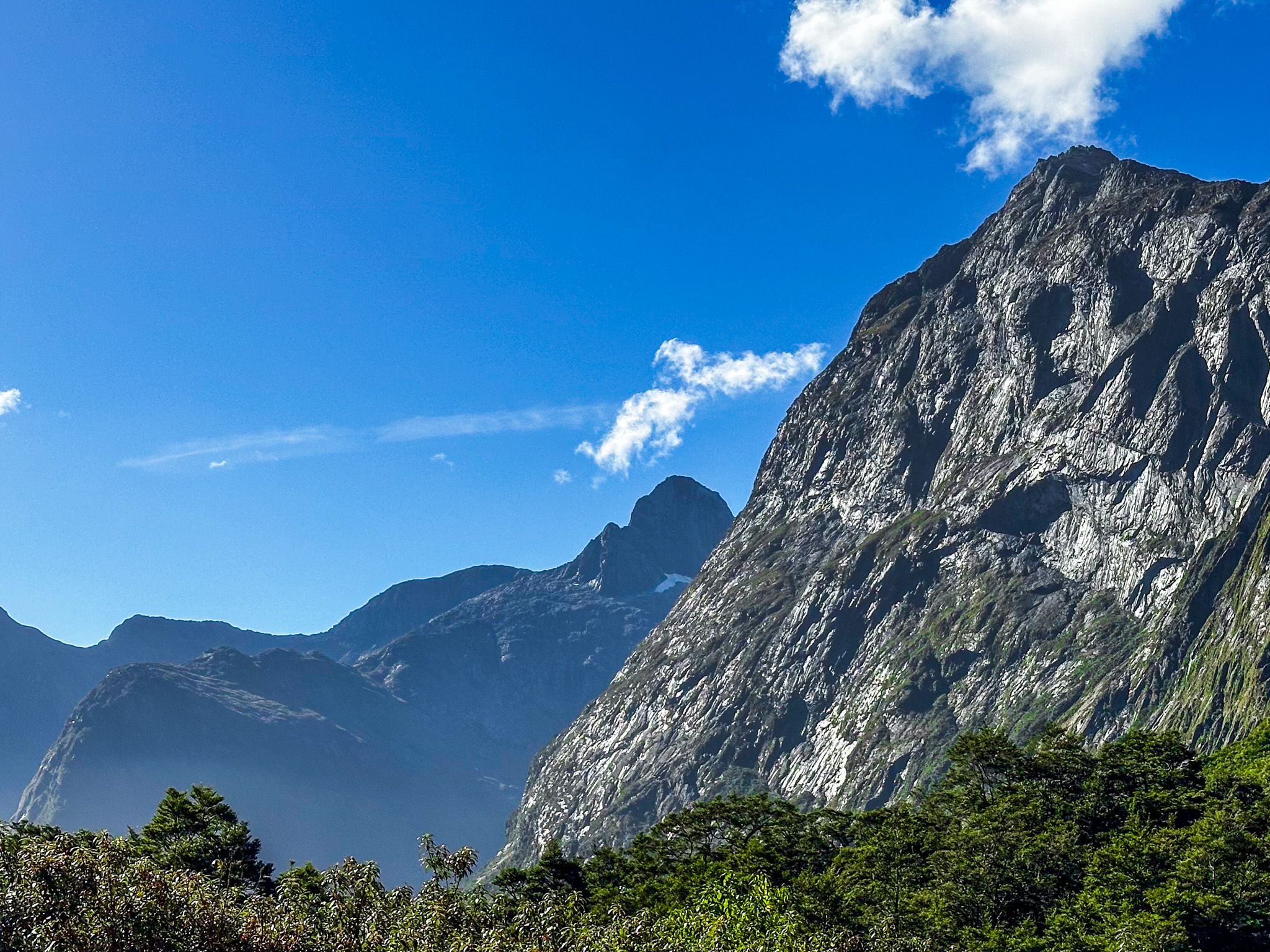
On the valley floor, an easy walking track at The Chasm offers a chance to stretch your legs. Nearby, the historic suspension bridge over the Tutoko River provides the best views of Mount Tūtoko, the highest peak in Milford Sound, at 2,723 metres. Named after a Māori chief from Martin's Bay, this mountain is a sight to behold. For those with time and favourable weather, a challenging tramping route leads from the historic bridge up the Tutoko Valley.
Parking and Access
At the end of the road, a reasonably large car park is available near the village. However, parking can be difficult during busy times. If needed, consider parking on Deepwater Basin Road near the marina.
How to Get There
To reach the Milford Sound Highway, start from Te Anau and follow State Highway 94. The journey takes you through stunning landscapes and there are numerous opportunities to stop and enjoy the scenery.
Nearby attractions include the Hollyford Valley, with the Lake Marian Track and the Humboldt Falls, plus Lake Gunn and the west side of the Routeburn Track near The Divide, with short walk options to Key Summit and Earland Falls.