Discover Key Summit on the Routeburn Track
Key Summit, located on the west side of the Routeburn Track, offers a stunning half-day hike with breathtaking views and a unique alpine garden. This destination is easily accessible from The Divide car park on the Te Anau Milford Highway in Fiordland, making it a popular choice for visitors seeking a rewarding but manageable mountain experience.
The Routeburn Track to Key Summit
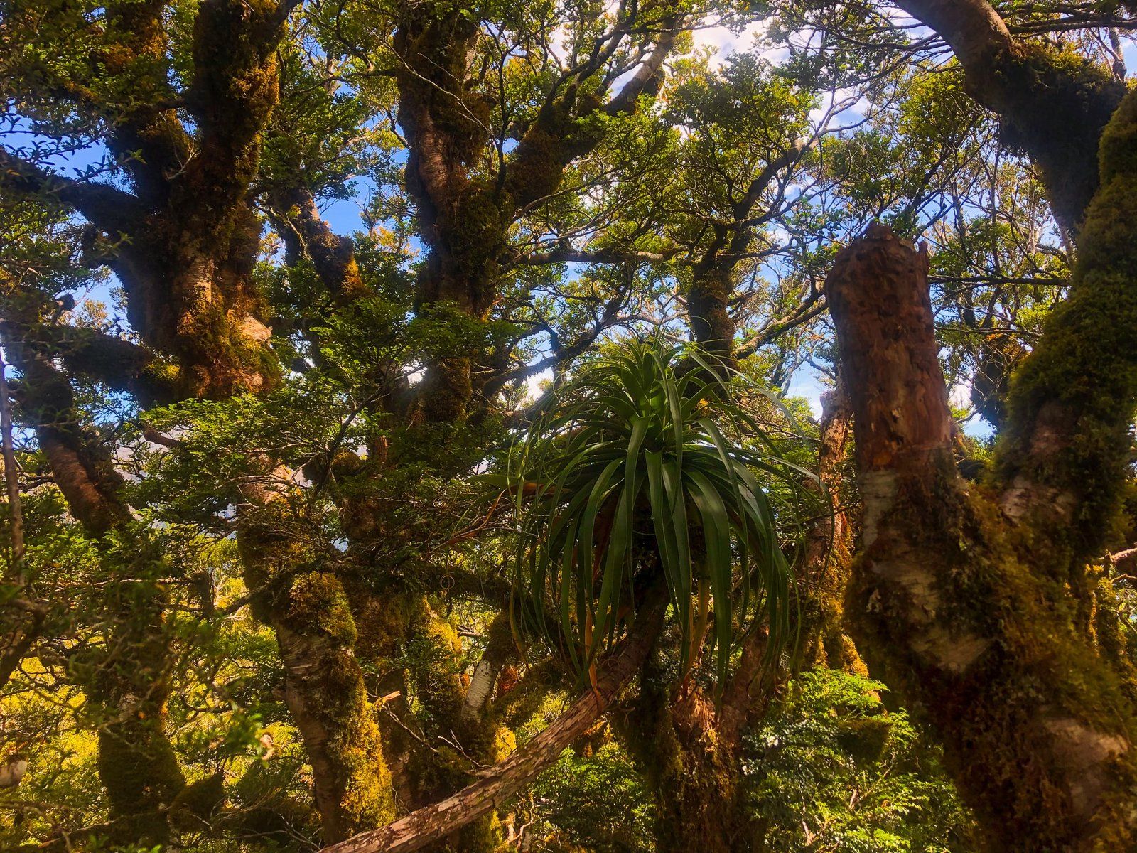
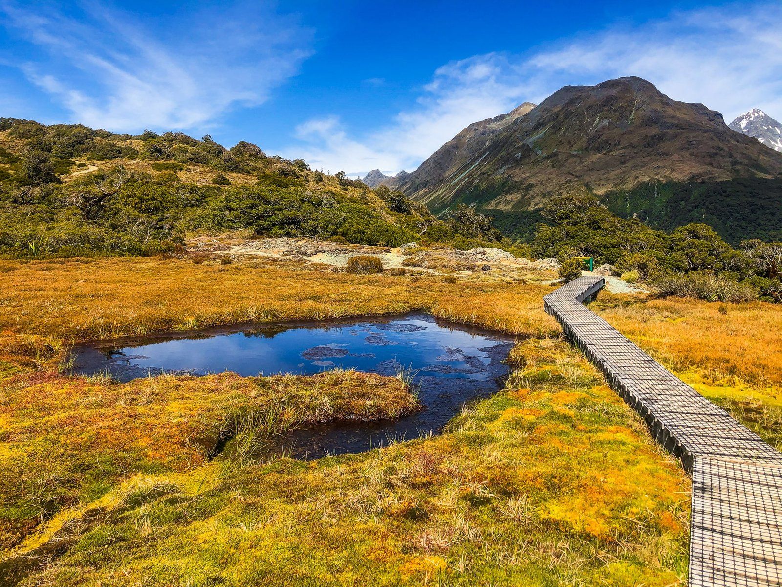
The hike begins at an elevation of 600 metres, winding through lush forest along a north-facing point for approximately two kilometres. The track then ascends to about 800 metres. From this point, hikers face a further 120-metre climb over one kilometre of open terrain to reach Key Summit. The well-maintained track takes just over an hour each way.
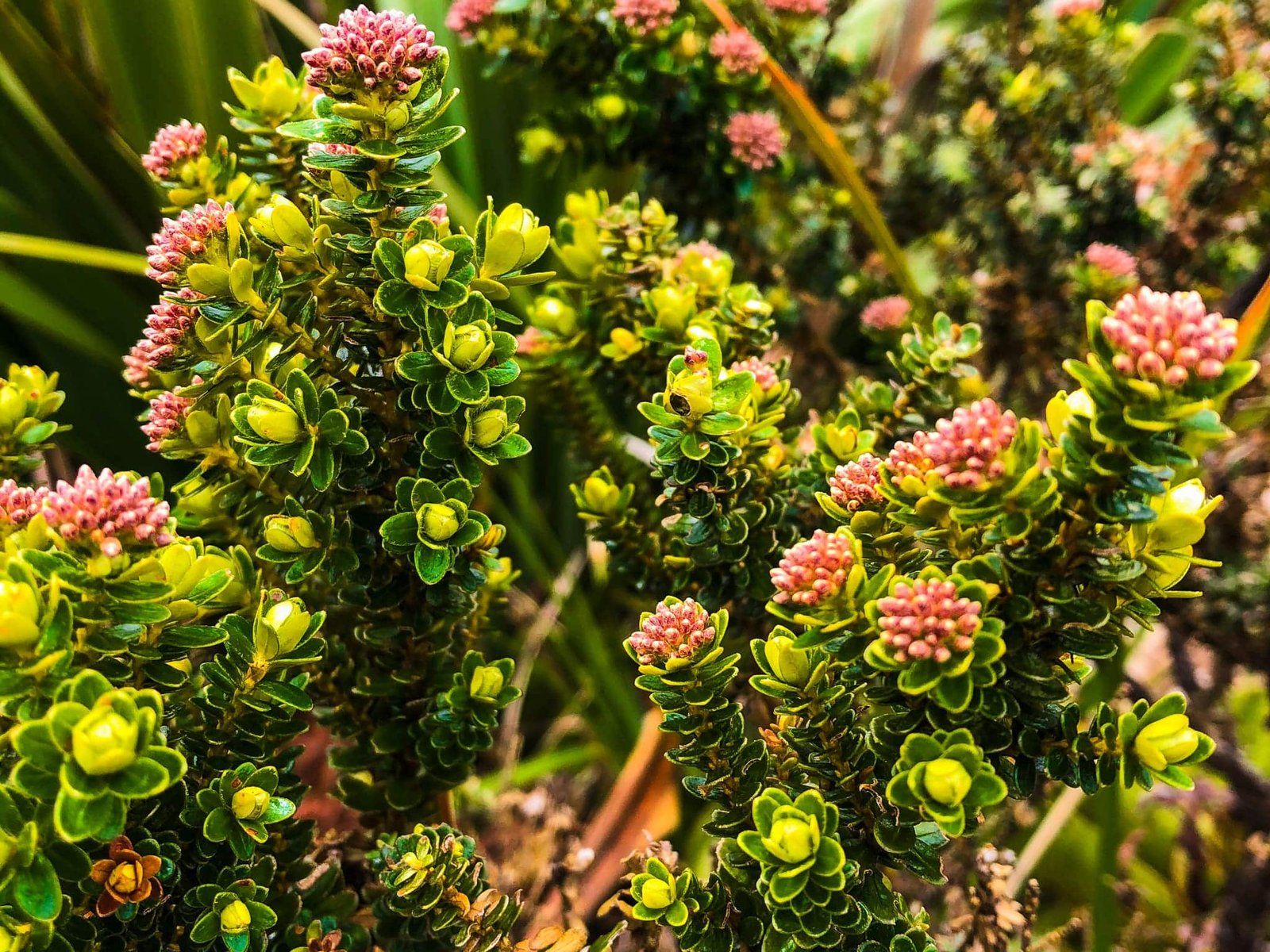
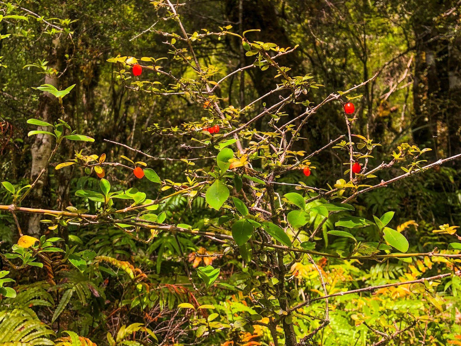
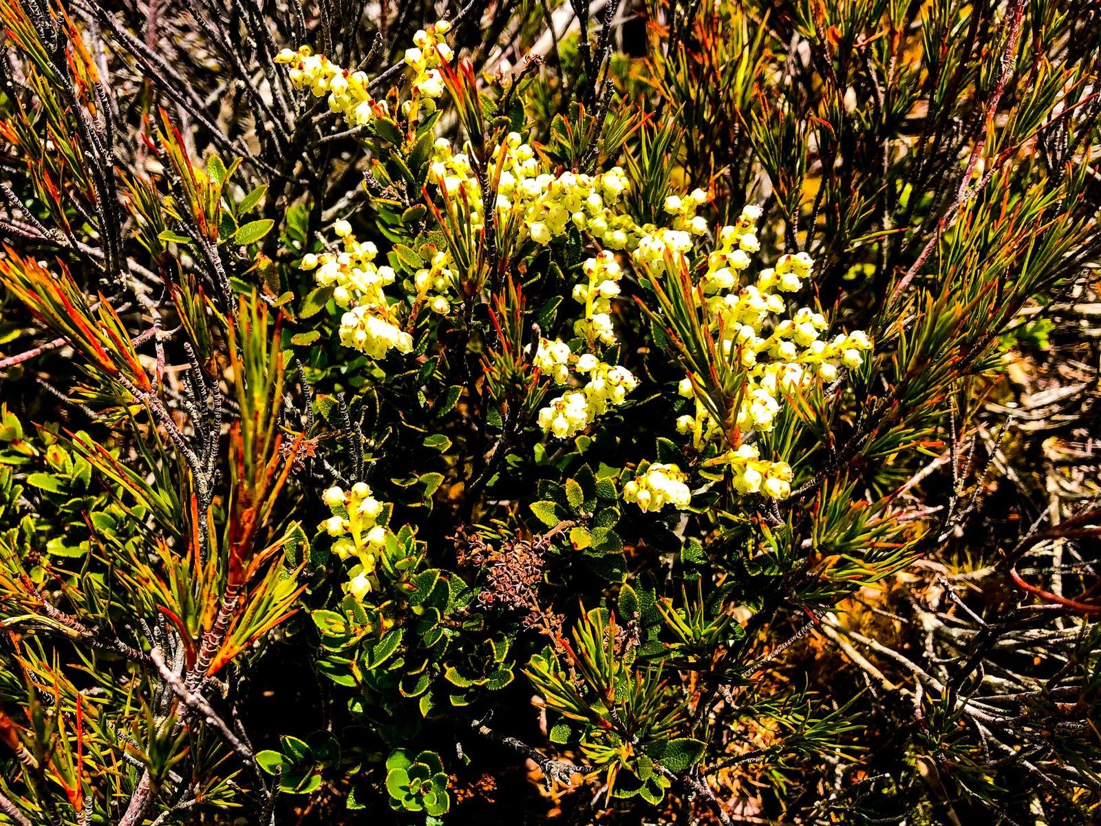
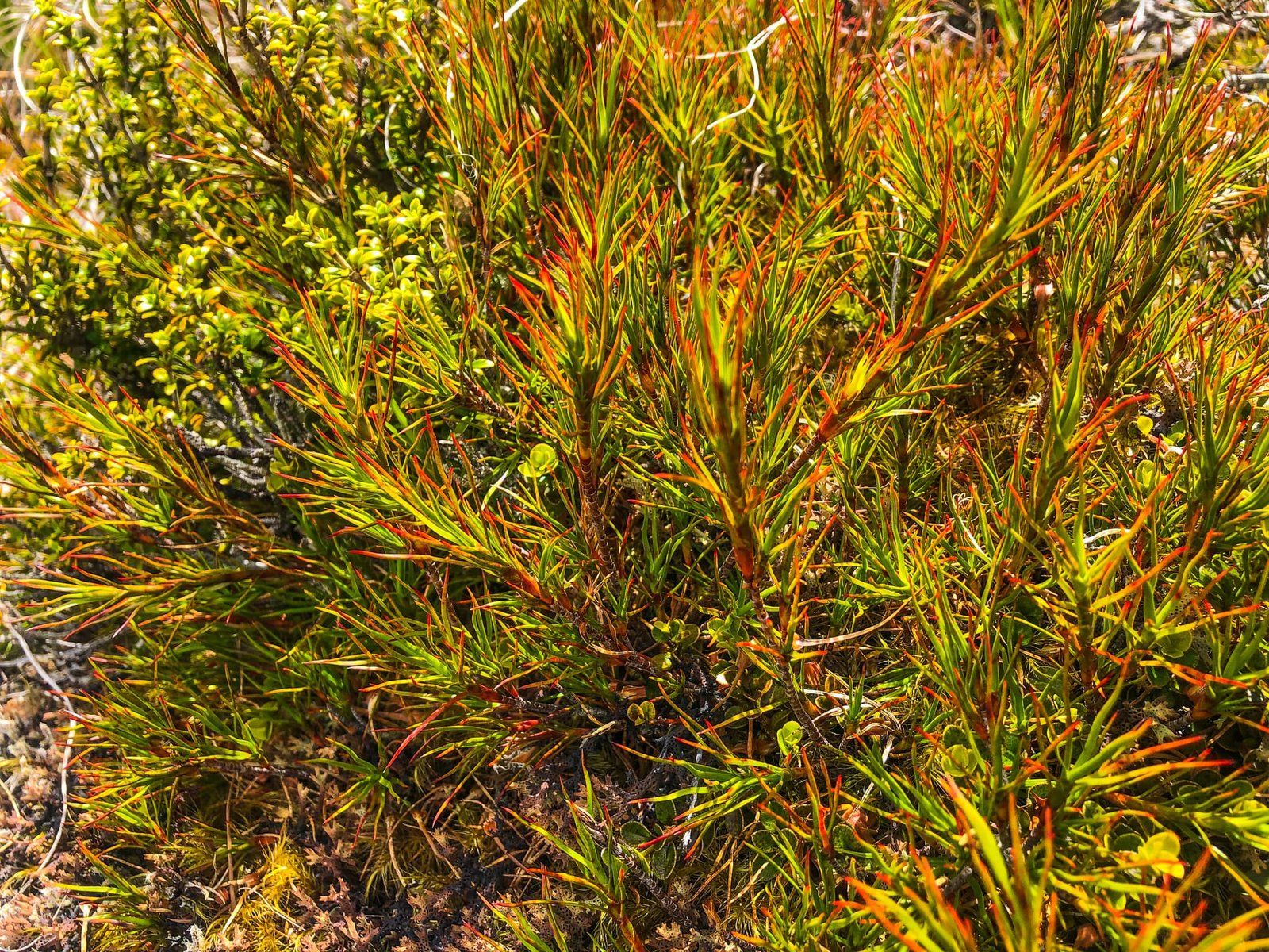
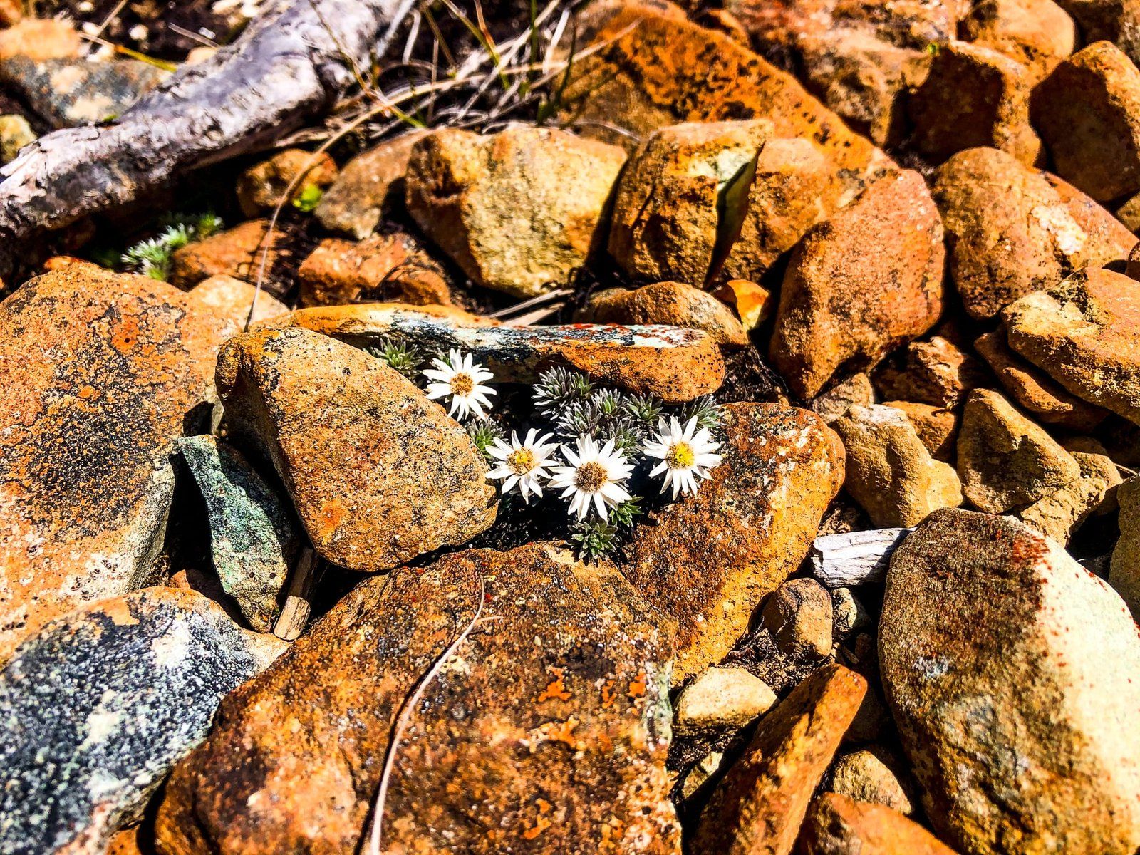
At the summit, a short loop track and boardwalk guide visitors around a wetland area, showcasing an array of native shrubs and wildflowers, including giant Mount Cook buttercups in early summer and various native daisies.
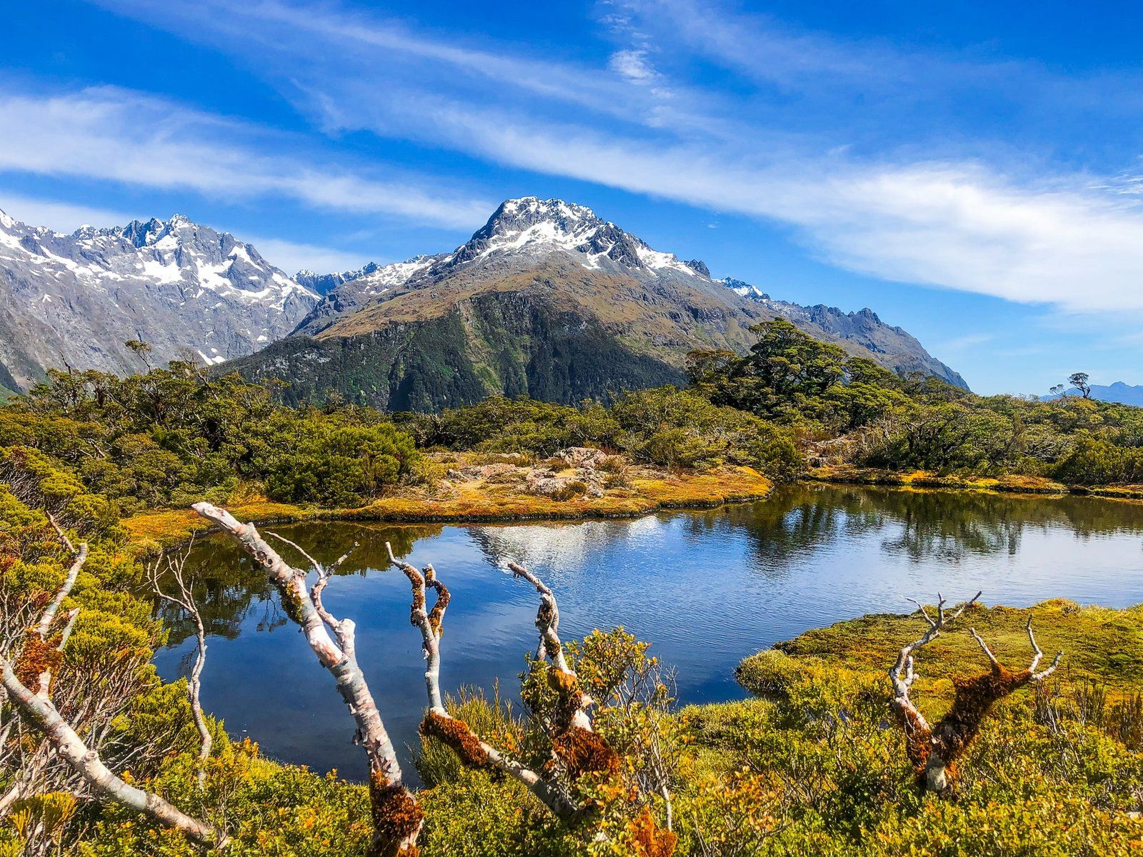
Panoramic Views
Key Summit offers a 360-degree panoramic view of the surrounding mountain ranges. To the east lie the Ailsa Mountains, while the larger Humboldt Mountains are visible to the northeast. The Darran Mountains, including Mount Tutoko at 2,723 metres, dominate the west and northwest. The Hollyford Valley cuts through these ranges to the north, and the Livingstone Mountains rise immediately to the south, on the east side of the Eglinton Valley. Few locations in Aotearoa provide such an exceptional visual experience for a relatively modest effort.
How to Get There
To reach Key Summit, drive for about an hour from Te Anau to The Divide car park on the Te Anau Milford Highway. This starting point provides easy access to the Routeburn Track. As the area is an alpine environment, it is important to be weather-aware and prepared for sudden changes.
Other nearby options include the Lake Marian Track and Humboldt Falls on the Lower Hollyford Road, and the easy Christie Falls and Lake Gunn Nature Walk.