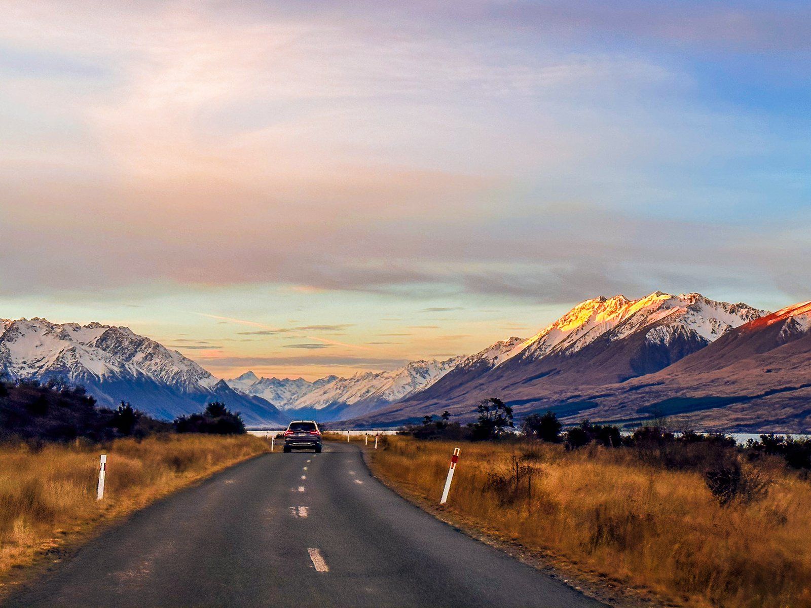
Exploring Lake Ōhau Road
Lake Ōhau Road is a picturesque route in the Mackenzie Basin, accessed from State Highway 8 between Omarama and Twizel. This road is a scenic drive through diverse landscapes, leading you to the beautiful Lake Ōhau. The trip starts at approximately 500 metres above sea level, climbing to 600 metres at the top of a Ōhau glacial moraine before descending to the lake at 540 metres. Initially, the road traverses farmland, transitioning into tussock grasslands with wetlands and lagoons as you approach the lake.
A Quirky Roadside Memorial
Along the way, keep an eye out for the "spade line," a quirky roadside memorial marking the original demarcation of the Canterbury and Otago provincial border. There is an explanatory sign and a piece of the original barbed wire fence. A similar sign can be found at the Birchwood Picnic Area in the Ahuriri Valley.
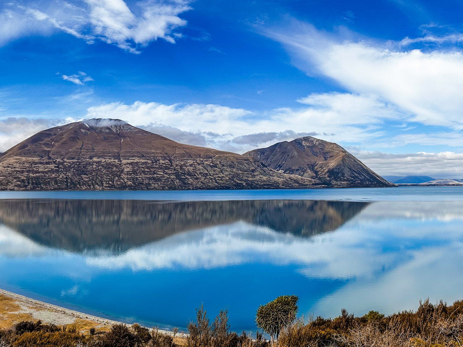
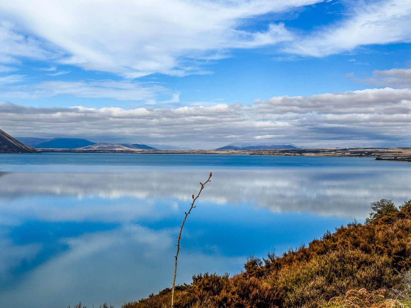
Stunning Views and Lake Ōhau Track
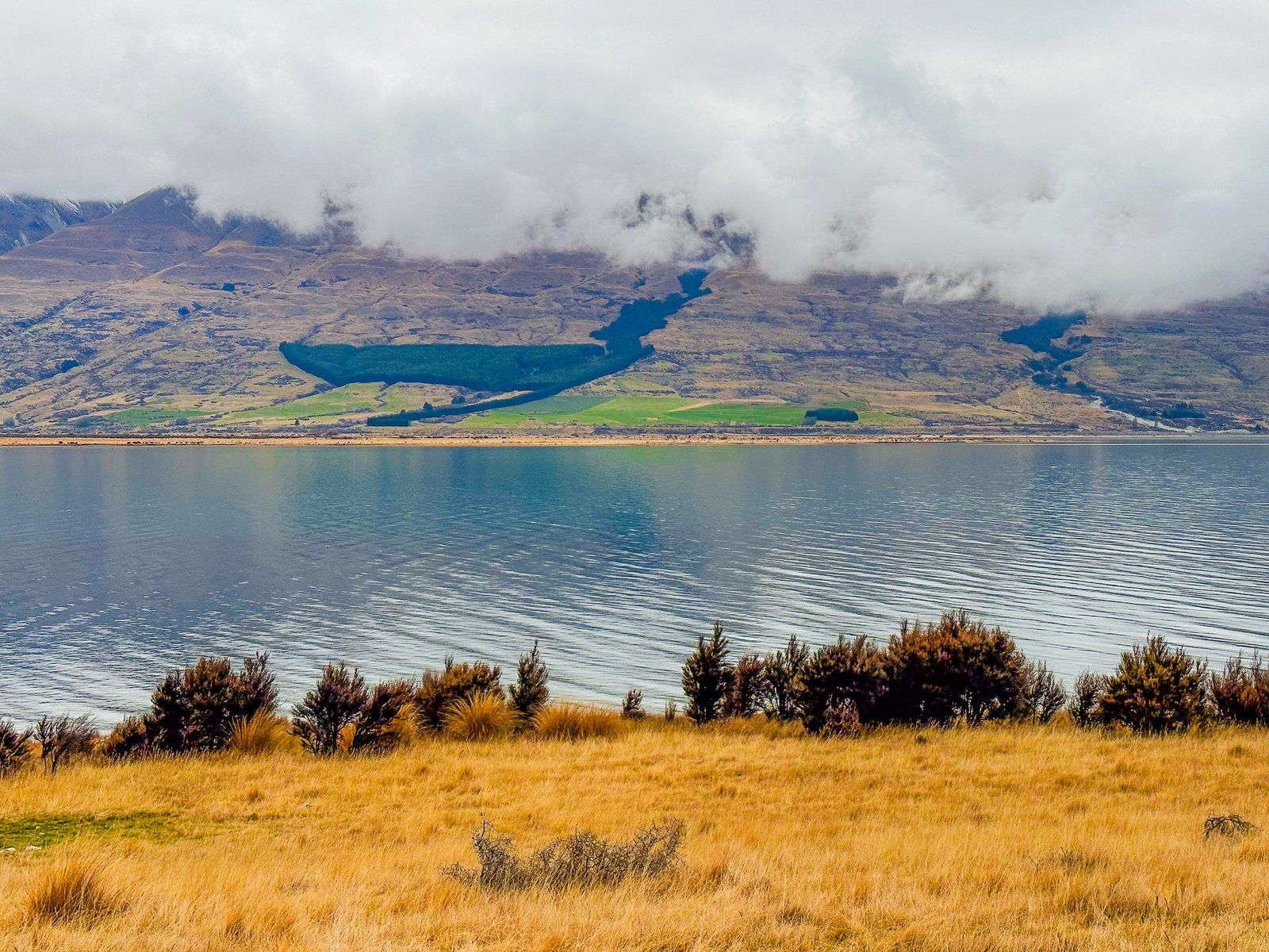
As you near Lake Ōhau, the views become breathtaking. To the east, the 1,522-metre-high Ben Ōhau stands prominently in front of the Ben Ōhau Range, while the Barrier Range lies to the west. At the lake, a short side road leads to a parking area with a gravel beach, marking the start of the Lake Ōhau TrackThe track heads east to the lake's east end and is part of the Alps2Ocean Cycle Trail and Te Araroa.
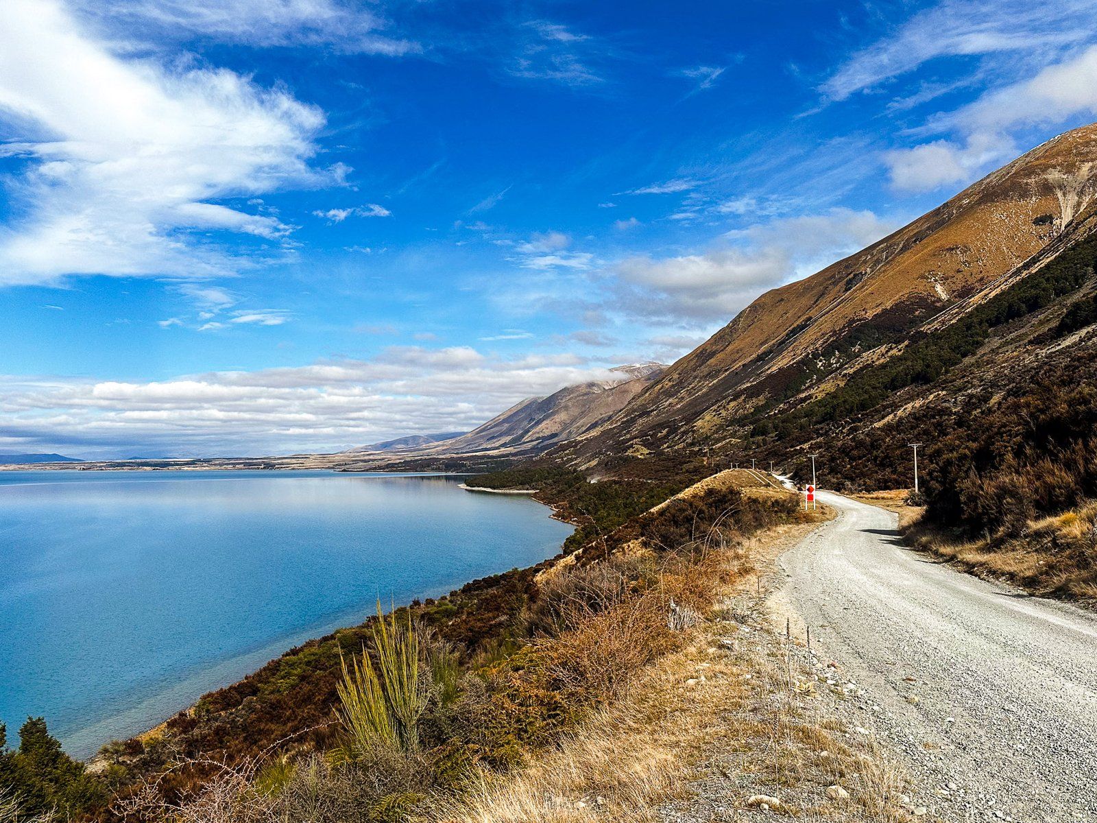
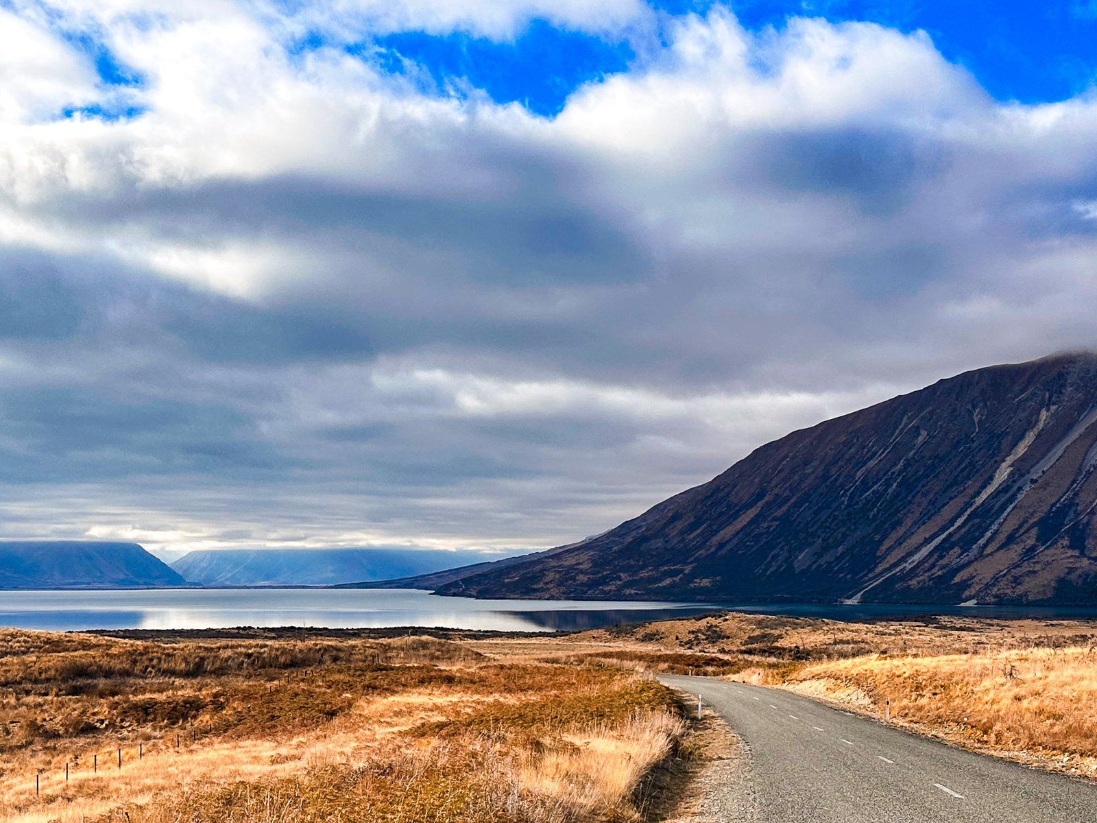
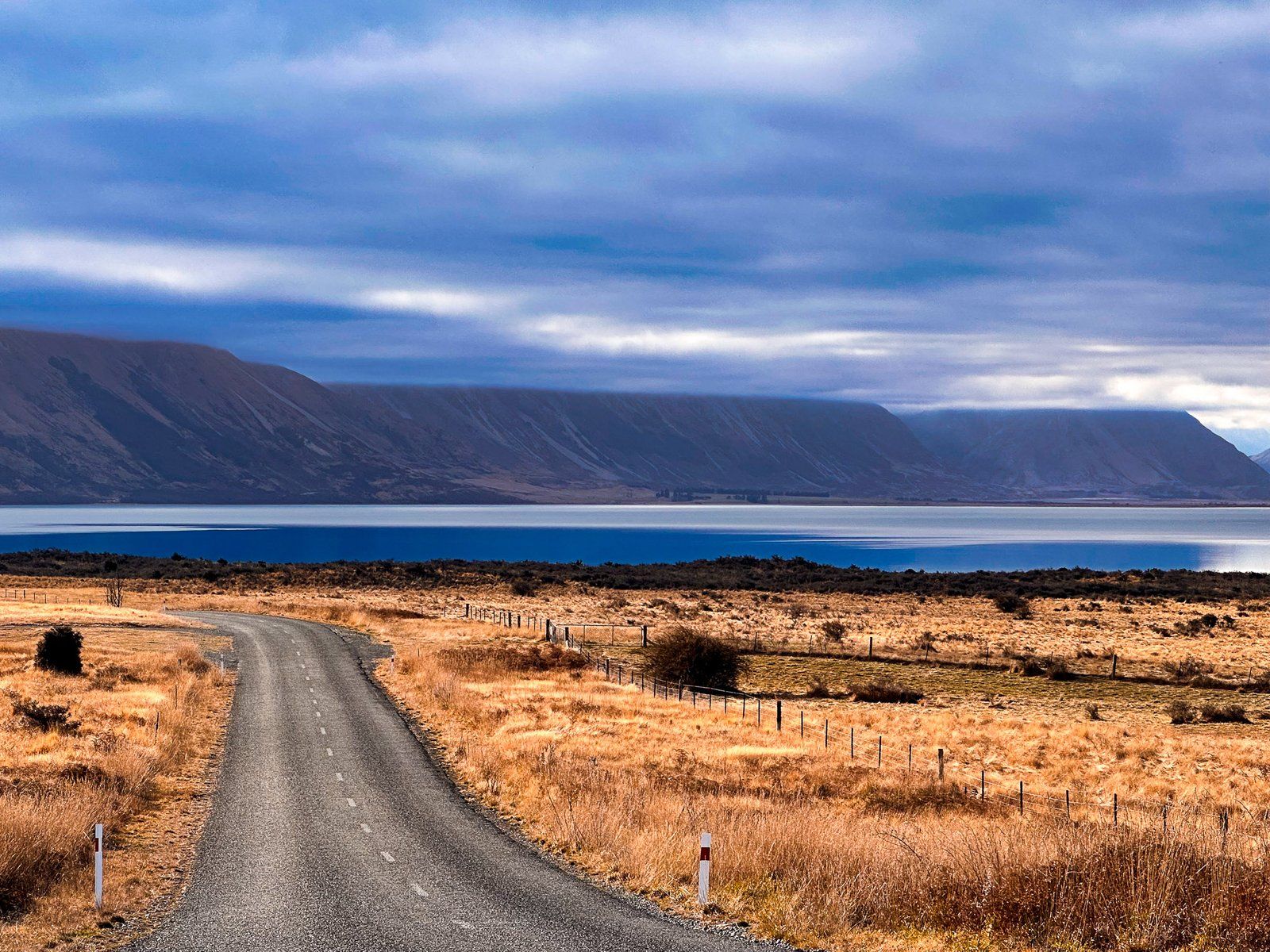
Continuing Along Lake Ōhau
Lake Ōhau Road continues along the lake's western side for 12 km, reaching Lake Ōhau Lodge and the Ōhau ski field access. Along this stretch, you'll pass Lake Middleton, with a campsite, and access to Lake Ōhau Alpine Village. This section is part of the Alps2Ocean Cycle Trail and Te Araroa, so exercise caution as you share the road with cyclists.
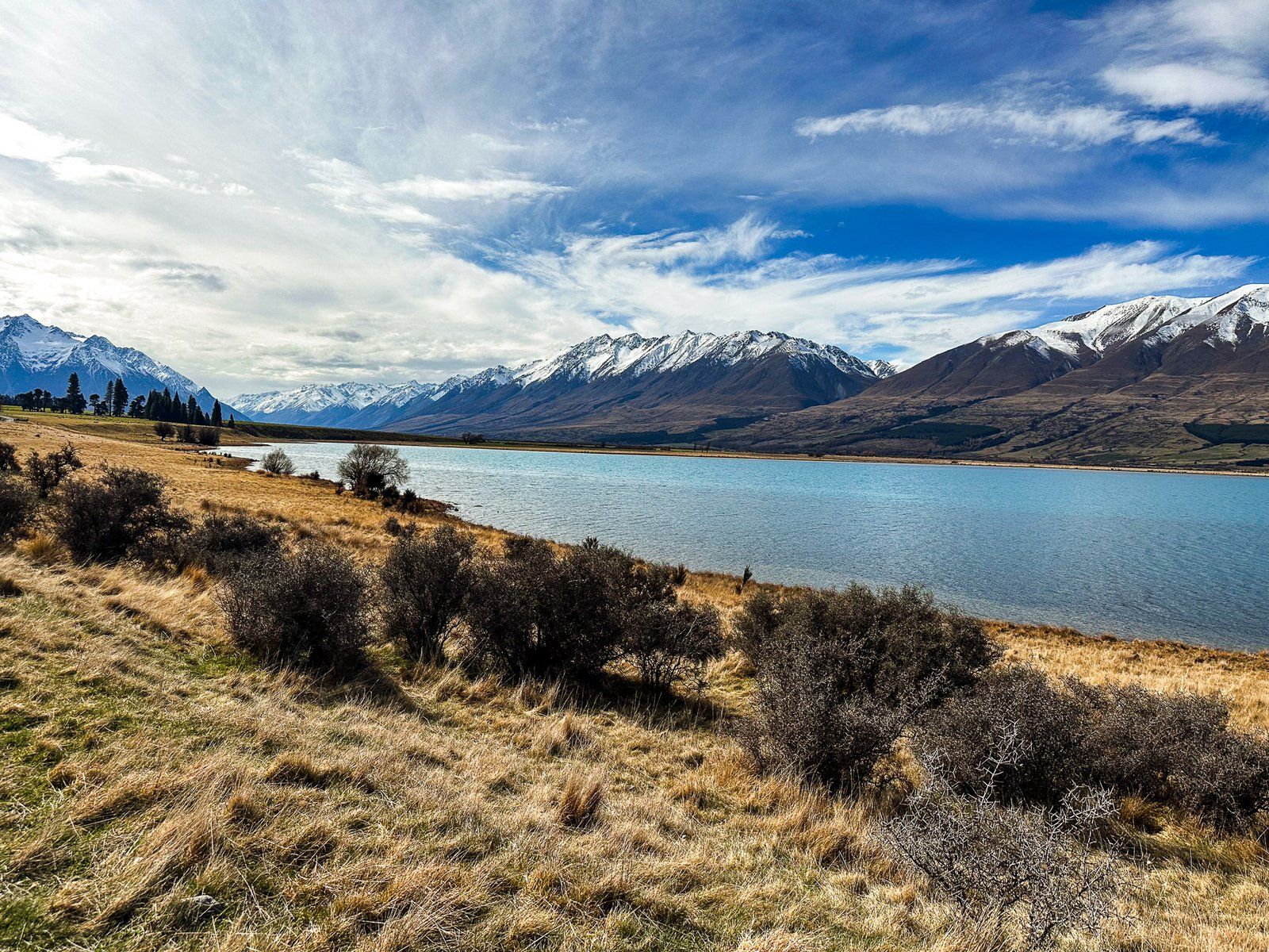
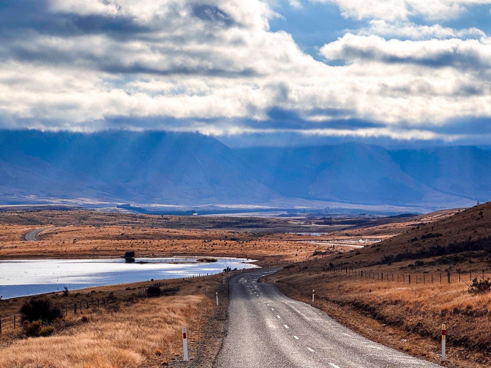
Exploring the Hopkins River Valley
Beyond the lodge, the road transitions from sealed to gravel, hugging the lake's western edge for another eight km. It passes the Round Bush Campsite (DOC) and enters the expansive Hopkins Valley. Here, you'll find a stone building ruin and possibly a few sheep. Continuing for ten km leads to a short access road to Temple Valley, where you can explore the Temple Campsite, Temple Viewpoint Track and Temple Valley tracks.
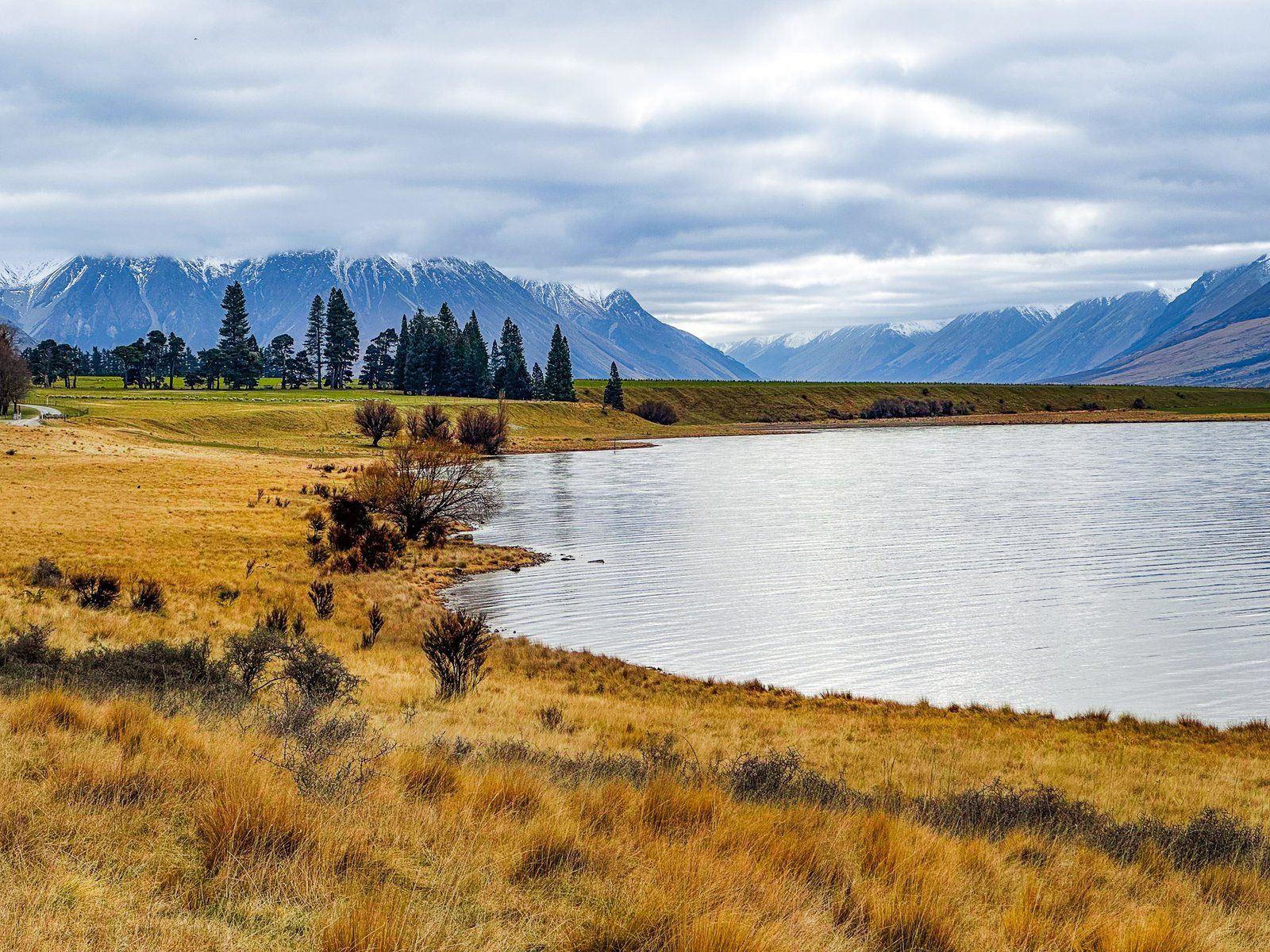
Remote Adventures in the Huxley Valley
If time permits, drive an additional 11 km up the Hopkins Valley to the road's end. This area provides access to remote tramping and 4WD tracks, as well as huts in the Hopkins and Huxley Valleys. Situated on the edge of the Main Divide of the Southern Alps, these valleys feature peaks reaching up to 2,500 metres.
How to Get There
To reach Lake Ōhau Road, travel along State Highway 8, located between Omarama and Twizel in the Mackenzie Basin. The turnoff to Lake Ōhau is well signposted.
Other nearby lakes to visit around the Mackenzie Basin include Lake Tekapo, Lake Pukaki, Lake Ruataniwha and Lake Benmore.