Discover Lake Marian in Fiordland
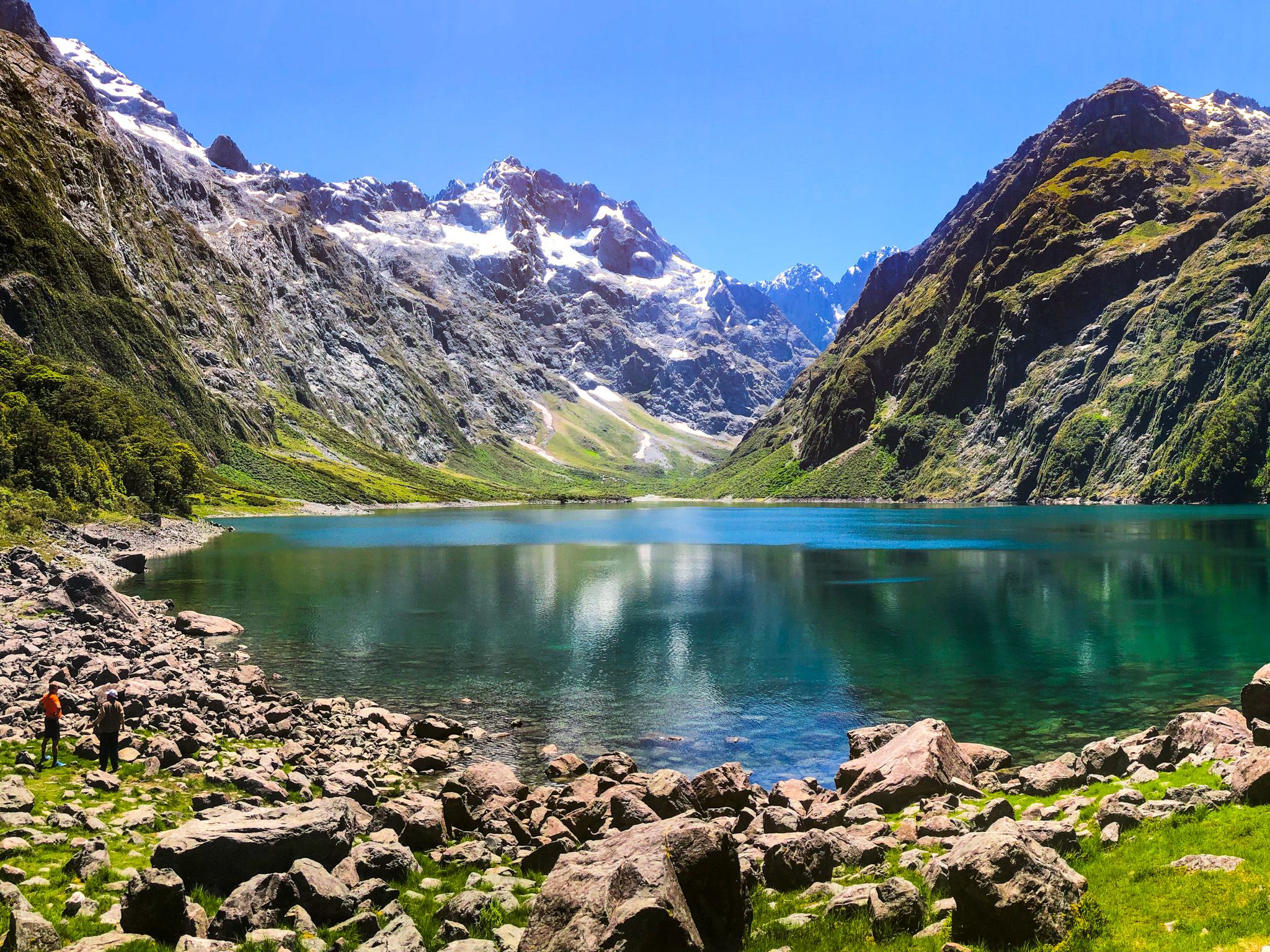
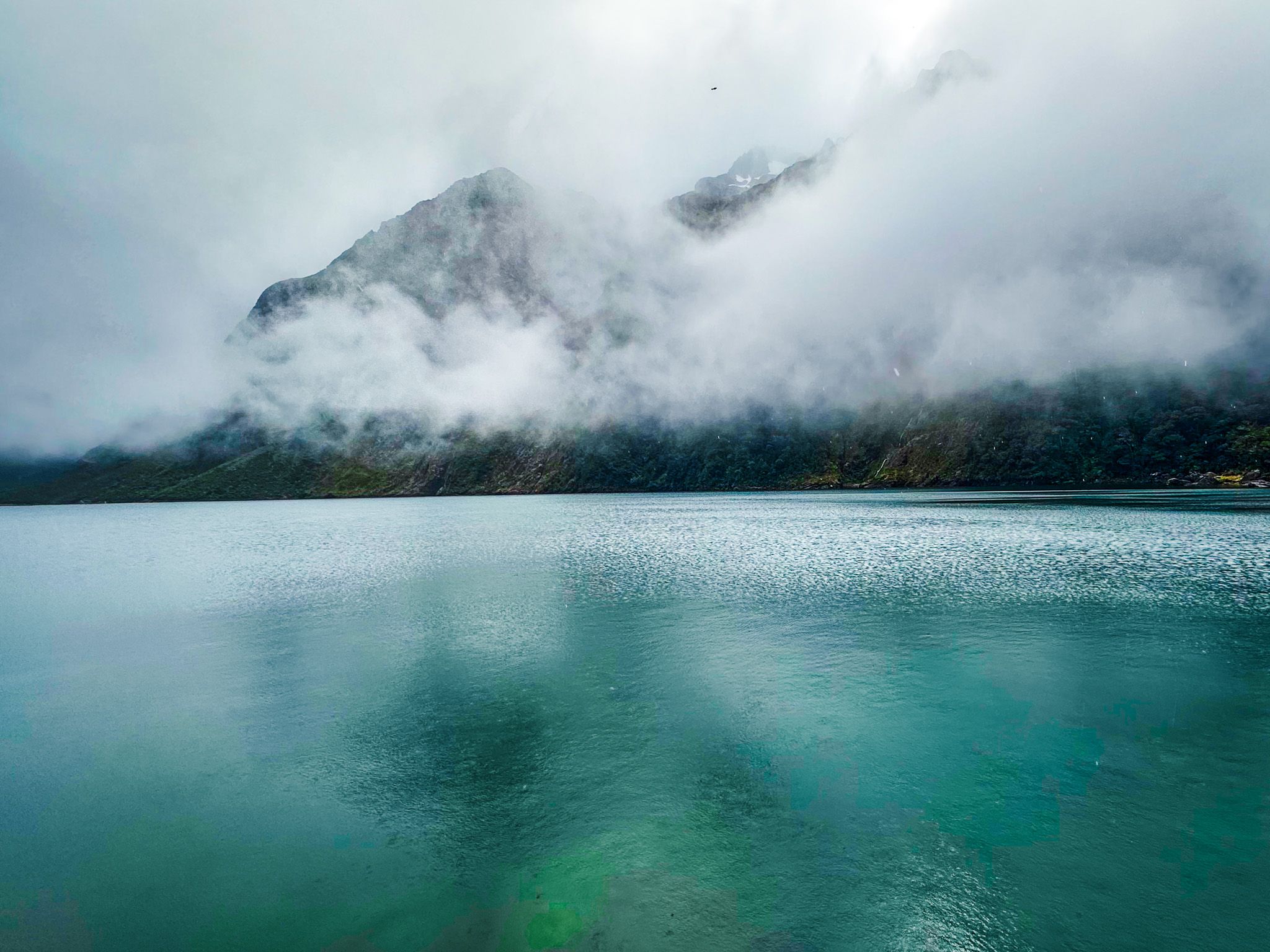
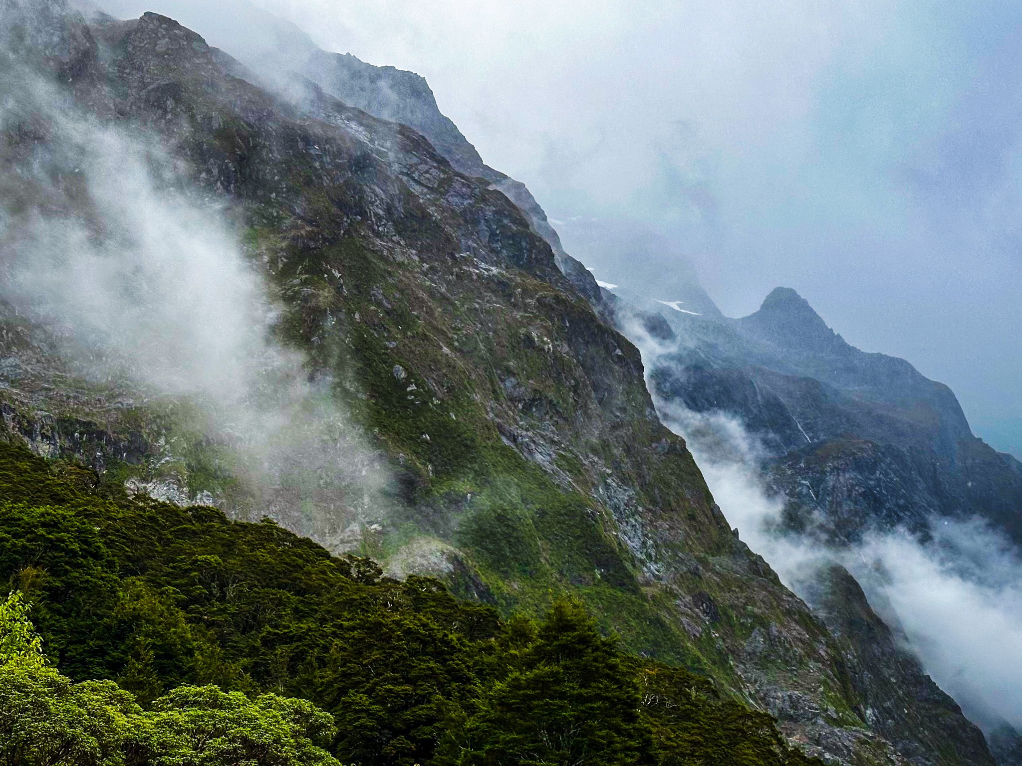
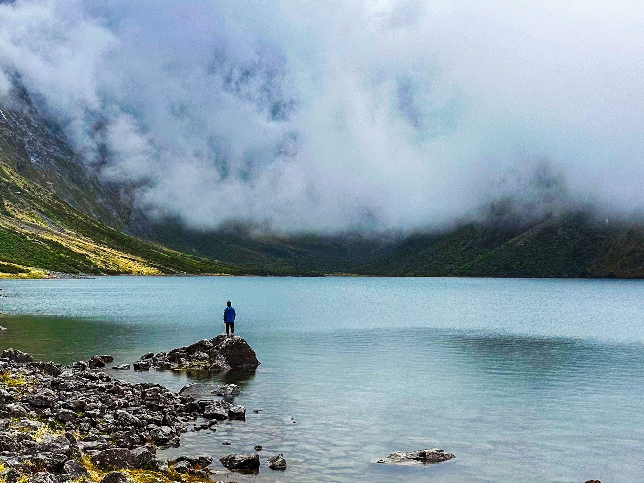
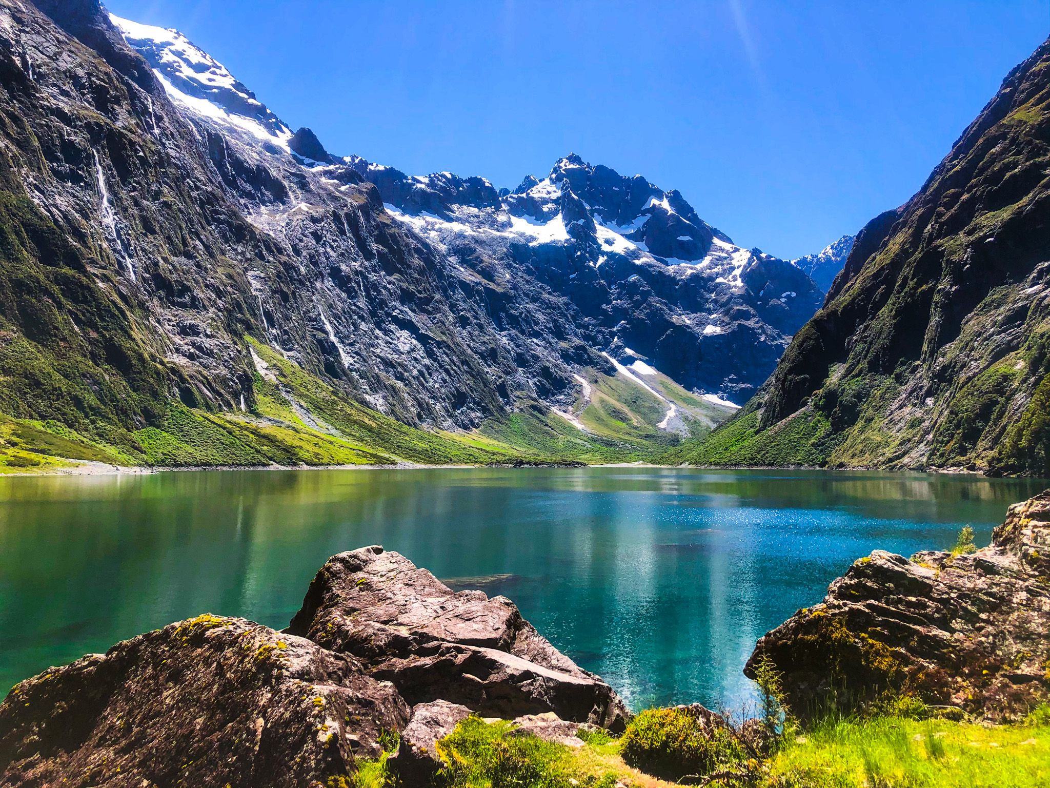
Lake Marian, located in Fiordland National Park and reached via the Lake Marian Track, is one of the most accessible high-altitude lakes in the region. Situated 700 metres above sea level, it is nestled within a dramatic amphitheatre formed by the Darran Mountains. Some of the peaks have glaciers, adding to the area's striking landscape.
Scenic Beauty and Activities
The lake is surrounded by towering peaks, including Mount Lyttle (1,899 metres) and Mount Gunn (2,044 metres) to the northeast, Mount Christina (2,474 metres) to the southwest, and Mount Crosscut (2,052 metres) and Mount Marian (2,102 metres) to the northwest.
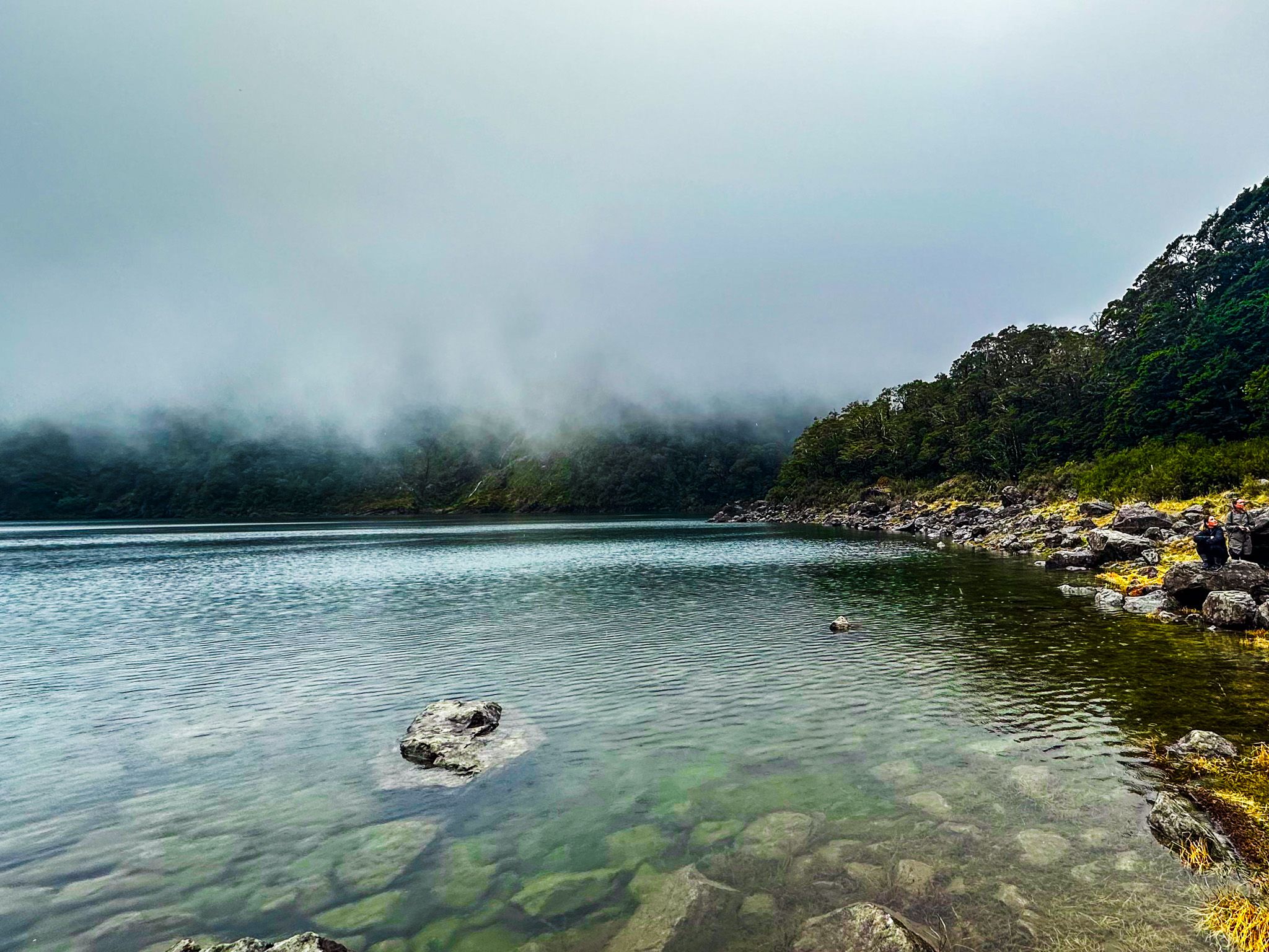
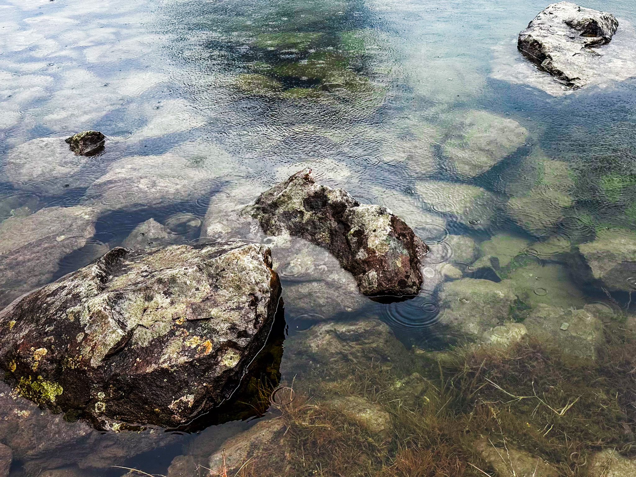
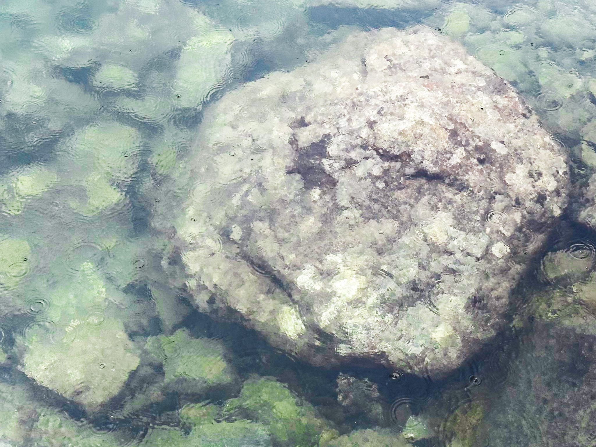
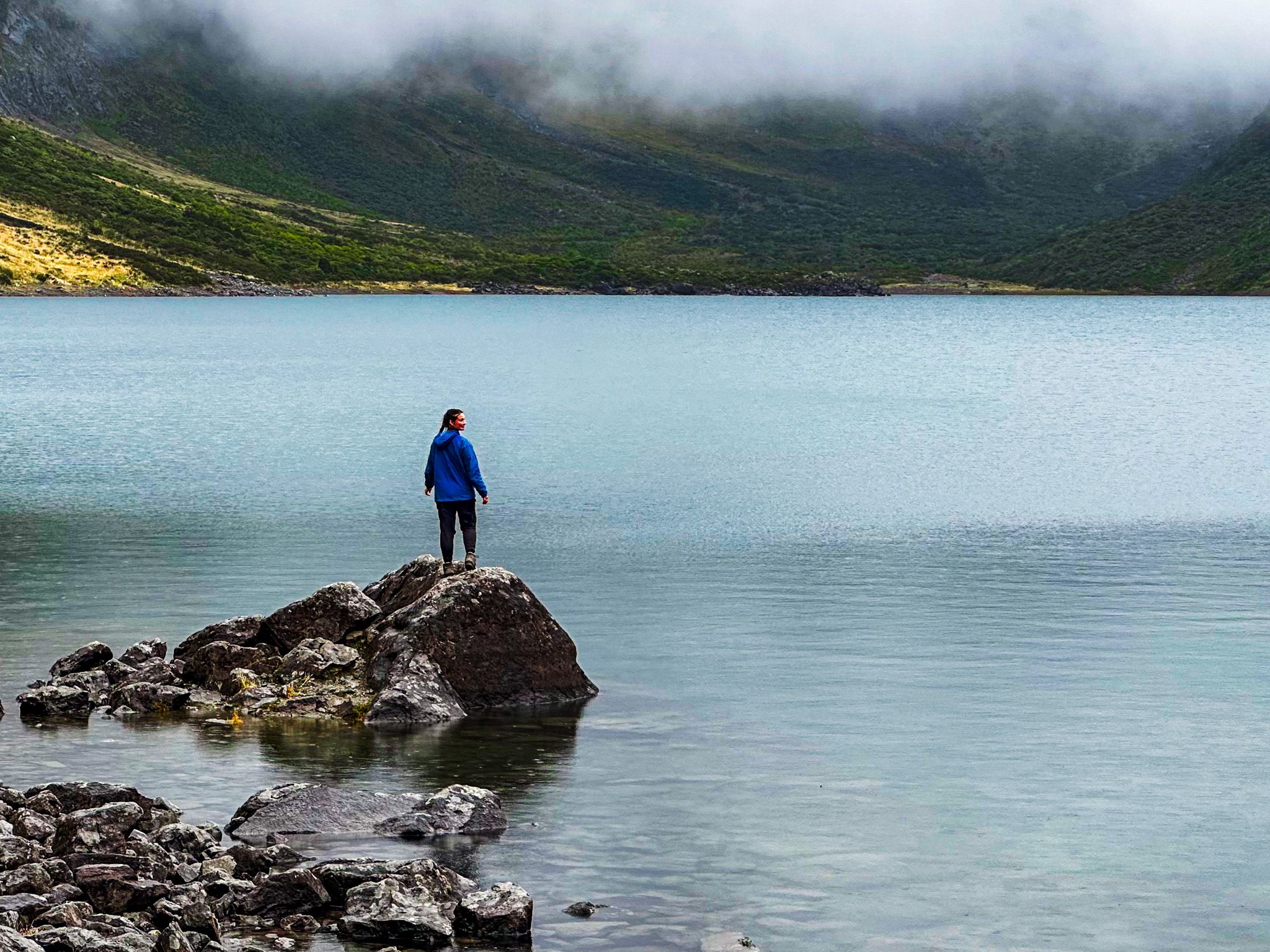
Lake Marian was formed by a rockslide at its southeast end, leaving a scattering of rocks with shrubs along the shoreline. This picturesque setting is perfect for a picnic, with ample space to relax by the water. You can also explore the lake's perimeter on foot. Swimming is possible, though caution is advised if you decide to jump from the large rock near the track entrance.
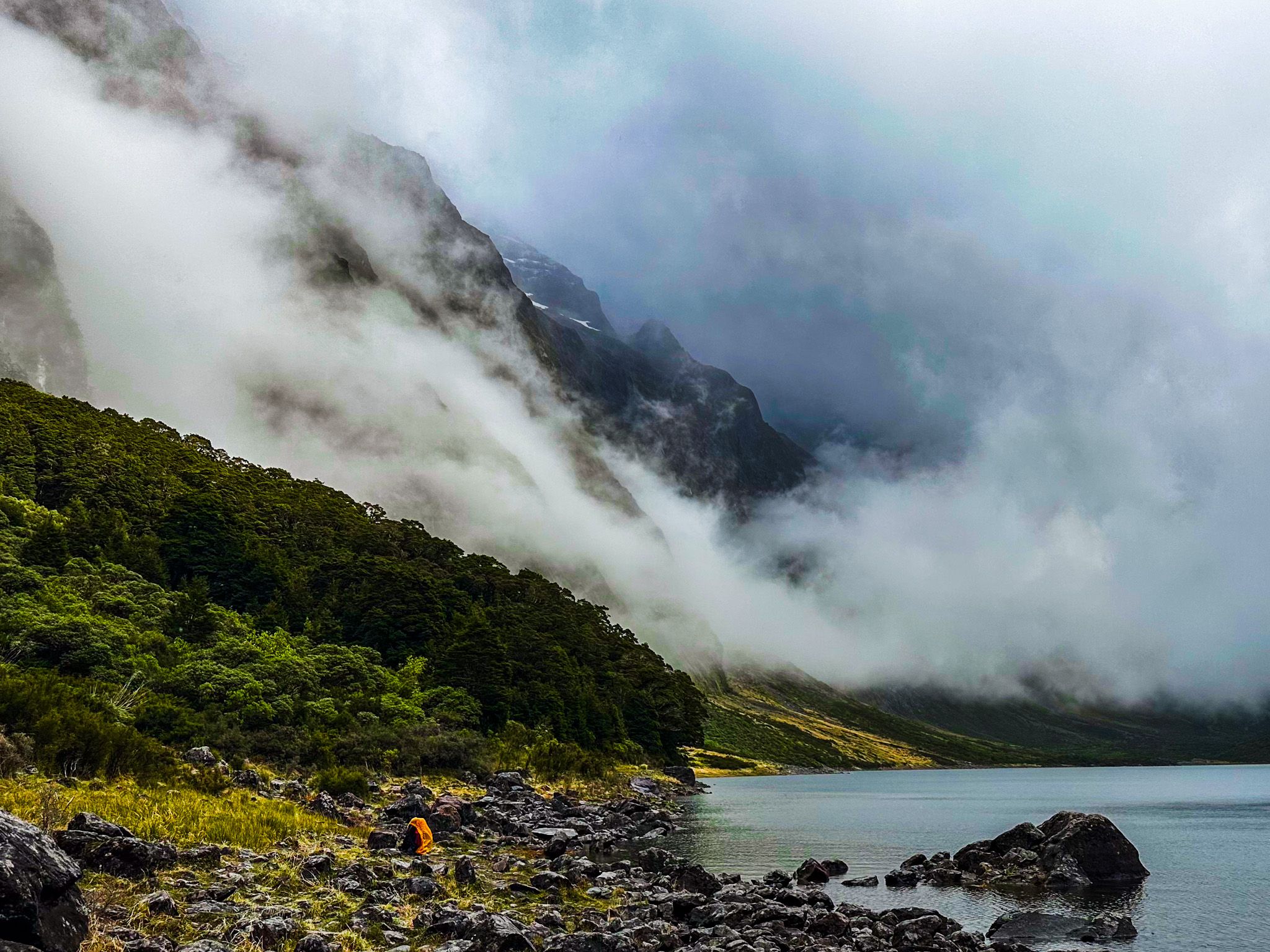
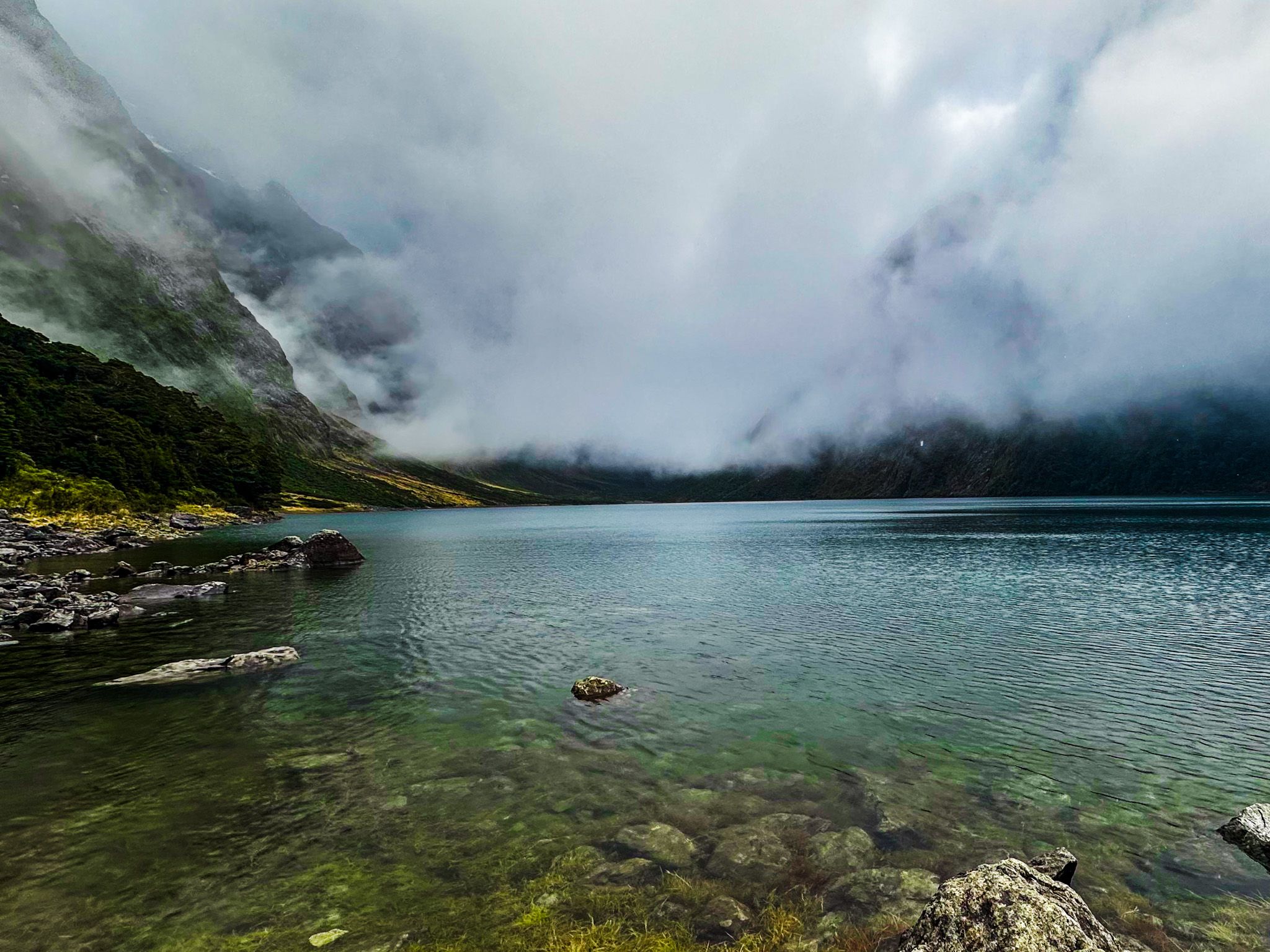
On sunny, calm days, the lake's surface mirrors the surrounding peaks, creating a breathtaking scene. Even on overcast days, Lake Marian retains its allure, while a visit during a clear Winter day offers a particularly memorable experience with substantial snow caps on the mountains.
How to Get to Lake Marian
To reach Lake Marian, take the Lake Marian Track, accessible from Lower Hollyford Road. The first 10 minutes of the track are an easy walk to the spectacular Marian Creek waterfalls. After that, the track becomes a rough tramping track, taking between 90 minutes and 2 hours each way.
Other nearby attractions include the Humboldt Falls at the end of the Lower Hollyford Road, Marian Corner, the Christie Falls and Pops View. For another wonderful hiking option, you can walk from the Divide on the Routeburn Track to Key Summit or Earland Falls.