Discover the Pukaki Kettle Hole Track
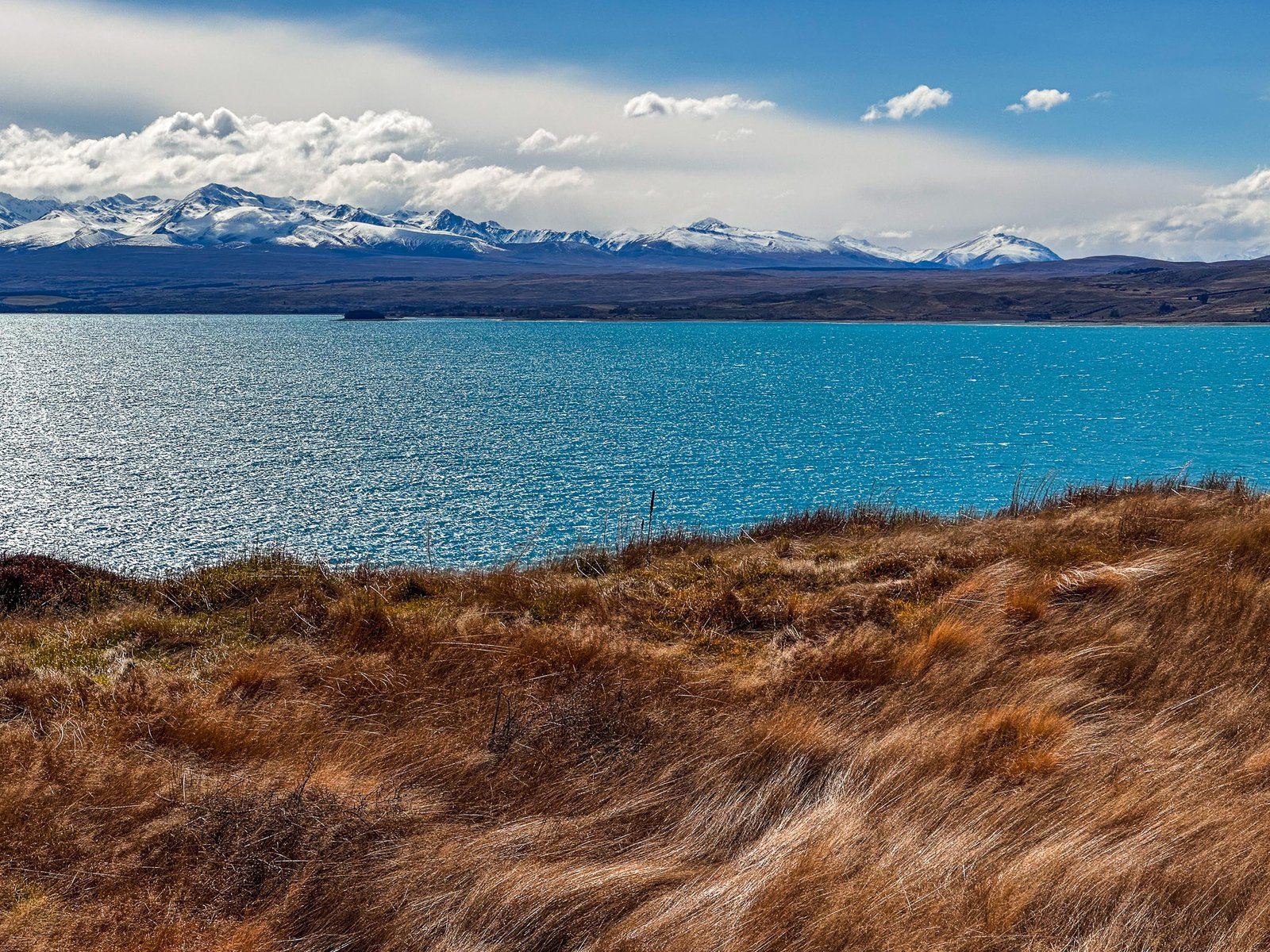
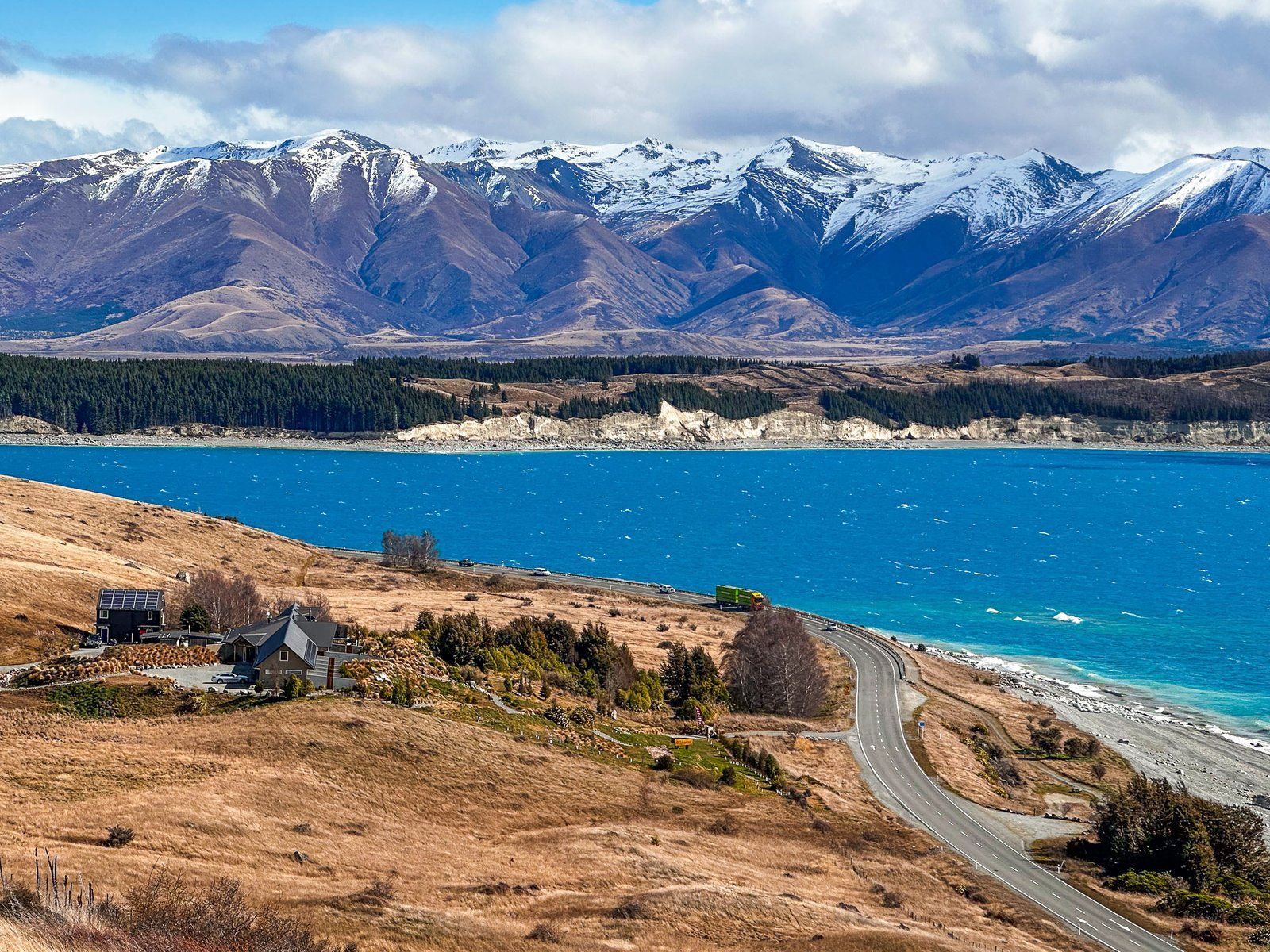
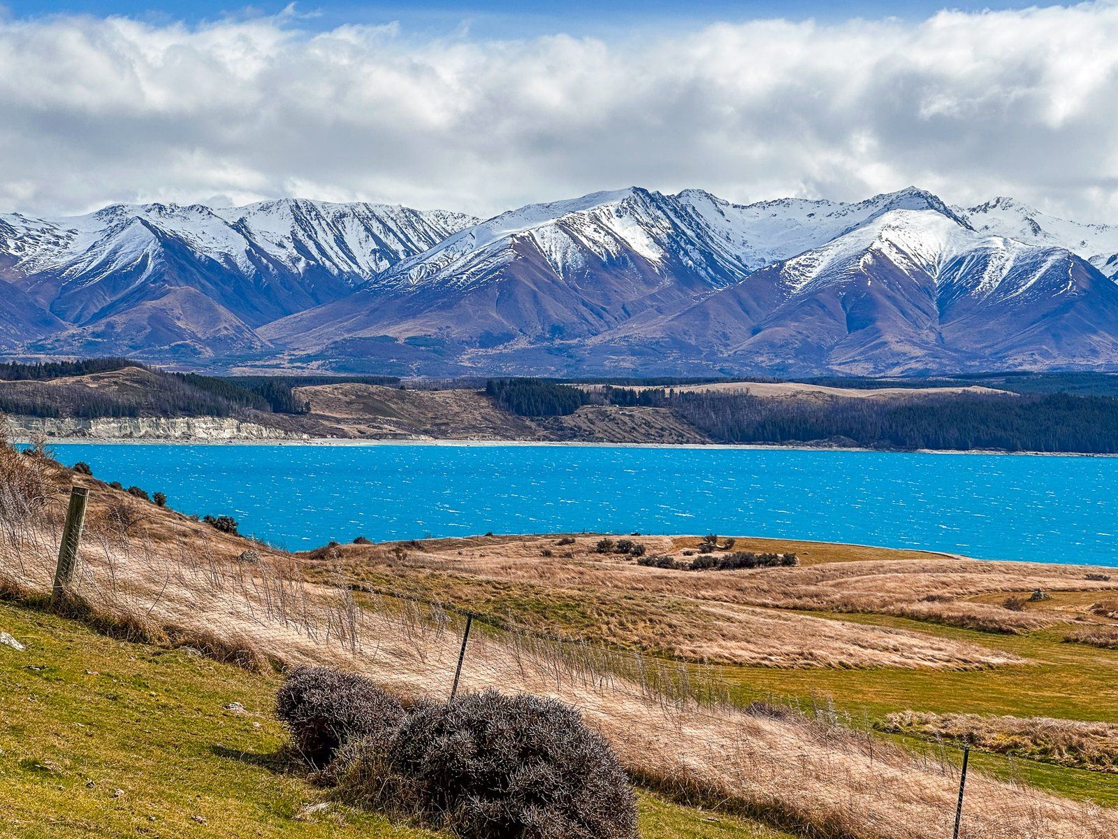
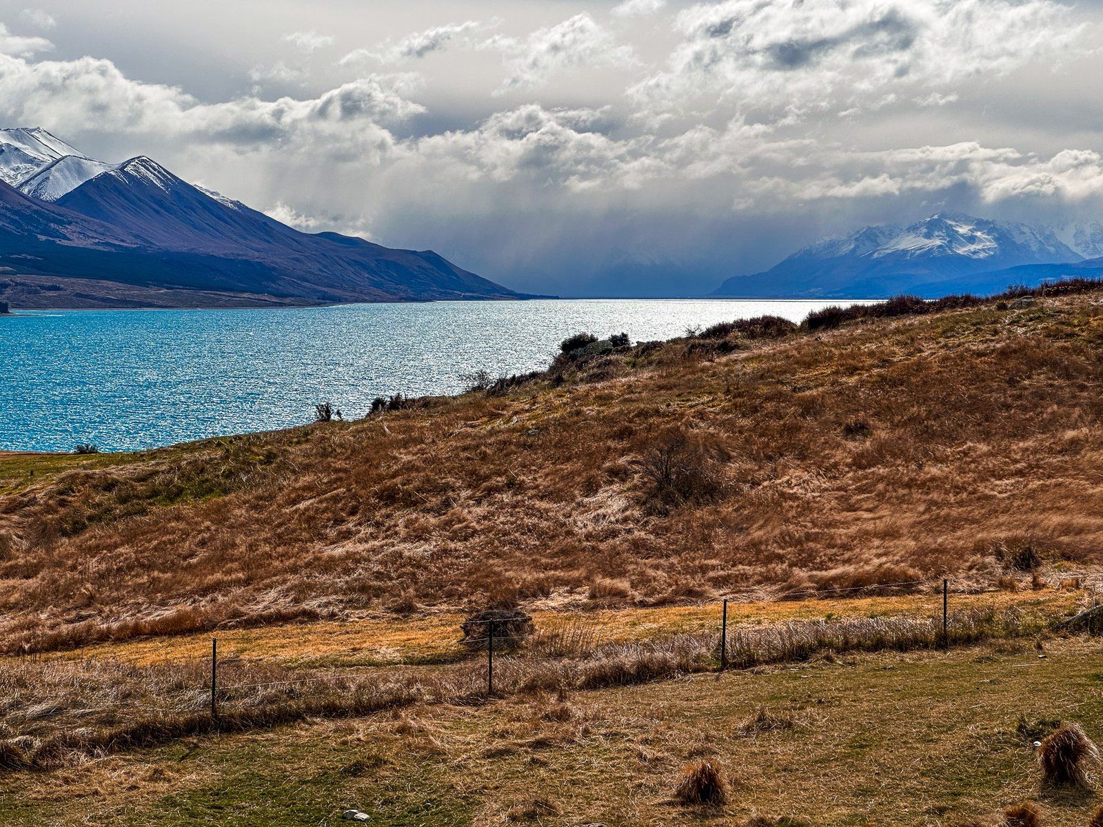
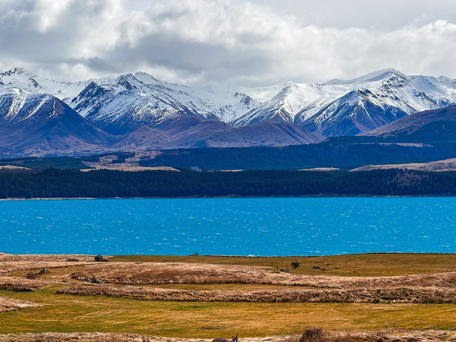
Located in the Mackenzie Country, overlooking Lake Pukaki, the Pukaki Kettle Hole Track is a fascinating glimpse into the region's glacial past. This easy one-hour return walk has stunning views of the lake, the Southern Alps, and the surrounding high country, making it a worthwhile stop for those interested in geology and natural history.
Exploring the Track
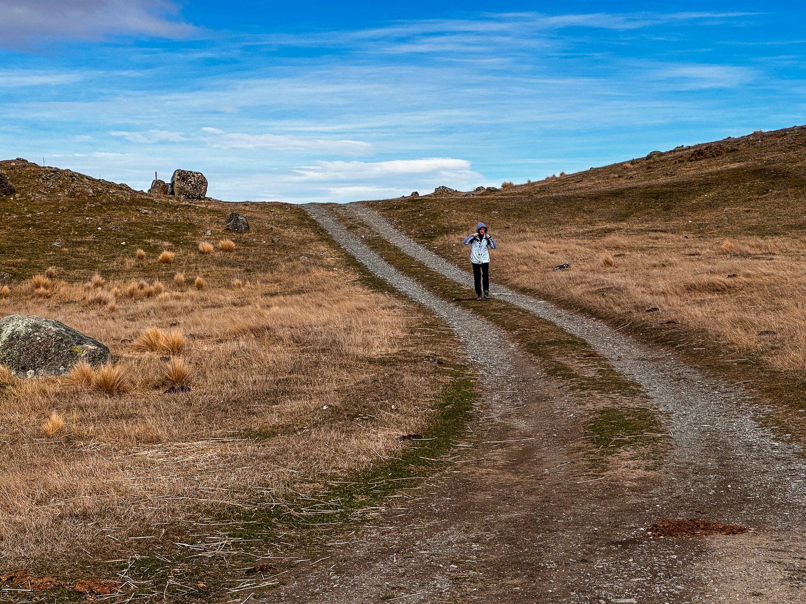
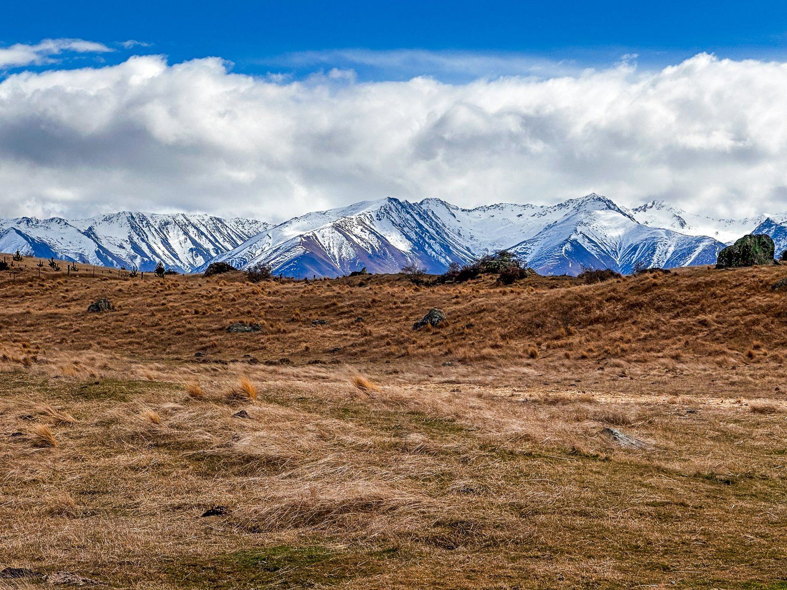
The track spans four kilometres and begins on the south side of State Highway 8. It ascends approximately 40 metres over moraine hummocks, which are rounded hills formed by glacial activity.
Initially, you will follow a farm track that leads up to the ridge of the Pukaki moraine. This ridge, standing 600 metres high, marks the furthest reach of the Tasman Glacier during the last ice age. As you walk along the ridge, you will be treated to breathtaking views, though it can be windy at times.
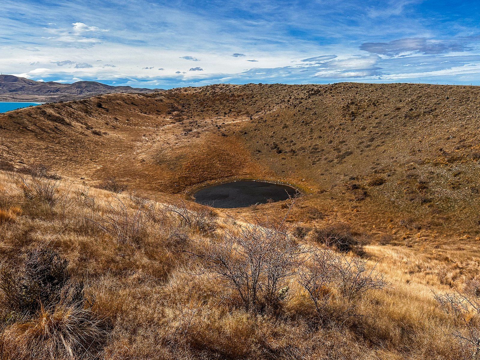
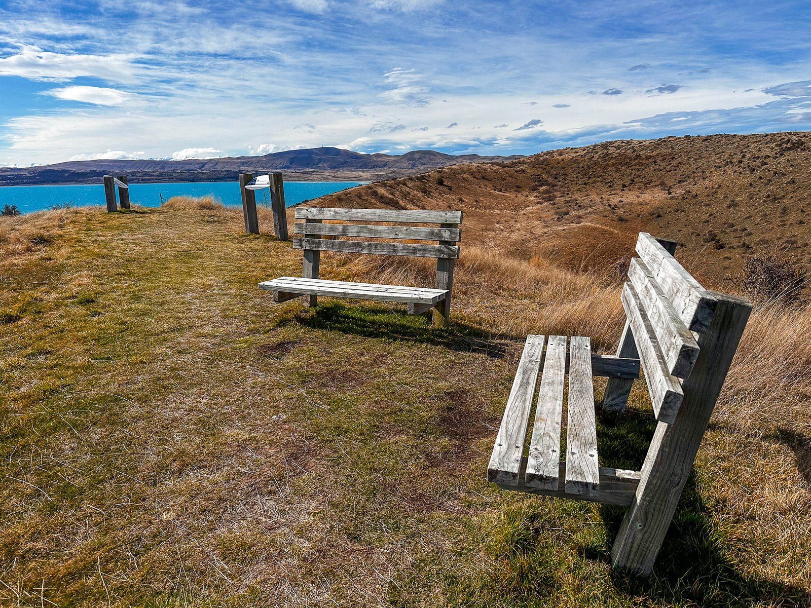
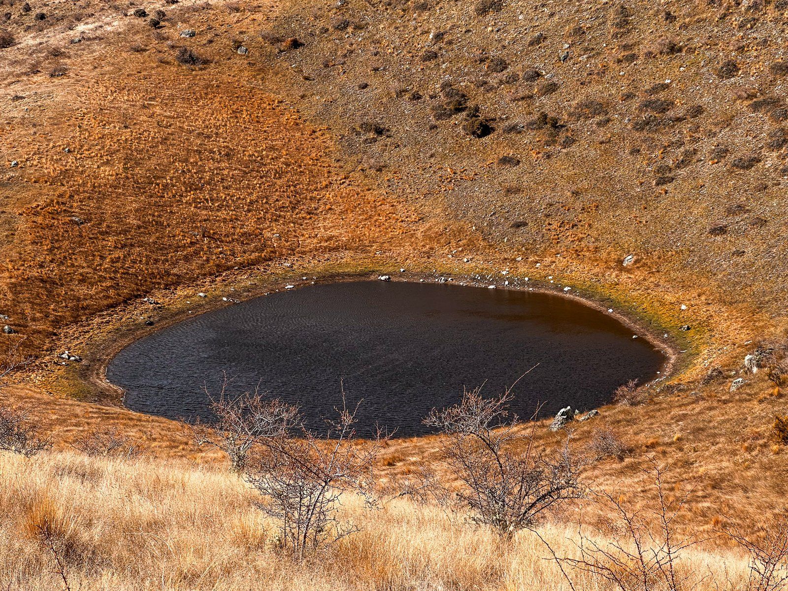
Continuing along the ridge, the track leads to the kettle hole, a geological feature that resembles a volcanic crater. The kettle hole is up to 60 metres deep and 300 metres wide, with a pond at its base. It formed when large blocks of glacial ice were buried by sediment and rock as the glacier retreated. Over time, the ice melted, causing the ground above to collapse and creating the crater. Explanatory panels at the main viewpoint provide further insight into this natural phenomenon.
How to Get There
To reach the Pukaki Kettle Hole Track, head to the northeast end of the Pukaki Dam on State Highway 8. The gravel track access road is located on the opposite side of another road leading to a viewpoint and a freedom camping area. From Christchurch, Lake Pukaki is a 3.5-hour, 328 km drive. From Queenstown, the drive is 3 hours and 221 km.
You can also take Mt Cook Road (State Highway 80) towards Aoraki Mt Cook, with a stop for the Pukaki Boulders, another glacial feature. Other nearby options include Twizel, Lake Ruataniwha, and Lake Ōhau.