Exploring Lake Harris and Harris Saddle
Lake Harris and the Harris Saddle are prominent highlights along New Zealand's famous Routeburn Track. This area is ideal for experienced hikers seeking a challenging day walk with rewarding views.
The trek begins at the Routeburn Shelter in Mt Aspiring National Park. Initially, the track follows the Route Burn for about two hours until you reach Routeburn Flats. From there, a 45-minute climb of 250 metres leads to Routeburn Falls. The final stretch is a one-hour ascent, climbing an additional 300 metres to reach the saddle at an elevation of 1,255 metres. Plan for up to four hours each way to ensure a safe and enjoyable journey.
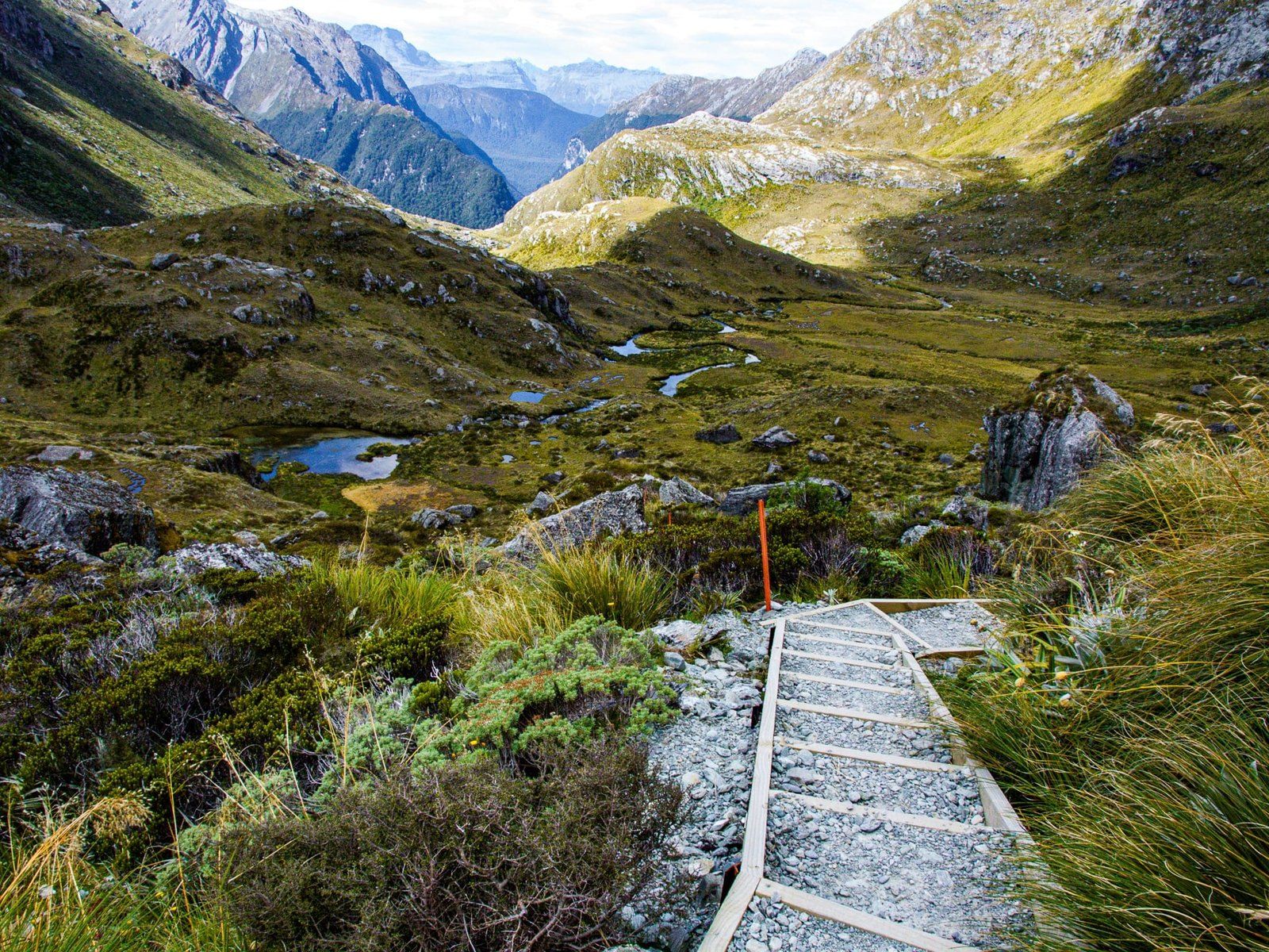
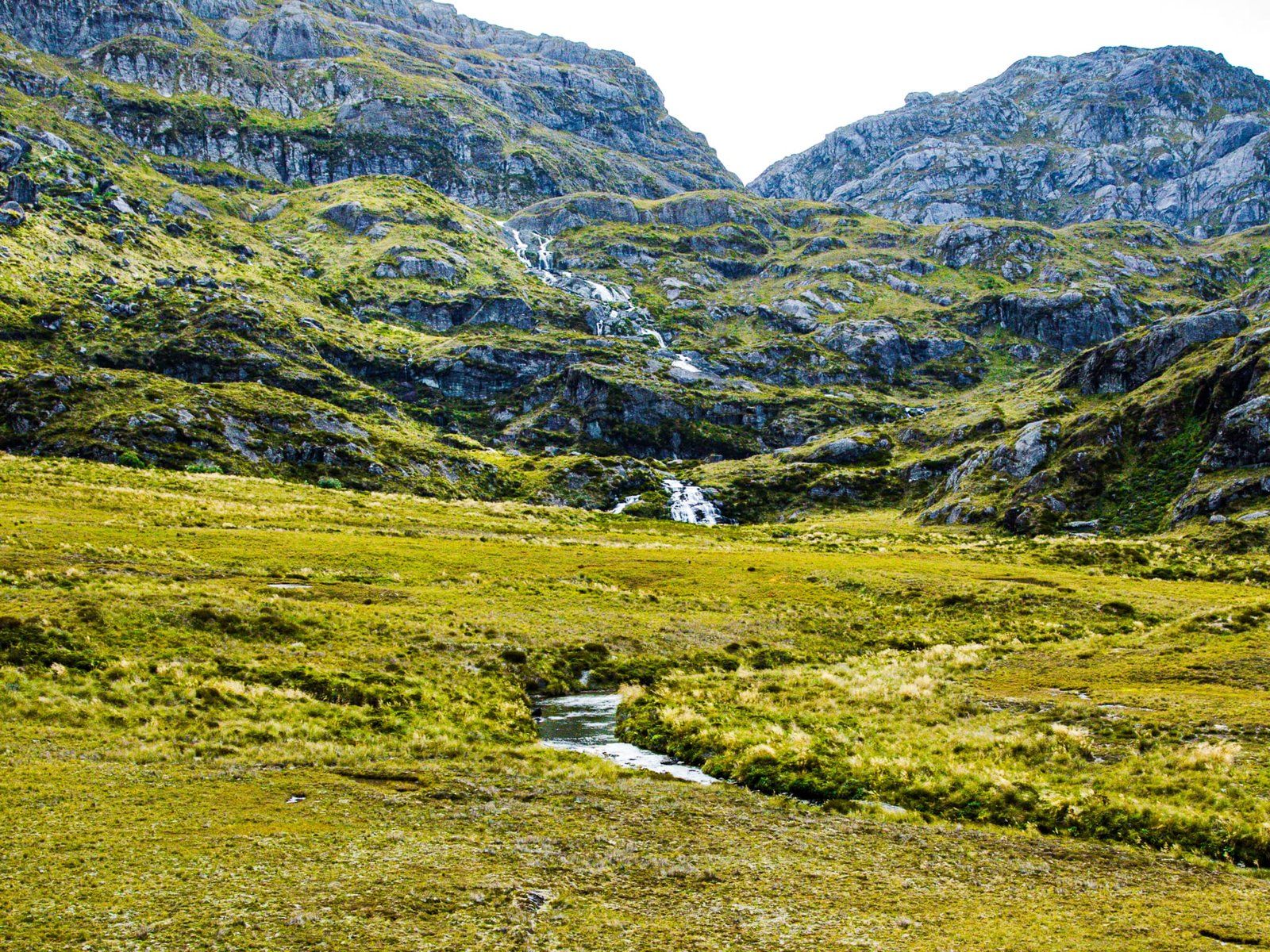
Stunning Alpine Views and Natural Features
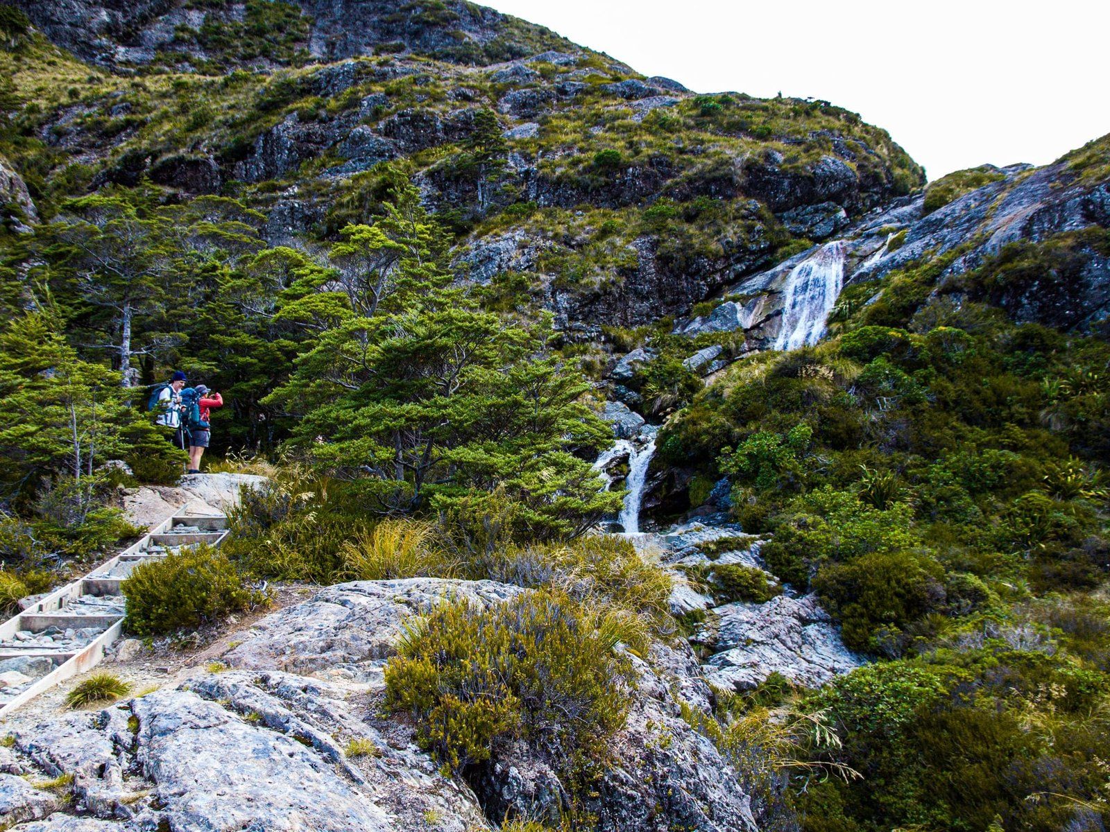
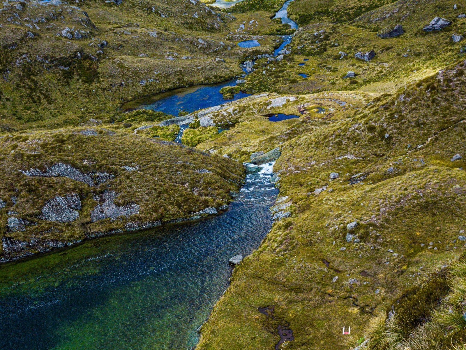
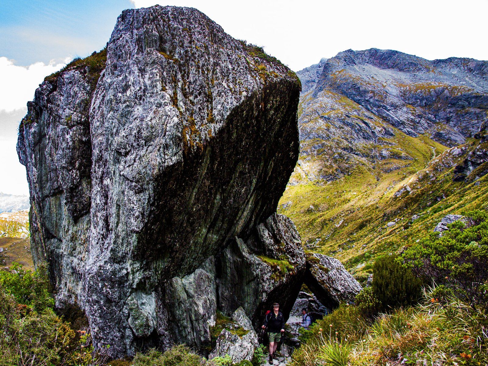
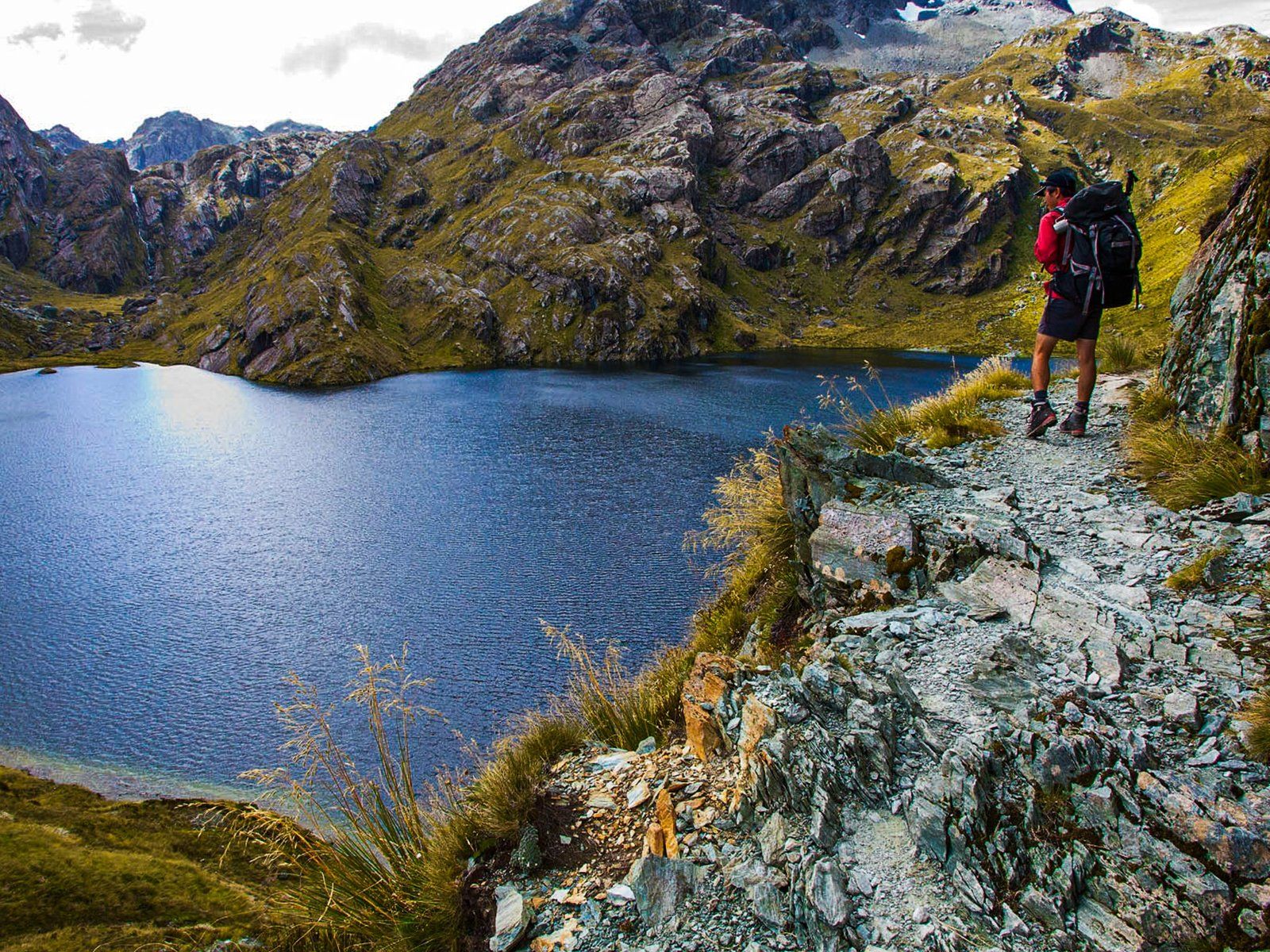
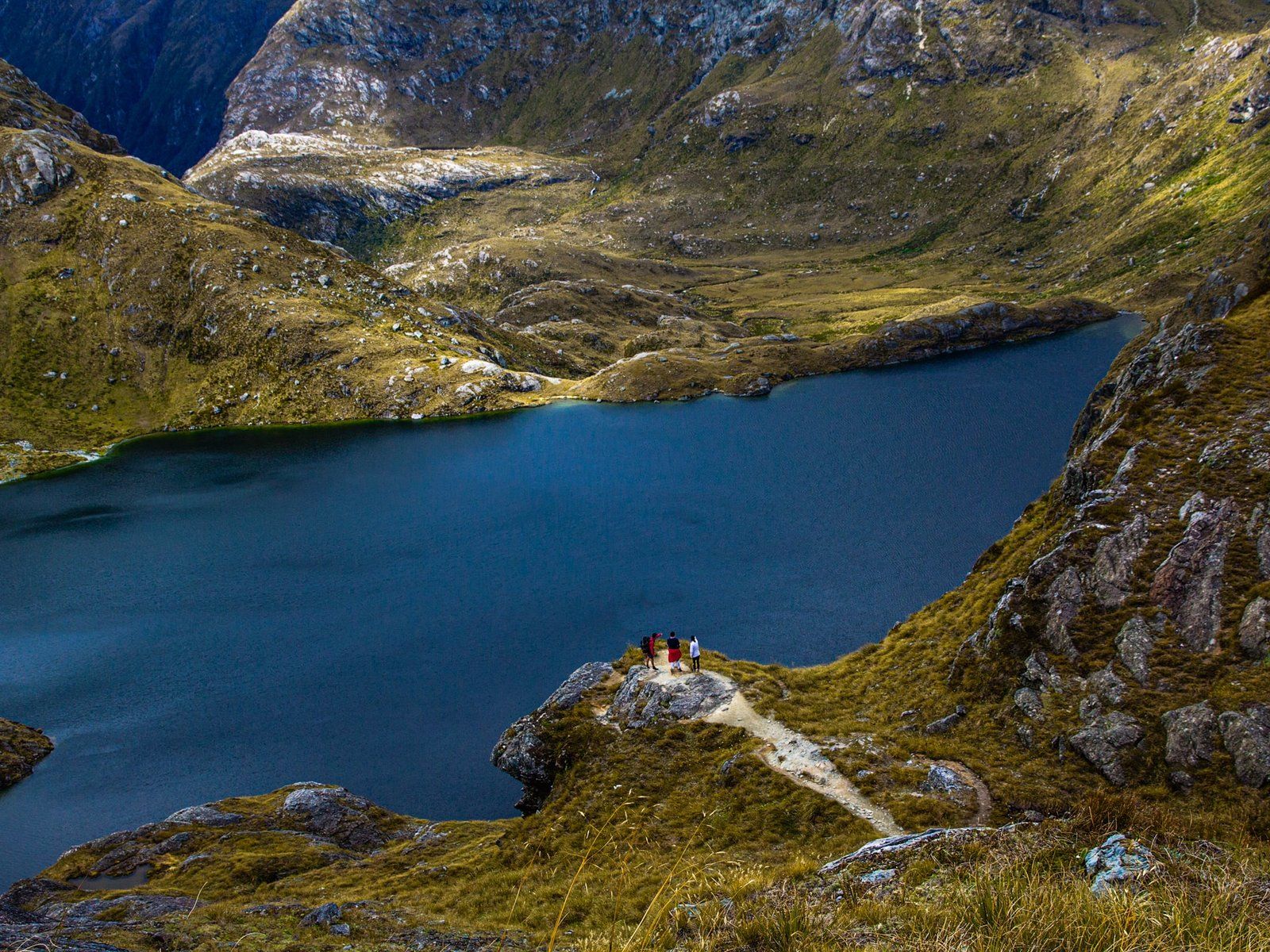
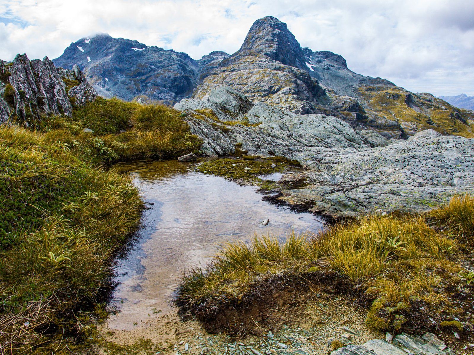
The hike provides an exceptional alpine experience, particularly beyond Routeburn Falls. As you ascend through the wide amphitheatre, steep mountains rise to the north and south. The Route Burn cascades down from Lake Harris, enhancing the dramatic scenery. After about 45 minutes, the track rises above the lake, following the cliff edge towards the Saddle. Here, you can take in breathtaking views of Lake Harris, the Hollyford Valley, and the Darran Mountains.
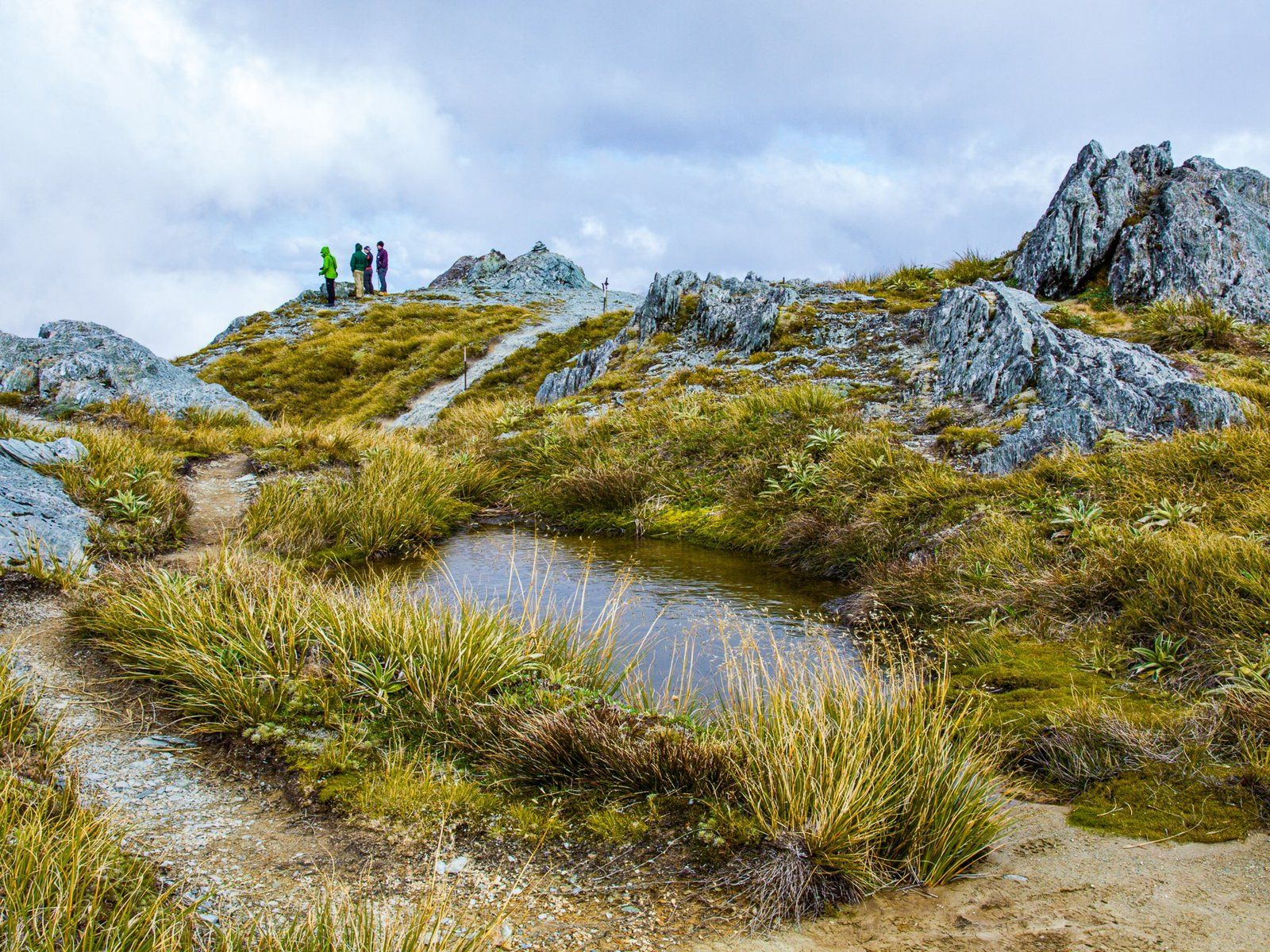
Perfect Spots for Rest and Exploration
The Harris Saddle has a shelter that makes an ideal lunch spot. If you have extra energy, consider climbing Conical Hill. This short but steep ascent of 230 metres takes about 30 minutes and reaches a height of 1,515 metres, with nearly 360-degree views of the surrounding landscape.
Important Considerations for Your Hike
Remember that this hike traverses a high alpine region. Always check the weather conditions before setting out and be prepared to turn back if the weather deteriorates. Ensure you have enough water, food, and appropriate clothing for the conditions.
How to Get There
To reach the Routeburn Shelter, start from Glenorchy at the top of Lake Wakatipu. Head north on Glenorchy Paradise Road, then west on Prior Road, which becomes Glenorchy Routeburn Road. After crossing the bridge over the Dart River, turn north onto the gravel Routeburn Road. This leads to the car park at Routeburn Shelter.
In the area, you can also explore Lake Sylvan, accessible from Routeburn Road, or visit Kinloch and the Rere Lake Walk from the Greenstone Caples Track car park at the end of Greenstone Station Road.