The Grebe Valley Viewpoint in Fiordland
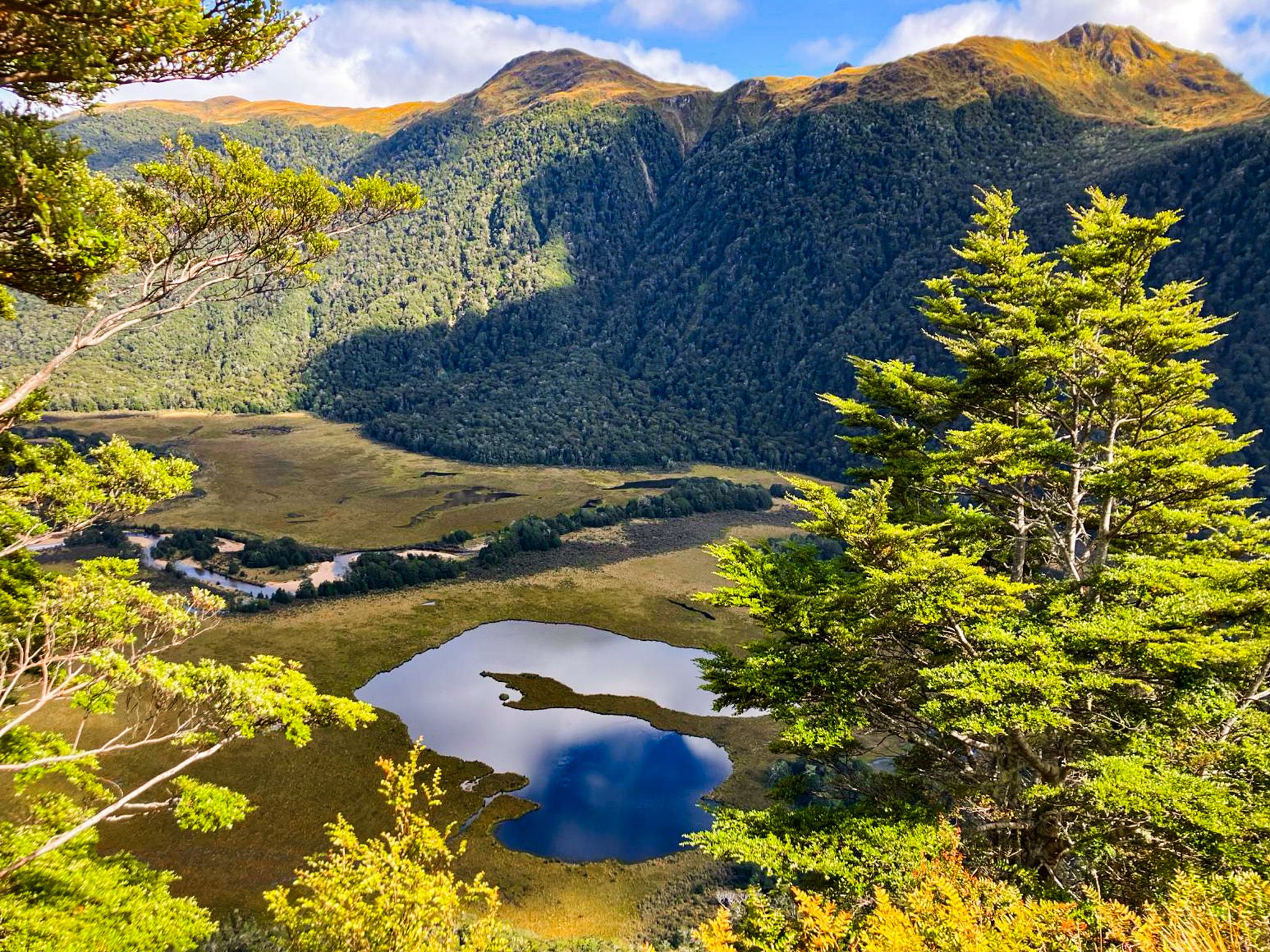
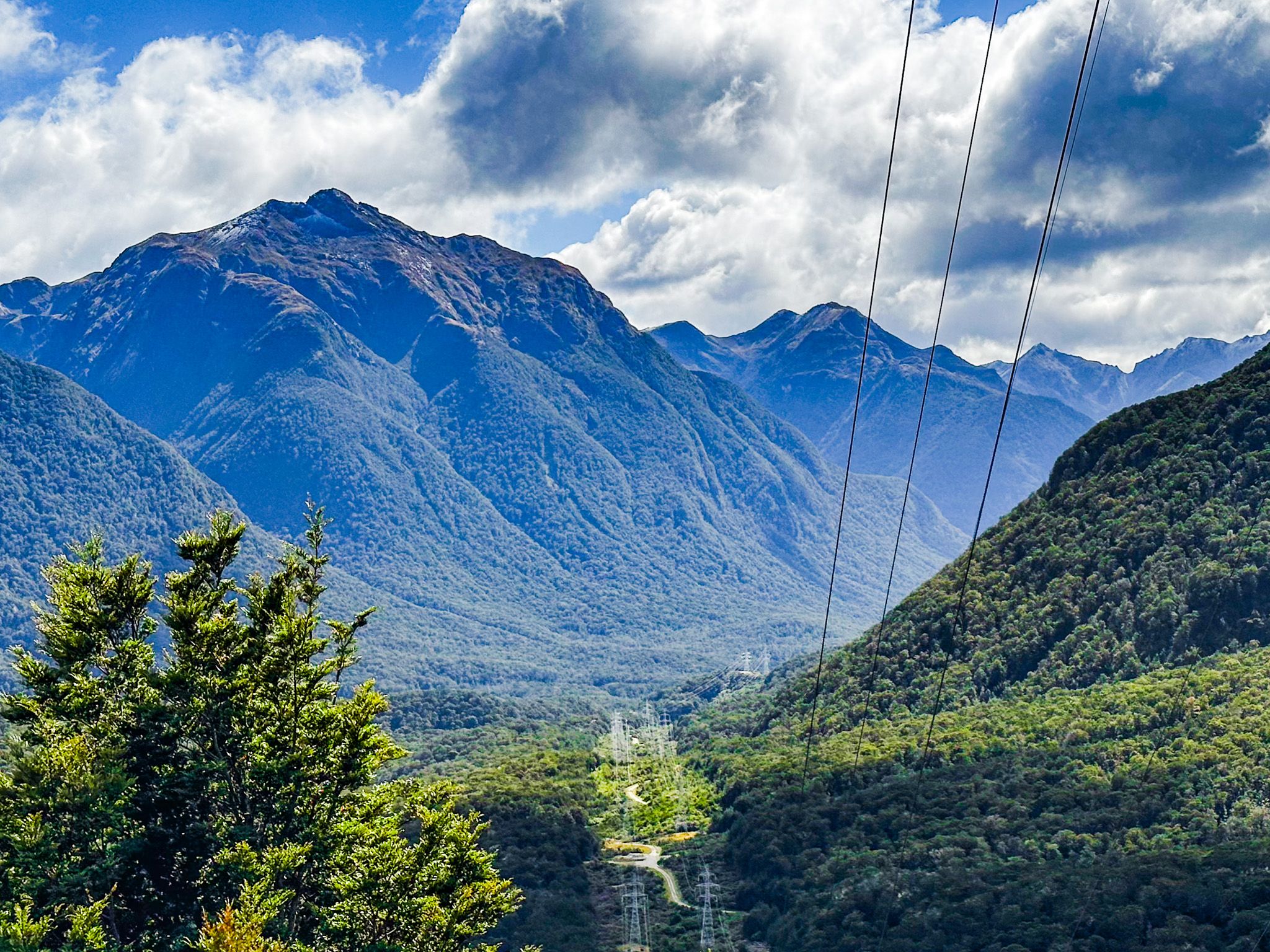
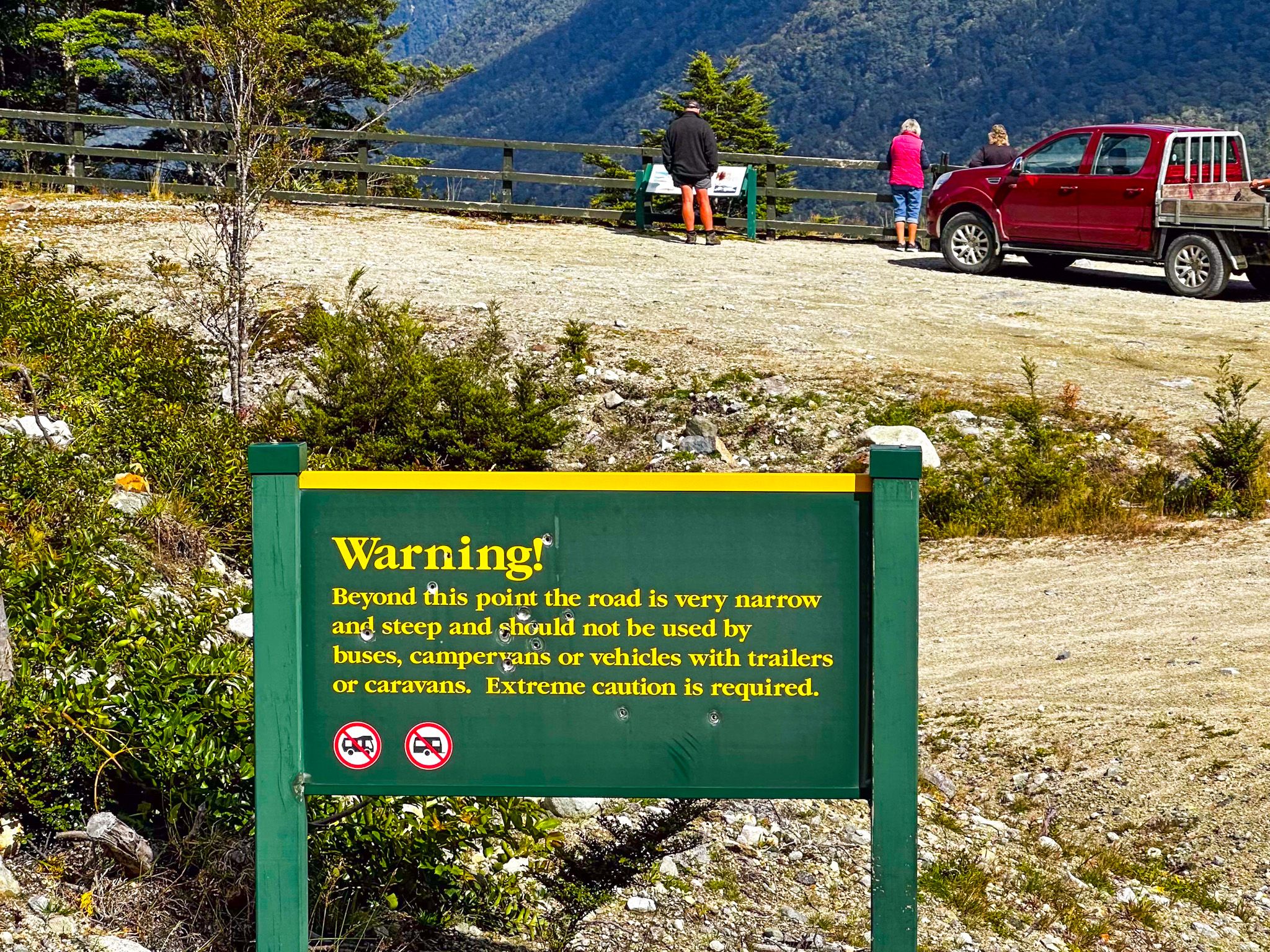
Located deep within Fiordland National Park on Borland Road, the Grebe Valley Viewpoint provides breathtaking views of the Grebe Valley and the surrounding mountain ranges to the west. At the viewpoint, you are 280 metres above the valley, on the edge of a near sheer cliff and as far as you can take a 2WD car.
Scenic Views and Geological Wonders
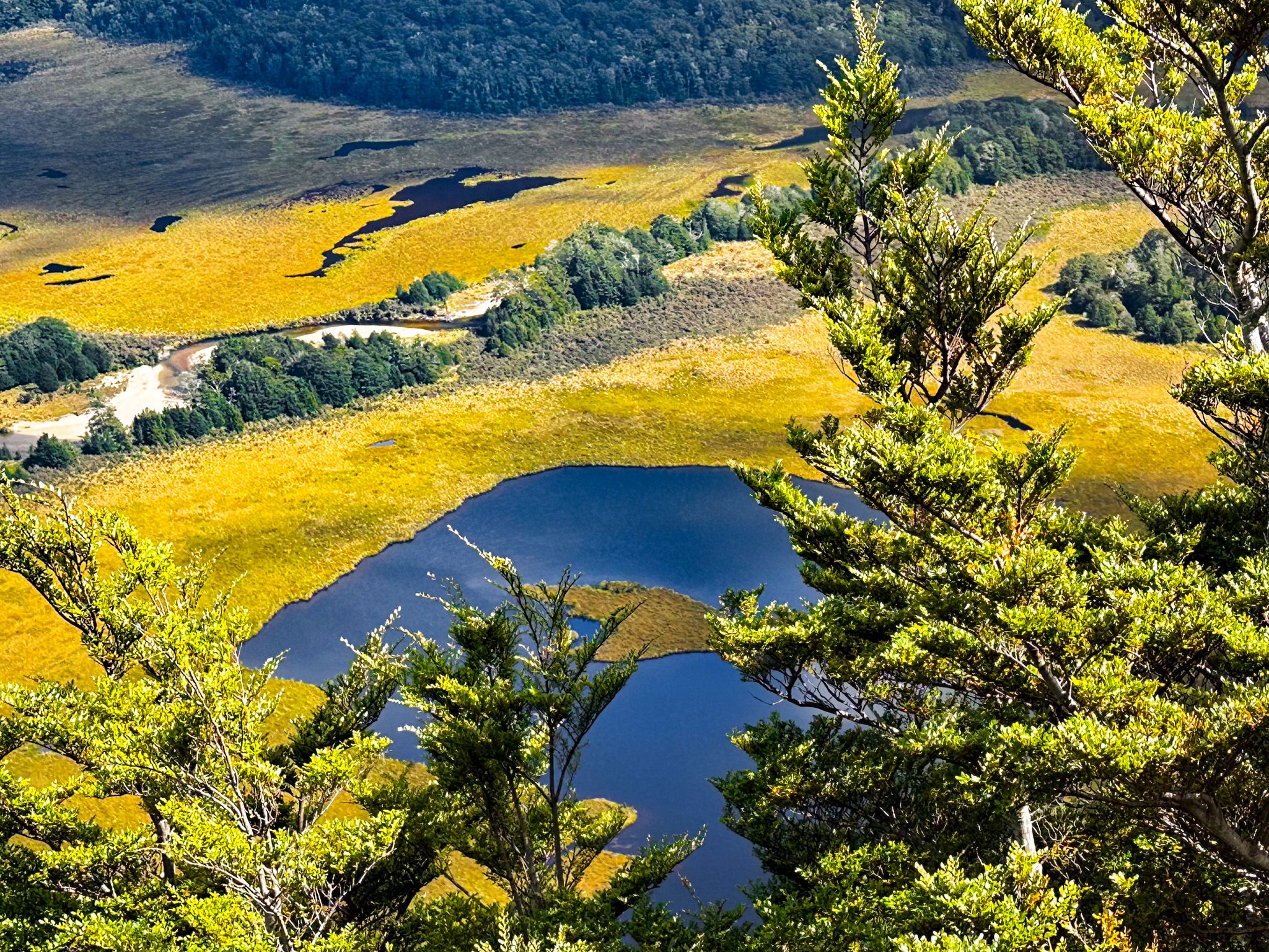
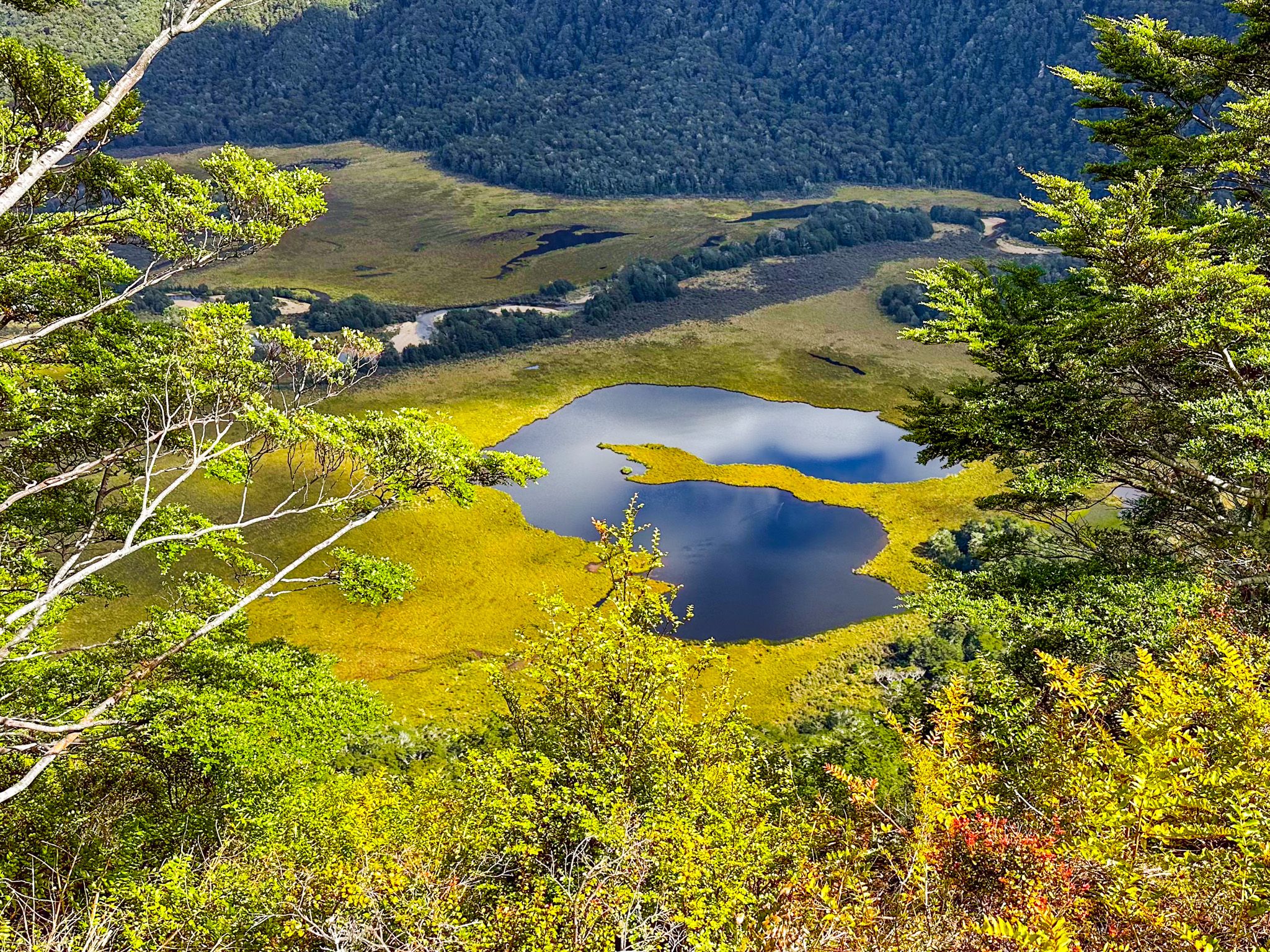
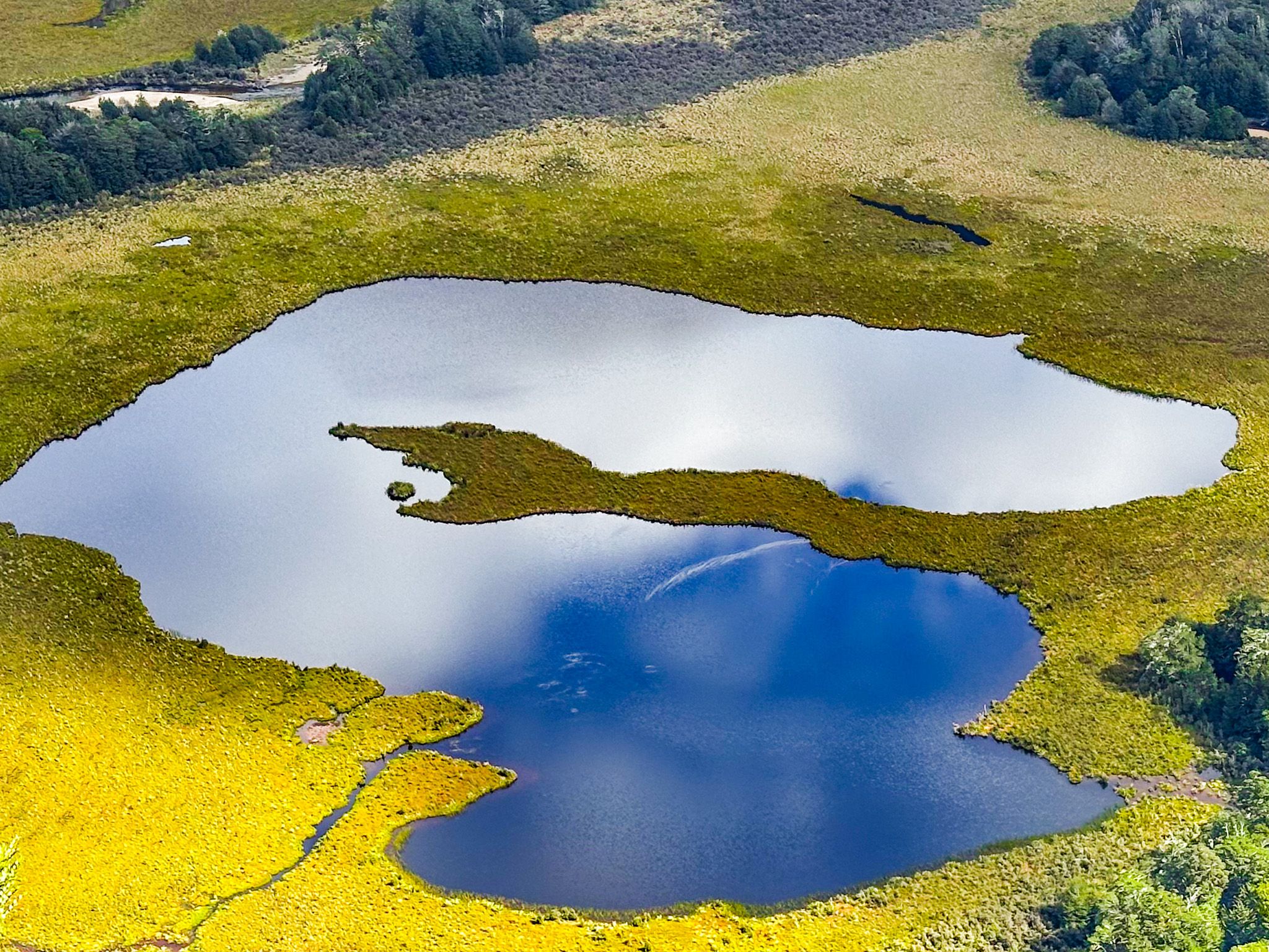
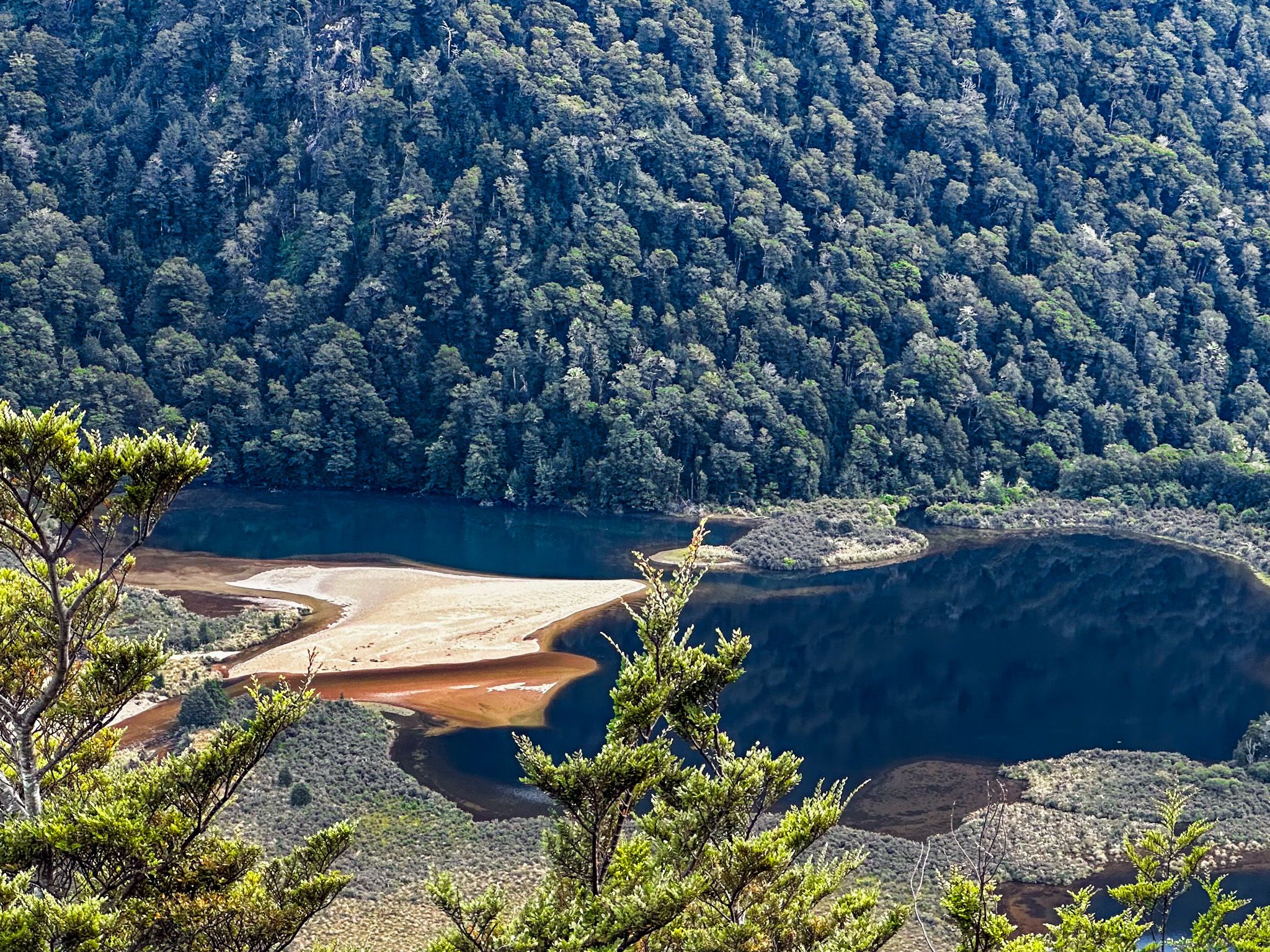
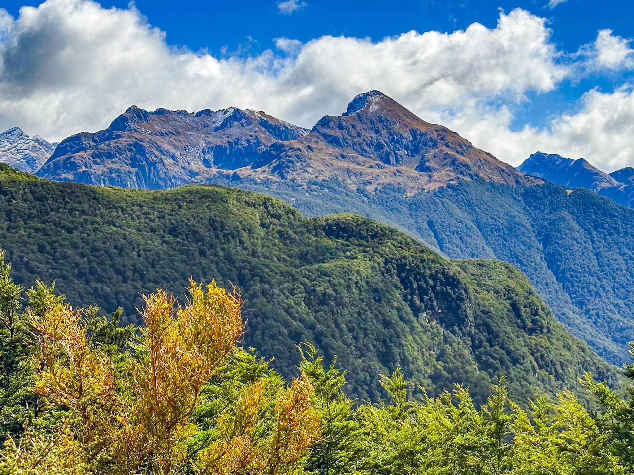
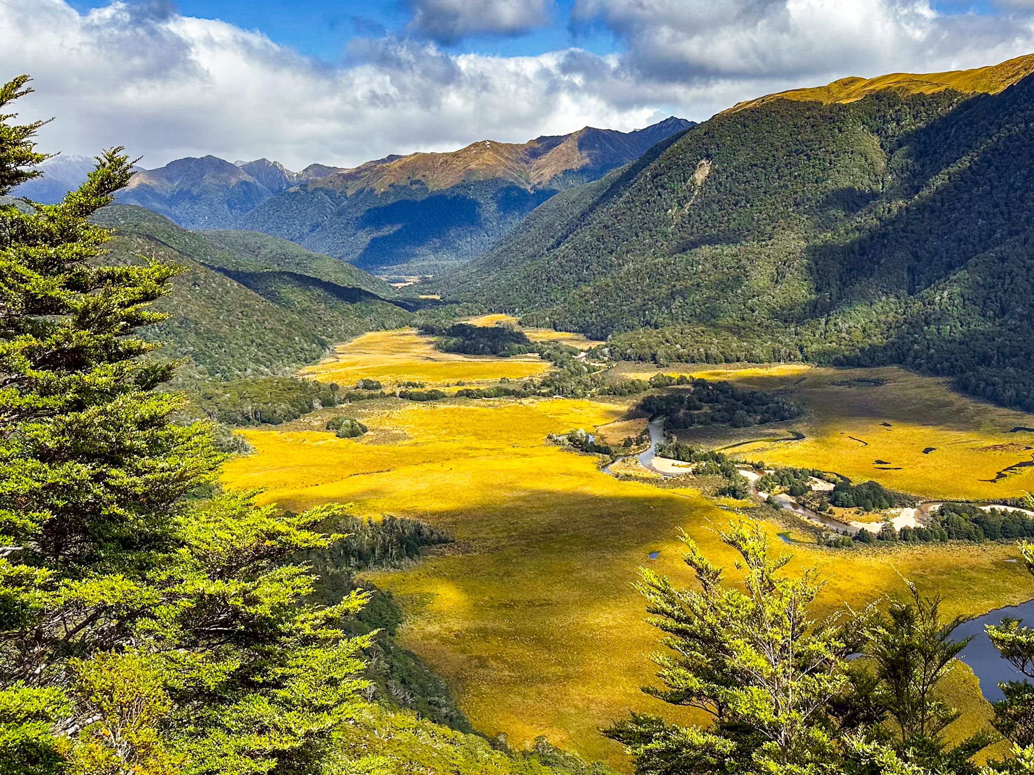
From this viewpoint, you can gaze down at the Grebe River as it winds through fields of golden grass, dotted with several small lakes. To the south, a panel offers insights into the Green Lake landslide, a significant geological event. This landslide occurred when a portion of the Hunter Mountains collapsed into the Grebe River Valley, creating a distinctive landscape of large, forest-covered mounds. This noticeable feature contrasts sharply with the steep, glacier-carved mountainsides nearby.
The Green Lake Landslide
The Green Lake landslide, which took place 12,000 to 13,000 years ago, was likely influenced by glacial retreat and seismic activity. Covering an area of 45 square kilometres with an estimated volume of 27 cubic kilometres, it is the largest-known landslide above sea level in the world.
How to Get There
To reach the Grebe Valley Viewpoint, drive 22.6 kilometres along the remote Borland Road, crossing Borland Saddle. If you have a 4WD vehicle, you can continue another 20.4 kilometres to the South Arm of Lake Manapouri, where a campsite is available. However, the road beyond the lookout is often closed, particularly in winter and early spring, so check conditions and access in advance.
Other places to explore from the Borland Road include the Borland Nature Walk, the Borland Saddle, Mt Burns Tops and the Green Lake Track.