Exploring Borland Saddle
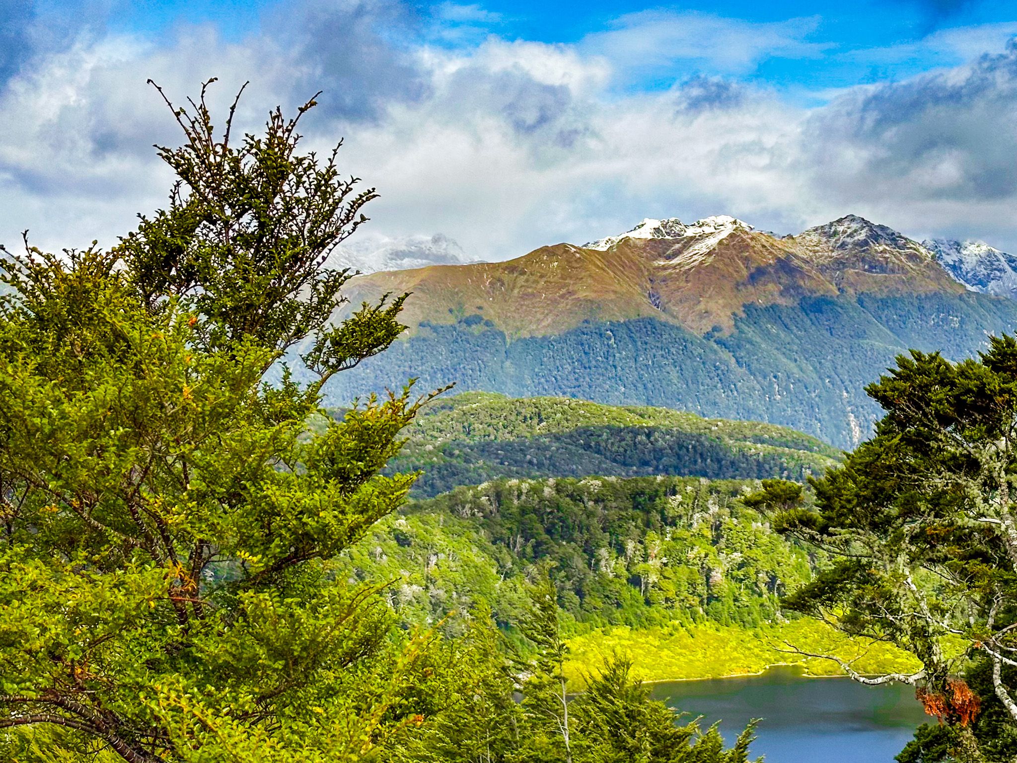
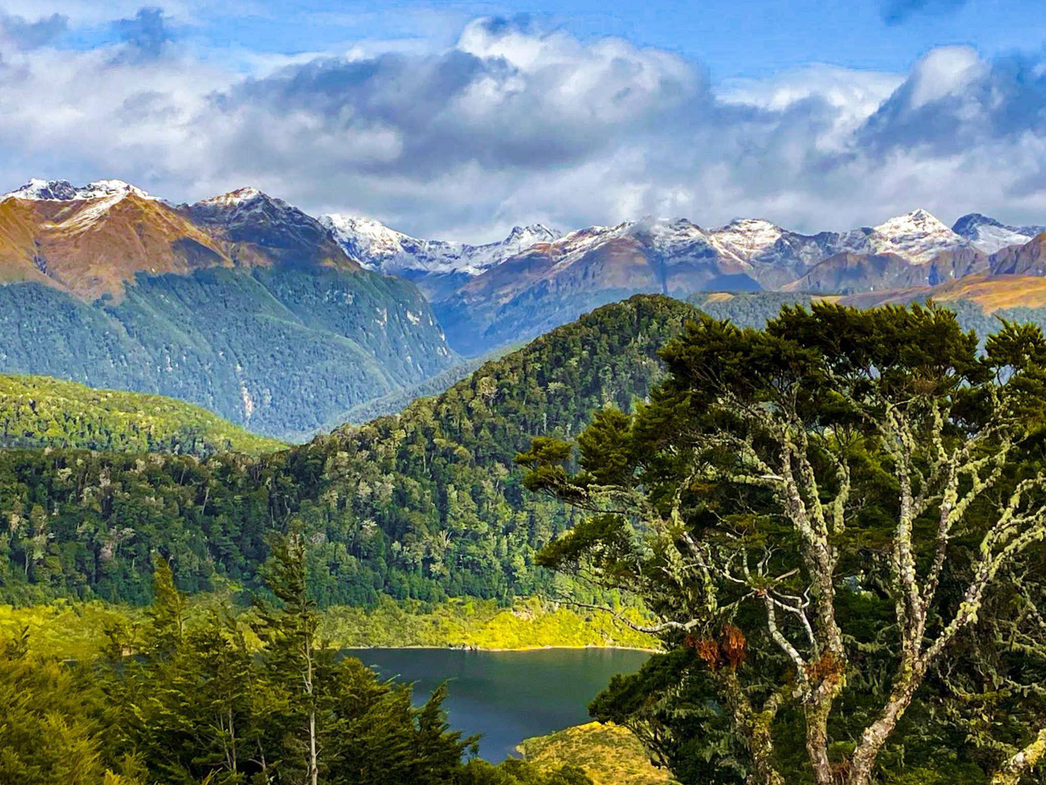
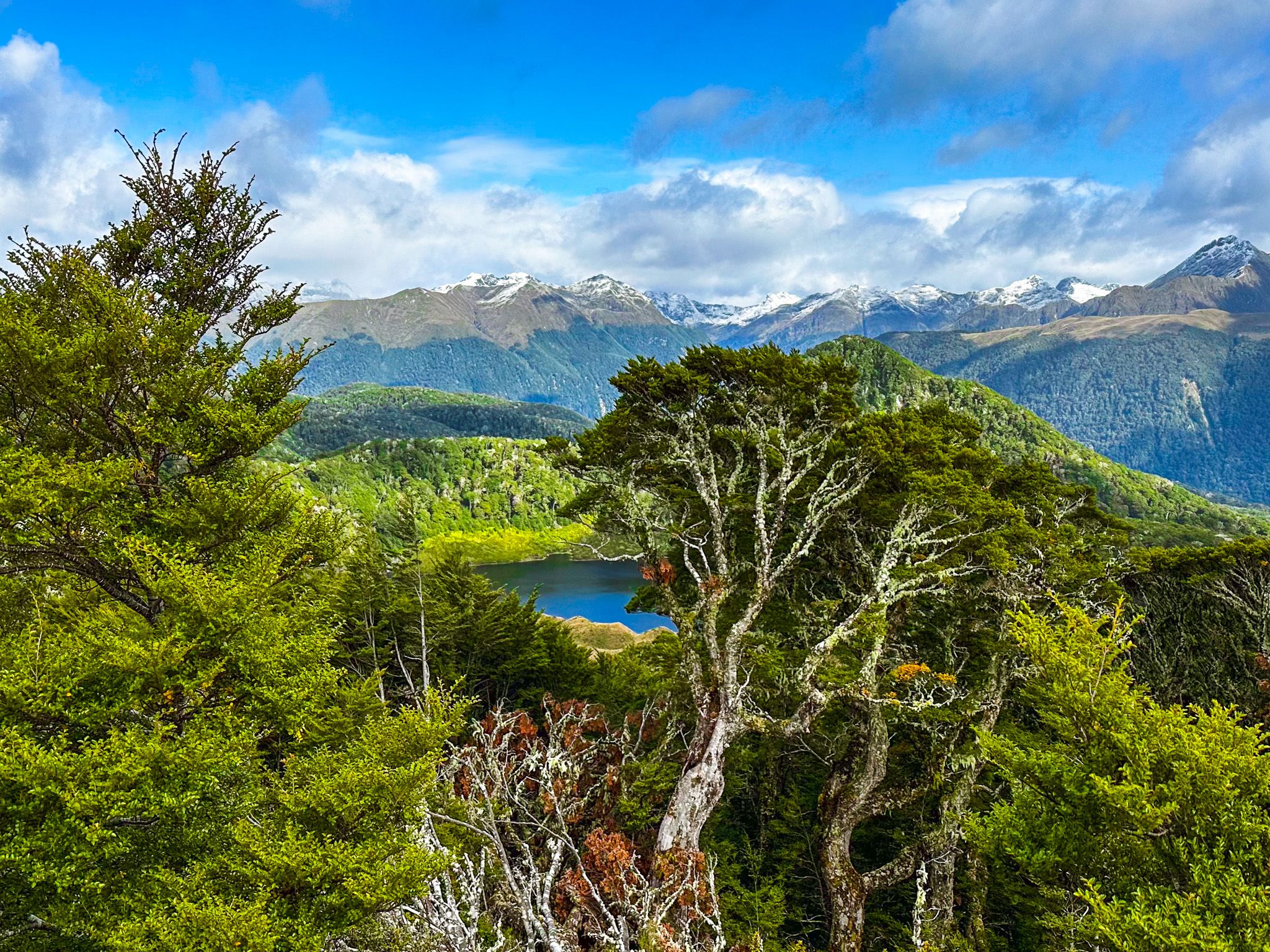
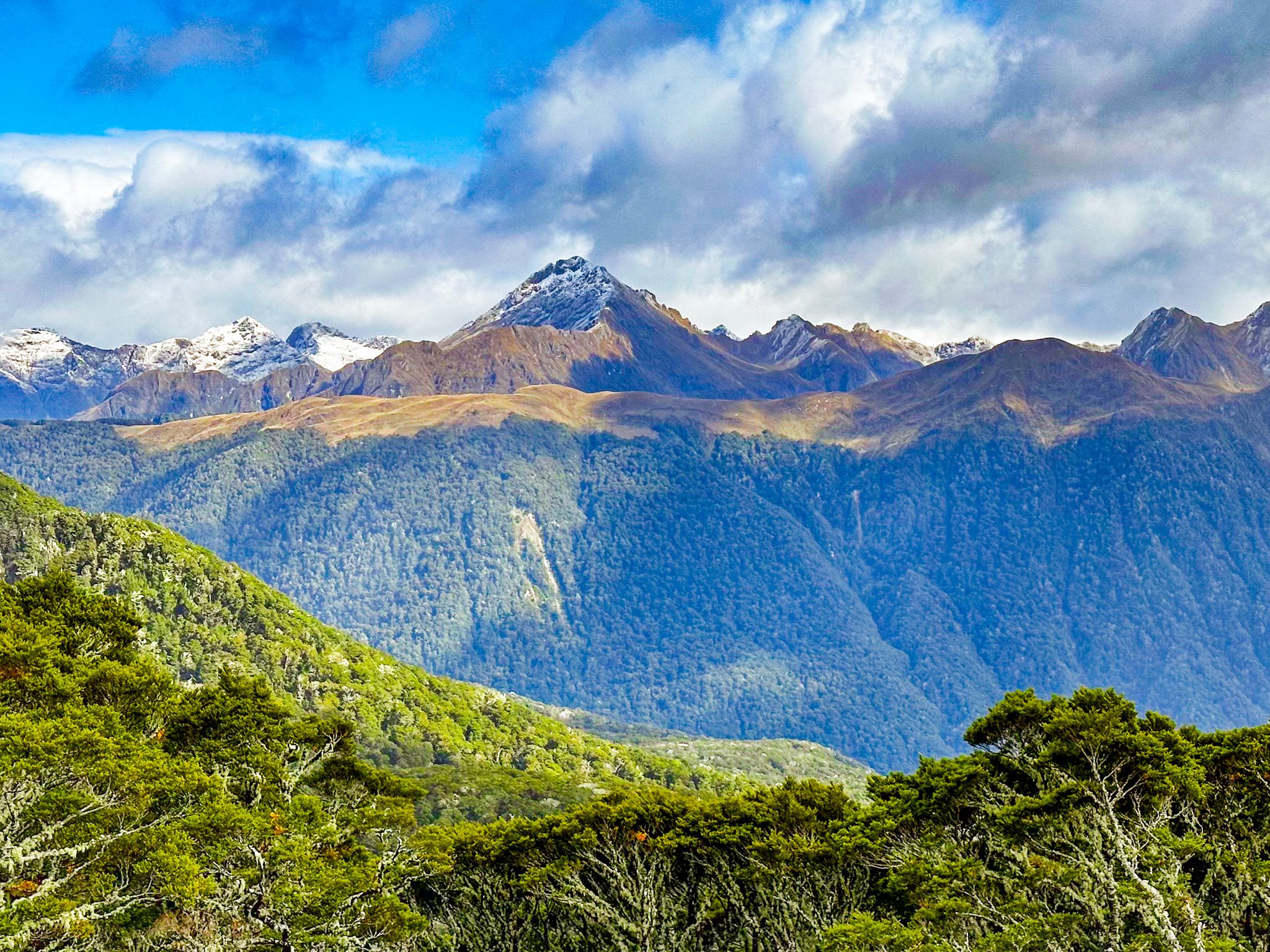
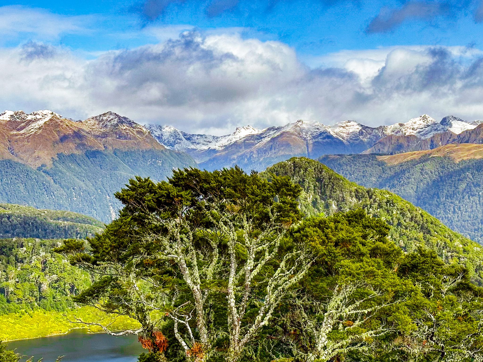
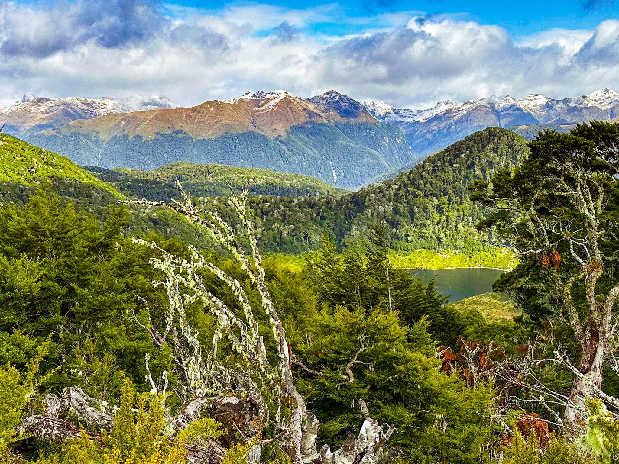
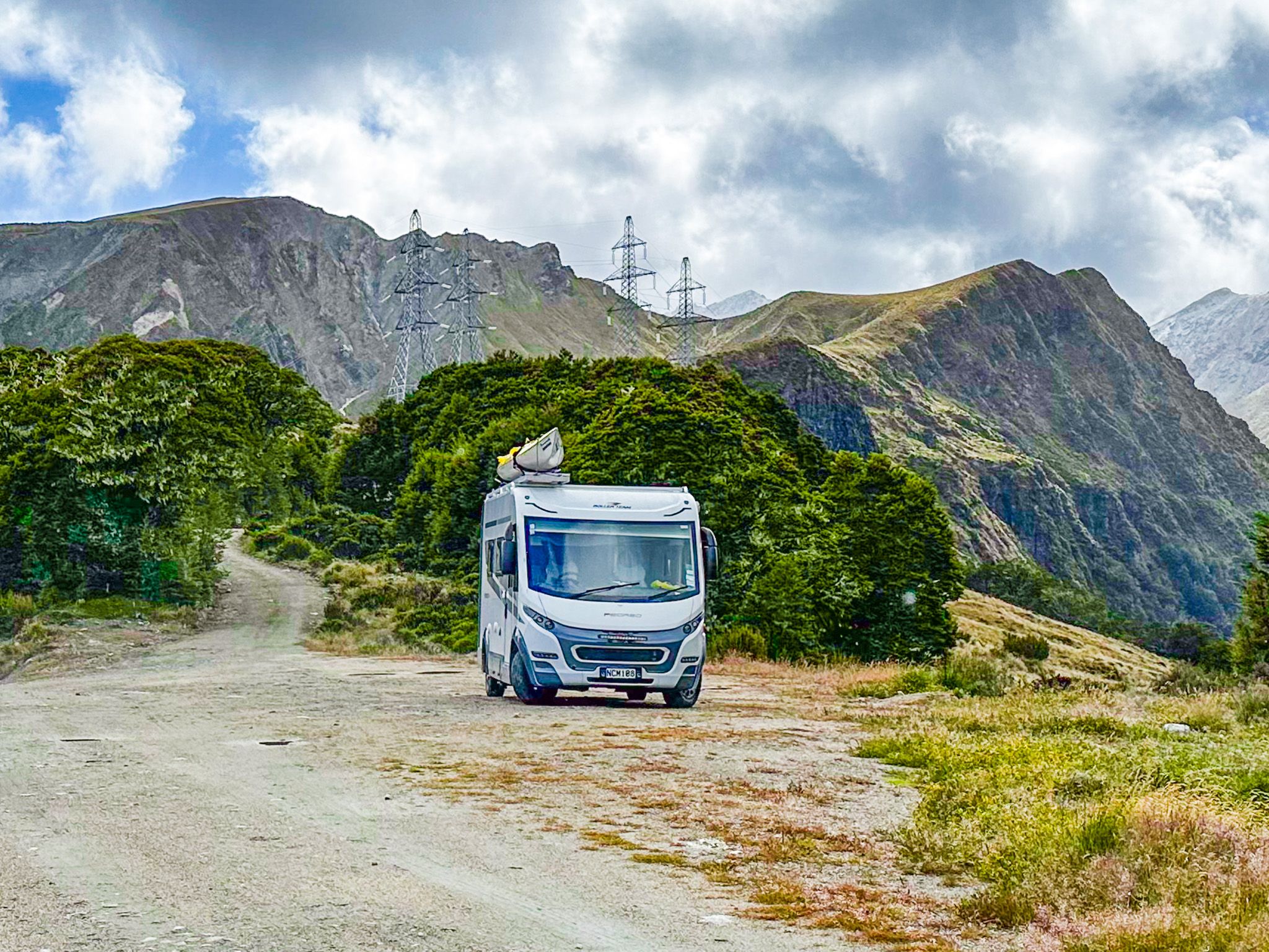
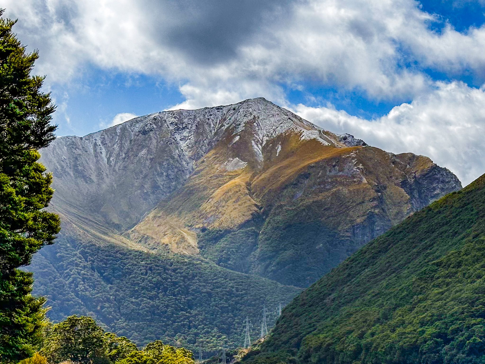
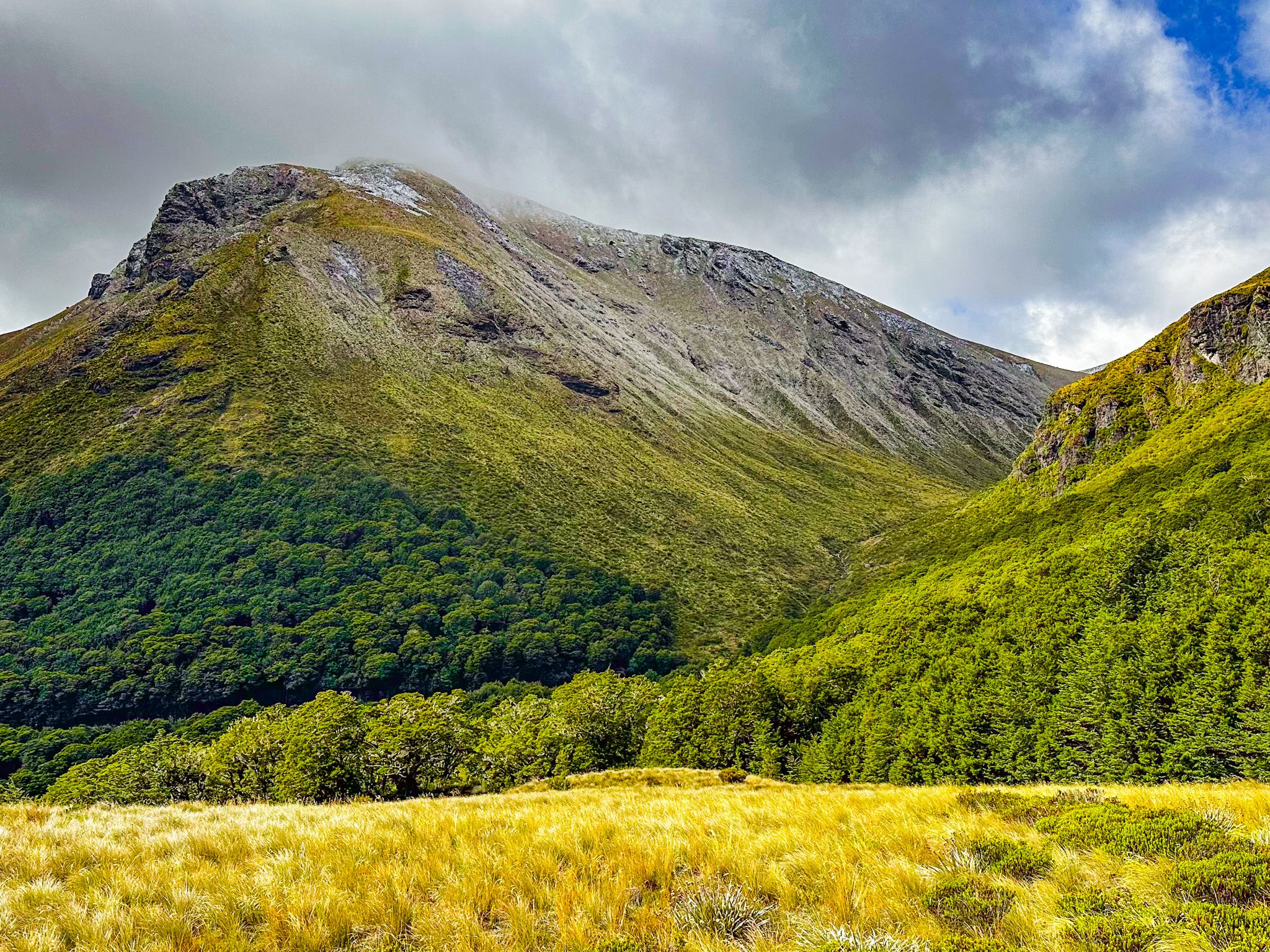
Borland Saddle, situated at an elevation of 990 metres, is a notable highlight along Borland Road within Fiordland National Park. Located 19.5 km from the Lake Monowai Road turnoff, this area offers stunning views of the surrounding mountains and valleys to the southwest. The saddle features a spacious parking area, making it an ideal spot for visitors to pause and take in the scenery. To the east, the tussock-covered Mount Burns rises to 1,645 metres, while a secondary peak reaches 1,299 metres to the north. The highest section of the Hunter Mountains, exceeding 1,600 metres, is also visible from the north side of the saddle.
Mount Burns Tops Track
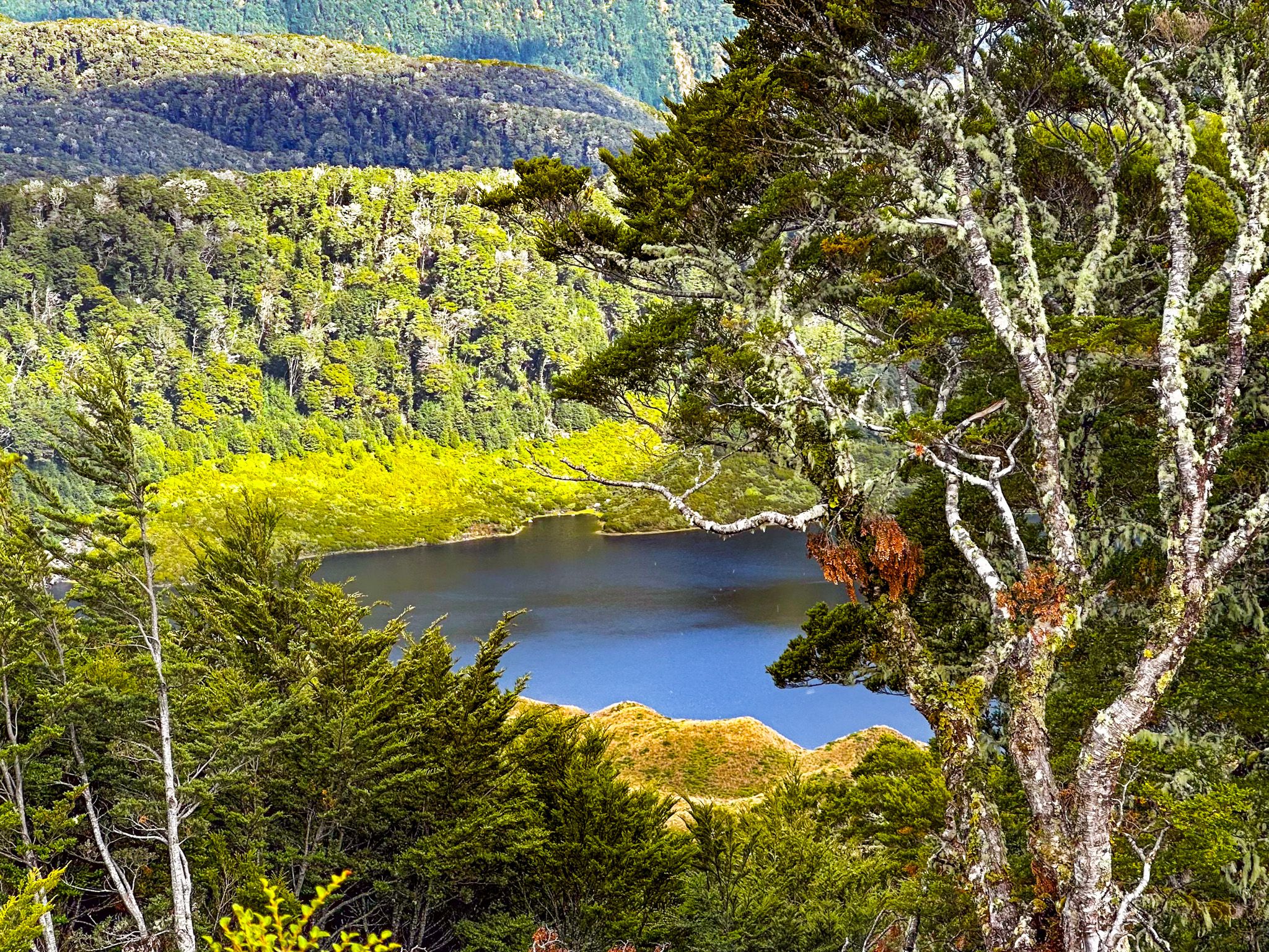
The Mount Burns Tops Track begins at the southeast end of the Borland Saddle parking area. This track ascends a ridge to reach the tops at 1,200 metres. From this vantage point, visitors can explore a series of tarns and the summit of Mount Burns, offering a rewarding experience for those interested in hiking and nature.
Green Lake Track Access
Approximately 2 km west of the saddle along Borland Road, you will find access to the Green Lake Track. This track extends to Lake Monowai and connects with other remote trails, providing opportunities for further exploration in the area.
Getting to Borland Saddle
To reach Borland Saddle, take Lake Monowai Road from the Blackmount Redcliff Road section of the Southern Scenic Route in west Southland. This takes you to Borland Road, and the saddle is located 19.5 km from this junction, deep within Fiordland National Park.
