Douglas: Southern Gateway to the Forgotten World Highway
Lying on inland Taranaki’s rolling farmland, Douglas sits at the south end of State Highway 43, the Forgotten World Highway. It’s about a 20-minute drive east of Stratford and 30 minutes from Whangamōmona. Though it may not appear on most tourist maps, Douglas plays an important transitional role: it’s where the steep, eroding or forested hills of the highway give way to the open green plains of dairy country.
Rural Scenery and Volcanic Backdrop
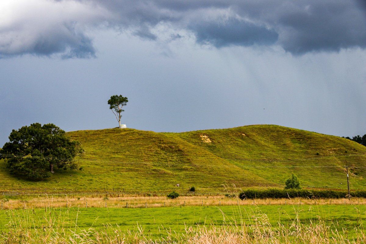
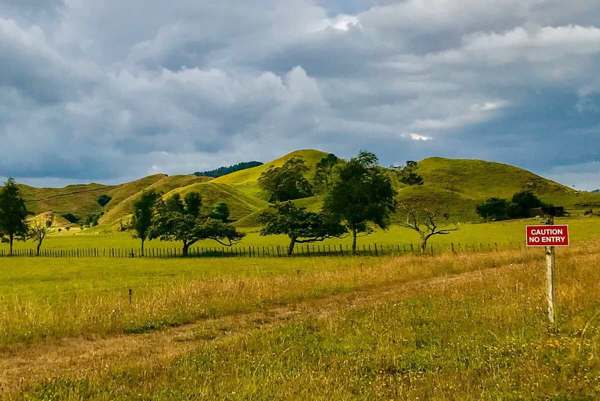
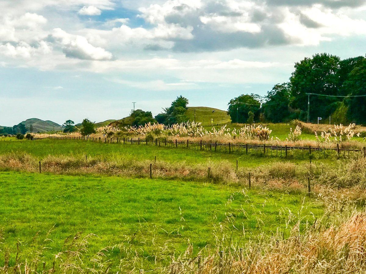
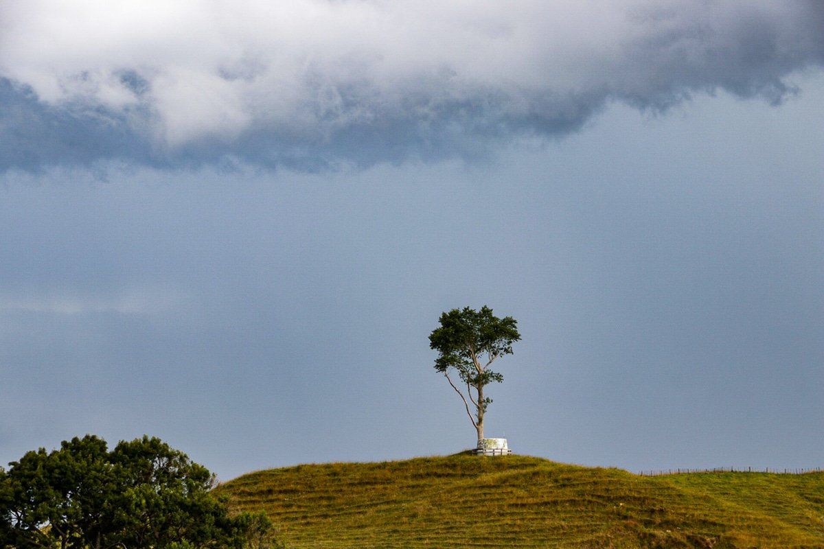
Douglas lies on the edge of a valley carved by the Toko Stream, surrounded by productive farmland and distant views of Taranaki Maunga. The landscape is typically Taranaki, green and gently undulating. To the east, the terrain begins to climb into the rugged hill country that characterises much of the Forgotten World Highway, a striking visual shift.
From Bustling Stop to Quiet Hamlet
Douglas may have been named for a member of the party that surveyed the area. Local Māori call it Oruru after the native owl, ruru.
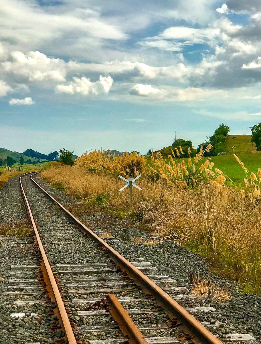
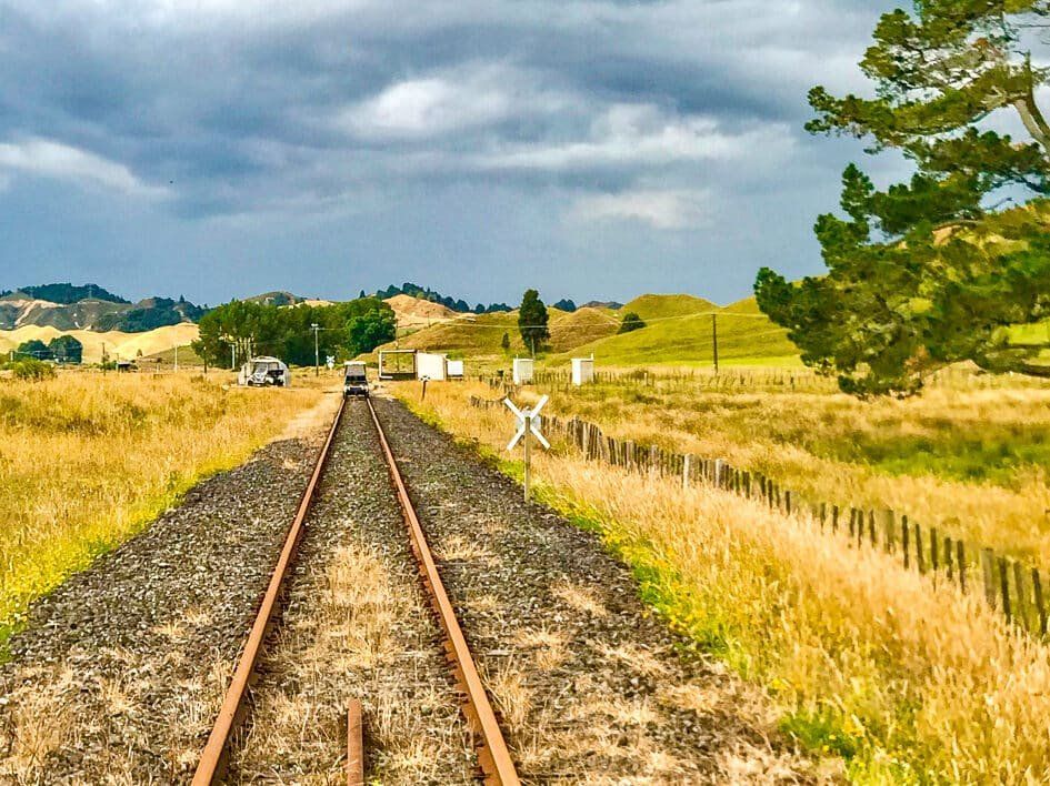
In the early 1900s, Douglas became a thriving rural hub as the valleys were drained of wetlands and forests were cleared. It had a railway siding on the now-defunct Stratford–Okahukura Line, a brickworks, a stockyard, and even its own post office. In the 1930s, its rural saleyard was the biggest in Taranaki by turnover!
Like many NZ rural settlements, the local population gradually diminished throughout the 20th century, as farming became less labour-intensive and people drifted to cities. Today, you can see the location of the defunct railway line and a handful of surviving buildings, including a local hall.
How to Get There
Douglas is located on SH43, around 35 minutes northeast of Hāwera via SH3 and SH43, or just over an hour southeast of New Plymouth on SH3 and SH43. The Forgotten World Highway continues from Douglas through Whangamōmona and eventually to Taumarunui.
From Douglas, you are also only a 45-minute (45 km) drive from Dawson Falls on Mt Taranaki, within Te Papa-Kura-o-Taranaki.