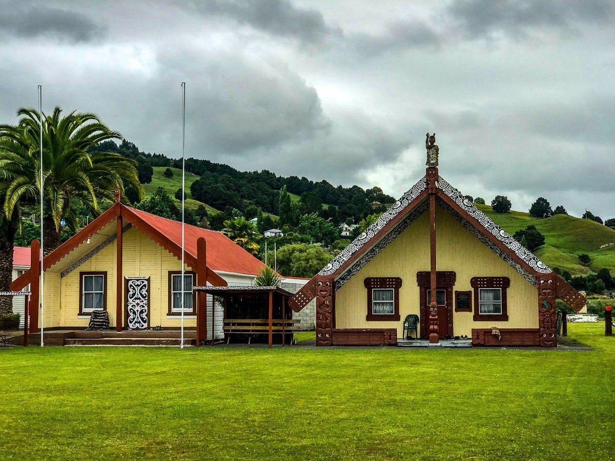
Exploring Taumarunui
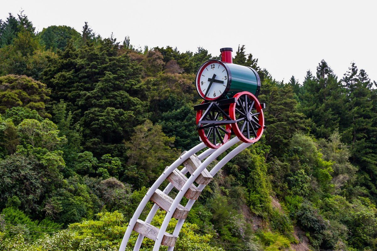
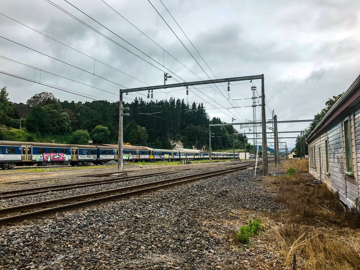
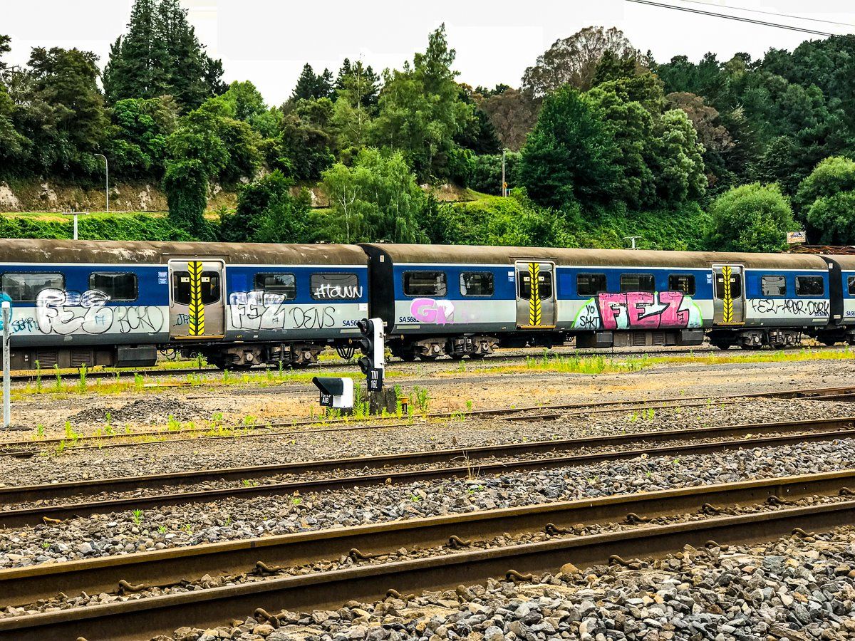
Taumarunui, located on State Highway 4 west of Lake Taupo, serves as a gateway to Tongariro National Park and the Forgotten World Highway leading to Taranaki. This town is not only a key access point for exploring natural wonders but also holds historical significance as the centre of the North Island rail line. A notable curiosity in Taumarunui is the old carriage "graveyard" along the main highway, adorned with graffiti.
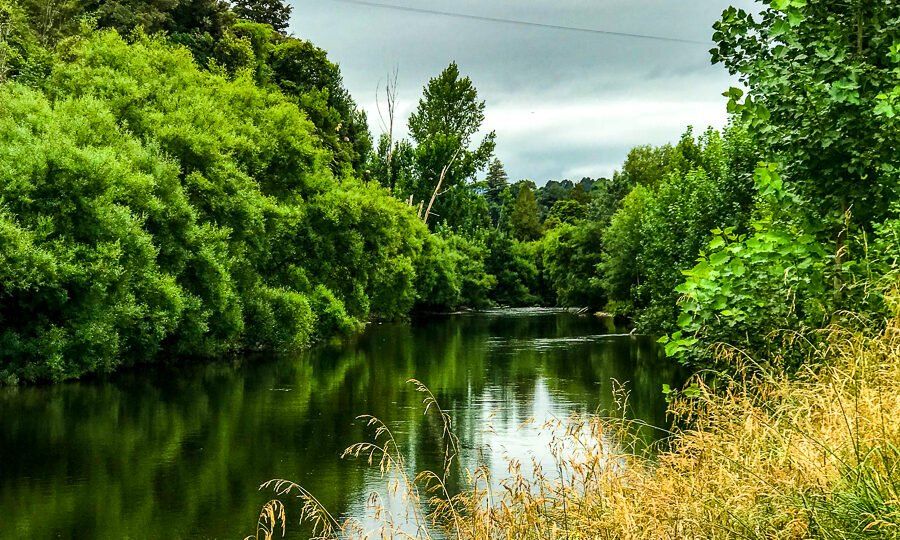
Walking Track Along the Ongarue River
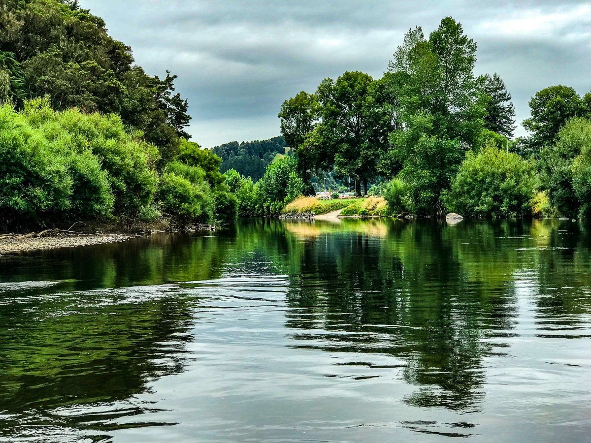
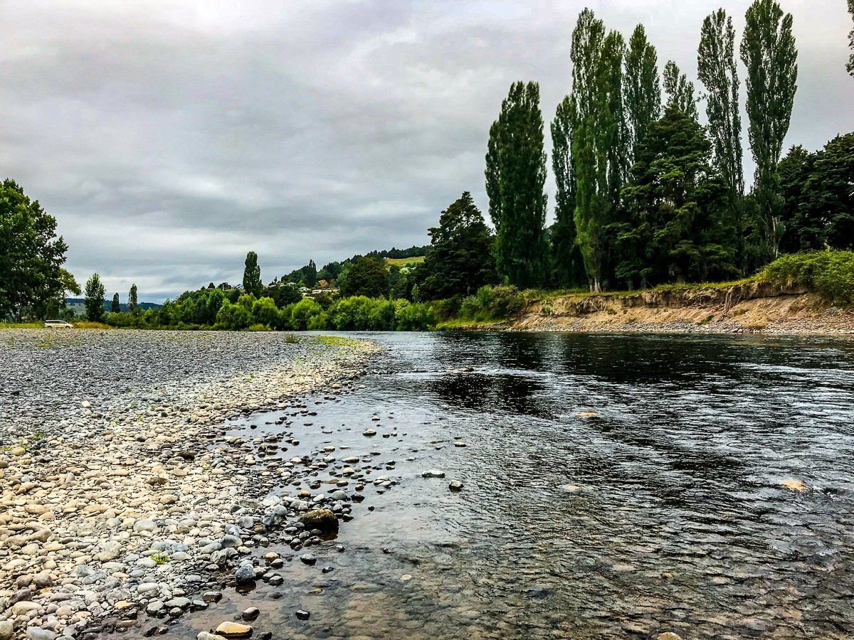
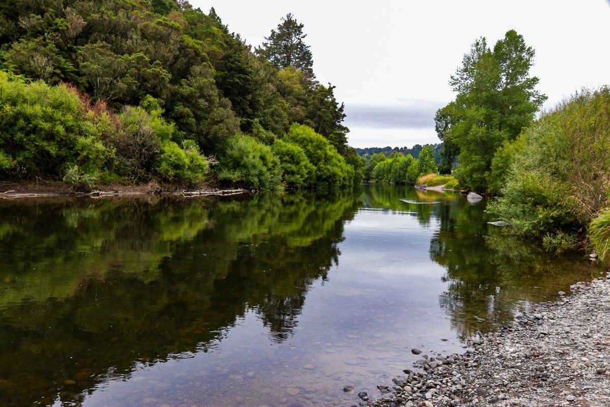
On the west side of Taumarunui, there is a scenic walk along the Ongarue River. The track begins on River Road and leads to the confluence of the Whanganui and Ongarue rivers.
The riverbanks here are particularly picturesque and mark the starting point for the Whanganui Journey, a multi-day canoe adventure on the Whanganui River. Although it involves boating, the Department of Conservation classifies it as one of the Great Walks.
To complete the loop, continue east along the Whanganui River and then head north on Morero Terrace.
Historical Significance of the Top Hat Memorial
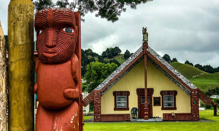
For those interested in history, Taumarunui offers the unique top hat memorial. The Māori name for the King Country is Te Rohe Pōtae, meaning "the area of the hat." This region was the last to resist European colonisation. The memorial symbolises the hat that was supposedly placed on a map by the Māori King, Tawhaio, of the North Island to indicate the area under the control of the Māori Kingitanga following the War in the Waikato.
How to Get There
Taumarunui lies between Te Kuiti and Tongariro National Park on State Highway 4. It is 2 hours, 20 minutes from Auckland and 30 minutes to Waimarino (previously National Park).
In addition to access to the Forgotten World Highway and National Park, it is a short drive to the Ohinetonga Reserve at Owhango, and from there to very remote Whakahoro and Blue Duck Station on the Whanganui River, via Oio Road.