Discover Lake Kaniere and Dorothy Falls
Tucked into the forested hills 30 minutes southeast of Hokitika on the West Coast, Lake Kaniere is a glacial lake known for its calm, mirror-like reflections and easy access to bush walks, a waterfall, and swimming spots.
Reflections, Forest and Falls
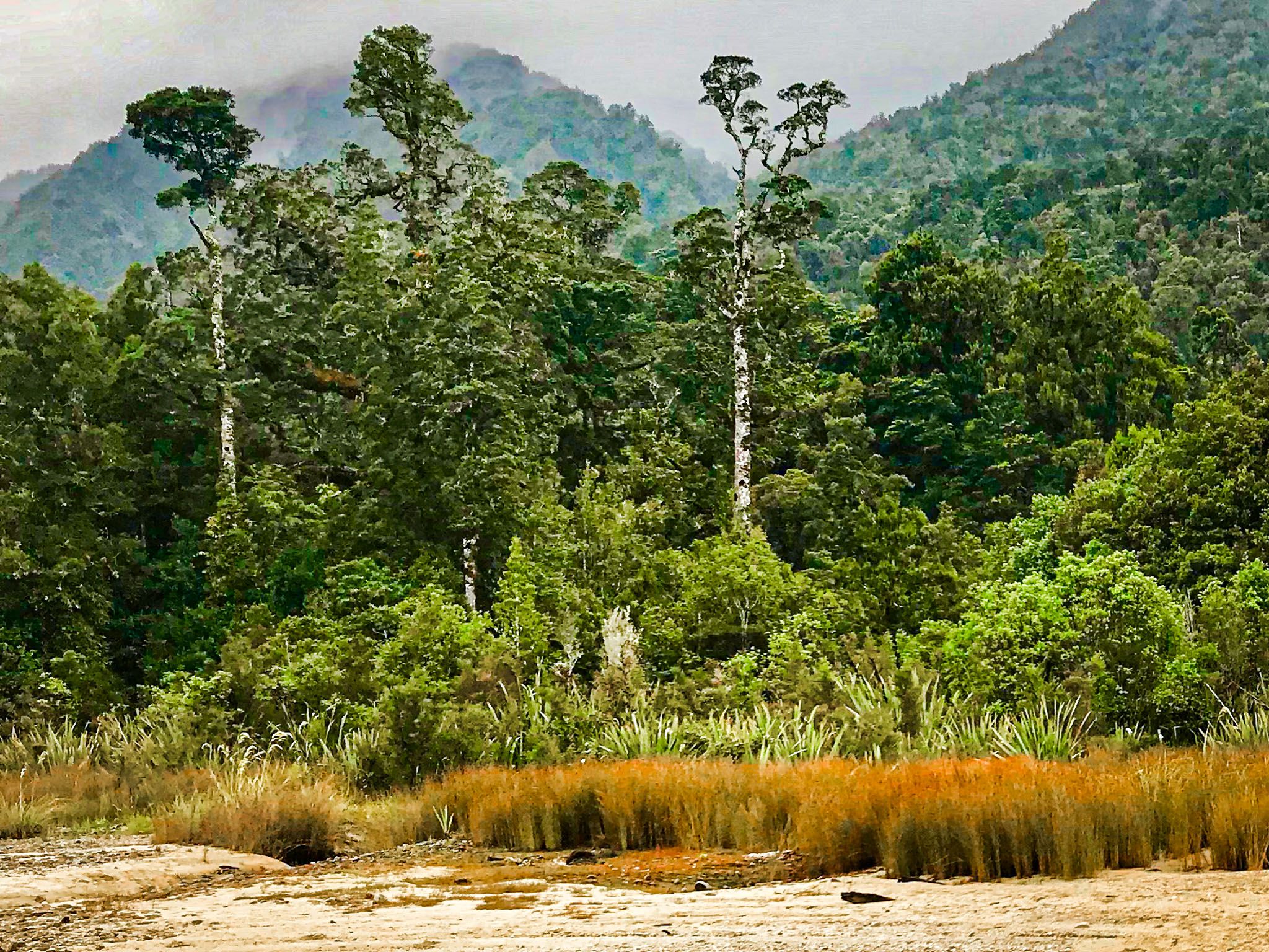
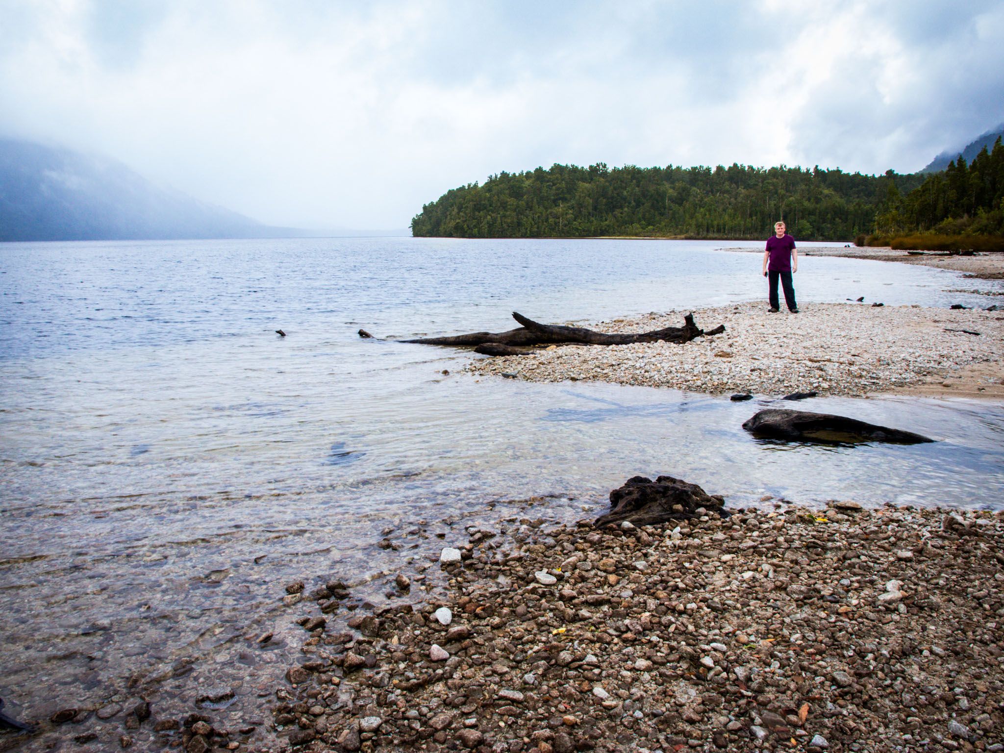
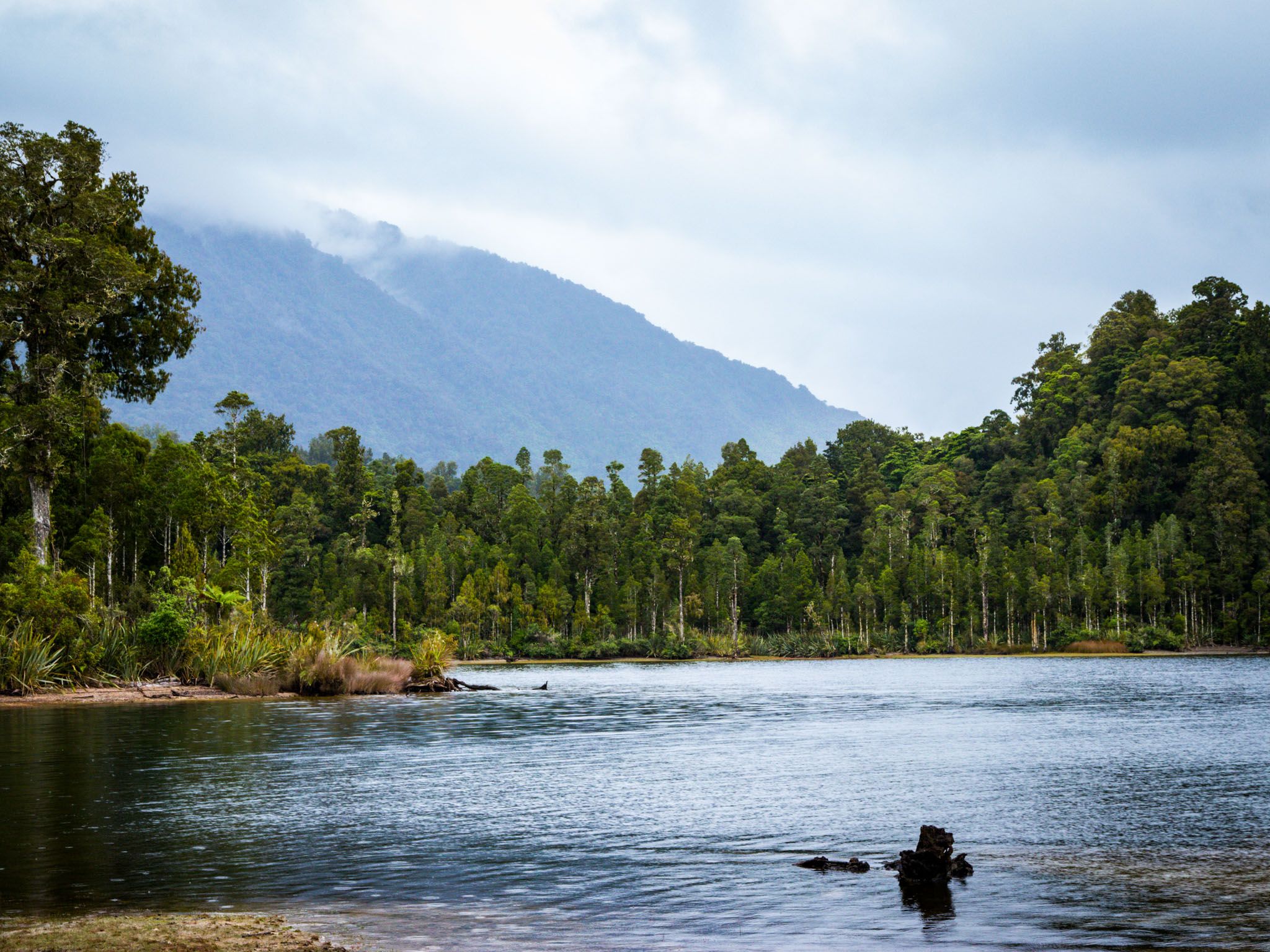
Set in a long, narrow valley surrounded by steep forested hills, carved out by glaciers and rising over 1,000 metres high on the east side, Lake Kaniere stretches around eight kilometres from north to south. On a still day, the lake becomes a perfect mirror, reflecting rimu, kahikatea and southern rātā along its shoreline. The lake’s northeastern shore is the most developed, with a handful of picnic spots, walking trails and the Hans Bay Campsite.
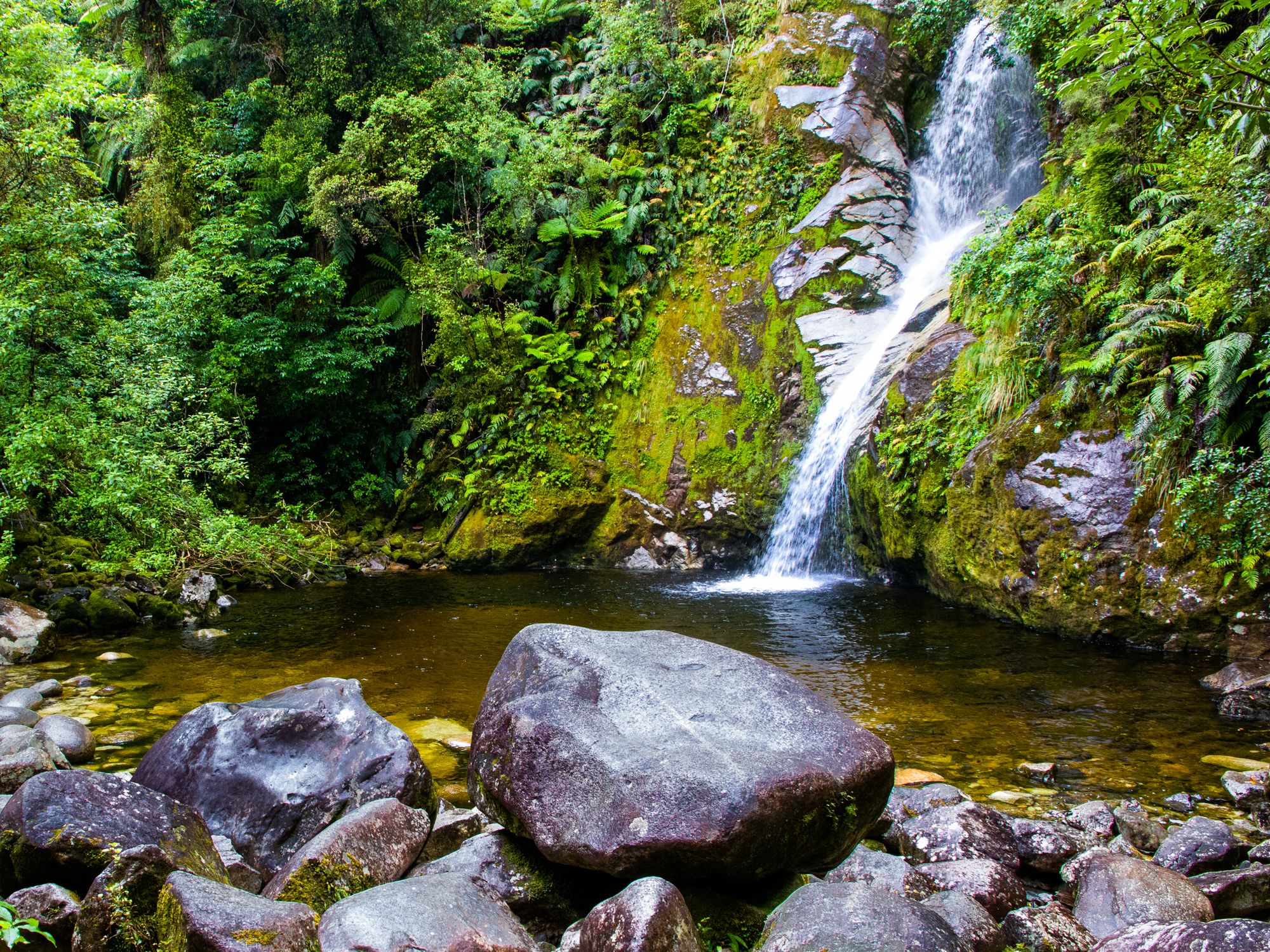
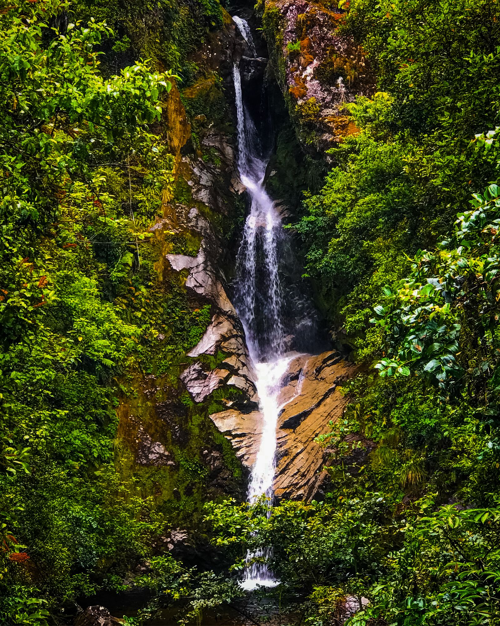
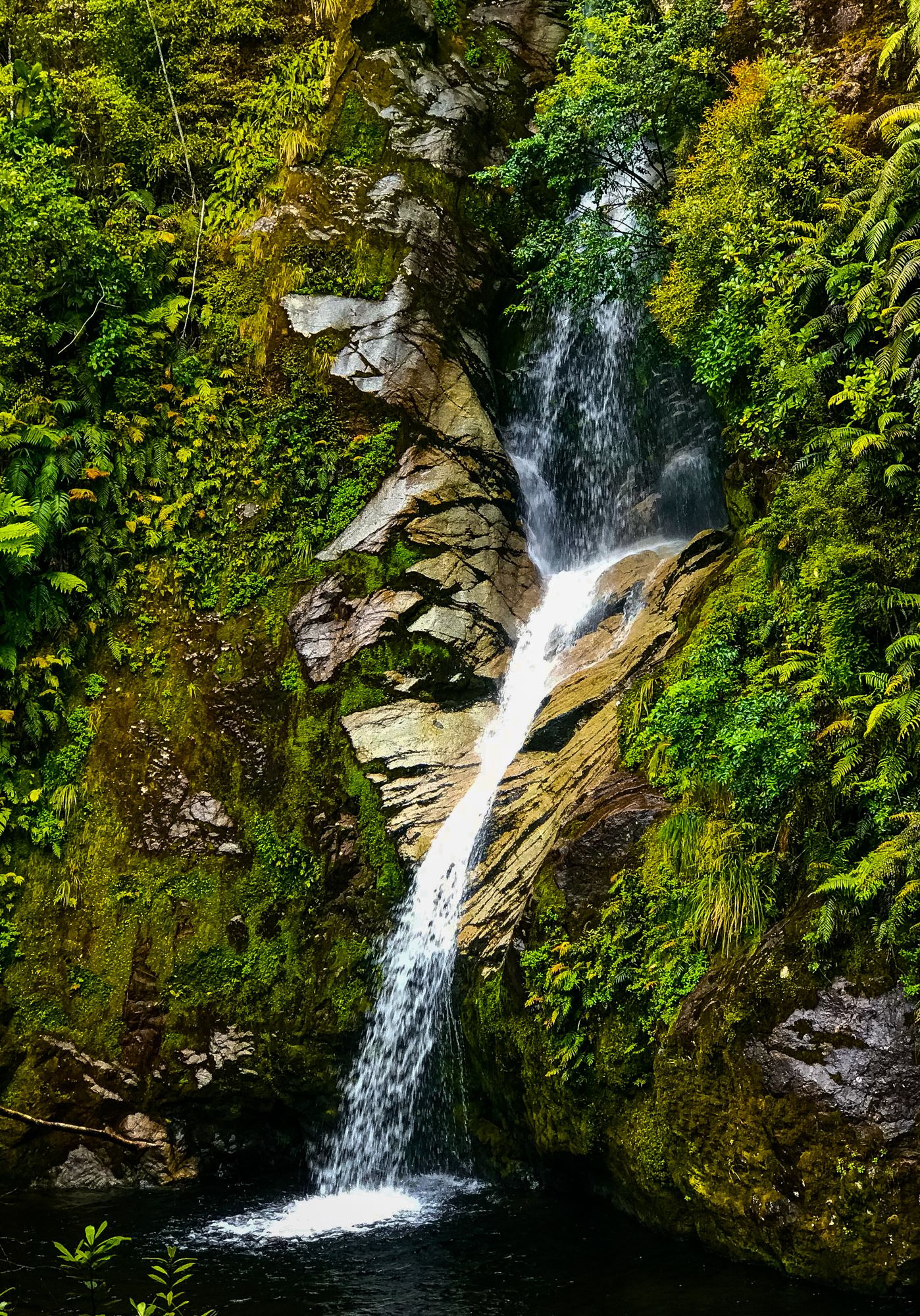
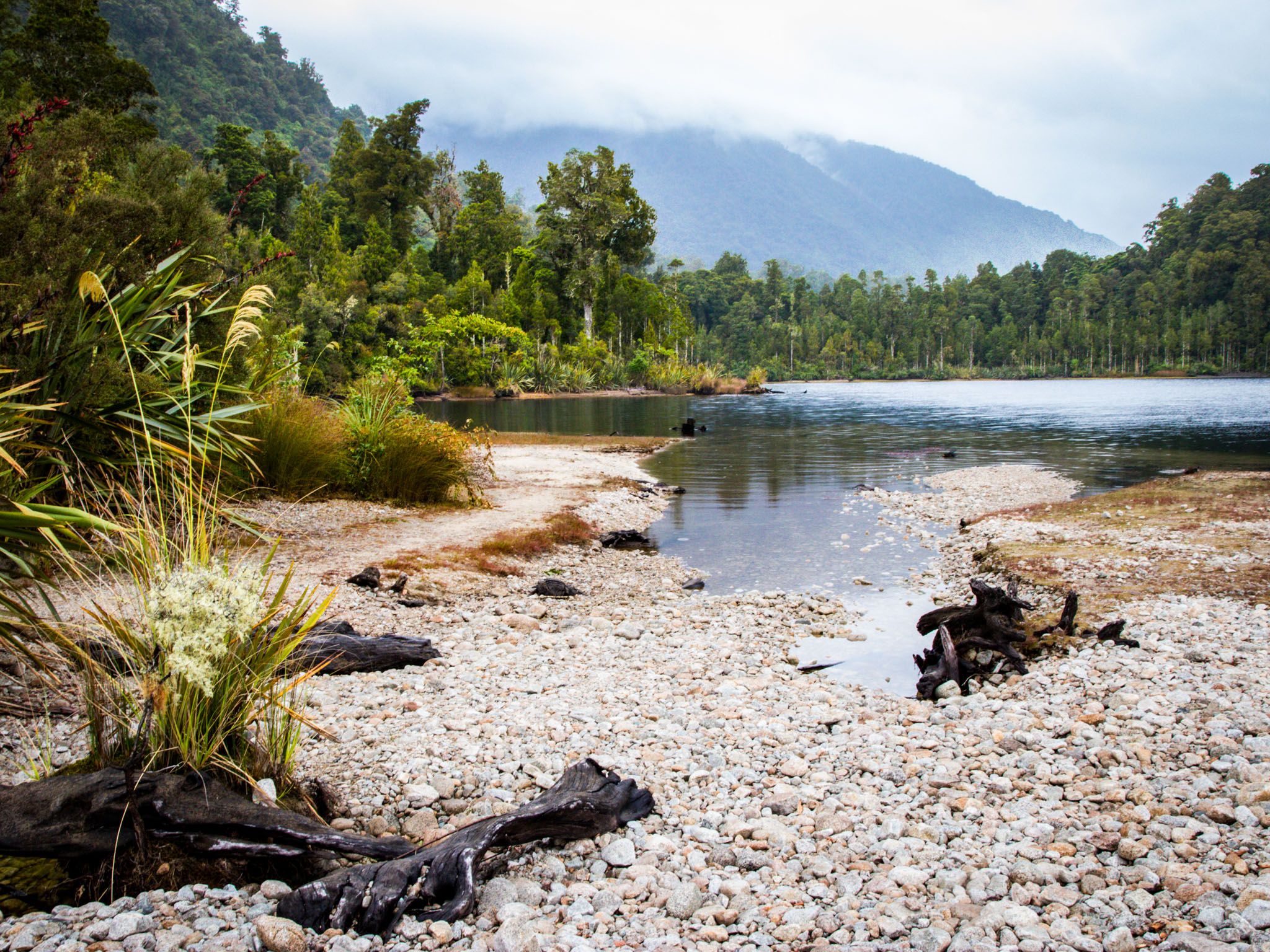
Heading south on gravel Dorothy Falls Road, you will reach Dorothy Falls, about two-thirds of the way down the eastern side of the lake. Dorothy Falls tumbles over a rock ledge into a shaded plunge pool, just metres from the roadside. On the other side of the road is a short walking track that takes you through the forest to the lake edge, surrounded by big kahikatea trees. Further south on the road, you enter farmland, with the option of driving around the south end of the lake and heading back to Hokitika via Kokatahi.
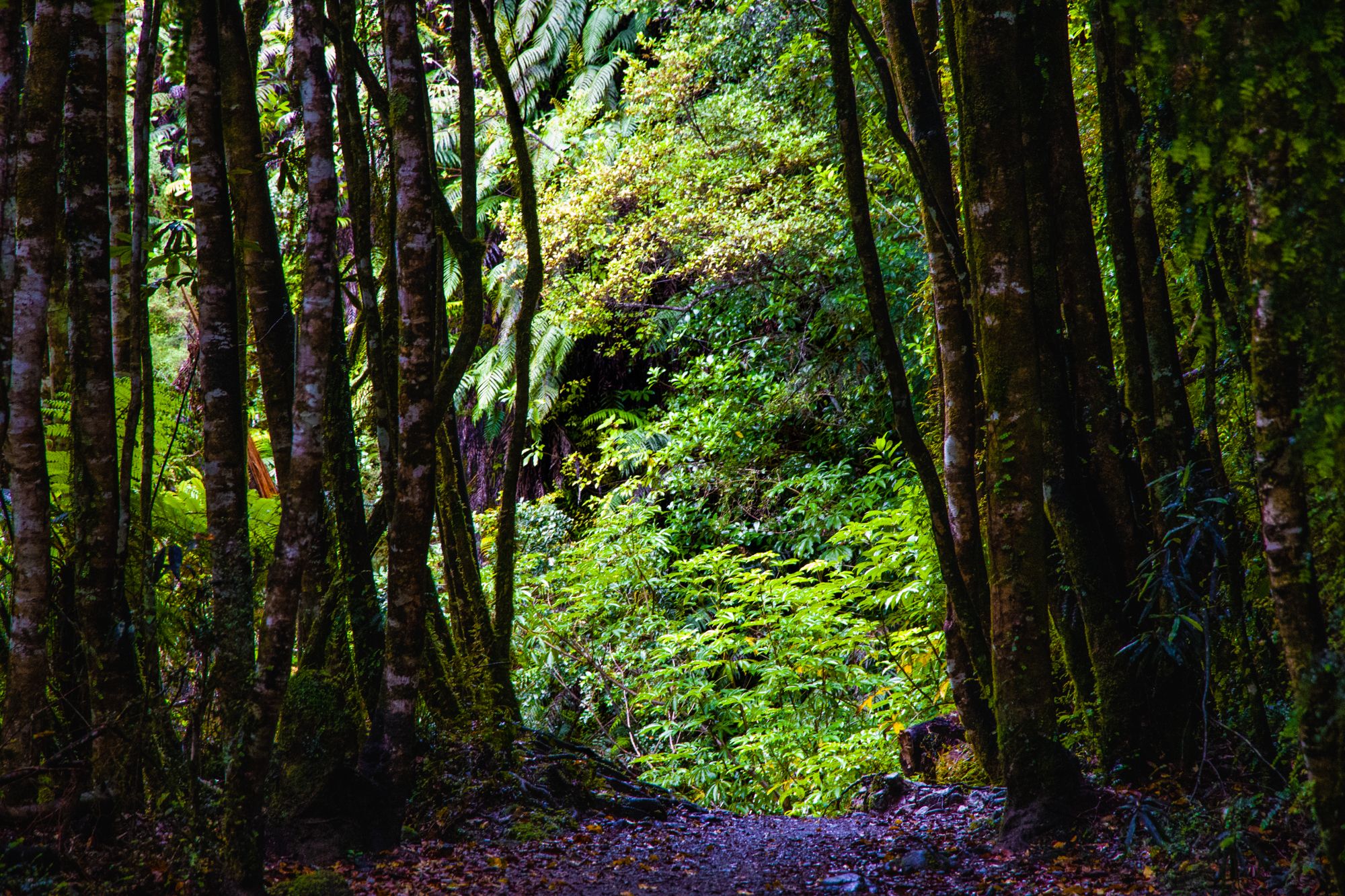
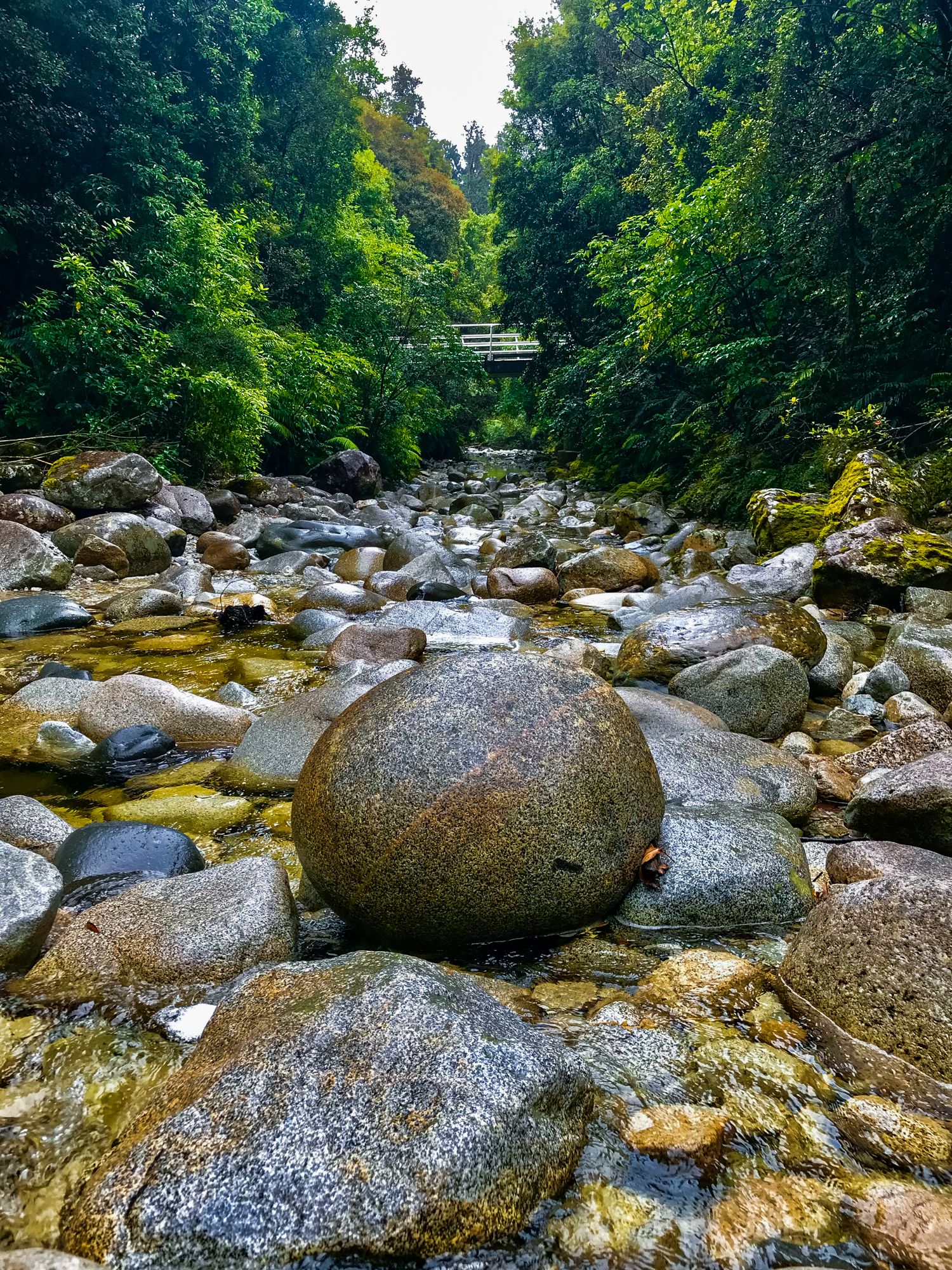
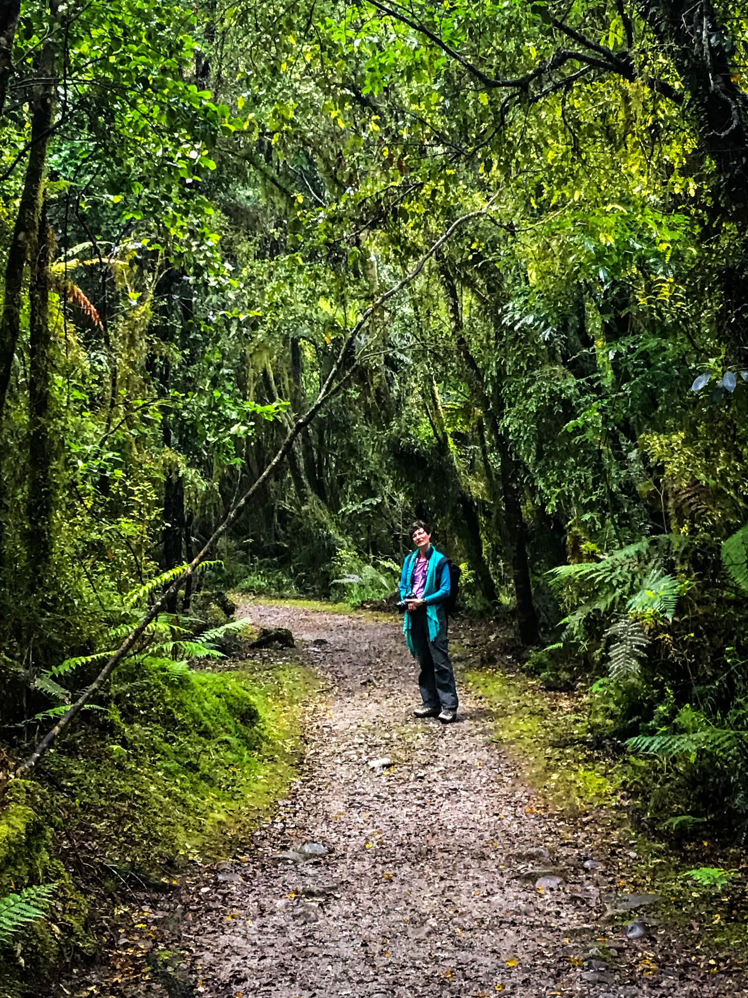
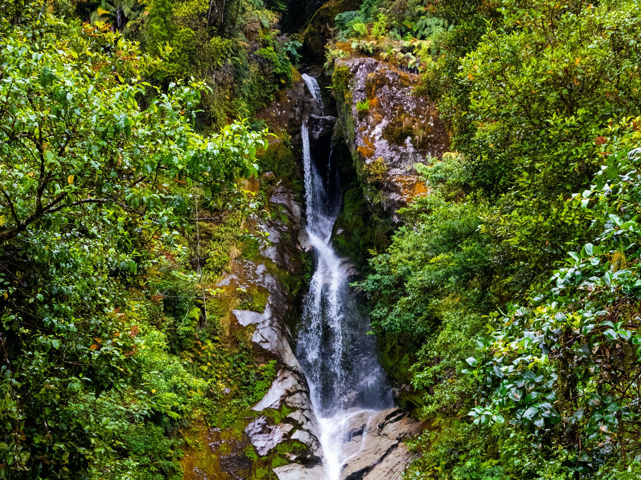
The west side of the lake is wilder and home to Lake Kaniere Walkway. The track follows the western shoreline for 10.1 km, taking around four hours one way. It winds through dense forest, past fern groves and lake inlets, with regular glimpses of the water through the trees. The track surface is generally good, though some sections can be muddy after rain. It’s open to both walkers and mountain bikers.
Stories and Place Names of Lake Kaniere
Lake Kaniere sits within the rohe of Ngāi Tahu, whose ancestors travelled through the area to access mahinga kai (food gathering sites) and pounamu sources in the Southern Alps. The name Kaniere is thought to refer to the action of sawing, possibly related to traditional stone-working practices or canoe-building using tōtara from the surrounding forests.
The name Dorothy Falls dates from European surveying in the early 20th century, though the origins of the name itself are unclear. The area was also logged in the past, and remnants of early timber operations remain scattered near the eastern tracks.
How to Get There
From Hokitika, take Kaniere Road southeast out of town, following the Hokitika River. The road swings away from the river and becomes Lake Kaniere Road. It enters the forest and continues to the north end of the lake, where it briefly becomes Hans Bay Road, then Dorothy Falls Road as it runs south along the lake. The drive is about 30 minutes and 24 km. Add a few minutes to reach Dorothy Falls.
Other places to visit around the region include the spectacular Hokitika Gorge, the Lake Mahinapua Scenic Reserve and the historic towns of Kumara and Ross.