Exploring the Catlins River and Lake
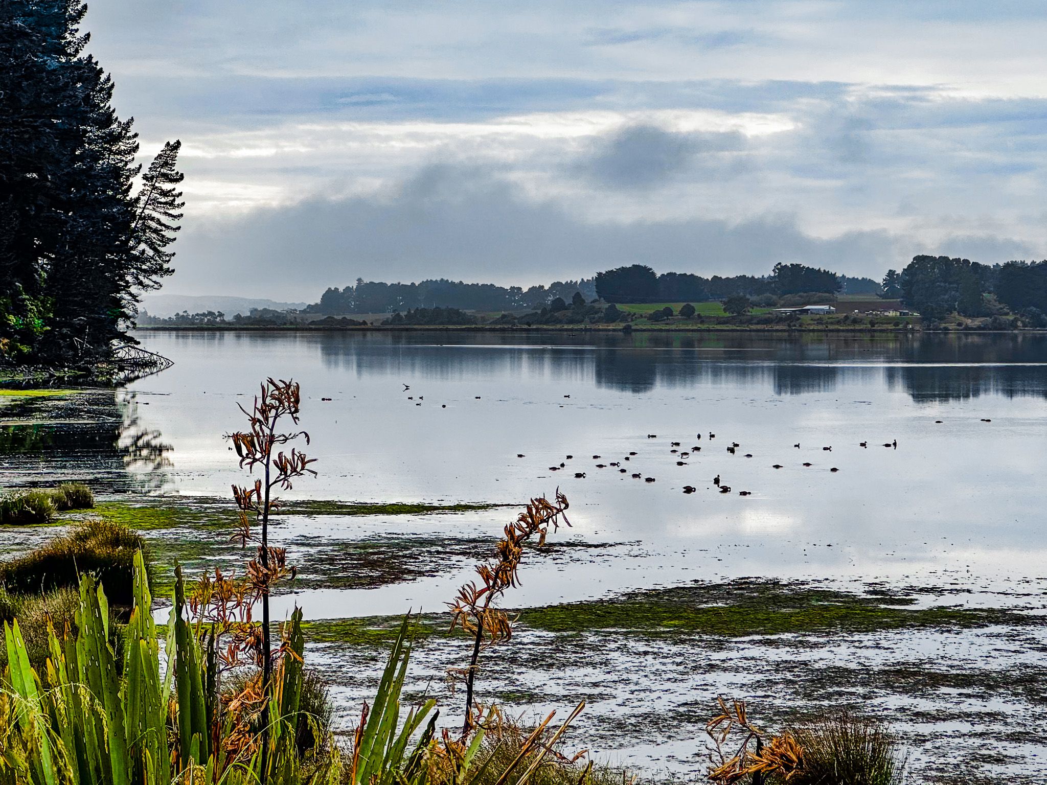
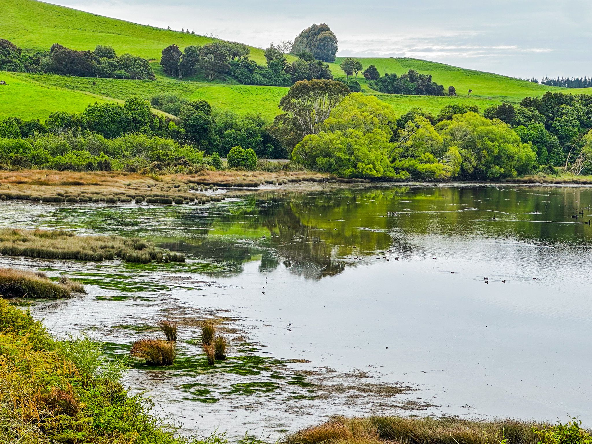
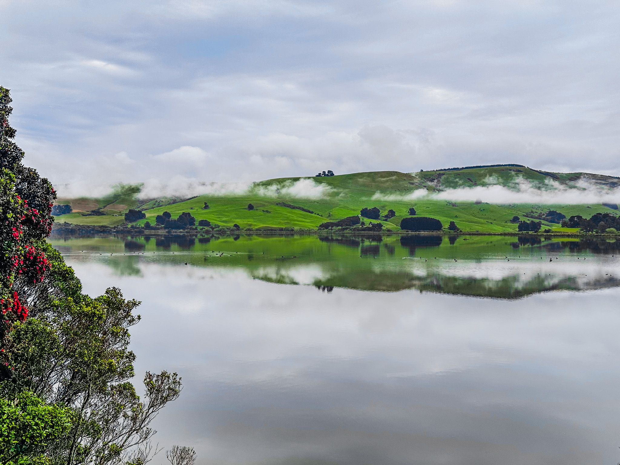
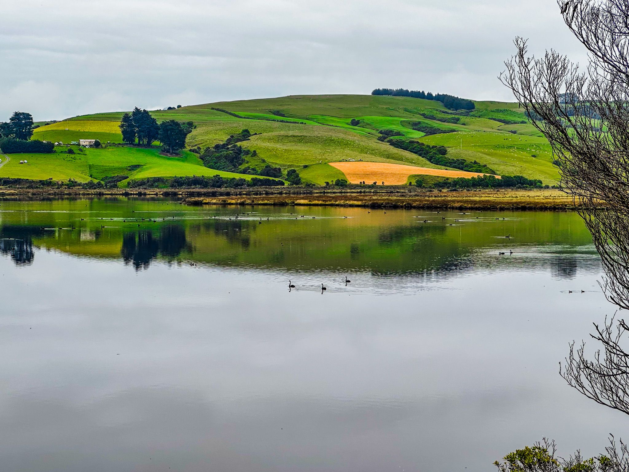
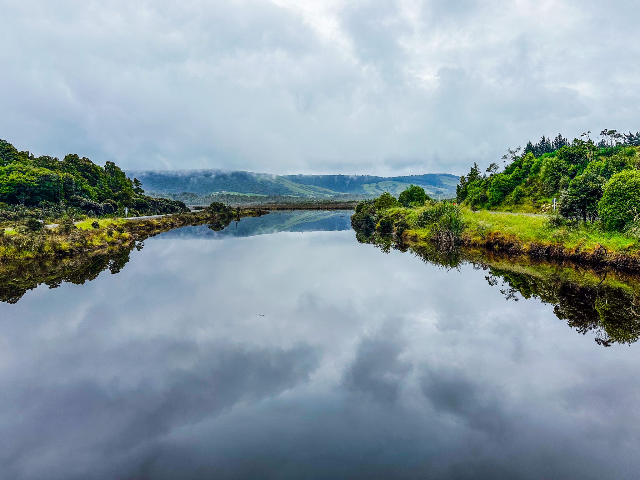
The Catlins River, located in the southeastern part of New Zealand, flows for 42 km before reaching the Pacific Ocean. This river, along with the Owaka River, converges at Pounawea in the lower estuary. About 2 km from this point and 6 km from the ocean lies the Catlins Lake, a tidal upper estuary. Spanning nearly 2 km at its widest and stretching 4 km long, the lake is a significant habitat for wading birds.
Scenic Views and Activities
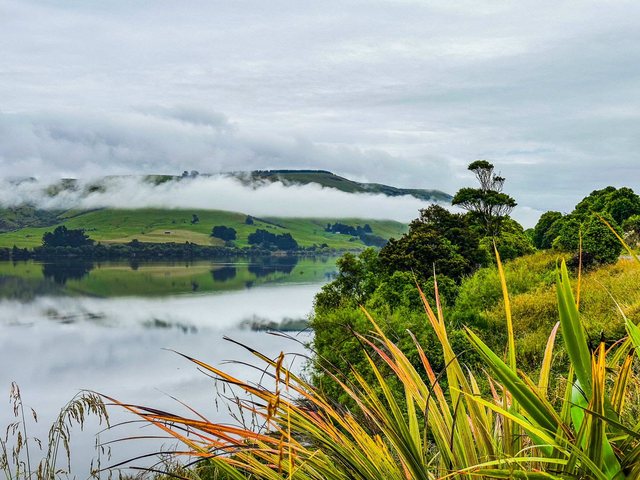
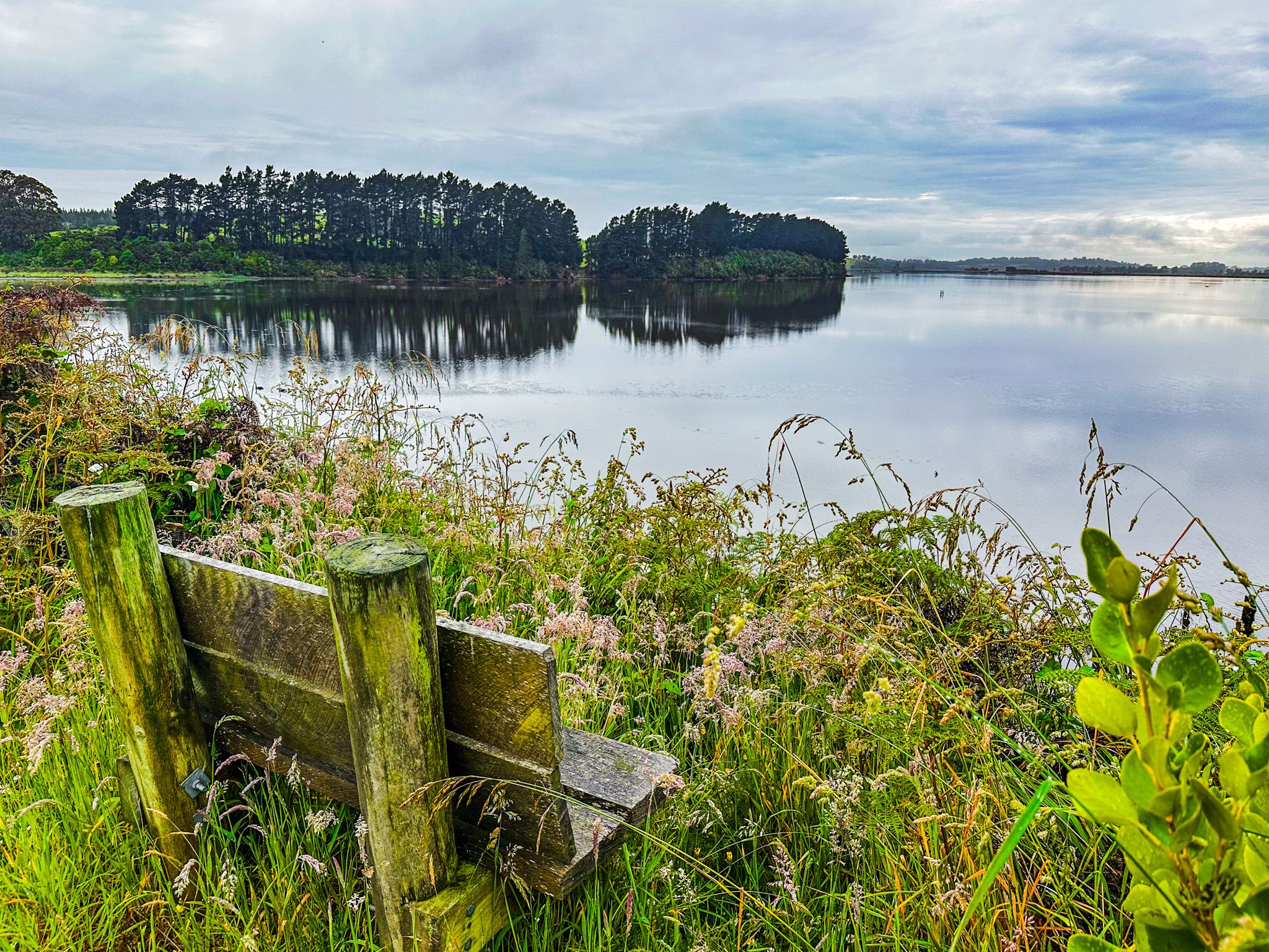
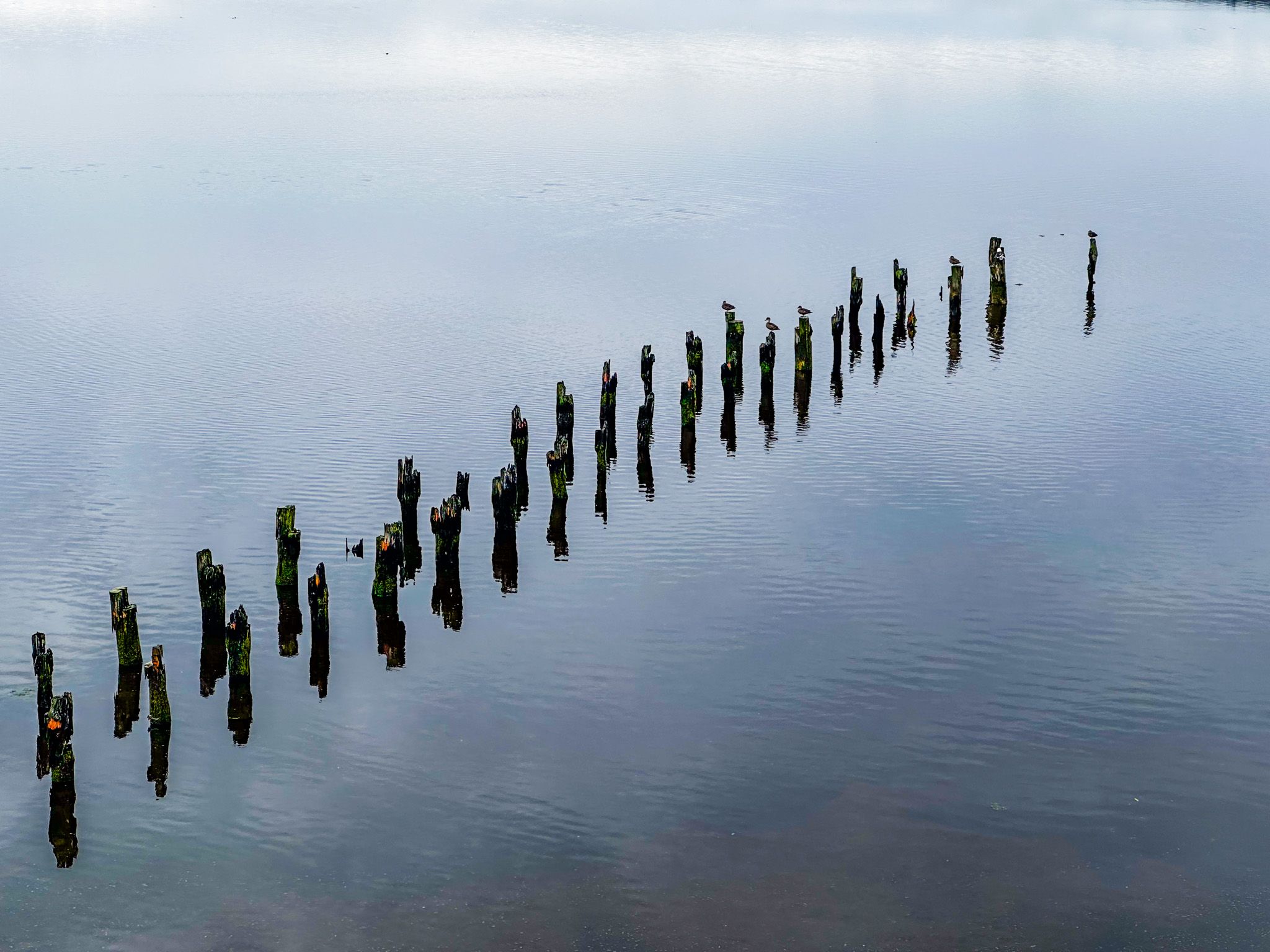
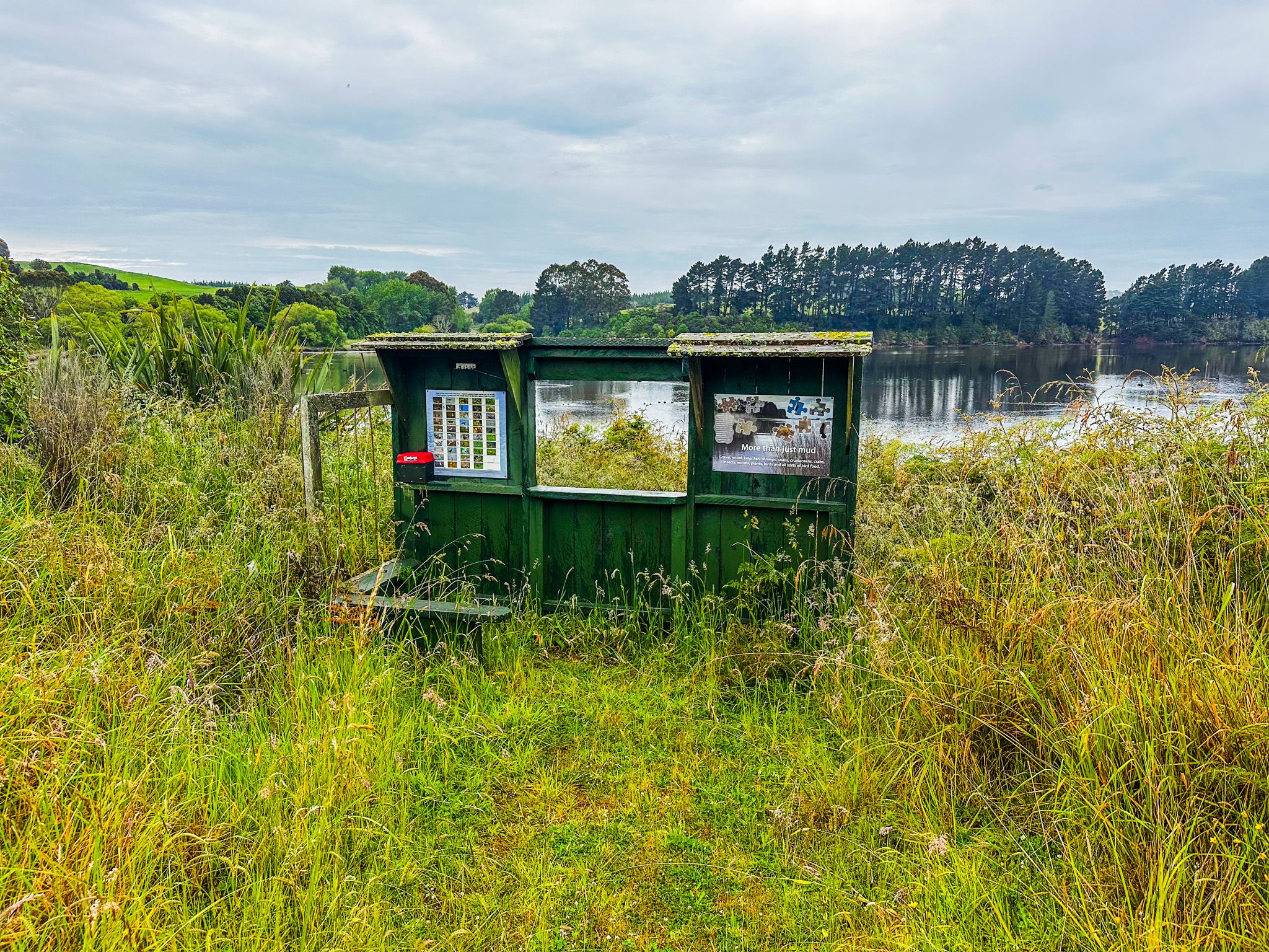
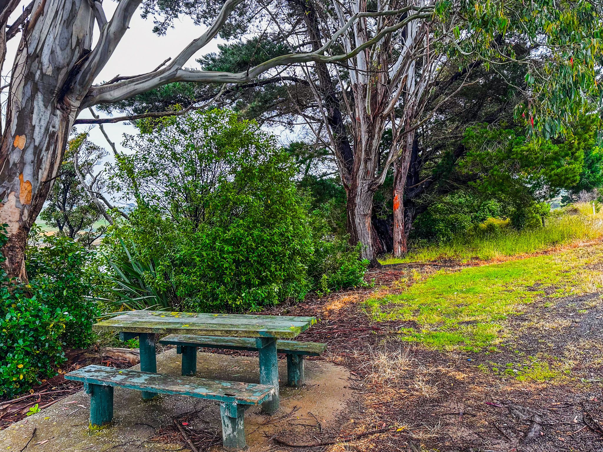
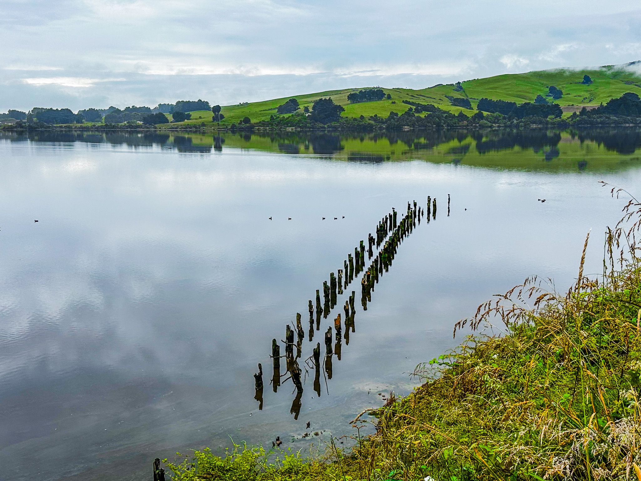
The Southern Scenic Route runs along the north side of Catlins Lake, approximately 2.5 km southwest of Owaka. After 400 metres, you will find a viewpoint offering stunning views across the lake. This spot is particularly beautiful early in the day at high tide when the waters are calm. Nearby, you can enjoy a walk along the lake's edge, where picnic tables and a bird hide are available. The remnants of an old wharf can also be seen below the viewpoint.
Exploring Further Afield
Continuing southwest on the highway, you will cross a bridge over the Catlins River. From here, you can choose to follow the Southern Scenic Route towards Tahakopa Bay and Papatowai or take Pūrākaunui Falls Road. This road leads to the picturesque Pūrākaunui Falls or along Lakeside Road, which skirts the southeast side of the lake. Lakeside Road is ideal for fishing and connects with Hinahina Road, leading to Jacks Bay and Blowhole or back to Owaka.
Cultural Significance
Pounawea is believed to be the Māori name for Catlins Lake, translating to "the meeting place of the waters." This name reflects the confluence of the Catlins and Owaka Rivers at nearby Pounawea.
Getting There
To reach the Catlins Lake, take the Southern Scenic Route to the north side of the lake, located about 2.5 km southwest of Owaka. The route provides easy access to the lake's viewpoint and other attractions.
The nearby Catlins River Walk in the Catlins Forest Park provides access to explore the river and forest.