Views from Bowenvale in the Port Hills
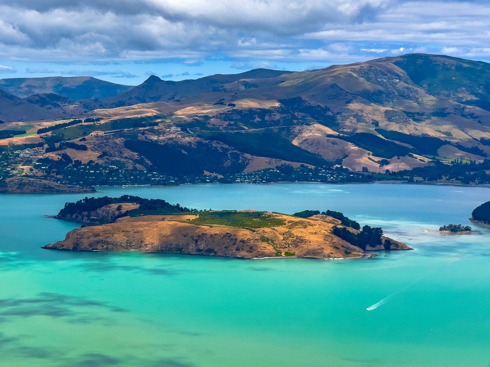
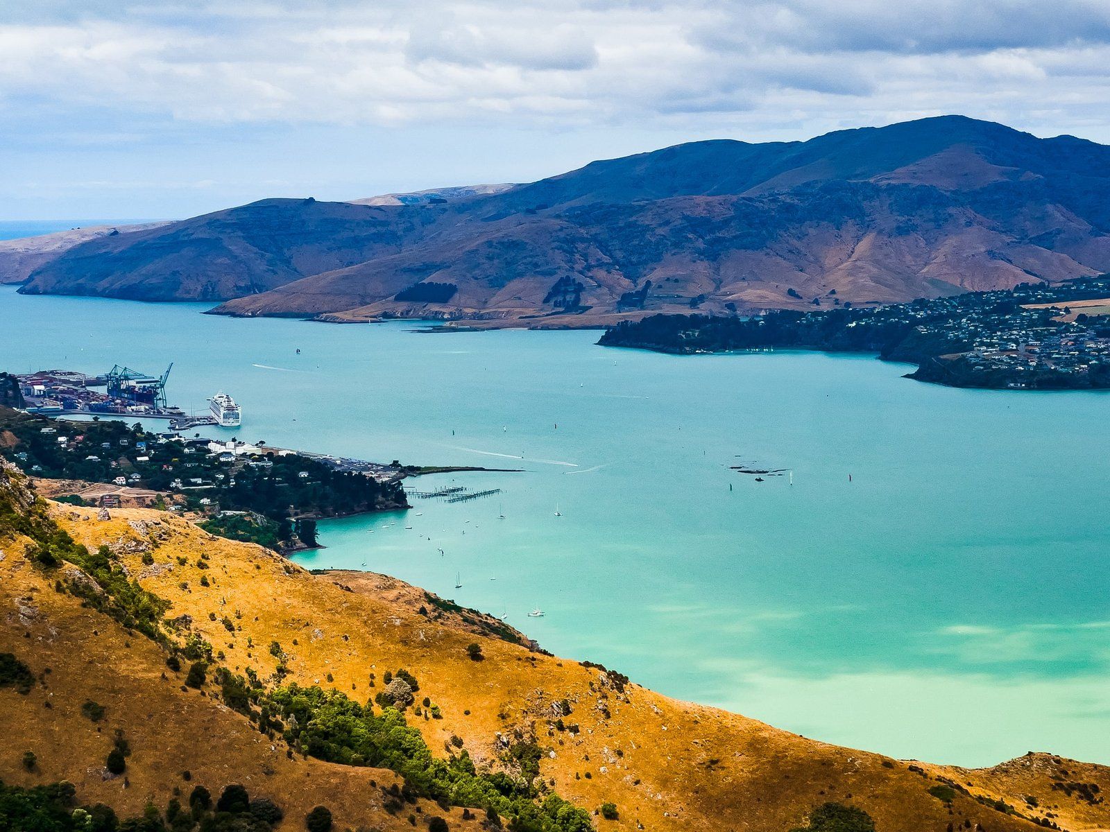
Bowenvale is one of numerous reserves on the Port Hills at the eastern end of Banks Peninsula in Christchurch / Ōtautahi that can be accessed from Summit Road. It sits over 400 metres above Lyttelton and its harbour, with breathtaking views and links to several wonderful walking and cycling tracks.
Discovering Bowenvale
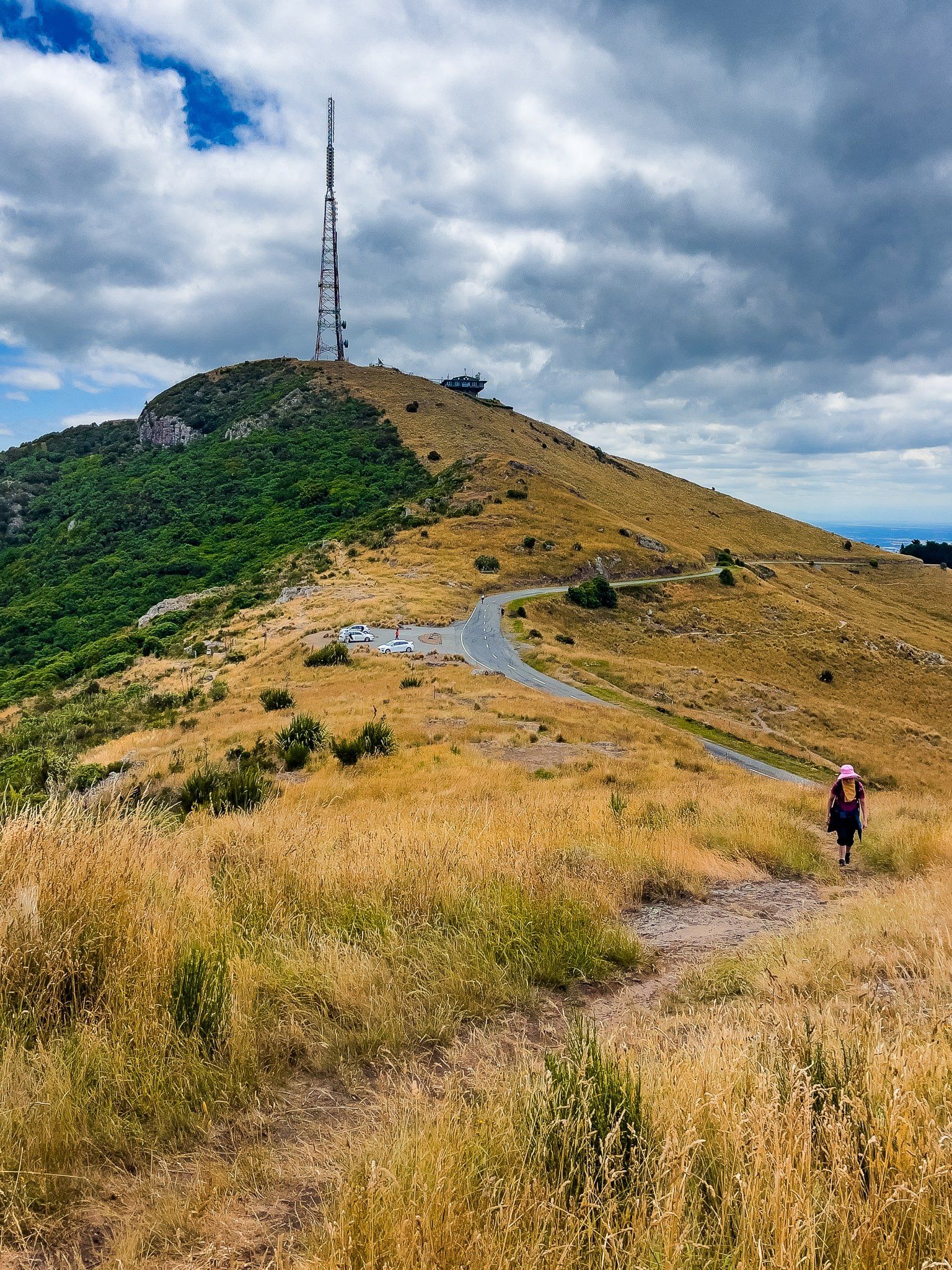
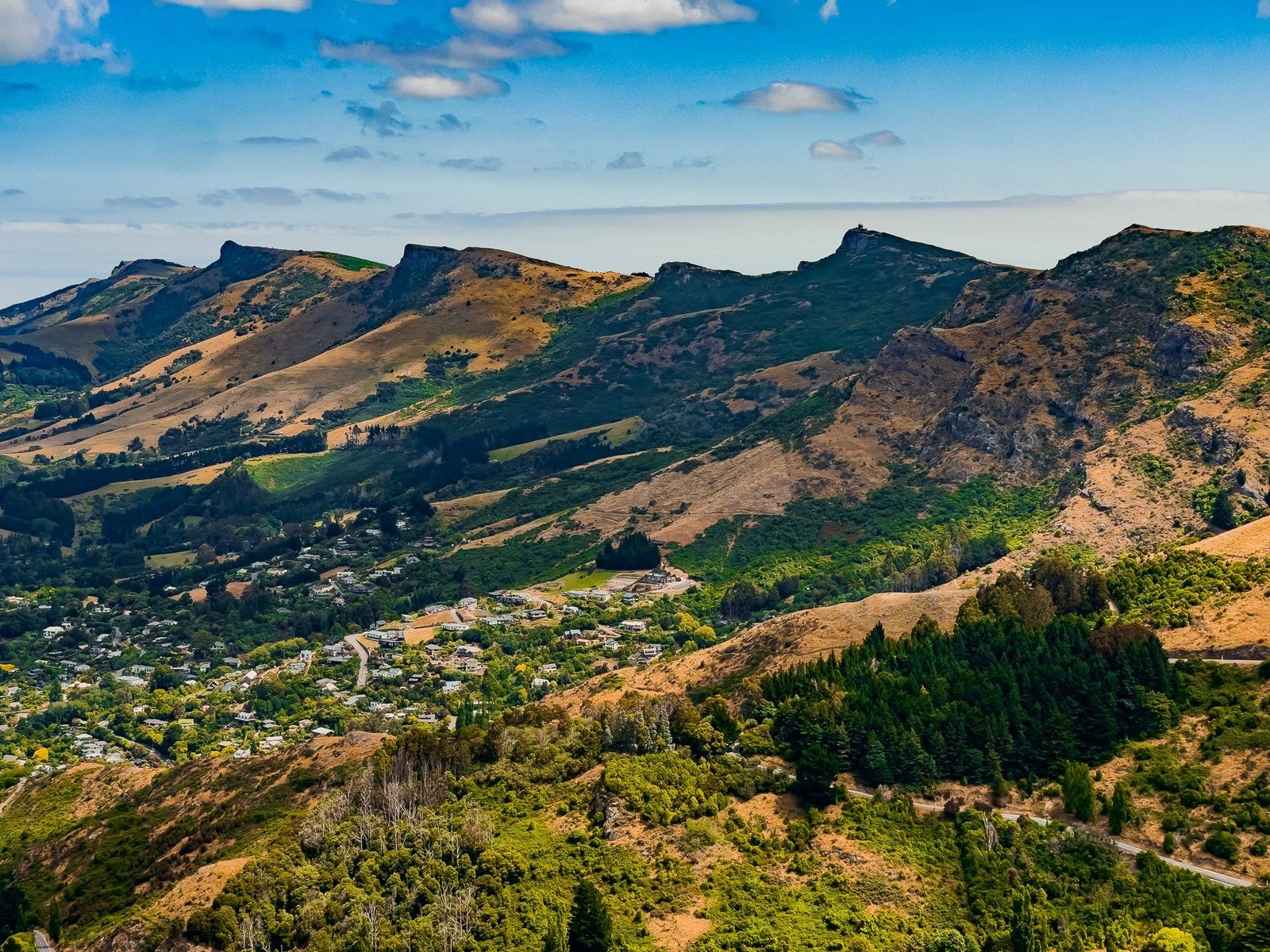
From Sign of the Kiwi, take Summit Road east along the Lyttelton crater rim. One of the first stops is the Bowenvale car park, situated above the Thomson Scenic Reserve and north of Te Heru o Kahukura / Sugarloaf. This prominent peak is notable for its large transmitting tower.
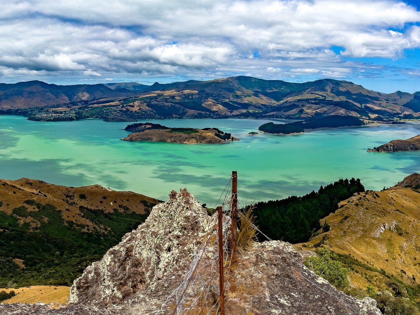
Scenic Views and Rocky Outcrops
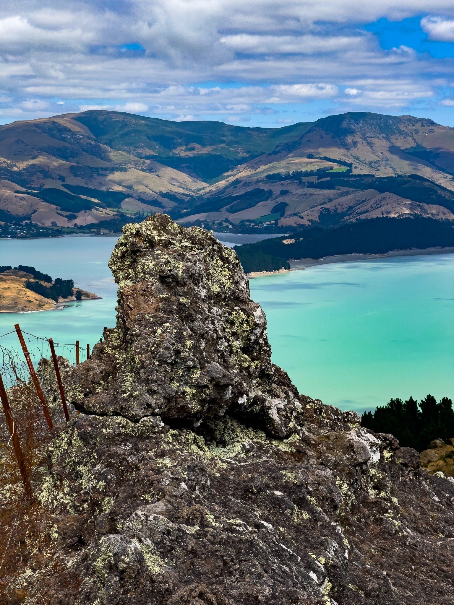
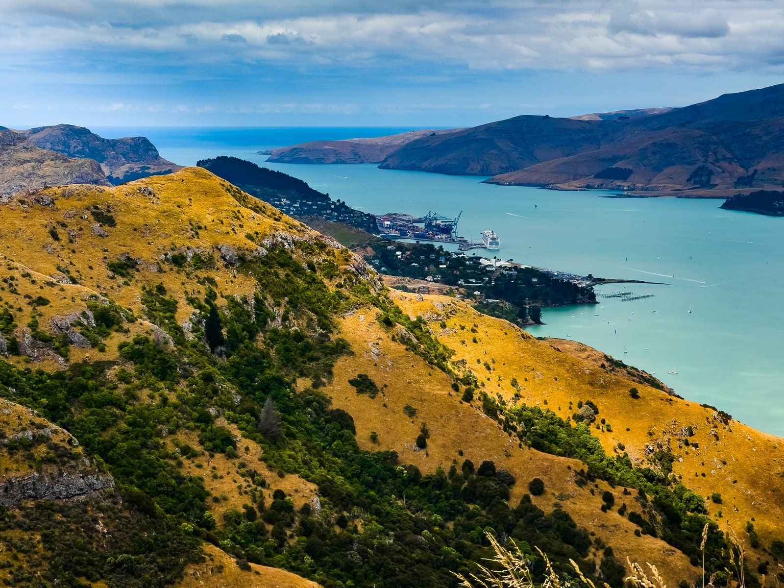
The informal track from the car park leads to a rocky point, possibly Taukahara on Topo Map NZ. This spot offers superb cliff-edge views and features a distinctive "head" formed by one of the rocky outcrops. The scenery here is captivating, providing a unique perspective of the surrounding landscape.
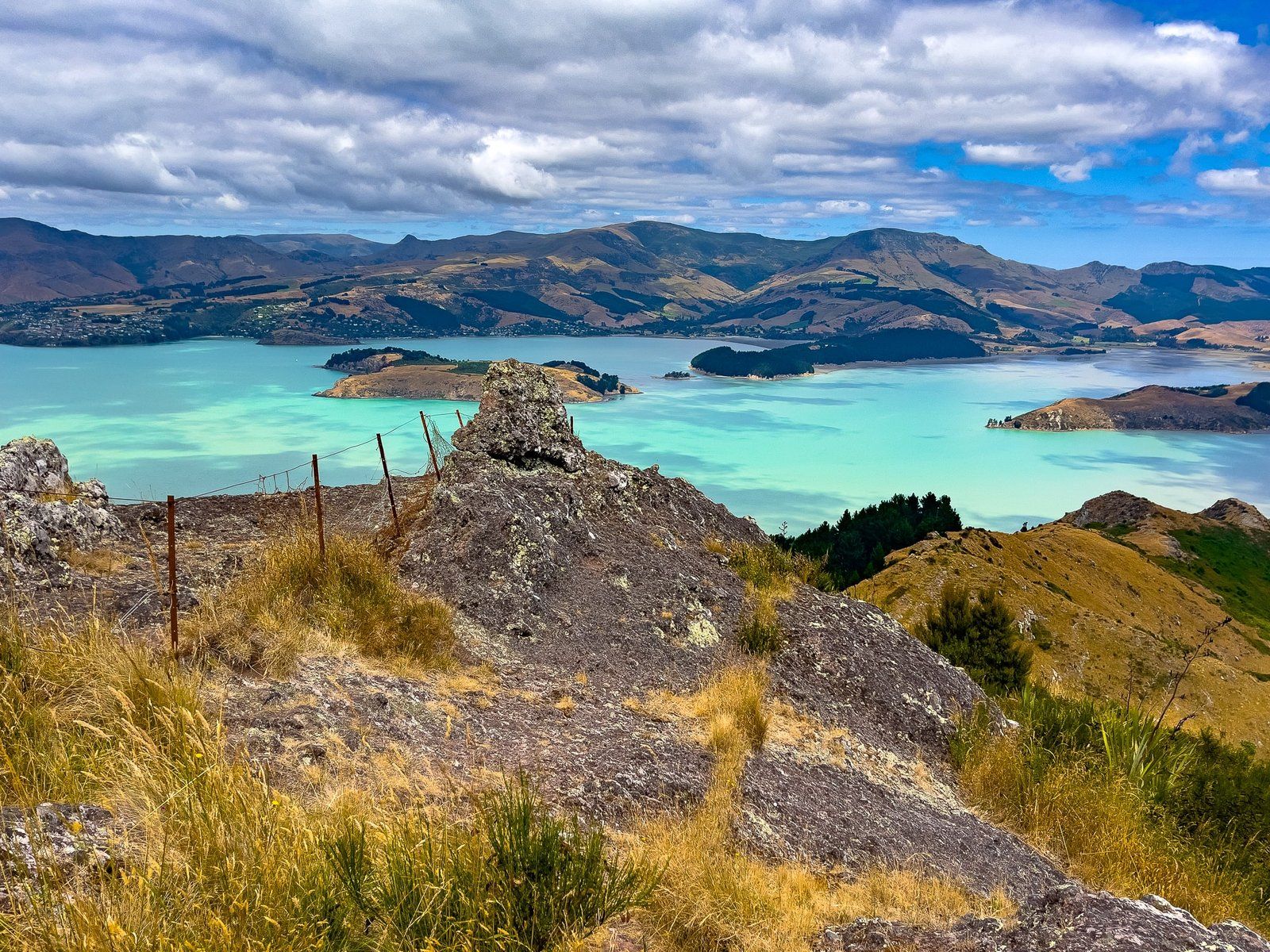
From here, you can choose to follow the road, or the main track south along the side of Sugarloaf, or explore an informal track heading north and then east.
How to Get There
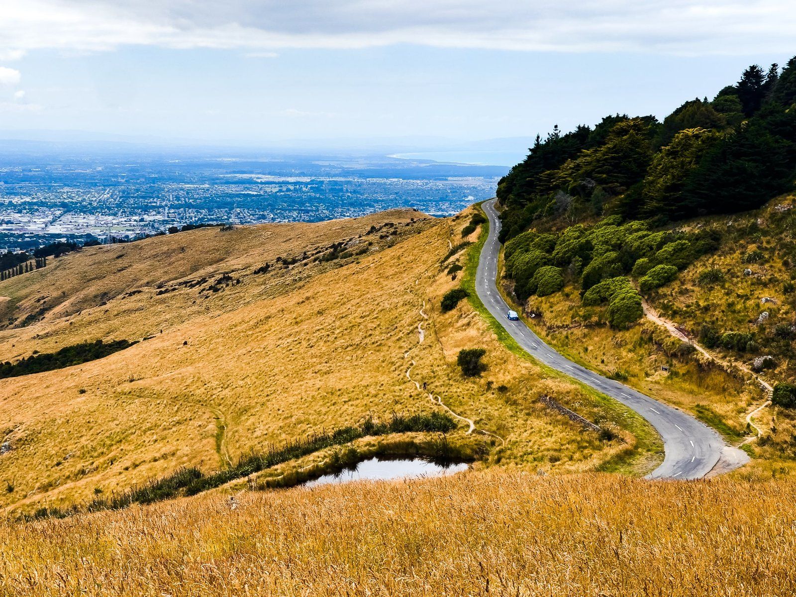
To reach the Port Hills and Summit Road from Christchurch, take Dyers Pass Road to Sign of the Kiwi, then turn east onto Summit Road.
Nearby attractions include the cafe at Sign of the Kiwi and various viewpoints and tracks around the Port Hills. These include the wonderfully named Te Upoko-o-Kurī / Witch Hill, further to the east and Governors Bay on the edge of the harbour at the bottom of Dyer Pass Road.