Discover Achilles Point in Auckland
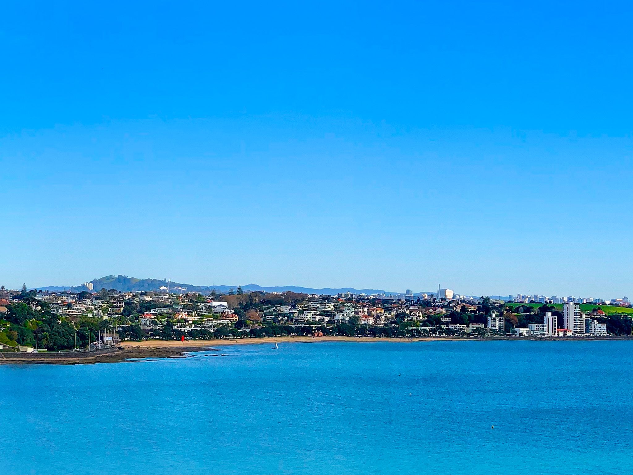
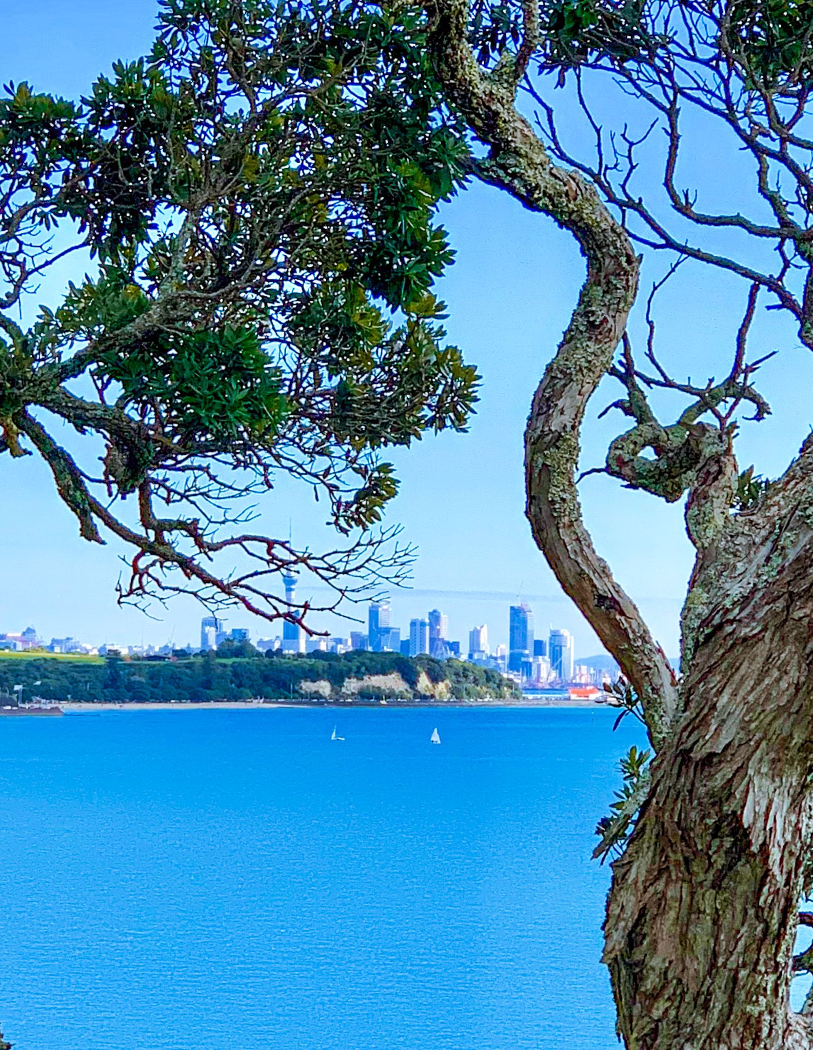
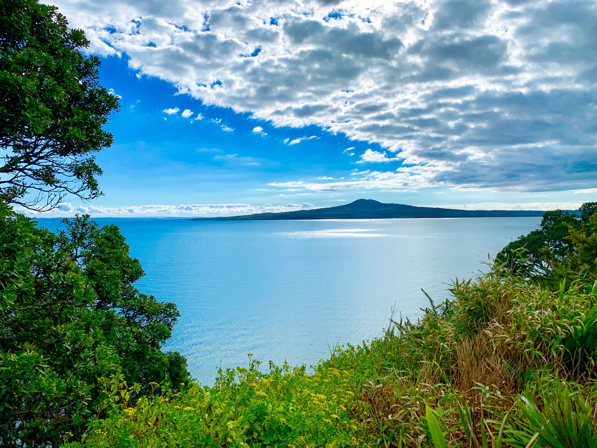
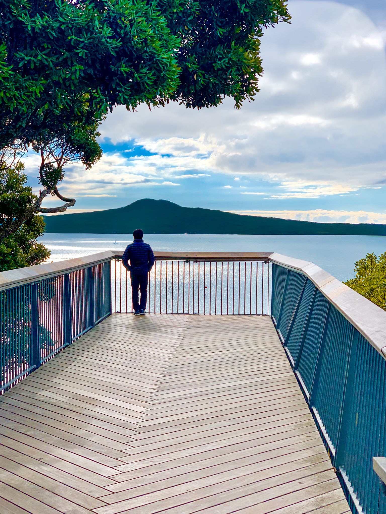
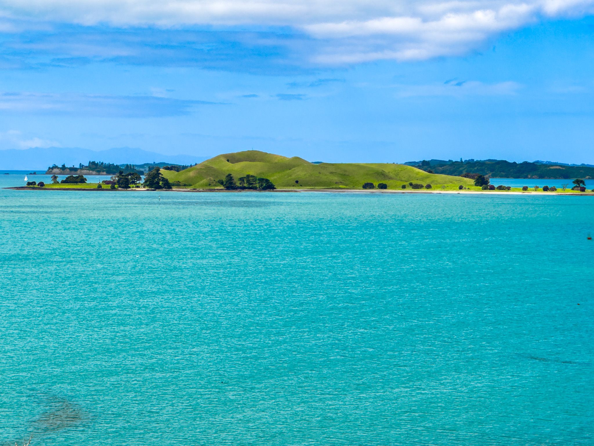
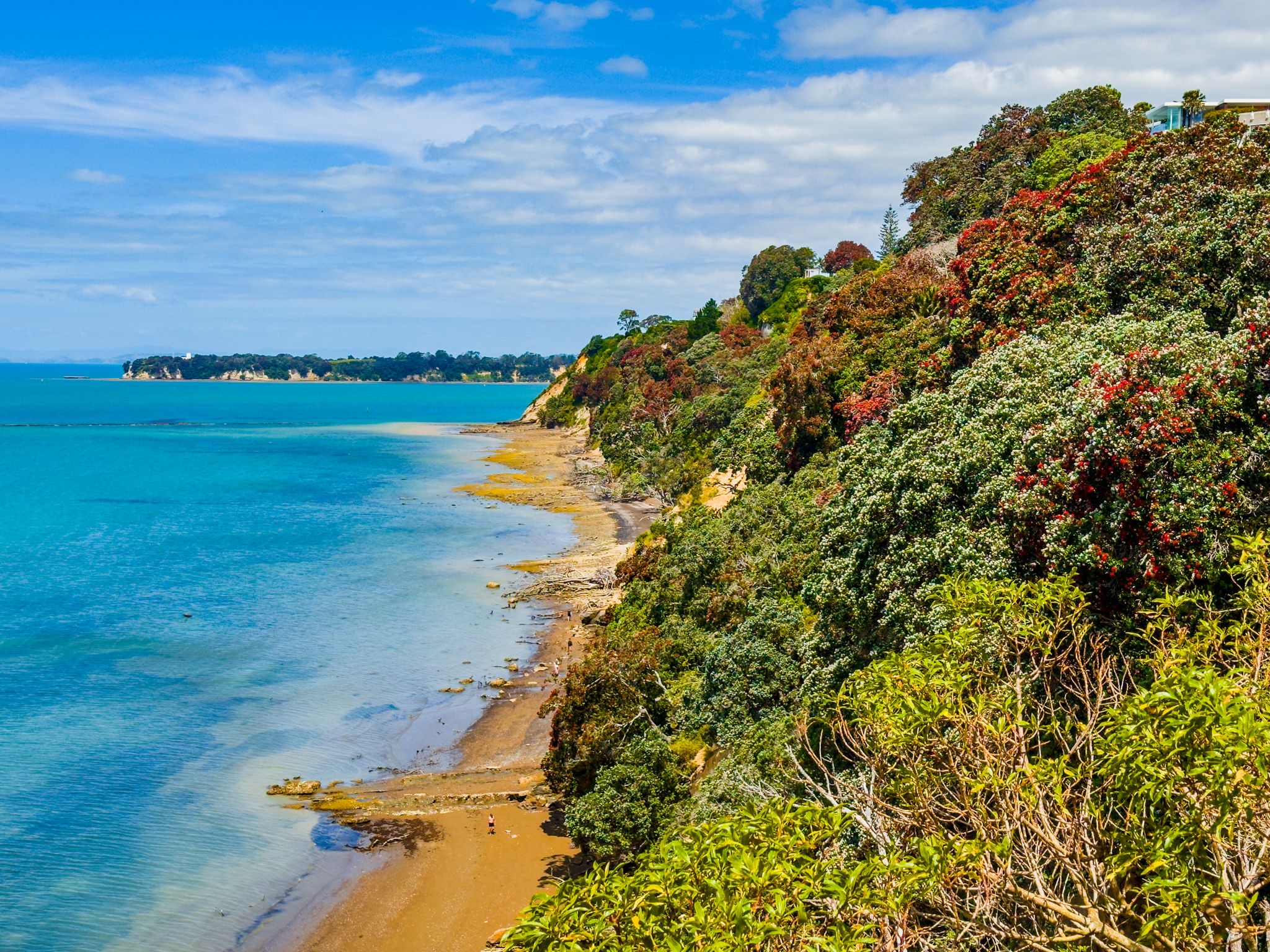
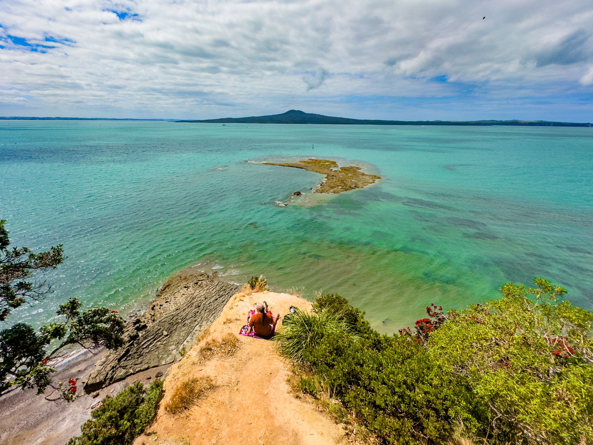
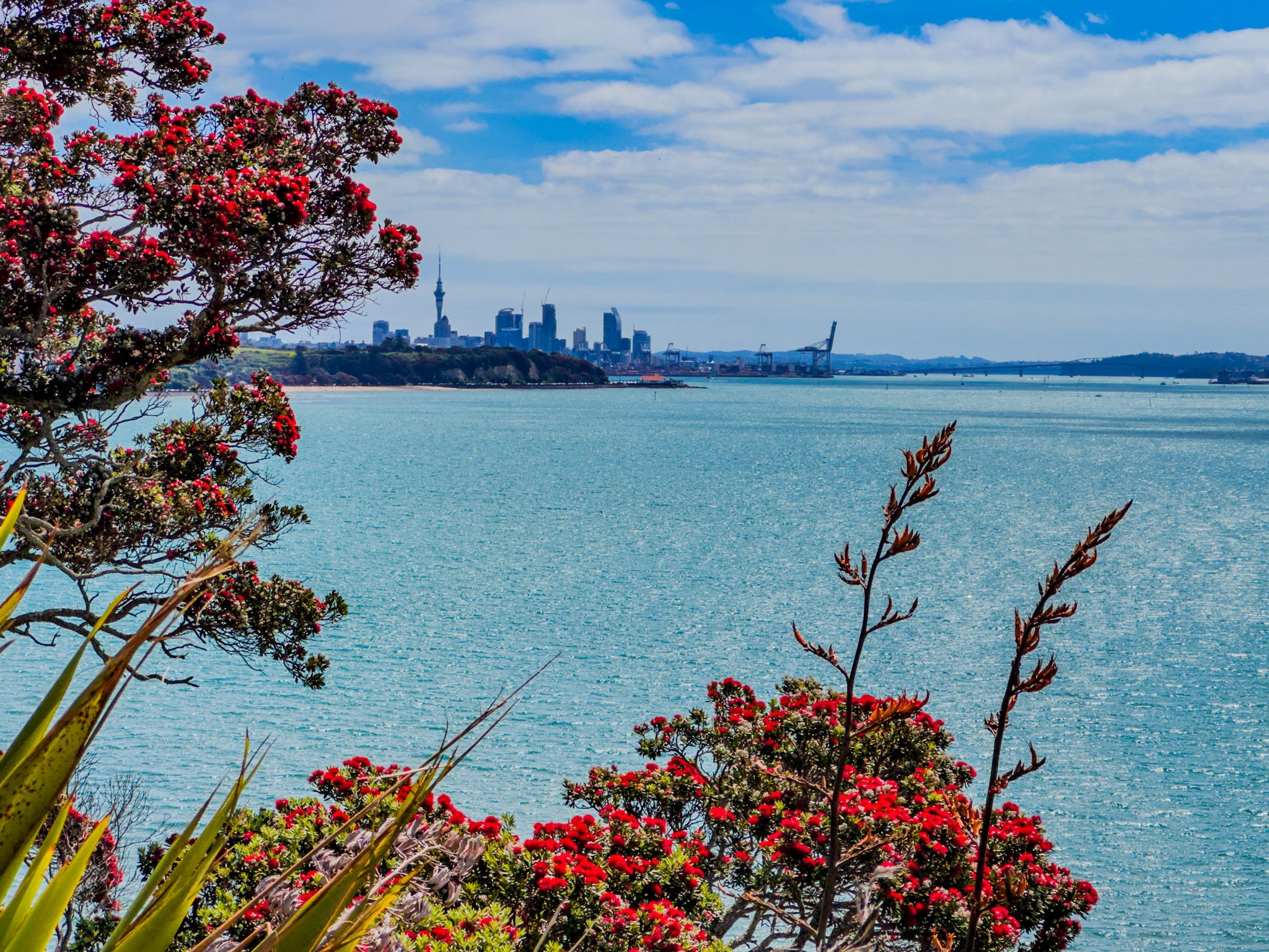
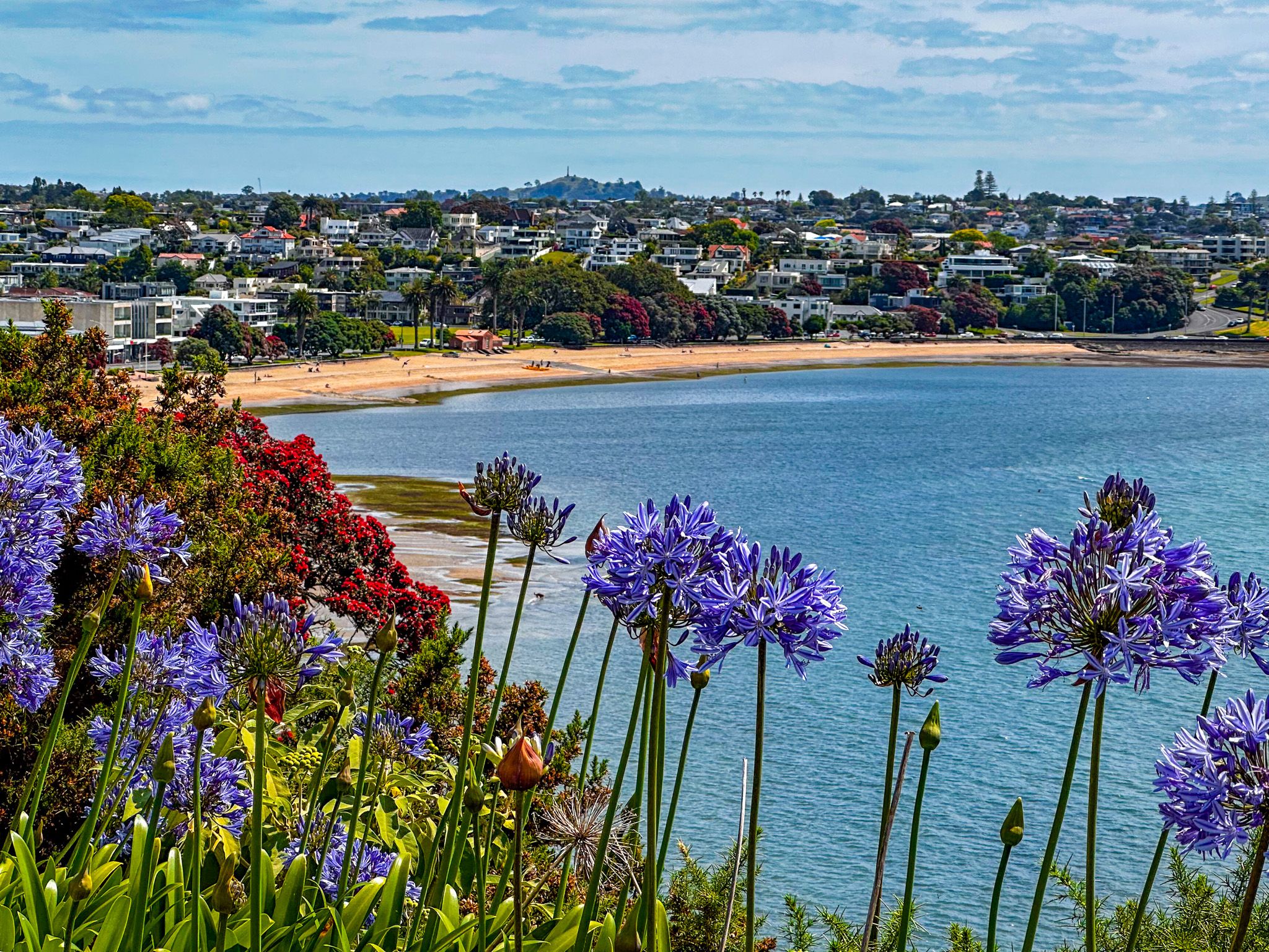
Achilles Point is a striking headland and rocky promontory located east of Saint Heliers in Auckland. Known for its high cliffs, it offers stunning views over Ladies Bay towards the Waitematā Harbour and northeast over Gentlemens Bay and Browns Island / Motukorea to Waiheke Island. The exceptional vistas of Rangitoto Island to the north make it a must-visit spot for scenic enthusiasts.
Exploring the Area
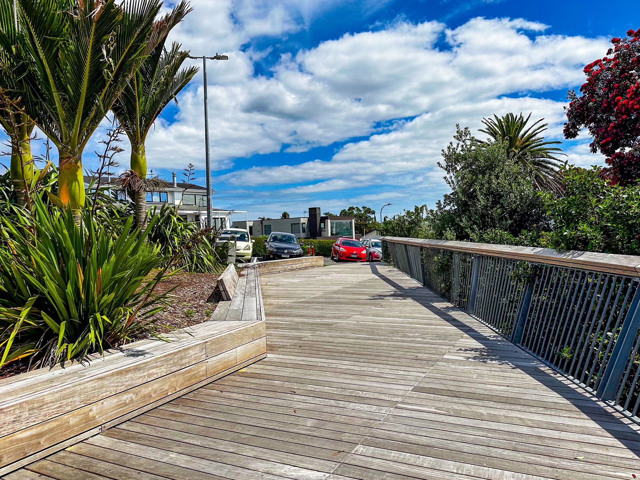
A short 10-minute walk from Saint Heliers, along the path on Cliff Road from the end of Tāmaki Drive, leads to Achilles Point. For those driving, there are a few car parks available next to the viewing platform at the top of the point.
From this vantage point, you can descend stairs to Ladies Bay, a nudist beach, and continue around the rocky point to Gentlemens Bay, which is also frequented by nudists. At low tide, it is possible to walk easily to Karaka Bay, located at the mouth of the Tāmaki River and opposite Musik Point / Te Naupata.
Historical Significance
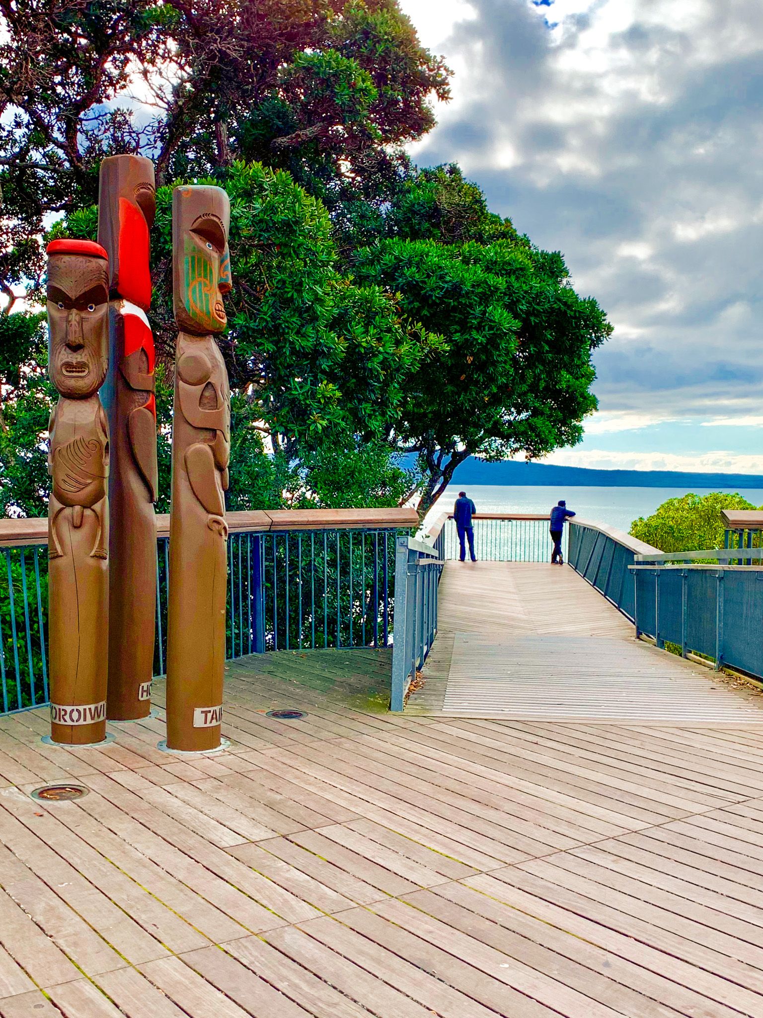
Originally known by its pre-European Māori name, Te Pane o Horoiwi (the Head of Horoiwi), the area was renamed Achilles Point in 1940. This was in honour of the New Zealand cruiser HMS Achilles and her crew.
In December 1939, HMS Achilles, alongside two other Royal Navy ships, engaged the German cruiser Admiral Graf Spee in the South Atlantic. This encounter, known as the Battle of the River Plate, marked New Zealand's first action in World War II and its first-ever naval battle. The Graf Spee was damaged to the extent that its captain chose to scuttle the ship rather than face capture.
How to Get There
To reach Achilles Point, start from Saint Heliers and follow the path on Cliff Road from the end of Tāmaki Drive. The walk takes approximately 10 minutes. For those driving, parking is available near the viewing platform at the top of the point.
Nearby, you can also visit St Heliers, Kohimarama, Mission Bay and Bastion Point, back along Tamaki Drive towards Downtown Auckland.