
Taking a loop route is generally more interesting than simply going there and back along the same path. But some loops are more obscure than others, and this one, linking Taupō and Napier, is one of those.
Starting from Taupō, we took State Highway 5 to Napier, Hawke’s Bay. State Highway 5 is one of the more remote main highways in New Zealand, with two hours of the route winding through steep hills. The highway reaches around 700 metres elevation, can be affected by snow in the winter, and there are practically no services after Taupō until you near Napier. However, there are a couple of great places to stop, like Opepe Bush and Waipunga Falls.
On the return from Hawke’s Bay to Taupō, take Taihape Napier Road, starting at Fernhill and connecting with State Highway 1 south of Waiouru. Then go north up the Desert Rd (SH1) back to complete the loop to Taupō.
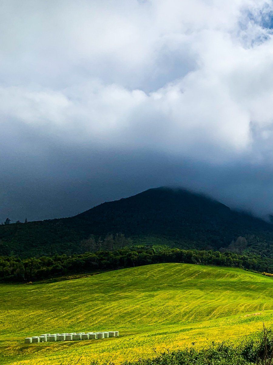
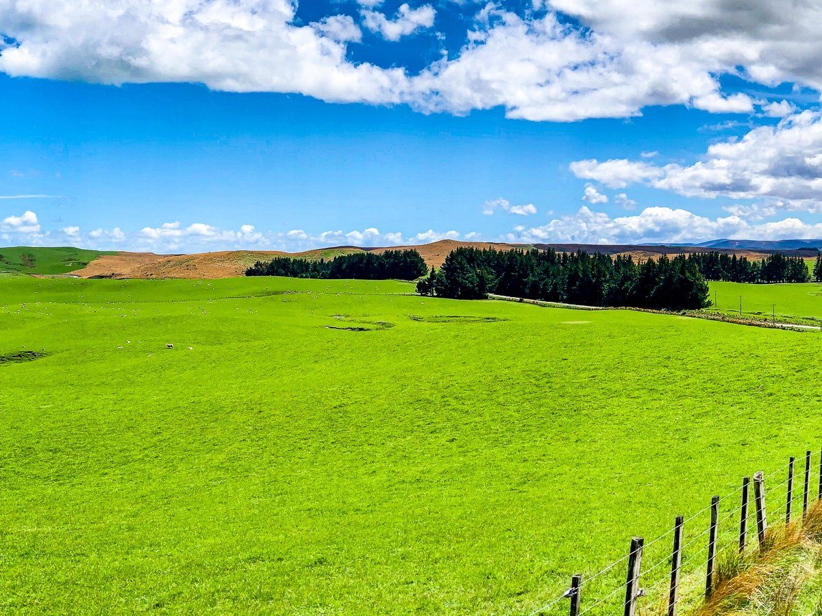
It’s hard to pick out the Taihape Napier Road on Google Maps as it’s treated as a minor road and winds through even more remote and mountainous countryside than SH5, but it’s a good quality sealed highway. Places to stop include the amazing Blowhard Bush Reserve and Kuripapango. The very high, farmed plateau on the west side of the mountains is also unusual – intensely green in spring despite being 800 metres above sea level.
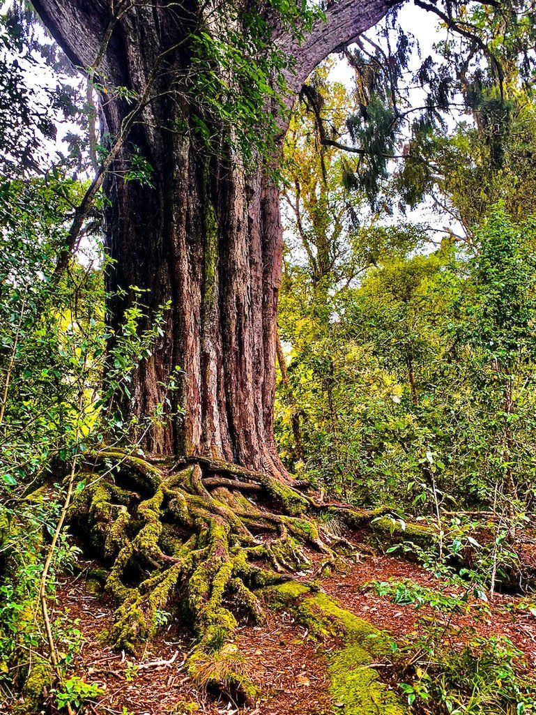
Opepe Bush
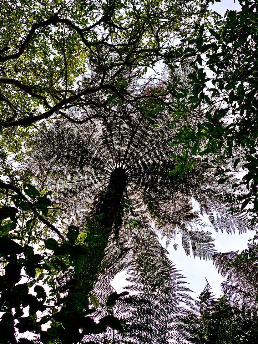
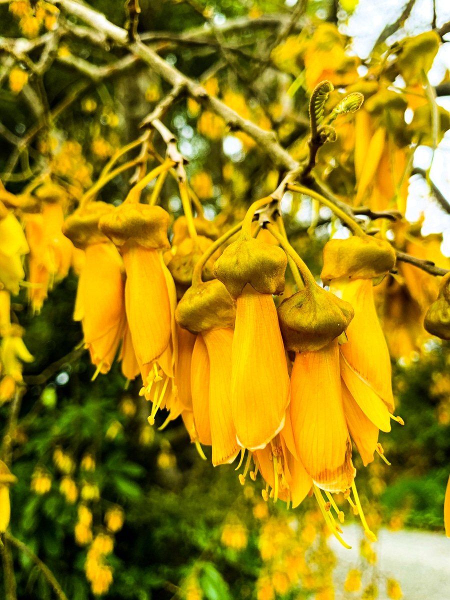
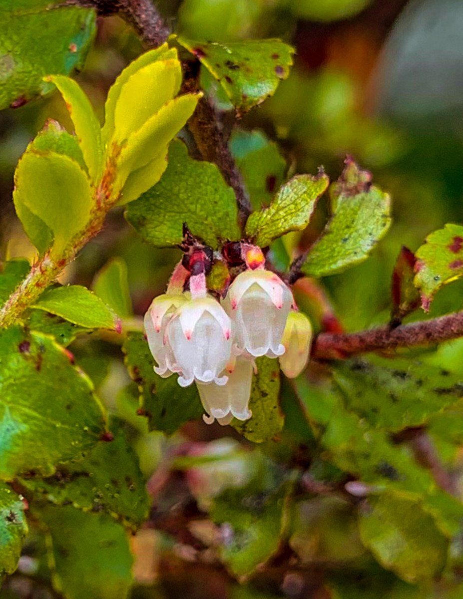
Opepe Bush is only about 20 kms along State Highway 5 from Taupō. It’s a beautiful reserve of native forest, and a historic site with connections to the New Zealand Wars. The ancient remnant forest is especially unusual as most of the original forest was wiped out by the 186 AD eruption of Taupō.
On the north side of the road there’s a 30 minute loop track which takes you through a beautiful section of mature native trees, filled with bird song.
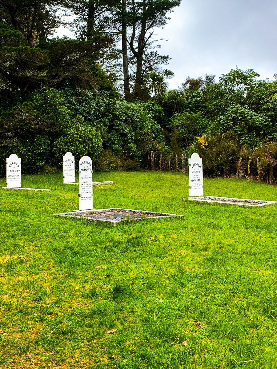
In 1869, colonial soldiers and Māori warriors led by Te Kooti also clashed at Opepe. The colonials lost this encounter and a side track takes you to the cemetery where nine soldiers were buried. There’s also a track on the south side of the road through the minor remnants of the Opepe settlement and regenerating bush.
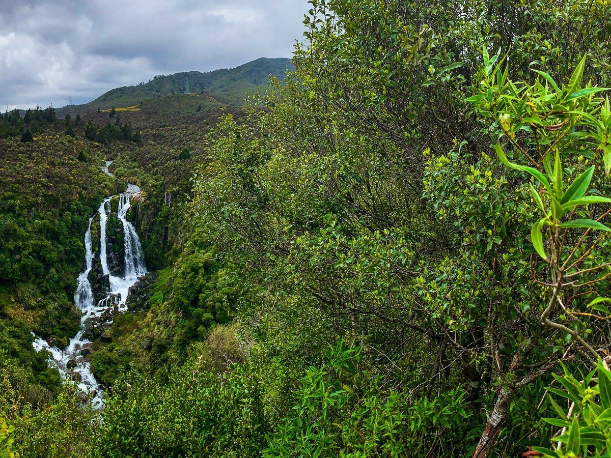
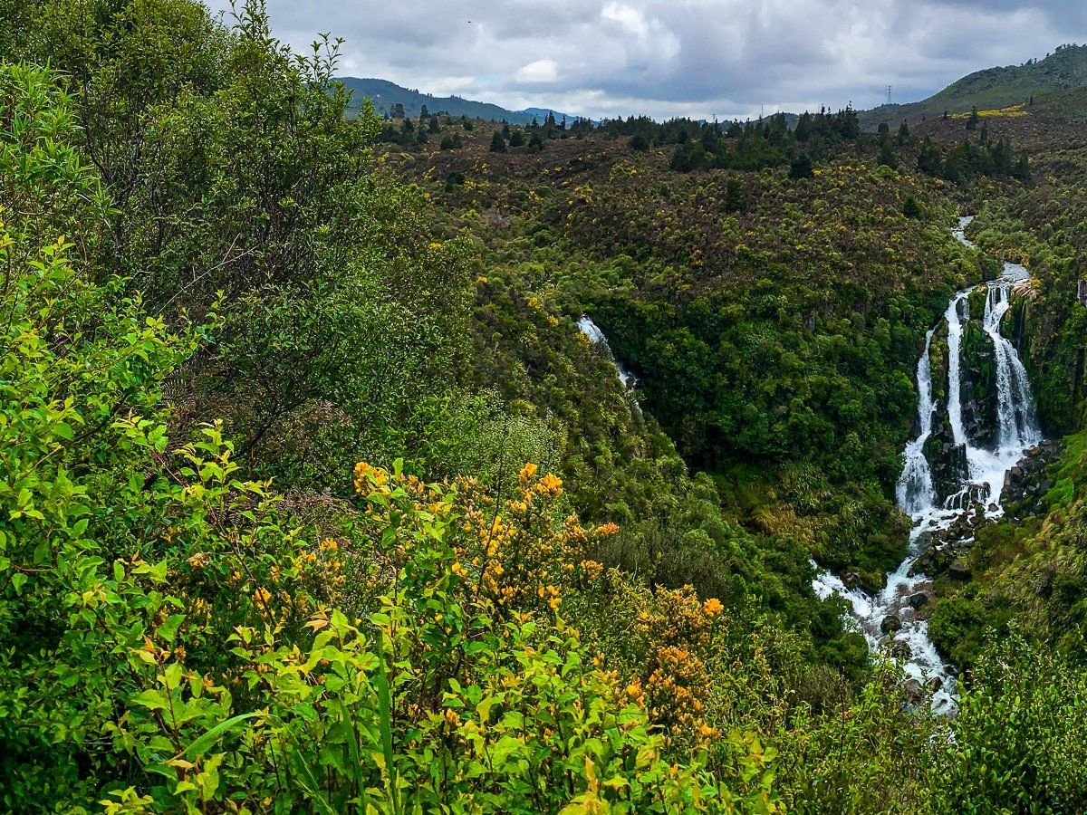
Waipunga Falls
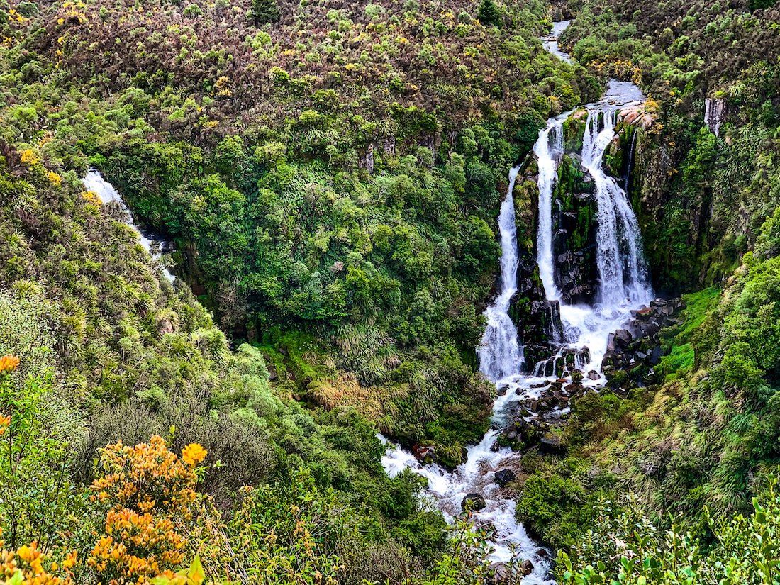
State Highway 5 then heads into the Kaingaroa Forest, which is a forest of exotic pine trees on a high plateau, before heading into the hills and mountain ranges that run from Wellington all the way to East Cape. Shortly after entering the hills, there’s a viewpoint for the Waipunga Falls. This must be one of the prettiest waterfalls in New Zealand, and there’s actually a second waterfall (Waiarua Falls) that you can only just see to the left of the Waipunga Falls.
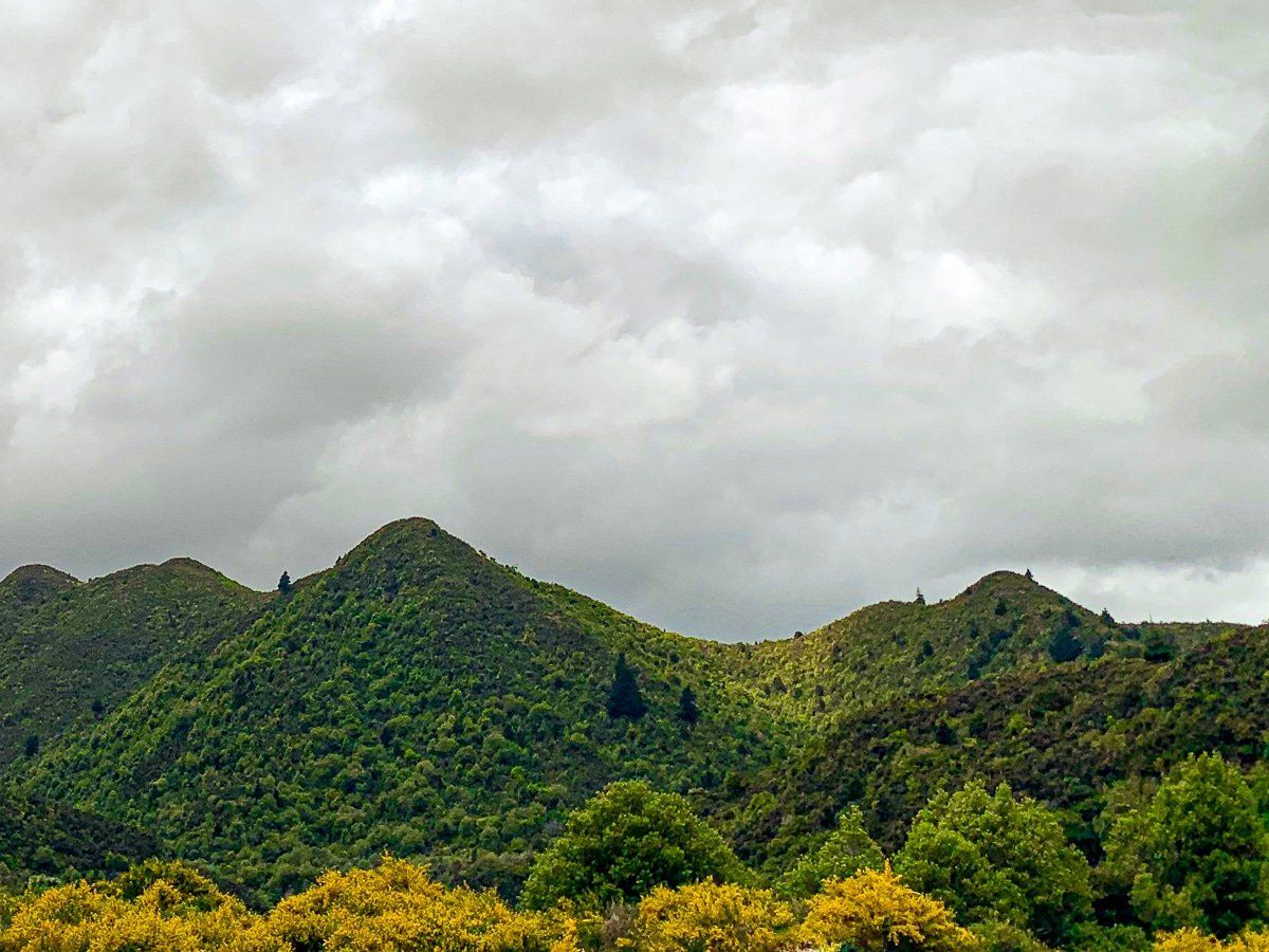
Ahimanawa Range
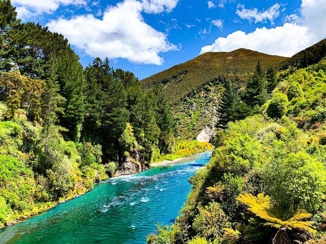
After the falls, the road follows the Waipunga River with the Ahimanawa Range on the southwest side. Oddly, the interesting pyramid-like peaks on the northeast side are generally unnamed. It’s the most interesting part of the drive, but there are only one or two good places to stop to get a sense of the terrain.
Once you exit this section you’re well into Hawke’s Bay, with farms, another big exotic forest and then vineyards. Check out last week’s blog for some things to do in Hawke’s Bay before you head back to Taupō via Taihape Napier Road.
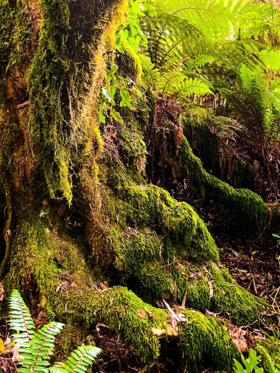
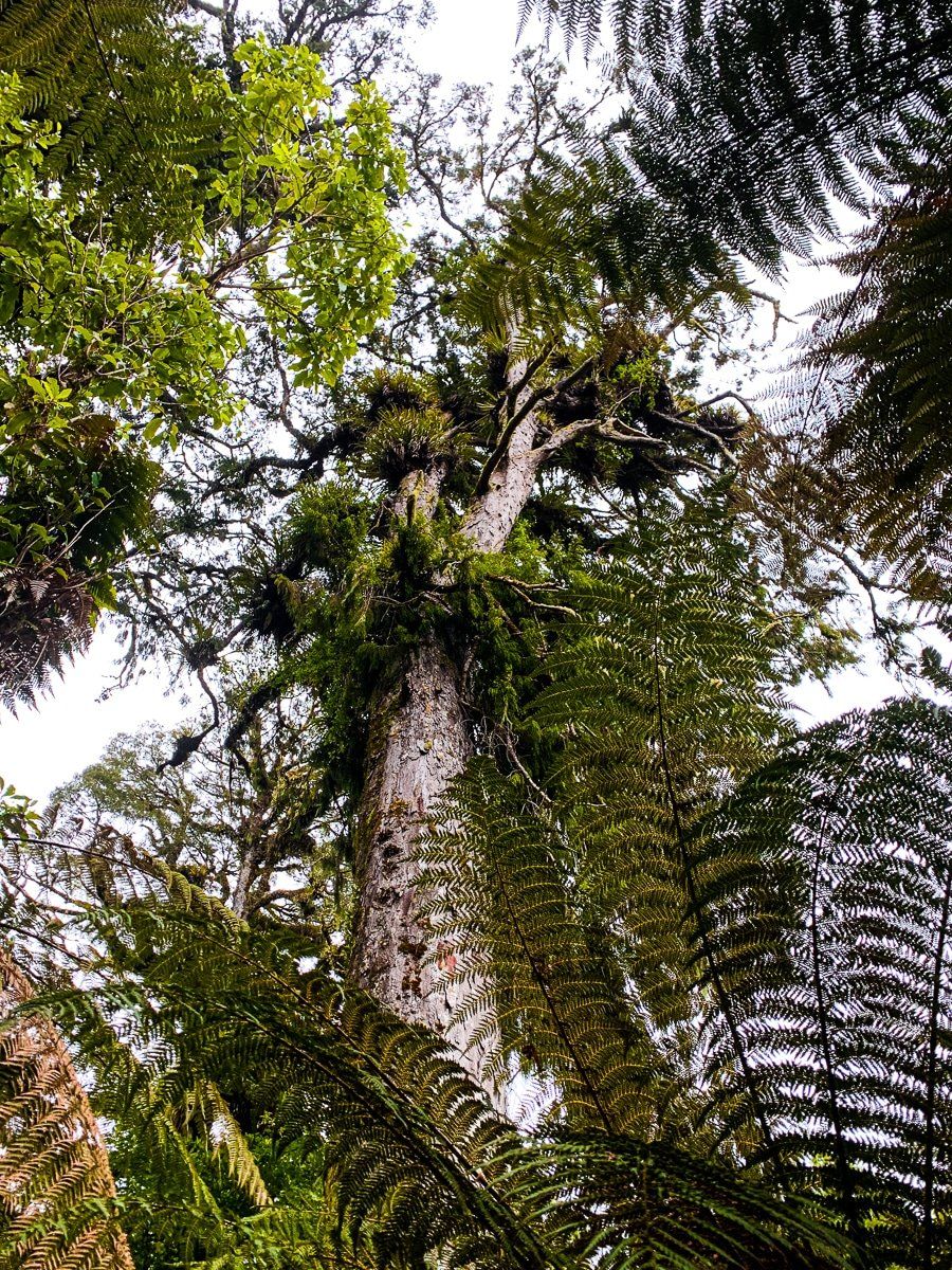
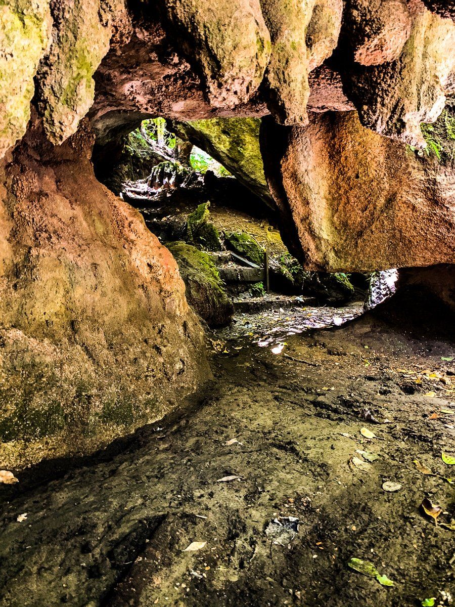
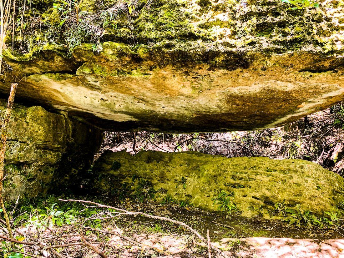
Blowhard Bush
The Taihape Napier Road is a 150 kilometre remote drive that takes you from Fernhill, to the southwest of Napier, to State Highway 1, to the south of Waiouru. Blowhard Bush is about halfway, and is a superb place to take a break.
After crossing farmland, the road enters the Kakeka Forest (a large exotic pine forest) and climbs to 700 metres to a pass in the Glenross Range. The access to Blowhard Bush is near the pass, about 1 kilometre along a metal side road.
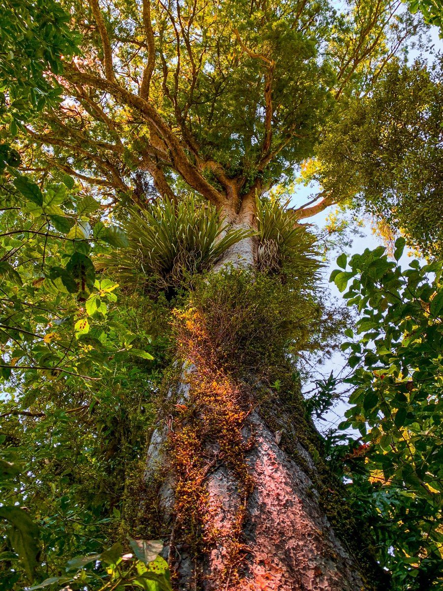
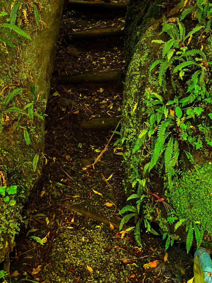
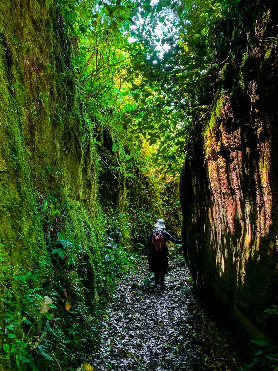
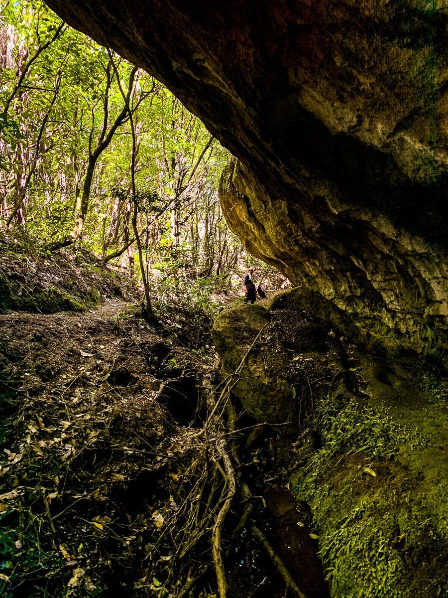
Blowhard Bush is another mature native forest remnant with some beautiful limestone rock sections, caves, big trees and a rainforest feel. There are several short walks from around 30 minutes to 2 hours.
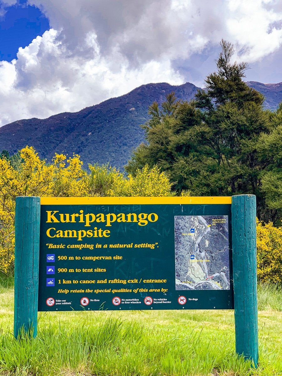
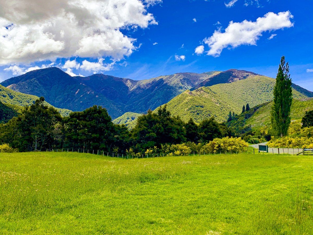
Kuripapango
As you exit the Kaweka Forest to the west, the highway drops down into Kuripapango, where there are no services. There are a couple of DOC campsites by the river and access to hiking and tramping tracks into the Kaweka Range to the north. From there, the road climbs steeply again through rugged terrain and regenerating forest to a plateau about 900 metres above sea level.
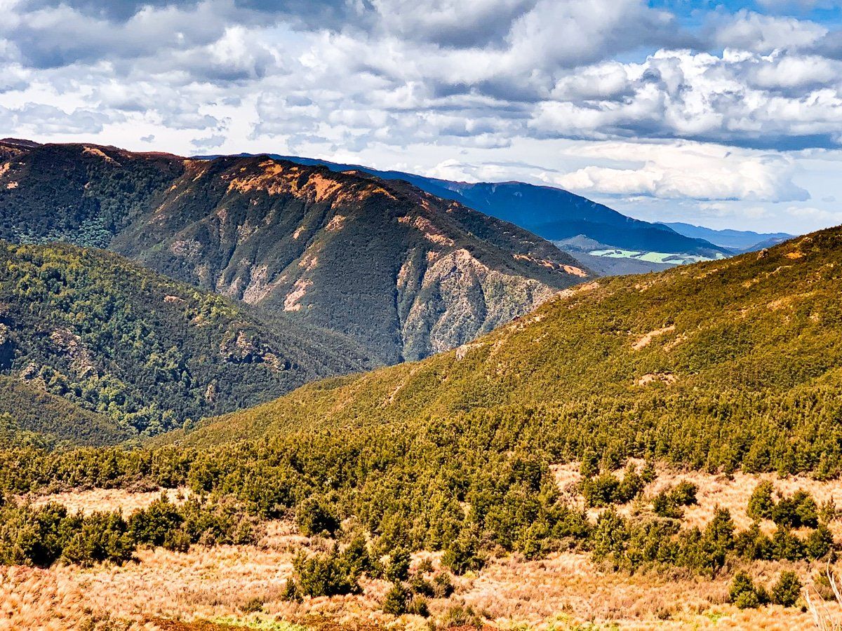
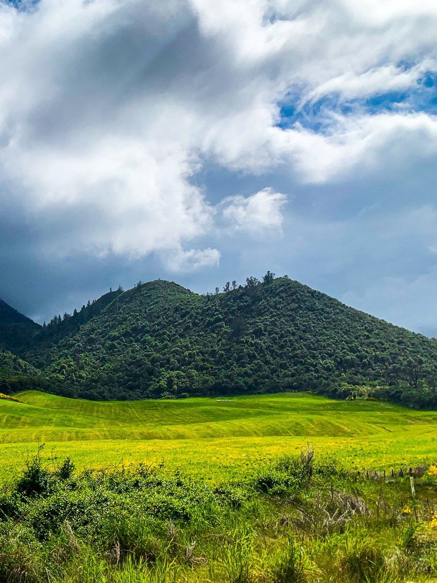
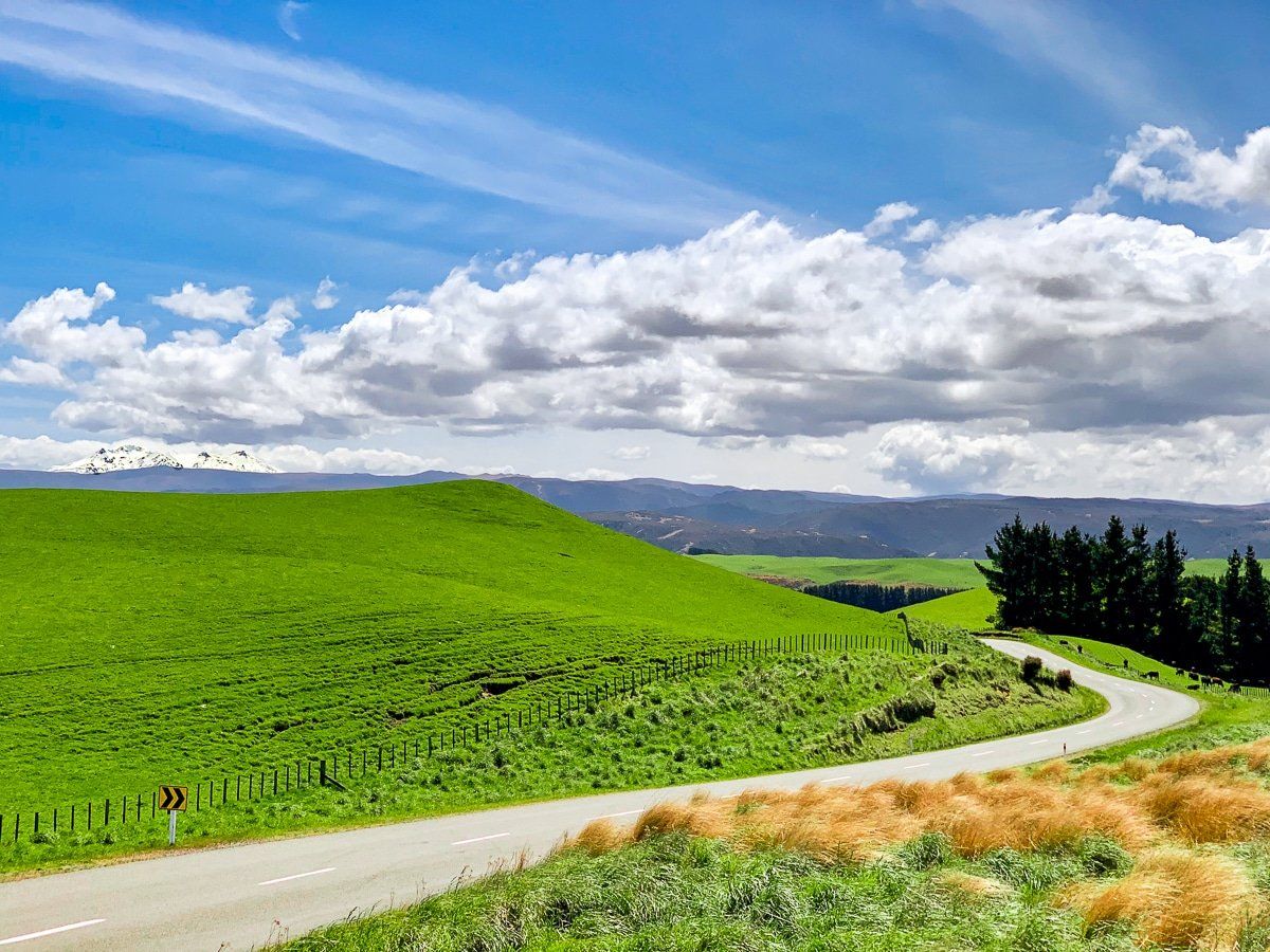
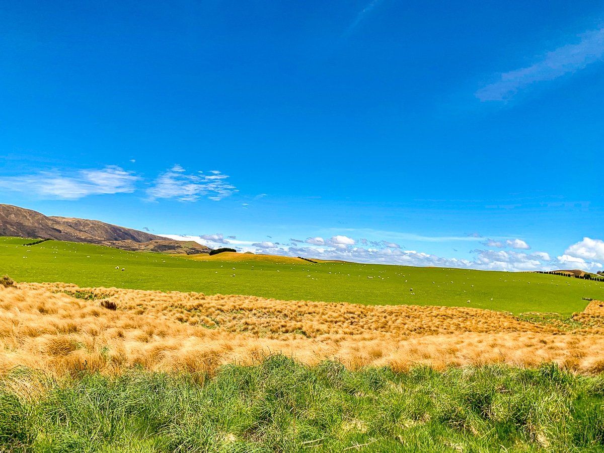
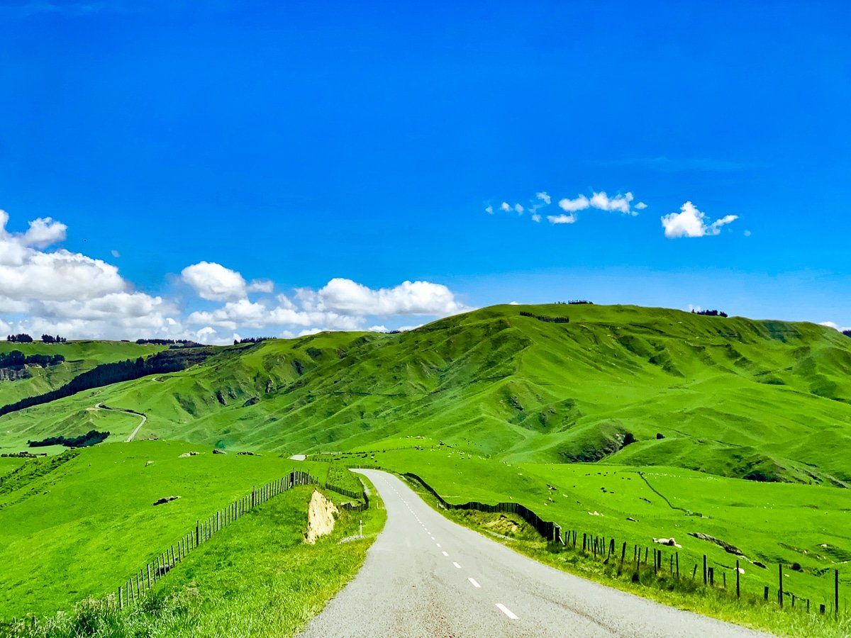
Taihape Napier Road Plateau
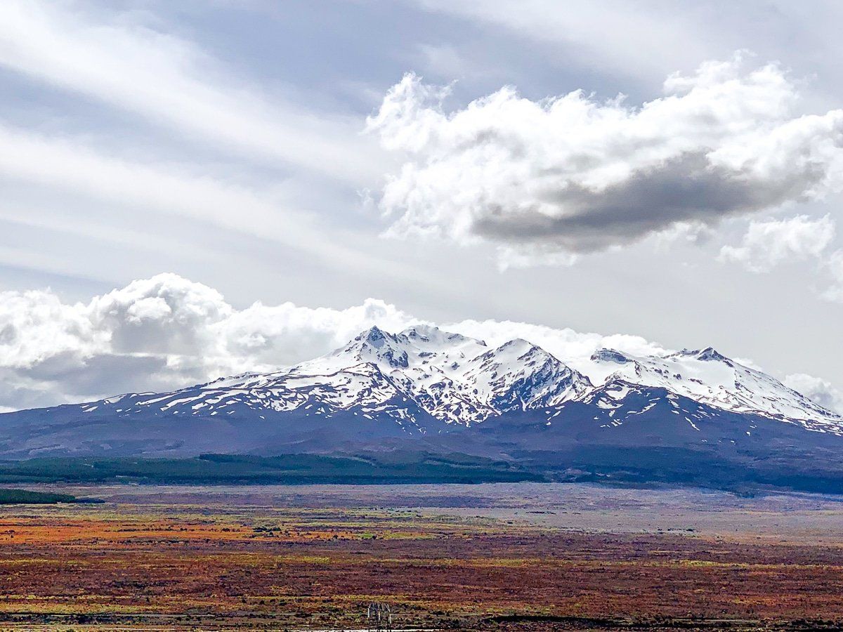
This unnamed plateau is quite extraordinary, in part because it’s farmed and was amazingly green when we drove though, despite being a high plateau on the east side of the country. To the west you can sometimes make out Ruapehu, but at 900 metres on a plateau, it was quite cold and windy!
When you get to Te Moehau Junction, you can head to SH1 by going south to Taihape or west towards Waiouru.
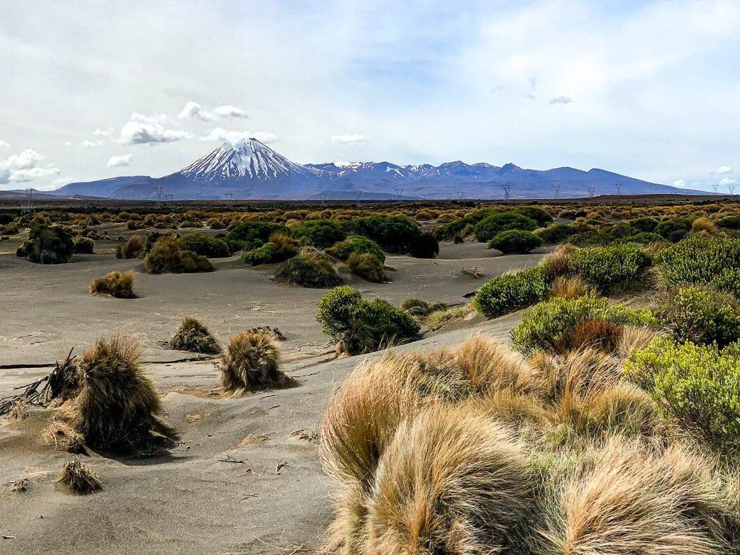
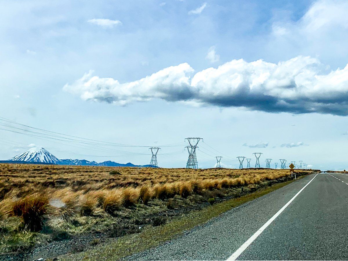
Desert Highway
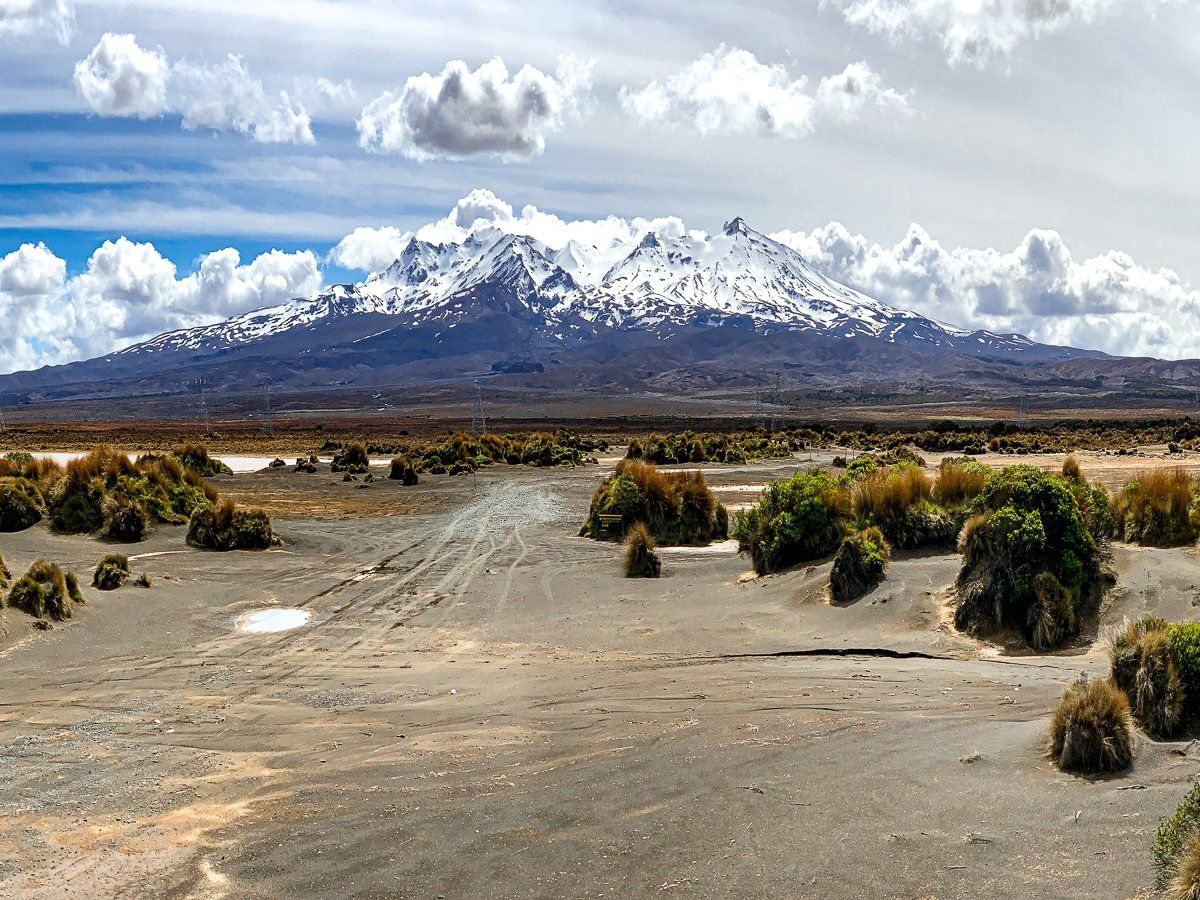
Desert Highway is one of the top scenic drives in New Zealand, although you will probably suffer traffic shock after remote Taihape Napier Road. As you approach Waiouru, the view of Ruapehu is across green farmland, but once past the town, it quickly turns to the Rangipo Desert with scrublands, tussock and even sand further north.
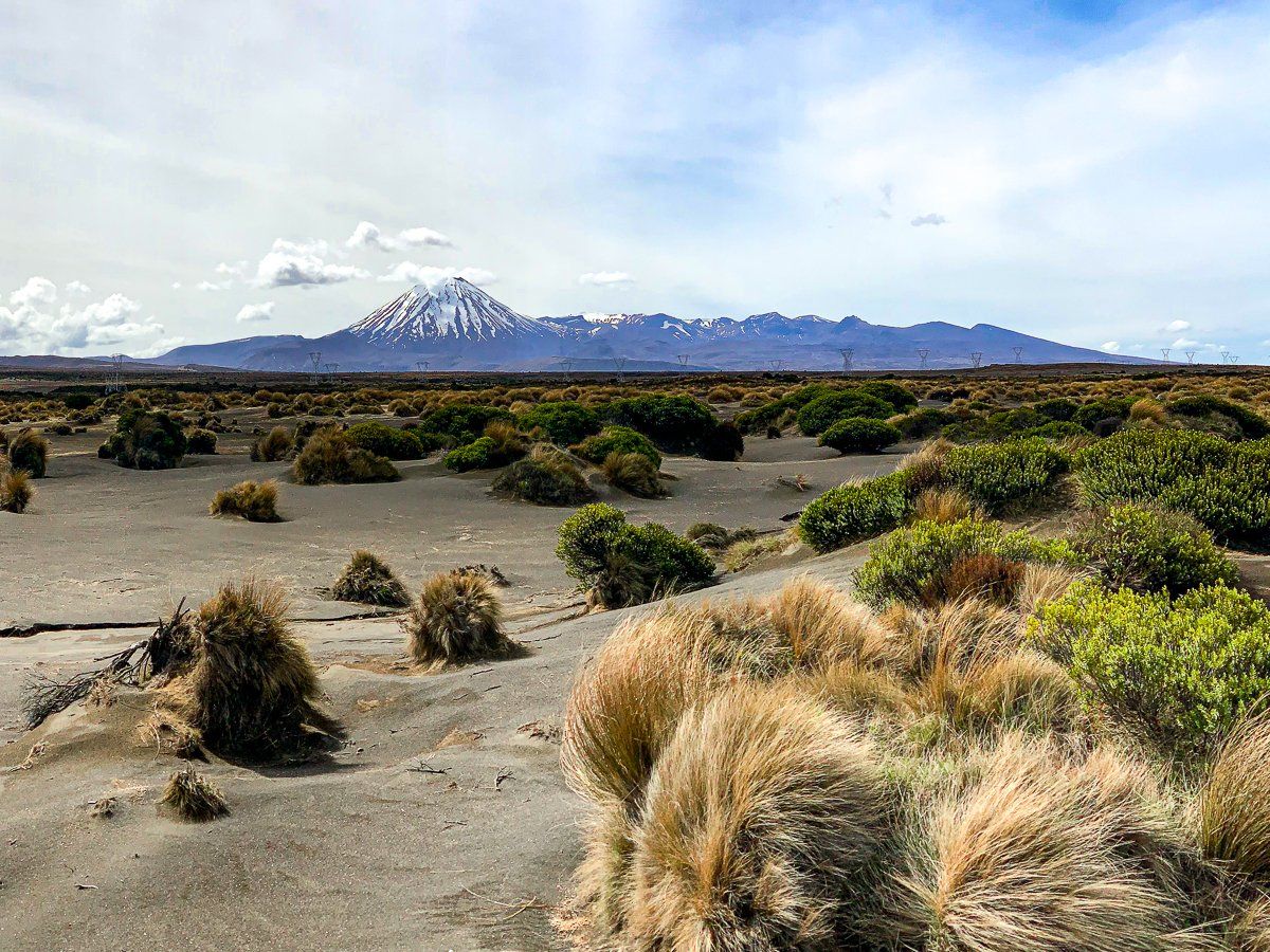
It’s generally safe to stop on the side of the road to see views of the Tongariro National Park volcanoes. As you get to the end of the desert section, the road swings around to face Mt Ngauruhoe (Mt Doom in Lord of the Rings), with the lower, flatter Mt Tongariro to the right.
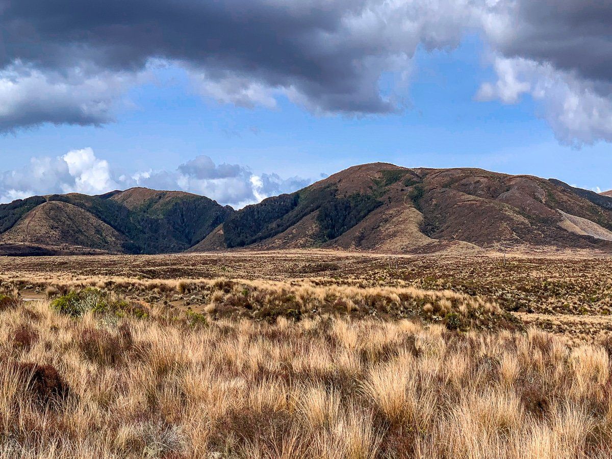
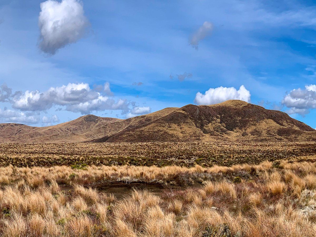
Further north on the east side of the road are the Kaimanawa Mountains. These photos were taken in spring, but the best time is probably a fine day in winter after a snow storm.
Want more North Island trip ideas?
Check out our posts on Great Barrier Island, the Coromandel and Taranaki.