
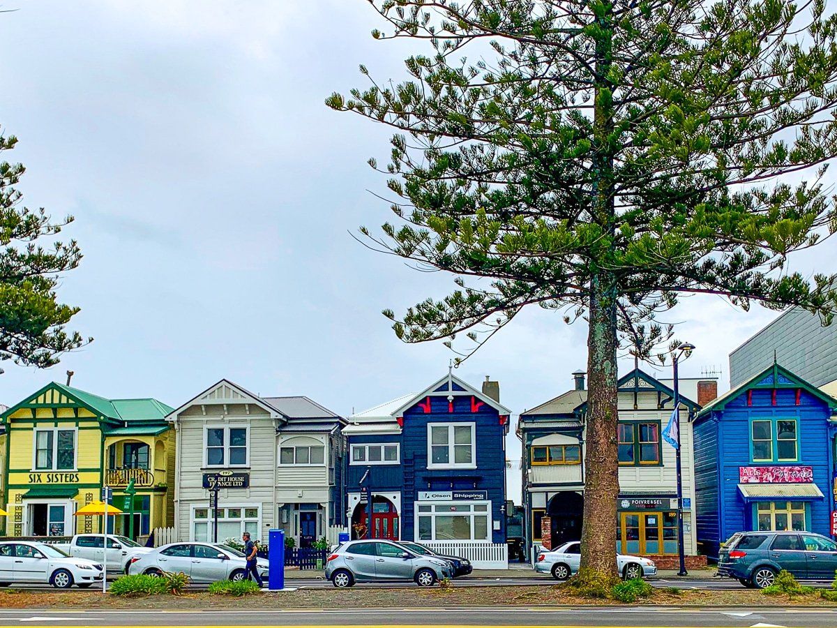
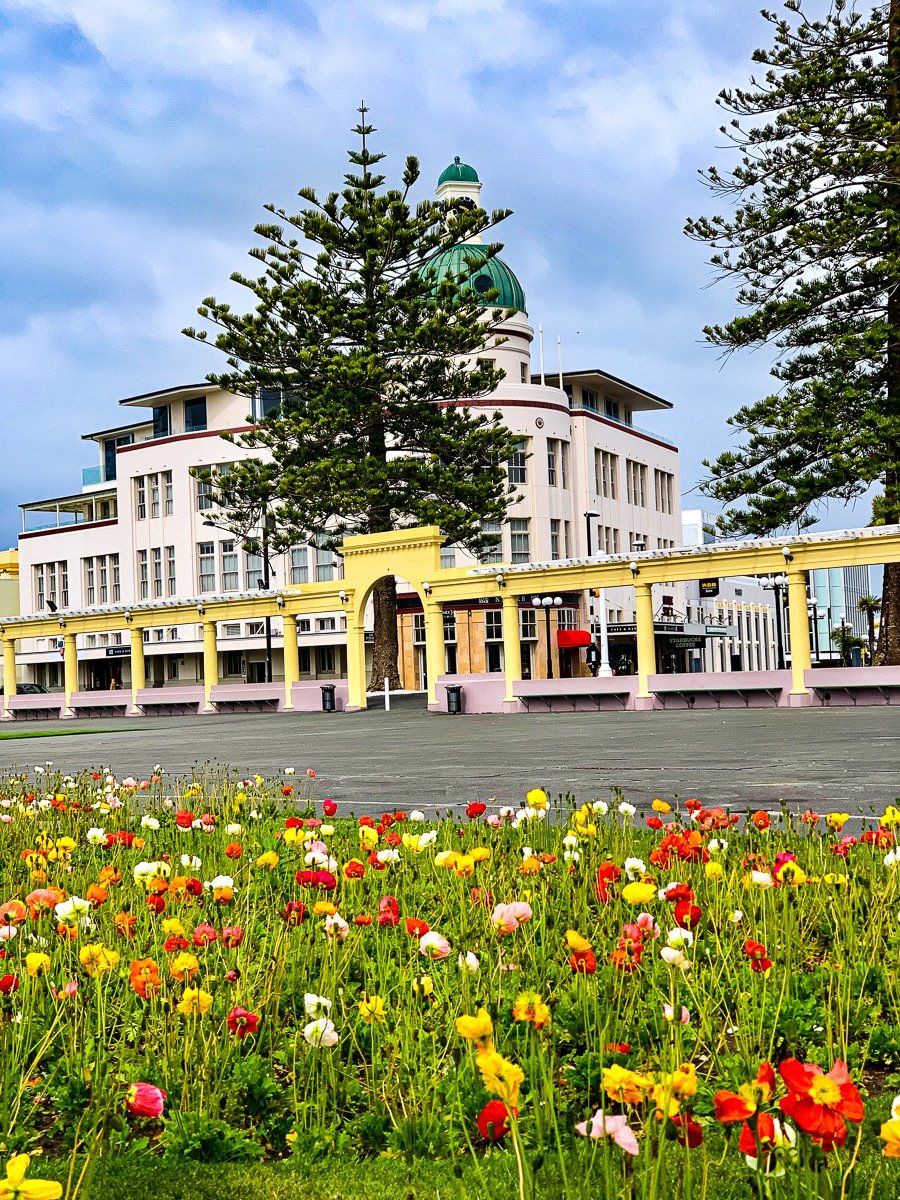
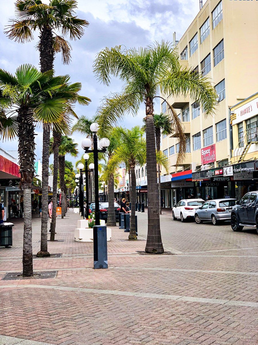
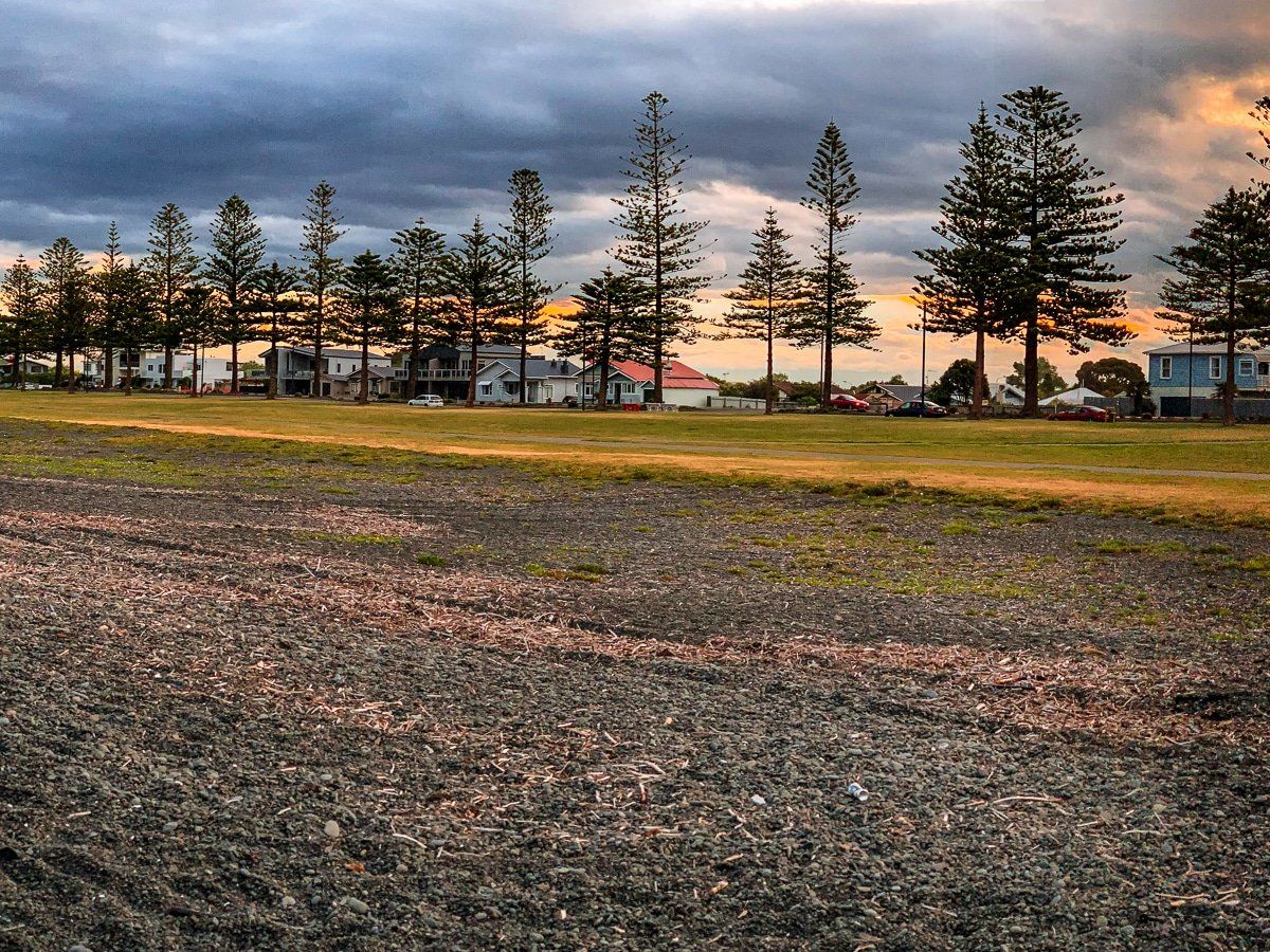
Hawke’s Bay is a large, half-moon bay region on the east coast of the North Island. At its southern end lies Napier, which is the main focus of this blog, as well as nearby Hastings and Havelock North. Hawke’s Bay is probably best known for it’s art deco architecture, sunshine and wine, and there’s plenty to do around Napier. The central town is easily walkable, with the largest collection of art deco buildings in the southern hemisphere, and Bluff Hill is immediately above Napier for wonderful views.
Hawke’s Bay beaches aren’t really for swimming, but there are superb walking and bike tracks along the coast. You can also easily drive or cycle to one of the nearby winery restaurants, or wander around the coast to the north towards the Ahuriri Estuary and various eateries. If you want to go a bit further afield, start with Te Mata peak and Ocean Beach, which are both fantastic.
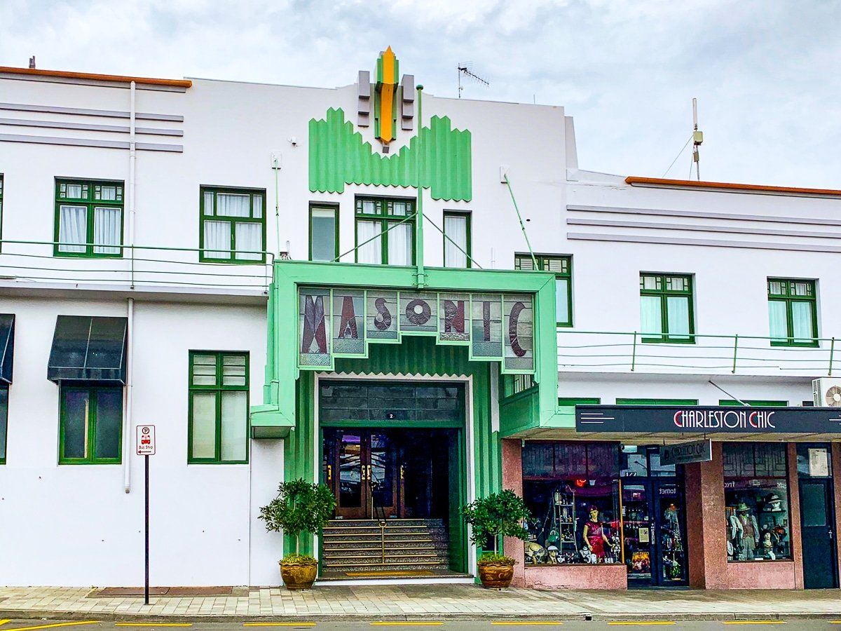
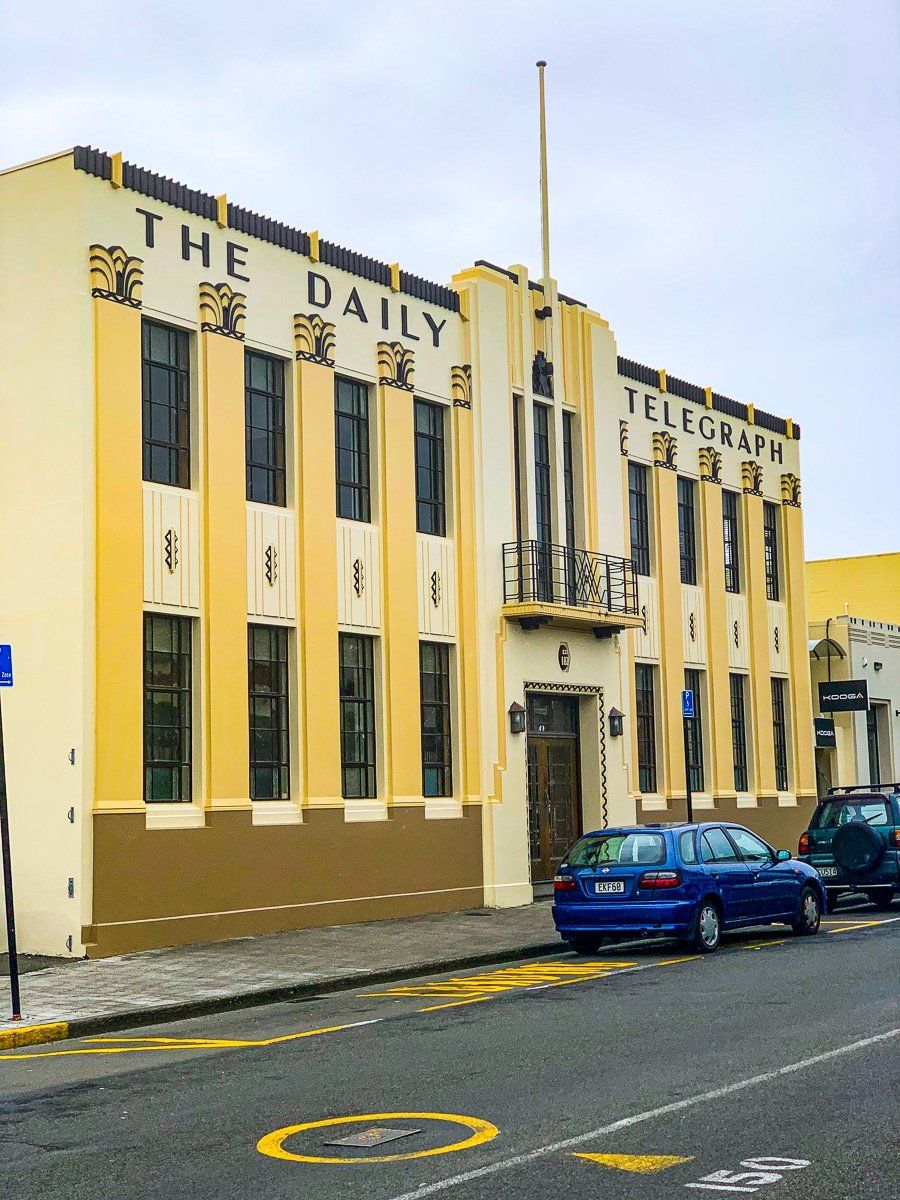
Art Deco
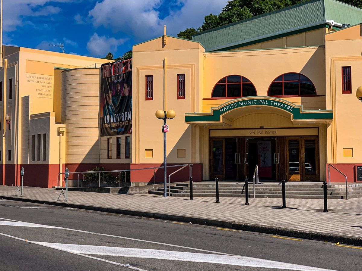
In February 1931, Napier’s downtown city was destroyed by an earthquake and subsequent fire. With 256 dead and thousands injured, it is the worst natural disaster recorded in New Zealand. One result of the disaster was the rebuild, which was dominated by art deco architecture styles.
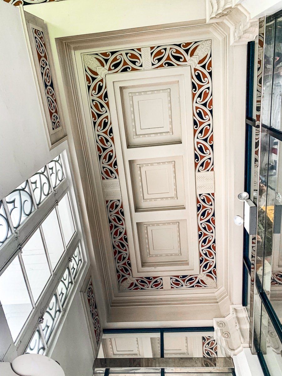
Today, you can walk around Napier (with the help of an app or an iSITE guided tour) and check out the art deco buildings. See if you can spot the odd one out – the Frank Lloyd Wright prairie style building – and the incorporation of Māori motifs into art deco design, or hear the stories about the waving woman and boy statues on Emerson Street.
The tour also includes an astonishing 20 minute film about the earthquake and aftermath, including footage shot the day before. Hard to imagine that much of the area was a lagoon that was uplifted and naturally drained, or that the town was building a seawall that was made redundant by the earthquake!


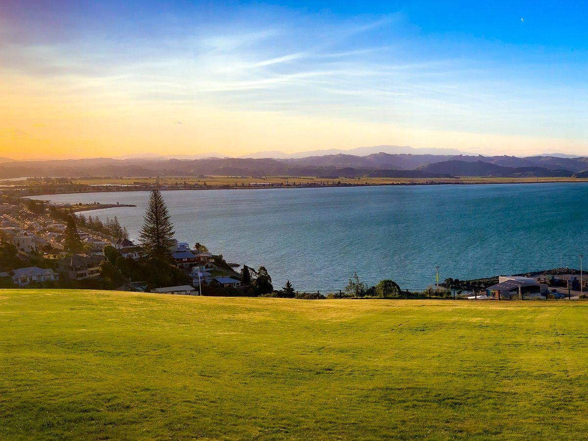
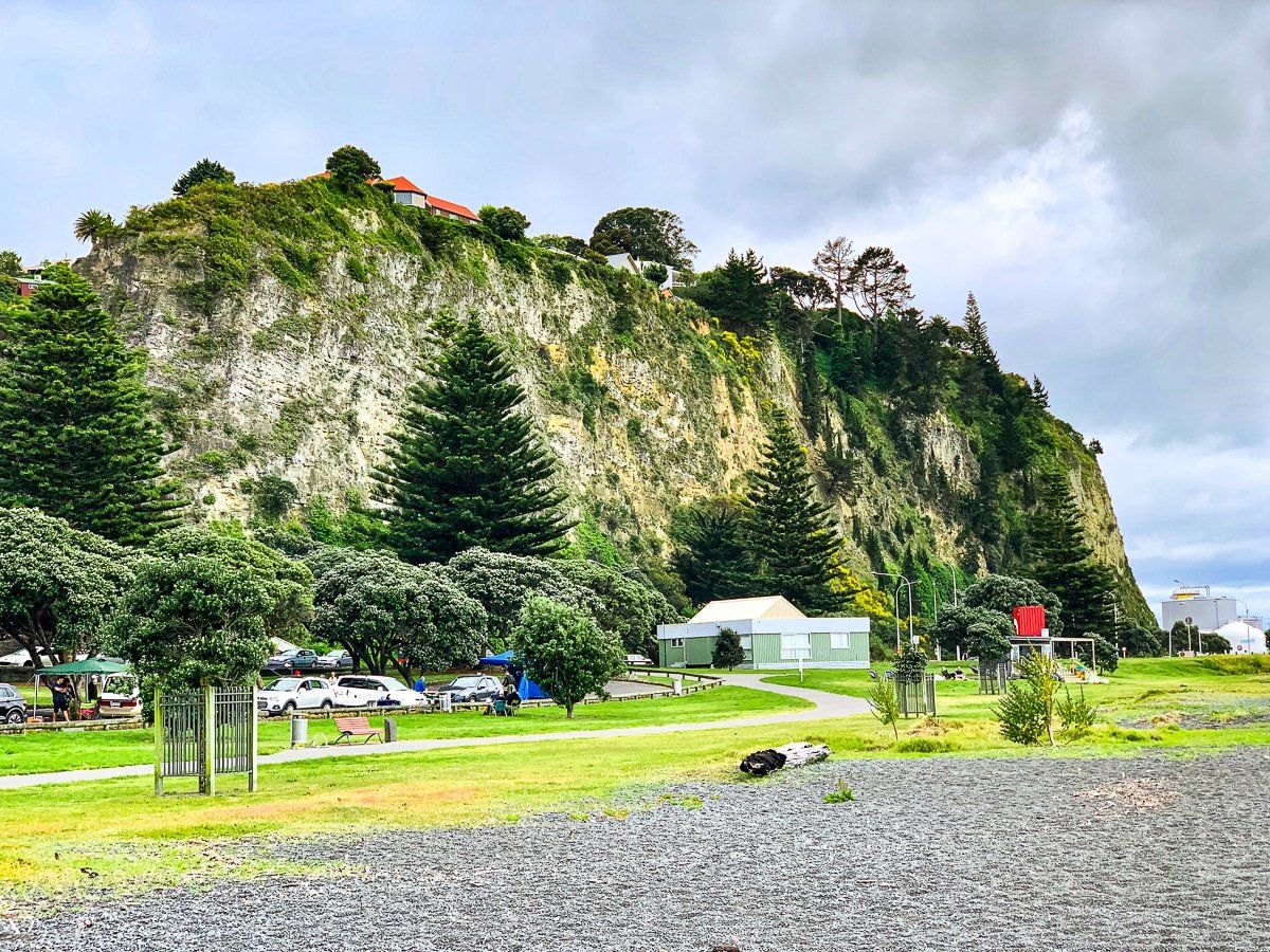
Bluff Hill
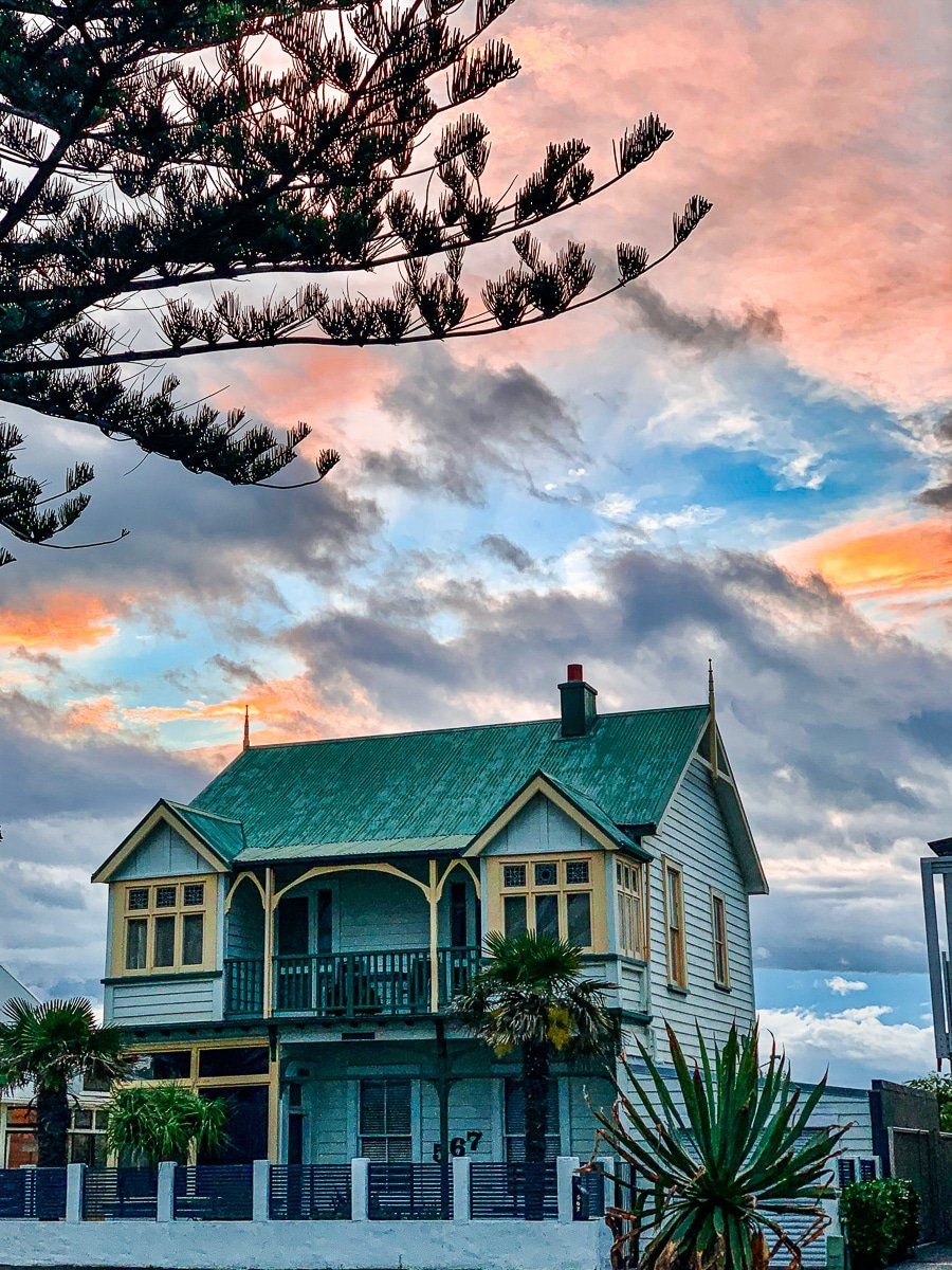
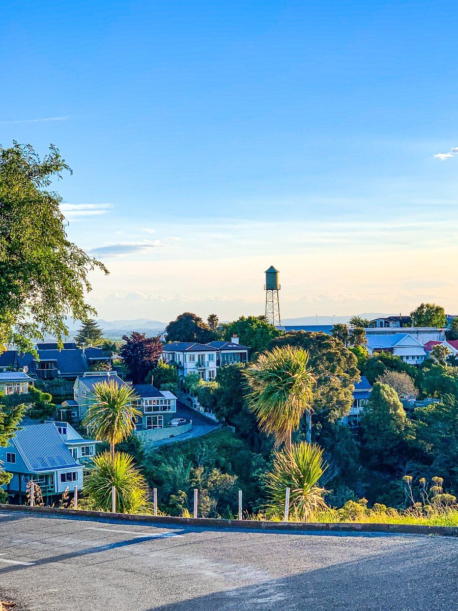
Bluff Hill is a steep hill immediately behind the Napier town centre, dominated by Victorian and Edwardian wooden houses that predate the earthquake. It’s amazing to think these houses survived both the earthquake and the fire intact.
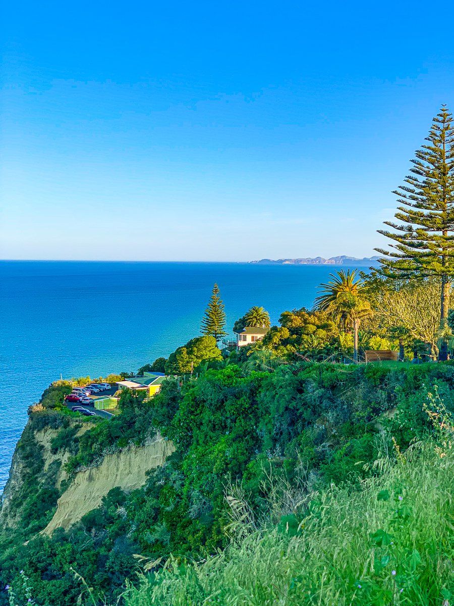
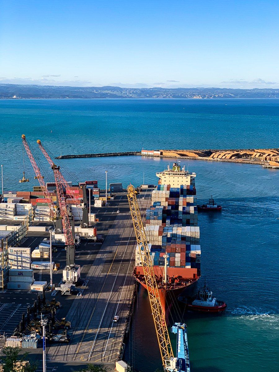
You can walk up to a park on the cliff edge of the hill to overlook the Port of Napier – it’s a good spot to watch the sunset, as the viewpoint faces north.
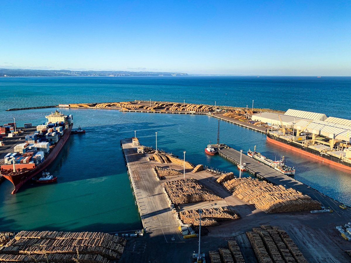
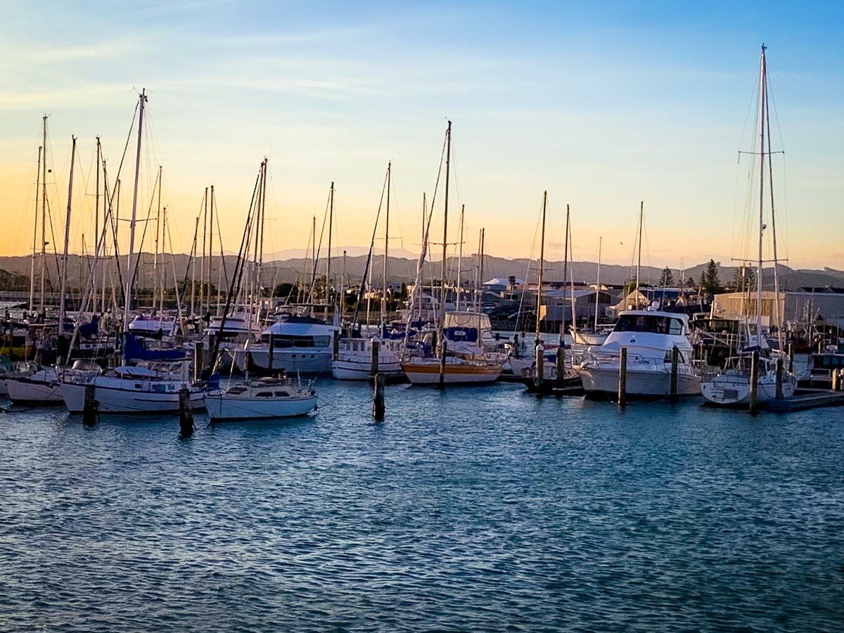
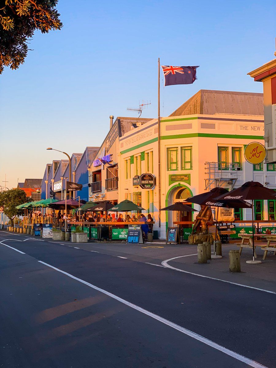
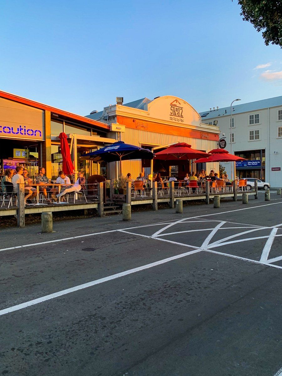
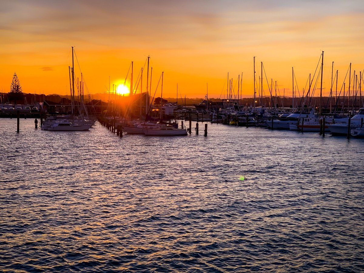
The Quays
The quays area is near the mouth of Ahuriri Estuary and immediately west of the port and Hospital Hill. Along West Quay, the fishing boats and warehouses have been mostly displaced by cafes and restaurants, and it’s a great place to be at sunset, as the sun goes down directly over the marina on the west side of the river outlet. There’s also a park to wander around at the north end of the quays by Perfume Point.
Waterfront walkway
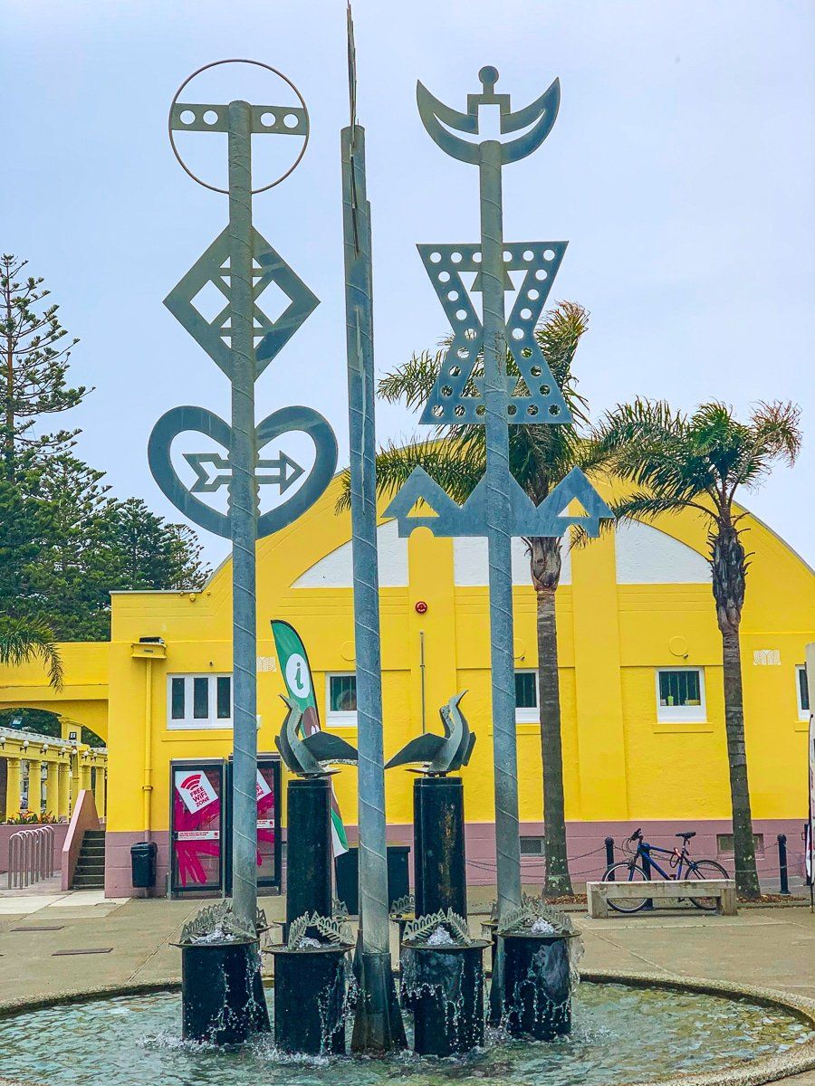
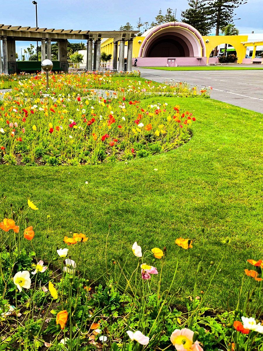
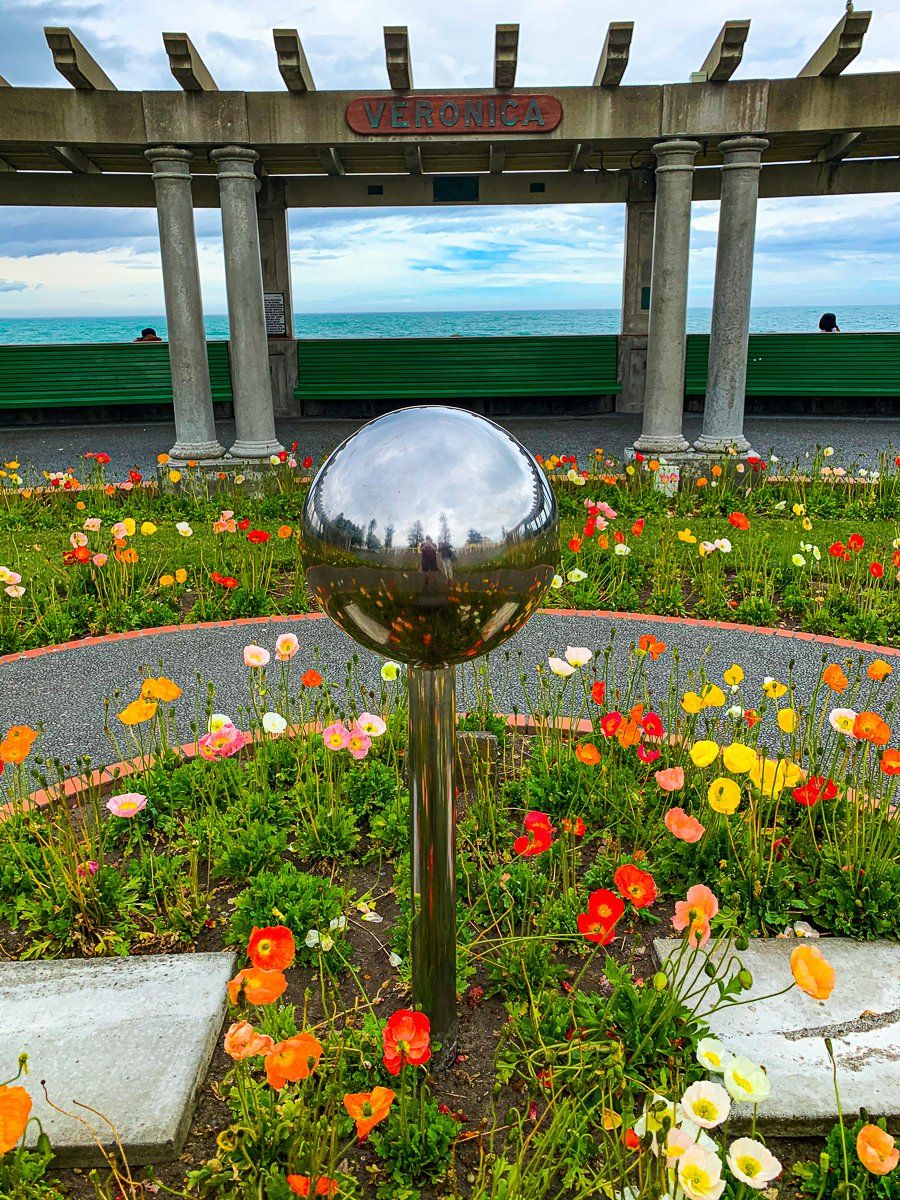
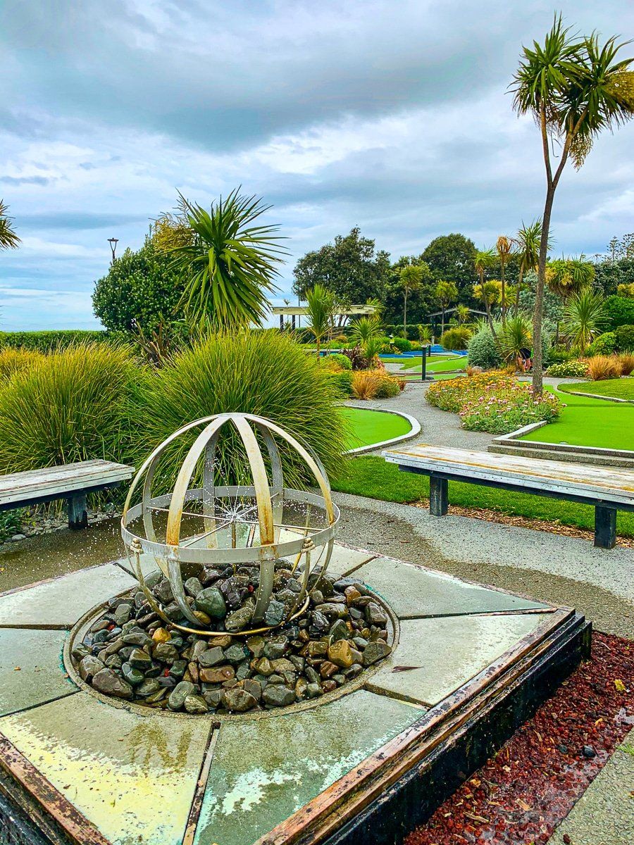
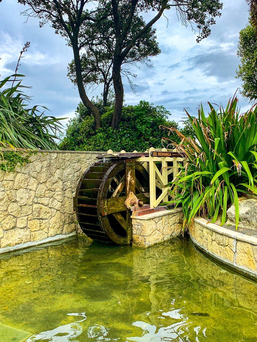
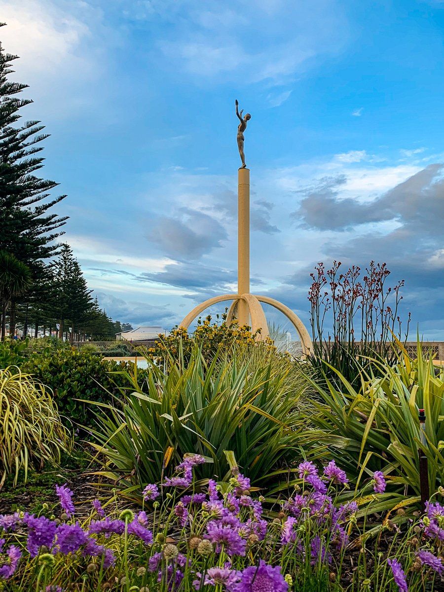
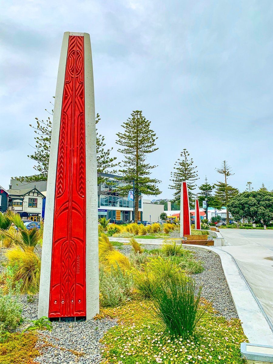
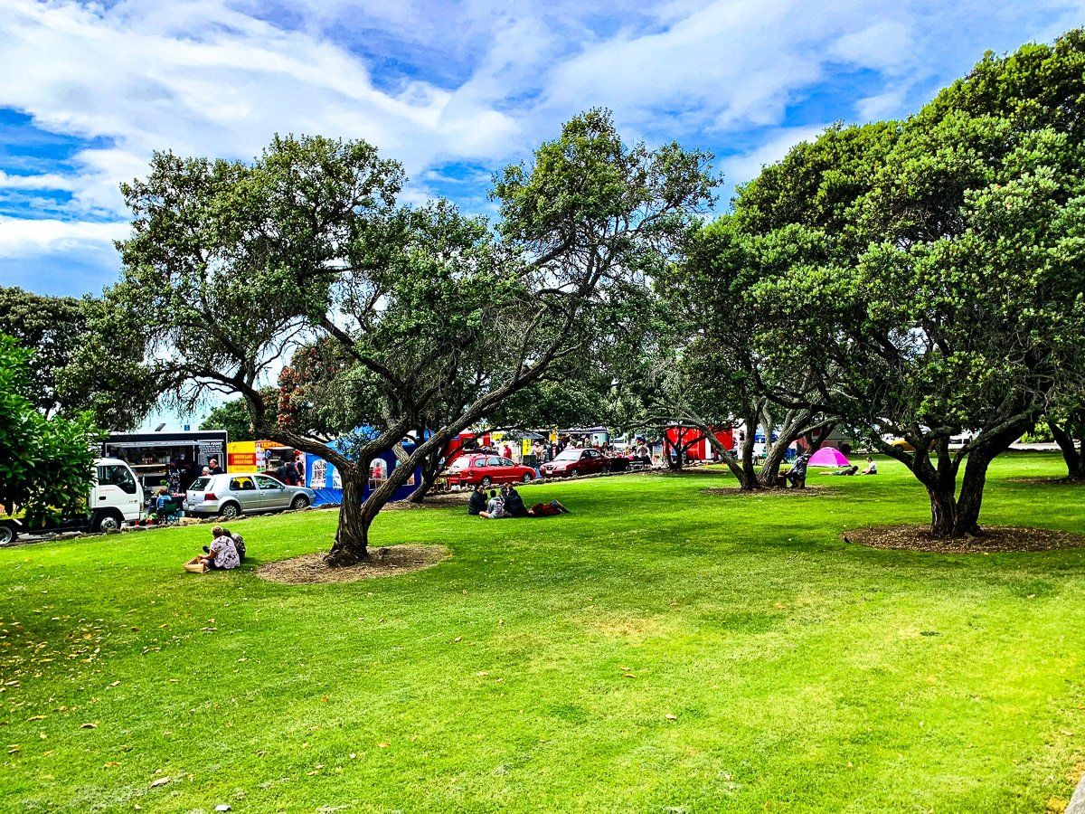
Immediately in front of Napier’s town centre is the start of one of the loveliest waterfront walks in the country. On Saturday mornings there’s a farmers market immediately below Bluff Hill – start here and then follow the path as it meanders through a series of gardens, parks, playgrounds and the National Aquarium, with art deco through to more modern sculptures featuring along the route.
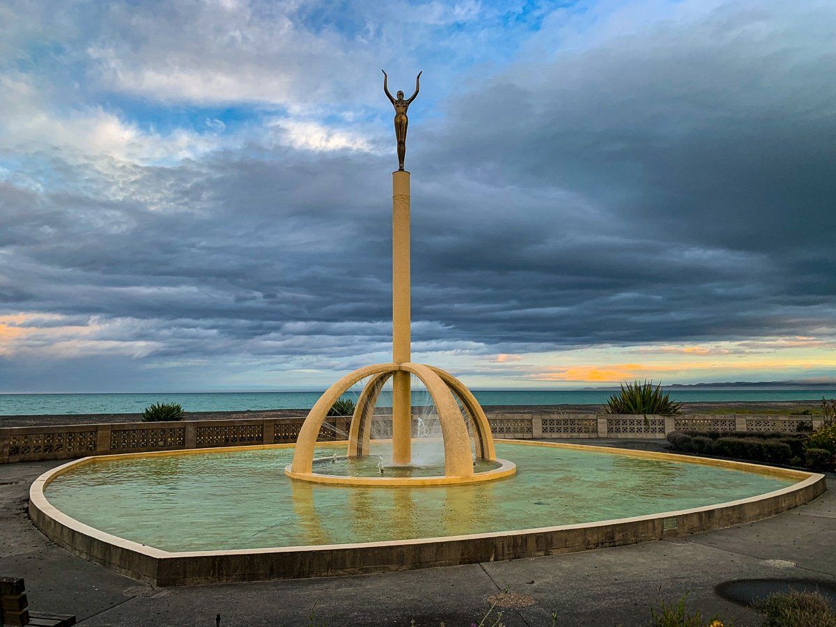
Particularly notable features include the Tom Parker art deco fountain, the Pania of the Reef statue (which was stolen for a time), the art deco memorial Colonnade and Plaza, the Sunken Garden and the Spirit of Napier. The latter commemorates the city’s recovery from the earthquake.
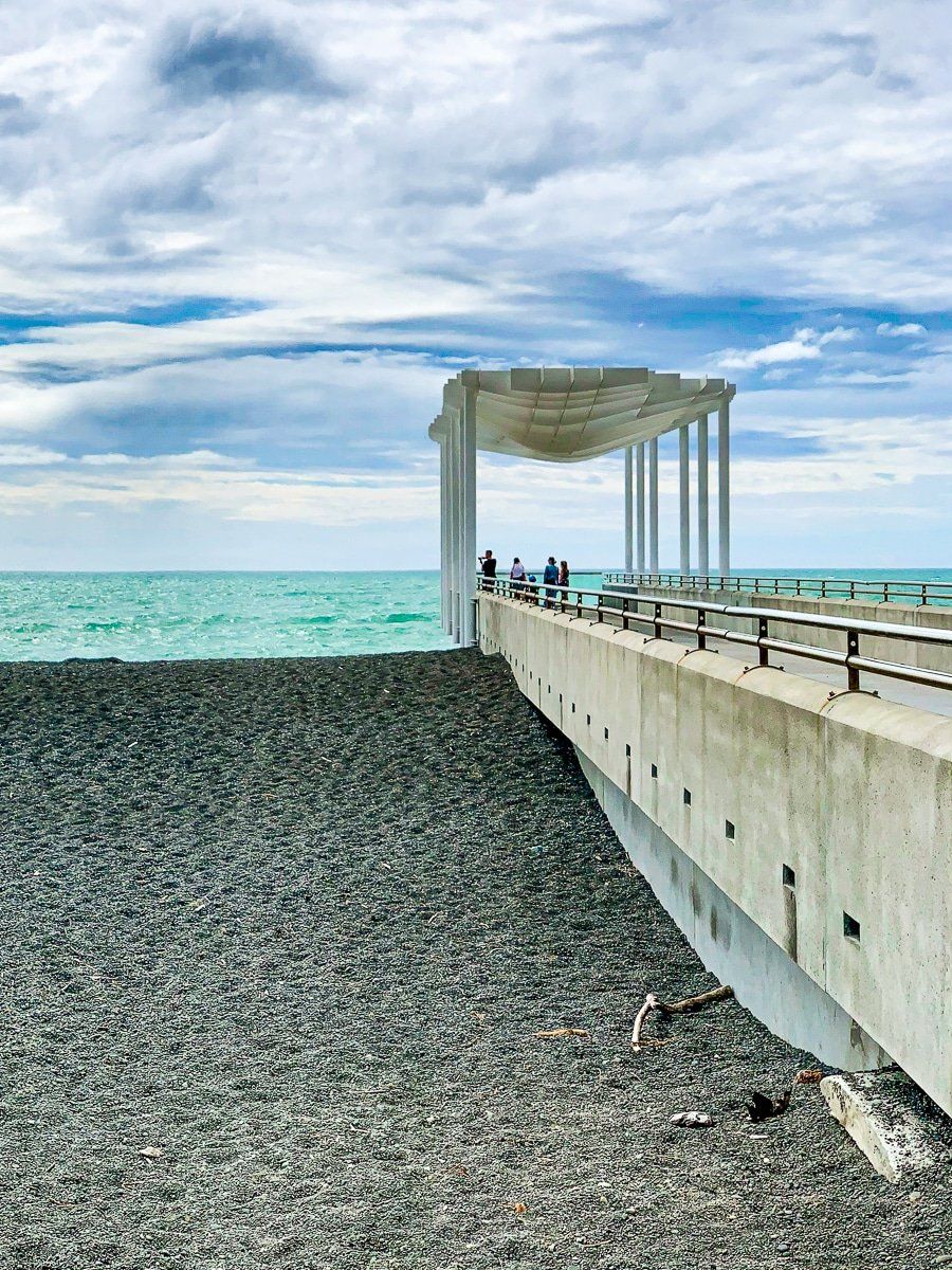
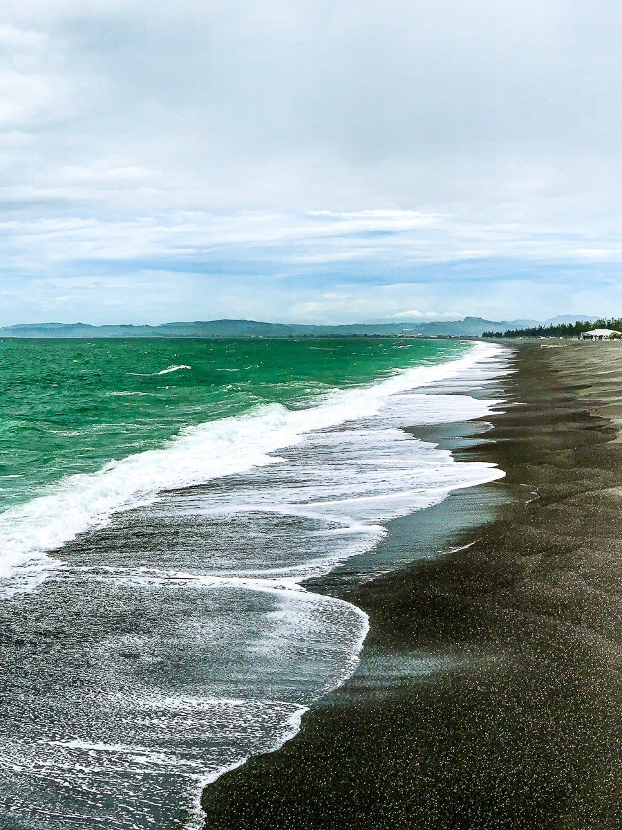
You can easily get to the beach during the walk, and the combination of dark pebbles and coarse sand is spectacular against the surf.
Around and about
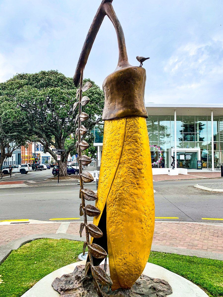
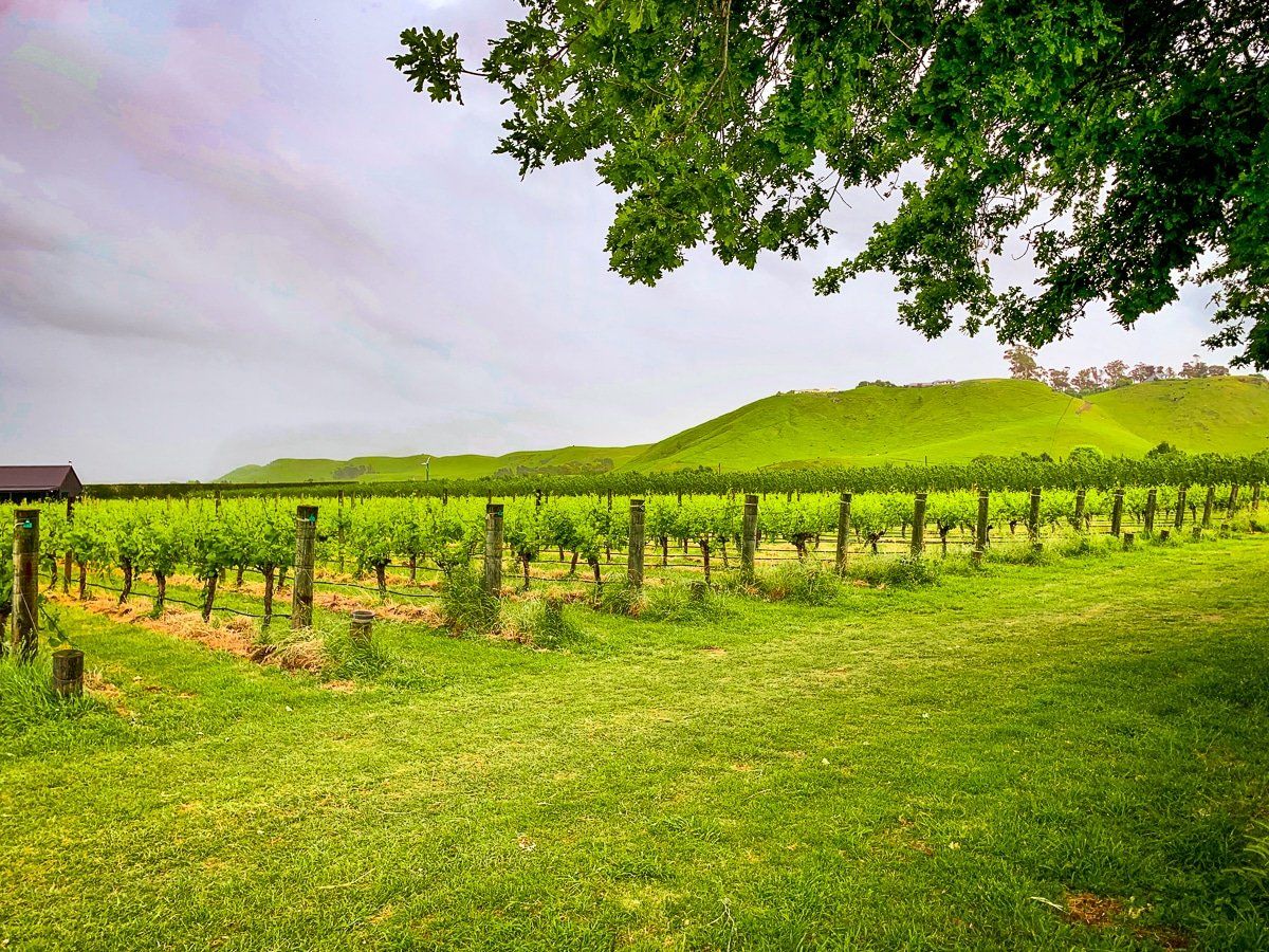
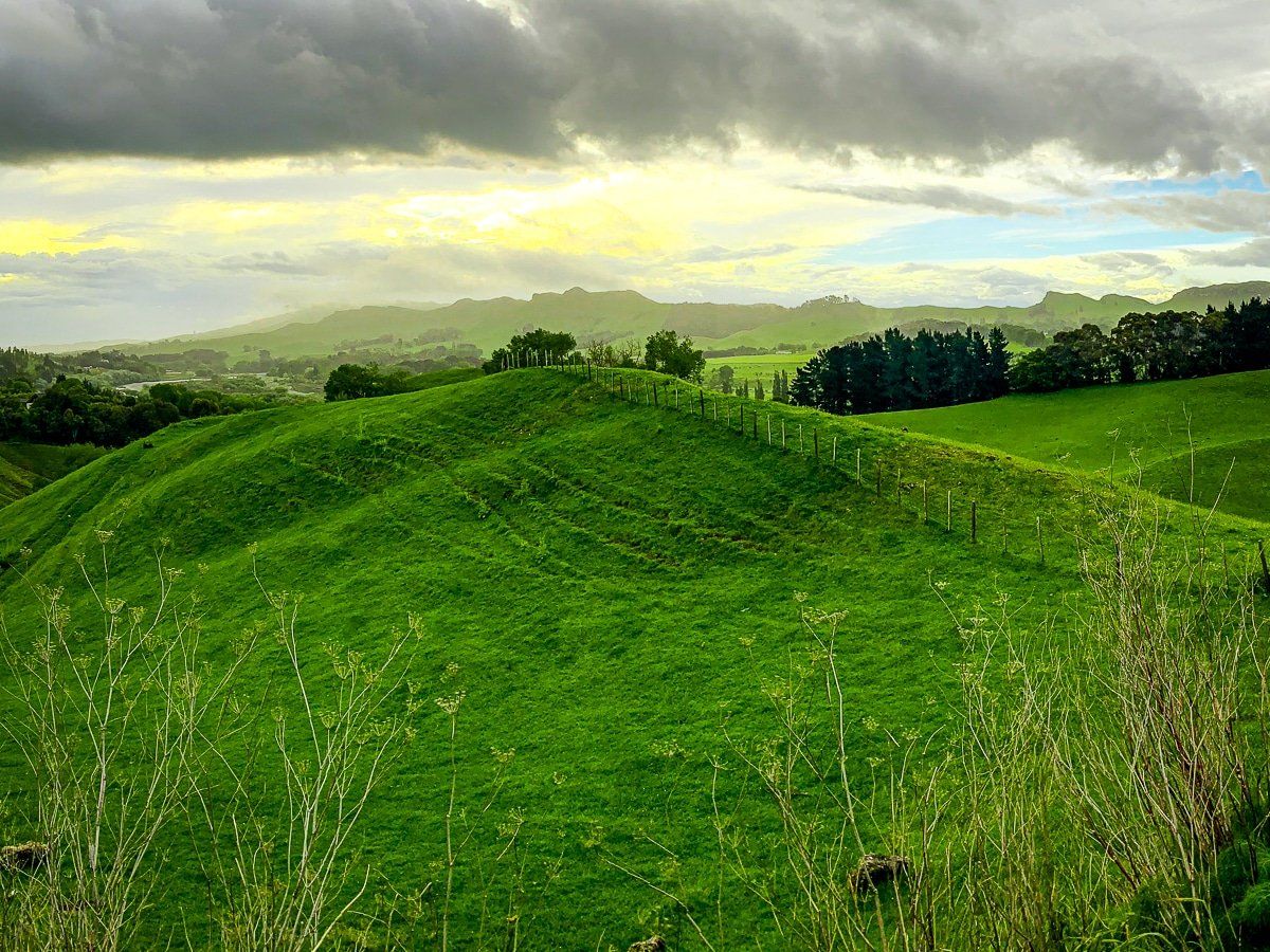
As well as art deco, Napier has plenty of other points of interest, both around the town and a short drive or bike ride away. A few of these are shown here, including the wineries, the wide bay to Cape Kidnappers, and the golden kowhai flower statue. In terms of architecture, look out for the Frank Liquid Wright prairie design, an alternative to art deco in the 1930, and the row of Victorian wood houses that survived at the edge of the fire.
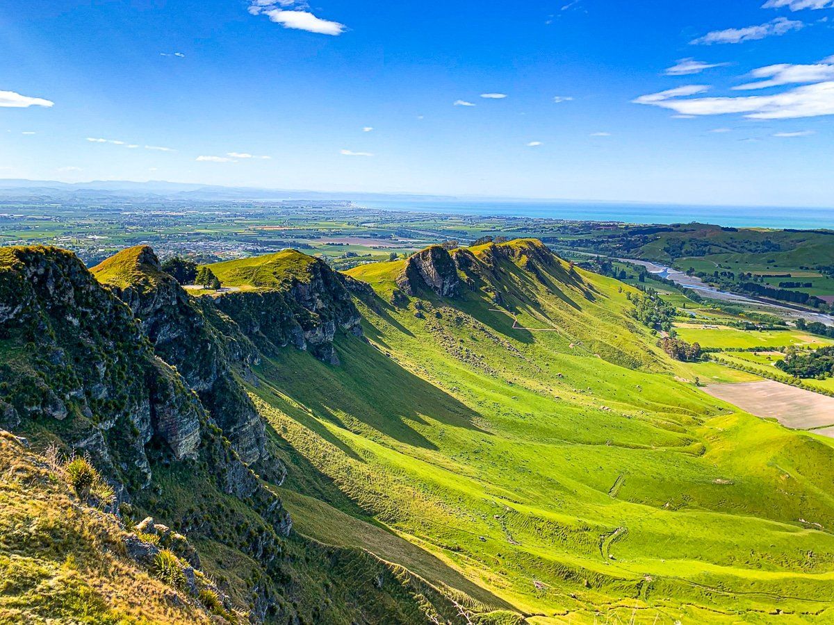
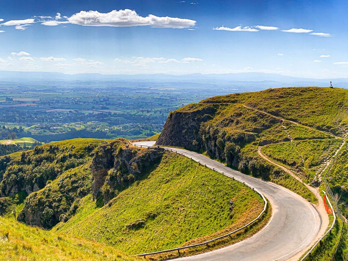
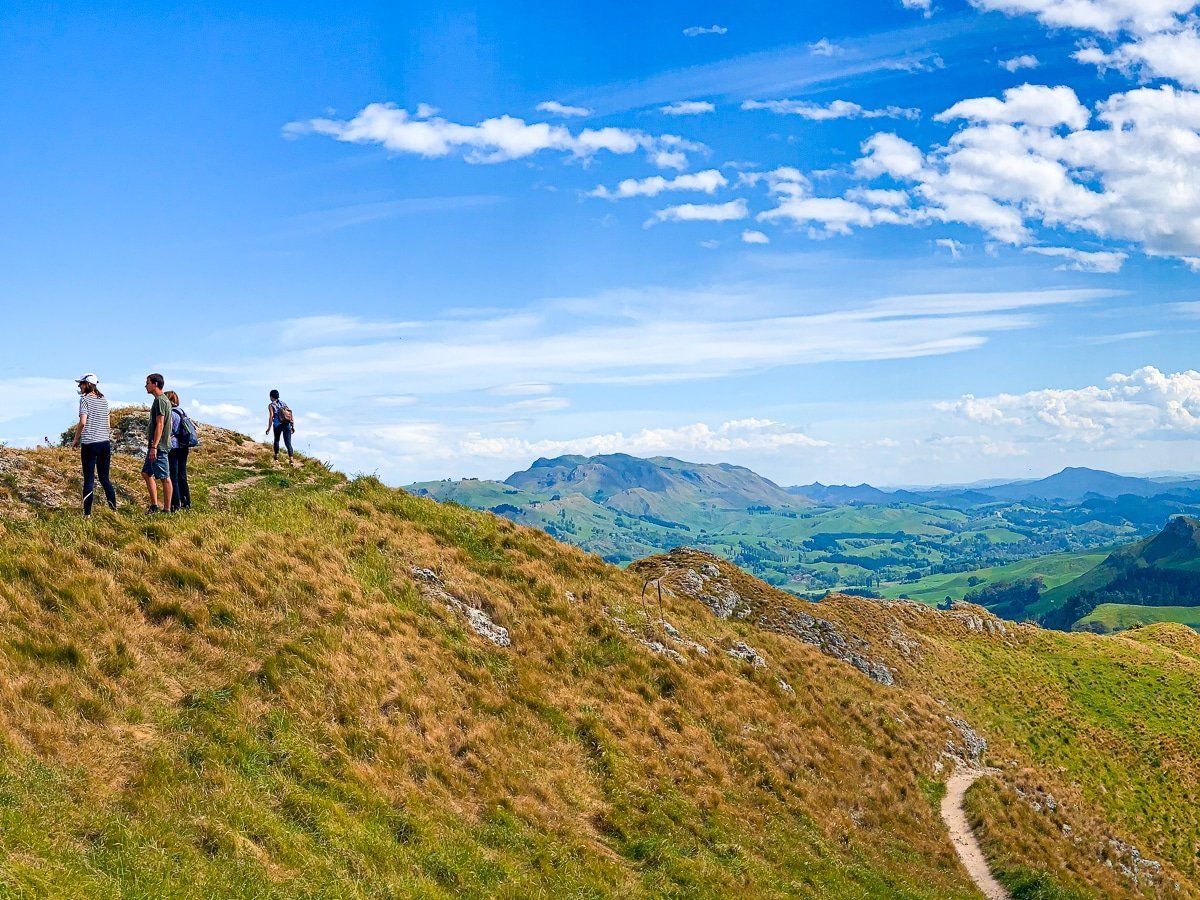
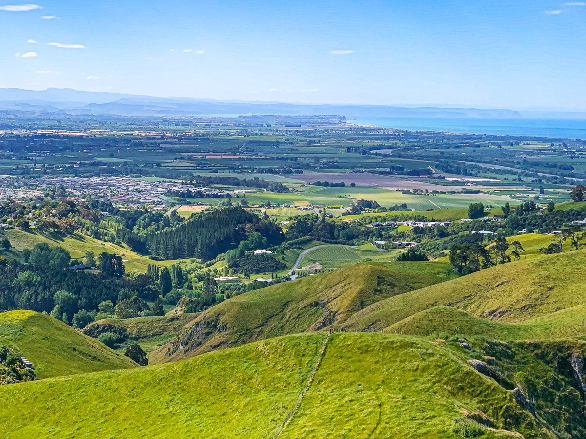
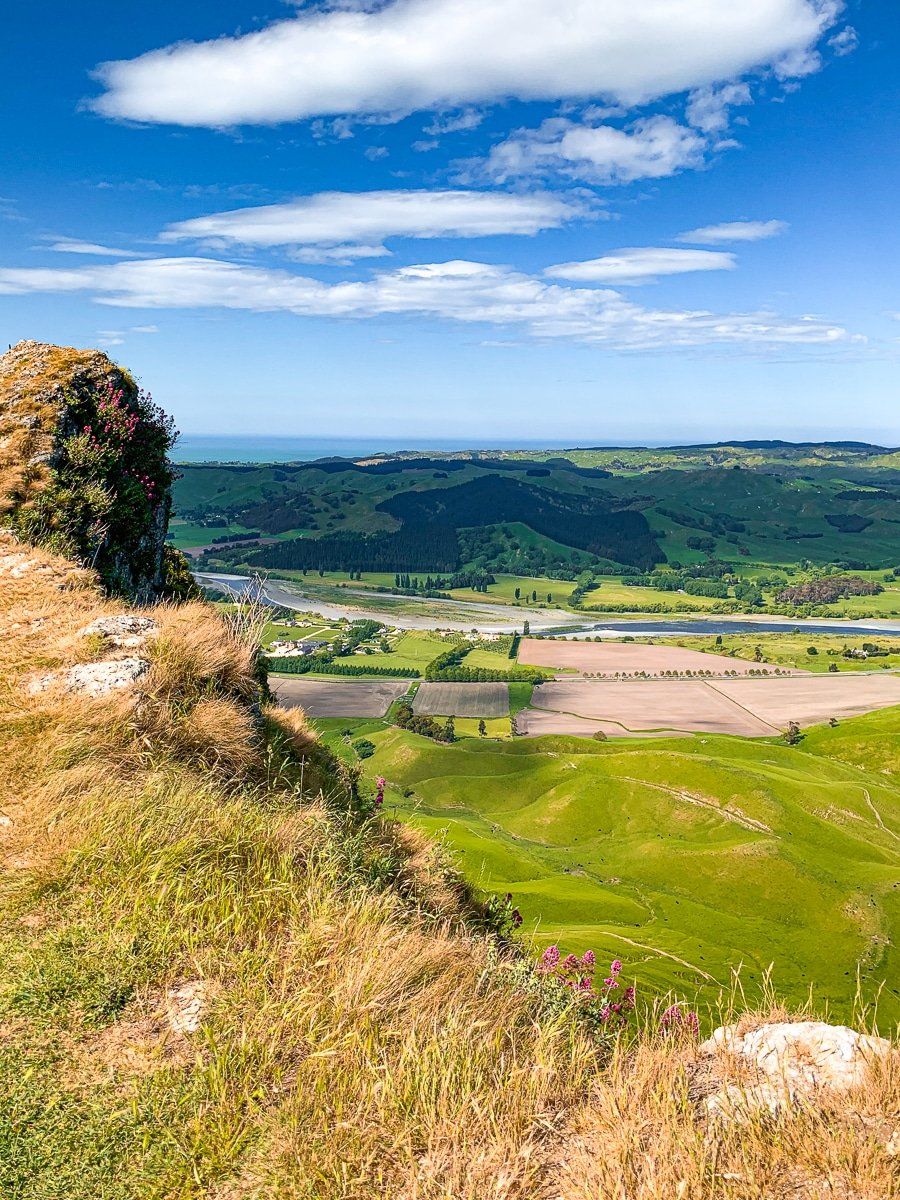
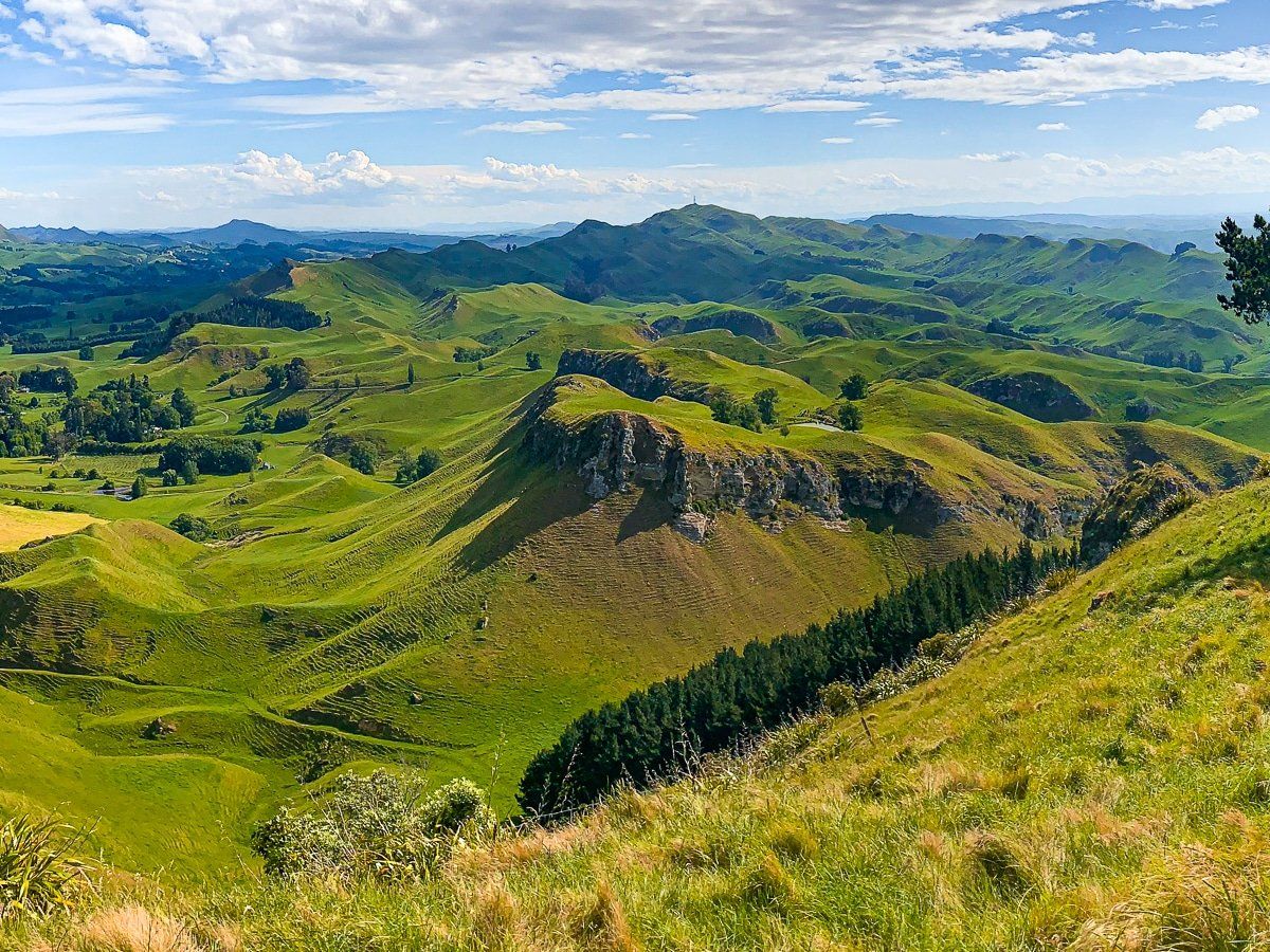
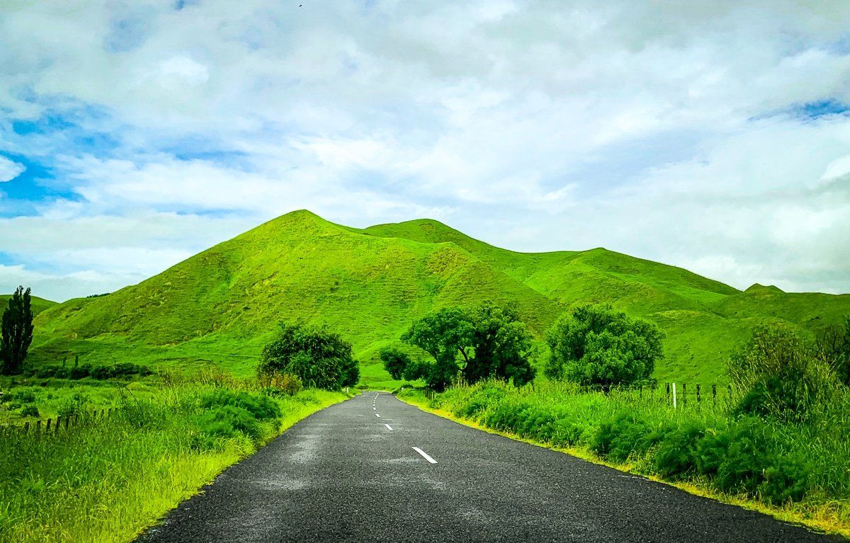
Te Mata Peak
Once you’ve had enough of the town and vineyards, head to Te Mata Peak, just south of Havelock North. The peak has many interesting features and 360 degree views, so take the time to wander around while staying clear of the cliff edge drops.
Te Mata Peak is also unusual in that it’s a hilltop viewpoint you can drive to, however you can of course hike up – allow 2 to 4 hours return, depending on your starting point.
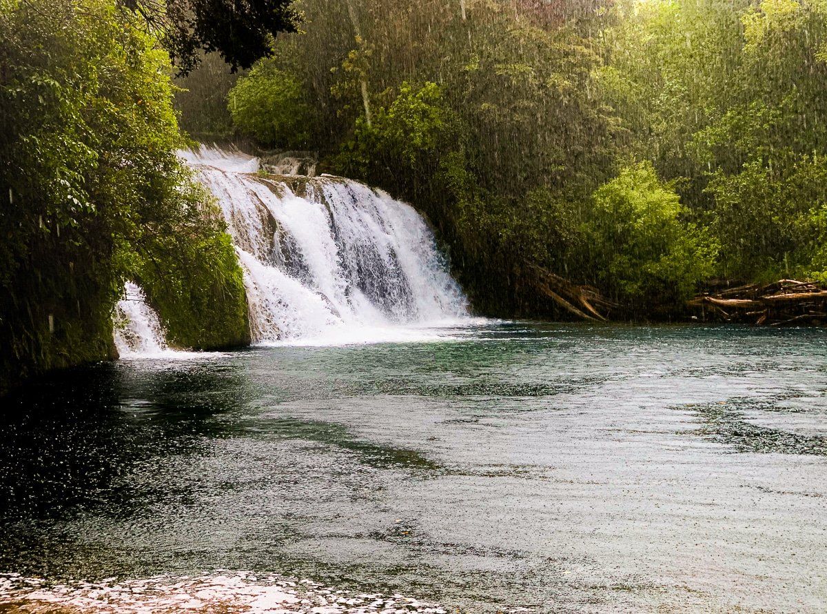
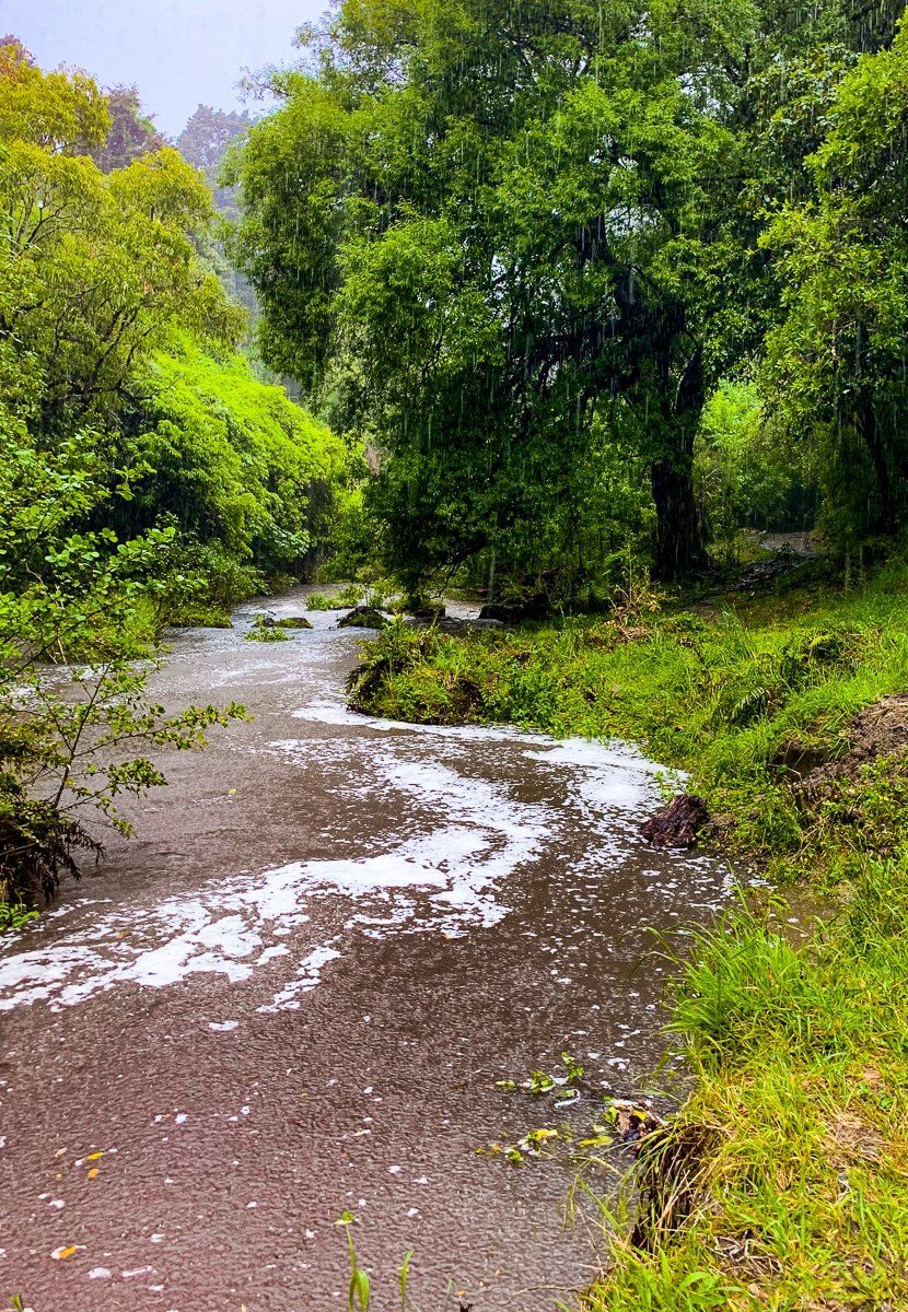
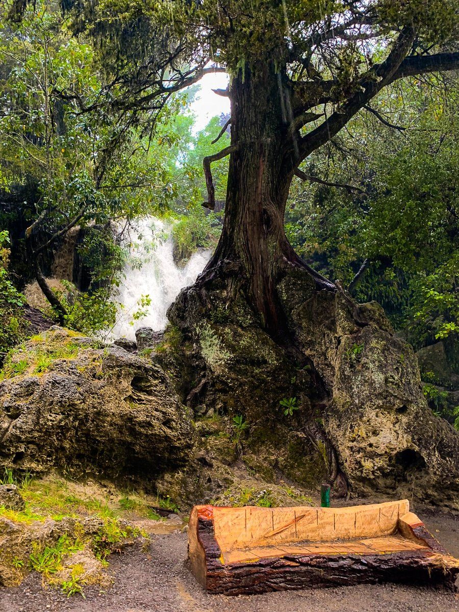
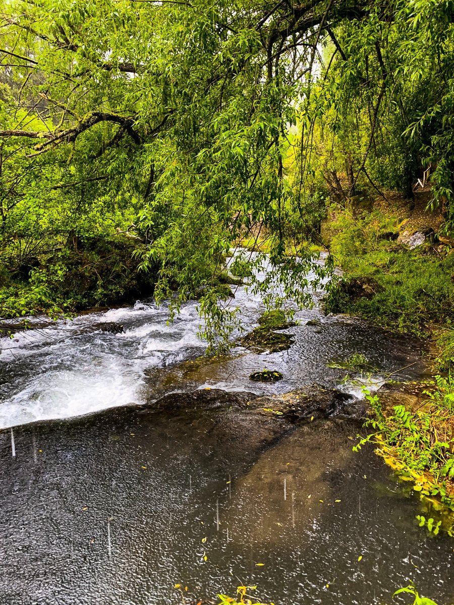
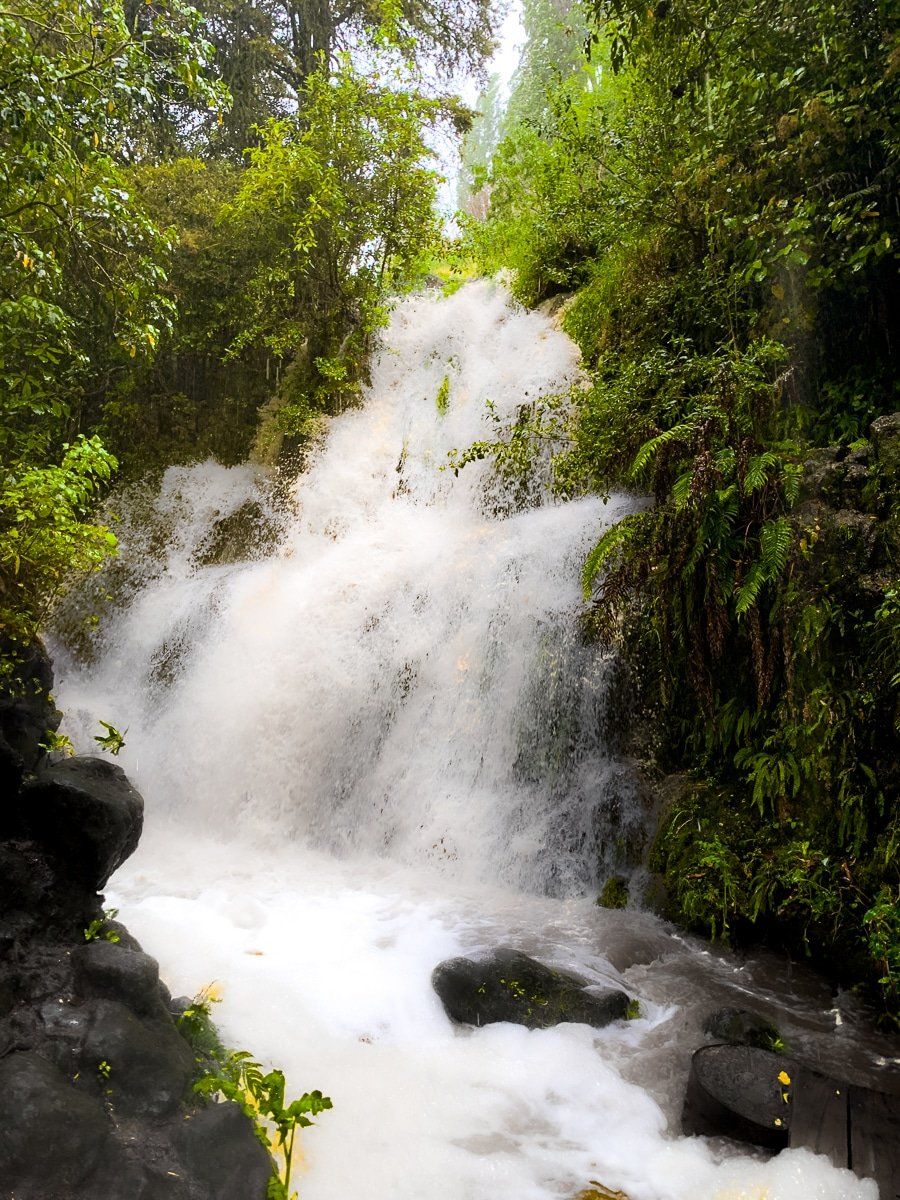
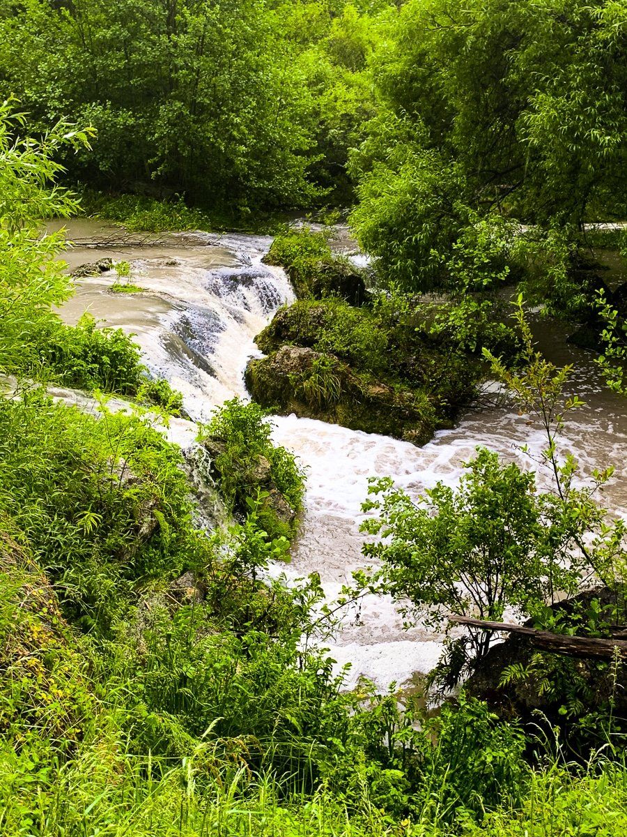
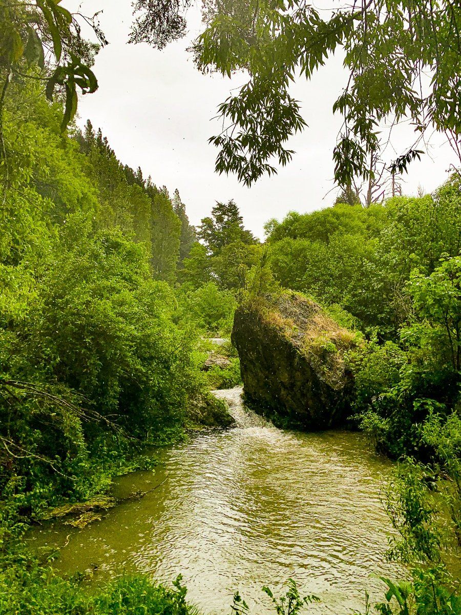
Maraetotara Falls
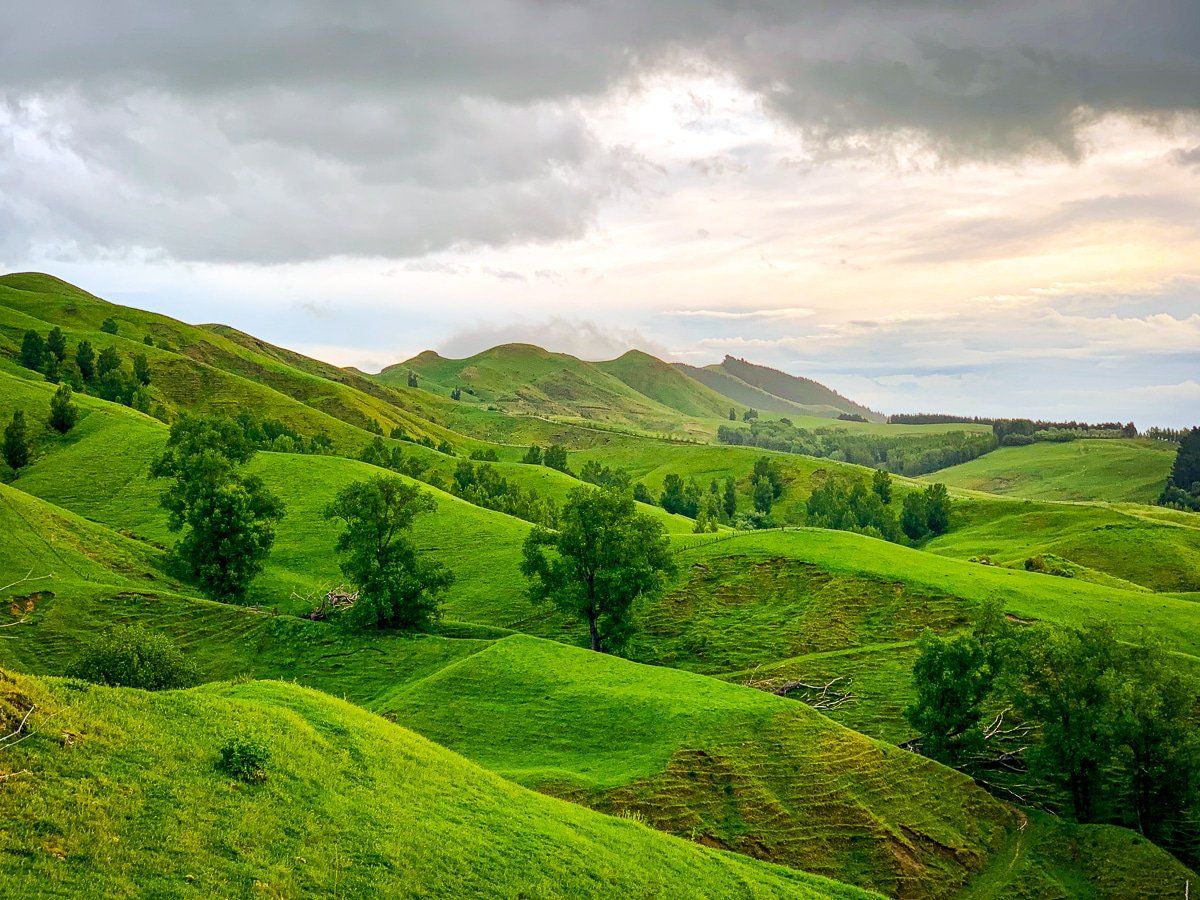
Continue on past Te Mata Peak towards Ocean Beach Road, but take a short detour on Maraetotara Road. About 3 kms along you’ll see a sign for the Maraetotara Falls. There are two waterfalls, and when we visited, a flash rainstorm struck which made for a real spectacle and a flooded track.
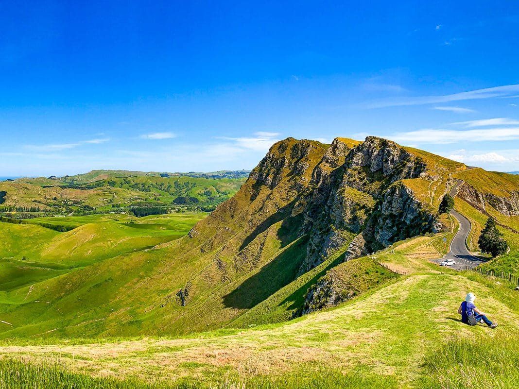
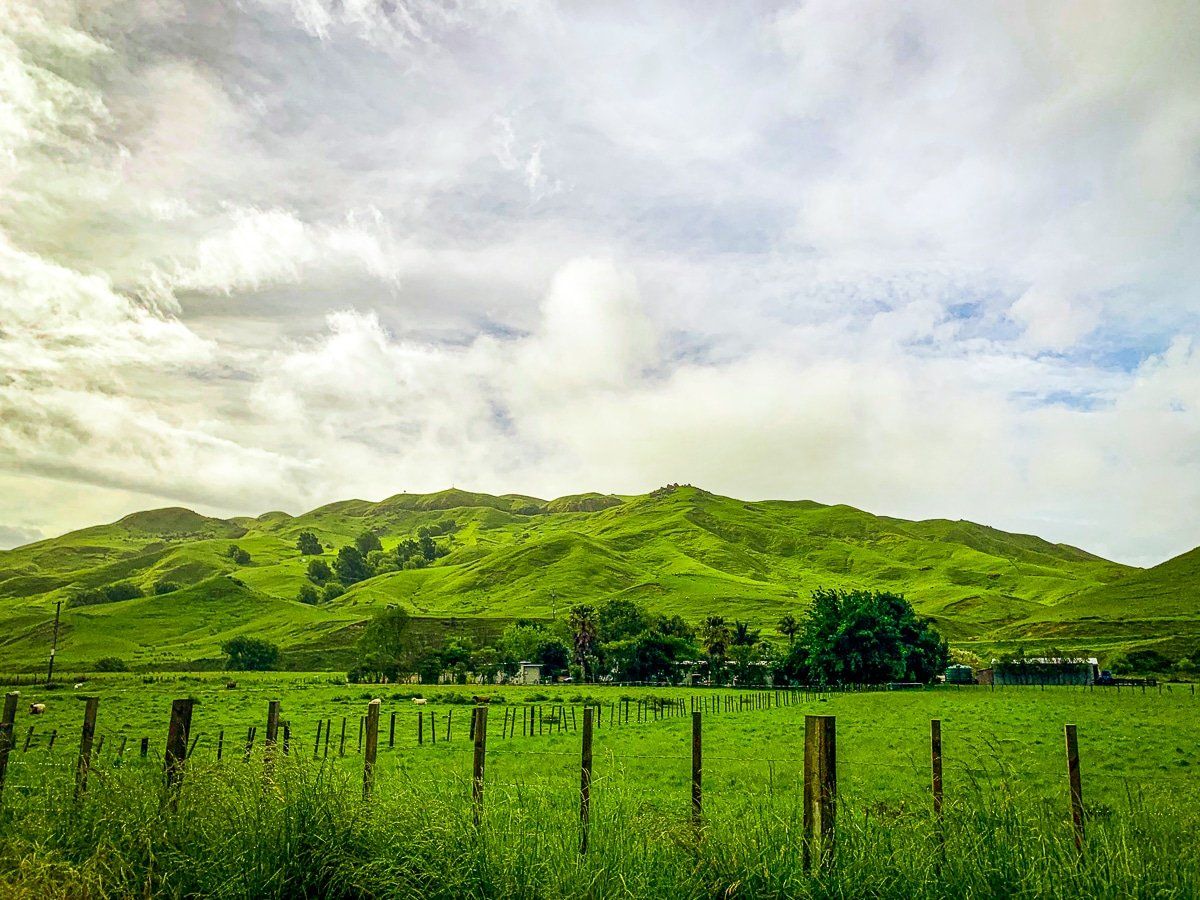
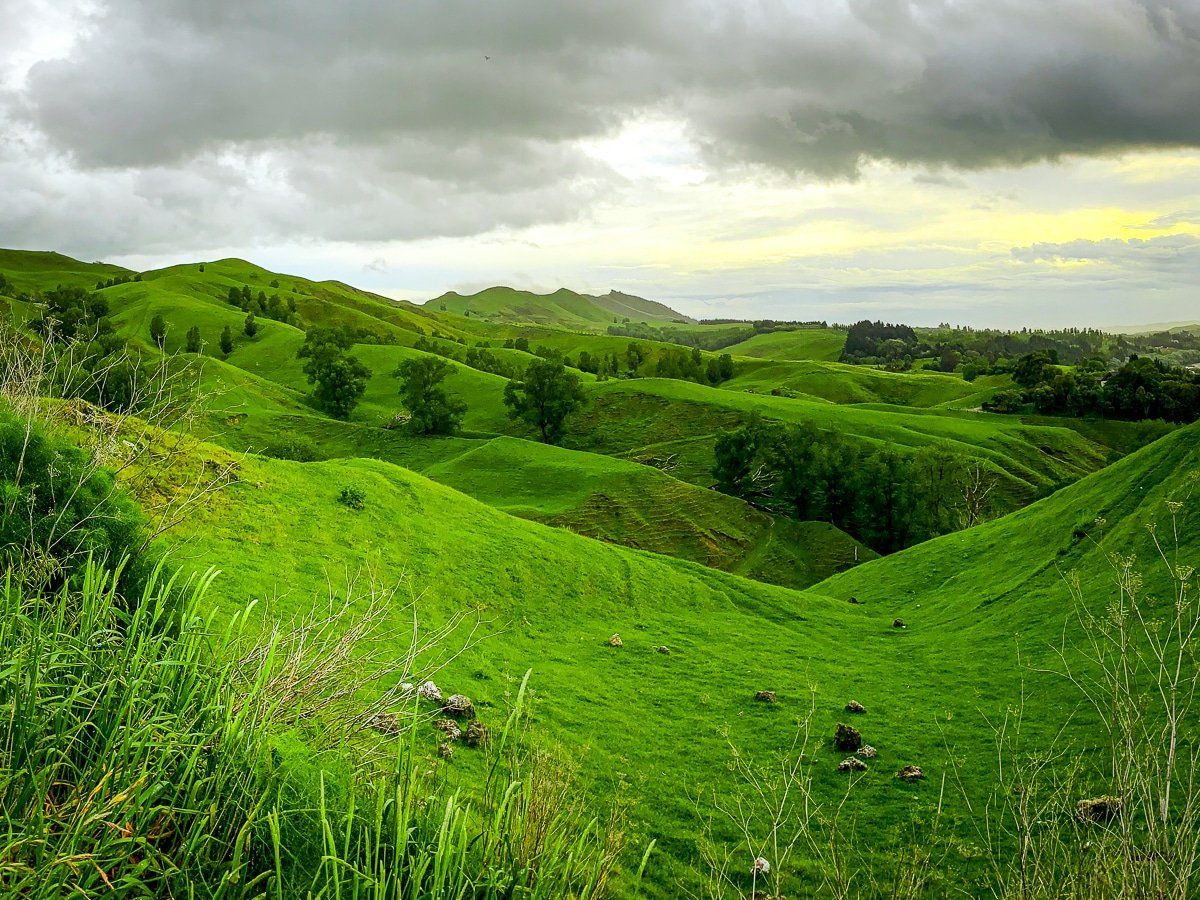
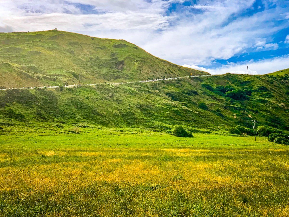
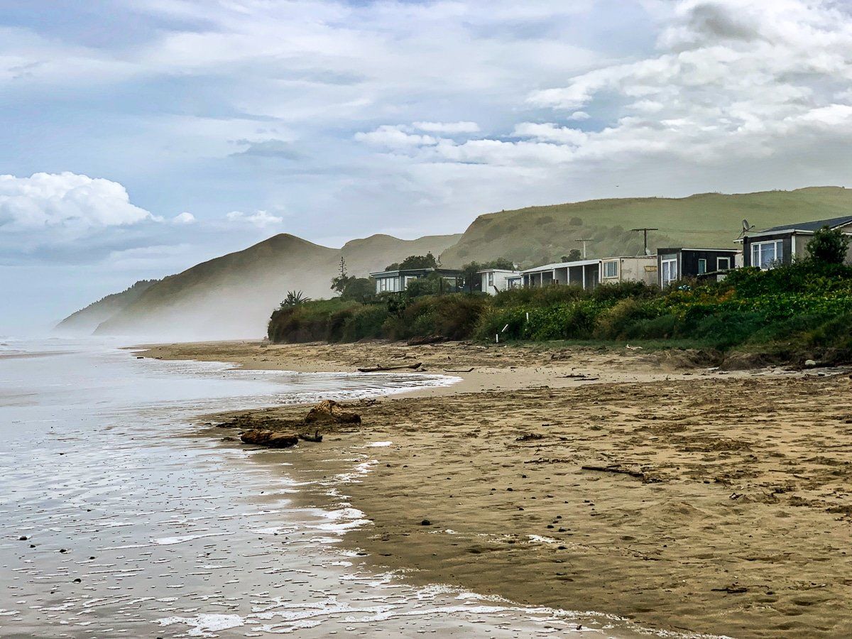
Ocean Beach Road
The lush green hills along Ocean Beach Road were astonishing after rainfall, deserving their own little section.

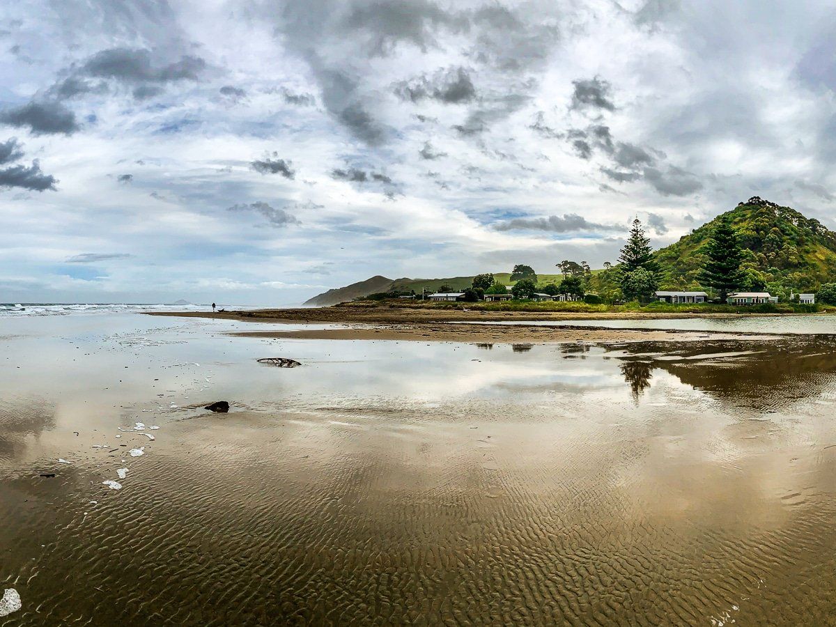
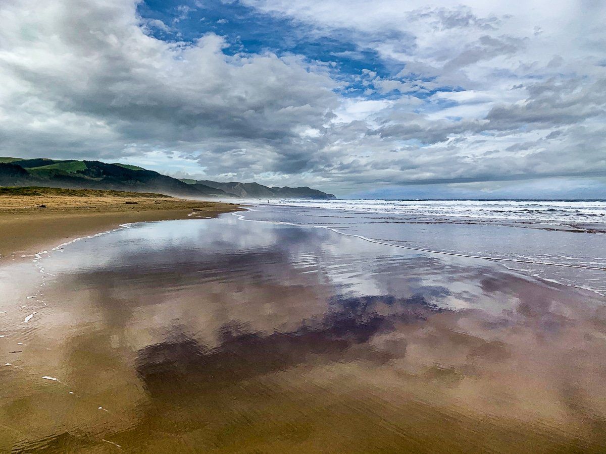
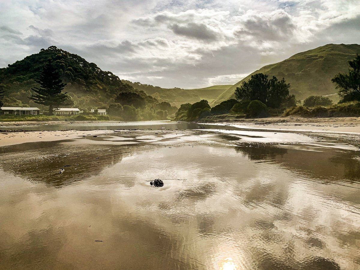
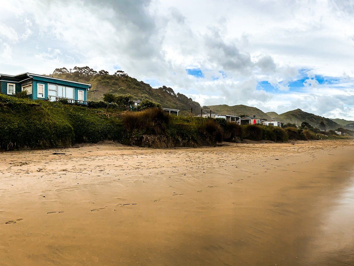
Ocean Beach
Unlike the beach at Napier, Ocean Beach is a classic New Zealand surf beach with colourful orange-tinged sand. In summer, surf rescue is present and it’s suitable for swimming and surfing.
You can walk to either end of the beach and it’s possible to get as far as Cape Kidnappers to the north. However, only do this at low tide and with some supporting local knowledge.

Want more North Island trip ideas?
Check out our posts on Great Barrier Island, the Coromandel and Taranaki.